Elevation of Vinje, Norway
Location: Norway > Telemark >
Longitude: 7.7647756
Latitude: 59.889972
Elevation: 1400m / 4593feet
Barometric Pressure: 86KPa
Elevation Map:
Satellite Map:
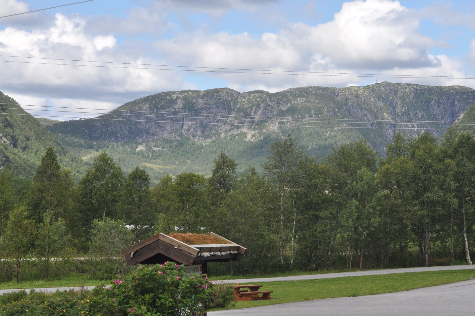
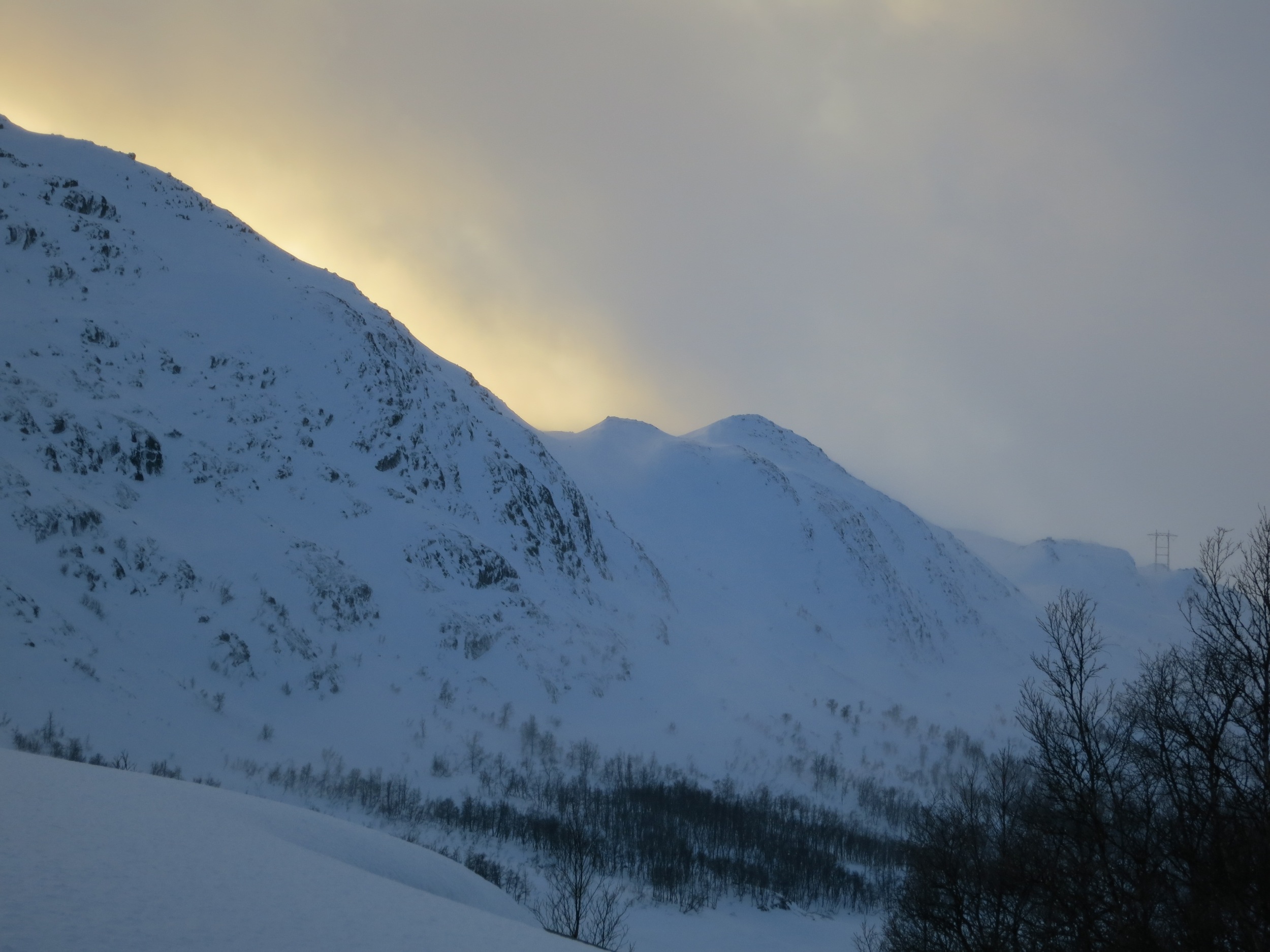
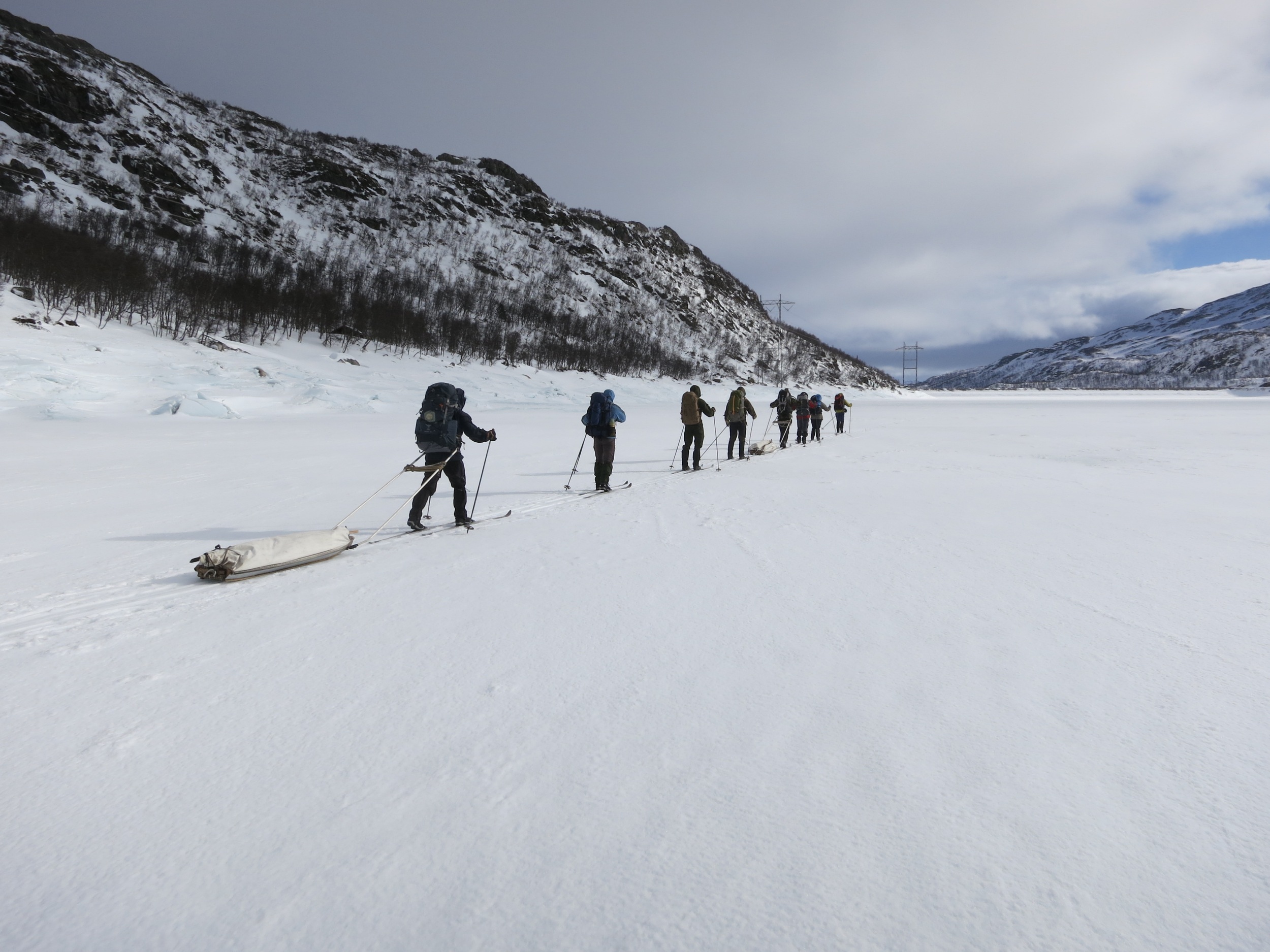
Related Photos:
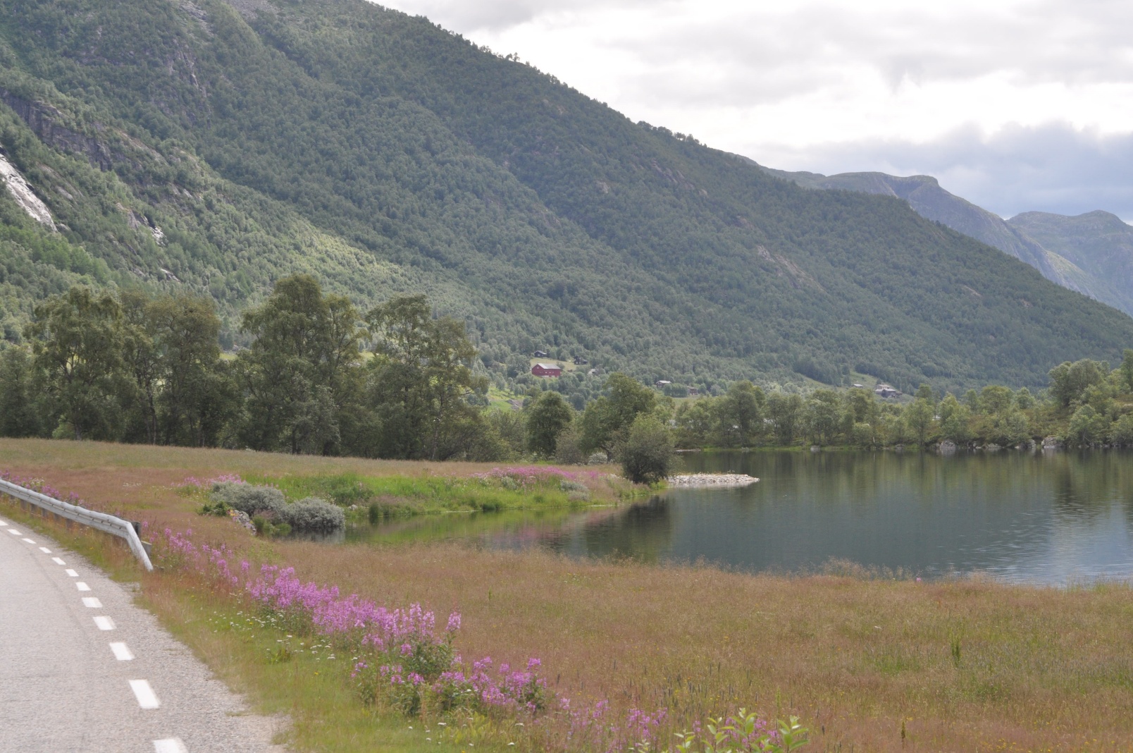
DSC_0291.JPG

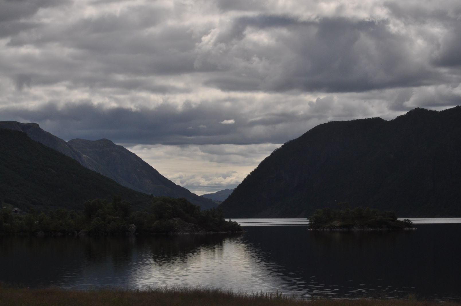
a grey day
DSC_0290.JPG
Last Import-4
All Imported-985
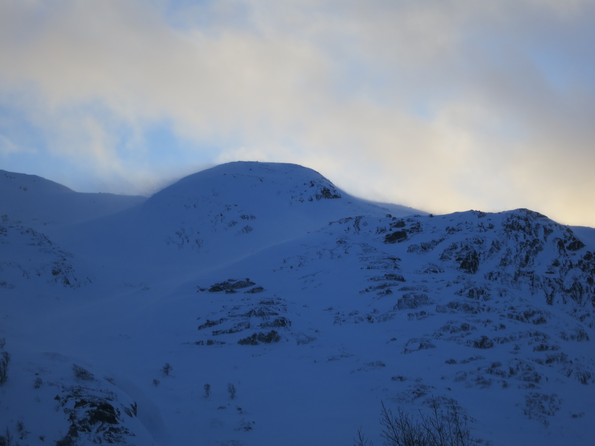
DSC_0292.JPG

Last Import-10
Last Import-5

Last Import-9

Last Import-8

Ole Bull
Topographic Map of Vinje, Norway
Find elevation by address:

Places in Vinje, Norway:
Places near Vinje, Norway:
Rv 10, Rauland, Norway
Haukeli
Rv 30, Rauland, Norway
Fv 24, Rauland, Norway
Rauland
Nore Og Uvdal
Rauland Ski Center
Hardangervidda National Park
Tokke
Eidsborg
Dalen
Hovden
Dyranut
Dyranut Turisthytta
Dyranut Fjellstova
Haukeliseter Fjellstue
Eidfjord
Seljord
Selstadgrendi 19, Flatdal, Norway
Seterdalen, Geilo, Norway
Recent Searches:
- Elevation of Luther Road, Luther Rd, Auburn, CA, USA
- Elevation of Unnamed Road, Respublika Severnaya Osetiya — Alaniya, Russia
- Elevation of Verkhny Fiagdon, North Ossetia–Alania Republic, Russia
- Elevation of F. Viola Hiway, San Rafael, Bulacan, Philippines
- Elevation of Herbage Dr, Gulfport, MS, USA
- Elevation of Lilac Cir, Haldimand, ON N3W 2G9, Canada
- Elevation of Harrod Branch Road, Harrod Branch Rd, Kentucky, USA
- Elevation of Wyndham Grand Barbados Sam Lords Castle All Inclusive Resort, End of Belair Road, Long Bay, Bridgetown Barbados
- Elevation of Iga Trl, Maggie Valley, NC, USA
- Elevation of N Co Rd 31D, Loveland, CO, USA