Elevation of Villmergen Paketfiliale, Villmergen, Switzerland
Location: Switzerland > Aargau > Bremgarten > Villmergen >
Longitude: 8.2533502
Latitude: 47.3545543
Elevation: 436m / 1430feet
Barometric Pressure: 96KPa
Elevation Map:
Satellite Map:
Related Photos:

View of Swiss Alps

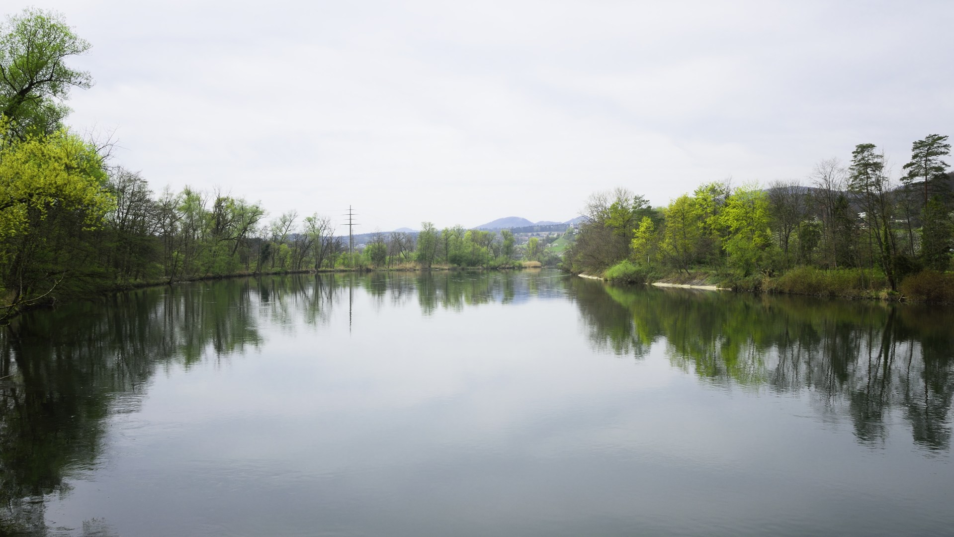
Aare Auen

Beautiful Switzerland

Rebellious little cloud
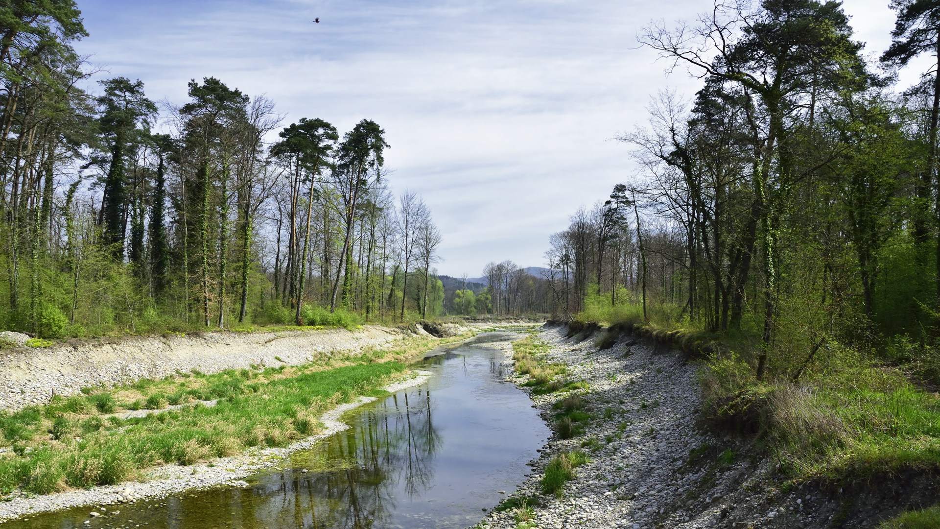
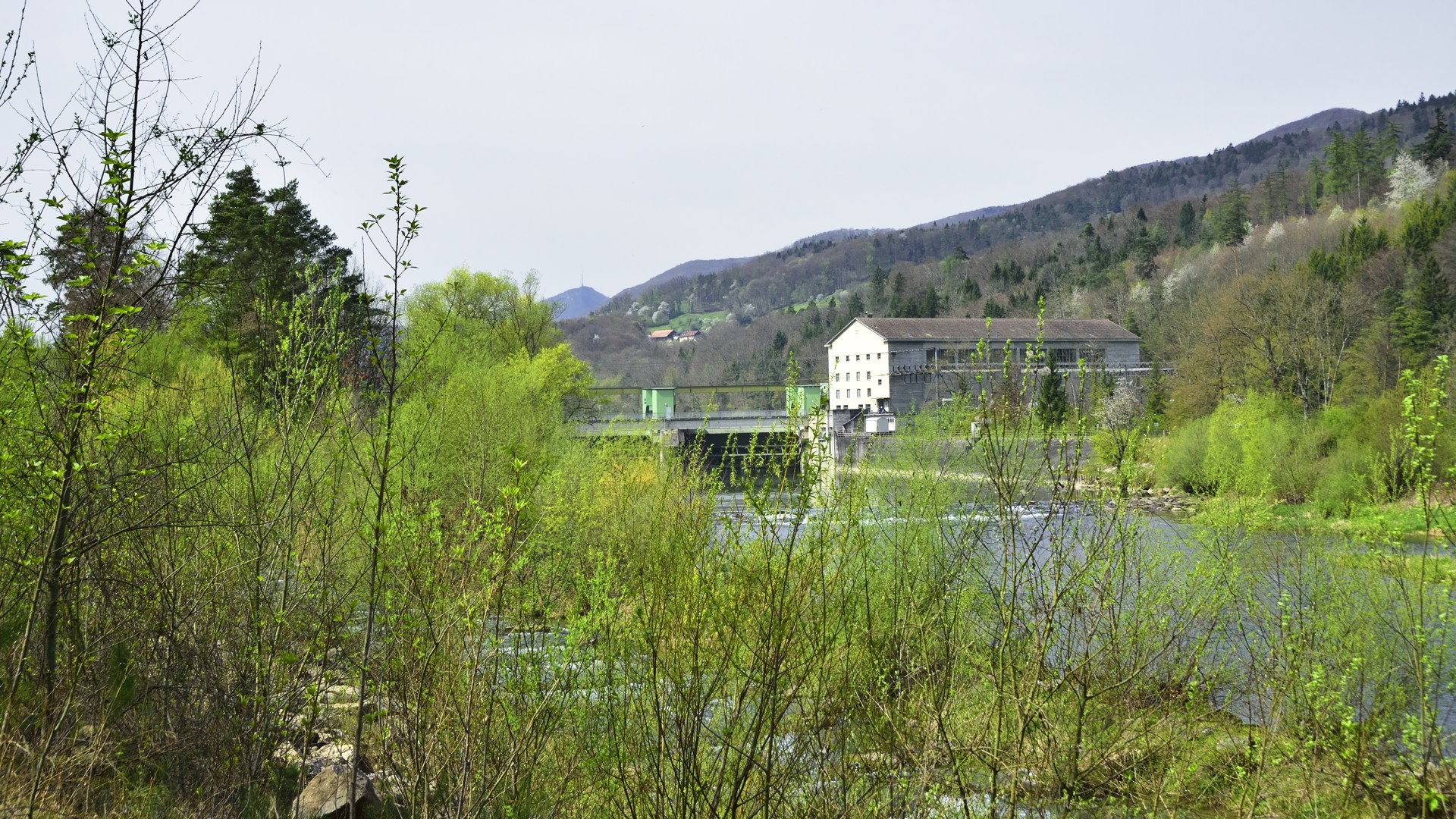
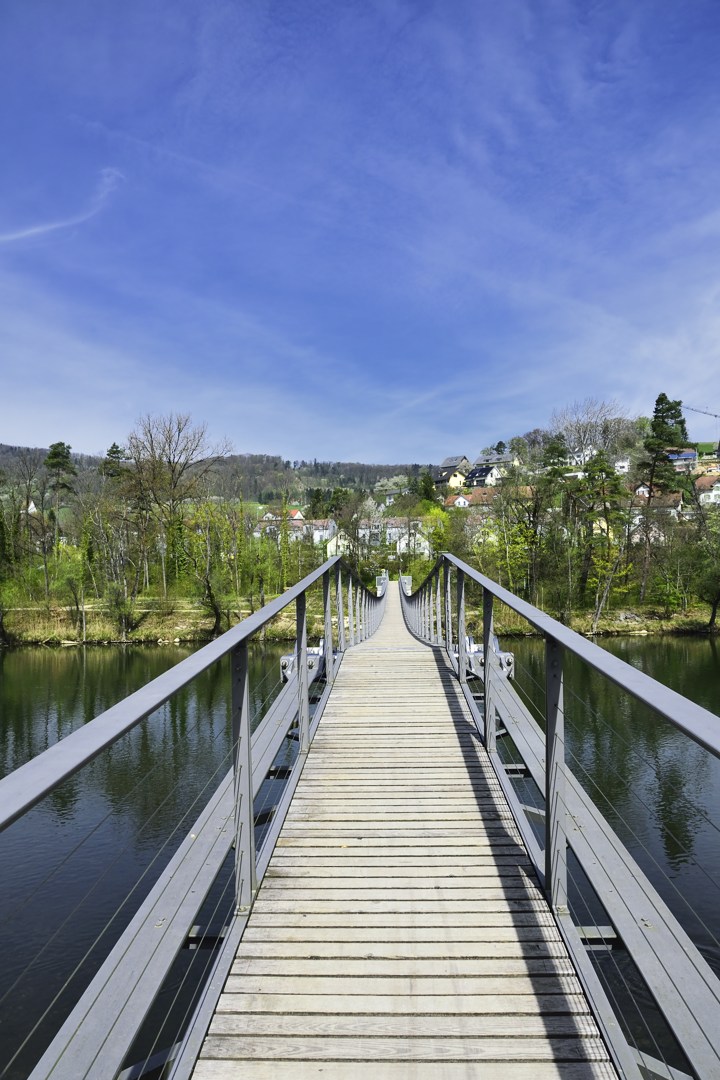
Aare Auen

Eichberg/Oak Hill

Aare Auen
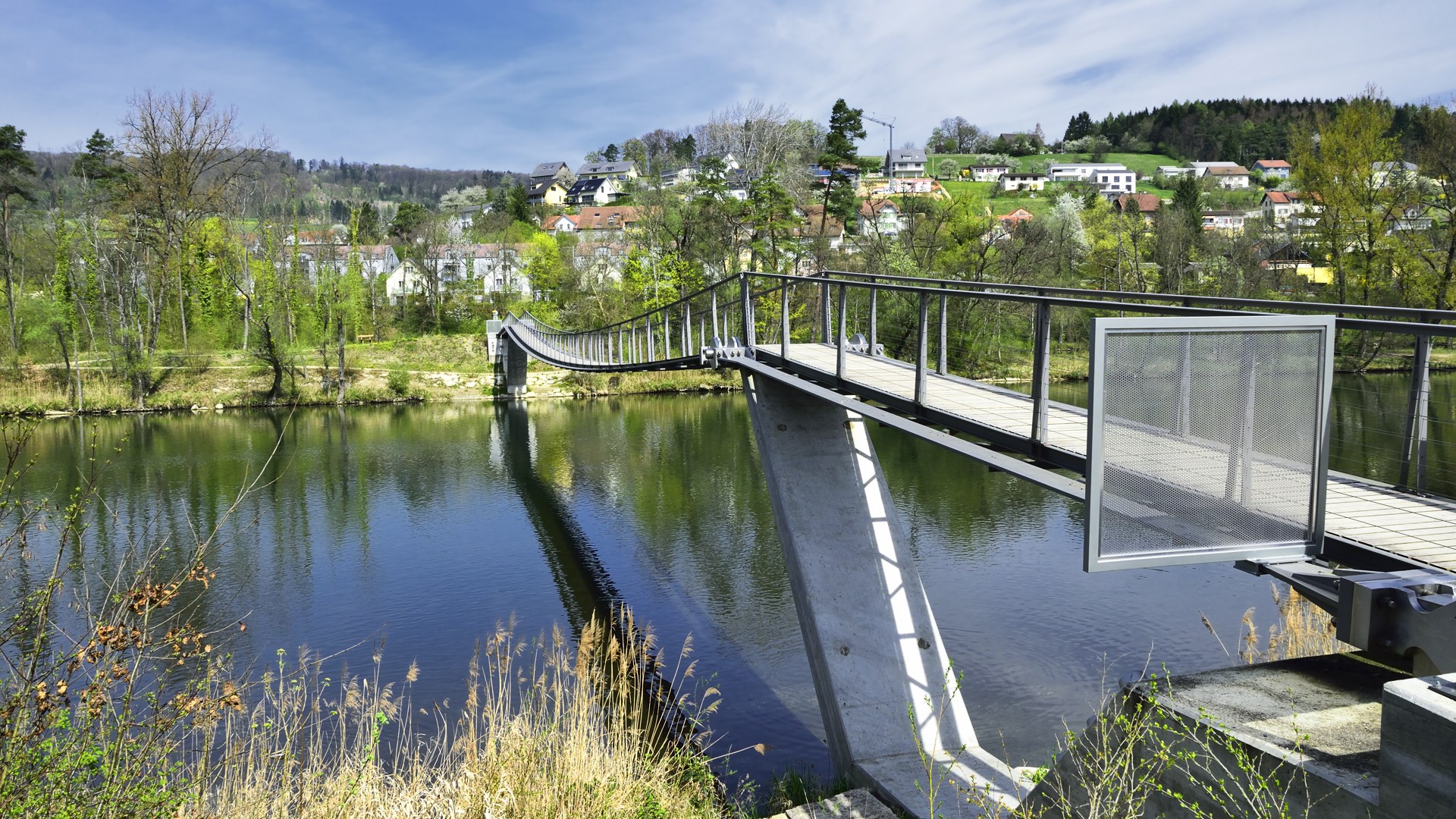
Aare Auen
Aare Auen
Aare Auen
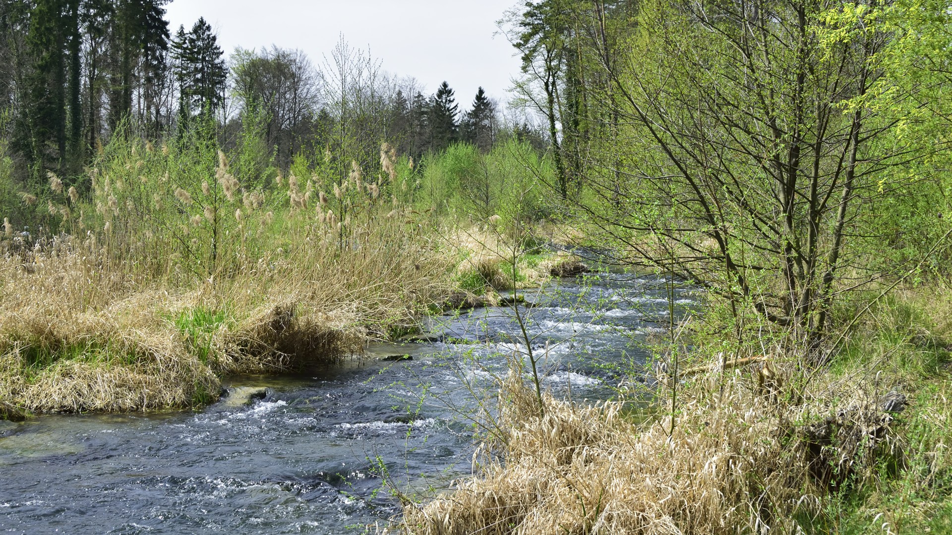
Aare Auen
Aare Auen
View in Berikon
View in Berikon
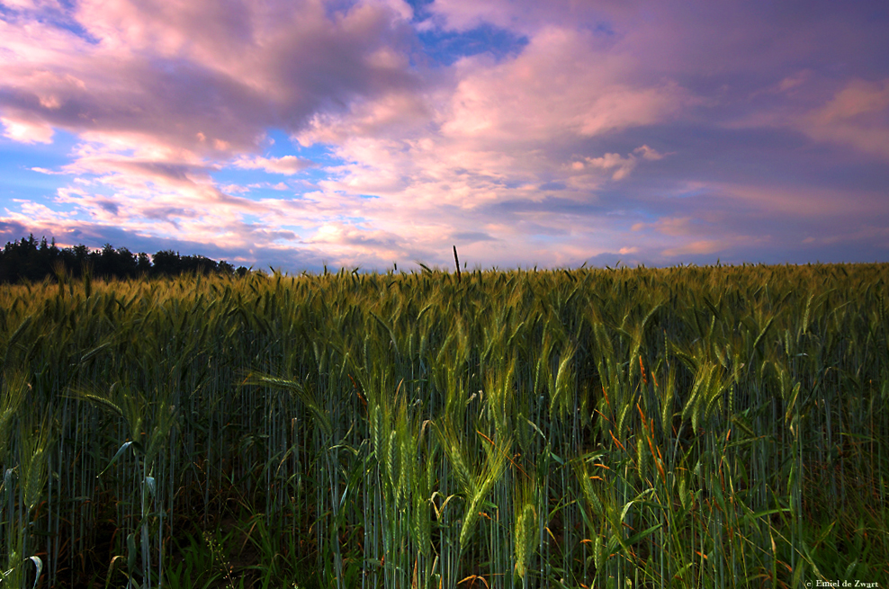
Farmer's Symphony
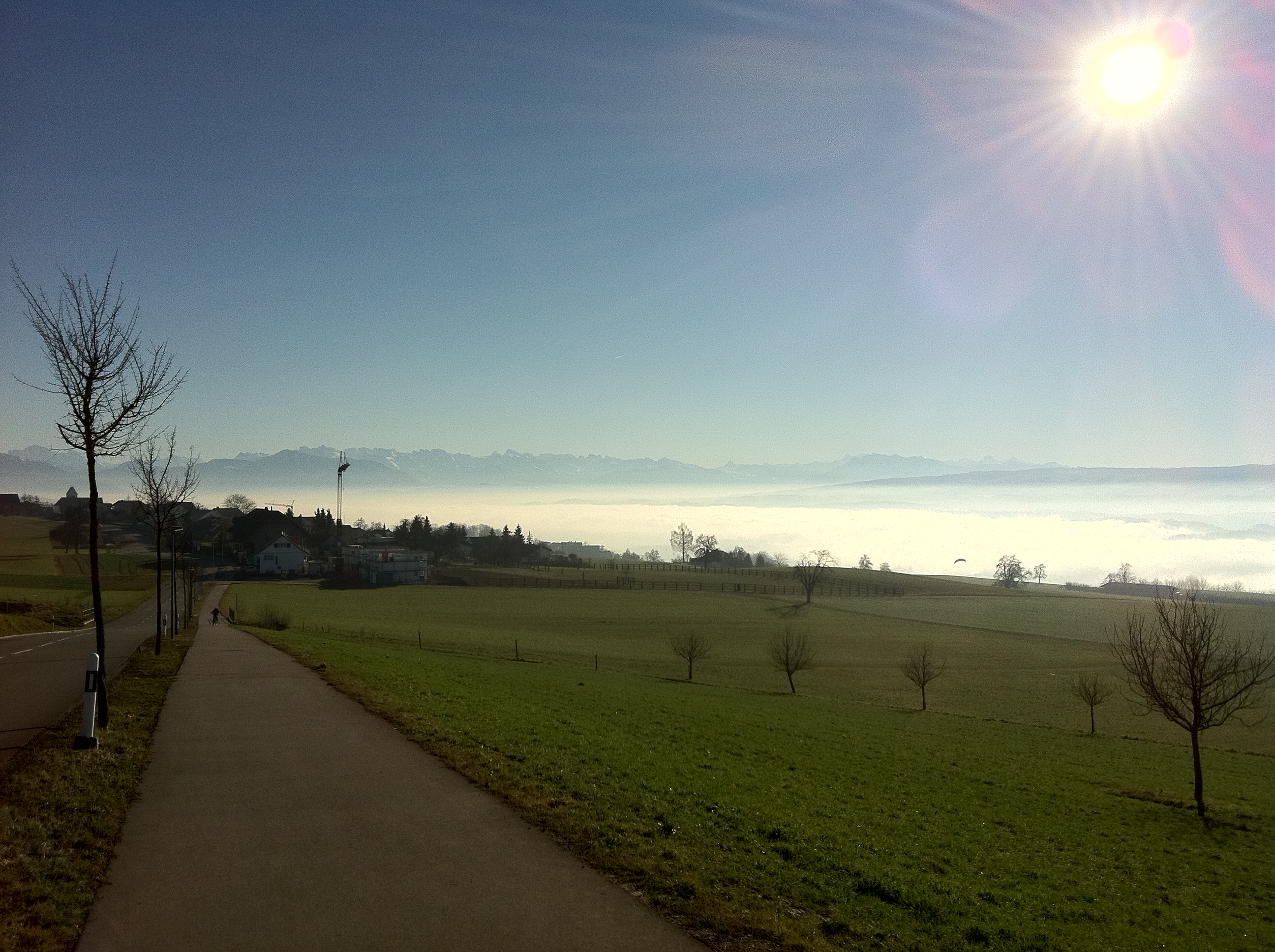
View to the Alps
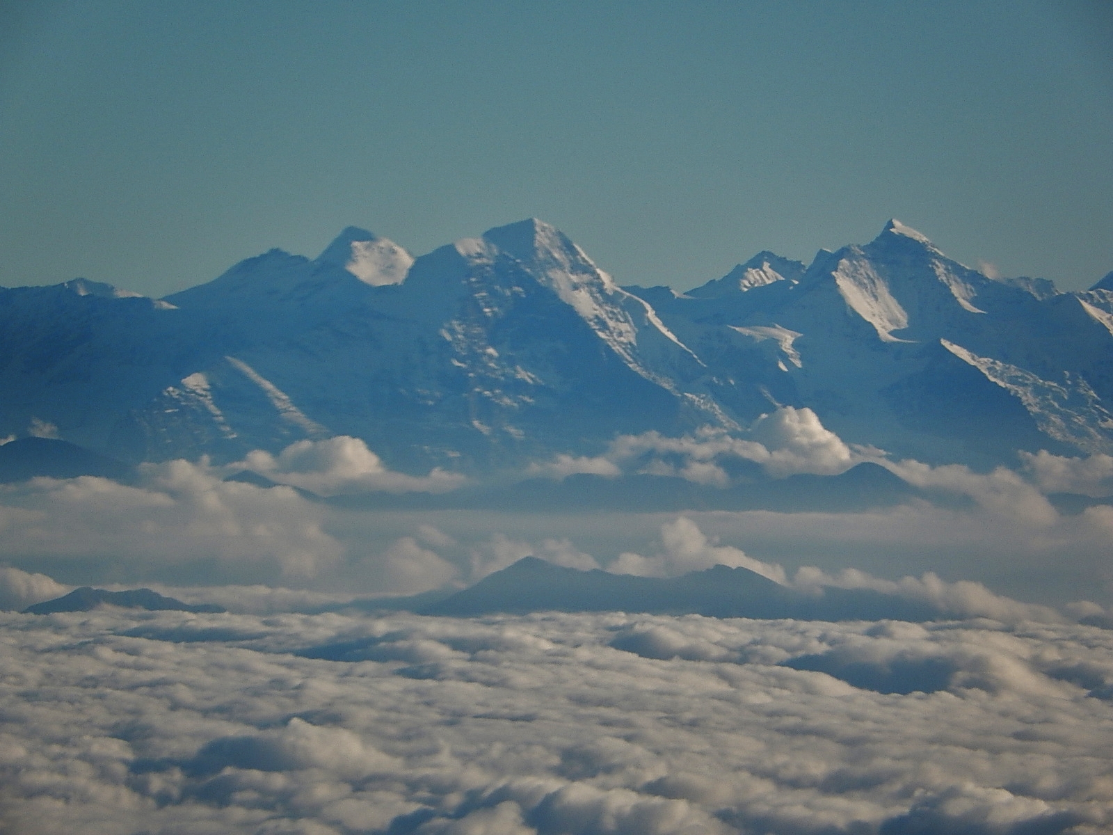
Swiss Alps

Snowfall tree
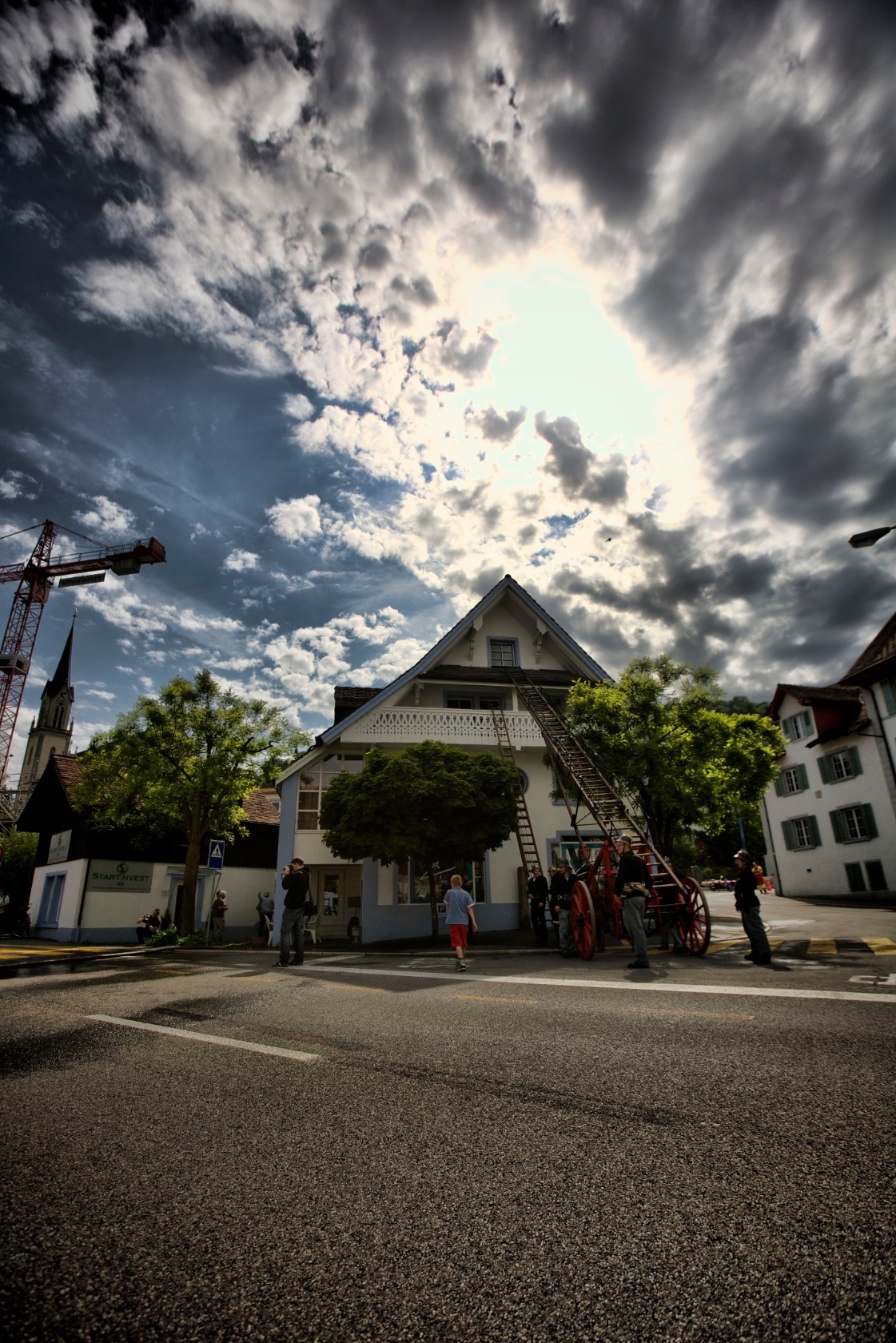
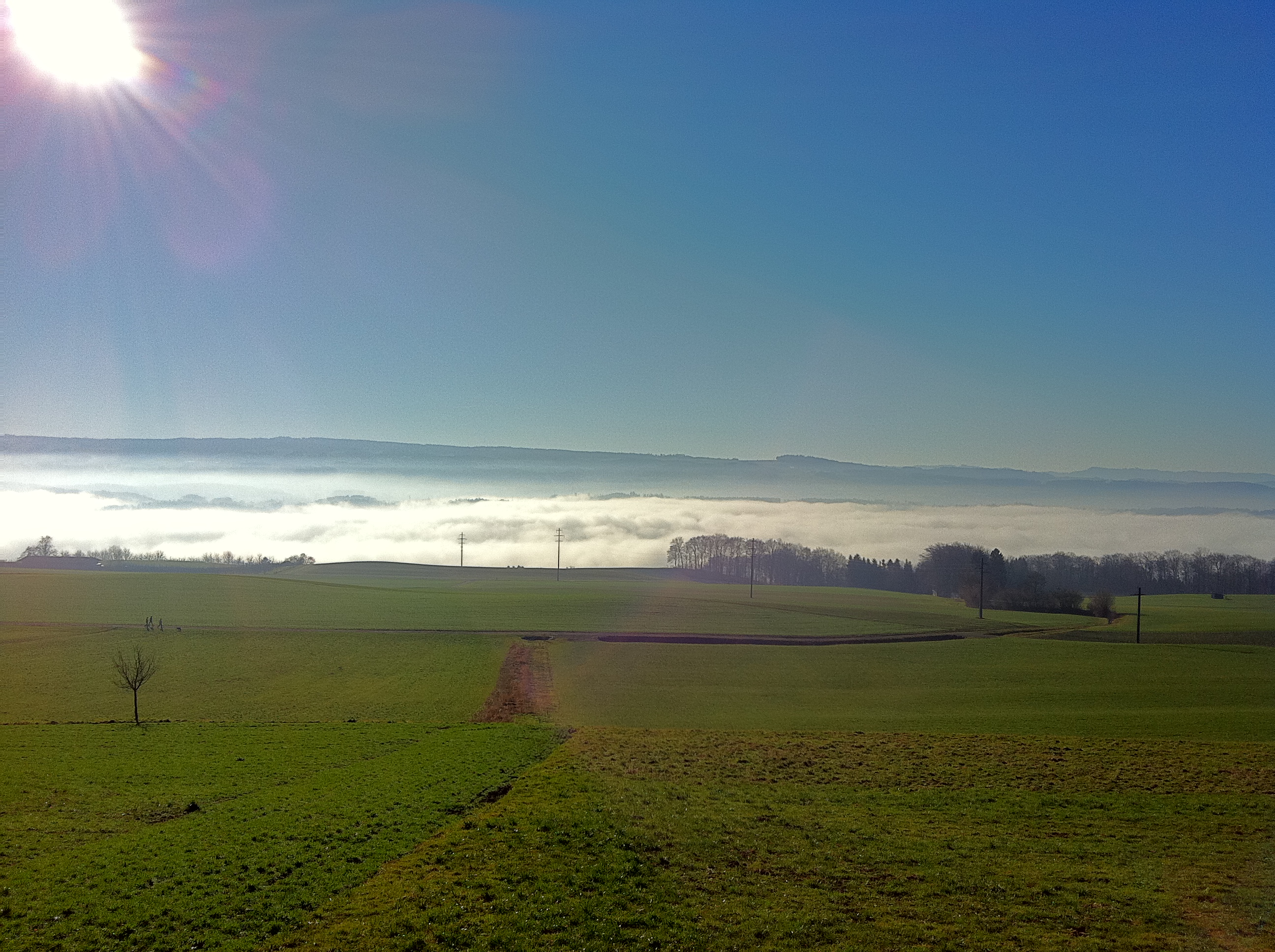
Sky over Villmergen

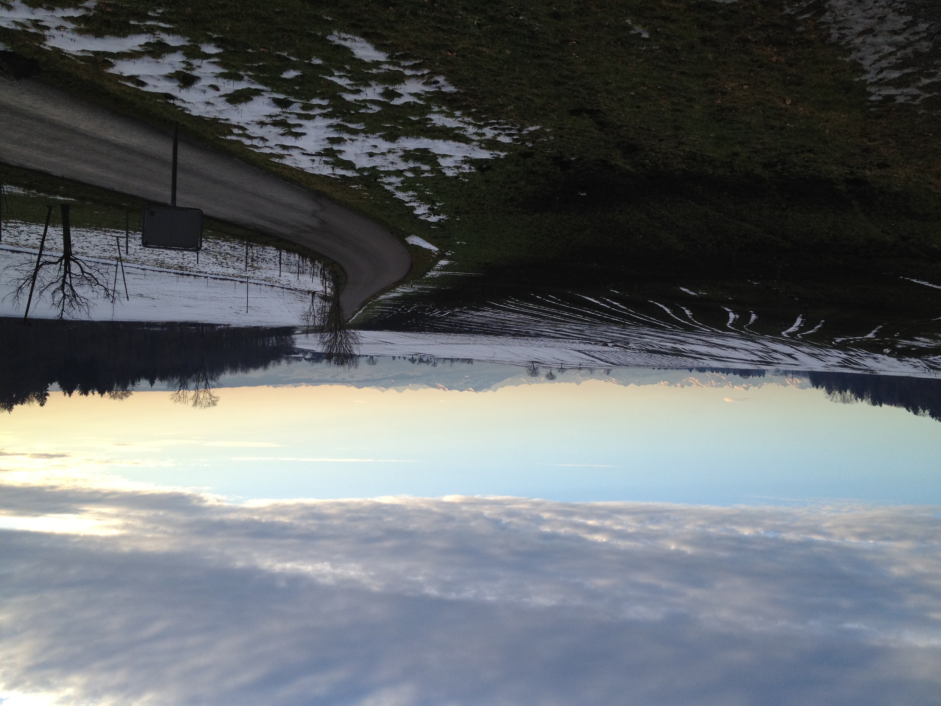
Romantic view
Villmergen Sky
Topographic Map of Villmergen Paketfiliale, Villmergen, Switzerland
Find elevation by address:

Places near Villmergen Paketfiliale, Villmergen, Switzerland:
Villmergen
Bremgarten
Aargau
Ifangweg 1, Nesselnbach, Switzerland
Seengen
Castle Of Hallwyl
Lenzburg District
Bremgarten
Schongau
Oberrohrdorf
Baden District
Lindenberg
Holderbank
Muri District
10a
Muri
Mülligerstrasse 9
Windisch
Kulm District
Baden
Recent Searches:
- Elevation of Corso Fratelli Cairoli, 35, Macerata MC, Italy
- Elevation of Tallevast Rd, Sarasota, FL, USA
- Elevation of 4th St E, Sonoma, CA, USA
- Elevation of Black Hollow Rd, Pennsdale, PA, USA
- Elevation of Oakland Ave, Williamsport, PA, USA
- Elevation of Pedrógão Grande, Portugal
- Elevation of Klee Dr, Martinsburg, WV, USA
- Elevation of Via Roma, Pieranica CR, Italy
- Elevation of Tavkvetili Mountain, Georgia
- Elevation of Hartfords Bluff Cir, Mt Pleasant, SC, USA