Elevation of Villard, MN, USA
Location: United States > Minnesota > Pope County >
Longitude: -95.269199
Latitude: 45.7155184
Elevation: 415m / 1362feet
Barometric Pressure: 96KPa
Elevation Map:
Satellite Map:
Related Photos:
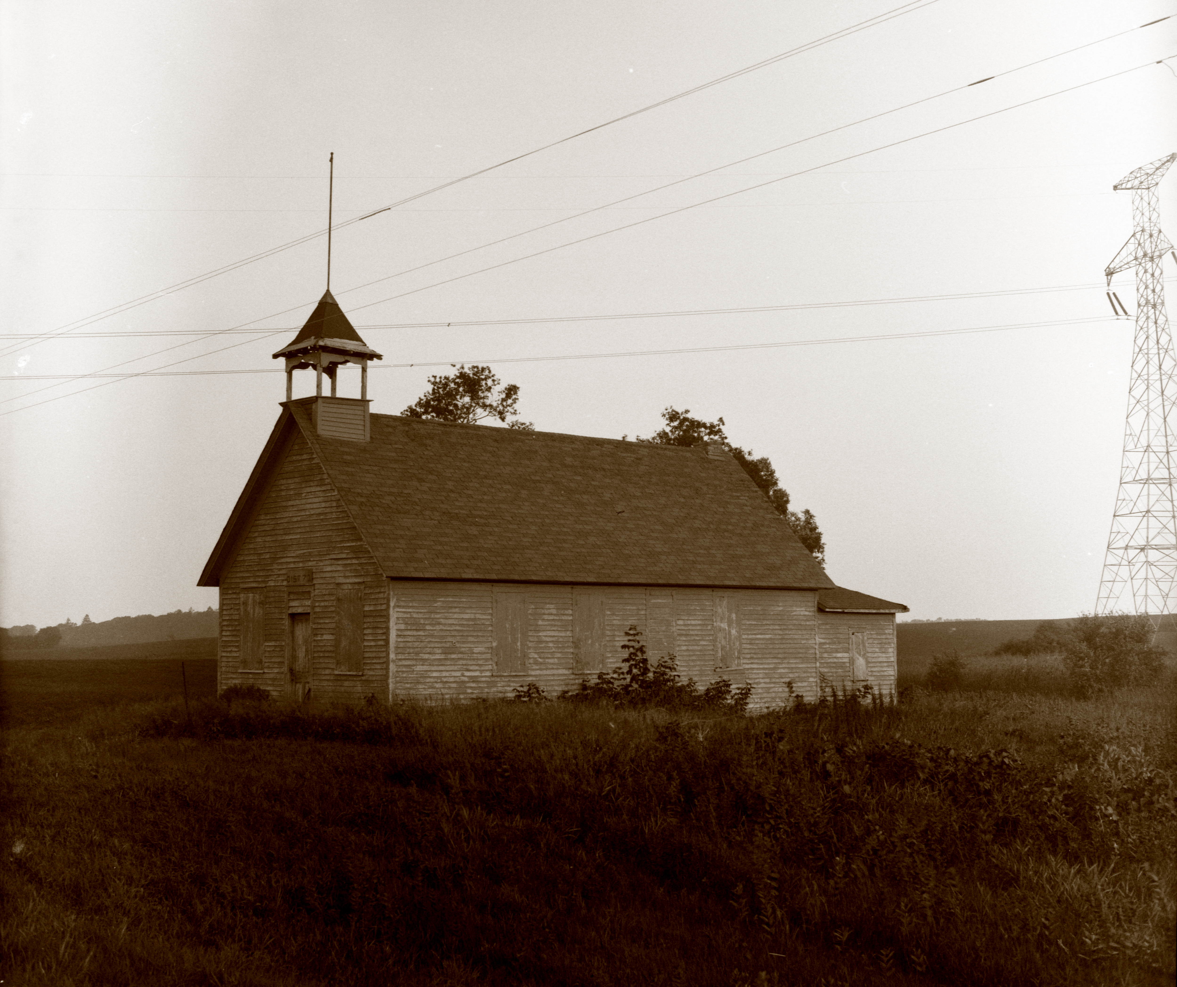
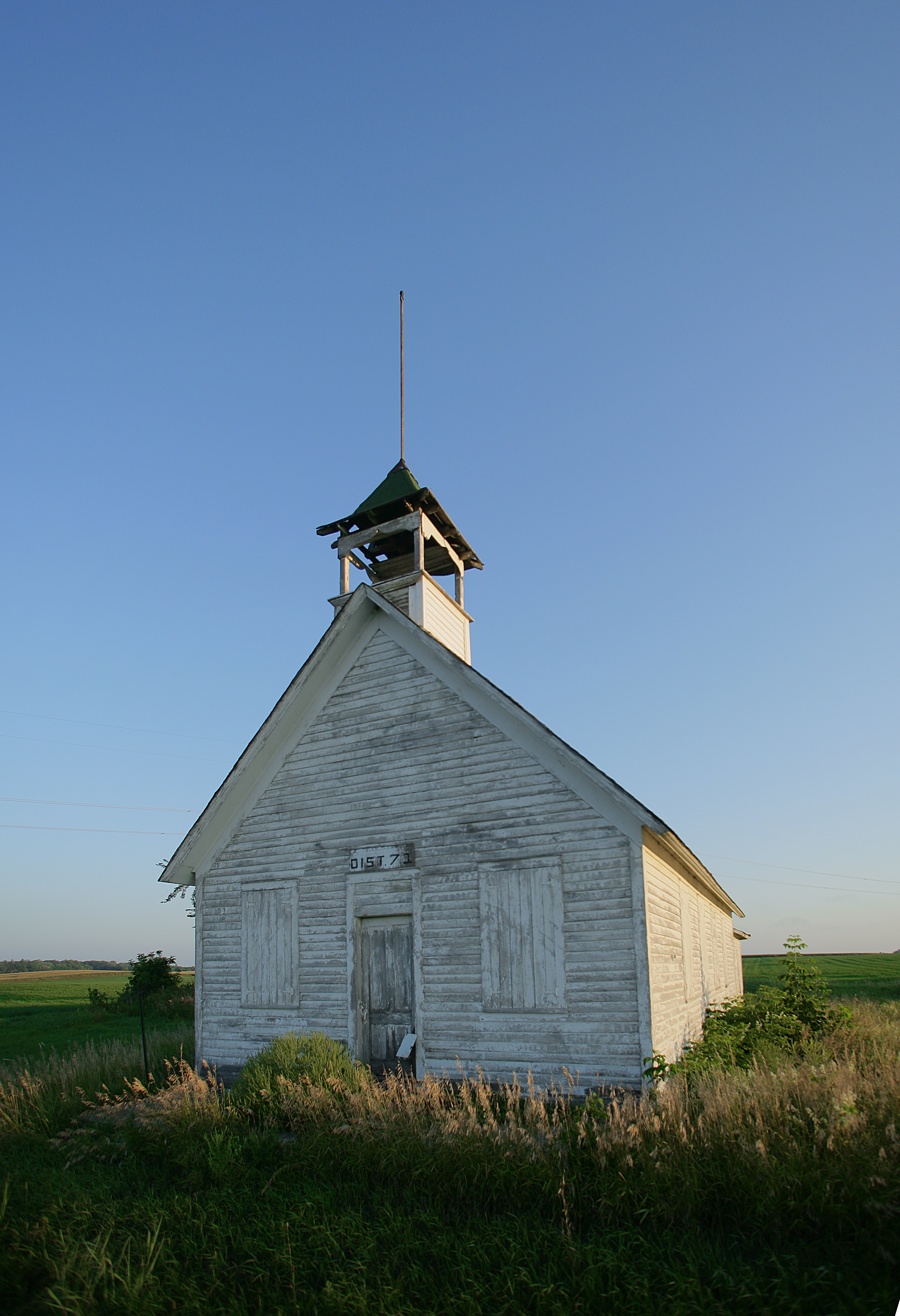
Of the Old School

Sunday sunset on Lake Victoria #sunset #sunrise #sun #TagsForLikes #TFLers #pretty #beautiful #red #orange #pink #sky #skyporn #cloudporn #nature #clouds #horizon #photooftheday #instagood #gorgeous #warm #view #night #morning #silhouette #instasky #all_s

Another OUW
A View of Lake Minnewaska

More SD60's on the 291

Glenwood Geologic Marker
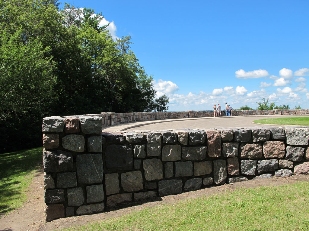
Glenwood Overlook Stonework
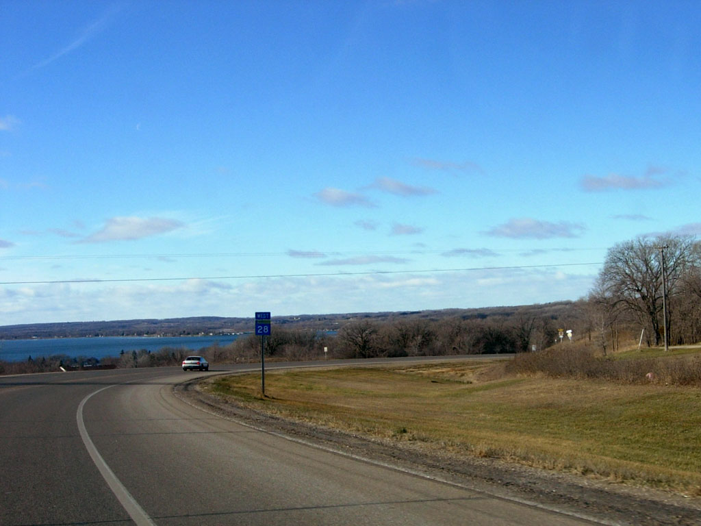
View of Lake Minnewaska on MN 28, entering Glenwood

Glenwood Overlook Stonework and Glenwood Watertower
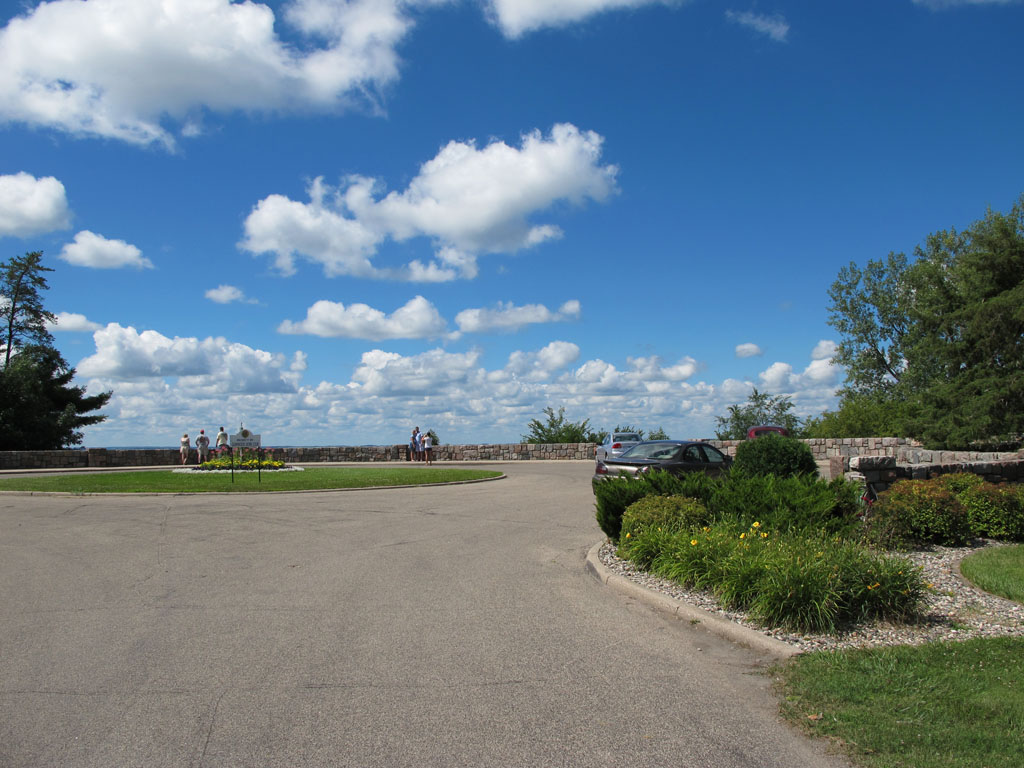
Glenwood Overlook
Sound No More the Bell

The Last Recess
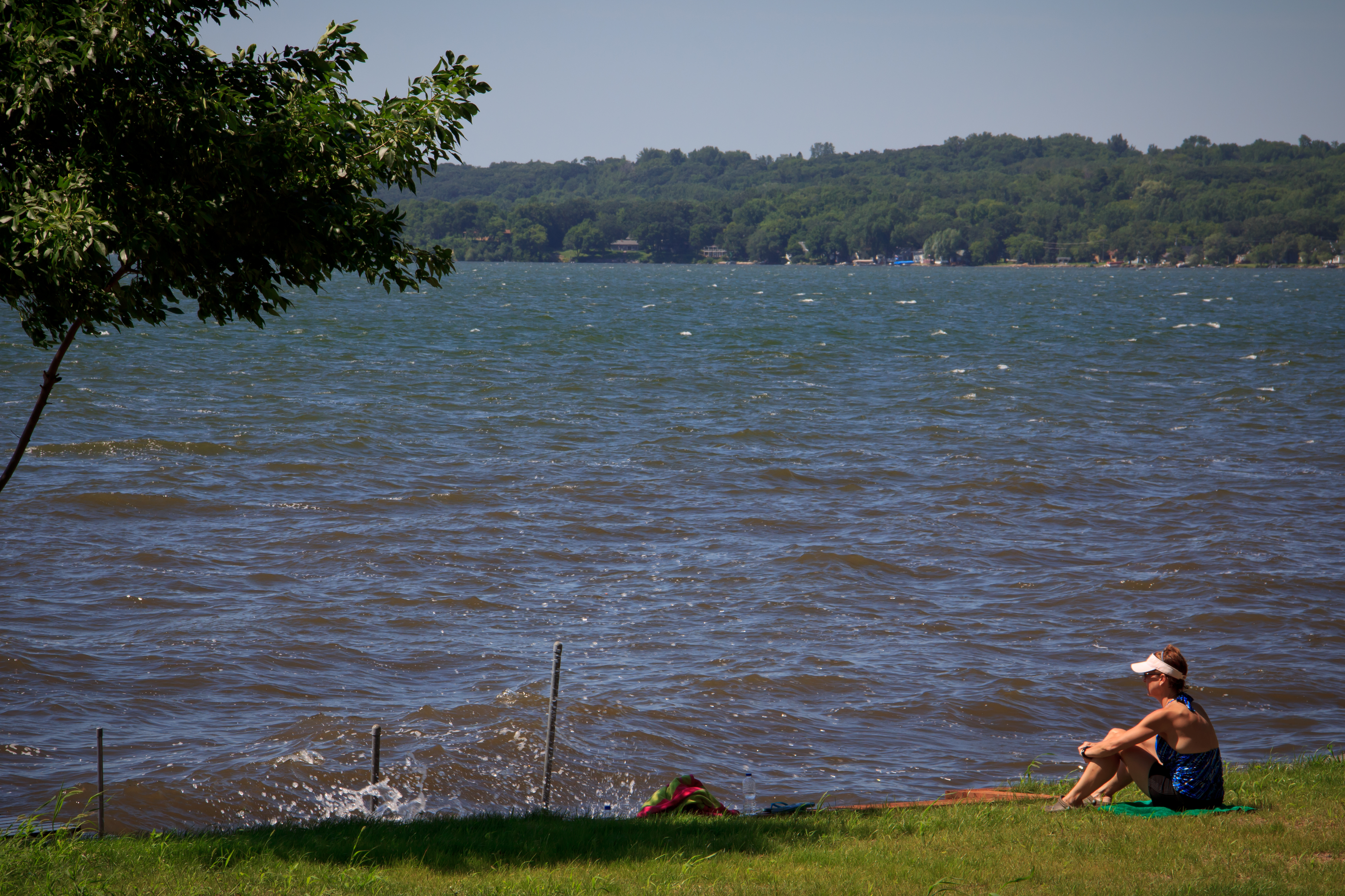
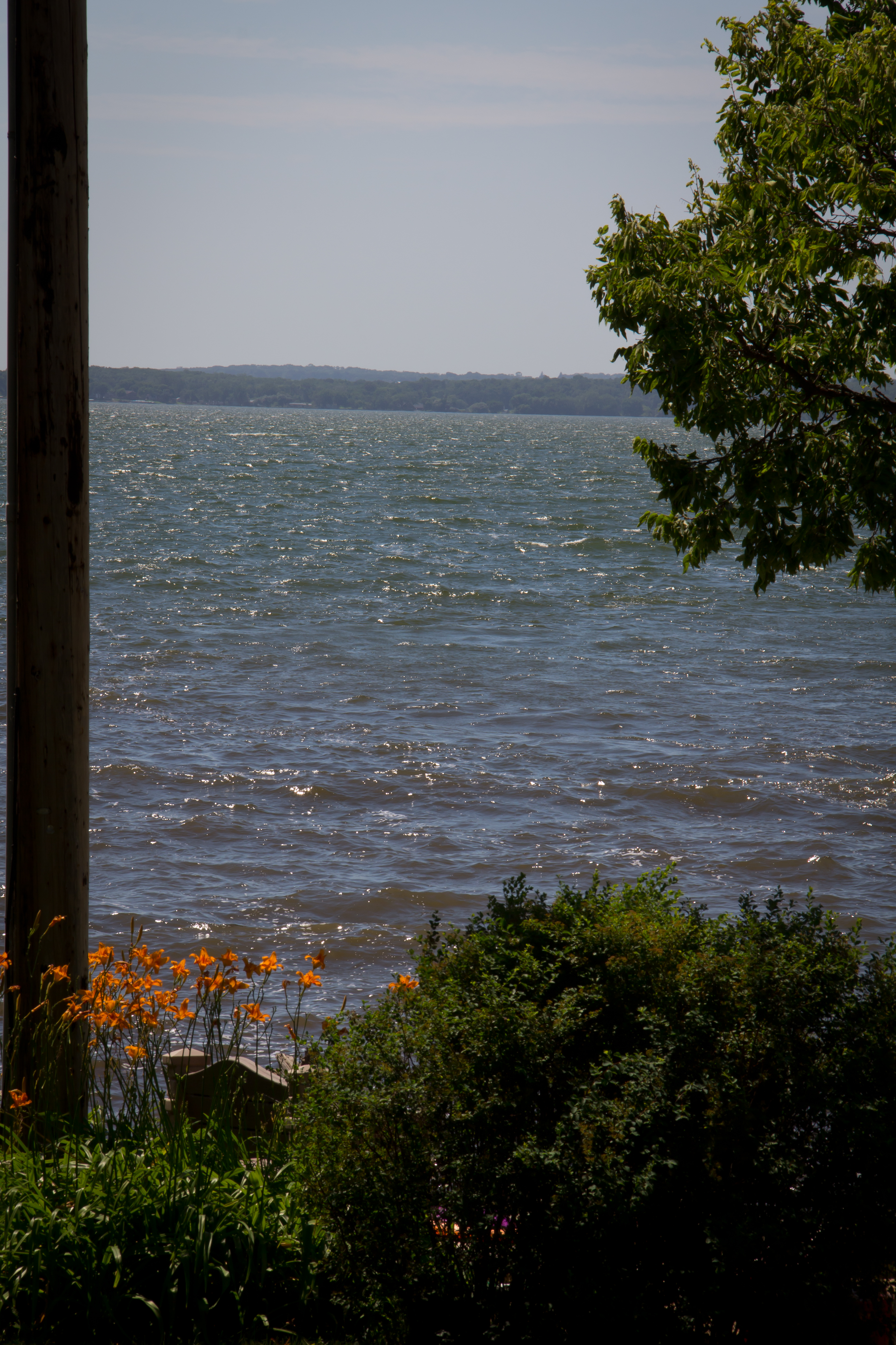
By the Lake
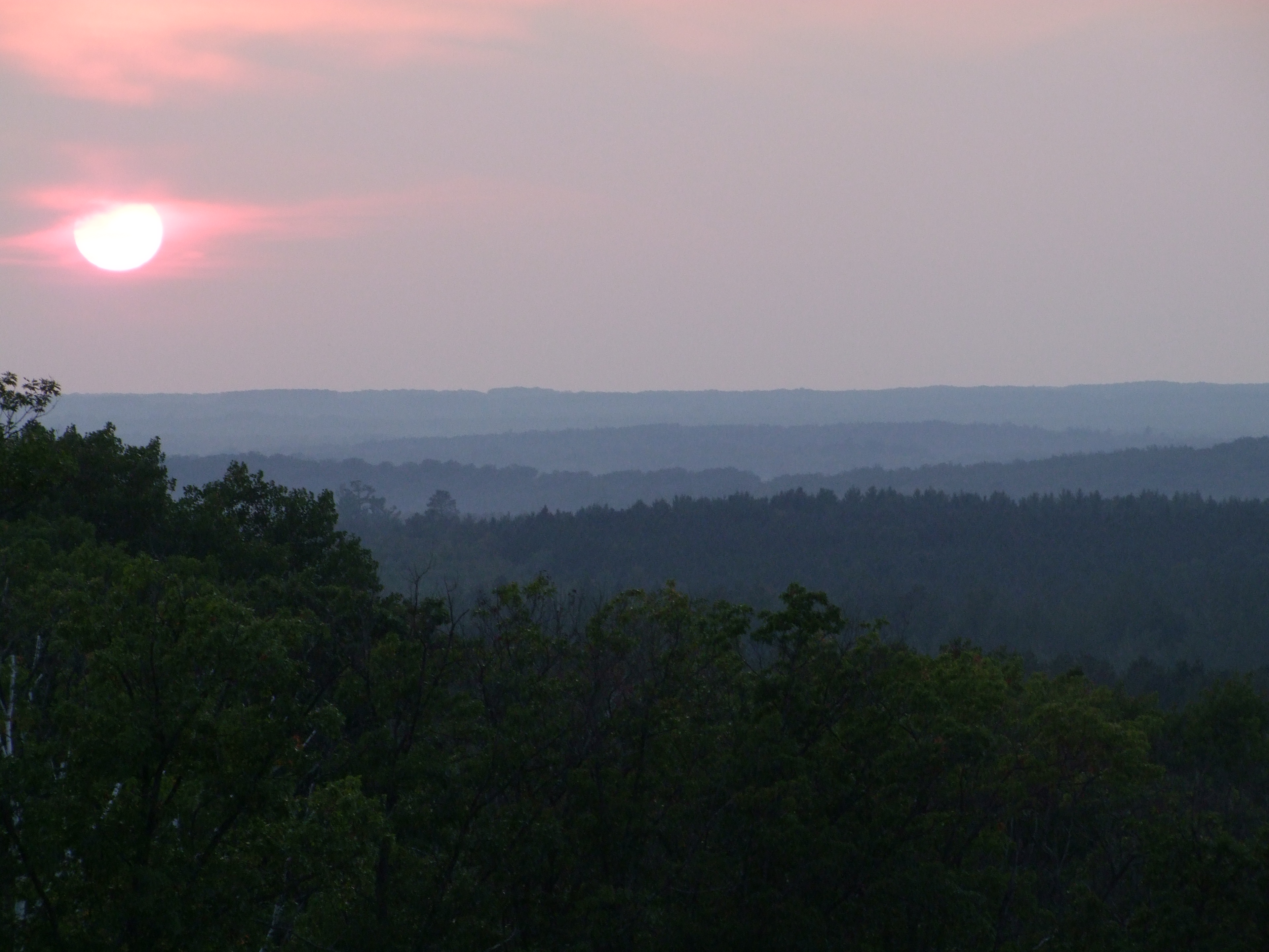
Minnesota Highlands
Barsness Park Restoration
Topographic Map of Villard, MN, USA
Find elevation by address:

Places near Villard, MN, USA:
4th St SE, Alexandria, MN, USA
Forada
13 Minnesota Ave E, Glenwood, MN, USA
Glenwood
S Grove Lake Dr, Glenwood, MN, USA
South Nokomis
Waterfowl Drive Southwest
14 E Nokomis St, Osakis, MN, USA
Unumb Street, Alexandria, MN, USA
2702 3rd Ave E
Douglas Street
Alexandria
Lake Mary Township
23755 235th St
Pope County
2265 Majestic Ln Nw
Florence Ave, Lowry, MN, USA
Lowry
Douglas County
Barsness Township
Recent Searches:
- Elevation of Corso Fratelli Cairoli, 35, Macerata MC, Italy
- Elevation of Tallevast Rd, Sarasota, FL, USA
- Elevation of 4th St E, Sonoma, CA, USA
- Elevation of Black Hollow Rd, Pennsdale, PA, USA
- Elevation of Oakland Ave, Williamsport, PA, USA
- Elevation of Pedrógão Grande, Portugal
- Elevation of Klee Dr, Martinsburg, WV, USA
- Elevation of Via Roma, Pieranica CR, Italy
- Elevation of Tavkvetili Mountain, Georgia
- Elevation of Hartfords Bluff Cir, Mt Pleasant, SC, USA