Elevation of Villahermosa - Chetumal, Ucum, Q.R., Mexico
Location: Mexico > Quintana Roo > Ucum >
Longitude: -88.753771
Latitude: 18.4850501
Elevation: 64m / 210feet
Barometric Pressure: 101KPa
Elevation Map:
Satellite Map:
Related Photos:
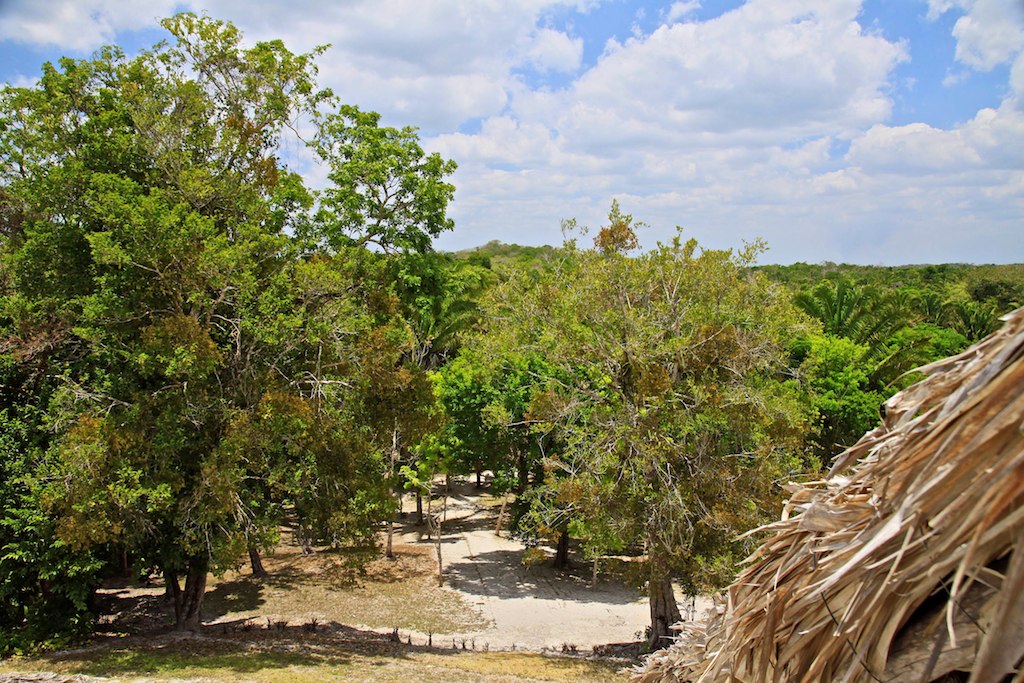
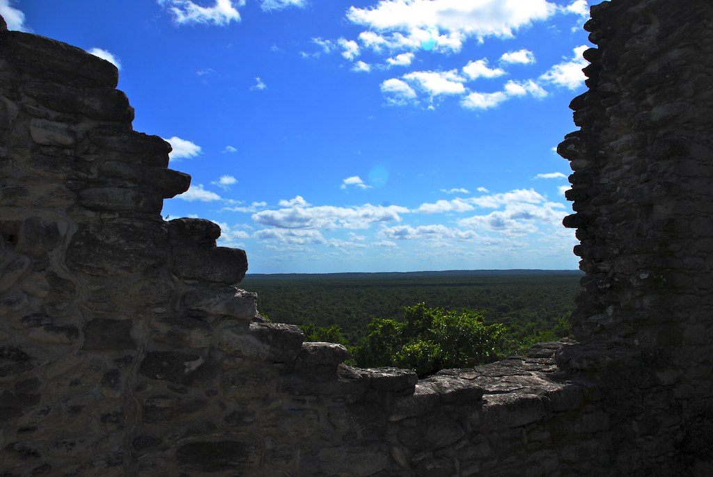
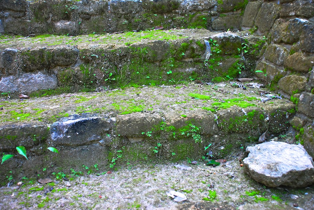
56 I0337R View from the top
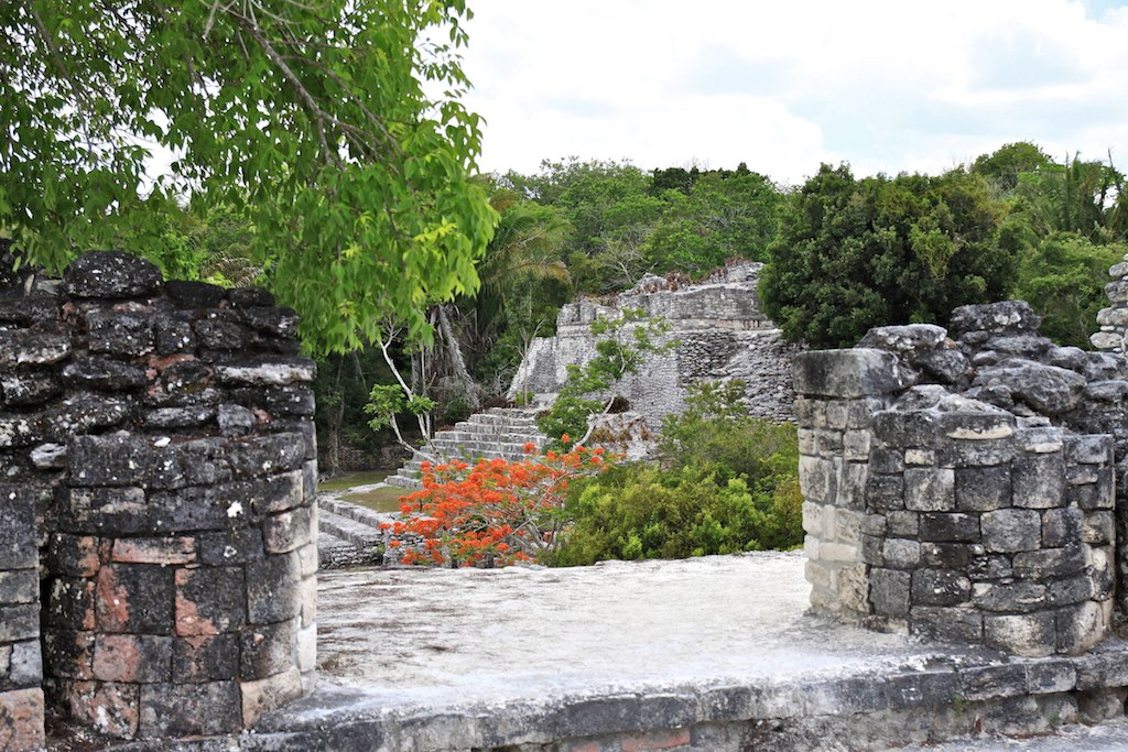
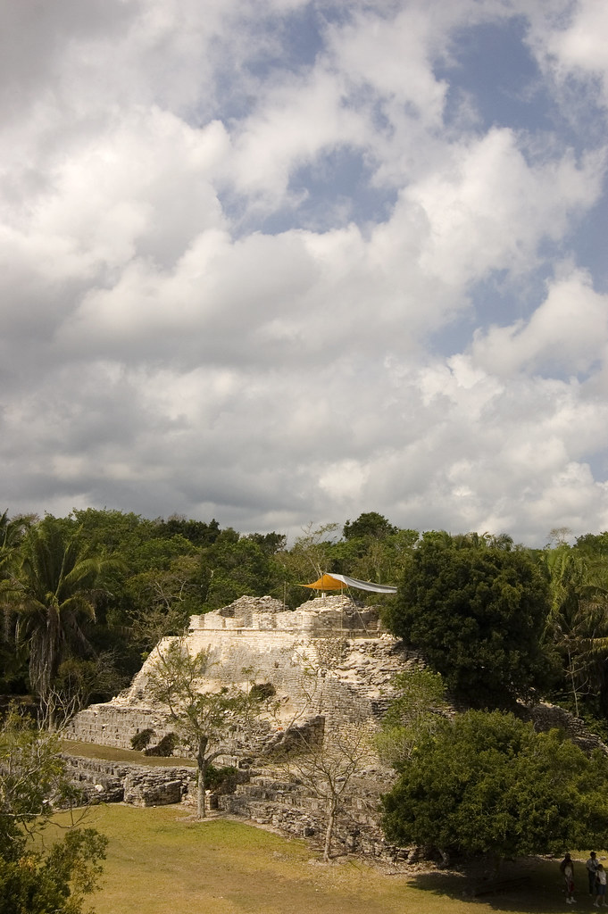
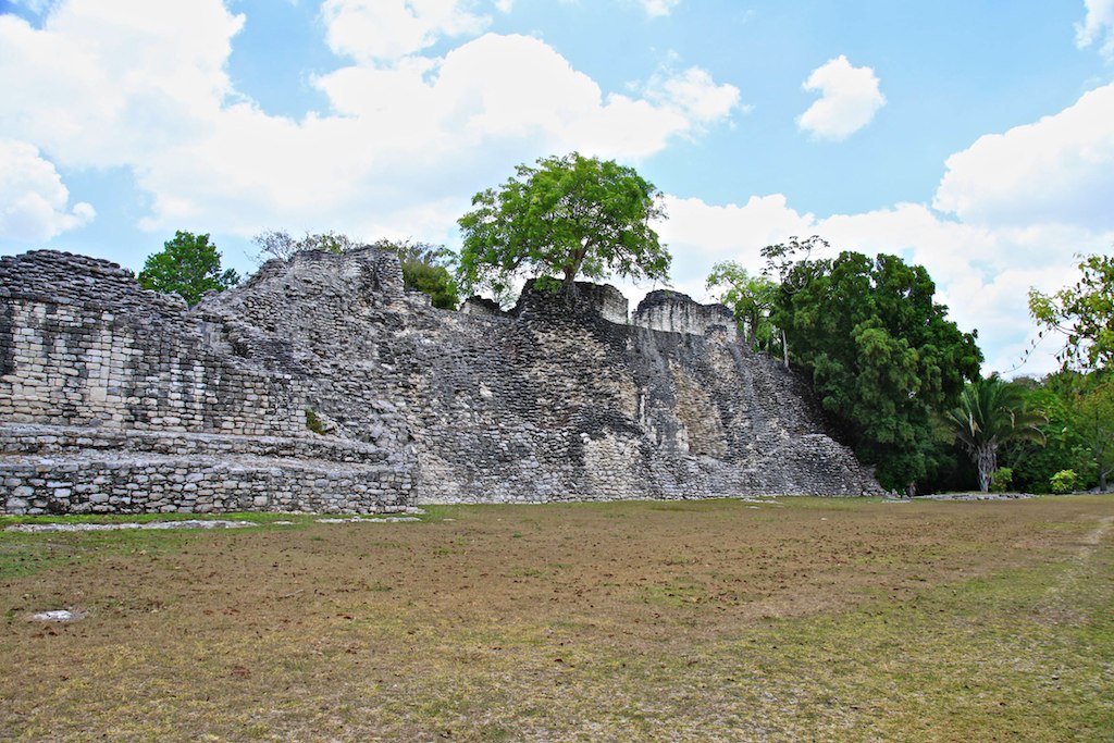
32 I0386R View from the Acropolis towards The King
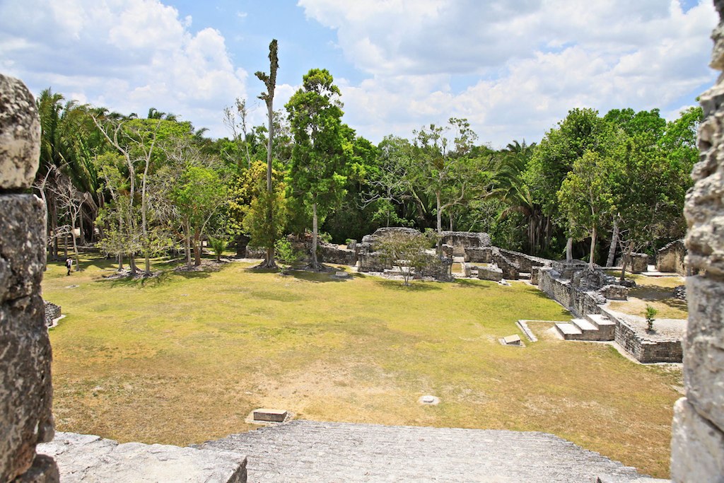
29 I0395R View towards Residential Area
Mayan Ruins 031
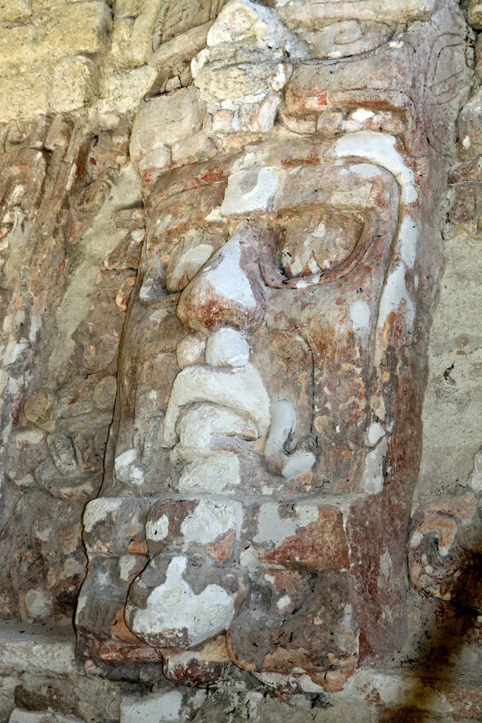
53 I0333R Mask
Mayan Site
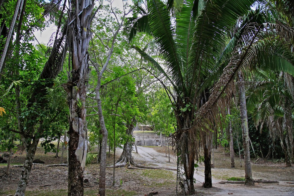
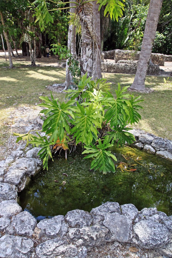
39 I0323R Jungle path
Mayan Ruins 020
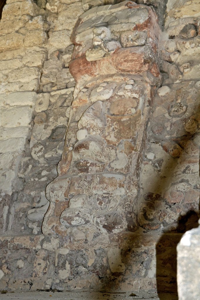
54 I0334R Mask
43b I0403R
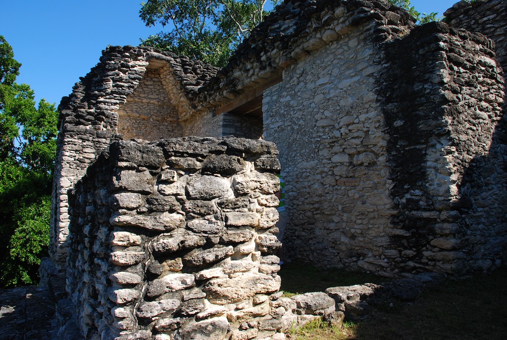
17 I0313R South wall of the Acropolis
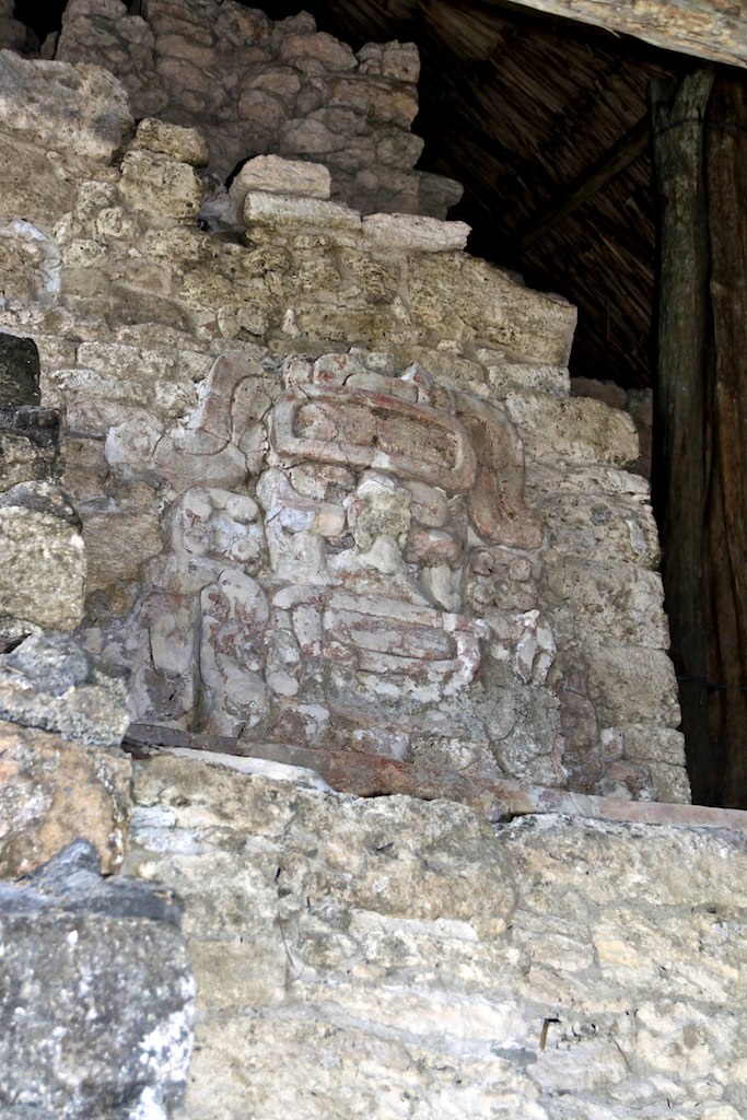
58 I0338R Ahau Kin
Mayan Ruins 027

Kohunlich Mayan Ruins, Yucatan, Mexico
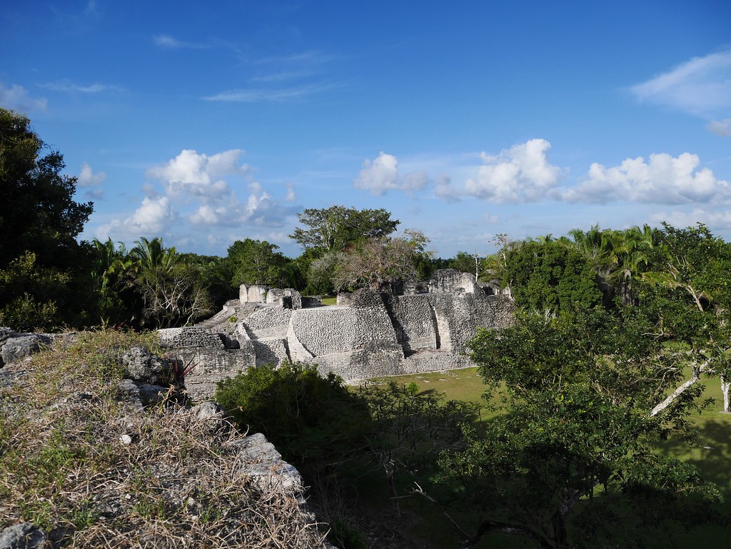
Looking towards Acropolis
Topographic Map of Villahermosa - Chetumal, Ucum, Q.R., Mexico
Find elevation by address:

Places near Villahermosa - Chetumal, Ucum, Q.R., Mexico:
Kohunlich
Chetumal - Villahermosa, Quintana Roo, Mexico
Dzibanché
Quintana Roo Francisco Villa-Graciano Sánchez 46, Dzibanché, Q.R., Mexico
Altos De Sevilla
Quintana Roo Francisco Villa-Graciano Sánchez, Bacalar, Q.R., Mexico
Bacalar Municipality
Quintana Roo Francisco Villa-Graciano Sánchez, Quintana Roo, Mexico
Yucatan Peninsula
Calakmul
Recent Searches:
- Elevation of Corso Fratelli Cairoli, 35, Macerata MC, Italy
- Elevation of Tallevast Rd, Sarasota, FL, USA
- Elevation of 4th St E, Sonoma, CA, USA
- Elevation of Black Hollow Rd, Pennsdale, PA, USA
- Elevation of Oakland Ave, Williamsport, PA, USA
- Elevation of Pedrógão Grande, Portugal
- Elevation of Klee Dr, Martinsburg, WV, USA
- Elevation of Via Roma, Pieranica CR, Italy
- Elevation of Tavkvetili Mountain, Georgia
- Elevation of Hartfords Bluff Cir, Mt Pleasant, SC, USA