Elevation of Vigo County, IN, USA
Location: United States > Indiana >
Longitude: -87.420751
Latitude: 39.4165382
Elevation: 148m / 486feet
Barometric Pressure: 100KPa
Elevation Map:
Satellite Map:
Related Photos:
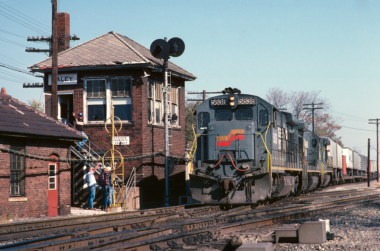
The classic Haley view

The Aviator

Rail Car Graffiti

The view from ... ?

Union Station, Terre Haute, Indiana
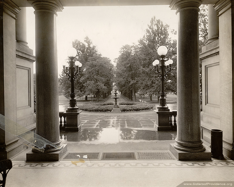
Avenue and fountain - view from Foley
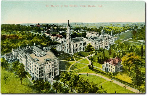
St. Mary-of-the-Woods, Terre Haute, Indiana
An XL (lent!) Chase Part 18

Franey General Council, 1948-1953

Haley Tower, Terre Haute - B&W
My view, right now. In bed. :-)

1940 Henney Packard Hearse
1940 Henney Packard Hearse

The Rails' Rails

119/365
this way

Canadian Pacific Springhill Tower, Terre Haute, Indiana

CSX 757 - HDR
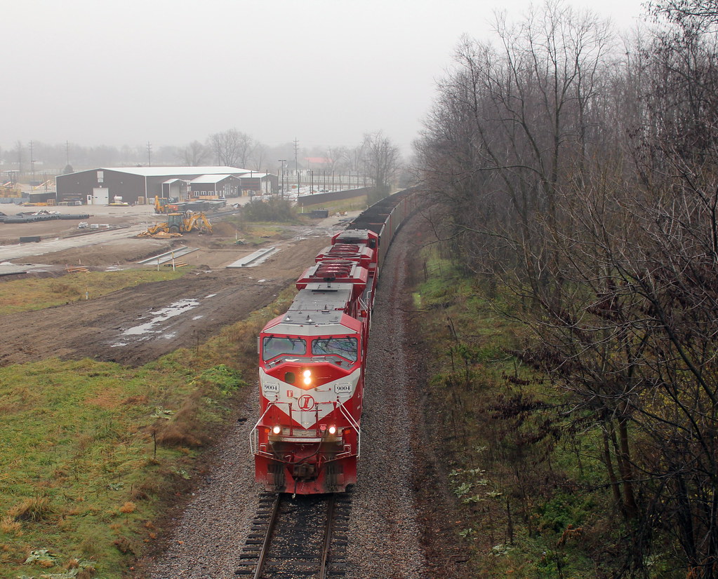
TBER 100 at Lost Creek
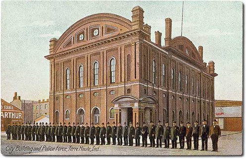
City Building and police force, Terre Haute, Indiana
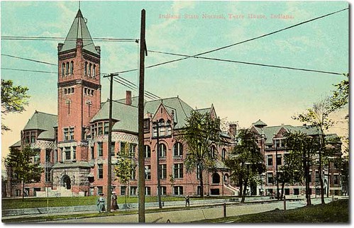
Indiana State Normal, Terre Haute, Indiana

Double Barn

Water in the Clouds

Early spring sunset on the wabash river -photography by jamie s grimes
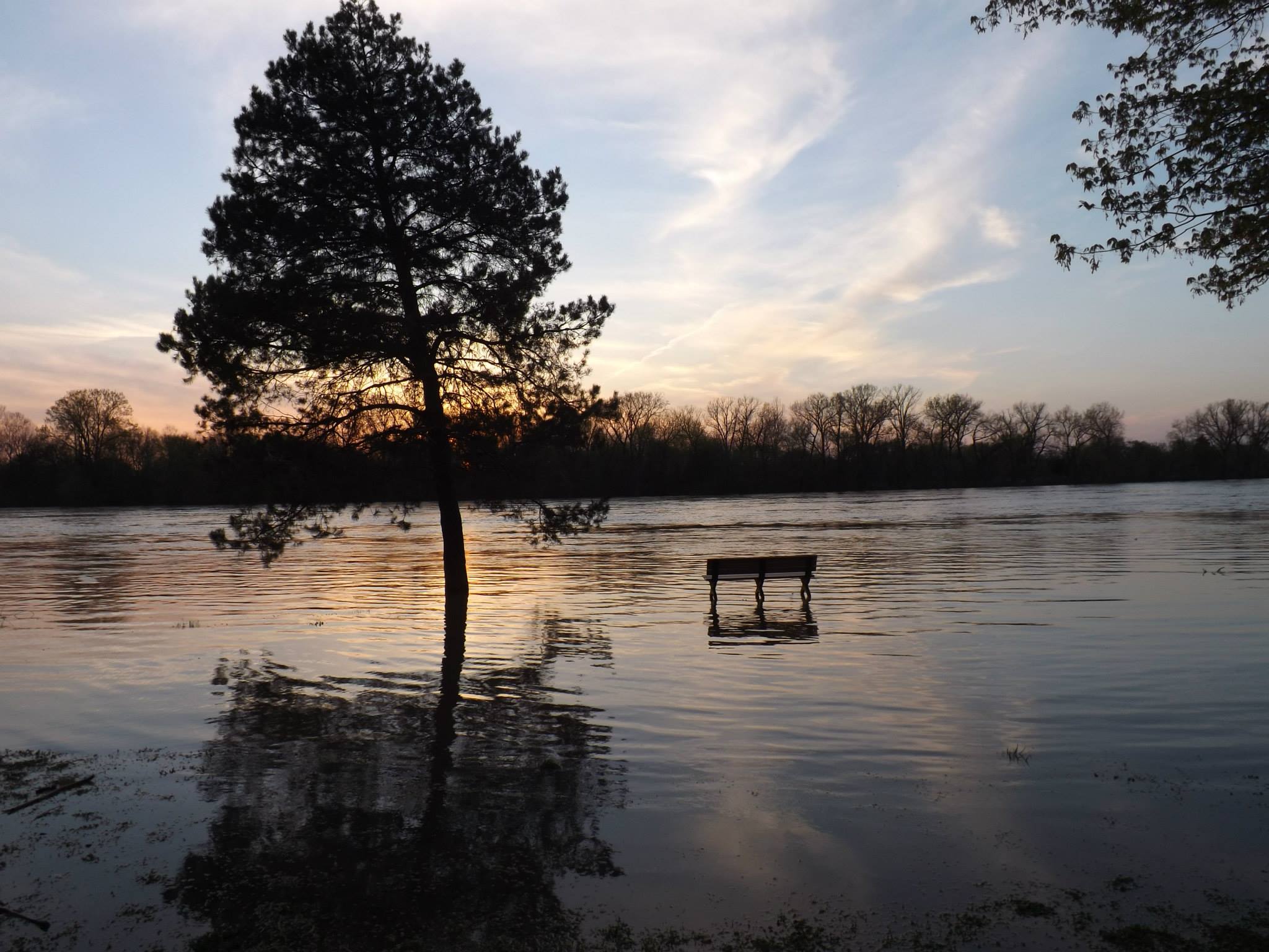
sunset on the flooded wabash river in terre haute indiana -by jamie s grimes
jamie s grimes folder 392
White Violet Farm Alpacas

Cattails in the morning

early mornin light on the cornfield
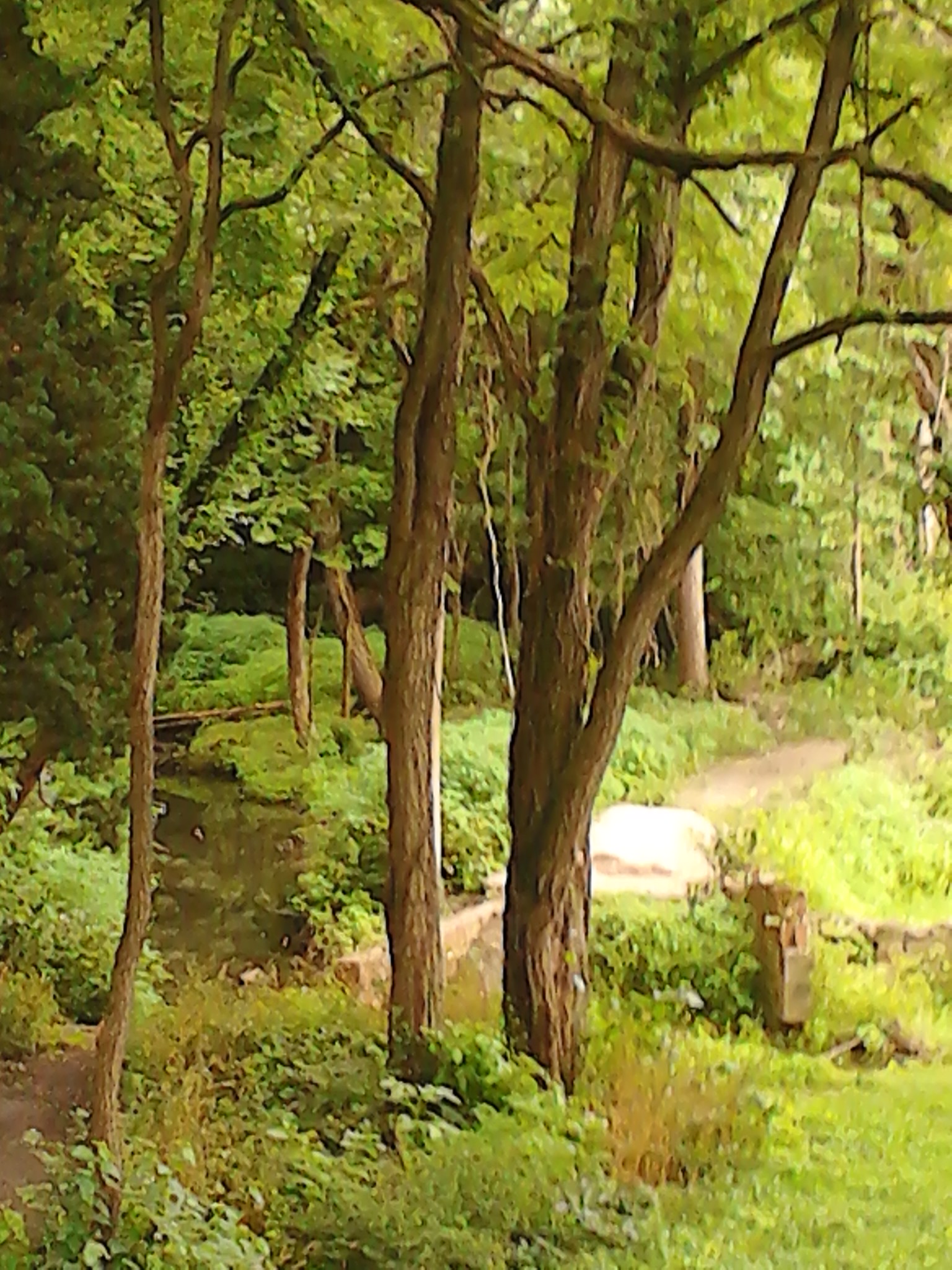
The pathway by the water.
grasping the waning moments of the day
Otter Creek
The pathway by the water 2
keep going

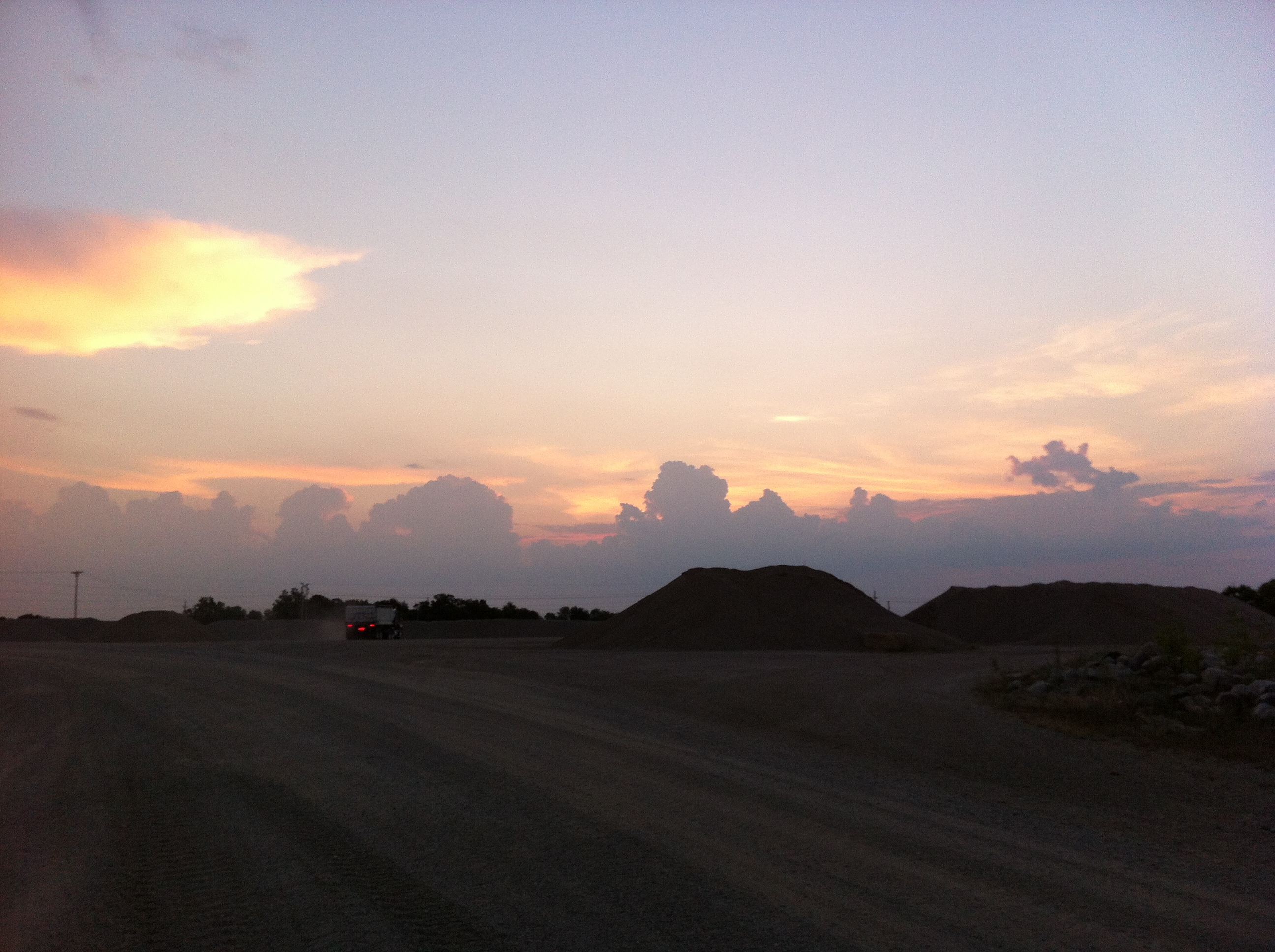
A Terre Haute Sunset
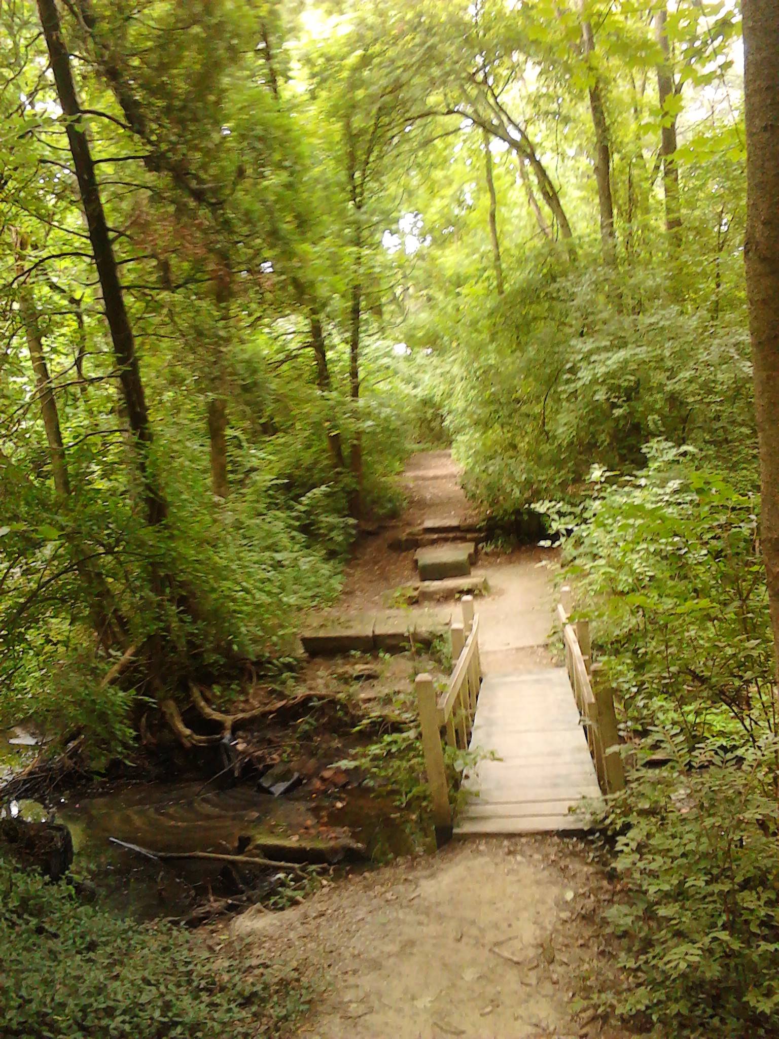
A little wooden bridge across a wooded stream
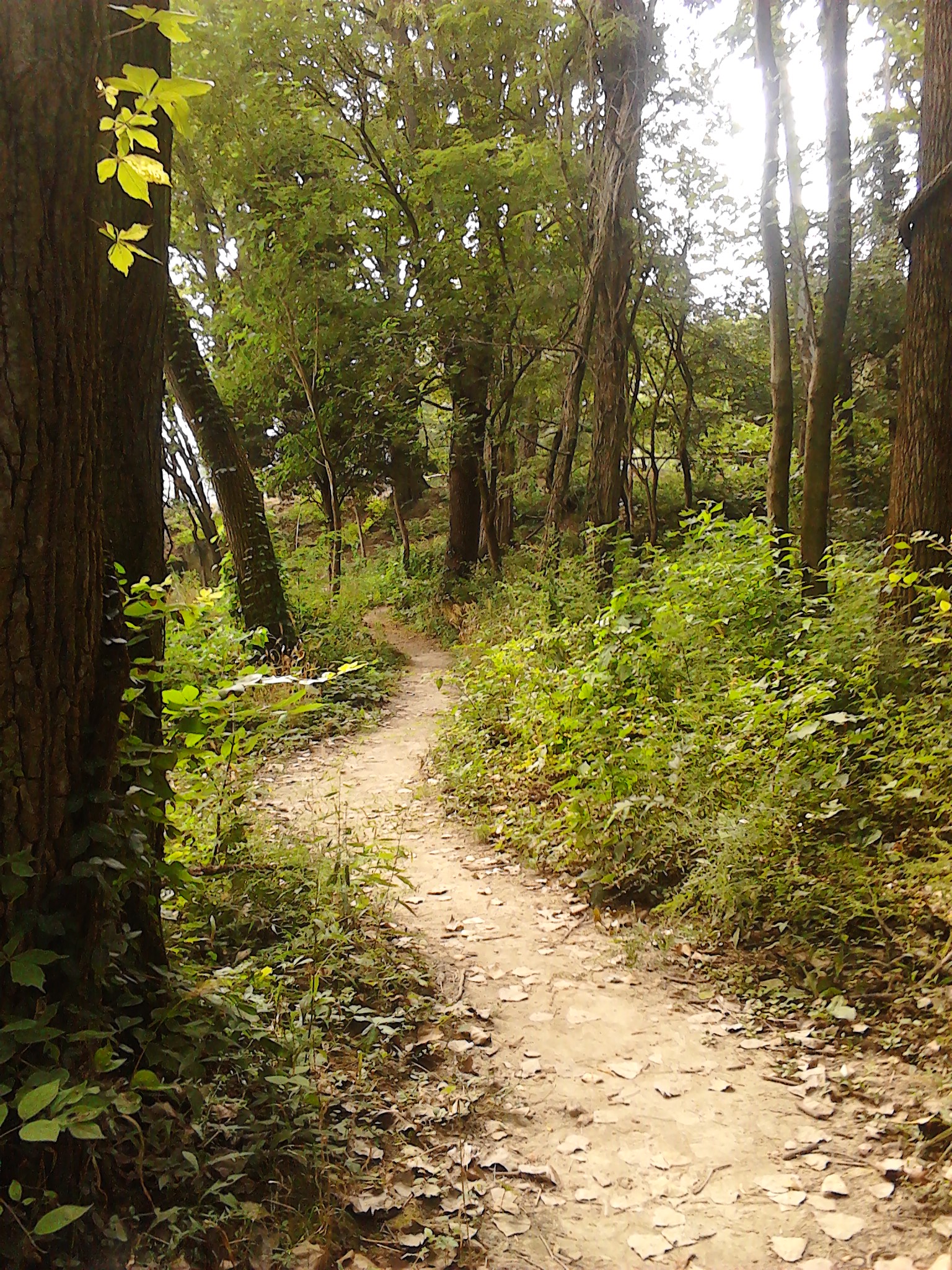
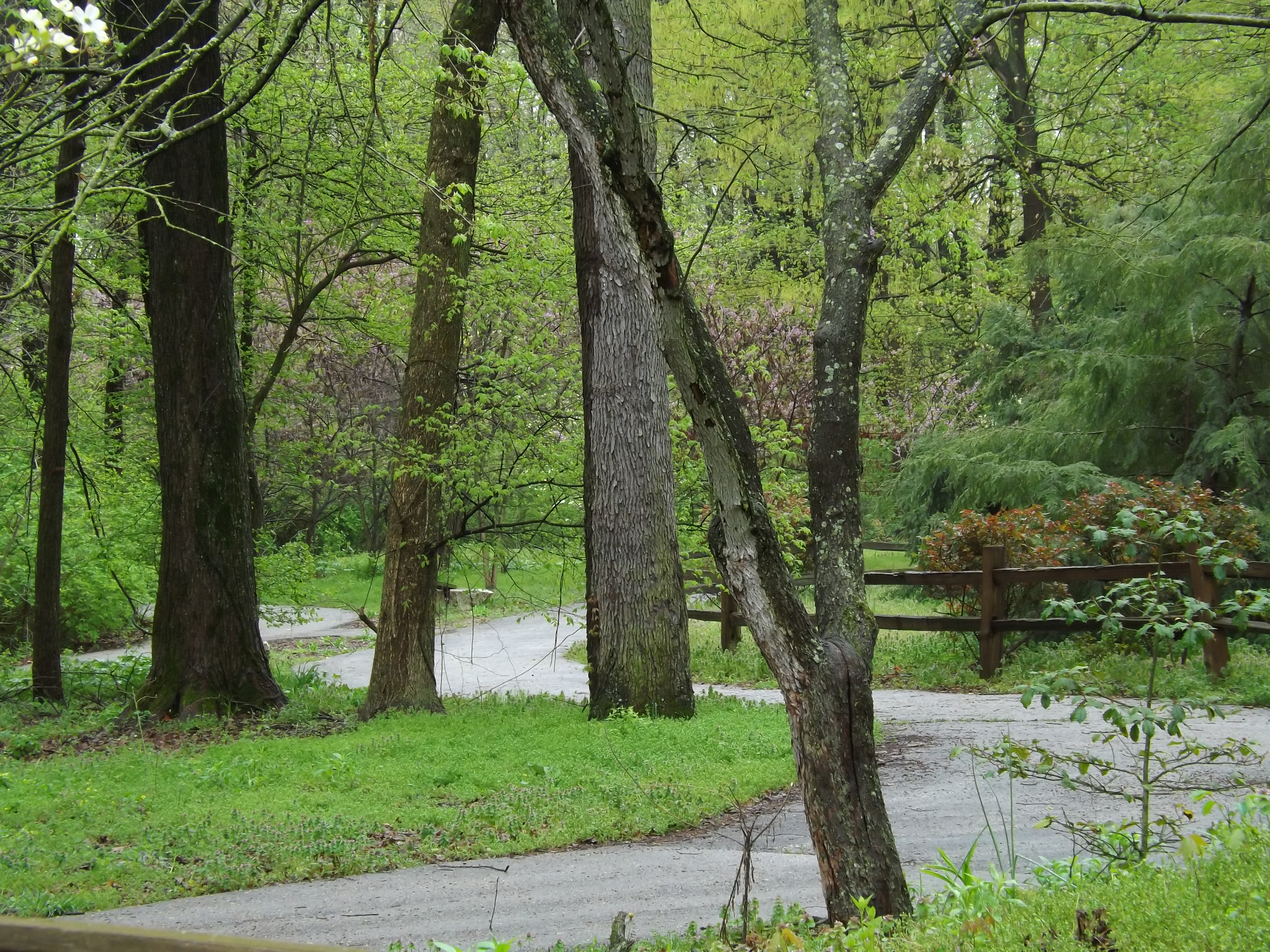
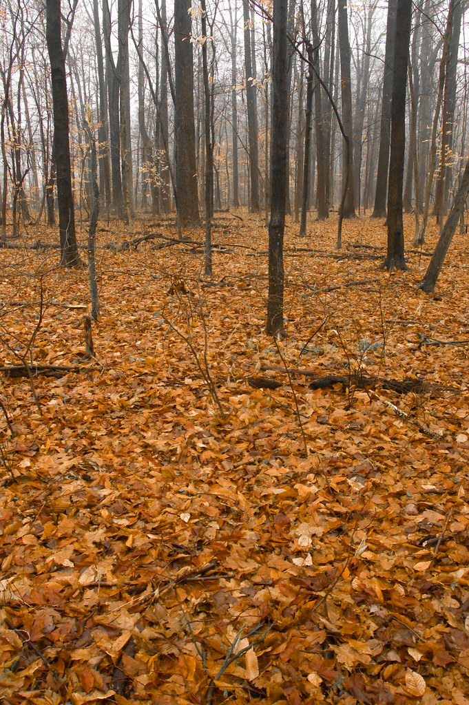
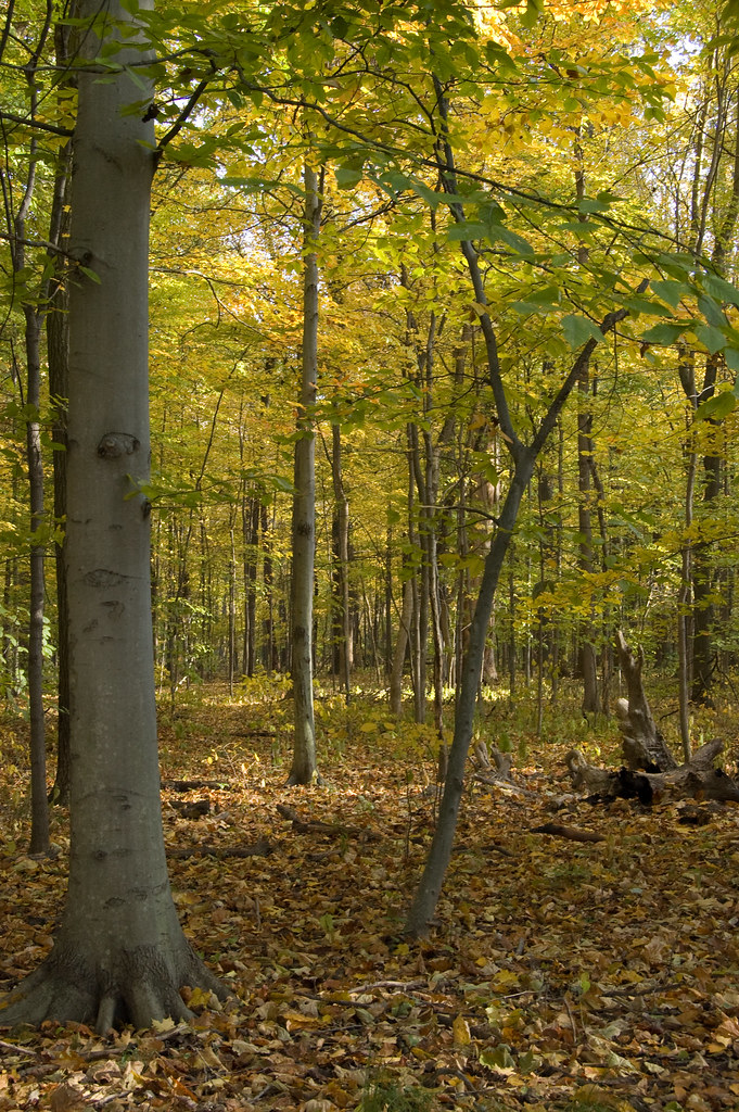
A day for a walk on a wooded path
2012-07-25 06.41.47
where do we go from here?

jamie s grimes folder 2 nature shots 004
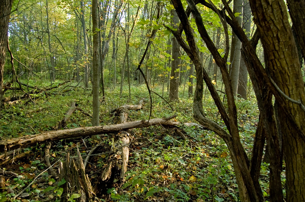
el bosque
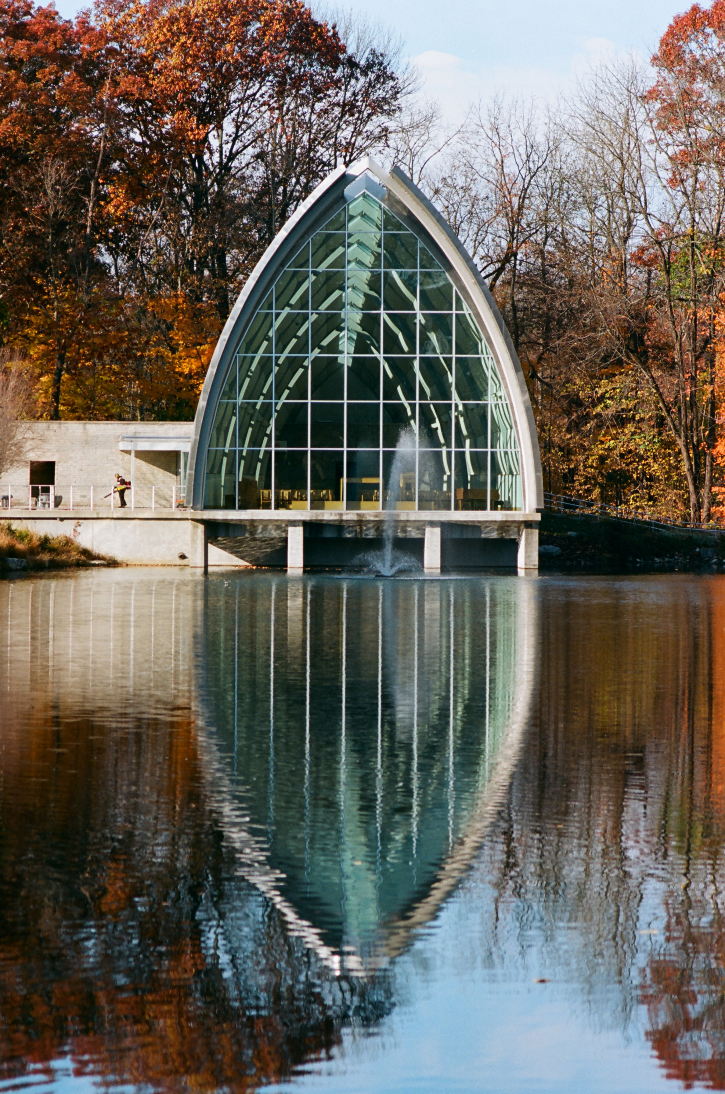
White Chapel
Topographic Map of Vigo County, IN, USA
Find elevation by address:

Places in Vigo County, IN, USA:
Harrison Township
Fayette Township
Sugar Creek Township
Otter Creek Township
Honey Creek Township
Lost Creek Township
N Eppert St, Brazil, IN, USA
Places near Vigo County, IN, USA:
East Halt Drive
S 12th St, Terre Haute, IN, USA
Honey Creek Township
6643 W Manor Dr
5 E Cresthill Dr, Terre Haute, IN, USA
Terre Haute
Indiana State University
West Terre Haute
Harrison Township
Toad Hop
1000 N 1st St
1840 N 9th St
1840 N 9th St
23 Nitsche Dr, Terre Haute, IN, USA
Collett Park
N 23rd St, Terre Haute, IN, USA
Antioch Circle North
4301 Old Paris Rd
Sugar Creek Township
17 W Lawrin Blvd
Recent Searches:
- Elevation of Corso Fratelli Cairoli, 35, Macerata MC, Italy
- Elevation of Tallevast Rd, Sarasota, FL, USA
- Elevation of 4th St E, Sonoma, CA, USA
- Elevation of Black Hollow Rd, Pennsdale, PA, USA
- Elevation of Oakland Ave, Williamsport, PA, USA
- Elevation of Pedrógão Grande, Portugal
- Elevation of Klee Dr, Martinsburg, WV, USA
- Elevation of Via Roma, Pieranica CR, Italy
- Elevation of Tavkvetili Mountain, Georgia
- Elevation of Hartfords Bluff Cir, Mt Pleasant, SC, USA