Elevation of Vierge de Niaux, Niaux, France
Location: France > Ariege > Niaux >
Longitude: 1.5907094
Latitude: 42.8140822
Elevation: 546m / 1791feet
Barometric Pressure: 95KPa
Elevation Map:
Satellite Map:
Related Photos:
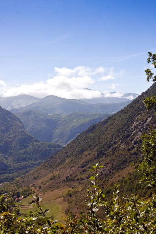
Above Arnave
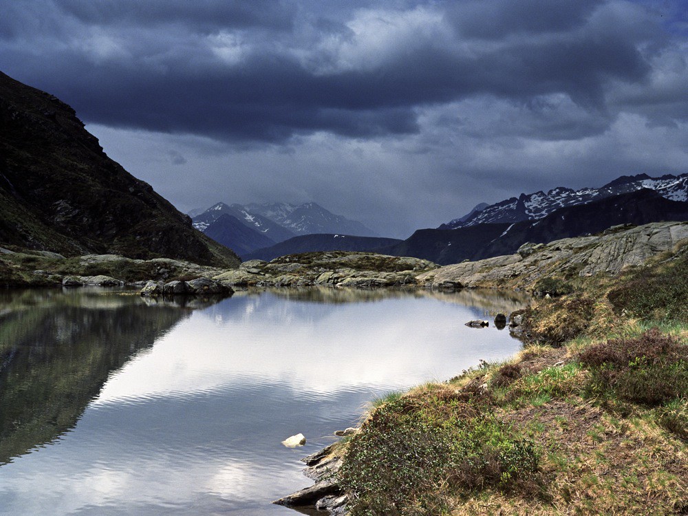
Etang d'Arbu 1992
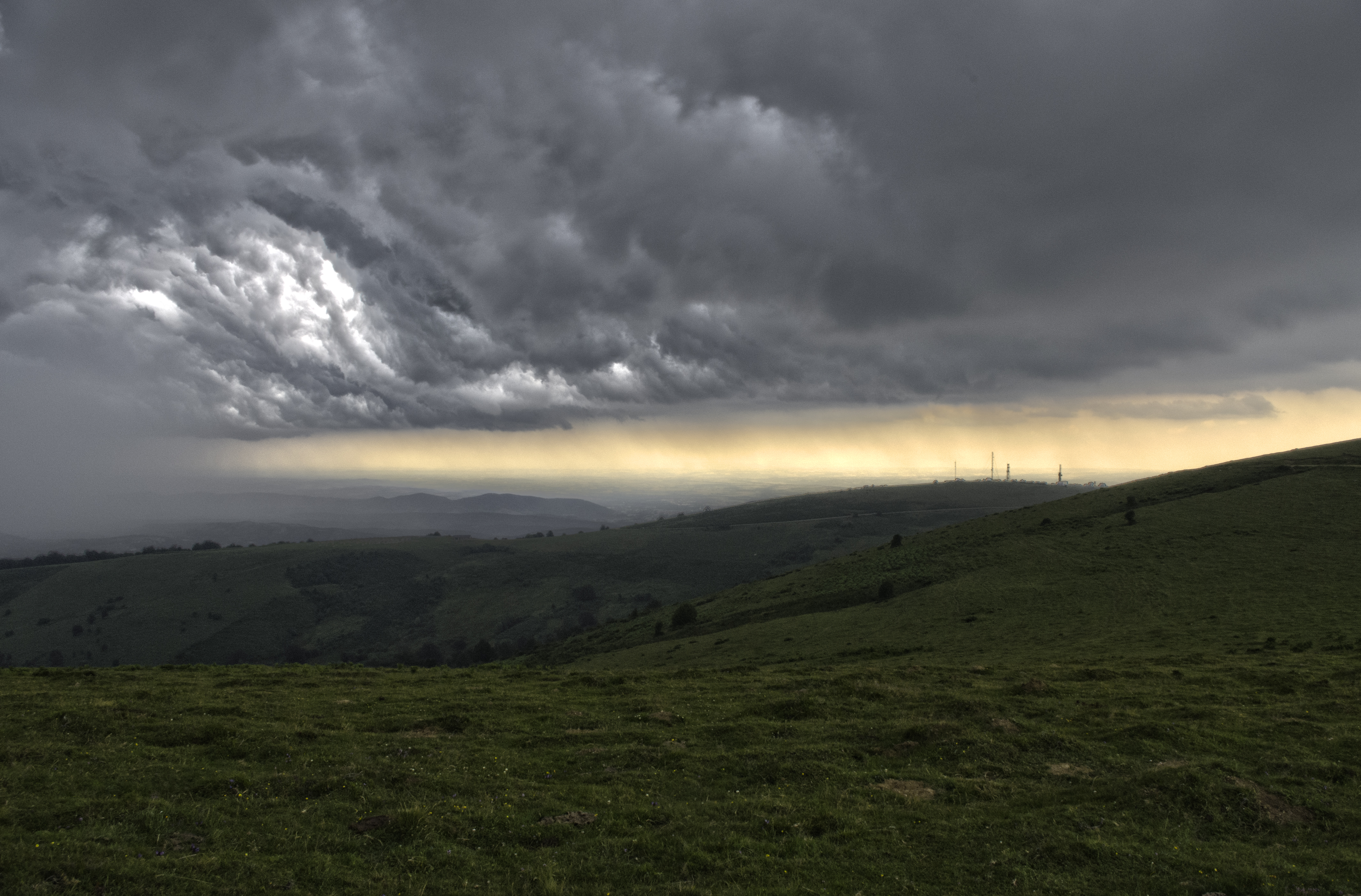
Before the storm
Etang d'Arbu 1992
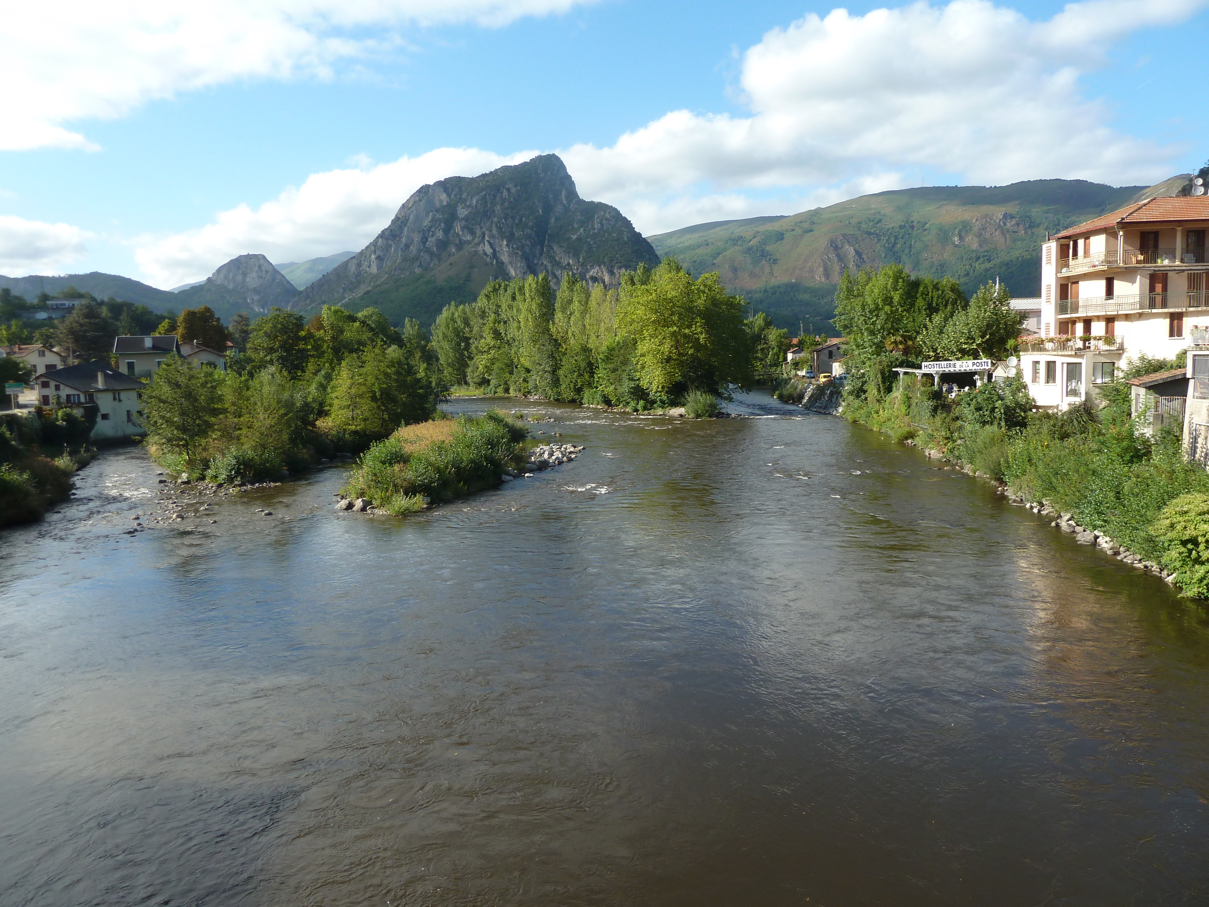
View of Ariege river in Tarascon
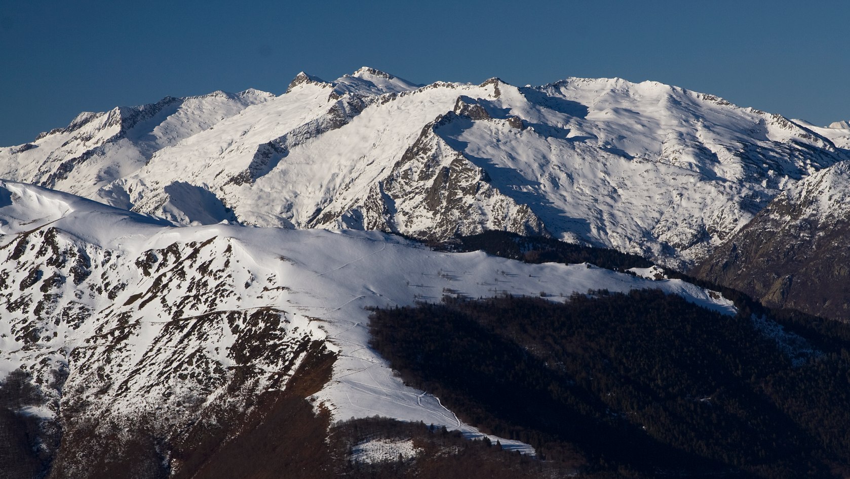
Winter Pyrénées view

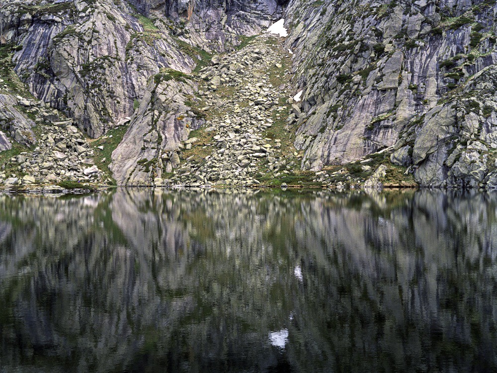
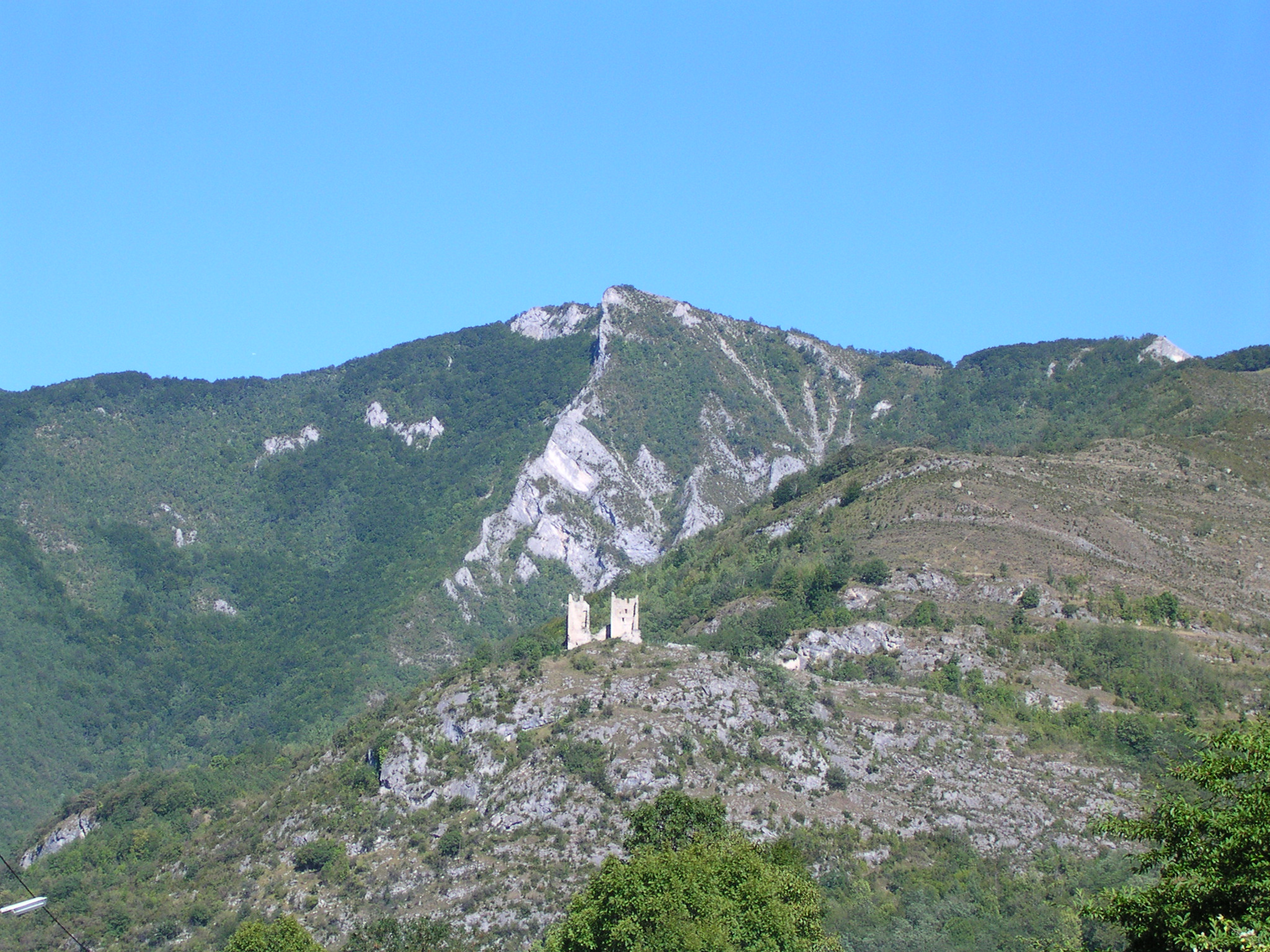
View from the crag

View from the crag
DSCN2185.JPG

DSCN2178.JPG
Topographic Map of Vierge de Niaux, Niaux, France
Find elevation by address:

Places near Vierge de Niaux, Niaux, France:
Niaux
Capoulet-et-junac
Tarascon-sur-ariège
Siguer
Rue Piétonnière, Siguer, France
Auzat
7 Chemin Vieux, Foix, France
Foix
Ariege
9 Unac Village, Unac, France
Unac
Bestiac
Caussou
Ordino
Canillo
Pic De Montcalm
Montcalm Massif
Ransol
Soldeu
La Cortinada
Recent Searches:
- Elevation of Corso Fratelli Cairoli, 35, Macerata MC, Italy
- Elevation of Tallevast Rd, Sarasota, FL, USA
- Elevation of 4th St E, Sonoma, CA, USA
- Elevation of Black Hollow Rd, Pennsdale, PA, USA
- Elevation of Oakland Ave, Williamsport, PA, USA
- Elevation of Pedrógão Grande, Portugal
- Elevation of Klee Dr, Martinsburg, WV, USA
- Elevation of Via Roma, Pieranica CR, Italy
- Elevation of Tavkvetili Mountain, Georgia
- Elevation of Hartfords Bluff Cir, Mt Pleasant, SC, USA