Elevation map of Vermilion River County No. 24, AB, Canada
Location: Canada > Alberta > Division No. 10 >
Longitude: -110.51681
Latitude: 53.4477555
Elevation: 599m / 1965feet
Barometric Pressure: 94KPa
Elevation Map:
Satellite Map:
Related Photos:
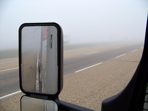
AB10e058 Highway 16 Fog Patches, Alberta 2010

Sympetrum internum
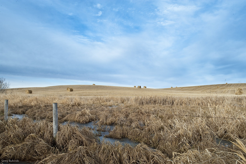
Wheat Field-1554

Marwayne Elevators
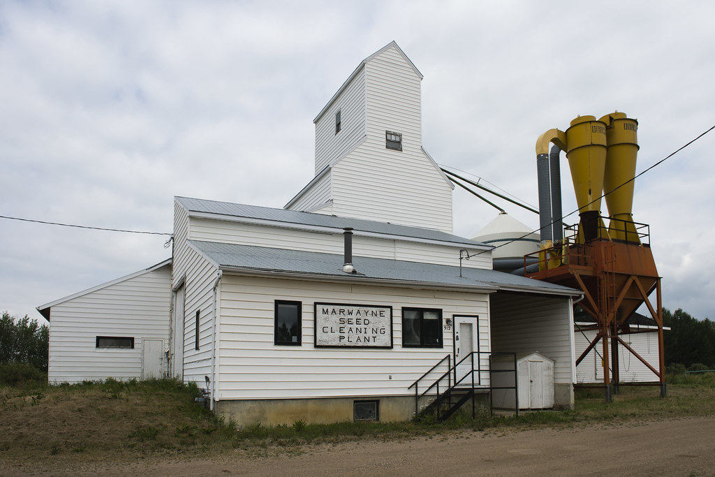
Marwayne Seed Cleaning Plant

A few feet more

Orange #2

Orange Flight #2 at Fall Fire
Topographic Map of Vermilion River County No. 24, AB, Canada
Find elevation by address:

Places in Vermilion River County No. 24, AB, Canada:
Places near Vermilion River County No. 24, AB, Canada:
Marwayne
AB-, Ardmore, AB T0A 0B0, Canada
Moose Lake
Ardmore
Canadian Forces Base Cold Lake
Timberline Drive
Elm Ct, Cold Lake, AB T9M 2C8, Canada
5310 44 St
T9m 2c6
Township Road 640
602 18 St
Cold Lake
Dakin Lake
Recent Searches:
- Elevation of Corso Fratelli Cairoli, 35, Macerata MC, Italy
- Elevation of Tallevast Rd, Sarasota, FL, USA
- Elevation of 4th St E, Sonoma, CA, USA
- Elevation of Black Hollow Rd, Pennsdale, PA, USA
- Elevation of Oakland Ave, Williamsport, PA, USA
- Elevation of Pedrógão Grande, Portugal
- Elevation of Klee Dr, Martinsburg, WV, USA
- Elevation of Via Roma, Pieranica CR, Italy
- Elevation of Tavkvetili Mountain, Georgia
- Elevation of Hartfords Bluff Cir, Mt Pleasant, SC, USA