Elevation of Verkhny Fiagdon, North Ossetia–Alania Republic, Russia
Location: Russia > North Ossetia–alania >
Longitude: 44.3071429
Latitude: 42.834689
Elevation: 1217m / 3993feet
Barometric Pressure: 88KPa
Elevation Map:
Satellite Map:
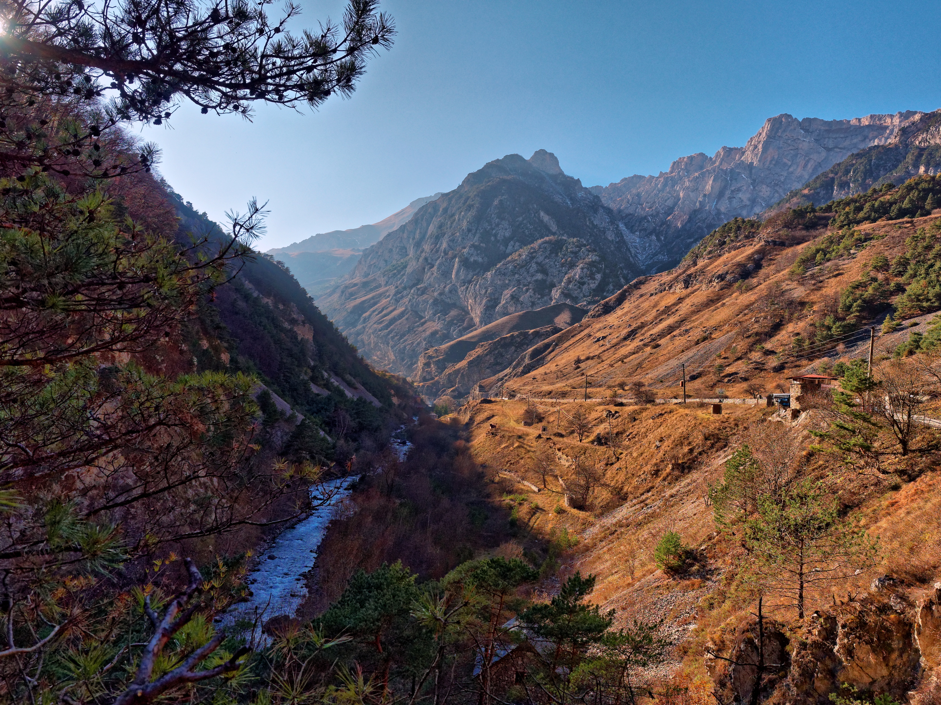
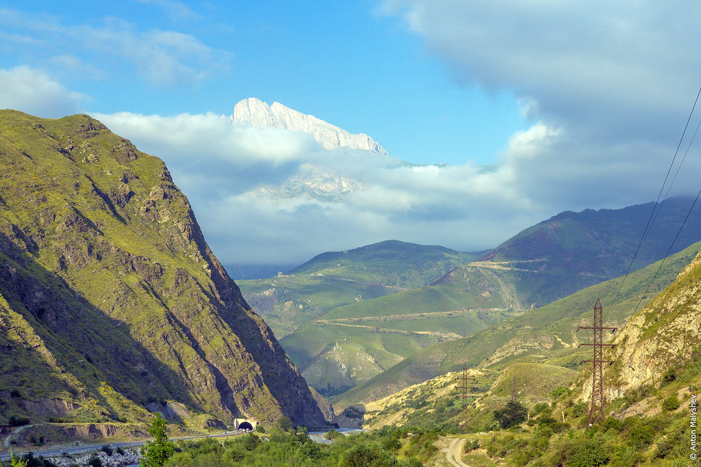
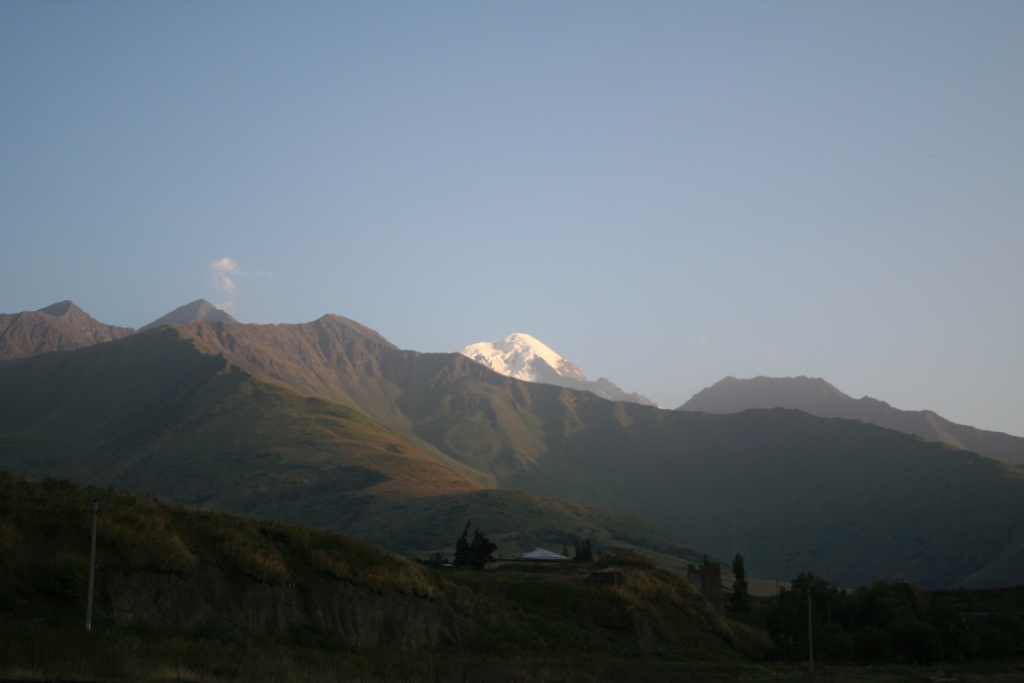
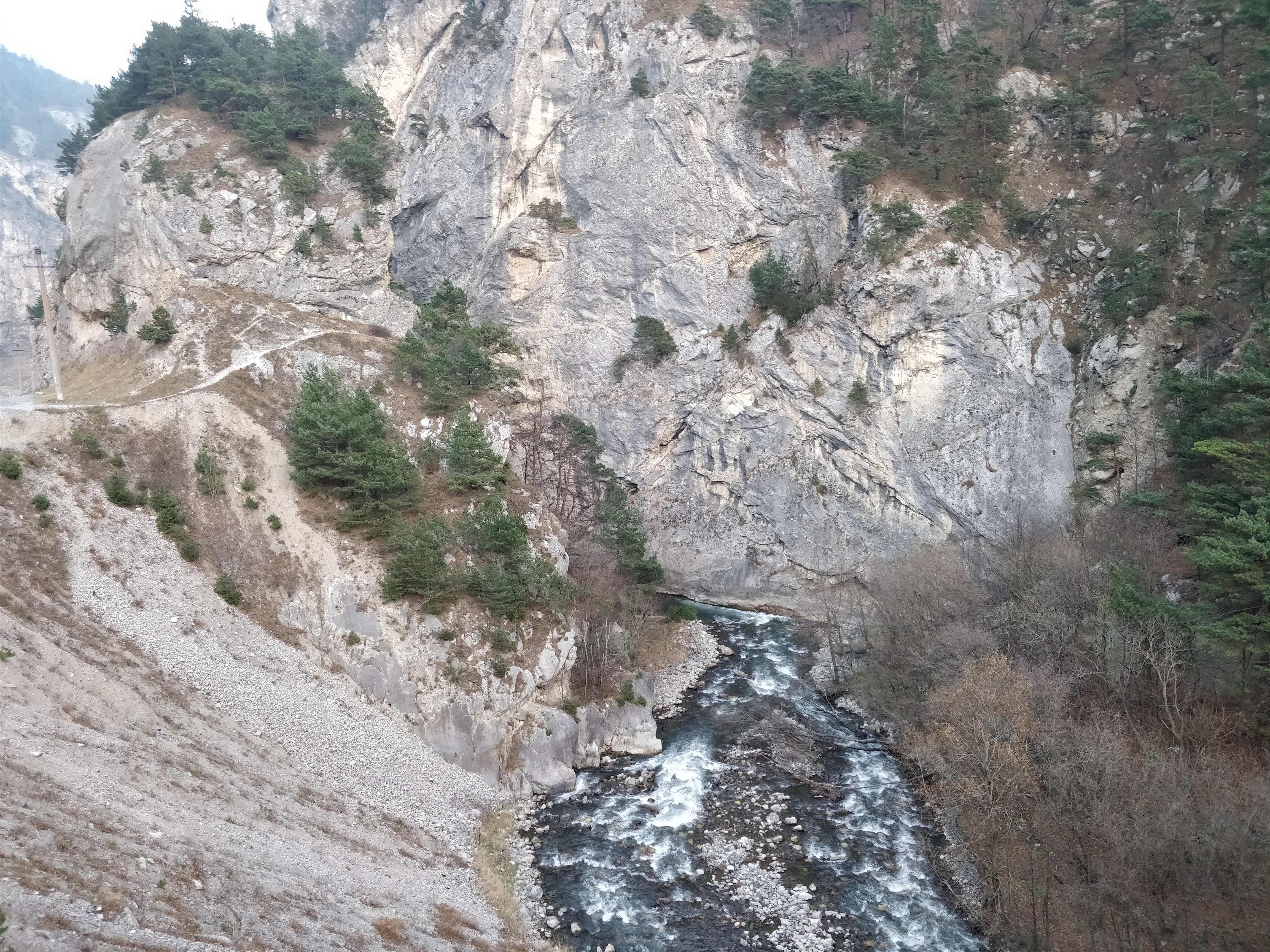
Related Photos:

Dargavs. View of the Koban gorge.

View from the Tbou Mount on village Lamardon

View from the Tbou Mount on village Lamardon

View from the Tbou Mount on village Lamardon
North Ossetia 7

North Ossetia 5
Алагирское ущелье / the Alagir gorge

"Городок мёртвых" / "Town of the dead"

горы-3
горы-1

IMG_6808 2

IMG_7007 2

IMG_6893 2

горы-7

горы-2

City of the Dead. Dargavs

City of the Dead. Dargavs

Small village

IMG_6833 3

IMG_6821 3
IMG_6837 3

IMG_6832 2

IMG_6840 2

IMG_6826 2
Topographic Map of Verkhny Fiagdon, North Ossetia–Alania Republic, Russia
Find elevation by address:

Places near Verkhny Fiagdon, North Ossetia–Alania Republic, Russia:
North Ossetia–alania
Unnamed Road
Mkinvartsveri
Mount Kazbek
Dariali Monastery Complex
Ukhati
Gergeti Trinity Church
Cross Pass
Hotel Gergeti
Stepantsminda
Wander Hotel Kazbegi
Rooms Hotel Kazbegi
Gudauri
Vladikavkaz
Beslan
Ganisi
Zemo Mleta
Mount Shani
Pravoberezhny District
Nagvarevi
Recent Searches:
- Elevation of Woodland Oak Pl, Thousand Oaks, CA, USA
- Elevation of Brownsdale Rd, Renfrew, PA, USA
- Elevation of Corcoran Ln, Suffolk, VA, USA
- Elevation of Mamala II, Sariaya, Quezon, Philippines
- Elevation of Sarangdanda, Nepal
- Elevation of 7 Waterfall Way, Tomball, TX, USA
- Elevation of SW 57th Ave, Portland, OR, USA
- Elevation of Crocker Dr, Vacaville, CA, USA
- Elevation of Pu Ngaol Community Meeting Hall, HWHM+3X7, Krong Saen Monourom, Cambodia
- Elevation of Royal Ontario Museum, Queens Park, Toronto, ON M5S 2C6, Canada