Elevation of Vascogil, Dgo., Mexico
Location: Mexico > Durango >
Longitude: -106.38027
Latitude: 24.8961111
Elevation: 1103m / 3619feet
Barometric Pressure: 89KPa
Elevation Map:
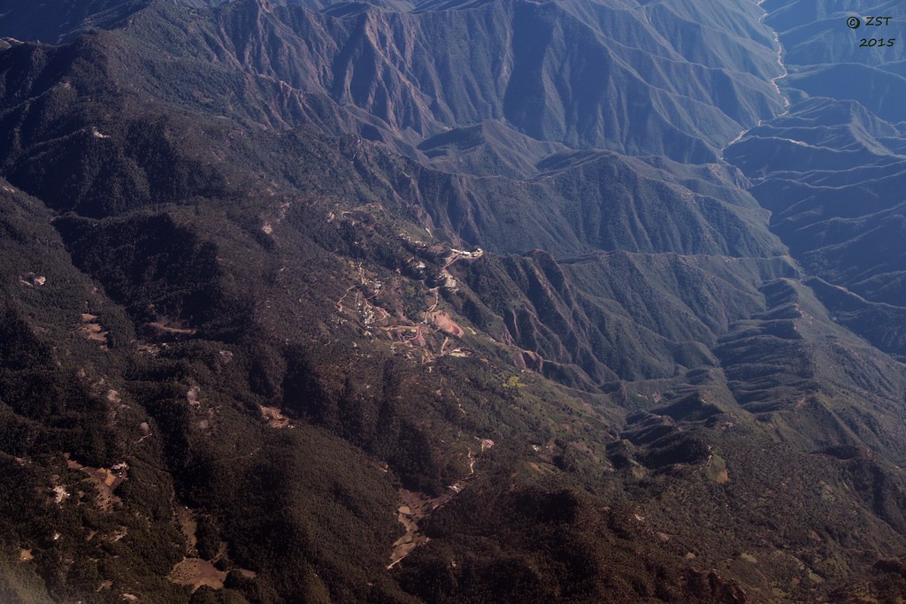
Satellite Map:
Related Photos:

Mountains Above Vasco Gil

Vasco Gil
San Miguel Papasquiaro
Topographic Map of Vascogil, Dgo., Mexico
Find elevation by address:

Places near Vascogil, Dgo., Mexico:
San Juan De Camarones
Canelas Municipality
Cosalá
Cosalá
Cosalá
Sn-s Restaurant
Guadalupe De Los Reyes
Federal Highway 15
Recent Searches:
- Elevation of Congressional Dr, Stevensville, MD, USA
- Elevation of Bellview Rd, McLean, VA, USA
- Elevation of Stage Island Rd, Chatham, MA, USA
- Elevation of Shibuya Scramble Crossing, 21 Udagawacho, Shibuya City, Tokyo -, Japan
- Elevation of Jadagoniai, Kaunas District Municipality, Lithuania
- Elevation of Pagonija rock, Kranto 7-oji g. 8"N, Kaunas, Lithuania
- Elevation of Co Rd 87, Jamestown, CO, USA
- Elevation of Tenjo, Cundinamarca, Colombia
- Elevation of Côte-des-Neiges, Montreal, QC H4A 3J6, Canada
- Elevation of Bobcat Dr, Helena, MT, USA