Elevation of Van Ness, Mariposa, CA, USA
Location: United States > California > Mariposa County > Mariposa >
Longitude: -119.89212
Latitude: 37.496325
Elevation: -10000m / -32808feet
Barometric Pressure: 295KPa
Elevation Map:
Satellite Map:
Related Photos:

Carstens Fire, Mariposa County, CA

Ominous Sky

Looking Up a Hillside of Trees and Grassy Meadows

Sortie de Route / Catheys Valley - Californie

Greens of Tree Leaves on the California Hillsides
St. Joseph's Church, Mariposa

I've been eyeing this bridge for the past year finding a good day to fly by it. Well I was able to take my drone to work and was finally able to do it. This is the William Sell Bridge and it was built in 1972. It overlooks a beautiful view of the Sierras,
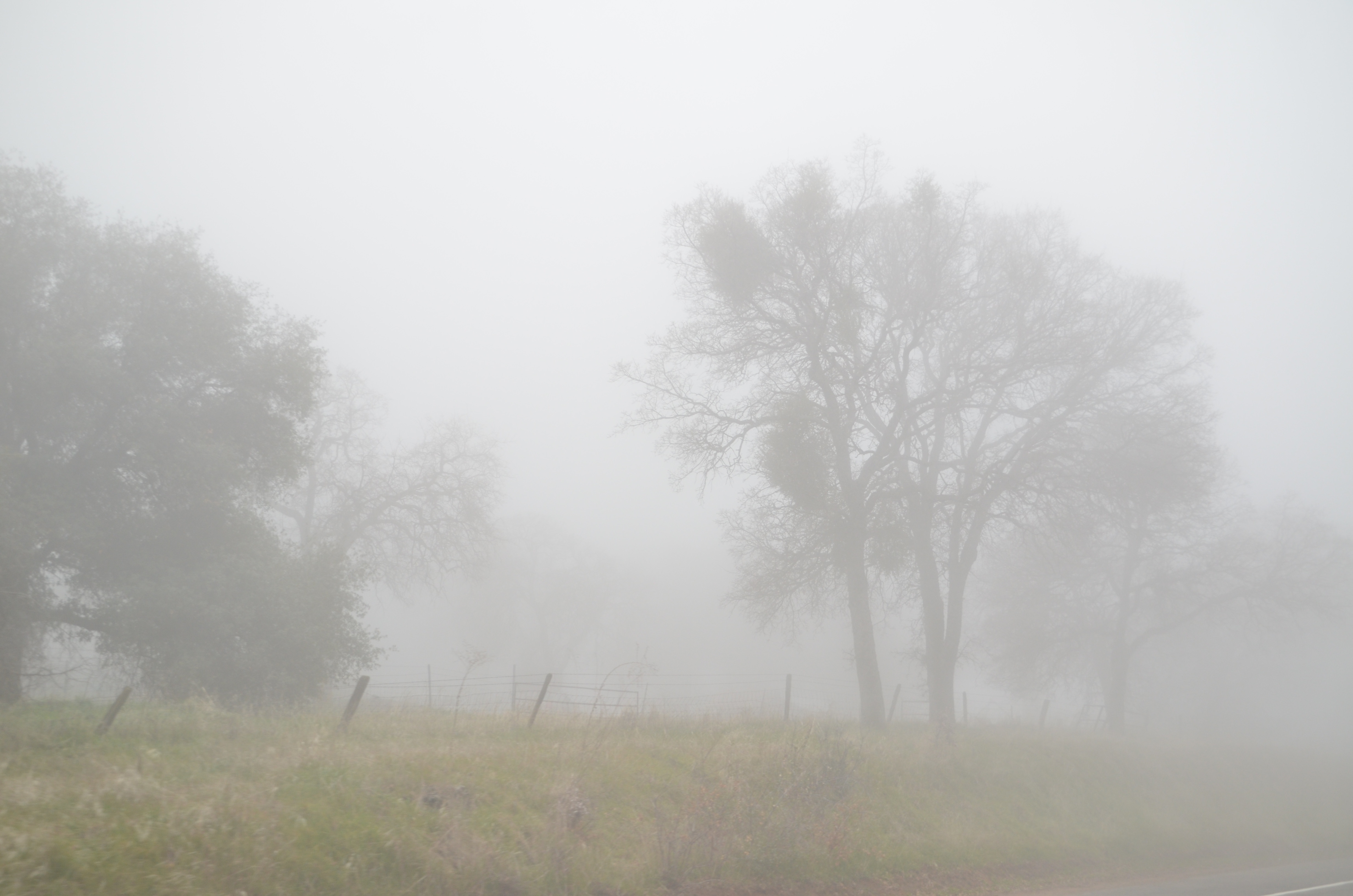
California Fog

Yosemite In The Winter

Red Moss

The Sierra Foothills

California 011

3d Striped Rock (view it large or original)

Sortie de Route / Catheys Valley - Californie

day 16 - brick building

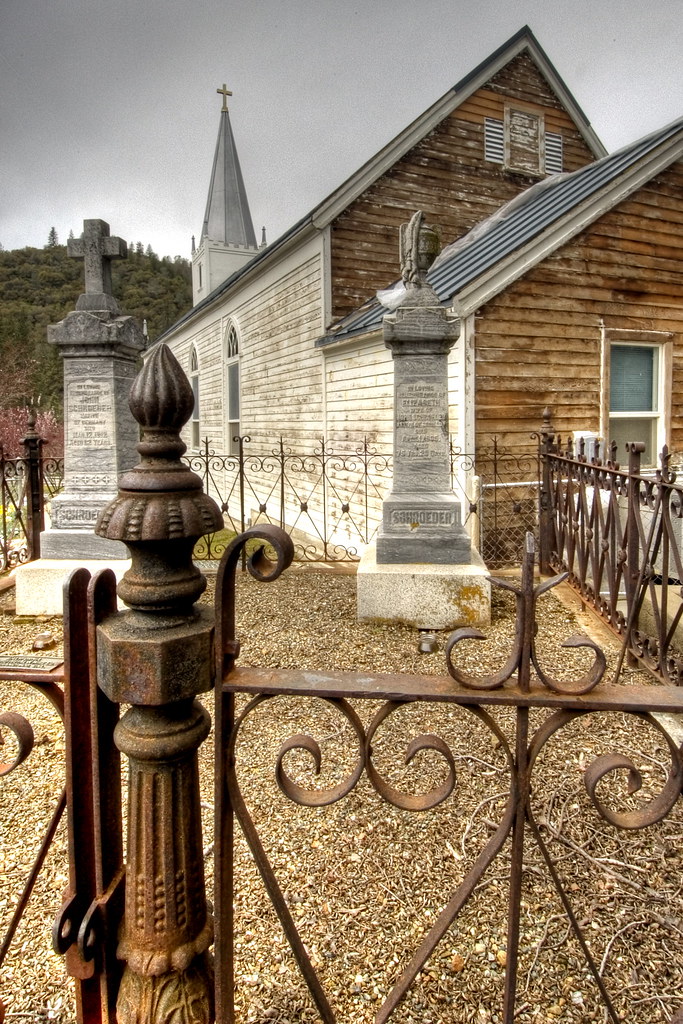
Cemetery, Mariposa

Taken from Tunnel View

200709018.jpg

20090510 P1090162 Yosemite Devils Peak - Summit View

Brochymena sulcata stink bug

As sharp as a knife

Sierra Nevada 2017.

Tenaya Lake

Half Dome, Yosemite National Park, California, USA
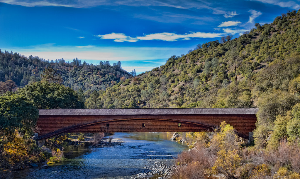
The Covered Bridge at Bridgeport

P1000316 - Yosemite

_MG_7359.jpg

Curves Hwy.49

Merced River 8867

I'll paint a better picture of the woods with you in it.

P1000346 - Yosemite

Yosemite National Park

P1000320 - Yosemite
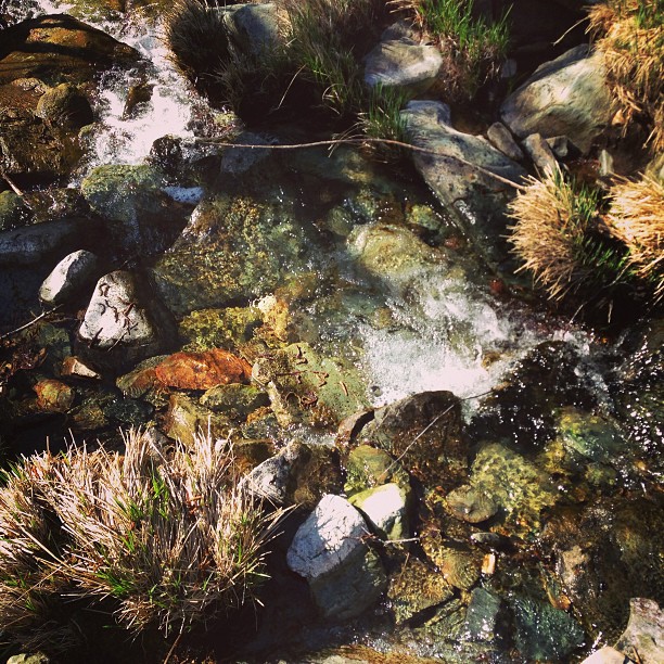
Flowing Water

P1000322 - Yosemite

The Drive

A Bridge Built to Last

Half Dome in Yosemite National Park
Topographic Map of Van Ness, Mariposa, CA, USA
Find elevation by address:

Places near Van Ness, Mariposa, CA, USA:
5550 Silva Rd
4655 Morning Star Ln
3985 Memory Ln
Butterfly Ridge Road
6099 Carter Rd
Morning Star Lane
Spring Hill High School
5110 Silva Rd
Bootjack
Bootjack Market & Deli
Buckingham Mountain Road
Buckingham Mountain Road
Buckingham Mountain Road
4003 Ca-49
4894 Buckingham Mountain Rd
5350 Allred Rd
5094 Allred Rd
5232 Allred Rd
5150 Allred Rd
5150 Allred Rd
Recent Searches:
- Elevation of Zu den Ihlowbergen, Althüttendorf, Germany
- Elevation of Badaber, Peshawar, Khyber Pakhtunkhwa, Pakistan
- Elevation of SE Heron Loop, Lincoln City, OR, USA
- Elevation of Slanický ostrov, 01 Námestovo, Slovakia
- Elevation of Spaceport America, Co Rd A, Truth or Consequences, NM, USA
- Elevation of Warwick, RI, USA
- Elevation of Fern Rd, Whitmore, CA, USA
- Elevation of 62 Abbey St, Marshfield, MA, USA
- Elevation of Fernwood, Bradenton, FL, USA
- Elevation of Felindre, Swansea SA5 7LU, UK