Elevation of Van Hill Rd, Greeneville, TN, USA
Location: United States > Tennessee > Greene County > Greeneville >
Longitude: -82.835171
Latitude: 36.3264972
Elevation: 377m / 1237feet
Barometric Pressure: 97KPa
Elevation Map:
Satellite Map:
Related Photos:

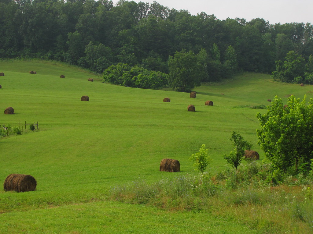
Feild View

Foggy View.

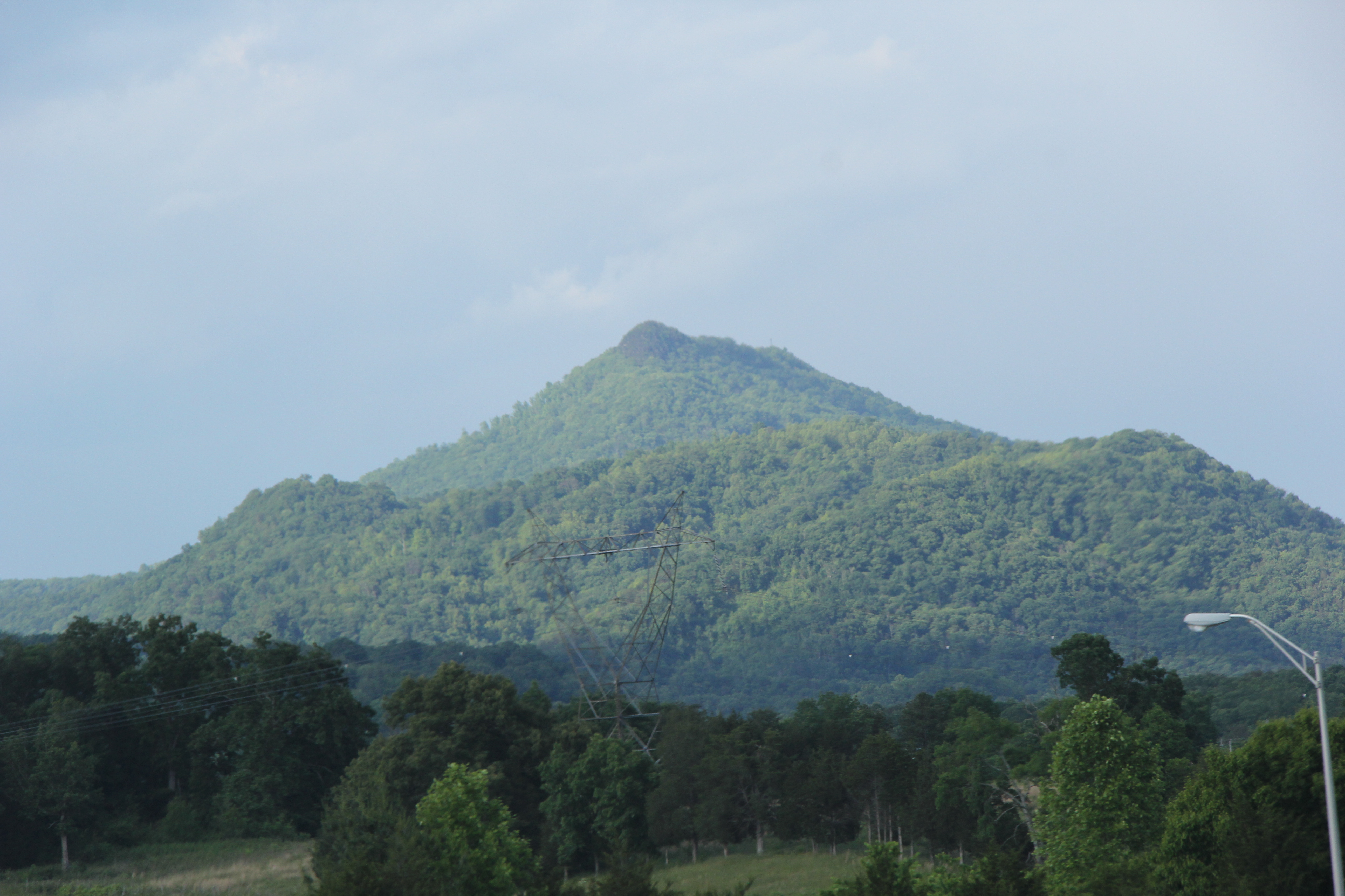
Tennessee mountains
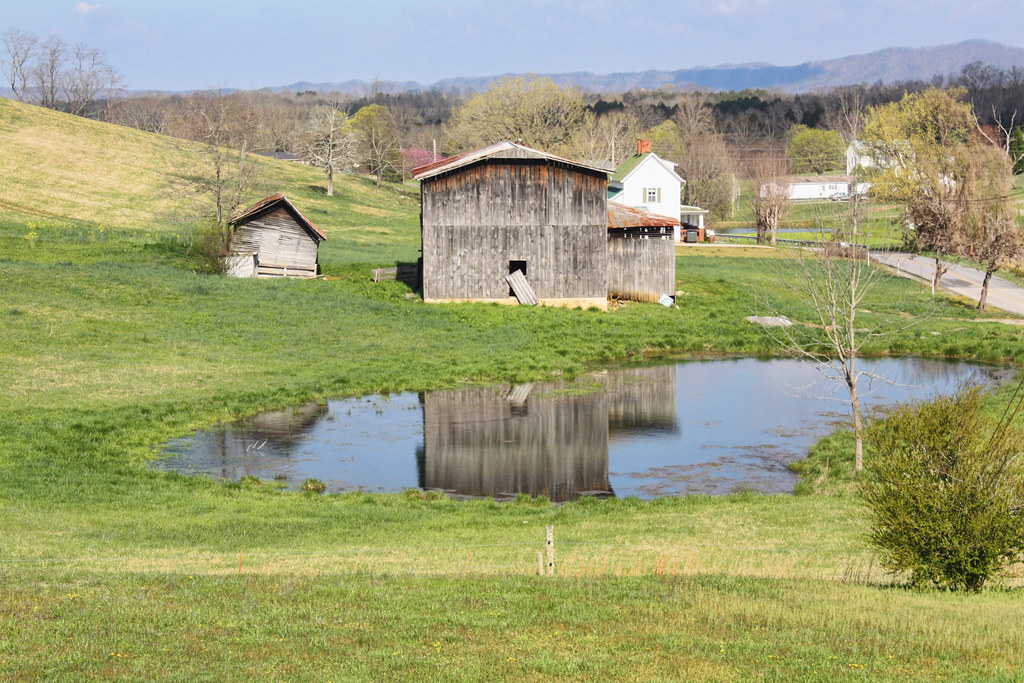
Tennessee Landscape

Mother and Son
Rogersville TN
Rogersville TN

Rogersville TN

Runnin' down a dream... and I'm so close to catchin' it. #cacamericorps
Rogersville TN

Big Creek
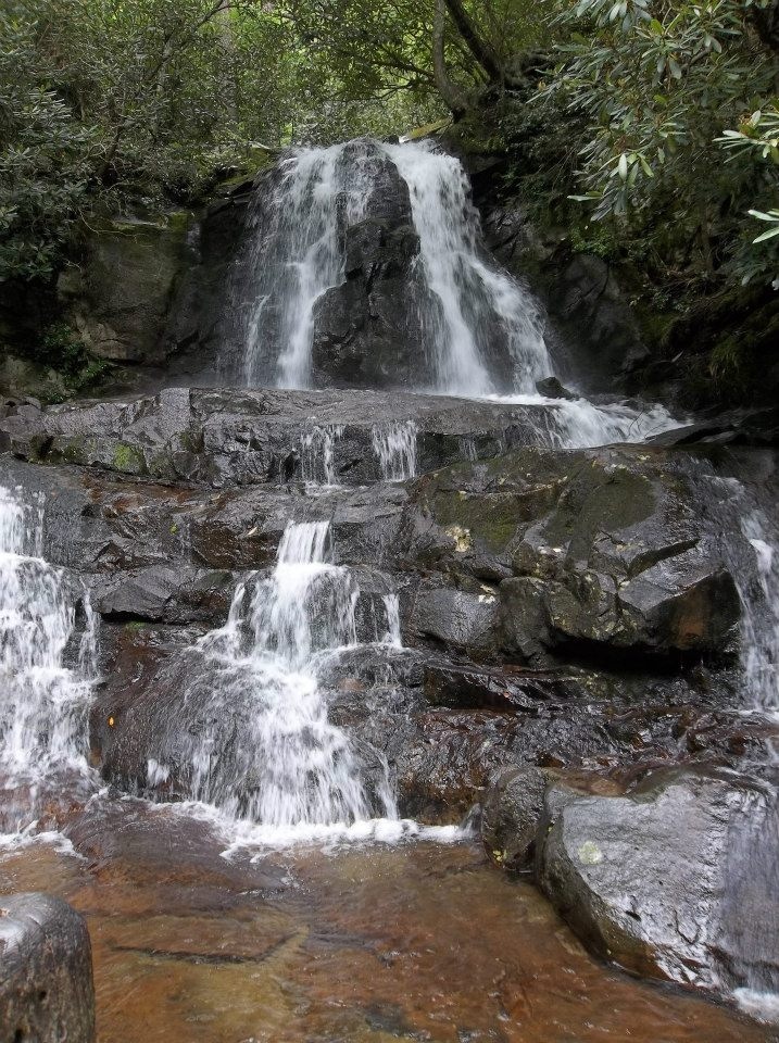
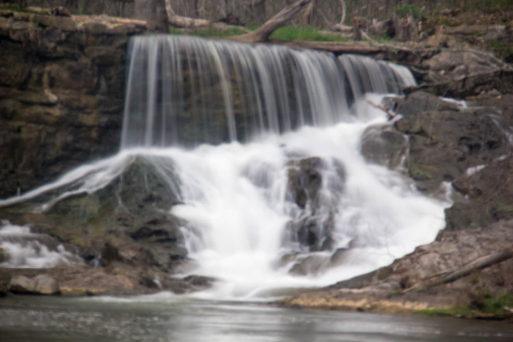
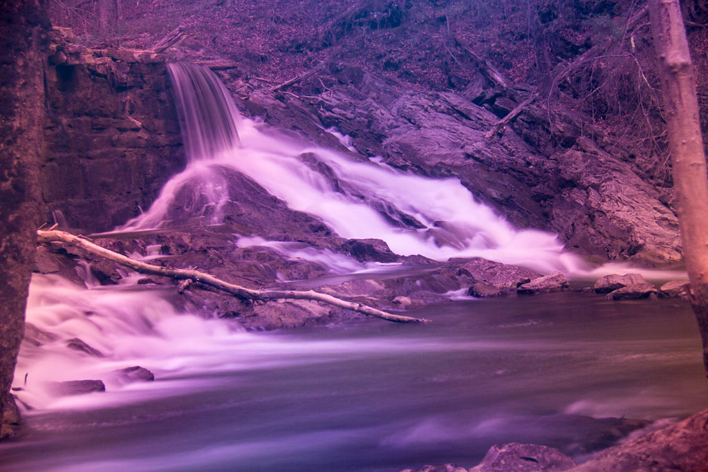
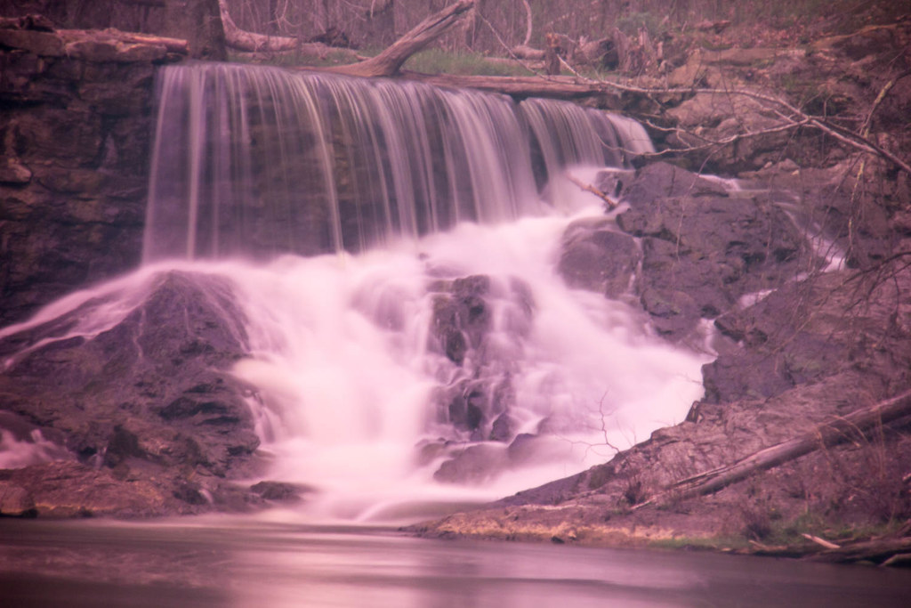
Laurel Falls
#lickcreek

IMG_9300.JPG
Reflections of the way life used to be

Hello ... ;-)
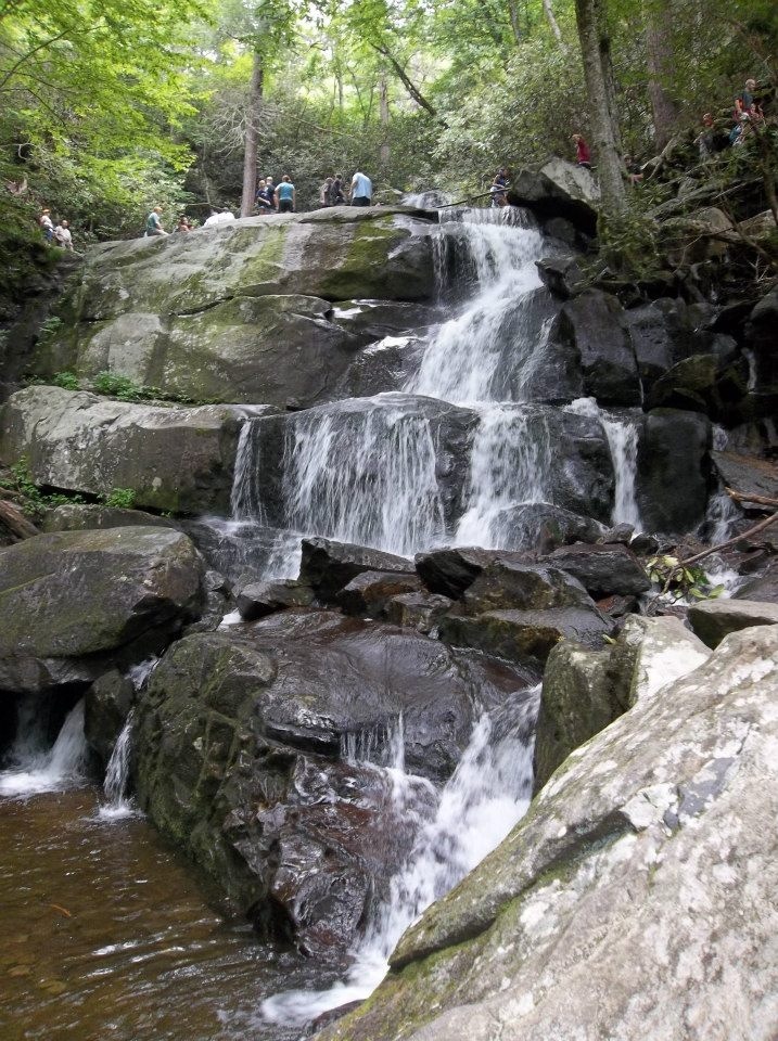
Laurel Falls
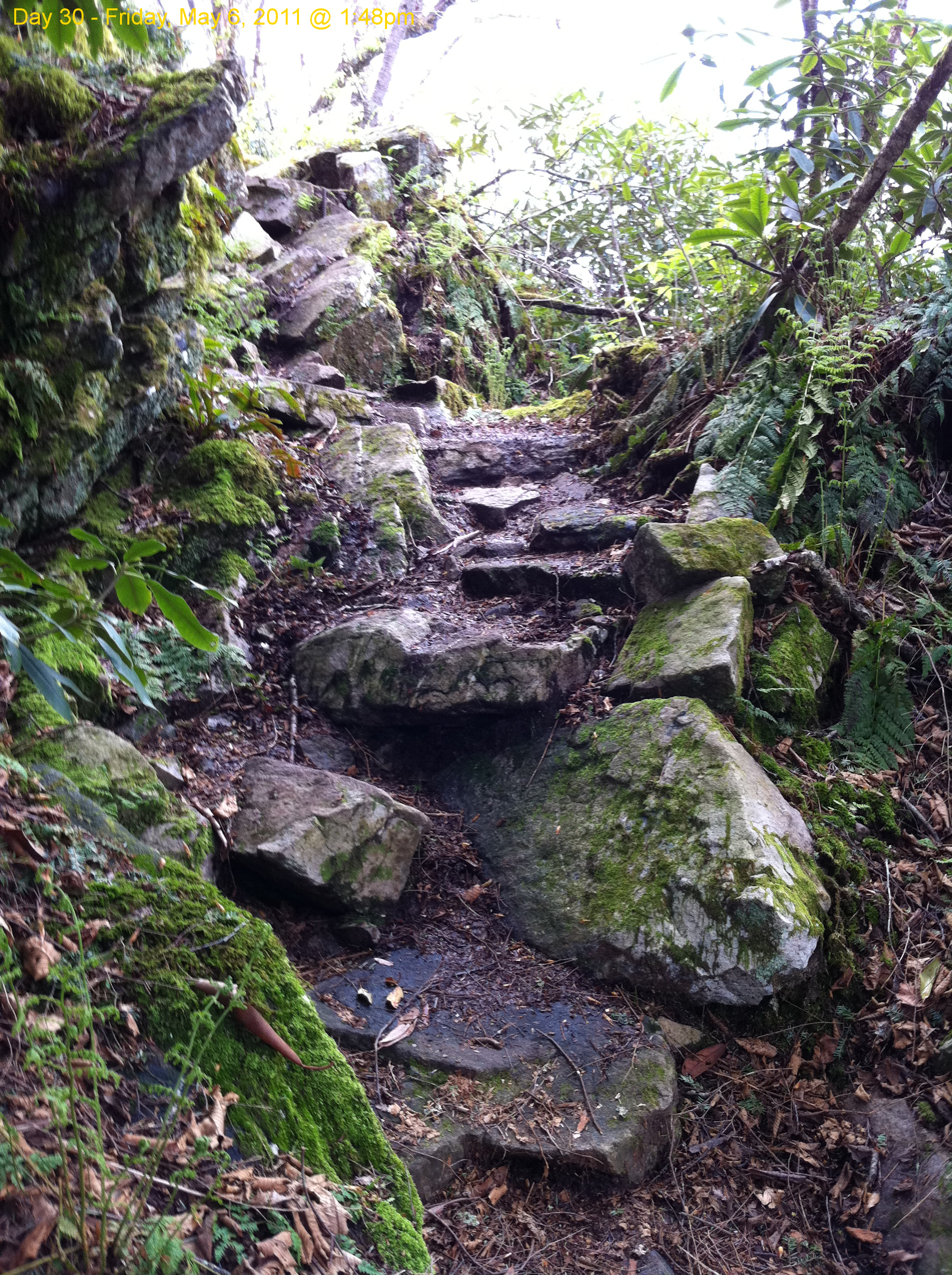
Scribbles AT Hike 2011-05-06 @ 13-48-51
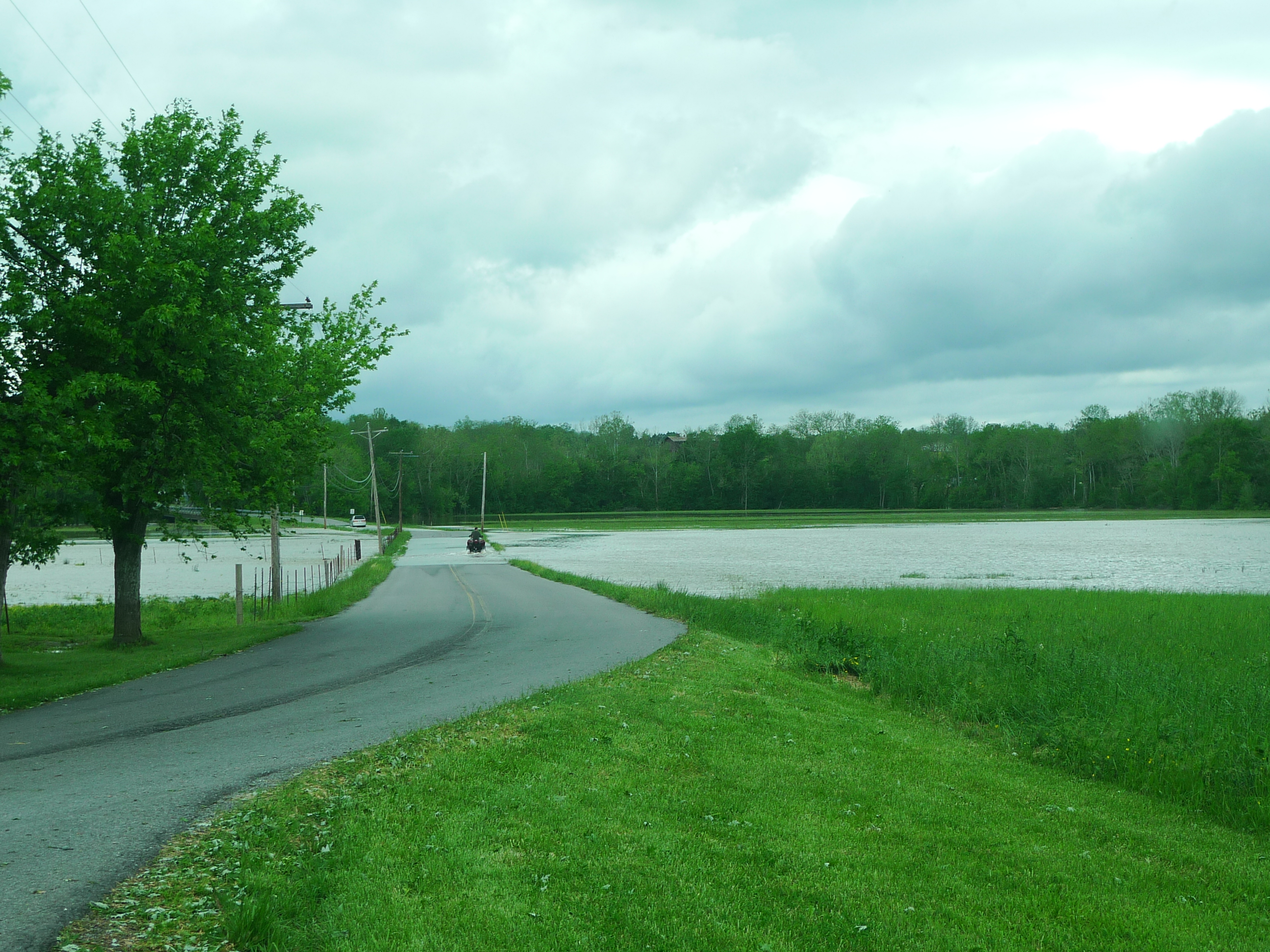
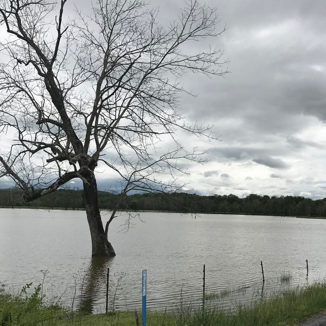
ATV goes through flooded road
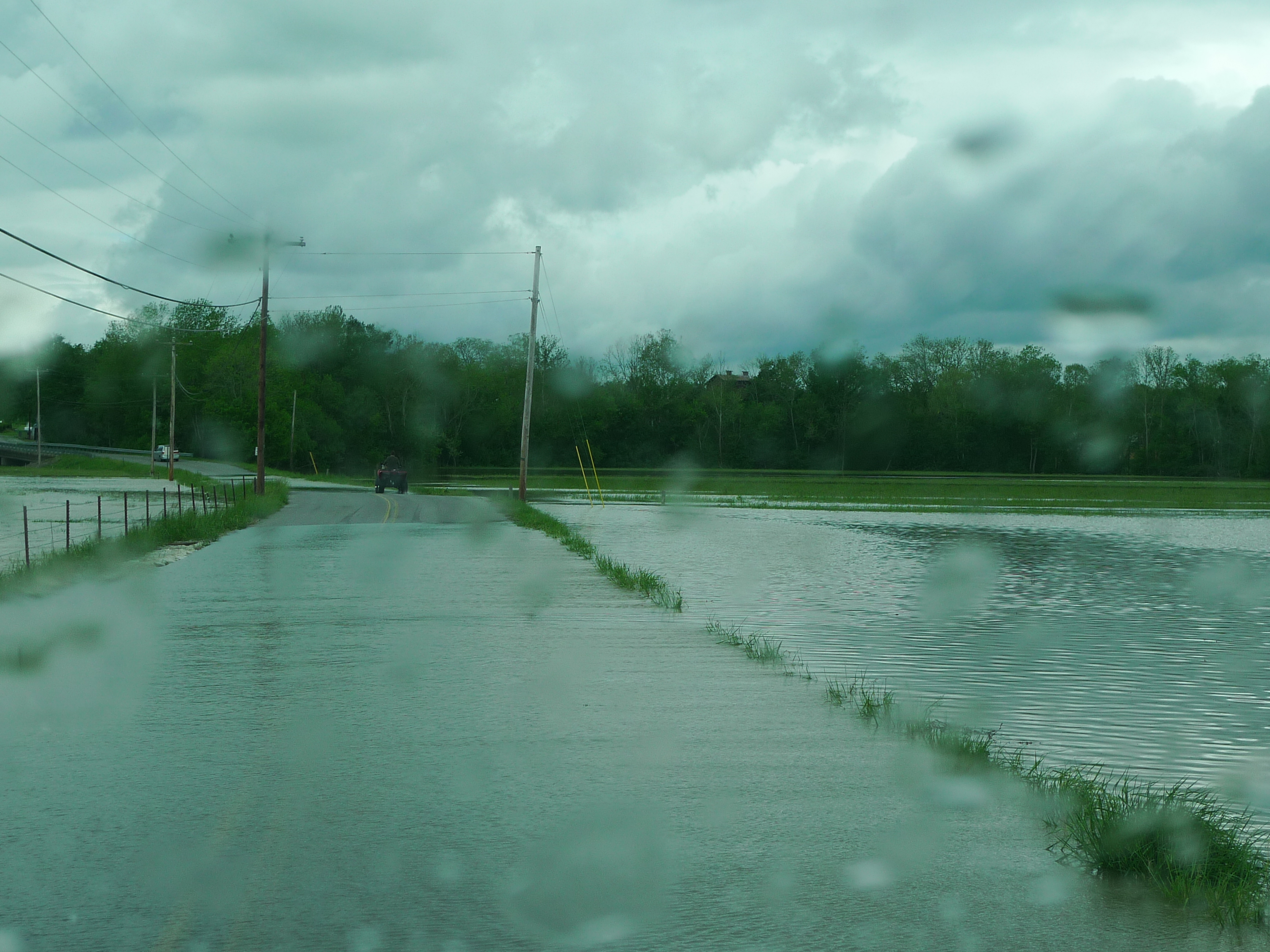
ATV goes through flooded road
Tennessee Driving
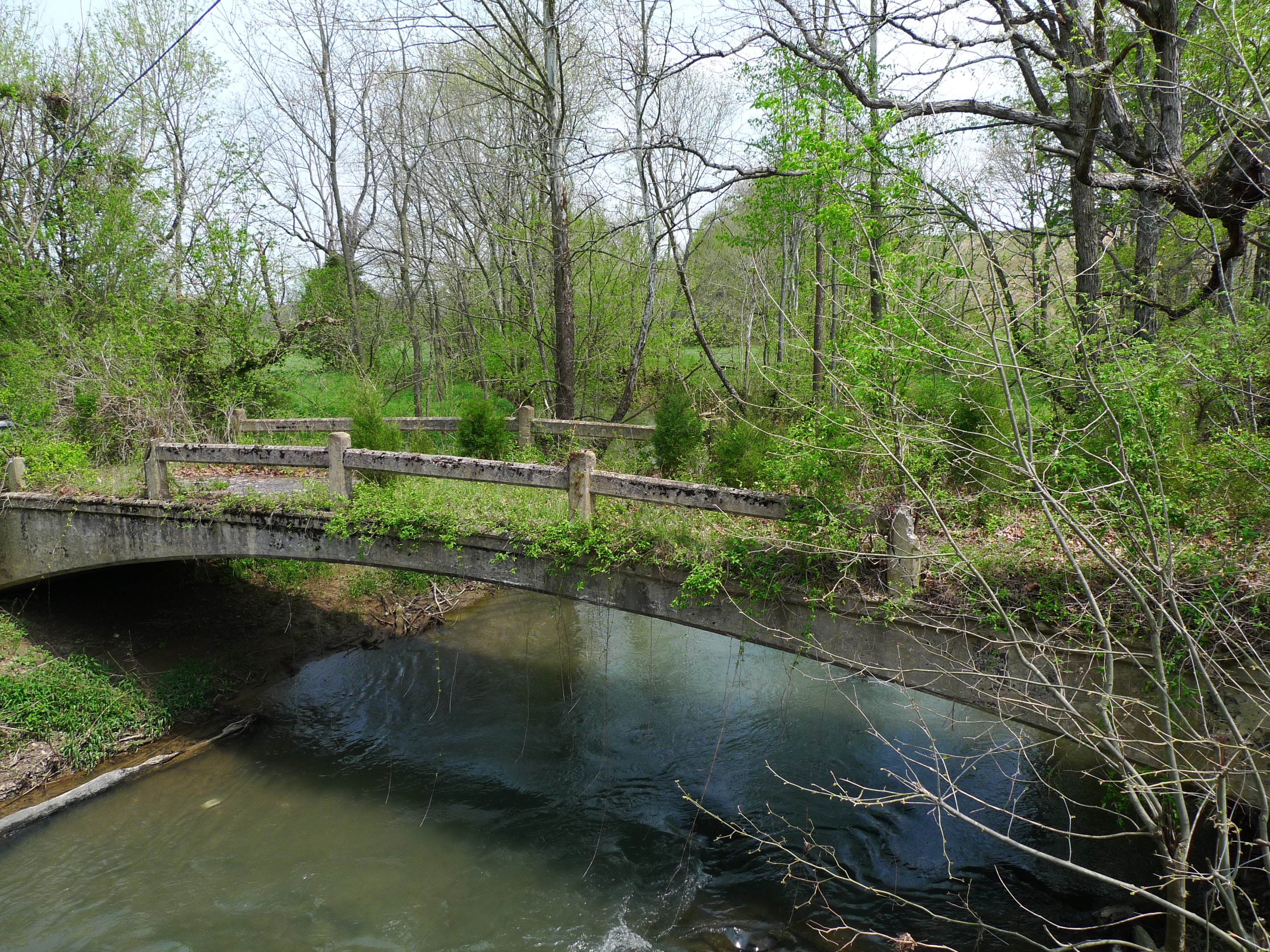
Lick Creek Bridge
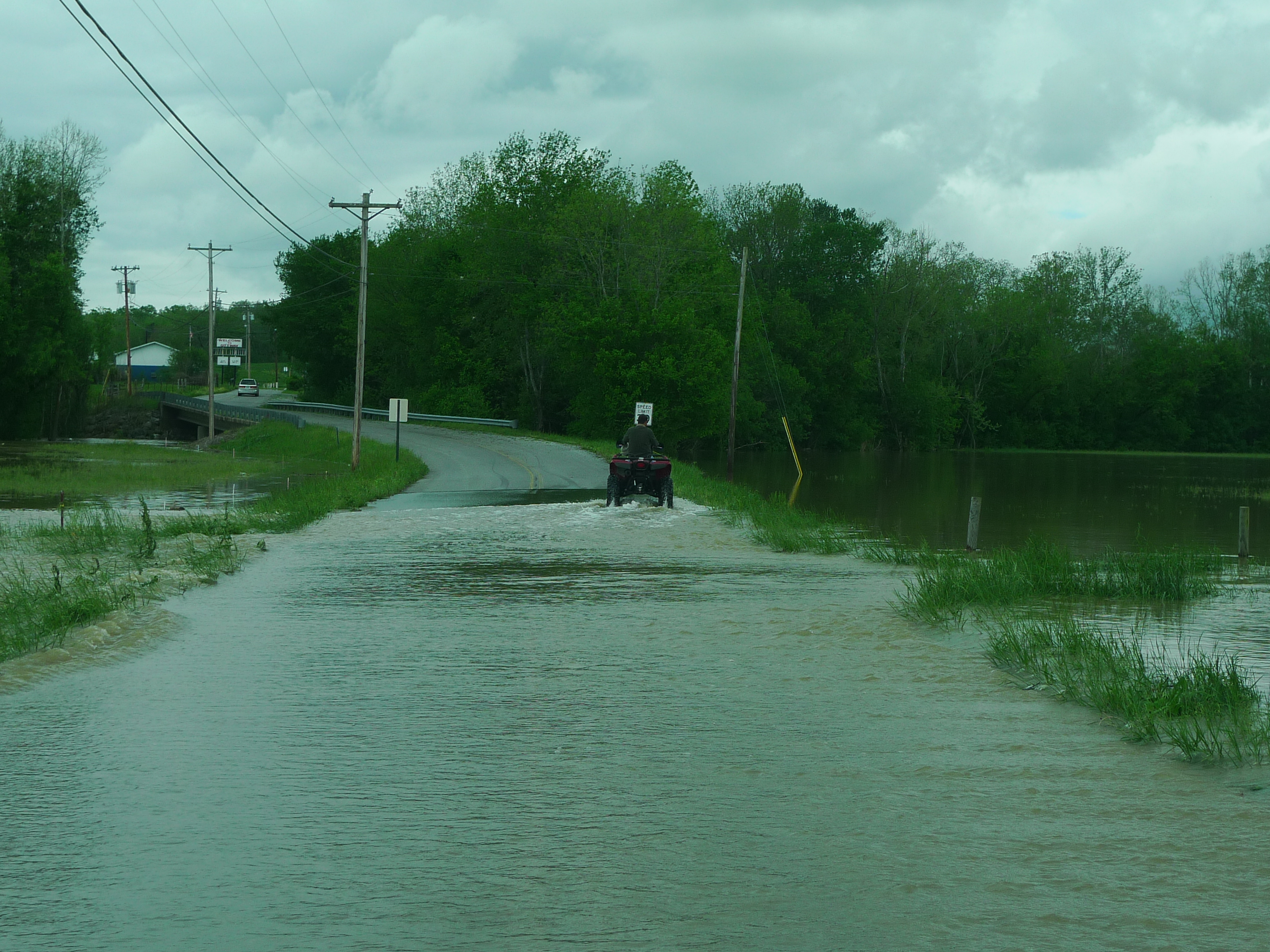
ATV goes through flooded road
Topographic Map of Van Hill Rd, Greeneville, TN, USA
Find elevation by address:

Places near Van Hill Rd, Greeneville, TN, USA:
174 Van Hill Rd
Baileyton
6955 Horton Hwy
520 Dykes Rd
532 Jubilee Rd
553 Brown Mountain Rd
956 Lost Mountain Pike
J R Kenney Lane
Kite Road
129 Chaney Rd
440 Kite Rd
1105 Old Baileyton Rd
Ottway Rd, Greeneville, TN, USA
4175 Babbs Mill Rd
3195 Ottway Rd
1820 Babbs Mill Rd
1628 Babbs Mill Rd
Greeneville, TN, USA
Doty Chapel Rd, Afton, TN, USA
910 Doty Chapel Rd
Recent Searches:
- Elevation of Mamala II, Sariaya, Quezon, Philippines
- Elevation of Sarangdanda, Nepal
- Elevation of 7 Waterfall Way, Tomball, TX, USA
- Elevation of SW 57th Ave, Portland, OR, USA
- Elevation of Crocker Dr, Vacaville, CA, USA
- Elevation of Pu Ngaol Community Meeting Hall, HWHM+3X7, Krong Saen Monourom, Cambodia
- Elevation of Royal Ontario Museum, Queens Park, Toronto, ON M5S 2C6, Canada
- Elevation of Groblershoop, South Africa
- Elevation of Power Generation Enterprises | Industrial Diesel Generators, Oak Ave, Canyon Country, CA, USA
- Elevation of Chesaw Rd, Oroville, WA, USA