Elevation of Valserhorn, Vals, Switzerland
Location: Switzerland > Grisons > Surselva District > Vals > Vals >
Longitude: 9.20831
Latitude: 46.5604
Elevation: 2877m / 9439feet
Barometric Pressure: 71KPa
Elevation Map:
Satellite Map:
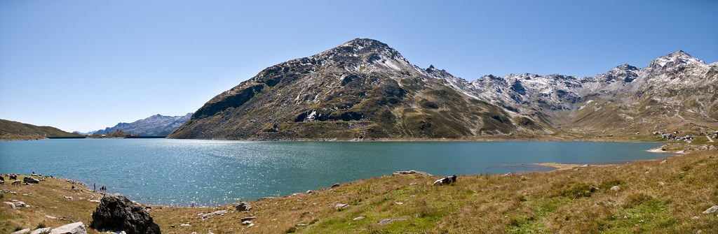
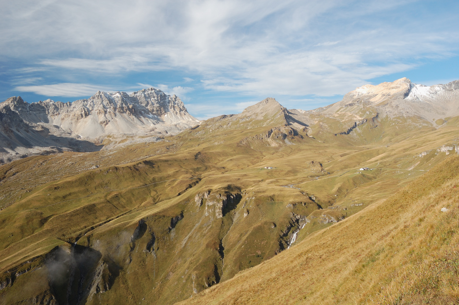
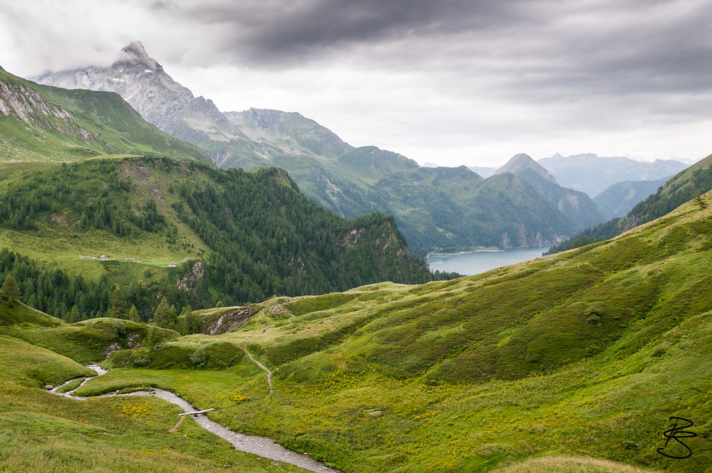
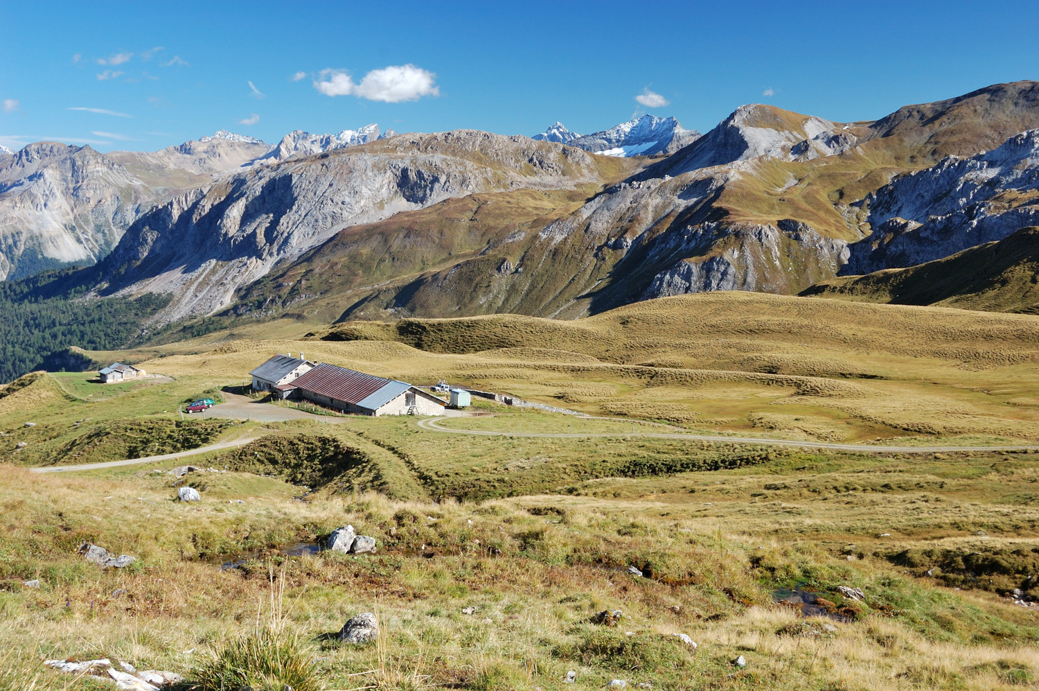
Related Photos:

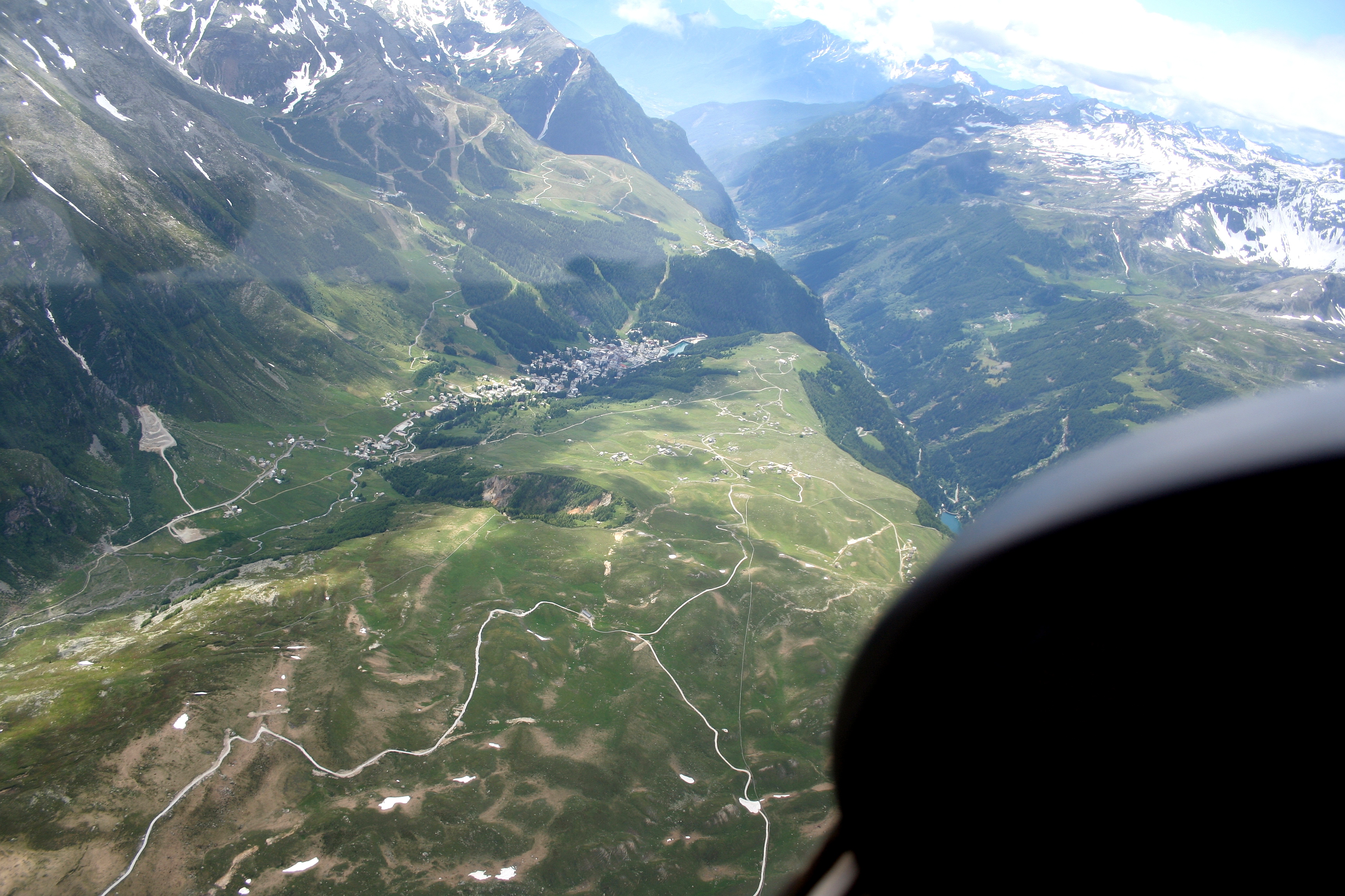
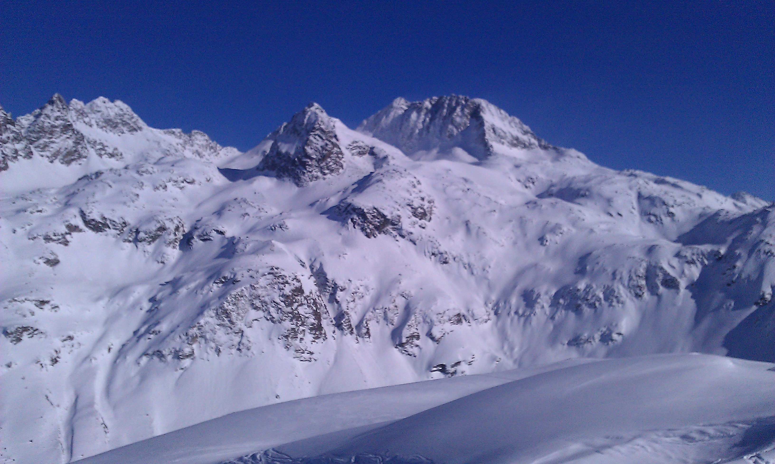
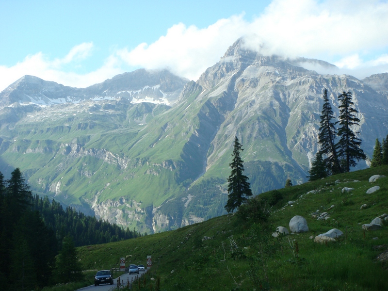
Mountain View

passo di spluga view
Passo dello Spluga
Saturday: Last views of Alp Curtginatsch
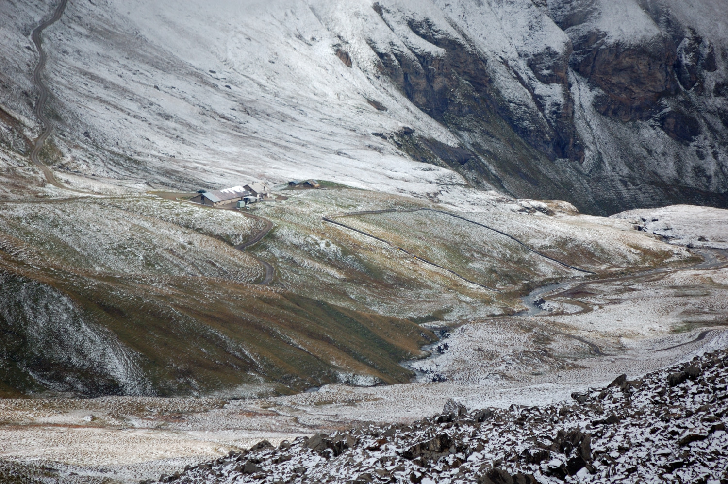
View of Lago Luzzone
Friday: afternoon view of Curtginatsch
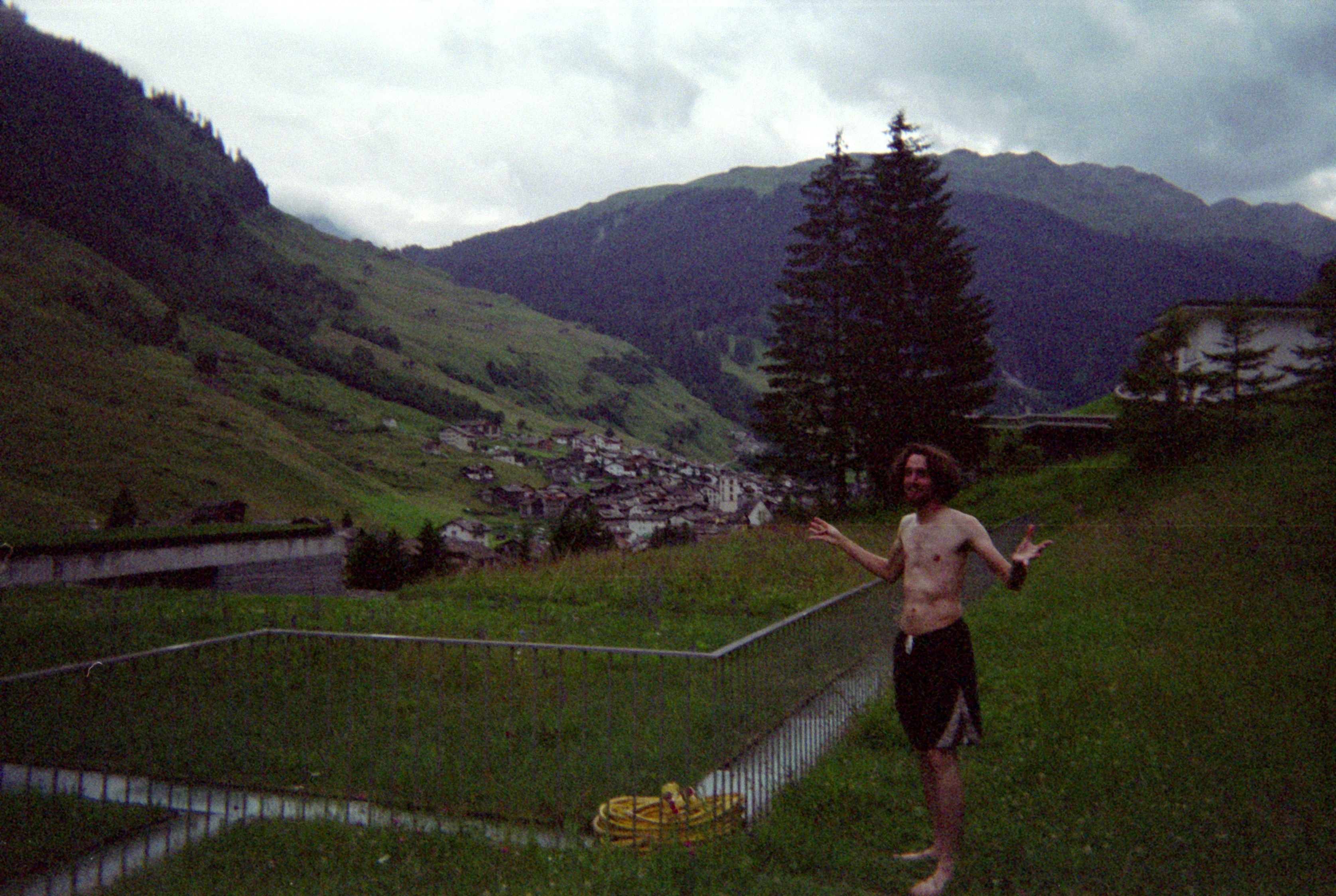
therme vals - me struggling to find entrance
Tuesday: View of Curtginatsch and the wall from the slopes of Muttolta
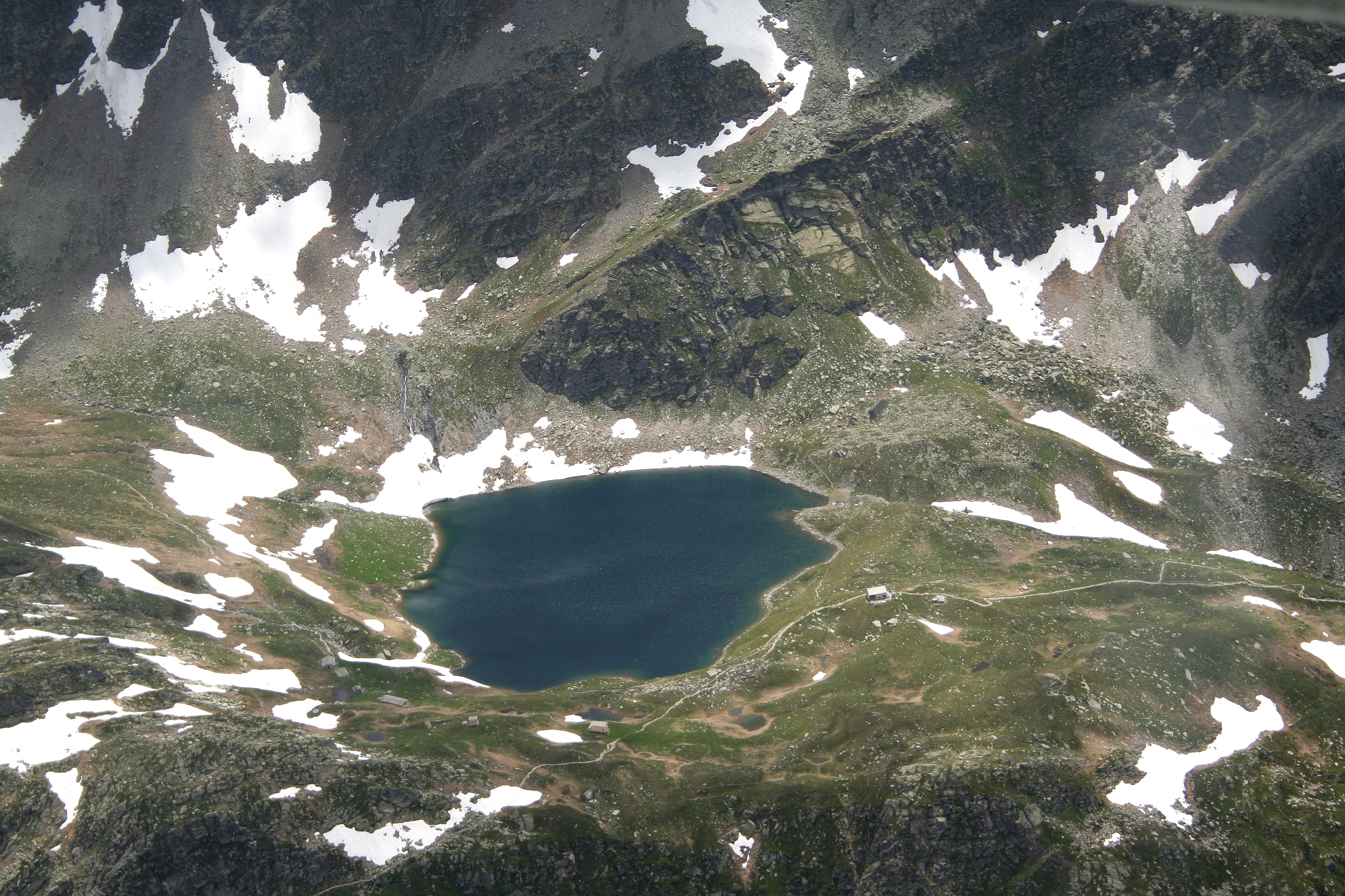
Spluga Valley - A small lake over mountains
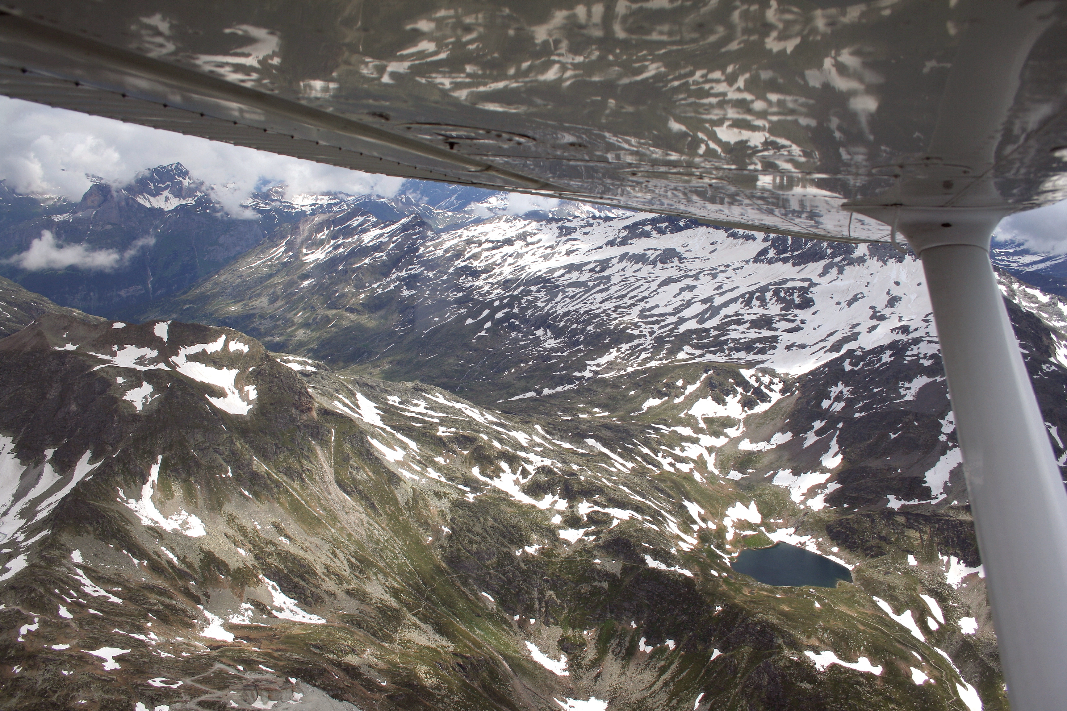
Spluga Valley - A small lake over mountains

Pizzo Tambo - 3279m
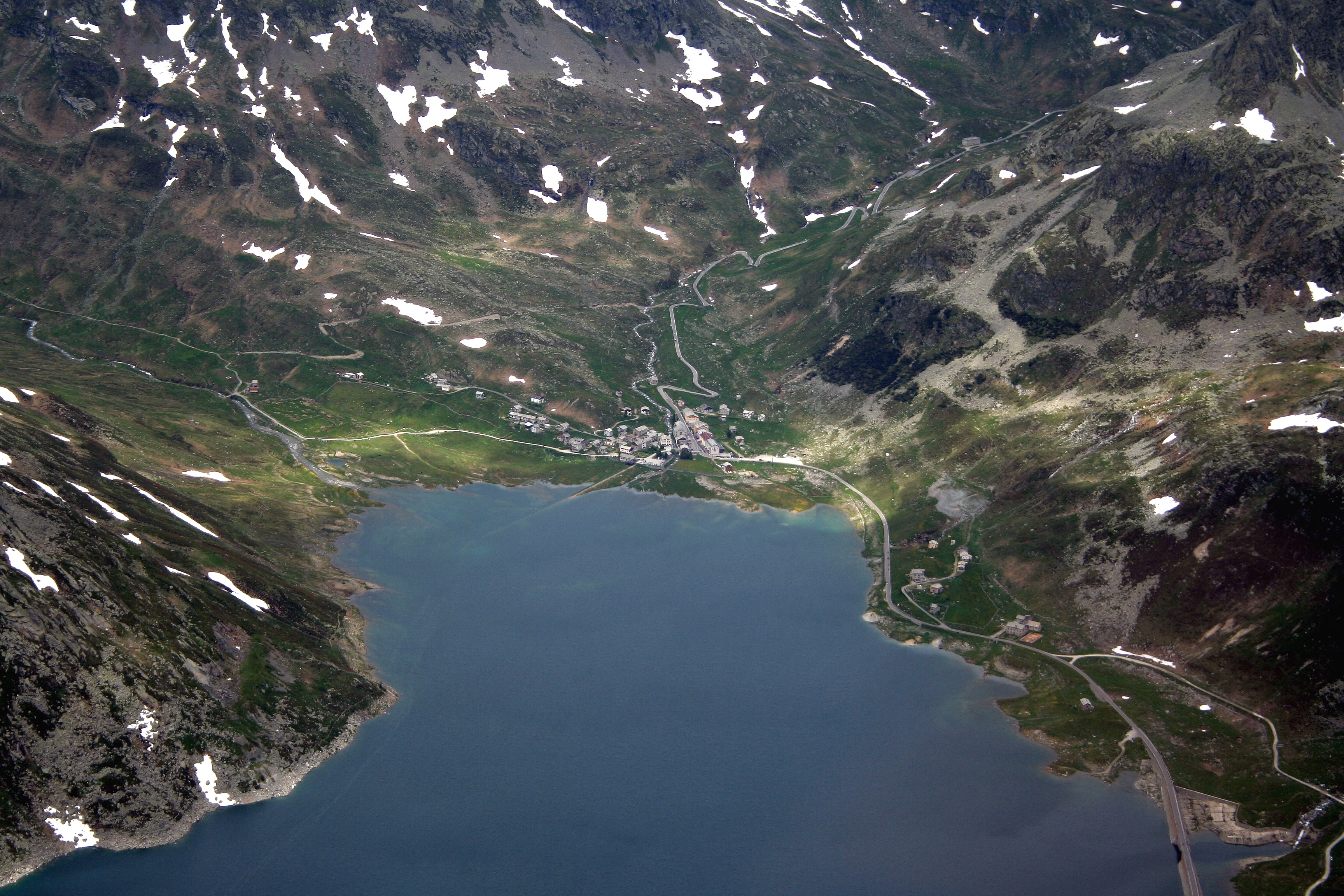
Spluga Valley - Lake of Montespluga
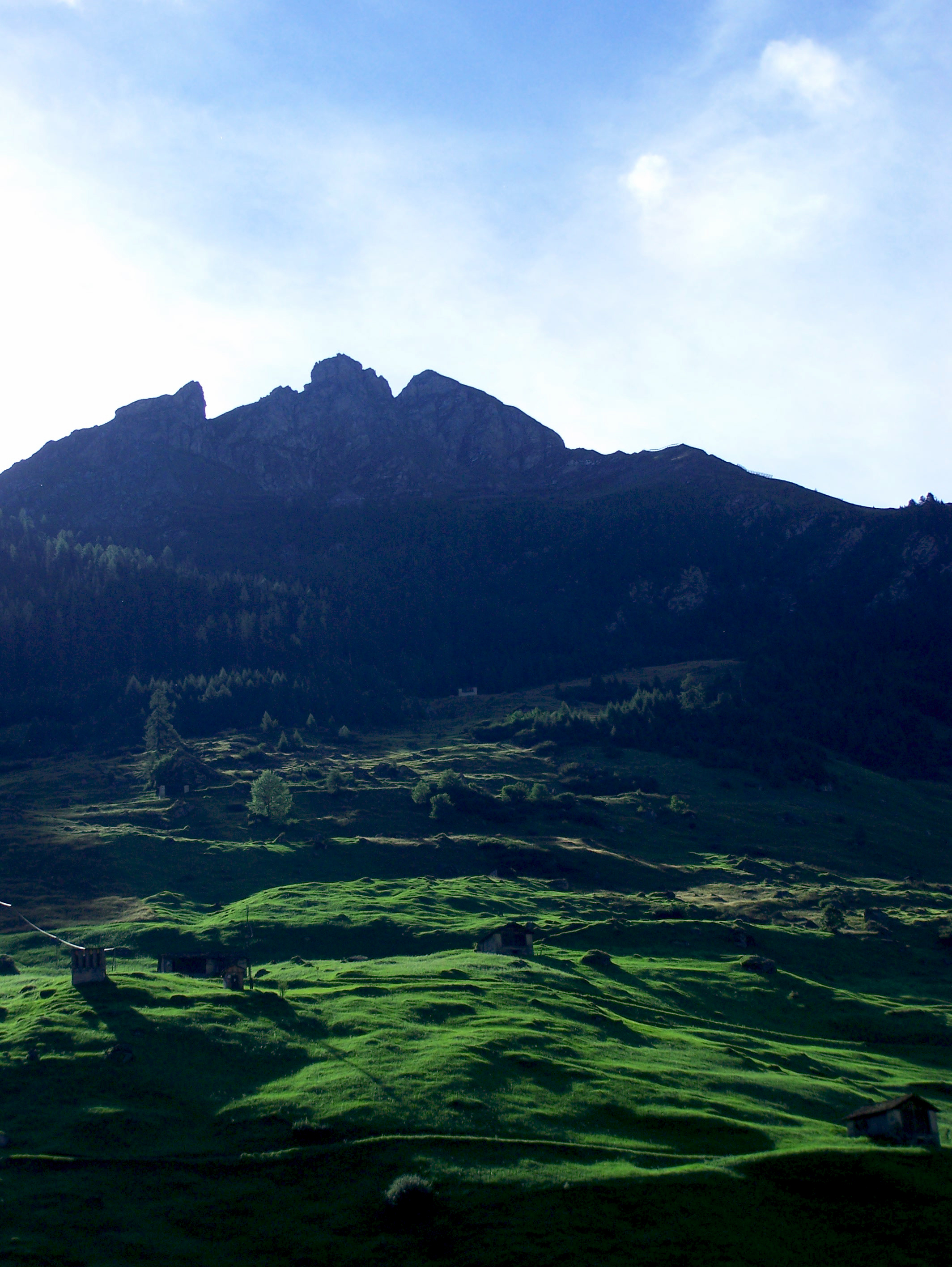
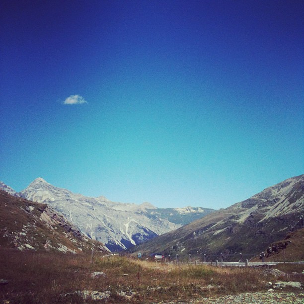
vals: alps
Spluga Valley

View from St. Bernardino's Pass, Switzerland.
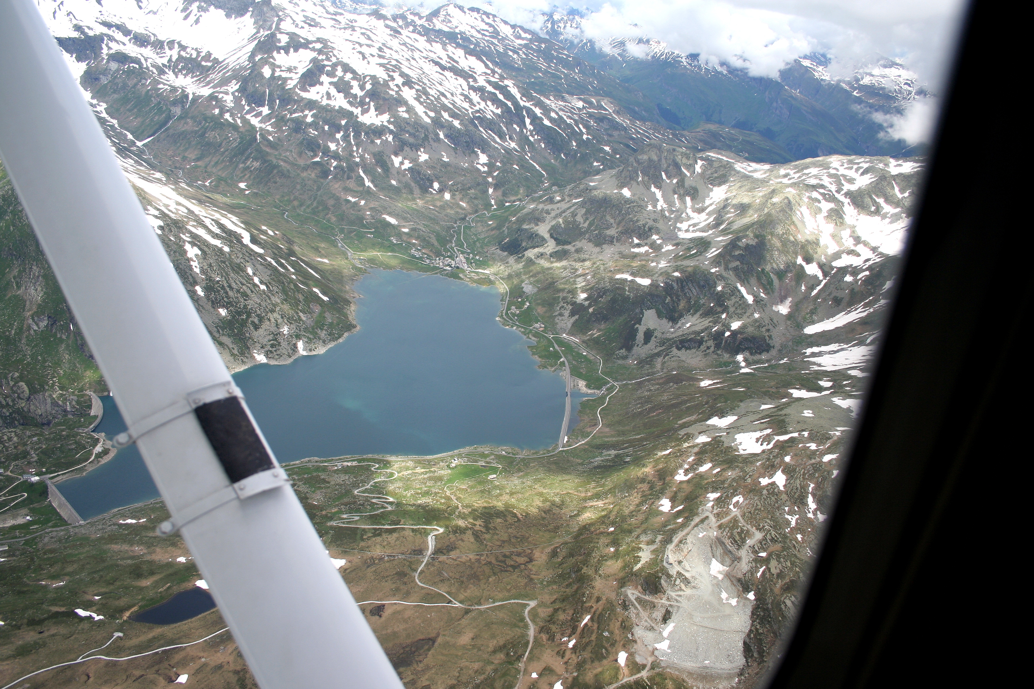
Spluga Valley - Lake of Montespluga
View to Switzerland
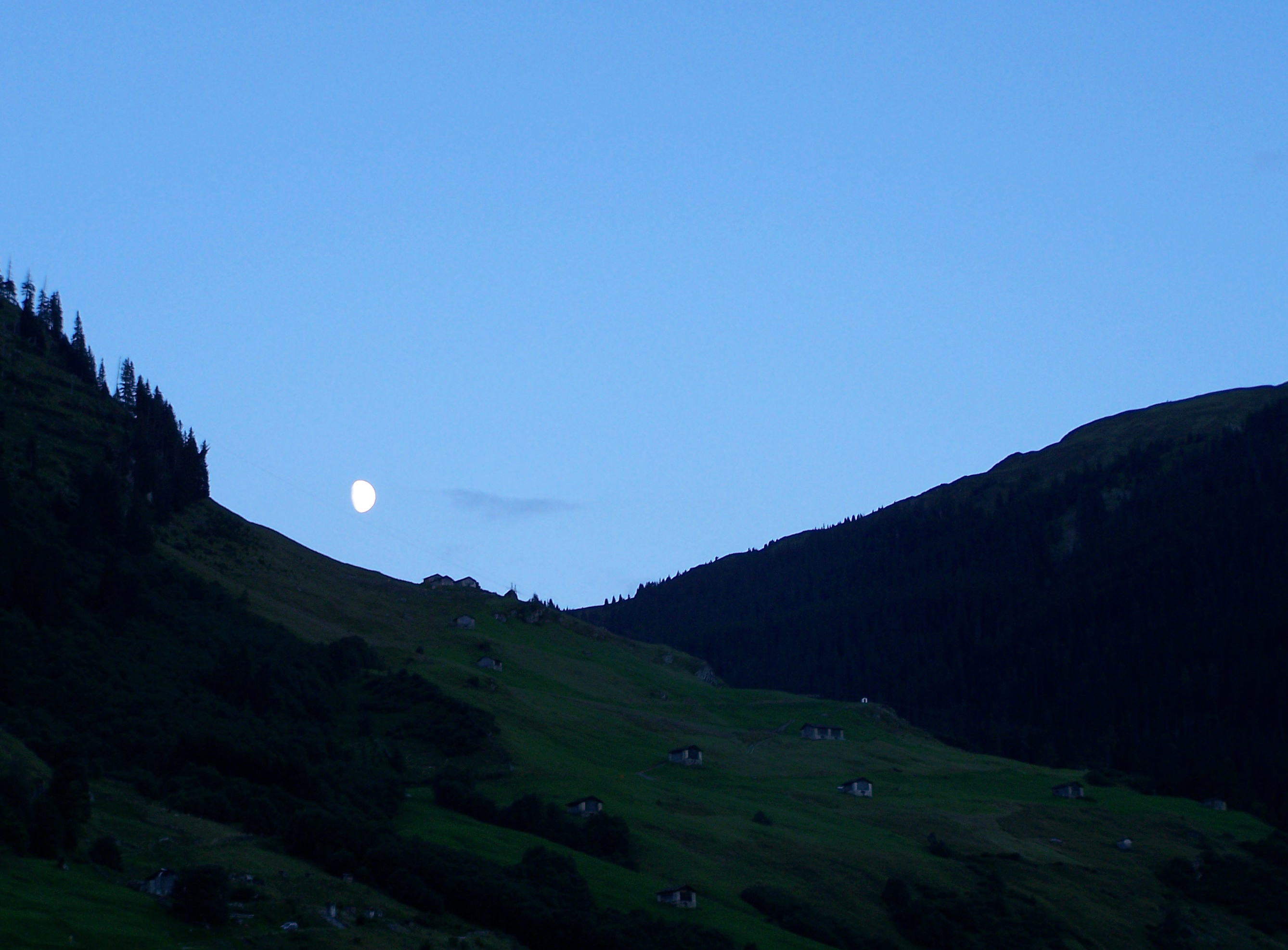
vals: twilight
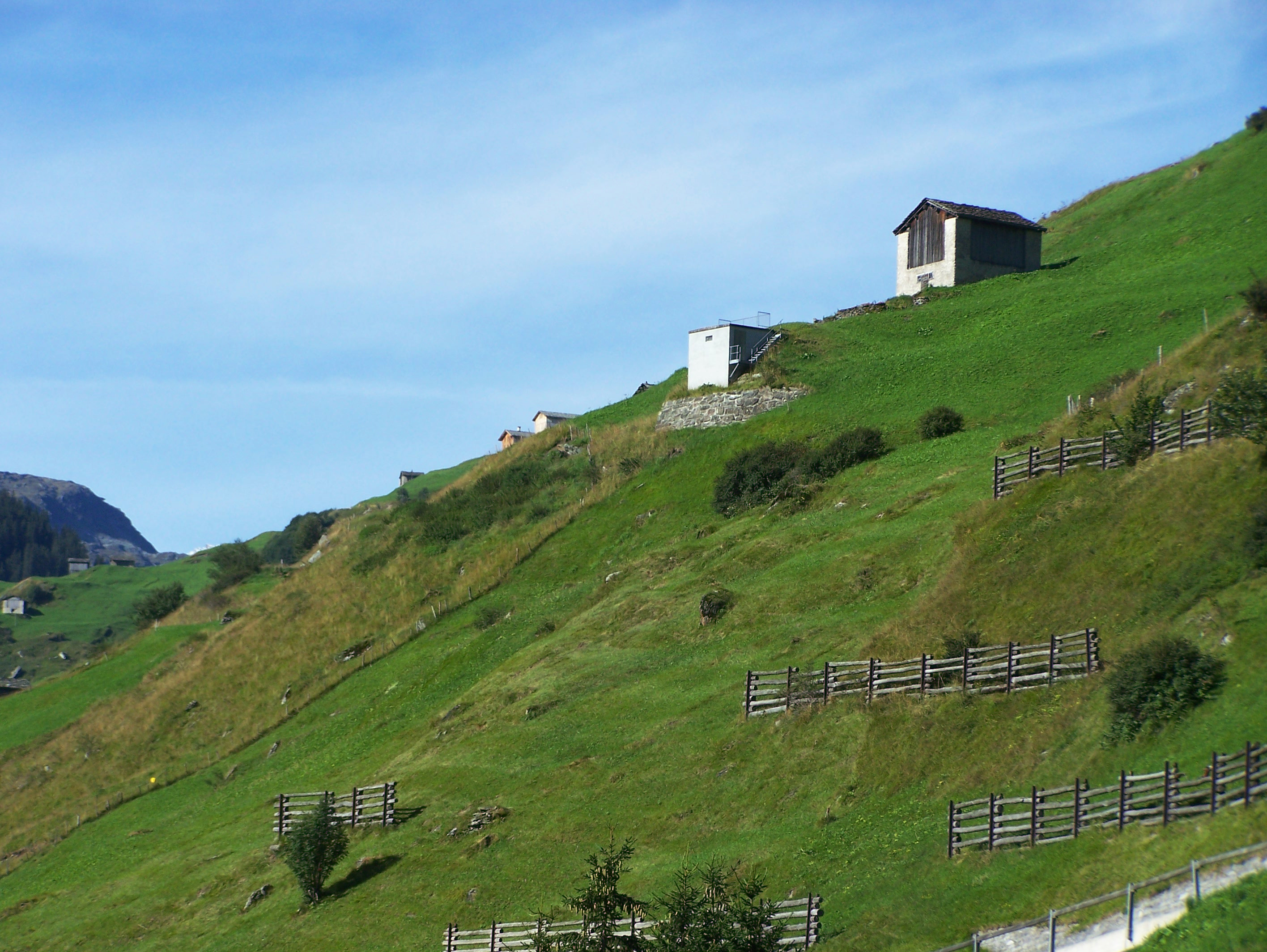
vals: surrounding hills
My current view
DSC01321.JPG
Topographic Map of Valserhorn, Vals, Switzerland
Find elevation by address:

Places near Valserhorn, Vals, Switzerland:
Hinterrhein
Nufenen
Chilchalphorn
San Bernardinotunnel
Piz De La Lumbreida
Pizzo Tambo
Italienische Str. 37, Splügen, Switzerland
Splügen
Piz D'arbeola
Cima De Barna
Piz Pian Grand
Piz De Trescolmen
Sufers
Piz Por
Hinterrhein District
Madesimo
SS36, Campodolcino SO, Italy
Rofflafall
Piz Timun
Ausserferrera
Recent Searches:
- Elevation of Corso Fratelli Cairoli, 35, Macerata MC, Italy
- Elevation of Tallevast Rd, Sarasota, FL, USA
- Elevation of 4th St E, Sonoma, CA, USA
- Elevation of Black Hollow Rd, Pennsdale, PA, USA
- Elevation of Oakland Ave, Williamsport, PA, USA
- Elevation of Pedrógão Grande, Portugal
- Elevation of Klee Dr, Martinsburg, WV, USA
- Elevation of Via Roma, Pieranica CR, Italy
- Elevation of Tavkvetili Mountain, Georgia
- Elevation of Hartfords Bluff Cir, Mt Pleasant, SC, USA