Elevation of Valley Golf Center, W Indian School Rd, Avondale, AZ, USA
Location: United States > Arizona > Maricopa County > Avondale >
Longitude: -112.32247
Latitude: 33.4916074
Elevation: 307m / 1007feet
Barometric Pressure: 98KPa
Elevation Map:
Satellite Map:
Related Photos:
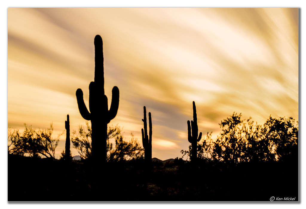
Saguaro Silhouettes

Desert Reflections

Autumn in January
Arizona Sunset

Lone Silhouette
Arizona Sunset

Wading In The Milky Water

Saguaro Cactus

Gila River, Arizona

Moody Skies

Arizona Winter
Dead silence.
Arizona 6:00pm

national geographic

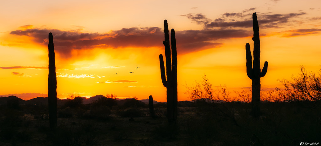
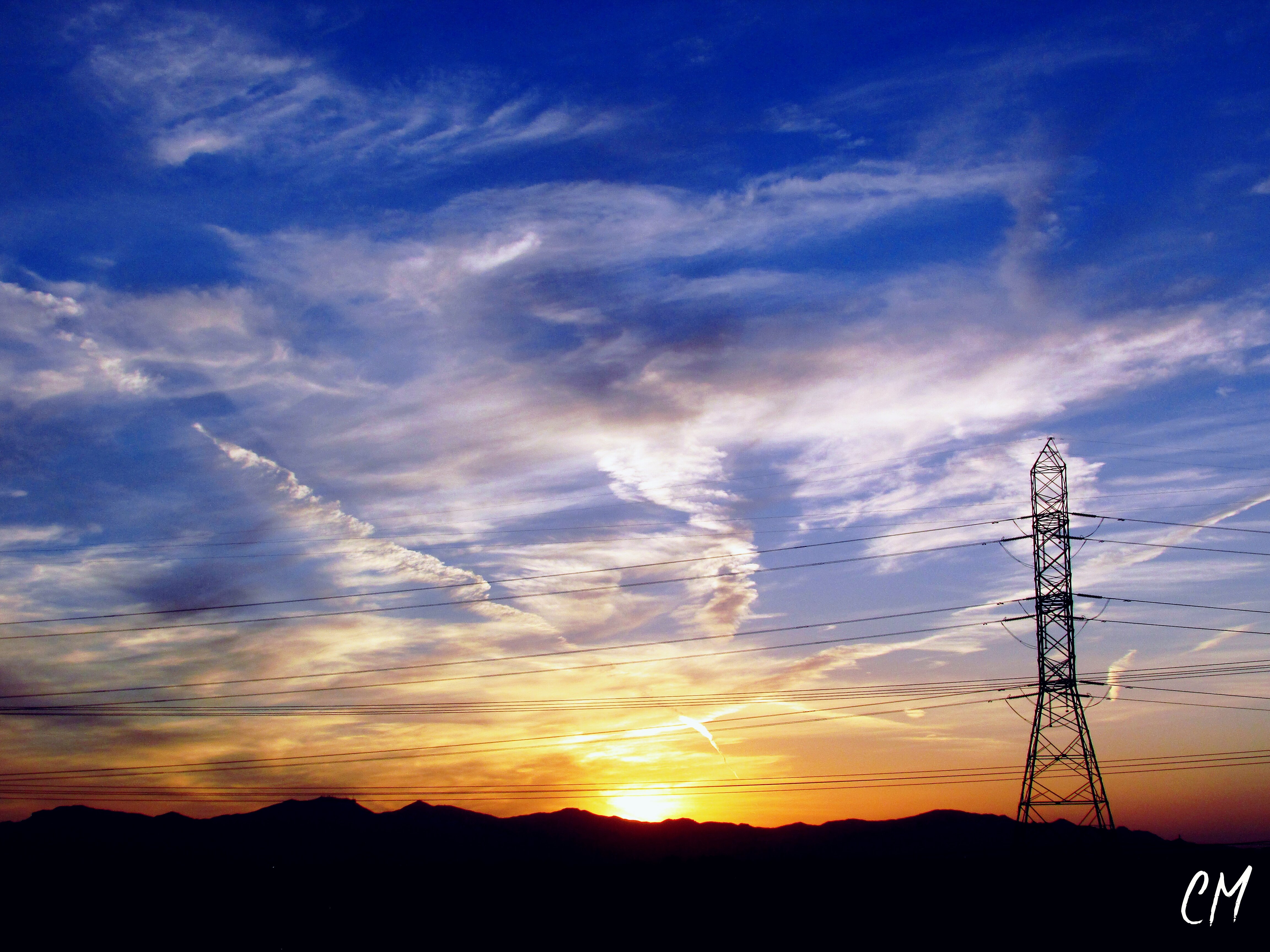
Arizona Sunset

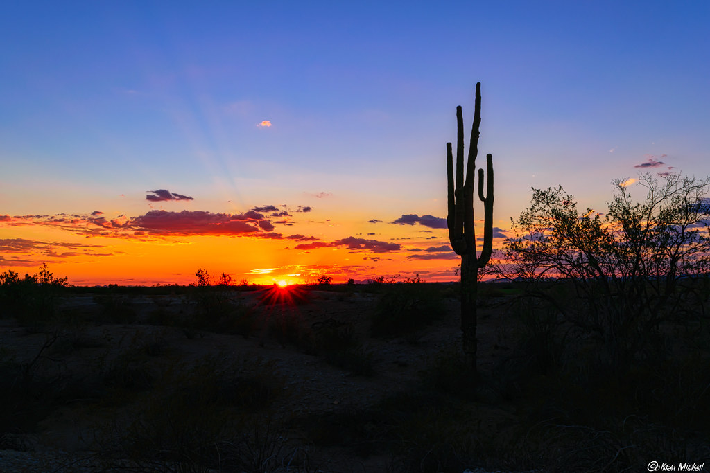
Arizona Sunset

Surreal Days

A View Across the City Grid of Phoenix and the Phoenix Sky Harbor International Airport (Black & White)

I am Aware

Saguaro Silhouettes

Frost, Ice
Topographic Map of Valley Golf Center, W Indian School Rd, Avondale, AZ, USA
Find elevation by address:

Places near Valley Golf Center, W Indian School Rd, Avondale, AZ, USA:
12641 W Columbus Ave
Corte Sierra
Canyon Breeze Elementary School
Garden Lake Manor
10945 W Poinsettia Dr
11901 W Mcdowell Rd
72 N Mobile Home Park, Avondale, AZ, USA
11022 W Sheridan St
Crystal Gardens
4117 N 106th Dr
6125 N 127th Ave
Litchfield Park
W Campbell Ave, Phoenix, AZ, USA
Dreaming Summit
1489 N Dysart Rd
4725 N Litchfield Knolls E
Litchfield Greens
W Marshall Ave, Litchfield Park, AZ, USA
17917 W Montebello Ave
Palm Valley
Recent Searches:
- Elevation of Elwyn Dr, Roanoke Rapids, NC, USA
- Elevation of Congressional Dr, Stevensville, MD, USA
- Elevation of Bellview Rd, McLean, VA, USA
- Elevation of Stage Island Rd, Chatham, MA, USA
- Elevation of Shibuya Scramble Crossing, 21 Udagawacho, Shibuya City, Tokyo -, Japan
- Elevation of Jadagoniai, Kaunas District Municipality, Lithuania
- Elevation of Pagonija rock, Kranto 7-oji g. 8"N, Kaunas, Lithuania
- Elevation of Co Rd 87, Jamestown, CO, USA
- Elevation of Tenjo, Cundinamarca, Colombia
- Elevation of Côte-des-Neiges, Montreal, QC H4A 3J6, Canada