Elevation of Valley Dr, Lenoir, NC, USA
Location: United States > North Carolina > Caldwell County > Lenoir > Lenoir >
Longitude: -81.447107
Latitude: 36.005749
Elevation: 438m / 1437feet
Barometric Pressure: 96KPa
Elevation Map:
Satellite Map:
Related Photos:
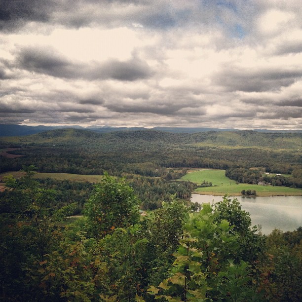
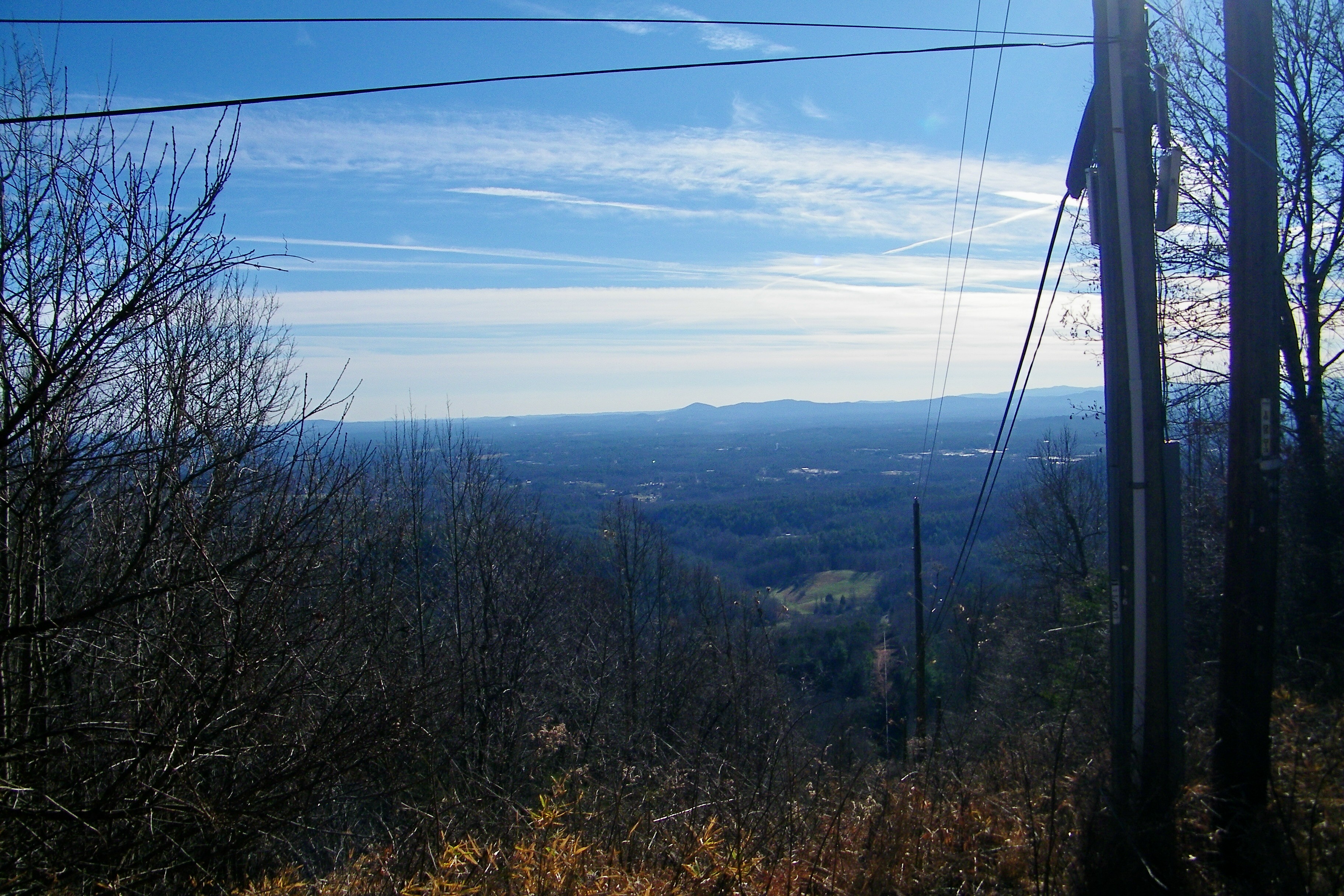
view after a 20 minute up hill hike.

[Full View] Old Hat, Downtown Lenoir, Jonathan Cox Photoshoot
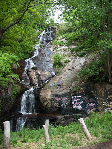
Waterfall Road waterfall - Part 2
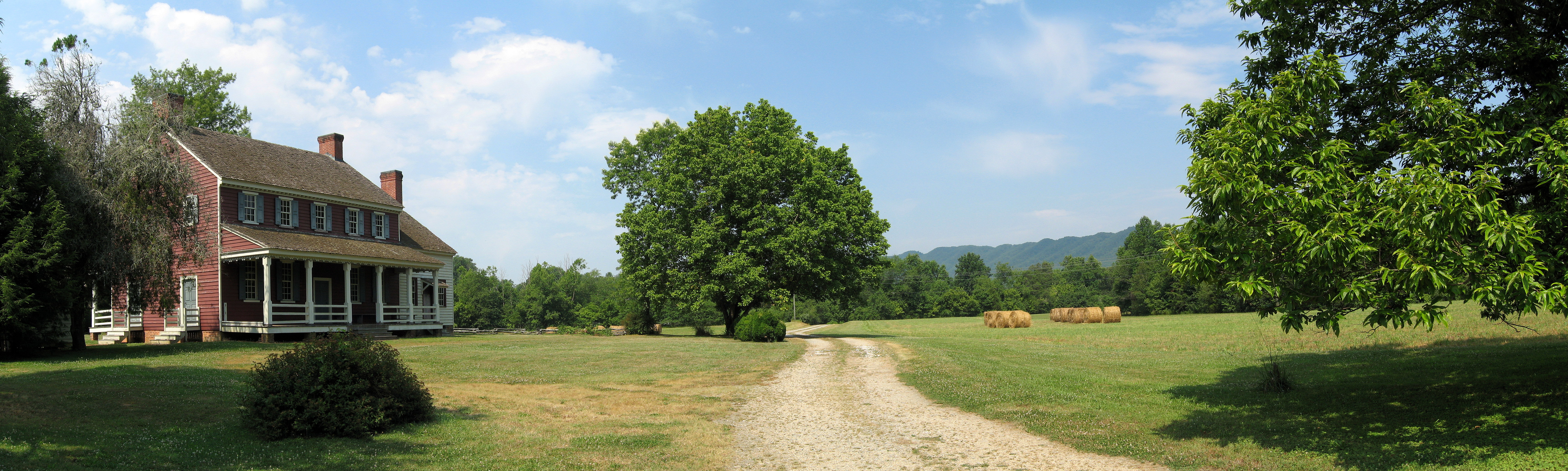
Fort Defiance
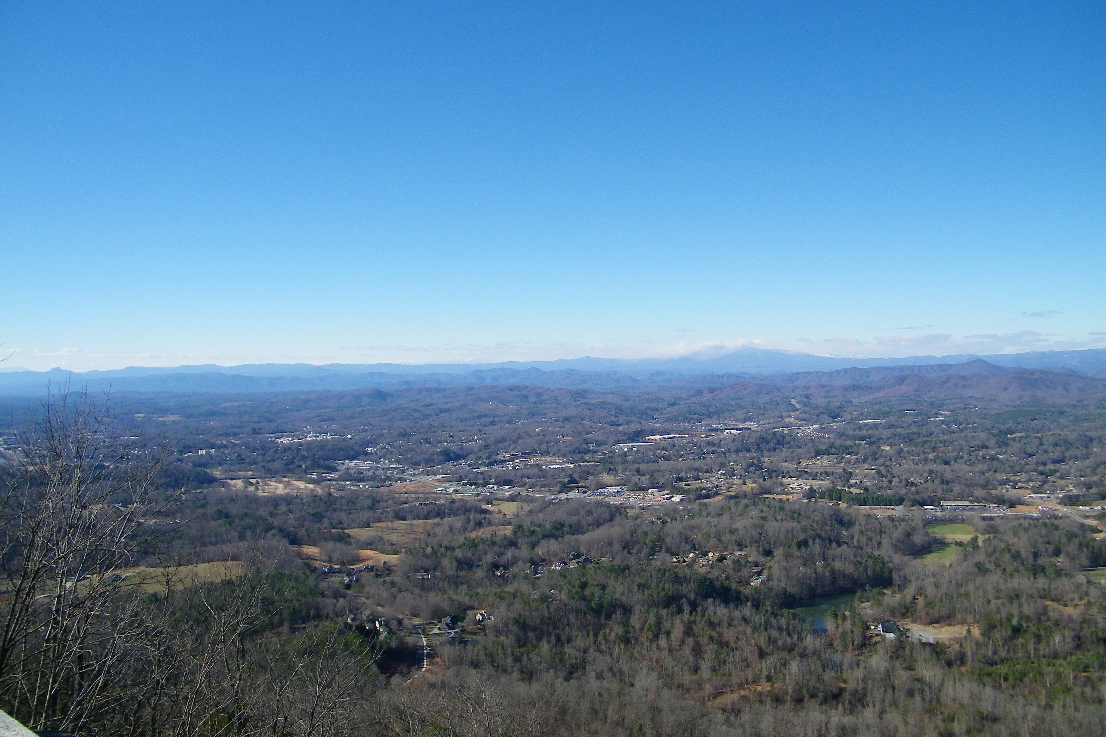
Hibriten Mountain
Hibriten Mountain
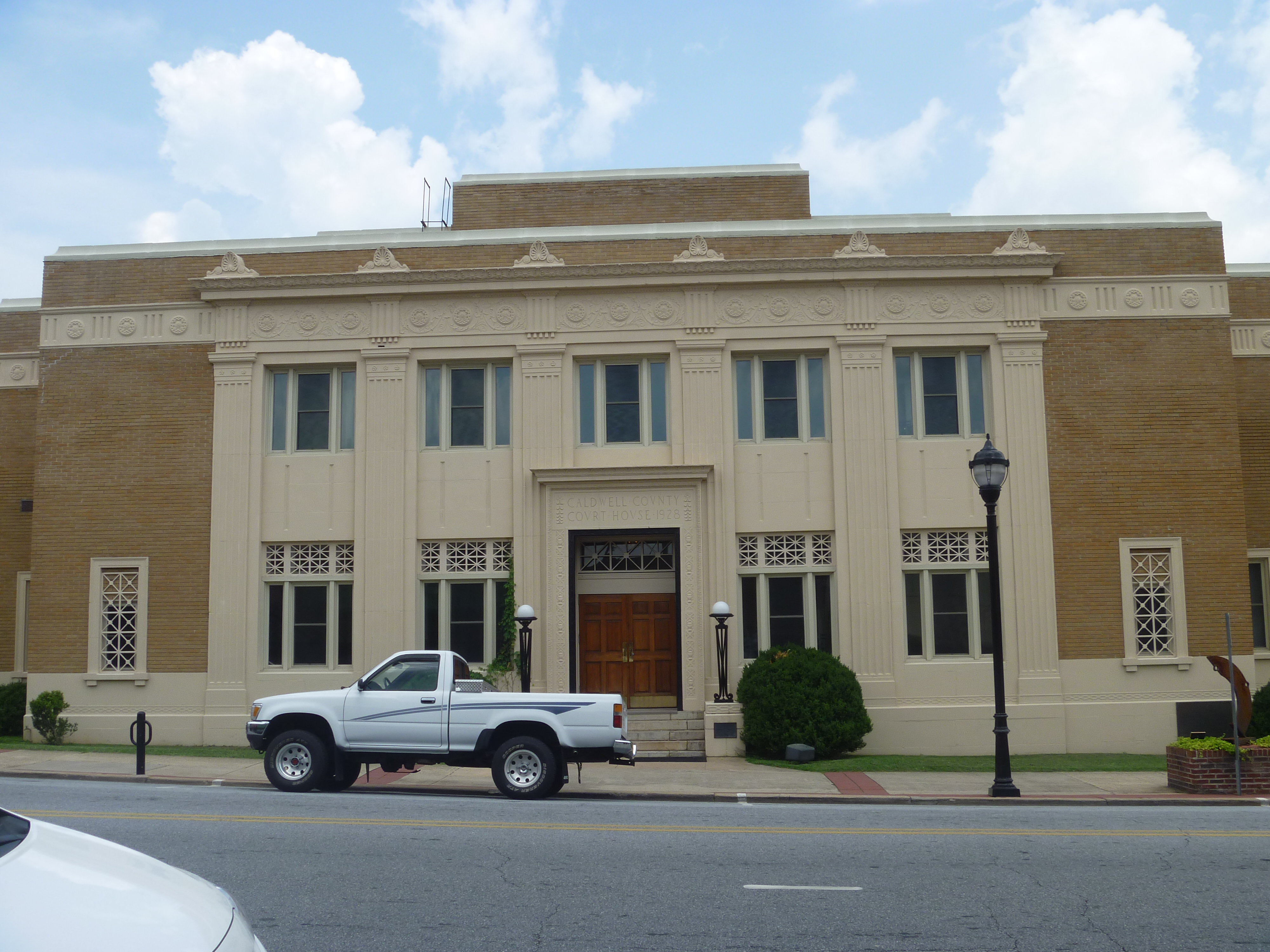
Front View, Caldwell County Courthouse
warmer weather is always welcome!!!

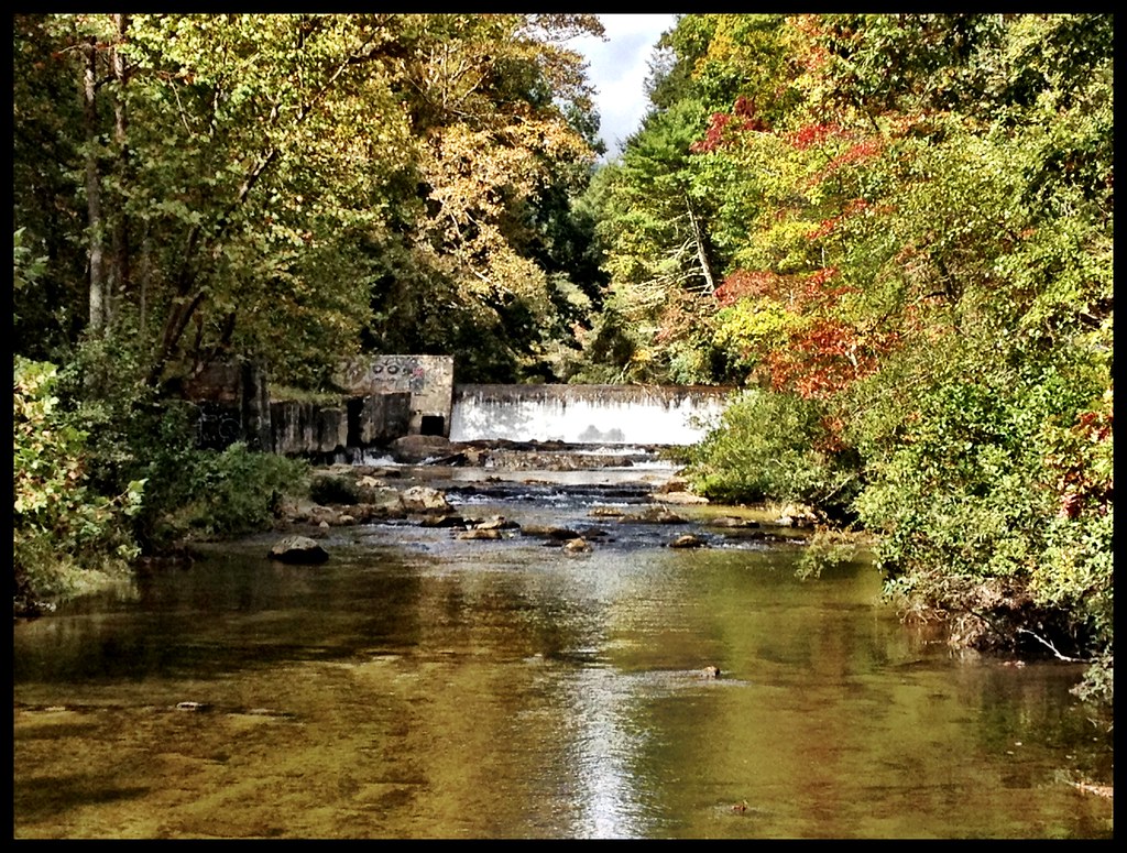
Gentle Flows
Watch Your Step! 262/365
Crystal Falls
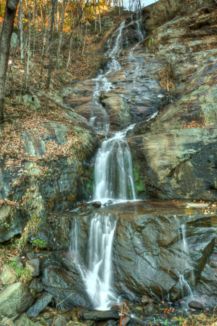
Silvervale Falls

tgiving-20081128-h1606a
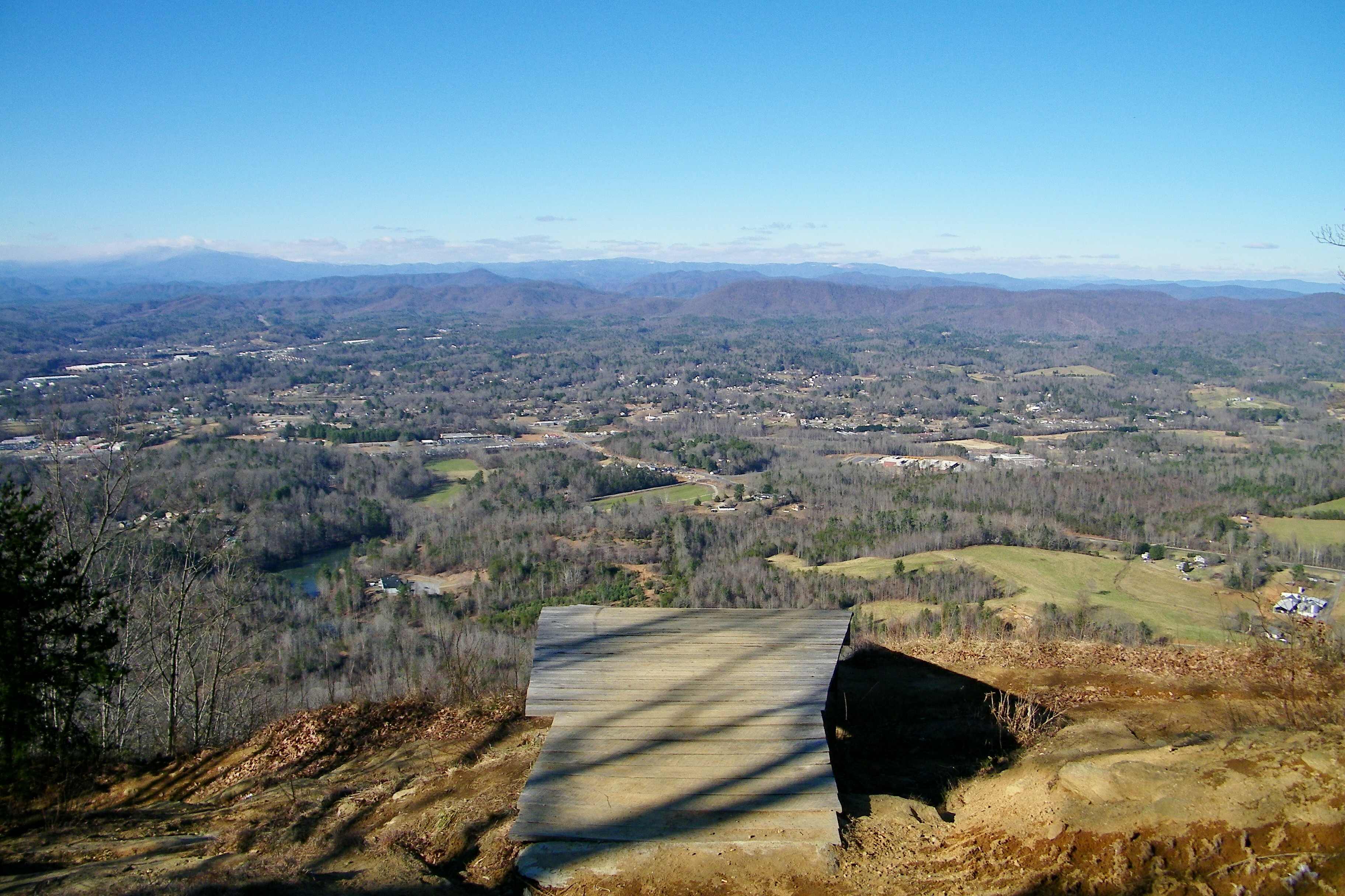
Hibriten Mountain
Topographic Map of Valley Dr, Lenoir, NC, USA
Find elevation by address:

Places near Valley Dr, Lenoir, NC, USA:
Valley Drive
5076 Bear Run
4970 Deer Run
3626 Highland Meadows Way
4634 Quail Run
4638 Quail Run
3281 Zacks Fork Rd
3381 Bluegrass Pl
3778 Rosewood Mountain Ln
3360 Blue Creek Rd
3360 Blue Creek Rd
4943 Piney Branch Ln
Wilkesboro Blvd, Lenoir, NC, USA
2723 Nc-268
Yadkin Valley
Kings Creek
Yadkin Valley
4440 Yadkin View Dr
Valley Court
Kings Creek
Recent Searches:
- Elevation of Kreuzburger Weg 13, Düsseldorf, Germany
- Elevation of Gateway Blvd SE, Canton, OH, USA
- Elevation of East W.T. Harris Boulevard, E W.T. Harris Blvd, Charlotte, NC, USA
- Elevation of West Sugar Creek, Charlotte, NC, USA
- Elevation of Wayland, NY, USA
- Elevation of Steadfast Ct, Daphne, AL, USA
- Elevation of Lagasgasan, X+CQH, Tiaong, Quezon, Philippines
- Elevation of Rojo Ct, Atascadero, CA, USA
- Elevation of Flagstaff Drive, Flagstaff Dr, North Carolina, USA
- Elevation of Avery Ln, Lakeland, FL, USA