Elevation of Valders, WI, USA
Location: United States > Wisconsin > Manitowoc County >
Longitude: -87.884258
Latitude: 44.0661044
Elevation: 257m / 843feet
Barometric Pressure: 98KPa
Elevation Map:
Satellite Map:
Related Photos:
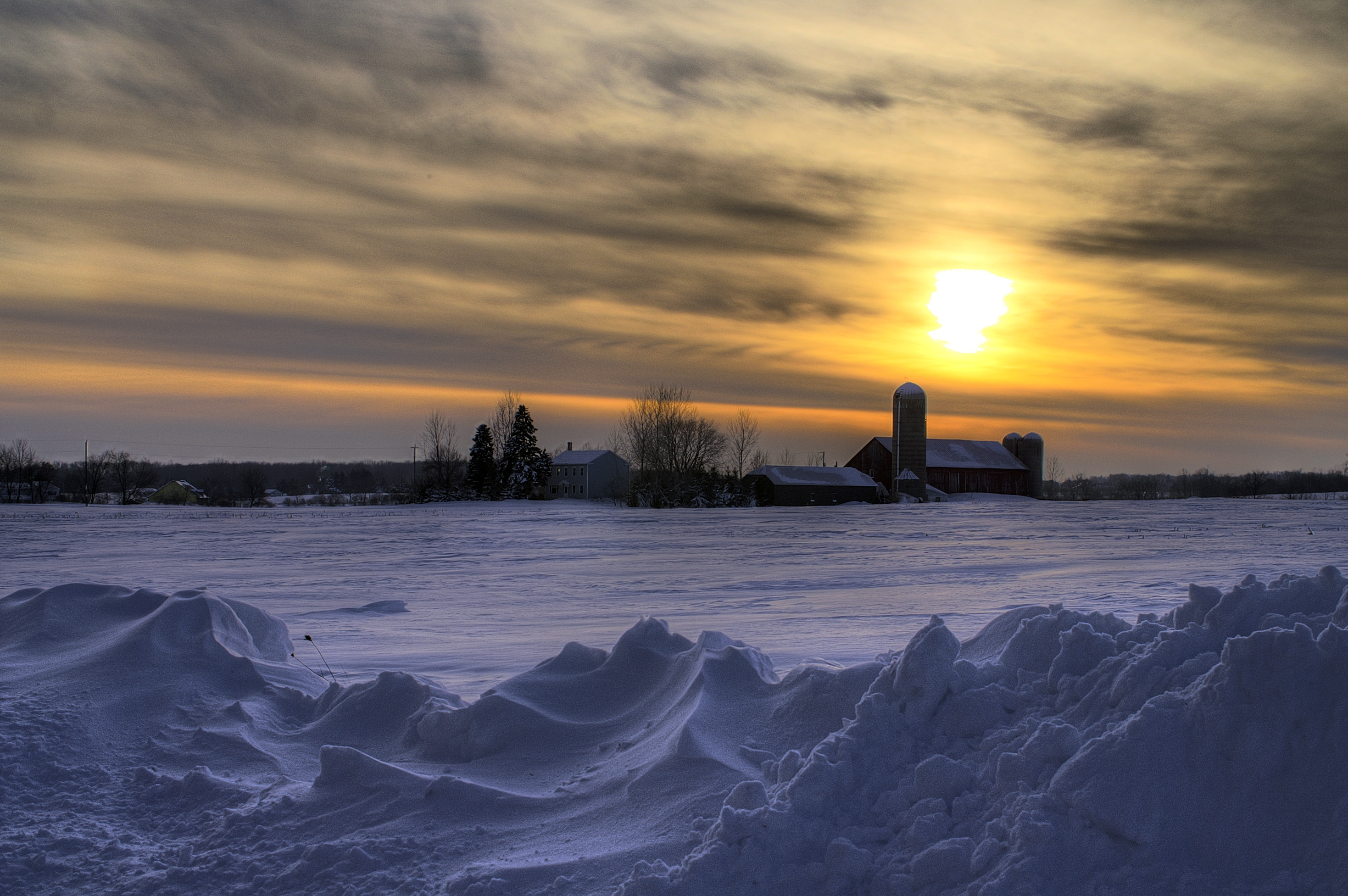
Wisconsin Farm Winter Sunset PICT4029_30_31_tonemapped

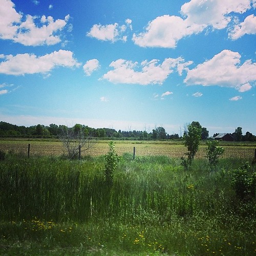
View from the car window, November 2014.
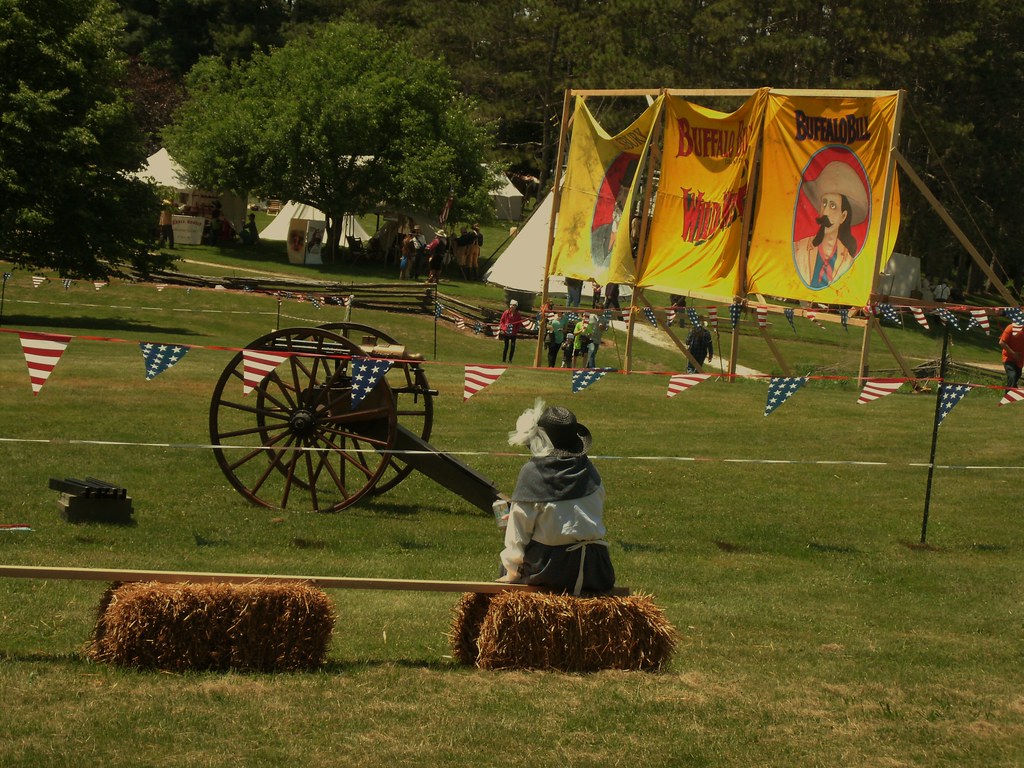
Gatling Gun..

Former Lums (now Friar Tuck's Sandwiches & Cocktails), Manitowoc, WI

C&NW Kaukauna-Manitowoc RR branch
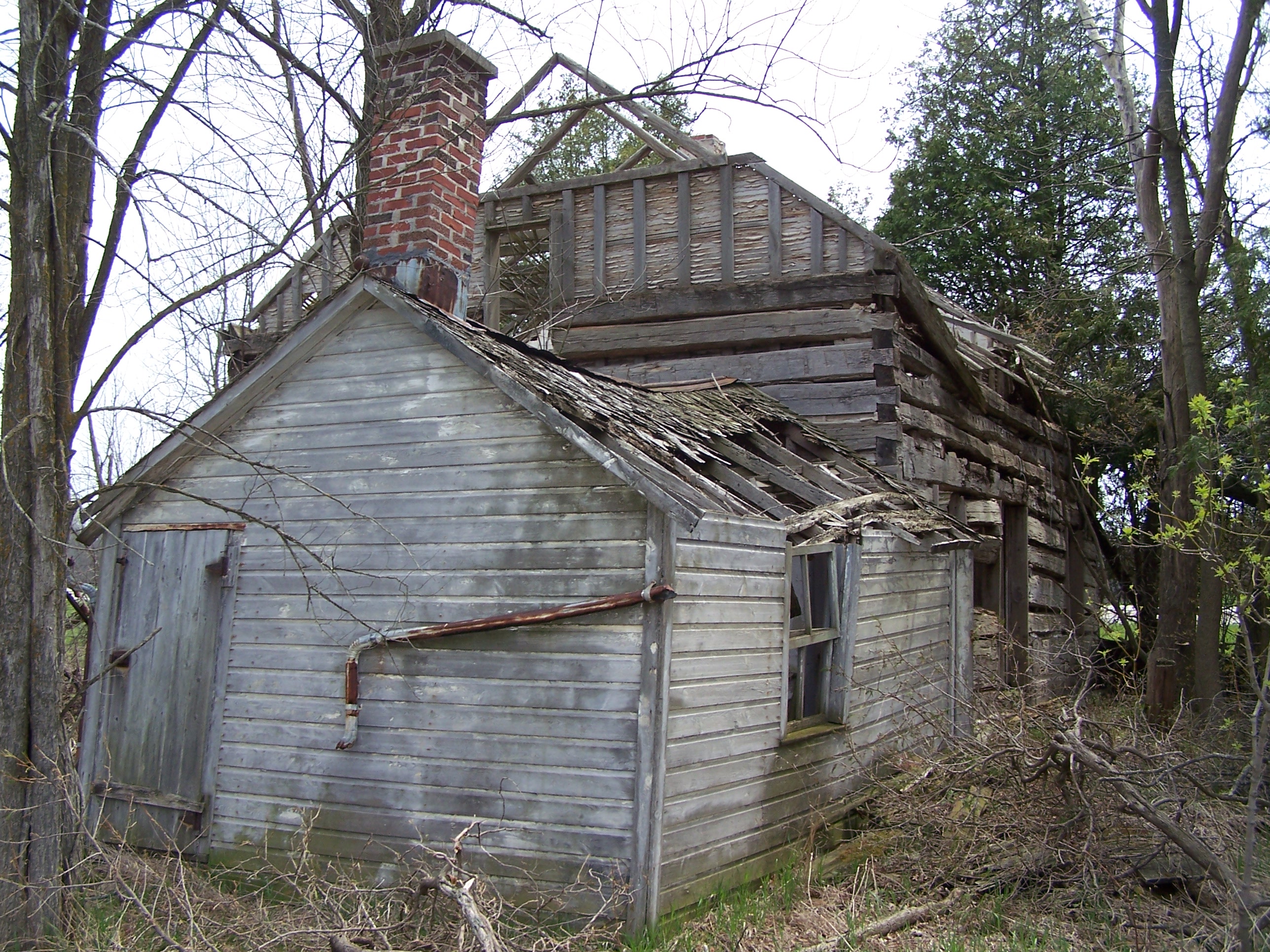
County "C" abandoned farm

Family Cinema, Manitowoc, WI

C&NW Kaukauna-Manitowoc RR sixth

C&NW Kaukauna-Manitowoc RR oakwood east

Town of Manitowoc Rapids "municipal" building

Newton, Wisconsin

1966-67 Chevrolet Series 80 dump truck

C&NW Kaukauna-Manitowoc RR hickory

vibrant colors

C&NW Kaukauna-Manitowoc RR third
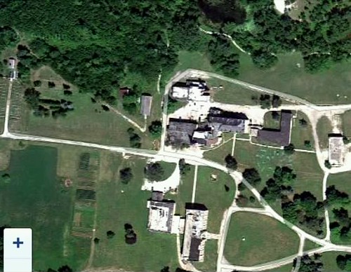
...a satelite view St Nazian Seminary

such a n00b [{week 1}]

slant route

oldie but a goodie

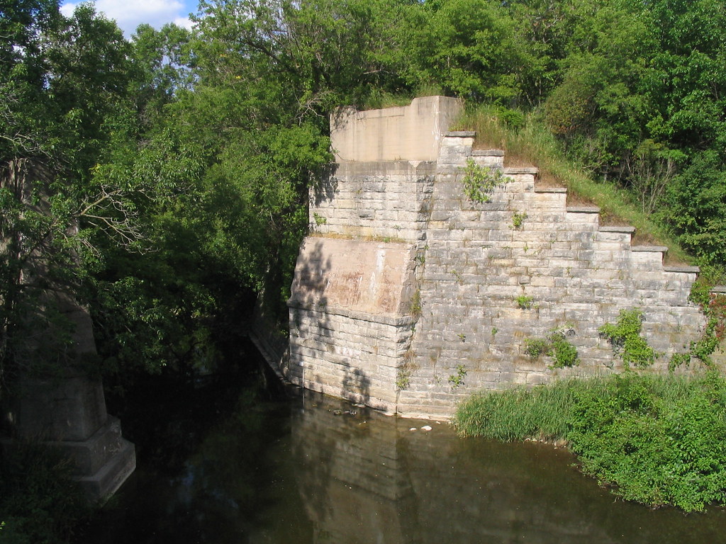
C&NW Kaukauna-Manitowoc RR railroad bridge abutments
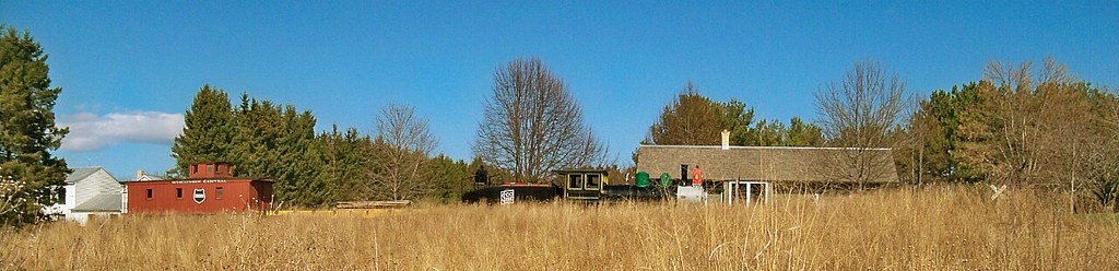
Pinecrest Historical Village
Face it Cato Falls

#farm
DSC_9535-20111009
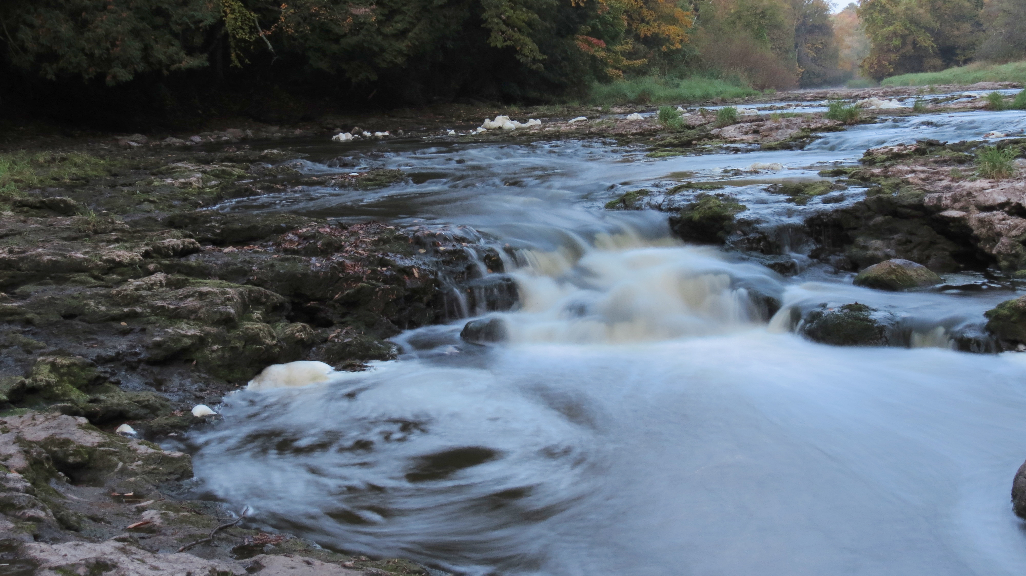
12. Lower Cato Falls
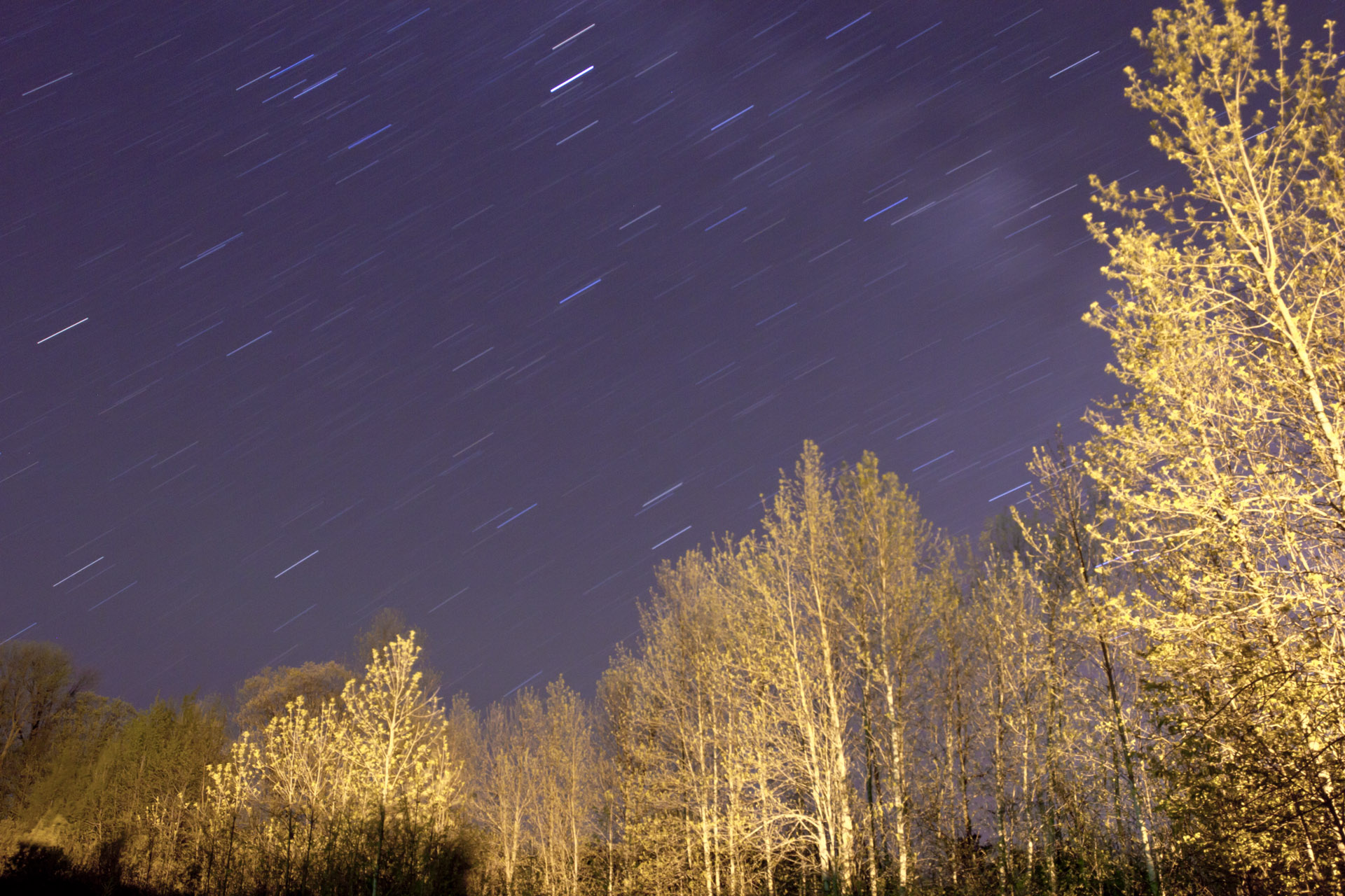
Long exposure star trails

20140205-IMG_6050-Edit.jpg
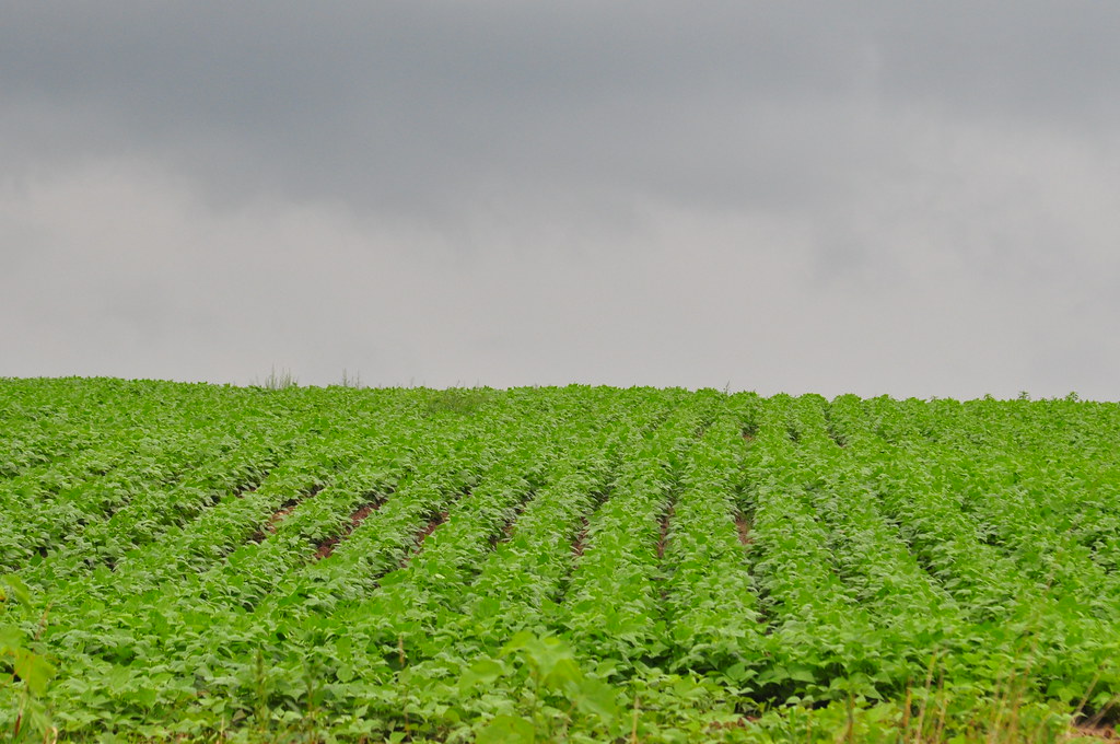
Field and sky

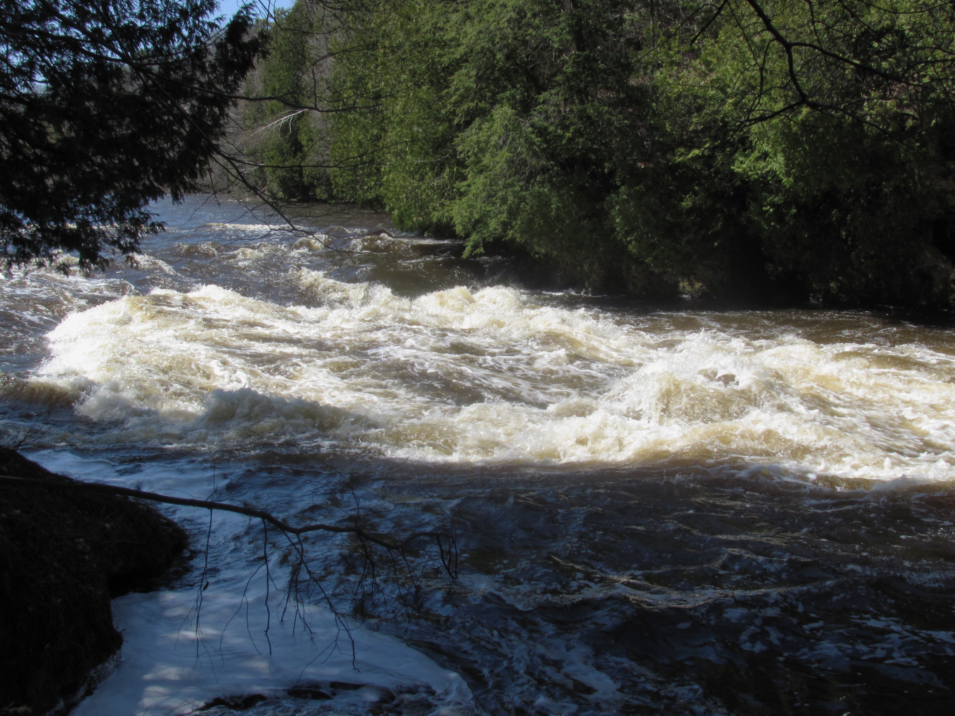
branch river

abandoned drive in pavillion
Railroad bridge remnants, Branch, WI

Stop Ahead near Branch, WI
Road trip! Half way to Oconto Falls :)
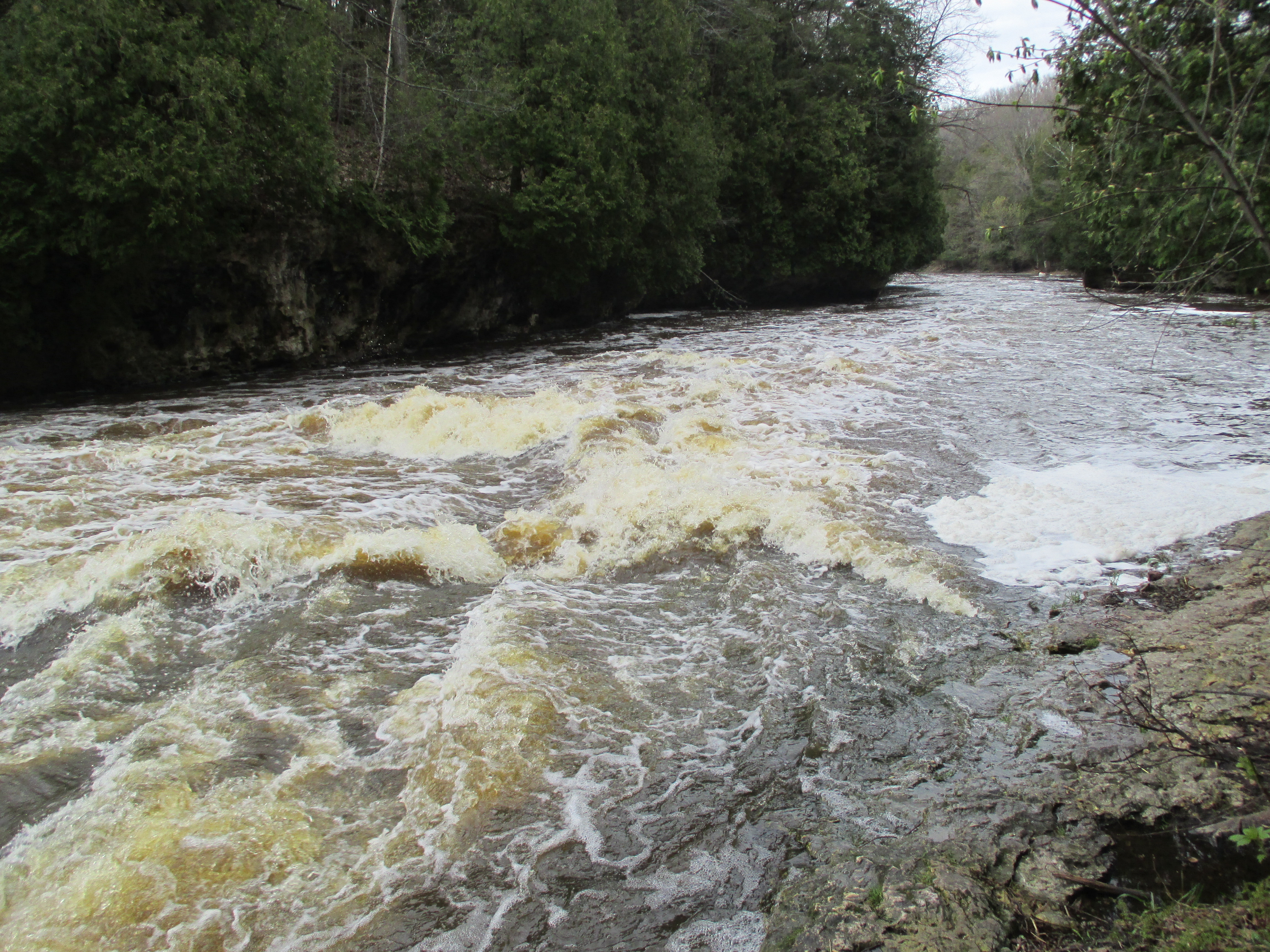
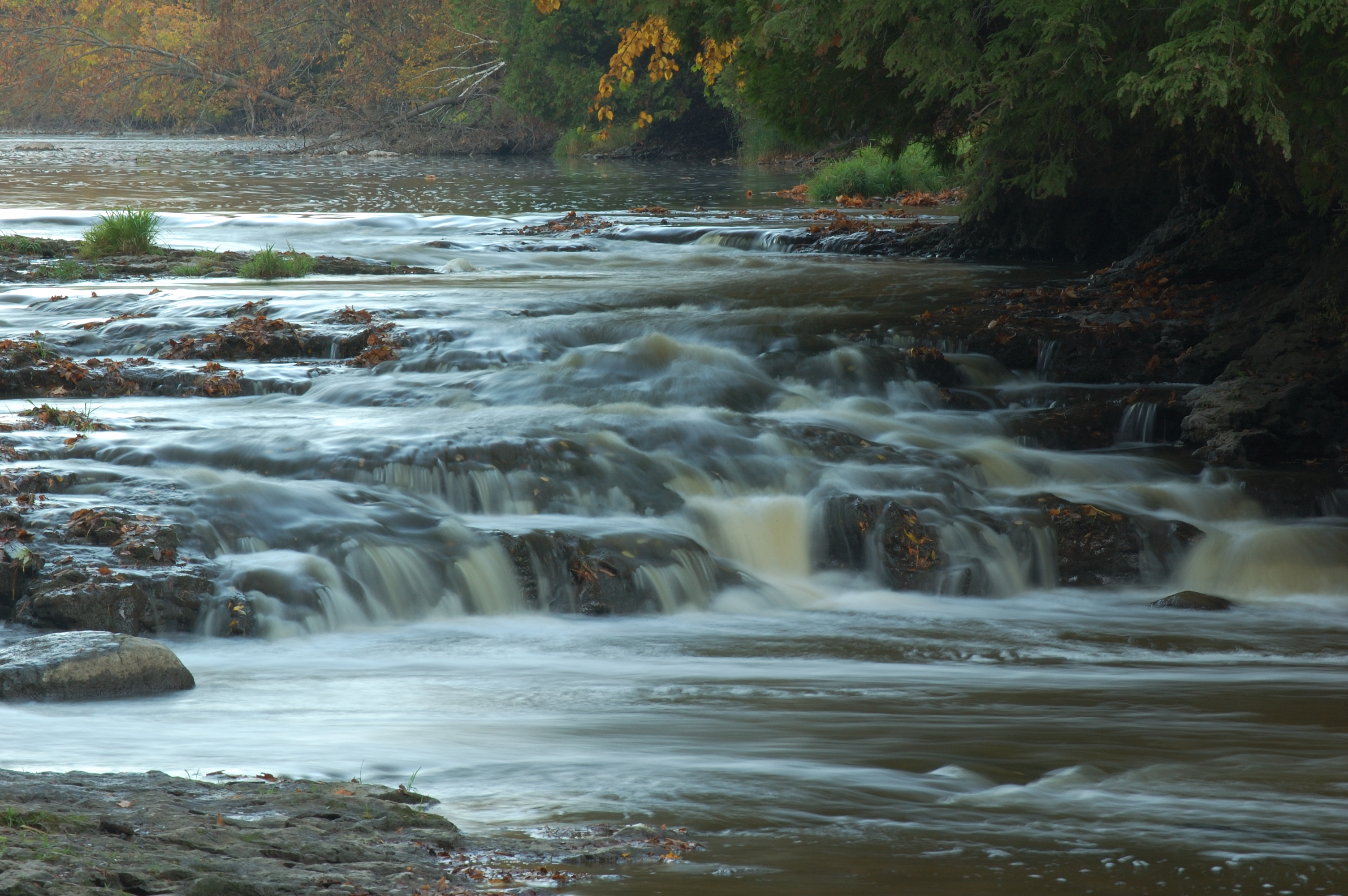
Cato Falls

Collins Marsh Wildlife Area observation tower

Abandoned railroad tracks, Valders, WI

Survey marker and remains of the Kaukauna-Manitowoc branch

silos and sunset
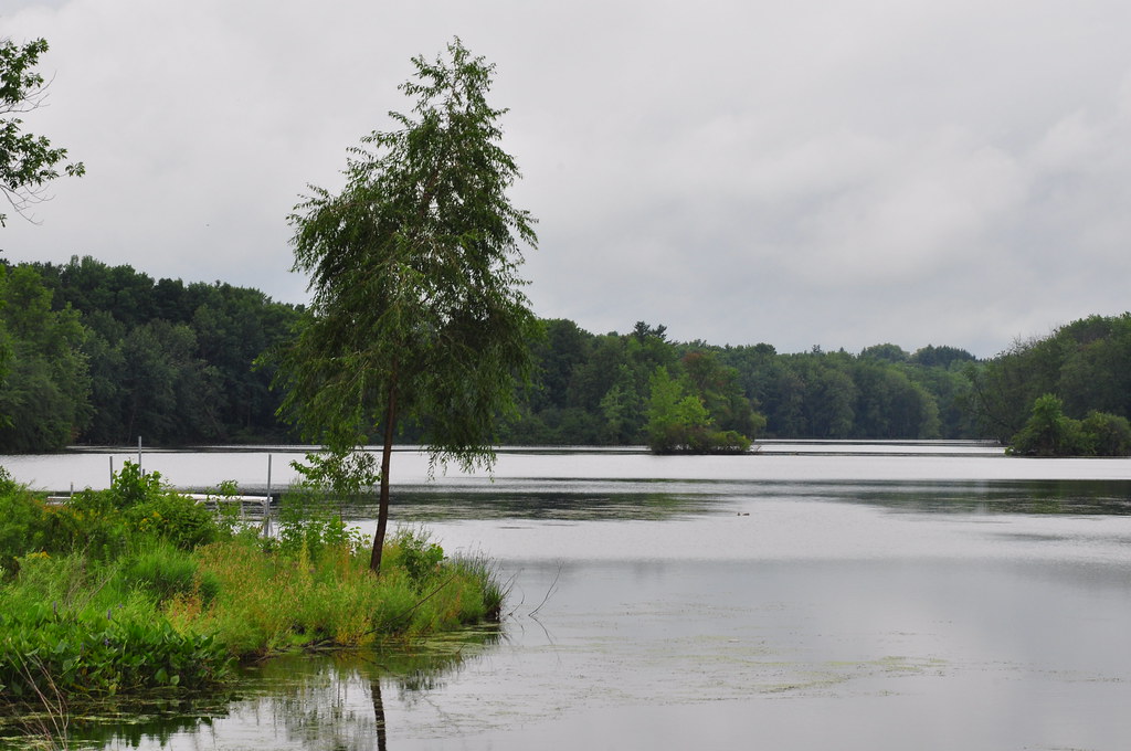
Silver Lake
Topographic Map of Valders, WI, USA
Find elevation by address:

Places in Valders, WI, USA:
Places near Valders, WI, USA:
Washington St, Valders, WI, USA
Halverson Ln, Reedsville, WI, USA
English Lake Rd, Manitowoc, WI, USA
WI-42, Newton, WI, USA
Manitowoc County
Manitowoc County
English Lake Rd, Manitowoc, WI, USA
Newton
6124 Calumet Ave
6124 Calumet Ave
6124 Calumet Ave
6114 Calumet Ave
6260 Vits Dr
Newton
4620 Silver Creek Rd
Baer Rd, Valders, WI, USA
4119 Archer St
3935 Spring Hill Dr
825 Woodlawn Dr
3910 Waldo Blvd
Recent Searches:
- Elevation of Corso Fratelli Cairoli, 35, Macerata MC, Italy
- Elevation of Tallevast Rd, Sarasota, FL, USA
- Elevation of 4th St E, Sonoma, CA, USA
- Elevation of Black Hollow Rd, Pennsdale, PA, USA
- Elevation of Oakland Ave, Williamsport, PA, USA
- Elevation of Pedrógão Grande, Portugal
- Elevation of Klee Dr, Martinsburg, WV, USA
- Elevation of Via Roma, Pieranica CR, Italy
- Elevation of Tavkvetili Mountain, Georgia
- Elevation of Hartfords Bluff Cir, Mt Pleasant, SC, USA