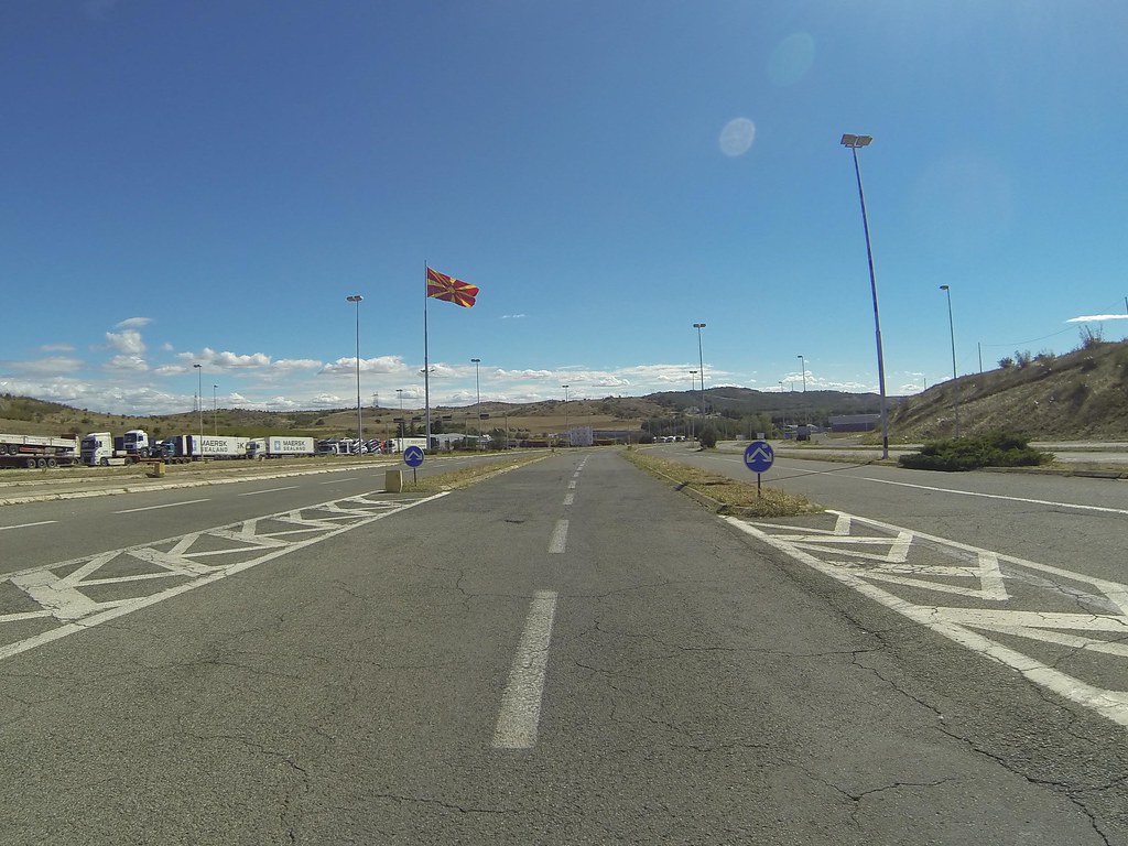
Elevation of Valandovo, Macedonia (FYROM)
Location: Macedonia (fyrom) >
Longitude: 22.5617585
Latitude: 41.3169713
Elevation: 125m / 410feet
Barometric Pressure: 100KPa
Elevation Map:
Satellite Map:
Related Photos:
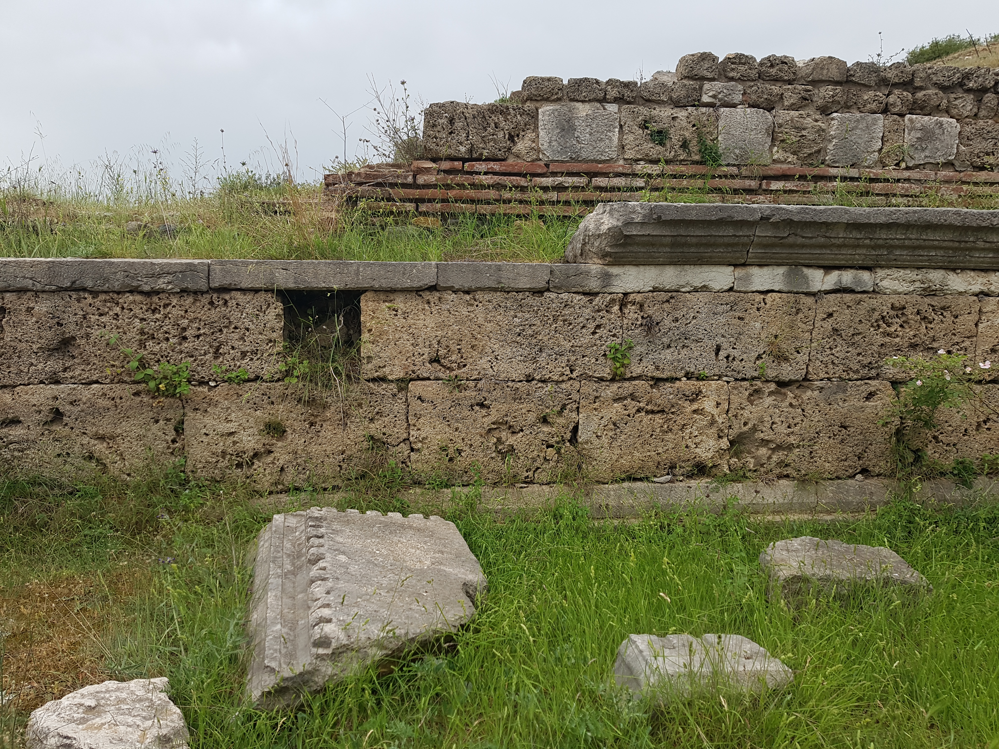
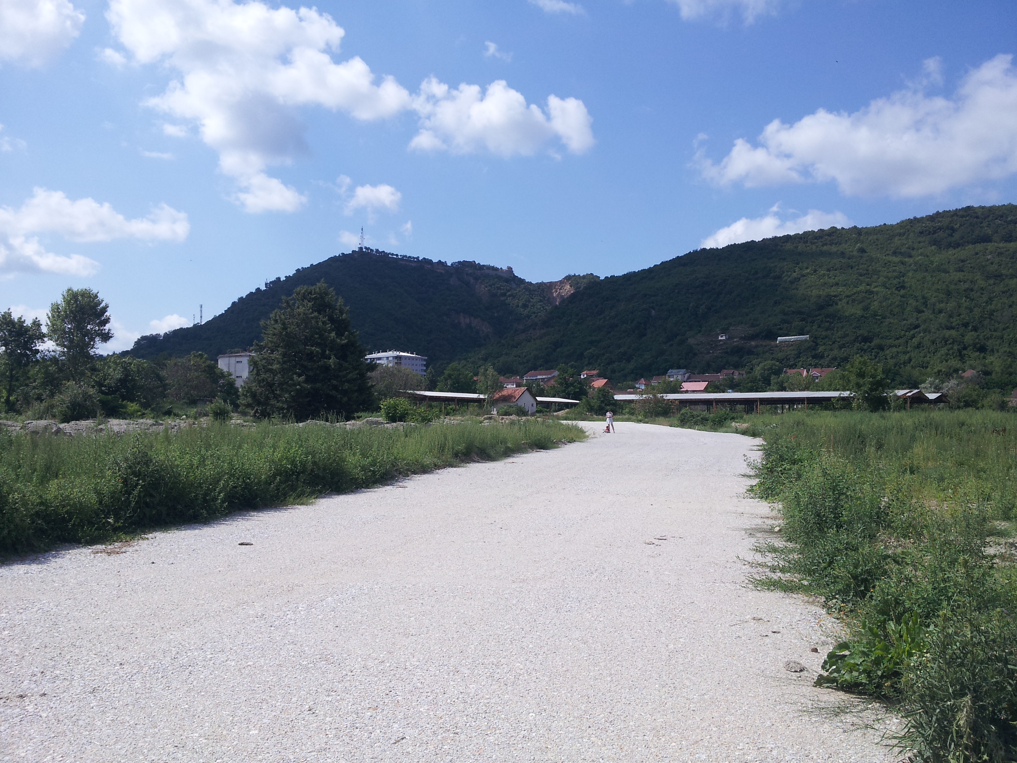
Isar-Marvintsi archaeological site, 5th century BC - end of the Roman era

Isar-Marvintsi archaeological site, 5th century BC - end of the Roman era
Isar-Marvintsi archaeological site, 5th century BC - end of the Roman era
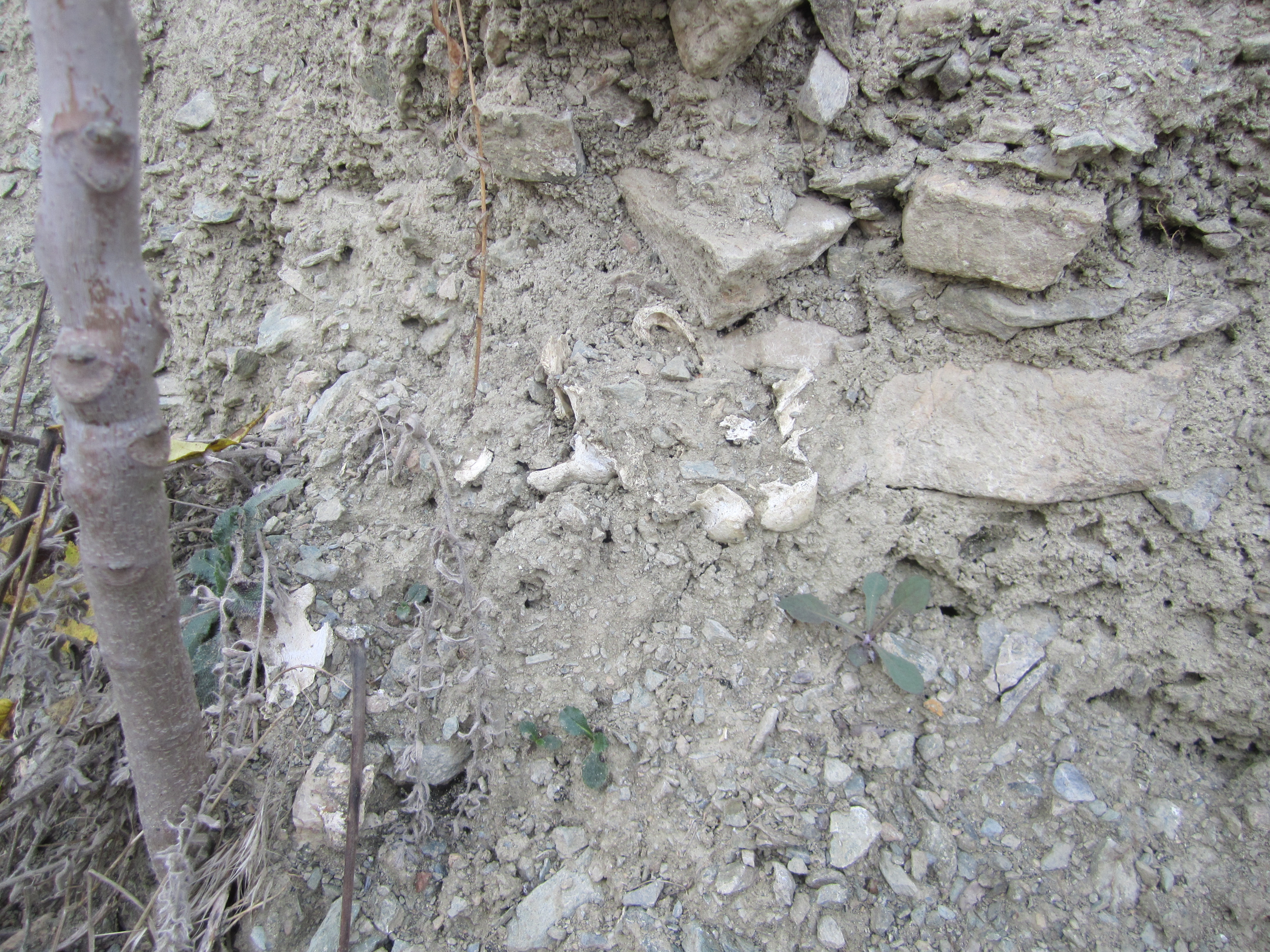
Visible bone of a soldier's old skeleton (→ description)
Isar-Marvintsi archaeological site, 5th century BC - end of the Roman era
Samo su brda ista
Nesting Land
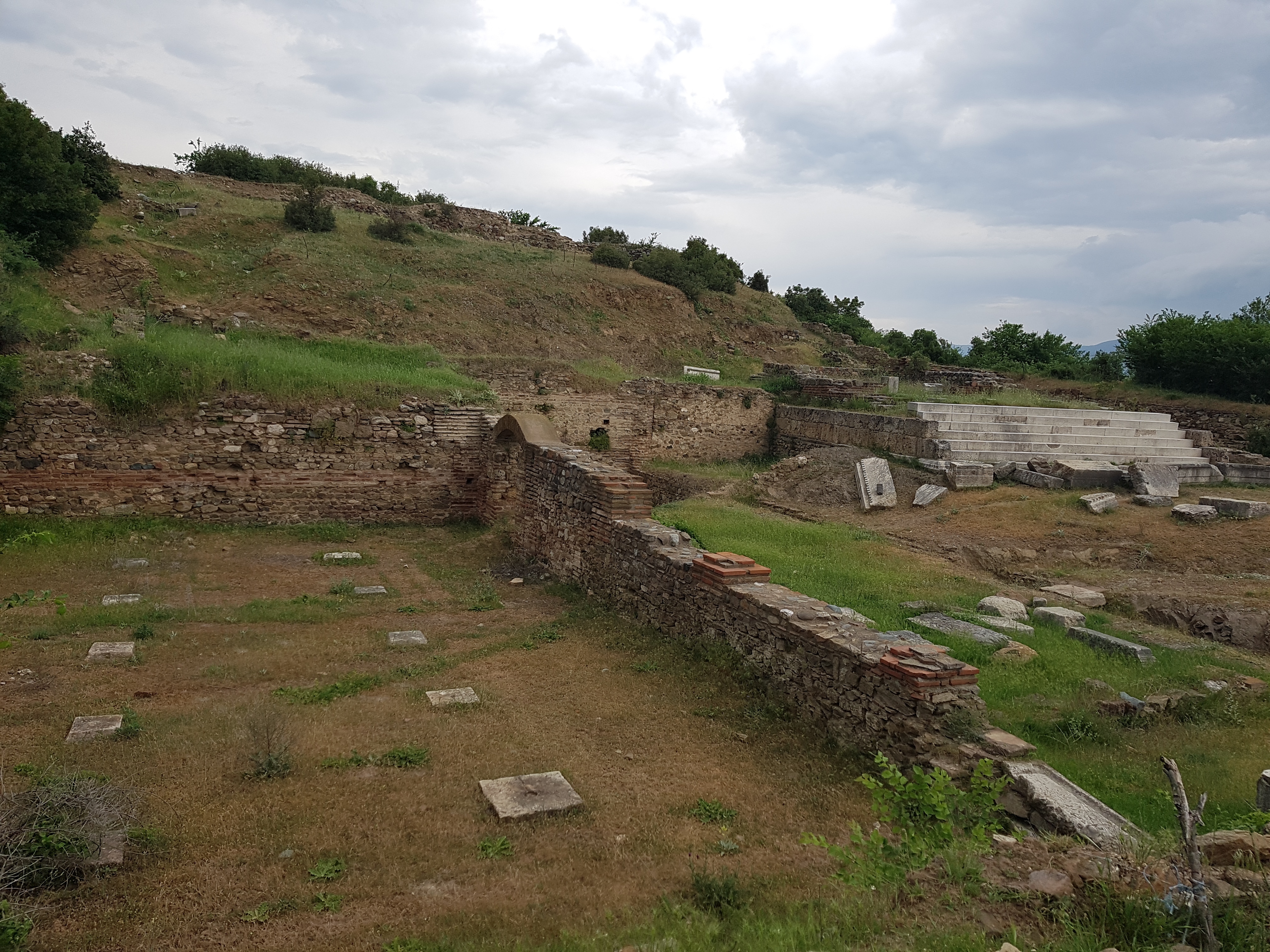
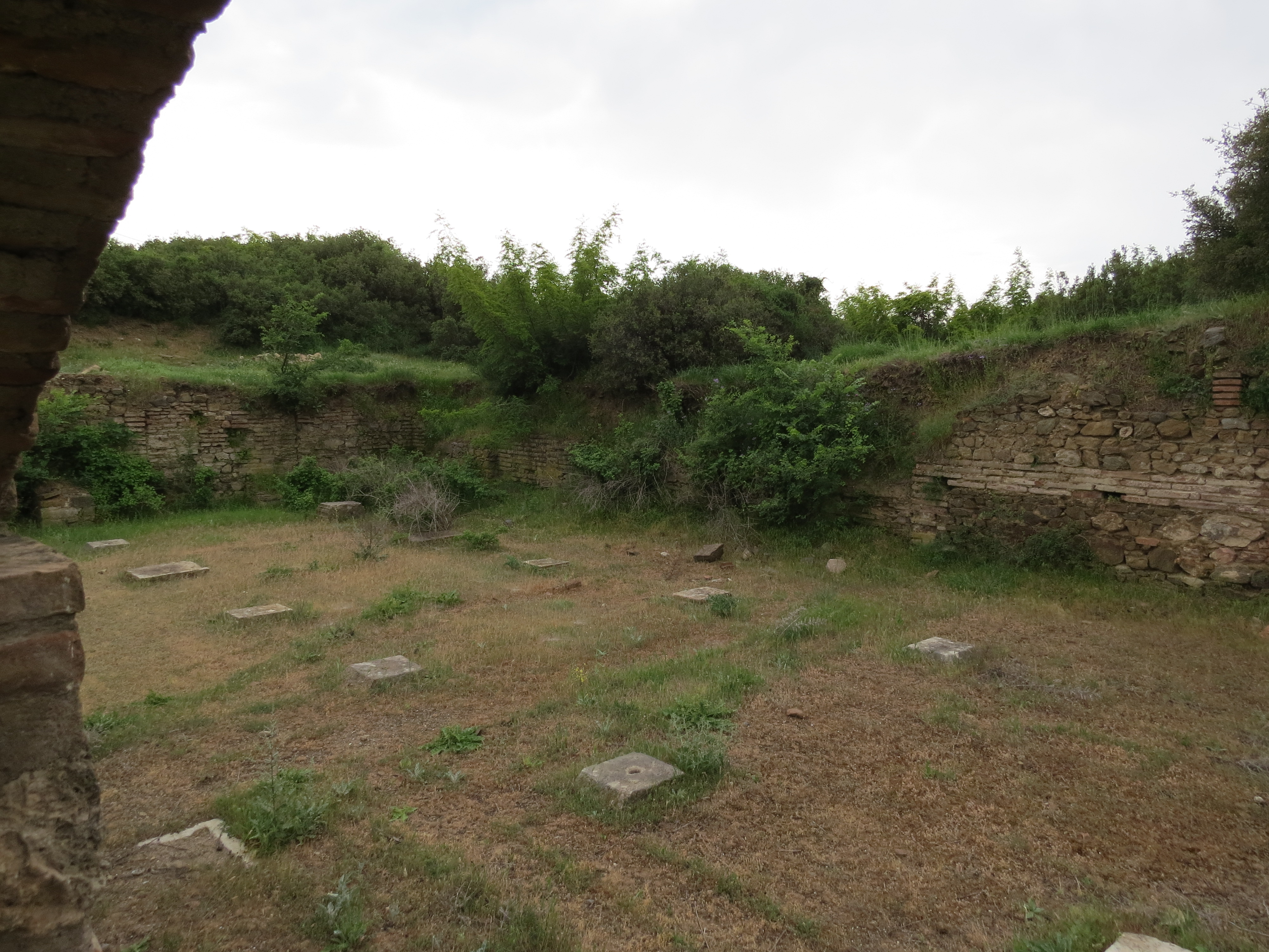
Isar-Marvintsi archaeological site, 5th century BC - end of the Roman era
GOPR2020.jpg

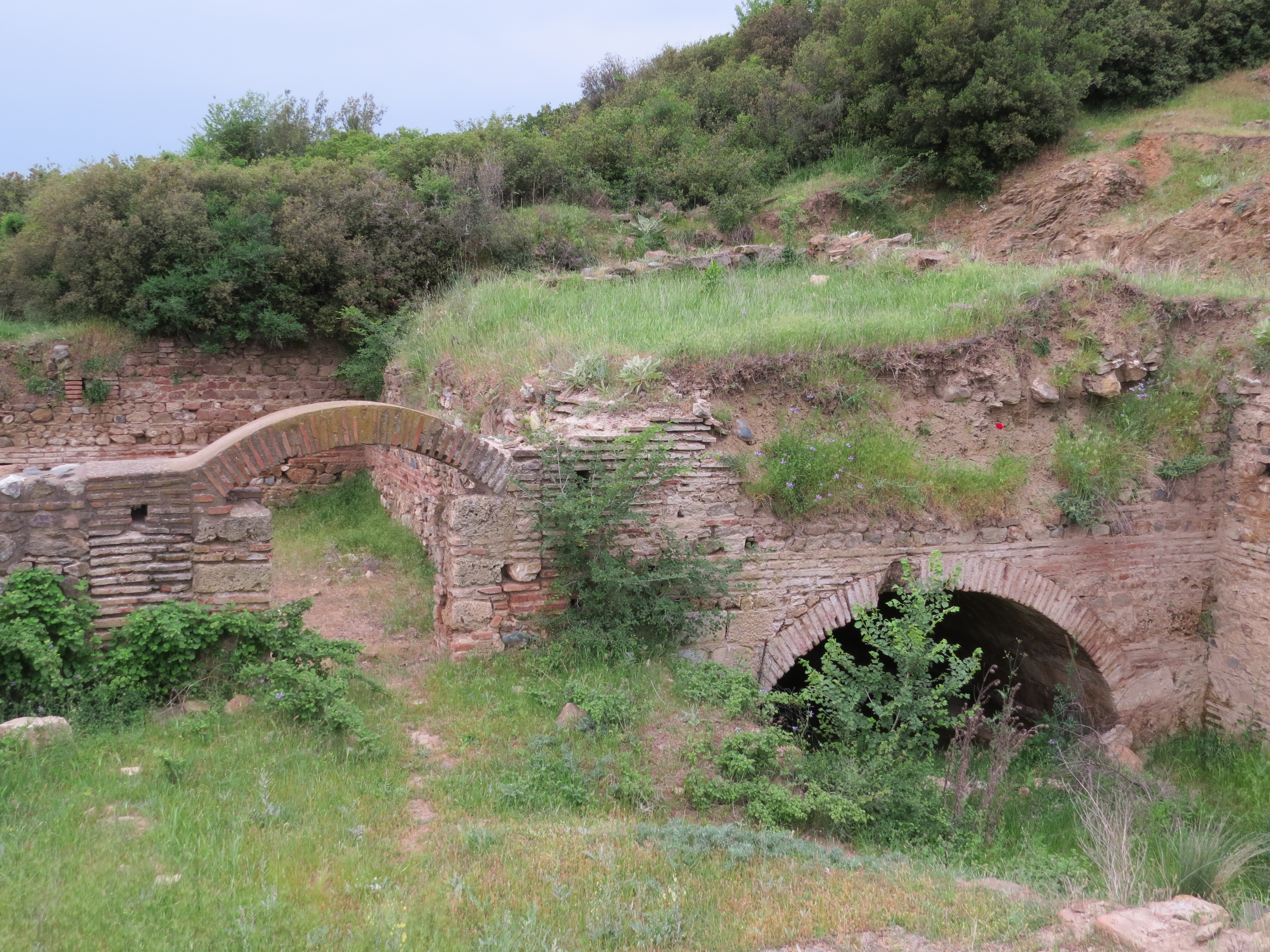
Carevi kuli ("Czar's towers") (→ description)
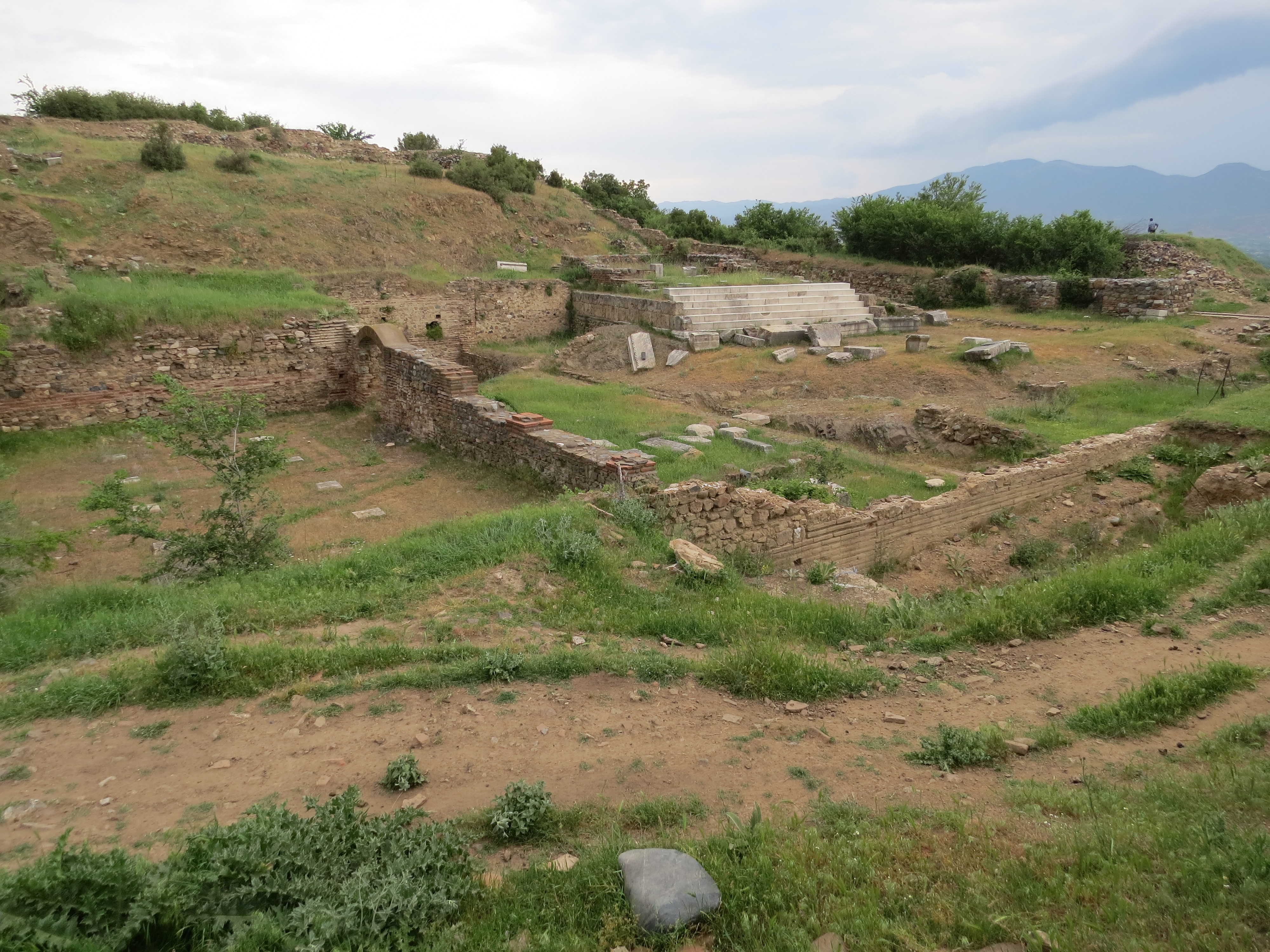
Isar-Marvintsi archaeological site, 5th century BC - end of the Roman era
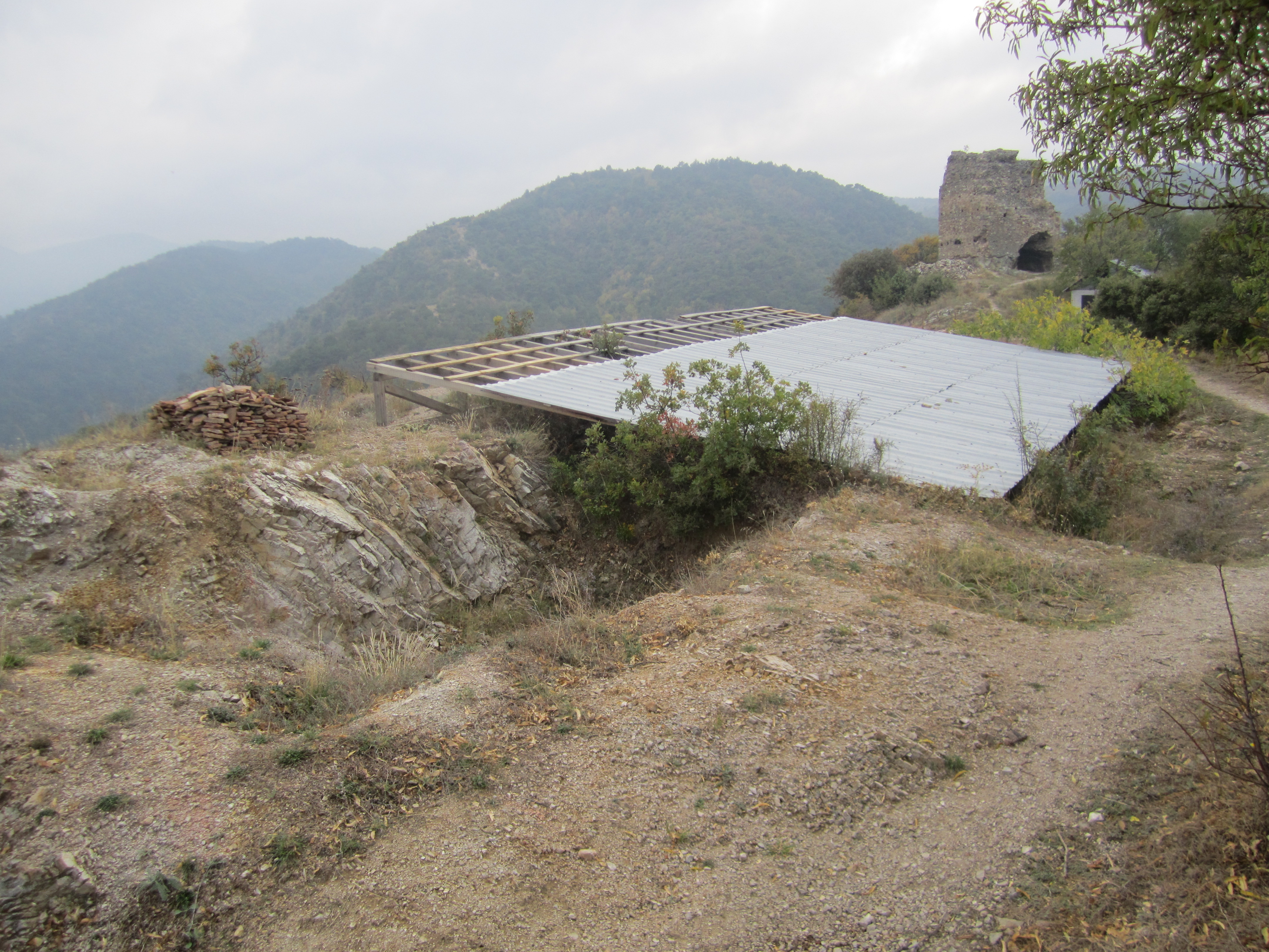
Carevi kuli ("Czar's towers") (→ description)
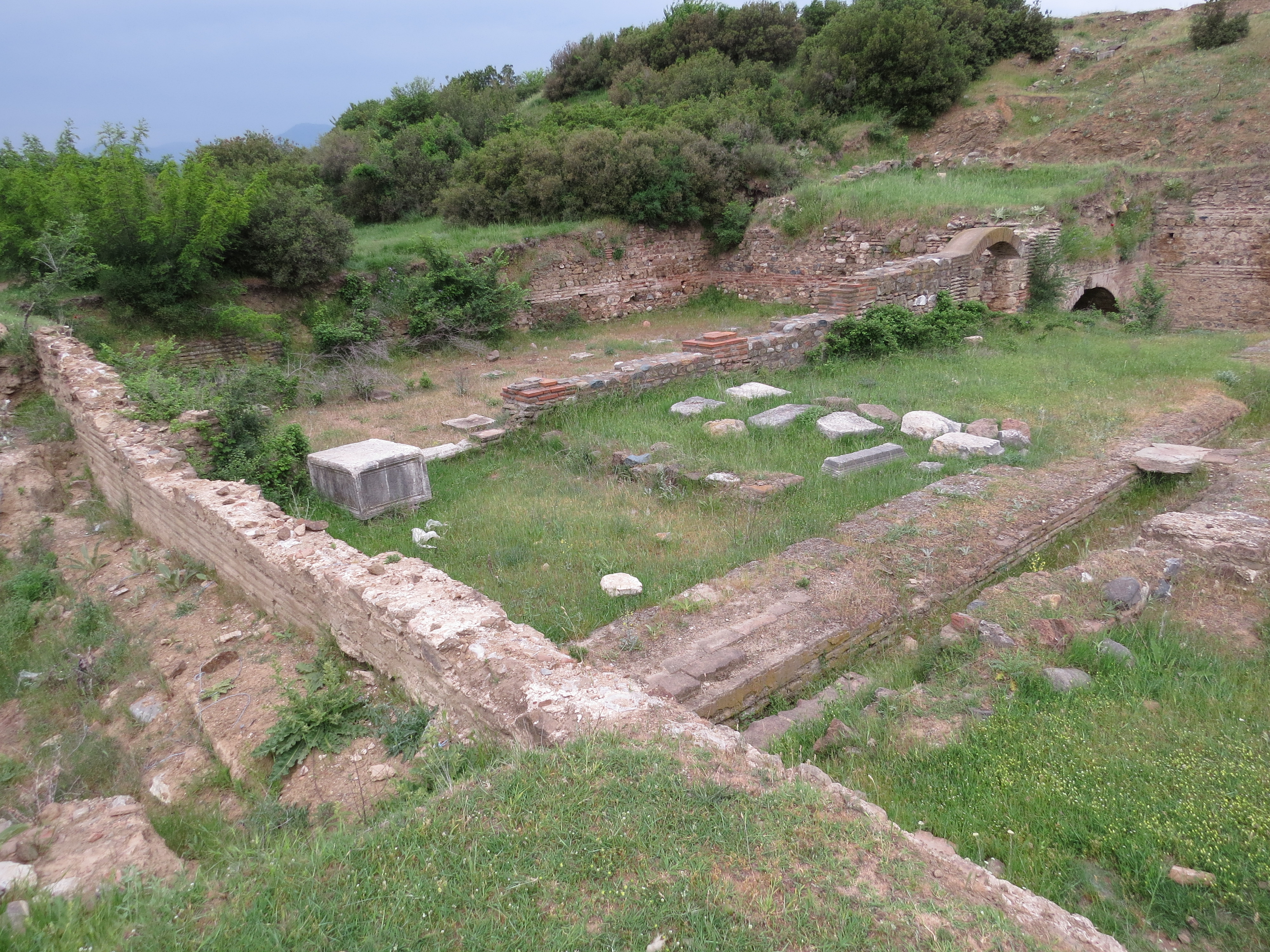
Isar-Marvintsi archaeological site, 5th century BC - end of the Roman era
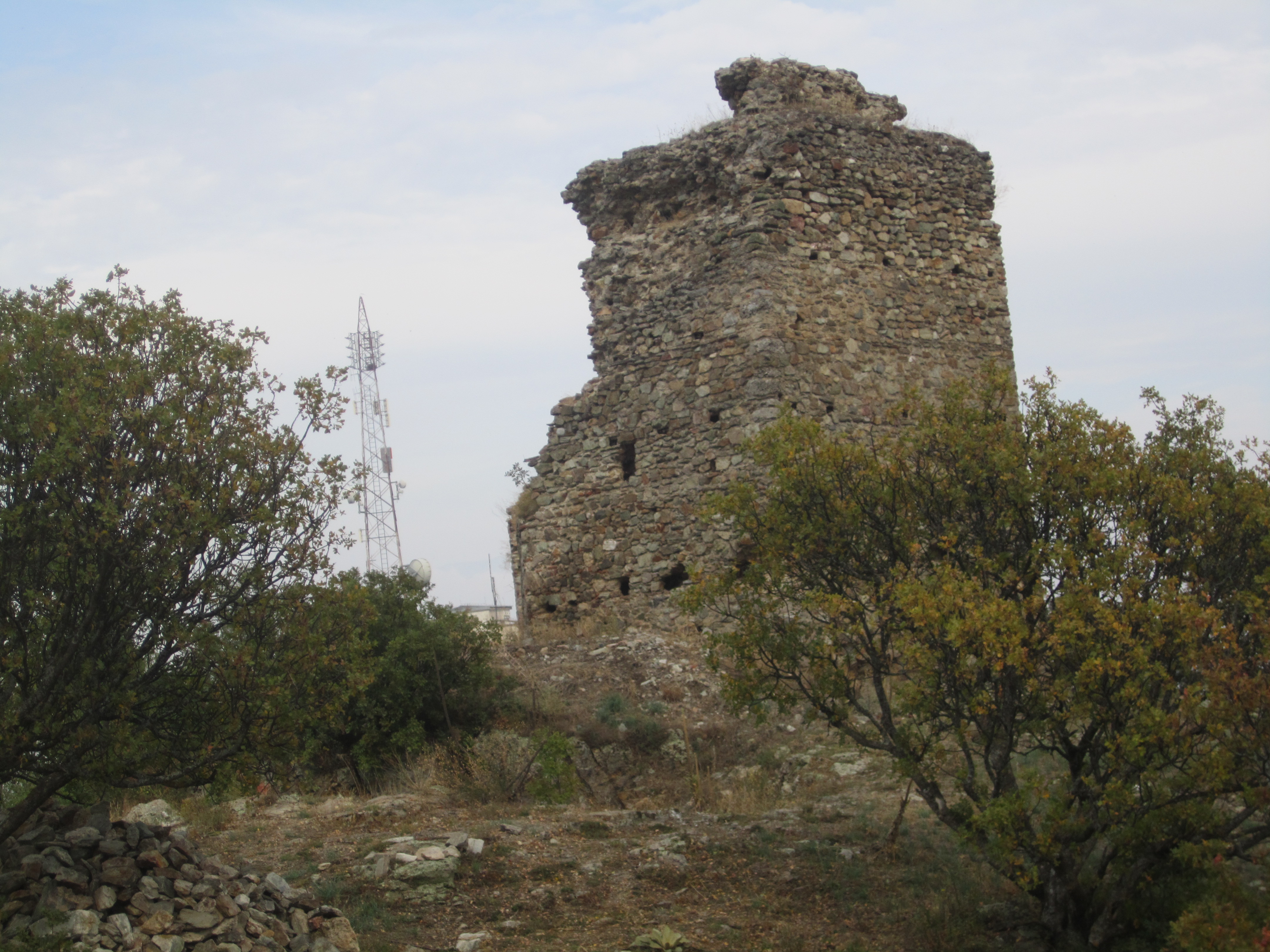
Carevi kuli ("Czar's towers") (→ description)
Topographic Map of Valandovo, Macedonia (FYROM)
Find elevation by address:

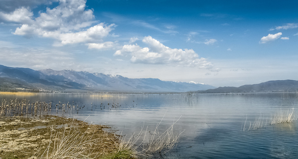
Places near Valandovo, Macedonia (FYROM):
Bogdantsi
Municipality Of Bogdanci
Municipality Of Dojran
Nov Dojran
Dojran Lake
Pontoiraklia
Polykastro Kilkis
Paionia
Axioupoli
Filippou 6, Axioupoli 00, Greece
Belasica
Kilkis
Kilkis
Kilkis
Agiou Georgiou 6, Kilkis 00, Greece
Kilkis
Kerkini
PEO Thessalonikis Evzonon, Chalkidona 11, Greece
Koufalia
Koufalia
Recent Searches:
- Elevation of Felindre, Swansea SA5 7LU, UK
- Elevation of Leyte Industrial Development Estate, Isabel, Leyte, Philippines
- Elevation of W Granada St, Tampa, FL, USA
- Elevation of Pykes Down, Ivybridge PL21 0BY, UK
- Elevation of Jalan Senandin, Lutong, Miri, Sarawak, Malaysia
- Elevation of Bilohirs'k
- Elevation of 30 Oak Lawn Dr, Barkhamsted, CT, USA
- Elevation of Luther Road, Luther Rd, Auburn, CA, USA
- Elevation of Unnamed Road, Respublika Severnaya Osetiya — Alaniya, Russia
- Elevation of Verkhny Fiagdon, North Ossetia–Alania Republic, Russia