Elevation of Vail Cut Off Rd SE, Rainier, WA, USA
Location: United States > Washington > Thurston County > Rainier >
Longitude: -122.68622
Latitude: 46.870626
Elevation: 149m / 489feet
Barometric Pressure: 100KPa
Elevation Map:
Satellite Map:
Related Photos:

Better Sky View
Panoramic of Mount Rainier
Tenino WWTP, bioreactor tankage
Rear view mirror
Tenino MBR Permeate Pump
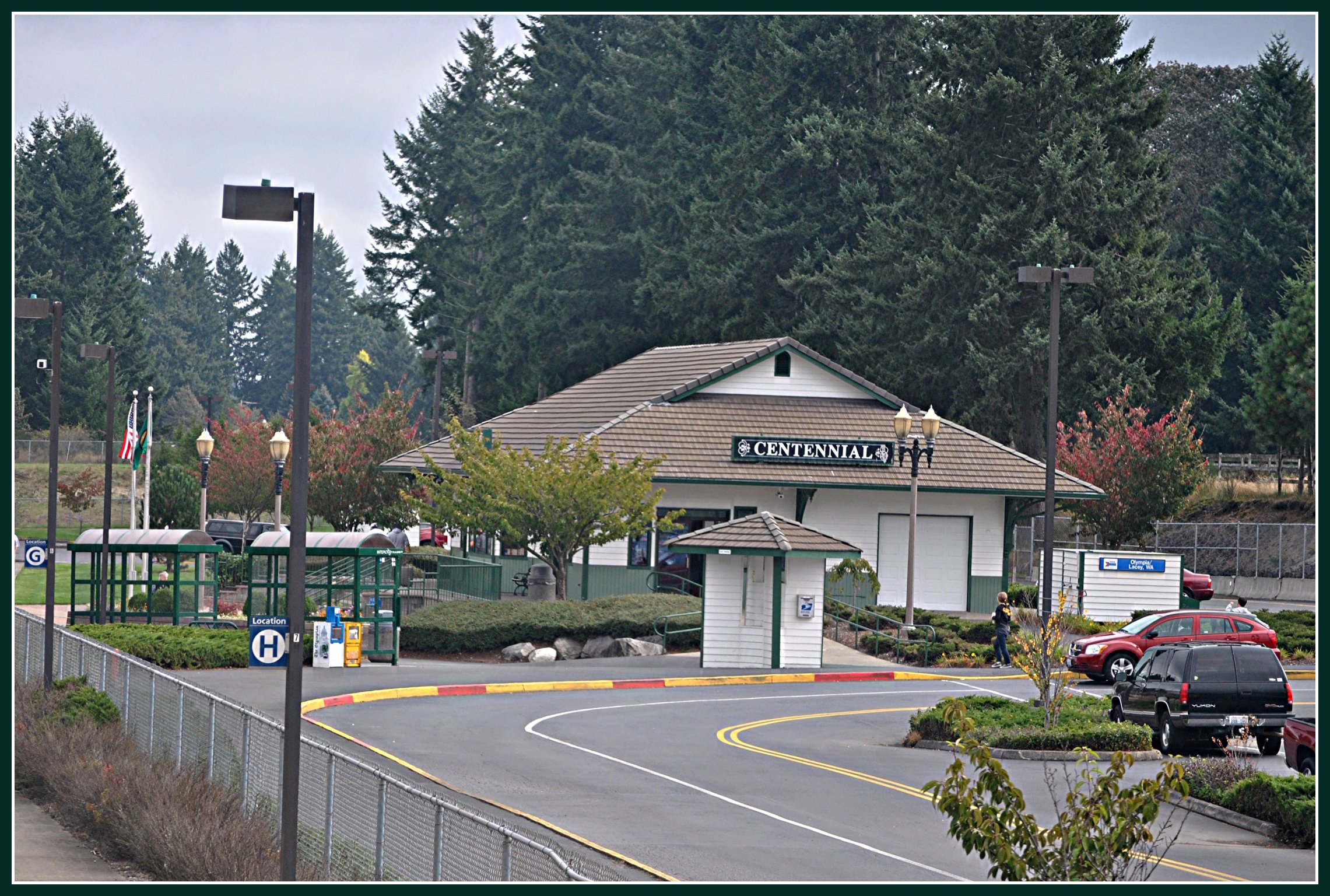
Olympia Lacey Centennial: Amtrak Station ( 2 Views )
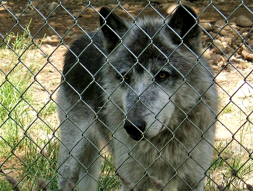
Zuni at Wolf Haven International
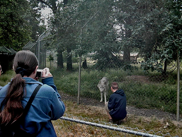
Wolf Haven International

Floor Plan
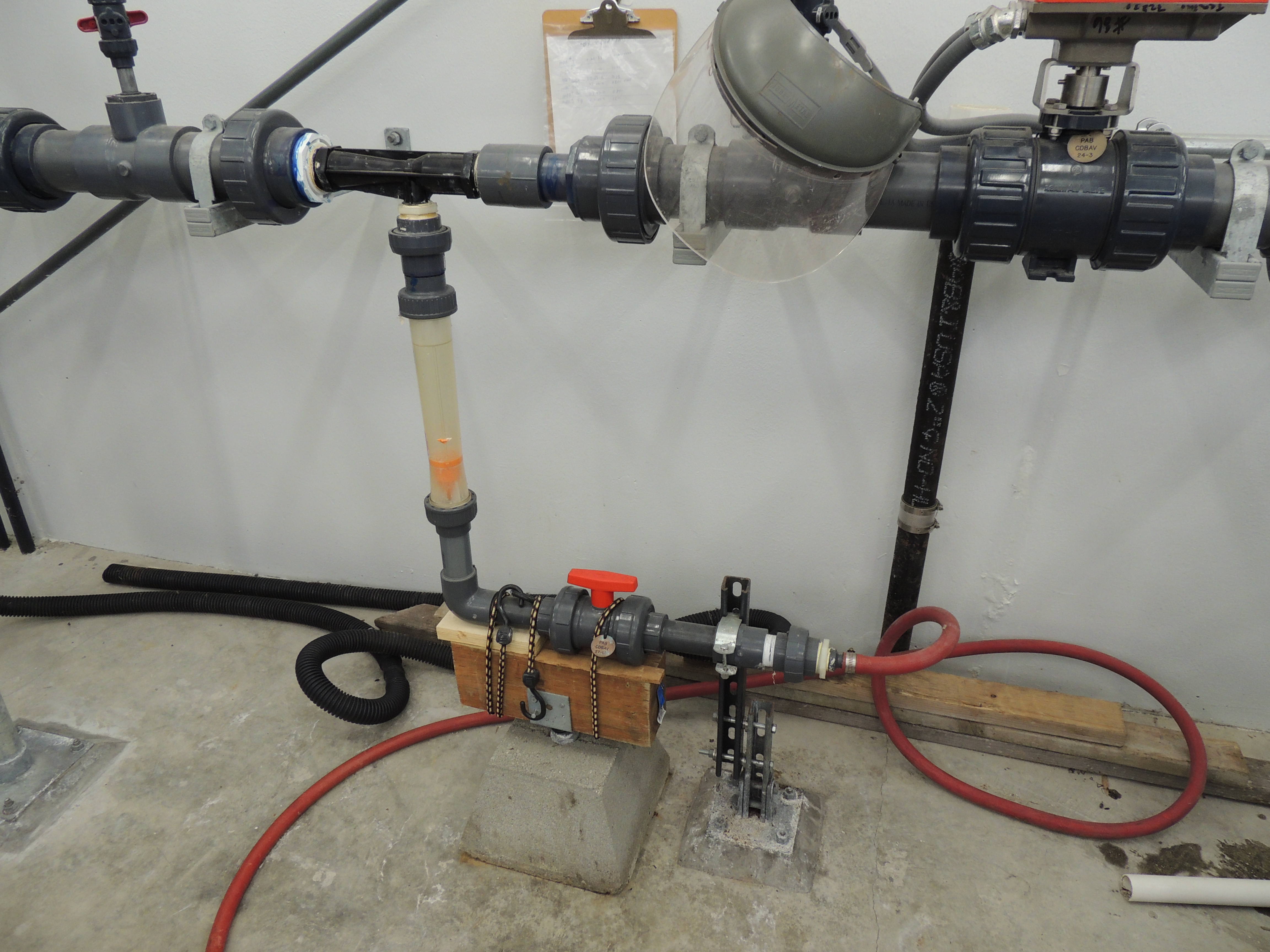
Tenino WWTP MBR CIP System
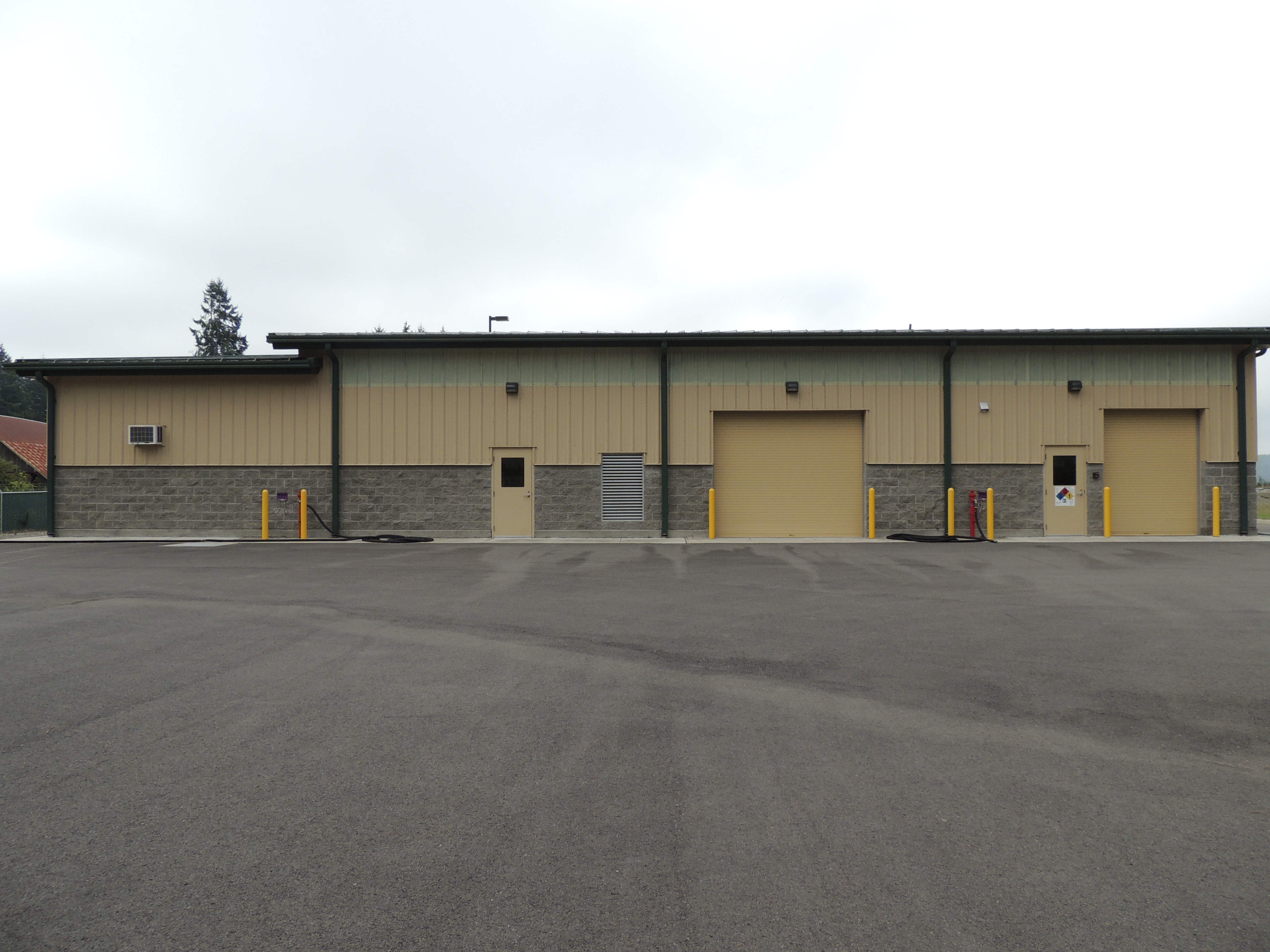
Tenino WWTP, north side view
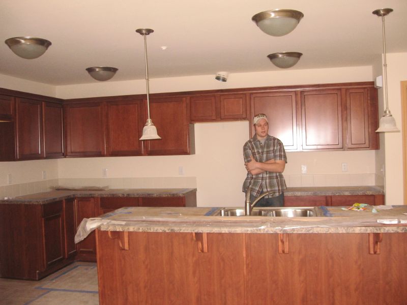
Kitchen w/ Todd

IMG_3338 Western Bluebird pair
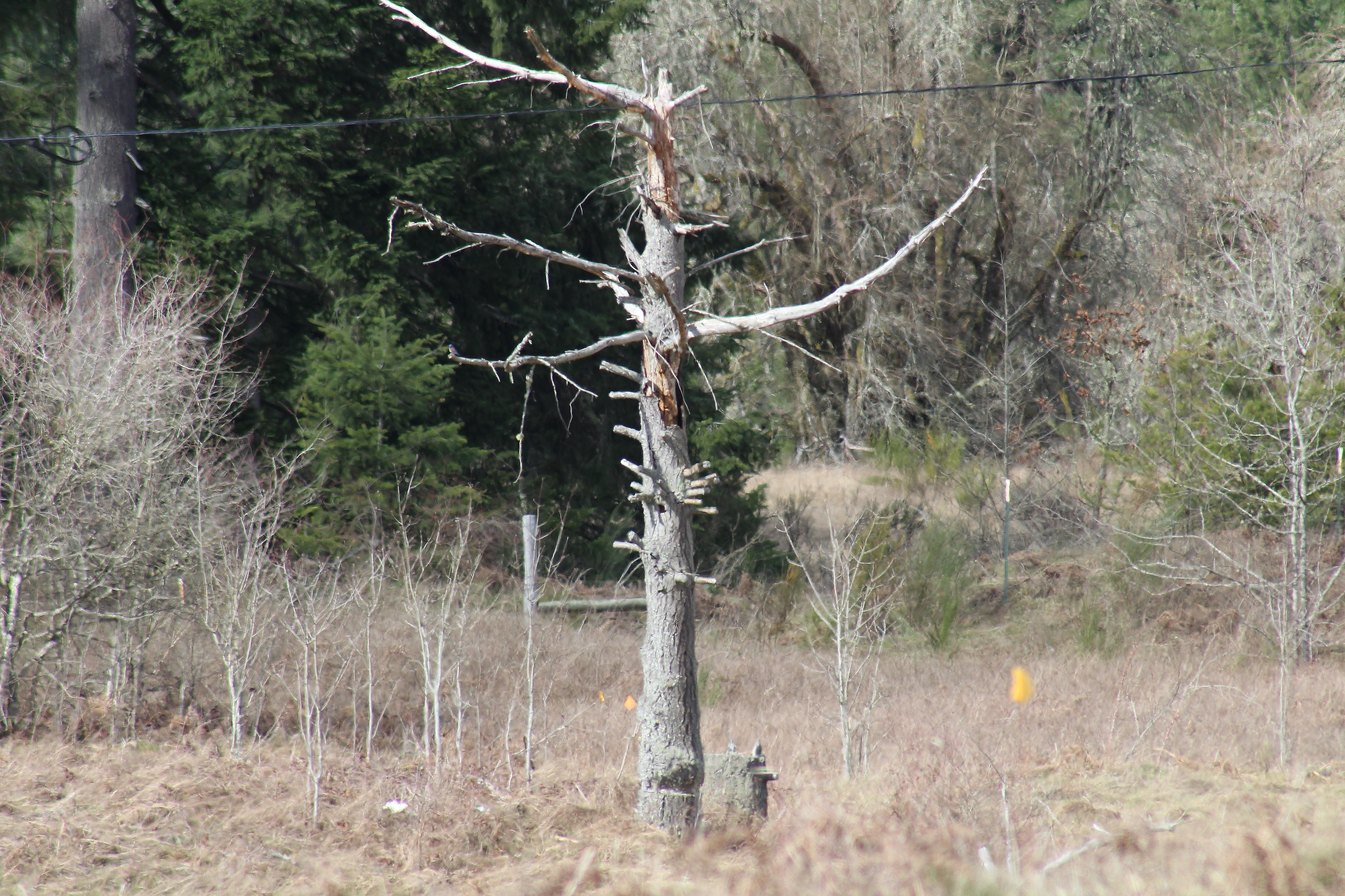
IMG_6893 Prairie Snag
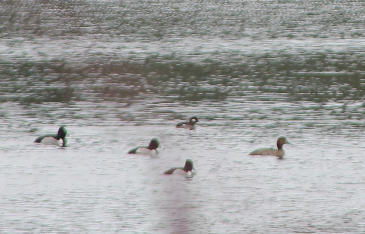
IMG_3334 Doc Shot - Female Redhead - Aythya americana

2015-07-19 View of Mount Rainier

IMG_1206 Barn Swallow fledglings

04282015-21

Easy riders
Old Road
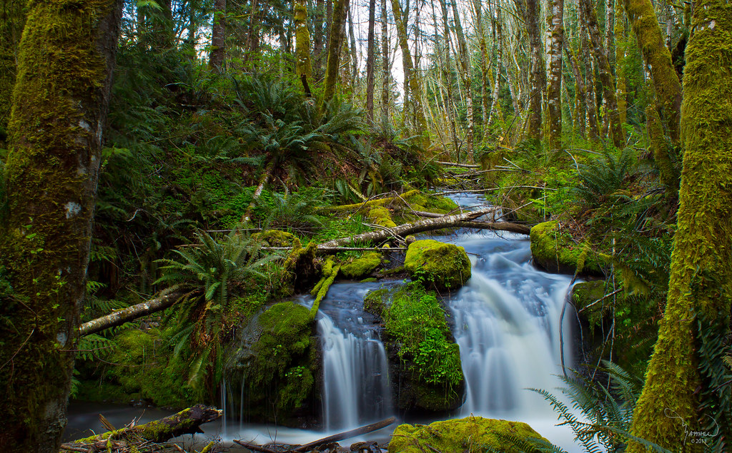
Pipeline creek

Lawrence Lake West

Mt Rainier from Cook Road
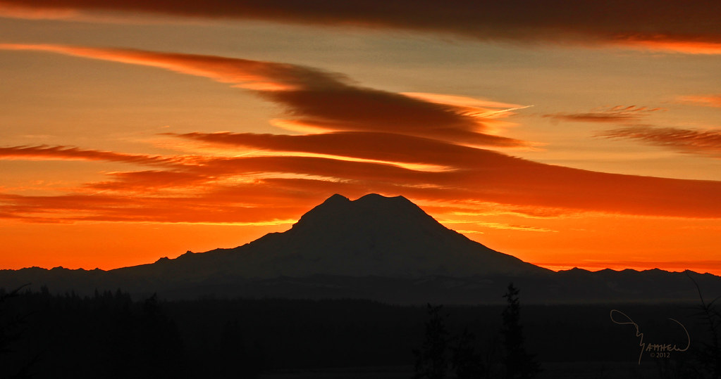
Mt Rainier blocking out the sun

Wood Dairy

Lawrence Lake AM
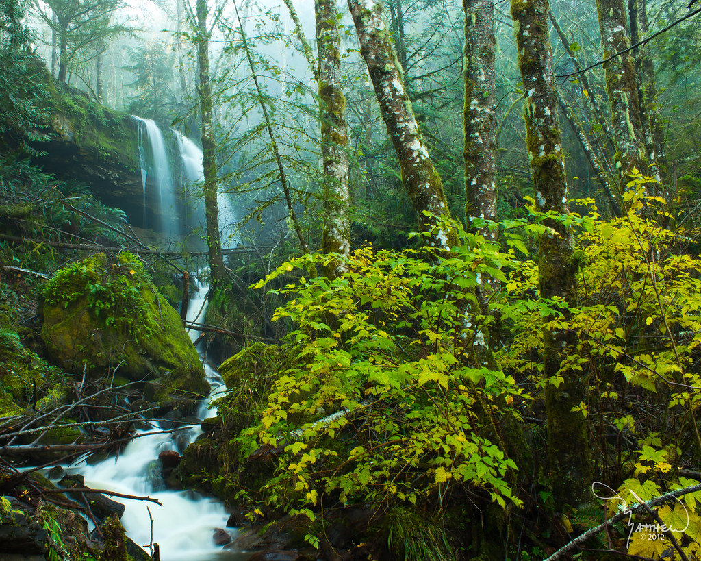
Pipeline creek falls in November
to be still
Mt Rainier at trails end
Road through snowy forest

Sky Shadow
Mt Rainier B&W
Sunrise, Lawrence lake and Mt Rainier
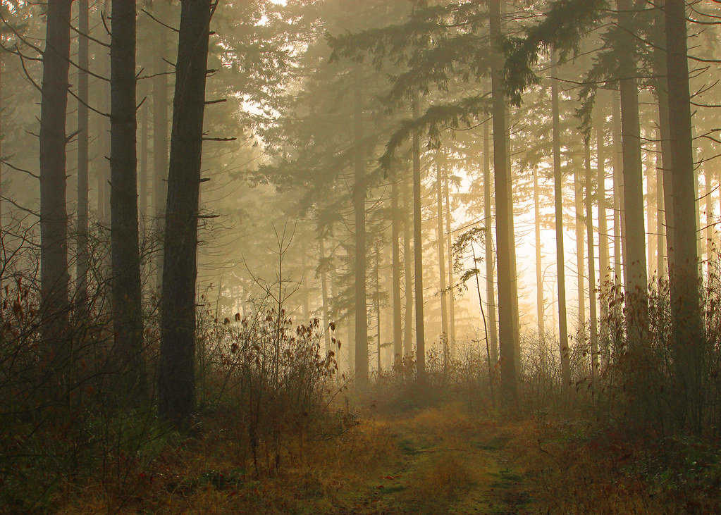
Sunrise at the forest edge

Mt Rainier pano

the beauty of puget sound
Island and Cattails
Sunrise in tall firs
Topographic Map of Vail Cut Off Rd SE, Rainier, WA, USA
Find elevation by address:

Places near Vail Cut Off Rd SE, Rainier, WA, USA:
Rainier
101 Binghampton St
104 Lillian Lane Southeast
935 Tipsoo Loop N
12430 118th Ave Se
16335 Village Dr Se
13845 Solberg Rd Se
17336 Russian Hill Ln Se
17310 Russian Hill Ln Se
14125 Vail Rd Se
16245 161st Ln Se
17221 Topaz Loop Se
10730 Vancil Rd Se
Lake Lawrence
18227 Chuckawa Ln Se
173rd Avenue Southeast
41908 40th Ave Ct S
Clearwood Community Association
36116 42nd Ave S
18311 Bald Hill Rd Se
Recent Searches:
- Elevation of Tenjo, Cundinamarca, Colombia
- Elevation of Côte-des-Neiges, Montreal, QC H4A 3J6, Canada
- Elevation of Bobcat Dr, Helena, MT, USA
- Elevation of Zu den Ihlowbergen, Althüttendorf, Germany
- Elevation of Badaber, Peshawar, Khyber Pakhtunkhwa, Pakistan
- Elevation of SE Heron Loop, Lincoln City, OR, USA
- Elevation of Slanický ostrov, 01 Námestovo, Slovakia
- Elevation of Spaceport America, Co Rd A, Truth or Consequences, NM, USA
- Elevation of Warwick, RI, USA
- Elevation of Fern Rd, Whitmore, CA, USA