Elevation of Västra Boda 3, 43 Skillingsfors, Sweden
Location: Sweden > Varmland County > Västra Boda >
Longitude: 12.0316268
Latitude: 59.8716873
Elevation: 178m / 584feet
Barometric Pressure: 99KPa
Elevation Map:
Satellite Map:
Related Photos:

Veterandagene Magnor 2016 (360x180)

Veterandagene Magnor 2016 (360x180)
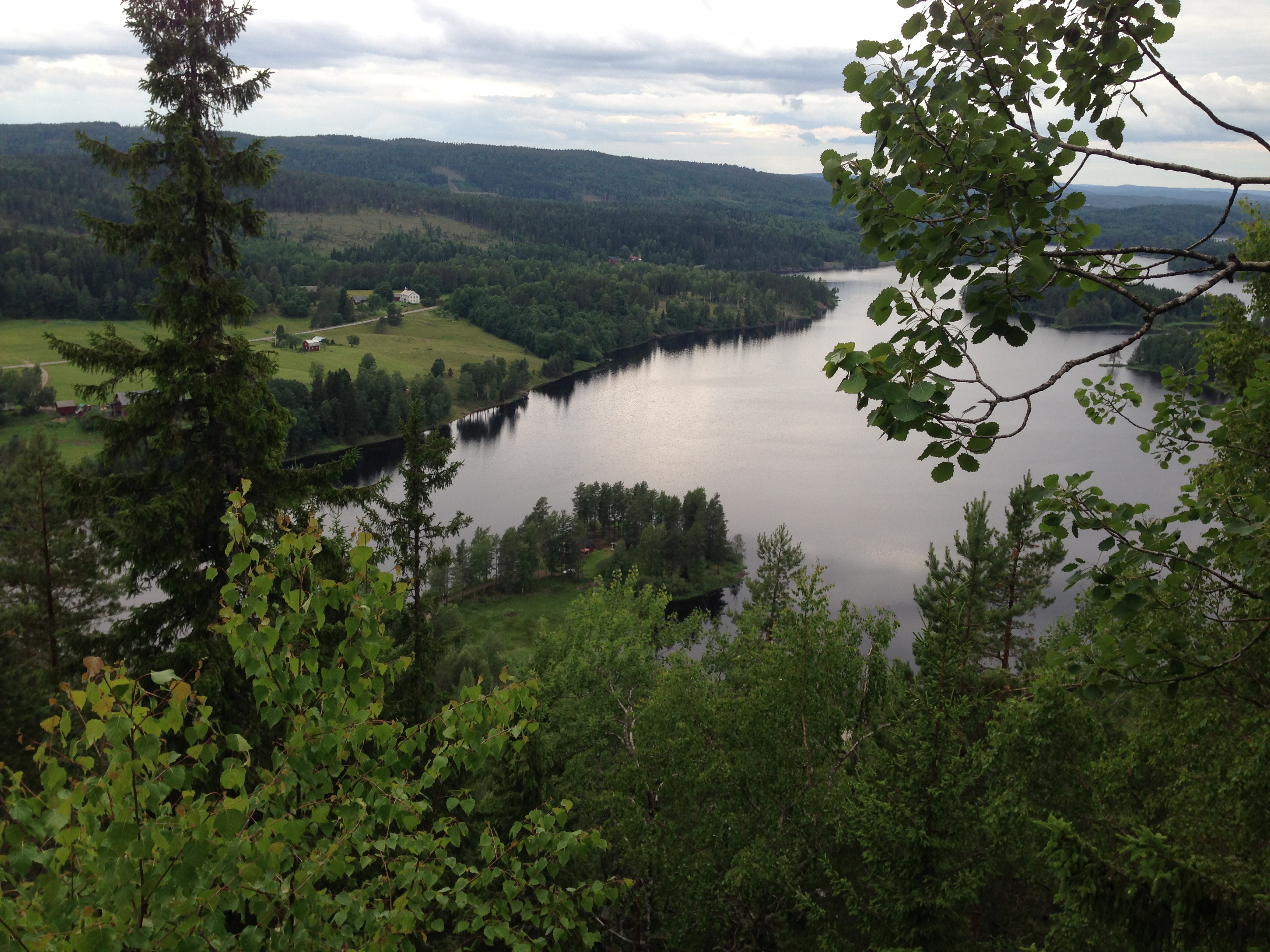
Mikael's View, Arvika Commun, Sweden (2)

Veterandagene Magnor 2016 (360x180)
20130709-_DSC7283
20130709-_DSC7264

Norway, 2008
A Norway lake
Norway, 2008
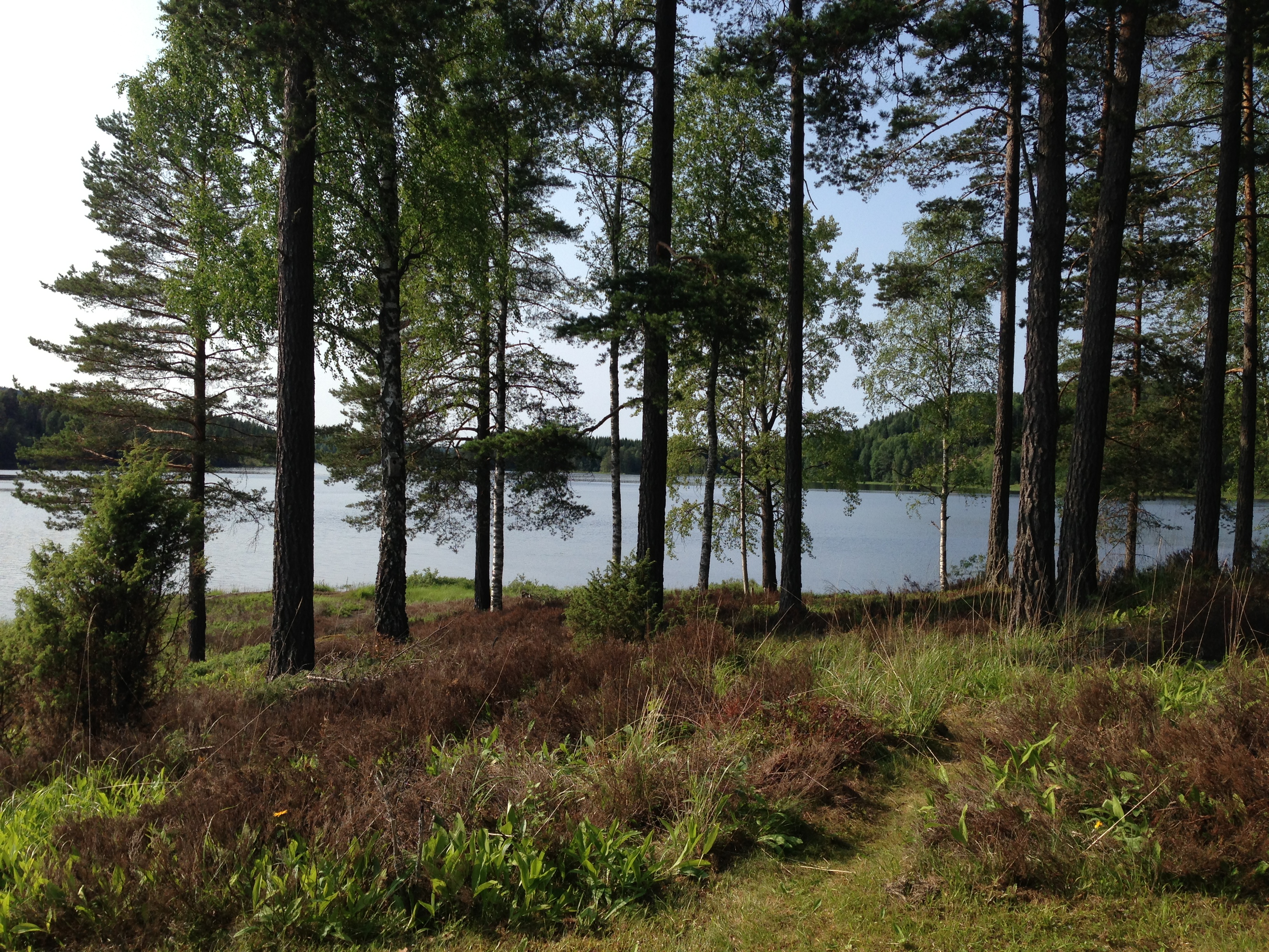
Mikael's Island, Arvika Commun, Sweden (3)
20130709-_DSC7236
Noruega 5
North of Askesjön
Mikael's Island, Arvika Commun, Sweden (10)
20130709-_DSC7229
20130709-_DSC7251

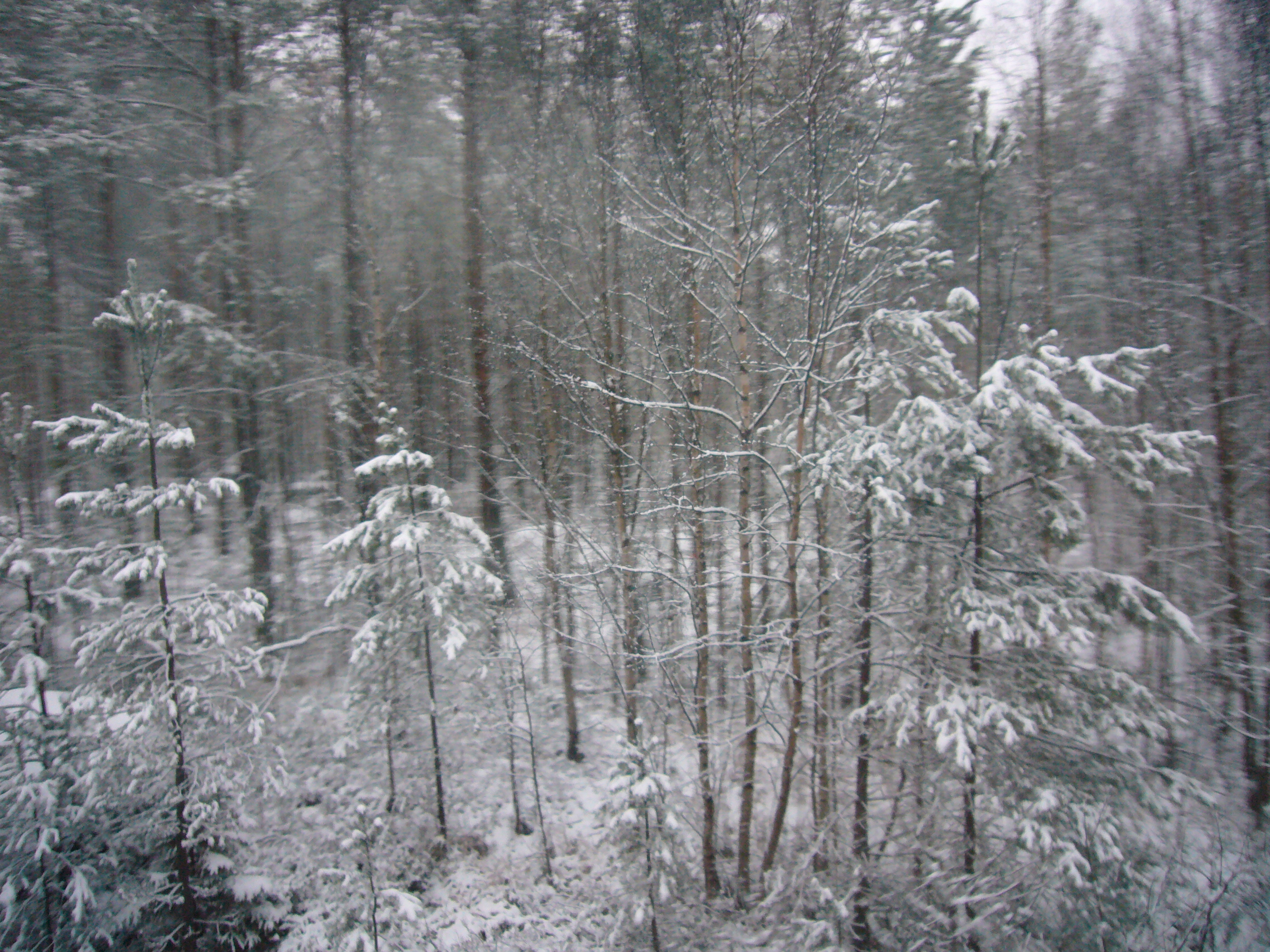
Can't see the forest for the trees
Topographic Map of Västra Boda 3, 43 Skillingsfors, Sweden
Find elevation by address:

Places near Västra Boda 3, 43 Skillingsfors, Sweden:
Fv, Tobøl, Norway
Fv 31, Tobøl, Norway
Eidskog
Adolfsfors 24, 40 Åmotfors, Sweden
Adolfsfors
Norra Ivarsbyn 5, 10 Töcksfors, Sweden
Fv, Åbogen, Norway
Kongsvinger
Kongsvinger
Arvika V
Västra JÖSSEFORS 15, 93 Arvika, Sweden
Fröbol
Årjäng
Aurskog-høland Municipality
Aronstorpvegen 63, Austmarka, Norway
Ørje
Tvillinggata 8, Ørje, Norway
Arvika N
Marker
Aurskog
Recent Searches:
- Elevation of Gateway Blvd SE, Canton, OH, USA
- Elevation of East W.T. Harris Boulevard, E W.T. Harris Blvd, Charlotte, NC, USA
- Elevation of West Sugar Creek, Charlotte, NC, USA
- Elevation of Wayland, NY, USA
- Elevation of Steadfast Ct, Daphne, AL, USA
- Elevation of Lagasgasan, X+CQH, Tiaong, Quezon, Philippines
- Elevation of Rojo Ct, Atascadero, CA, USA
- Elevation of Flagstaff Drive, Flagstaff Dr, North Carolina, USA
- Elevation of Avery Ln, Lakeland, FL, USA
- Elevation of Woolwine, VA, USA