Elevation of Vía Walter, San Lorenzo, CA, USA

Location: United States > California > Alameda County > San Lorenzo >

Longitude: -122.14690

Latitude: 37.6695216

Elevation: 4m / 13feet

Barometric Pressure: 101KPa

Elevation Map:

elevation map of Vía Walter, San Lorenzo, CA, USA

Satellite Map:

Satellite map of Vía Walter, San Lorenzo, CA, USA

Related Photos:

oakland california eastbay alamedacounty july 2016 boury pbo31 nikon d810 over view dark night dusk city urban traffic lightstream motion color highway red 580 freeway expressway hillcrestknolls 150th overpass roadway black
150th avenue
sanleandro california unitedstatesofamerica sanleandromarina clarksgrebe nature northerncalifornia birds bayarea
Just Hangin Out
sundaylights причал pier лодка boat дворик patio берег coast природа nature flora парк park красивый beautiful beaty cool цвет colour синий голубой blue зелёный green растение plant прогулка walk наслаждаться enjoy пруд pond река river вода water отражение reflection небо sky alameda california
Waterland. Bay Farm Lagoon. Bay Farm Island. Alameda. San Francisco Bay Area,
california dublin motion green evening spring nikon highway view traffic over valley freeway bayarea april eastbay exchange pleasanton hilltop alamedacounty 680 580 2016 lightstream boury westdublin pbo31 d810
exchanging one for another
redwoodroad alemedacounty greenhills clouds
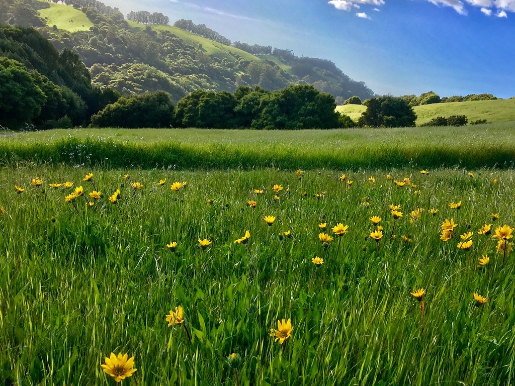
While the Hills are Green!
sundaylights
The best place to admire the view of San Francisco. Shoreline park. Bay Farm Island. Alameda.
yellowrumpedwarbler warbler setophagacoronata 1stwinter coyotehills coyotehillspark 1stwinterbird bird passerinebird passerine passeriformes fremont california ca canon7dii sp167 donedwardsnationalwildliferefuge myrtlewarbler
Yellow-rumped Warbler (Setophaga coronata) (sp. # 167)
california bayarea nikon d810 color august 2016 summer boury pbo31 northerncalifornia fostercity sanmateocounty bridge sunset light pole lightstream traffic skyline urban pink sky motion over view infinity
forever circling
starling commonstarling europeanstarling sturnusvulgaris sturnus vulgaris edenlandingecologicalreserve edenlanding edenshorespark edenshore unioncity california bird perched nature blue sky sp201
Common Starling / European Starling (Sturnus vulgaris) (adult) (sp. # 201)
bayarea eastbay 4thofjuly holiday night black color summer nikon d810 boury pbo31 california fireworks 2018 independenceday pyrotechnics over view kingestateopenspace eastmont oakland alamedacounty illegal rooftops
4th of july over toler heights
whitetailedkite whitetailed kite raptor bird birdinflight birdofprey elanus leucurus elanusleucurus coyotehills coyotehillspark fremont california juvenilebird juvenile sp186 blue bluesky sky
White-tailed Kite (Elanus leucurus) (sp. # 186)
coyotehillsregionalpark fremont california ebparksok pelicantrail iphonese coyotehills
view from Pelican Trail
oakland california eastbay alamedacounty july 2016 boury pbo31 nikon d810 over view dark night dusk city urban traffic lightstream motion color highway red 580 freeway expressway hillcrestknolls 150th overpass roadway black
fairmont drive overpass
bushtit psaltriparusminimus psaltriparus minimus songbird edenlandingecologicalreserve edenlanding edenshore unioncity california donedwardsnwr donedwardsnationalwildliferefuge bird americanbushtit passerinebird passerine edenshorespark hayward
Bushtit / American Bushtit (Psaltriparus minimus) (sp. # 182)
california usa america oakland unitedstates circus unitedstatesofamerica eastbay trapeze ringlingbros ringlingbrothers fav10 oaklandcollesium ringlingbrothersbarnumbaileycircus
Living Proof
cedarwaxwing waxwing bombycilla cedrorum bombycillacedrorum edenlandingecologicalreserve edenlanding unioncity california edenshore edenshorespark hayward bird feeding nature wildlife blue sky passerine passerinebird eatingberries
Almost got it! ~ Cedar Waxwing (Bombycilla cedrorum)
sanfrancisco california city sunset dublin orange west color skyline nikon view over bayarea april eastbay alamedacounty 2016 suburbian boury pbo31 d810
suburbian trails
halloween creepy spooky handheld ardenwood vob muhuhahahahaha extremelowlightshotsprocessedextensivelyinphotoshoptogetyouinthemoodforhalloween
do you dare venture beyond?
bayarea california nikon february 2018 color winter boury pbo31 city urban eastbay alamedacounty motion traffic lightstream roadway tracks 580 highway bart station over castrovalley view infinity metro transit d810
just before the downpour
bayarea bridge sanmateobridge california forestfire
San Mateo, California: Bridge to Nowhere
Coyote Hills park, in Fremont California.
ebparksok
Lake Chabot
ebparksok
rain and sun alternating
spottedsandpiper elsieroemerbirdsanctuary
I'm sure this is the spot where she said to meet ...
ebparksok
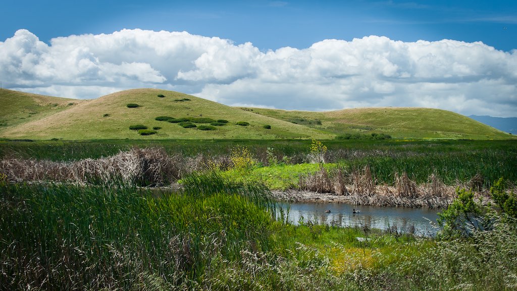
Hayward Regional Shoreline
ebparksok
Lake Chabot
ebparksok
Lake Chabot
california us unitedstates fremont coyotehillsregionalpark
Dry lake bed (California's drought)
ebparksok
Lake Chabot
ebparksok
Garin Regional Park
california sunset oakland sand san francisco samsung explore galaxy alameda footprint
Footprints in the Sand [Explored]
coyotehillsregionalpark fremont california ebparksok ch
Poppies, Lupines and Rocks
mlkjrregionalshoreline arrowheadmarsh goldencrownedsparrow oakland california unitedstates us
Golden-crowned Sparrow (1st winter)
ca flower field clouds landscape cloudy hill bluesky fremont hills sanfranciscobayarea greenery eastbay willows coyotehills fremontca eastbayregionalparks cloudseastbay
A Spring Day in Coyote Hills
california coyotehillsregionalpreserve fremont pond unitedstates water clouds wetlands marsh landscape
Coyote Hills Regional Preserve
ca california cloud clouds cloudseastbay coyotehills eastbay eastbayregionalparks fremontca landscape marsh marshland sanfranciscobayarea water wildlife winter
Coyoto Hils Marsh No3
americanpipit mlkjrregionalshoreline arrowheadmarsh oakland california unitedstates us
American Pipit
ebparksok
Anthony Chabot Regional Park
leastsandpiper sanleandromarina sanleandro california unitedstates us
Least Sandpiper
sanleandromarina blackphoebe sanleandro california unitedstates us
Black Phoebe
wild sky nature yellow clouds landscape spring pretty mustard hollingsworth ellow firld iphone5 iphoneography uploaded:by=flickrmobile flickriosapp:filter=nofilter
Mustard field