Elevation of Utica, WI, USA
Location: United States > Wisconsin > Winnebago County >
Longitude: -88.691631
Latitude: 43.9552842
Elevation: 252m / 827feet
Barometric Pressure: 98KPa
Elevation Map:
Satellite Map:
Related Photos:

7-20-10 Storms

Twin Beech

Watch Out!

Tail View I

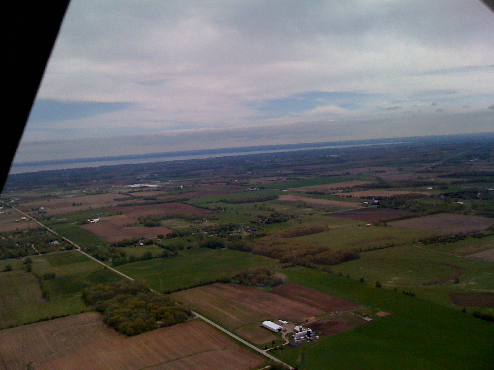
View to the south
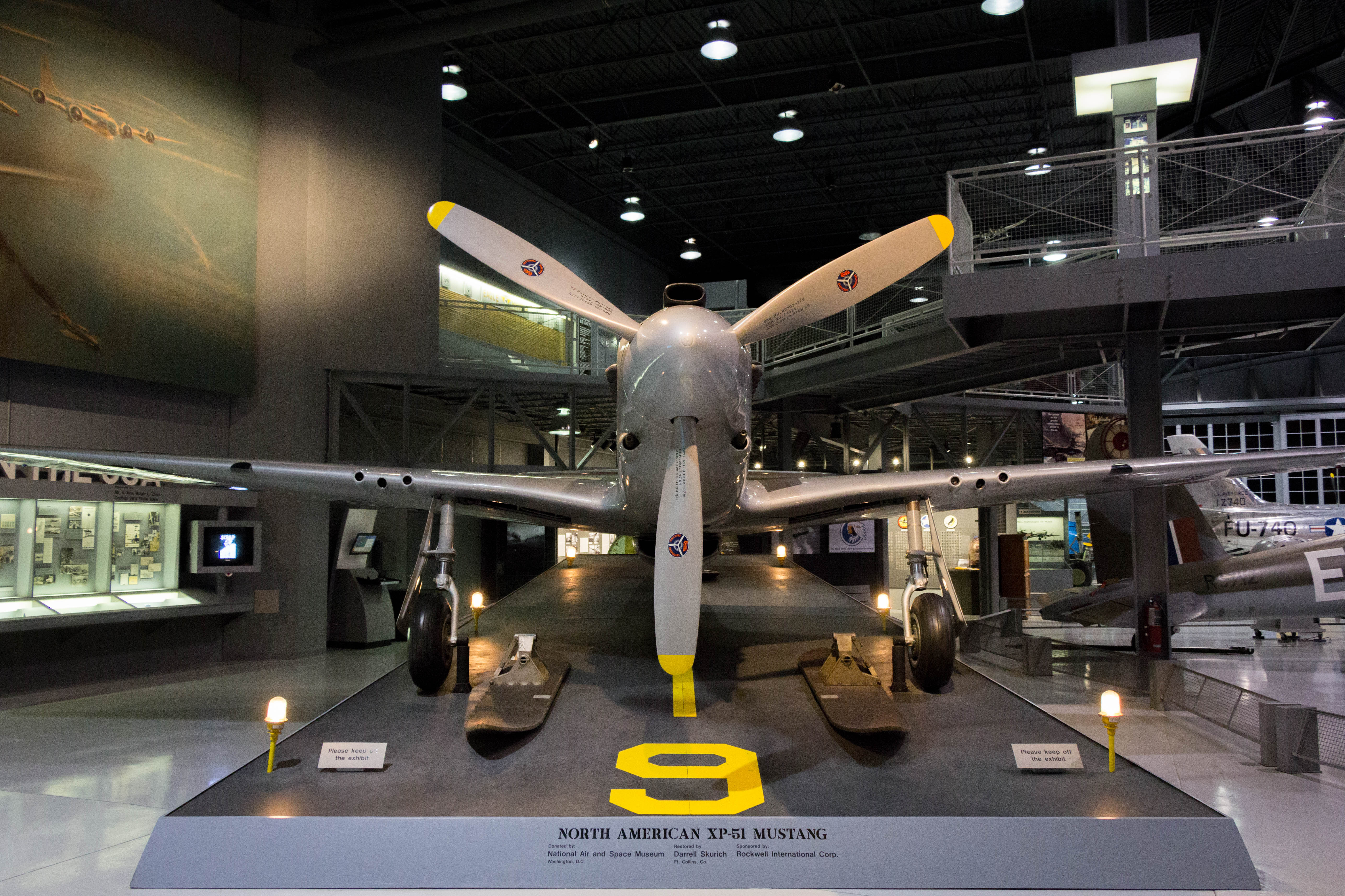
1941 North American XP-51 Mustang front view

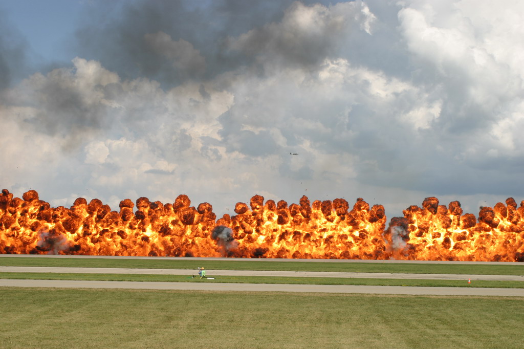
Wall of Fire
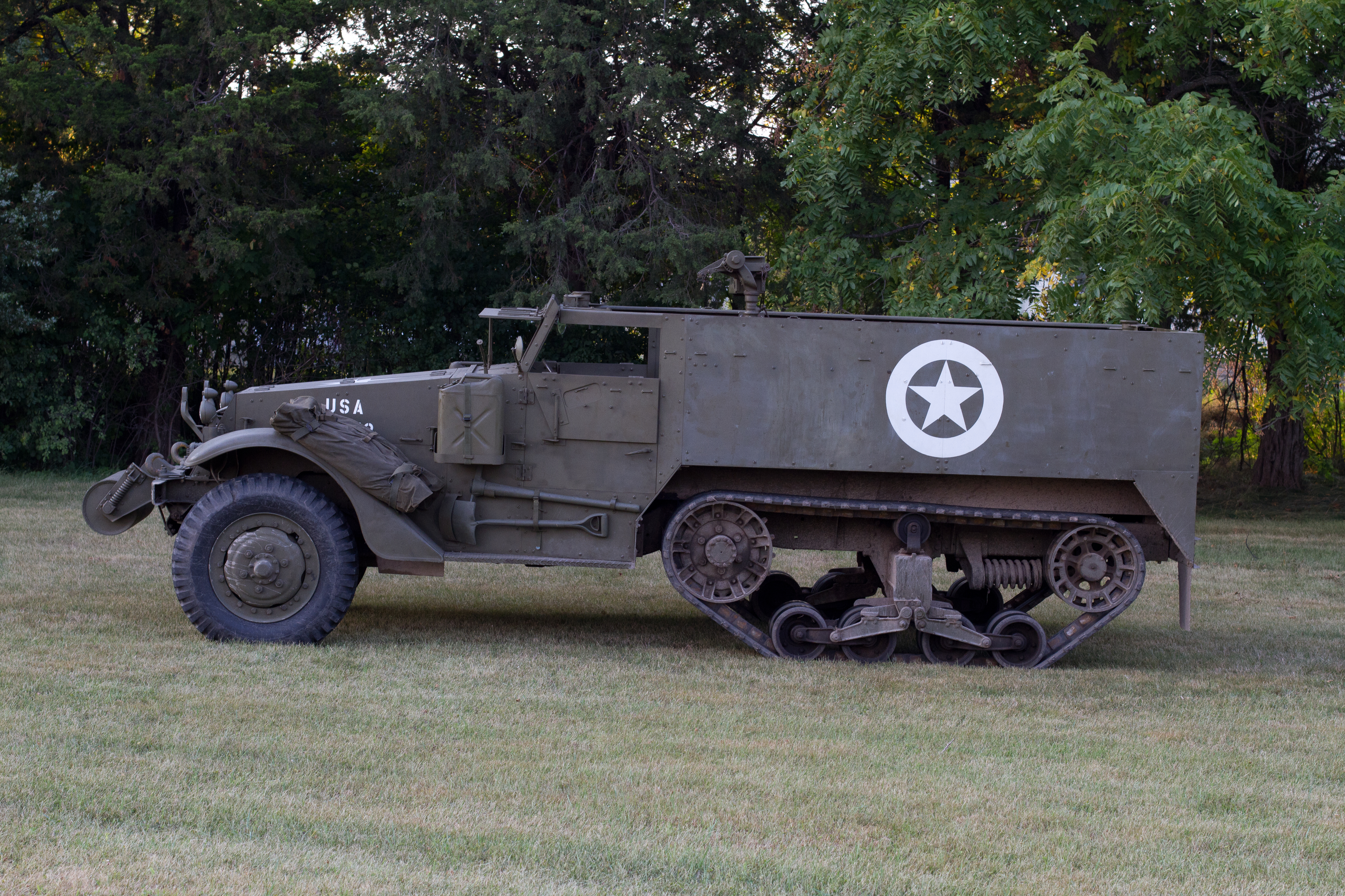
M3A1 Halftrack driver's side view
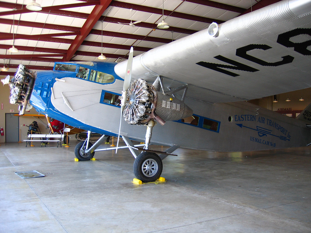
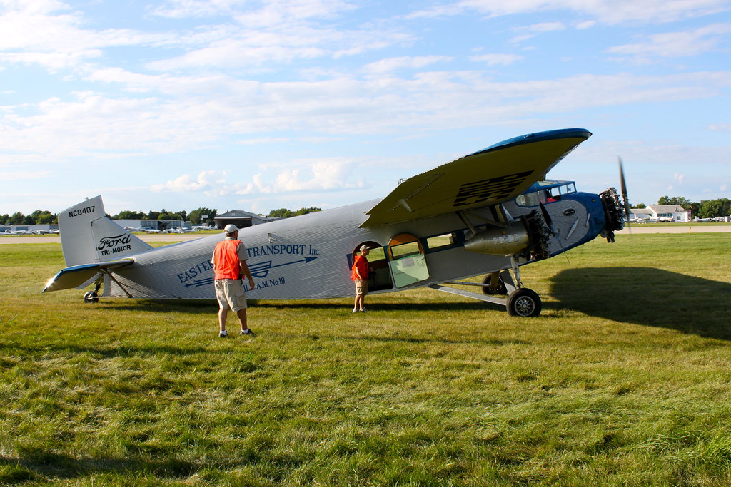
Closer view of Ford Trimotor

Tail View II
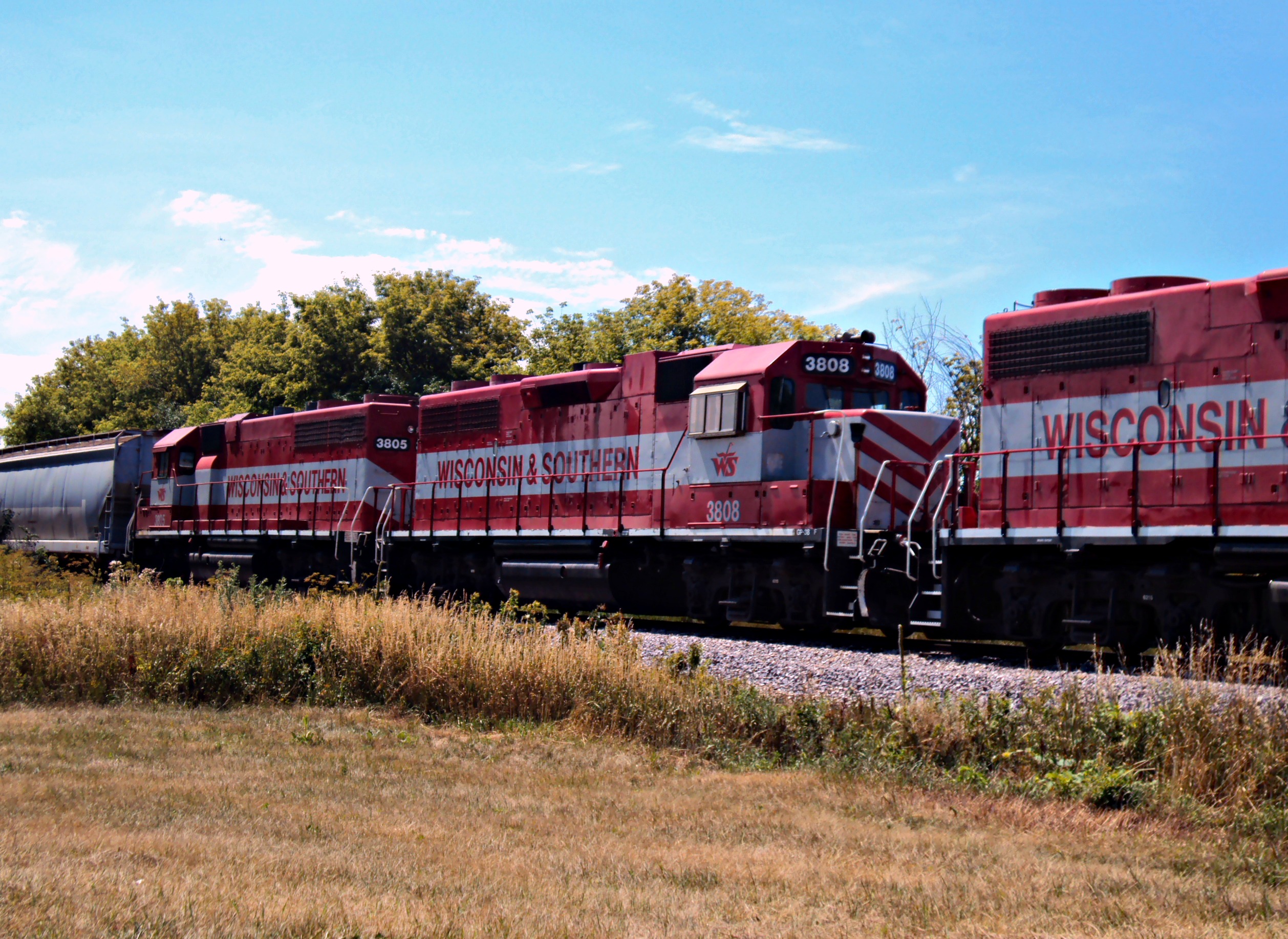
WSOR 3808
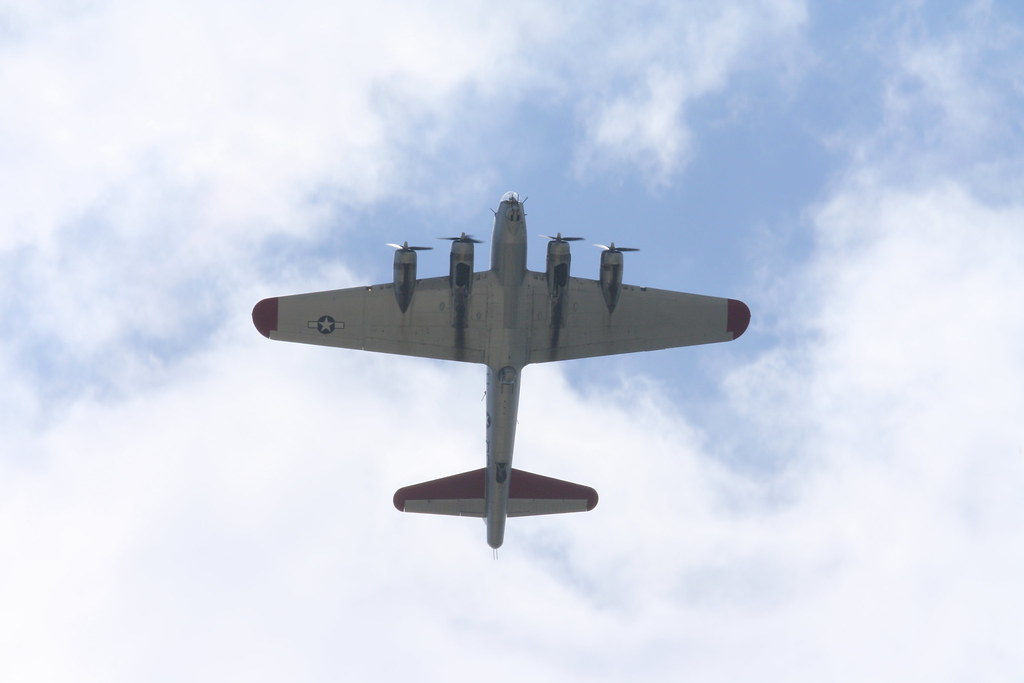
B-17 Overflight - Aluminium Overcast
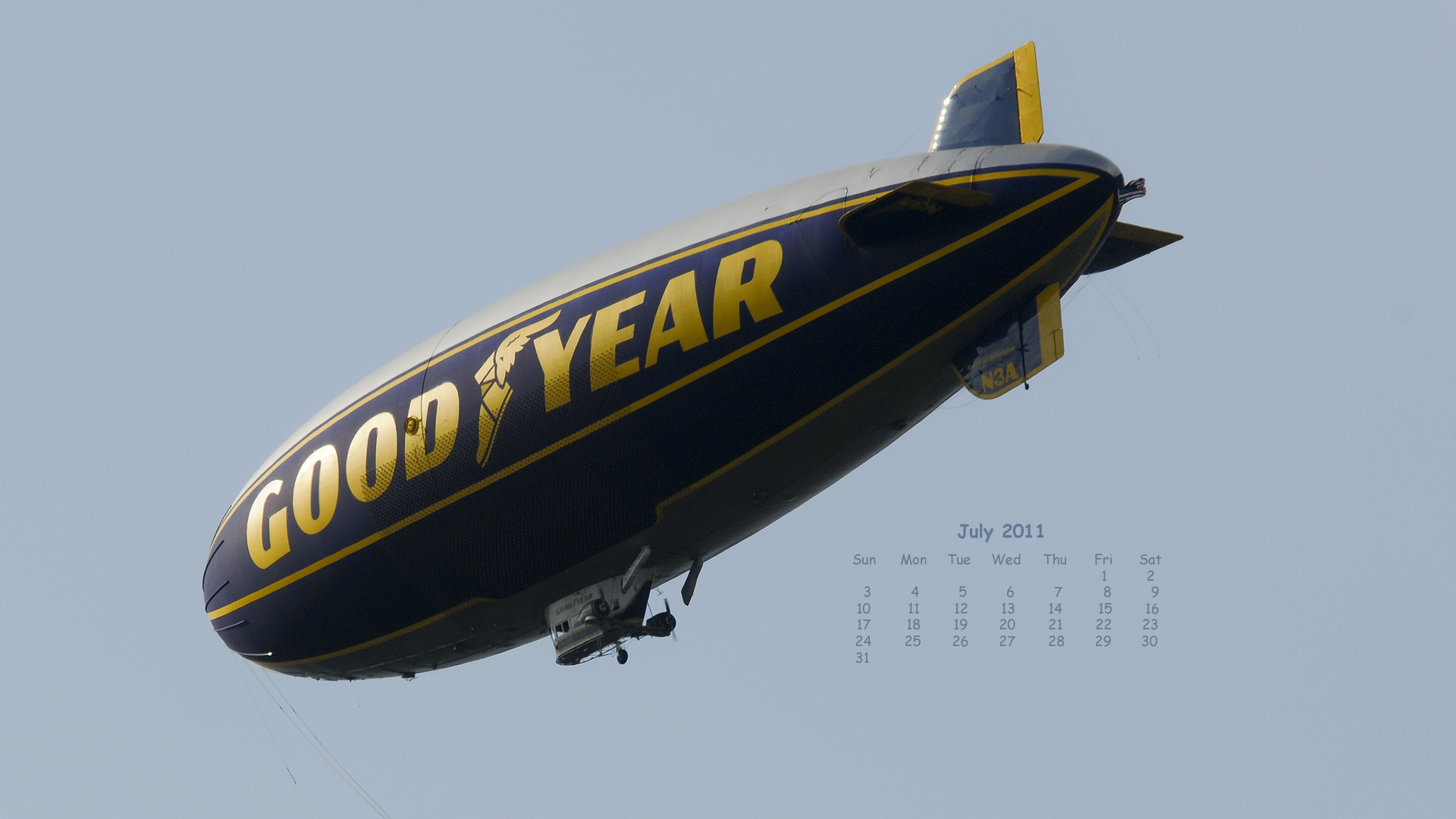
sun-sat-N3A 1920x1080-DSC_2659
View up
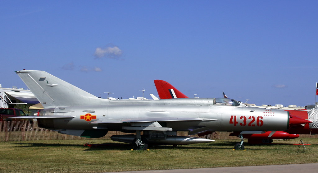
MiG-21
Fly The Ford!

Roloff-Unger RLU-1 Breezy (N59Y)

WC 3015 - 9/15/1991

Miller's Bay frozen entrance

7-20-10 Storms

7-20-10 Storms

Wittman Field
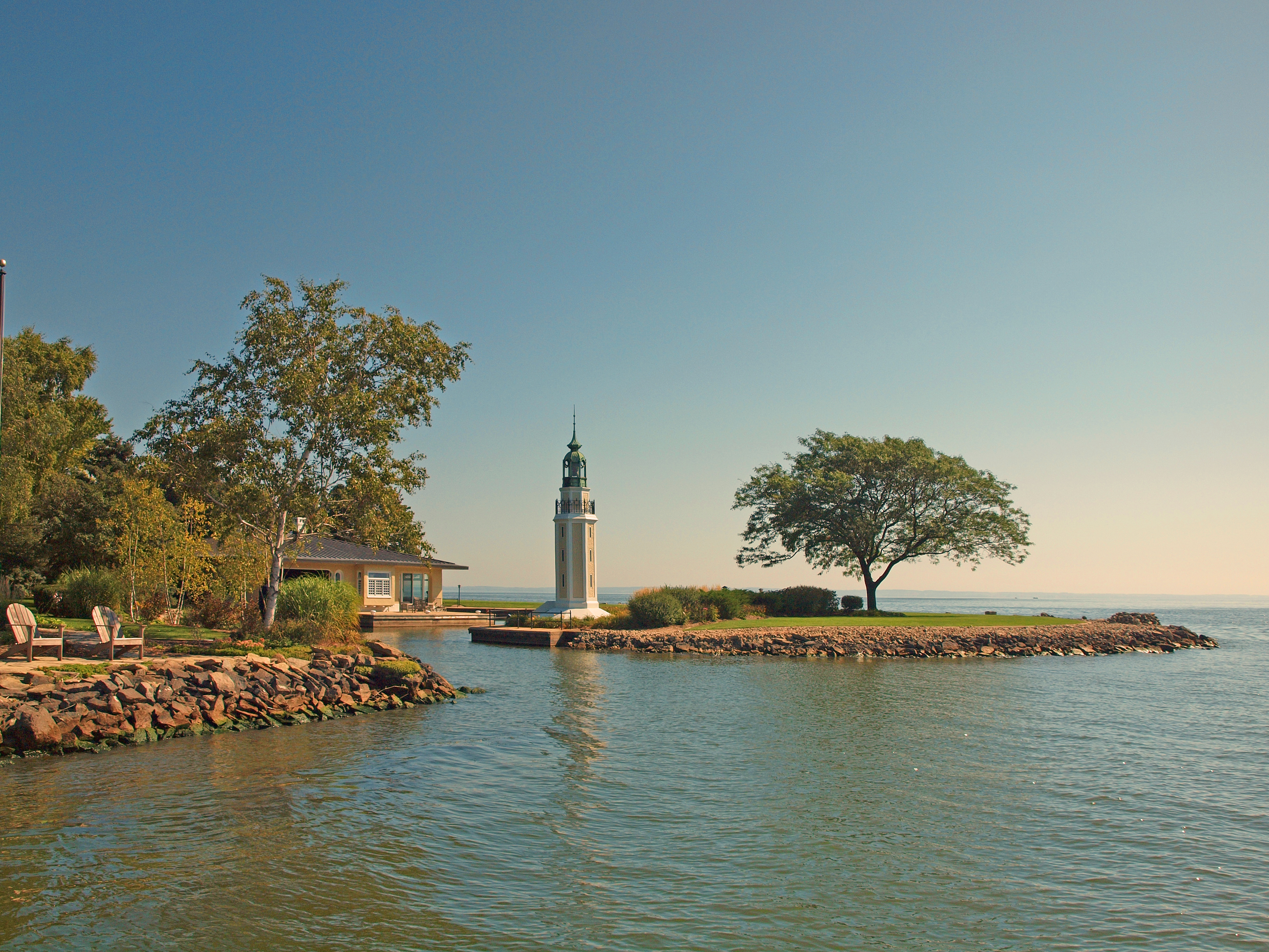
Bray's Point (Rockwell) Lighthouse
Edit Days of trip 366

7.27.12
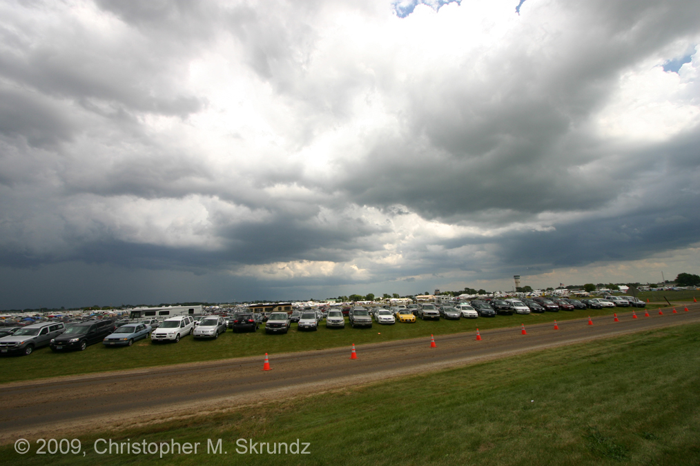
Clouds at Oshkosh

7.27.12

"Up in seven" 2

view to left after entering the zoo
Lakeside running
Oshkosh Air Show
Oshkosh-monday-1401

DSC04448 - 2014-08-01 at 10-53-53

Wall of Fire

7-20-10 Storms

day3 (41)

12 Rows
Oshkosh Air Show

7-20-10 Storms
AirVenture Wall of Fire

EAA08-Smoke
Topographic Map of Utica, WI, USA
Find elevation by address:

Places in Utica, WI, USA:
Places near Utica, WI, USA:
Co Rd K, Oshkosh, WI, USA
Winnebago County
Omro
Nekimi
3303 W 20th Ave
Commercial St, Waukau, WI, USA
702 Mckinley Ave
713 Mckinley Ave
502 Mckinley Ave
4084 Marquart Ln
Marquart Lane
5152 Notre Dame Dr
3420 W 9th Ave
230 Jackson Ave
Omro
4403 Harbor Village Dr
W Reighmoor Rd, Omro, WI, USA
3120 Rosewood Ln
2541 W 20th Ave
3887 Duchess Ln
Recent Searches:
- Elevation of Côte-des-Neiges, Montreal, QC H4A 3J6, Canada
- Elevation of Bobcat Dr, Helena, MT, USA
- Elevation of Zu den Ihlowbergen, Althüttendorf, Germany
- Elevation of Badaber, Peshawar, Khyber Pakhtunkhwa, Pakistan
- Elevation of SE Heron Loop, Lincoln City, OR, USA
- Elevation of Slanický ostrov, 01 Námestovo, Slovakia
- Elevation of Spaceport America, Co Rd A, Truth or Consequences, NM, USA
- Elevation of Warwick, RI, USA
- Elevation of Fern Rd, Whitmore, CA, USA
- Elevation of 62 Abbey St, Marshfield, MA, USA