Elevation of US-, Seminole, TX, USA
Location: United States > Texas > Gaines County > Seminole >
Longitude: -102.62670
Latitude: 32.7123632
Elevation: 995m / 3264feet
Barometric Pressure: 90KPa
Elevation Map:
Satellite Map:
Related Photos:

Suburbian Fantasy - My First Panoramic

Left, Gone, and Dead Within Minutes

Drone Flying 10-5-17

Denver City Highway

Salvage Yard

Drone Flying 10-5-17

Above.

Drone Flying 10-5-17

Seminole Football Field

Football Field Water Tower
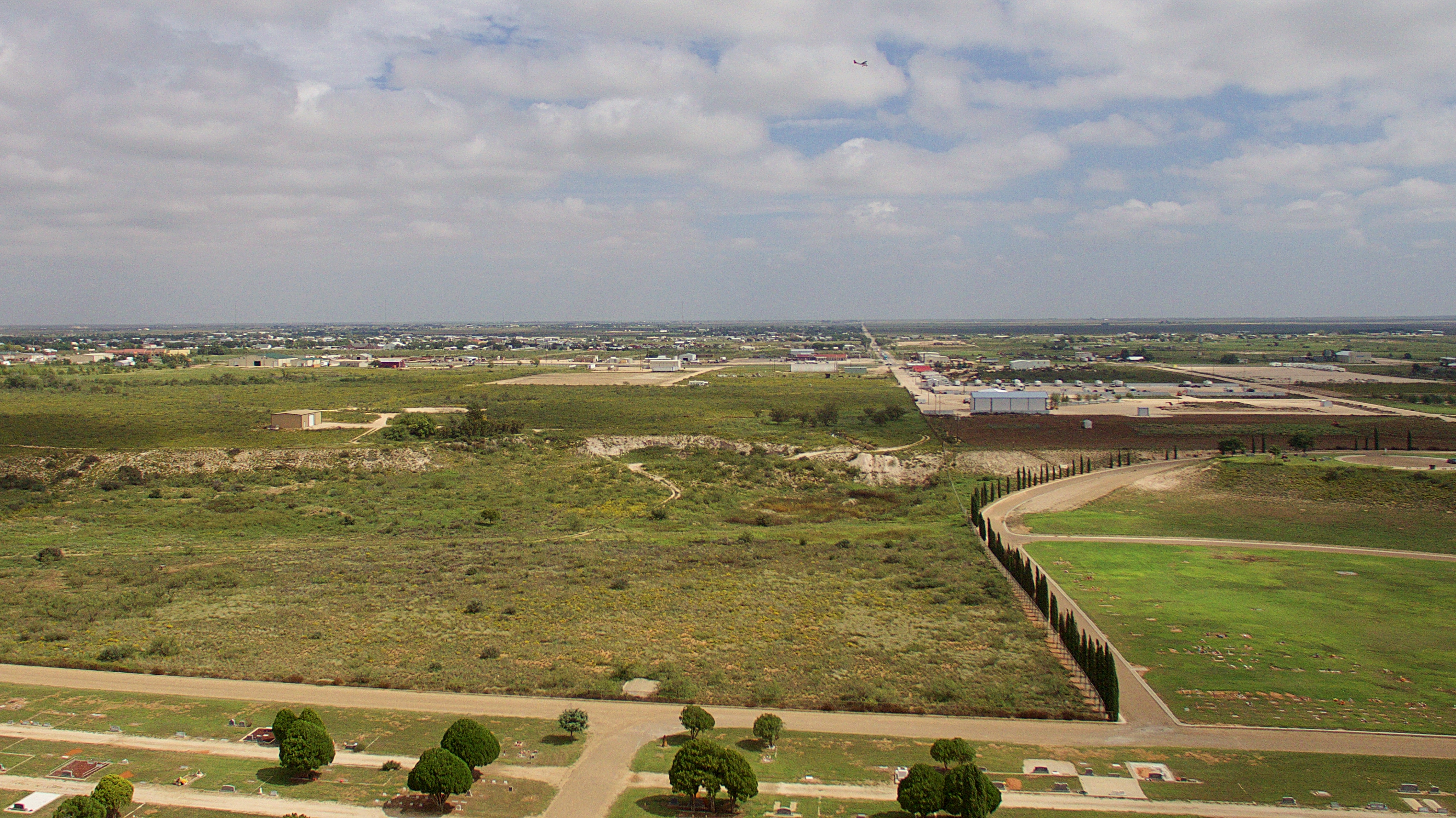
Drone Flying 10-5-17

Where Death May Lie

Seminole Chancellor Harris (53 of 79)

Seminole Chancellor Harris (54 of 79)

Seminole Chancellor Harris (51 of 79)

Seminole Chancellor Harris (55 of 79)

"Are we there yet?" Headed to 'Doso for some R and R with my sweetie :)
Topographic Map of US-, Seminole, TX, USA
Find elevation by address:

Places near US-, Seminole, TX, USA:
Seminole
N Us, Andrews, TX, USA
Terry County
Brownfield
Dawson County
N Dallas Ave, Lamesa, TX, USA
Lamesa
County Rd H, Lamesa, TX, USA
33 Main St, Lamesa, TX, USA
2288 Edward Rd
Whiteface, TX, USA
O'donnell
Ropesville
O'Donnell, TX, USA
Whiteface
N Fillmore St, Whiteface, TX, USA
Houston St, Levelland, TX, USA
Levelland
Lynn County
Tahoka
Recent Searches:
- Elevation of Congressional Dr, Stevensville, MD, USA
- Elevation of Bellview Rd, McLean, VA, USA
- Elevation of Stage Island Rd, Chatham, MA, USA
- Elevation of Shibuya Scramble Crossing, 21 Udagawacho, Shibuya City, Tokyo -, Japan
- Elevation of Jadagoniai, Kaunas District Municipality, Lithuania
- Elevation of Pagonija rock, Kranto 7-oji g. 8"N, Kaunas, Lithuania
- Elevation of Co Rd 87, Jamestown, CO, USA
- Elevation of Tenjo, Cundinamarca, Colombia
- Elevation of Côte-des-Neiges, Montreal, QC H4A 3J6, Canada
- Elevation of Bobcat Dr, Helena, MT, USA