Elevation of US-, Piedmont, AL, USA
Location: United States > Alabama > Calhoun County > Piedmont >
Longitude: -85.430185
Latitude: 33.9622686
Elevation: 306m / 1004feet
Barometric Pressure: 98KPa
Elevation Map:
Satellite Map:
Related Photos:
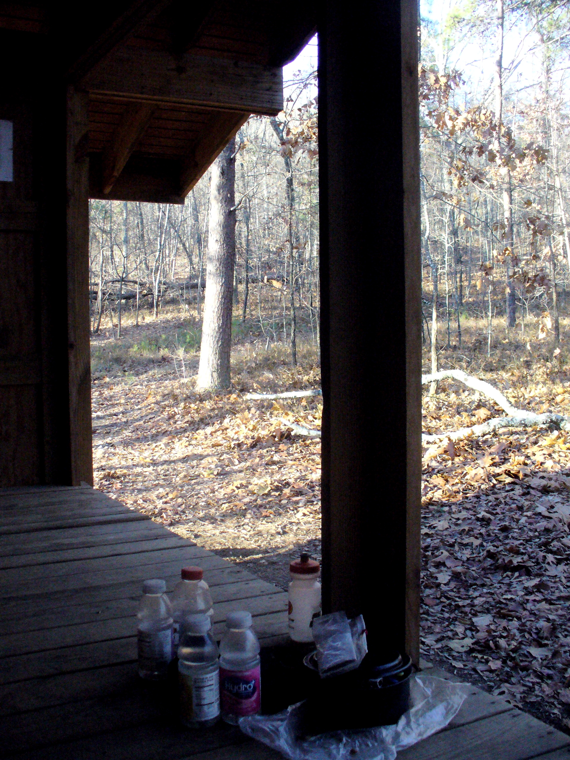
View from the shelter
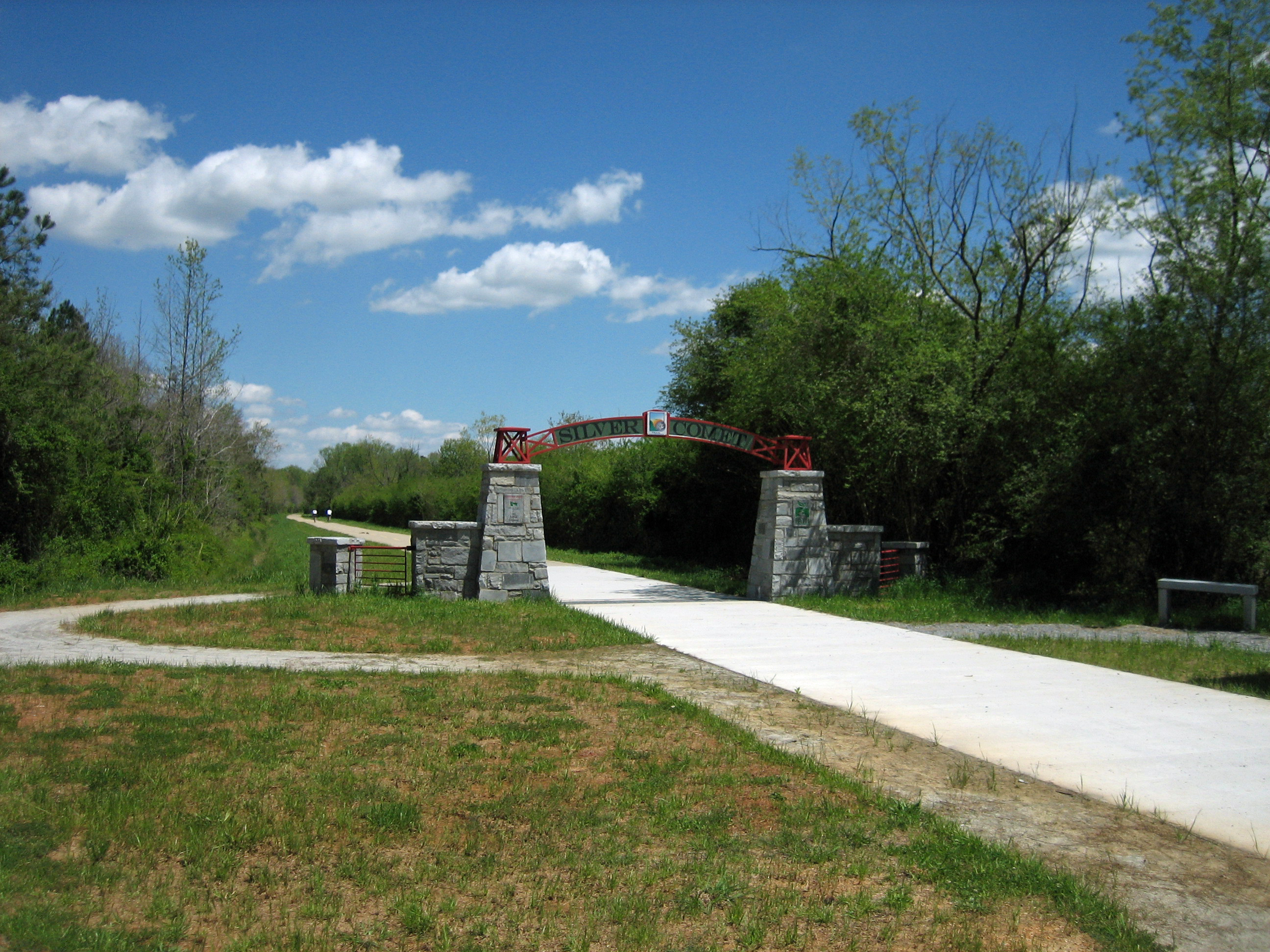
Silver Comet
The Georgia / Alabama Border on the Silver Comet Trail

Digger Mountain

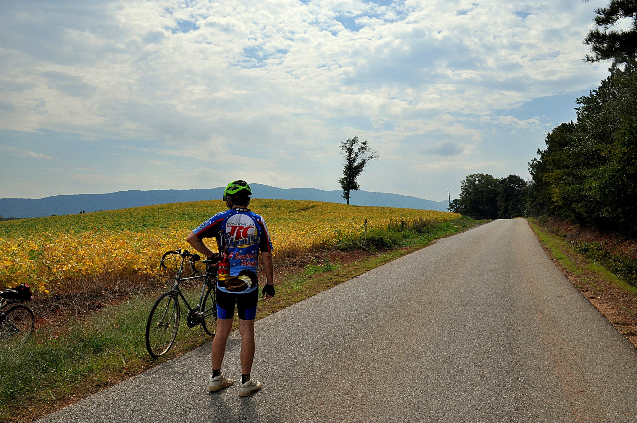
Along the Bike Path
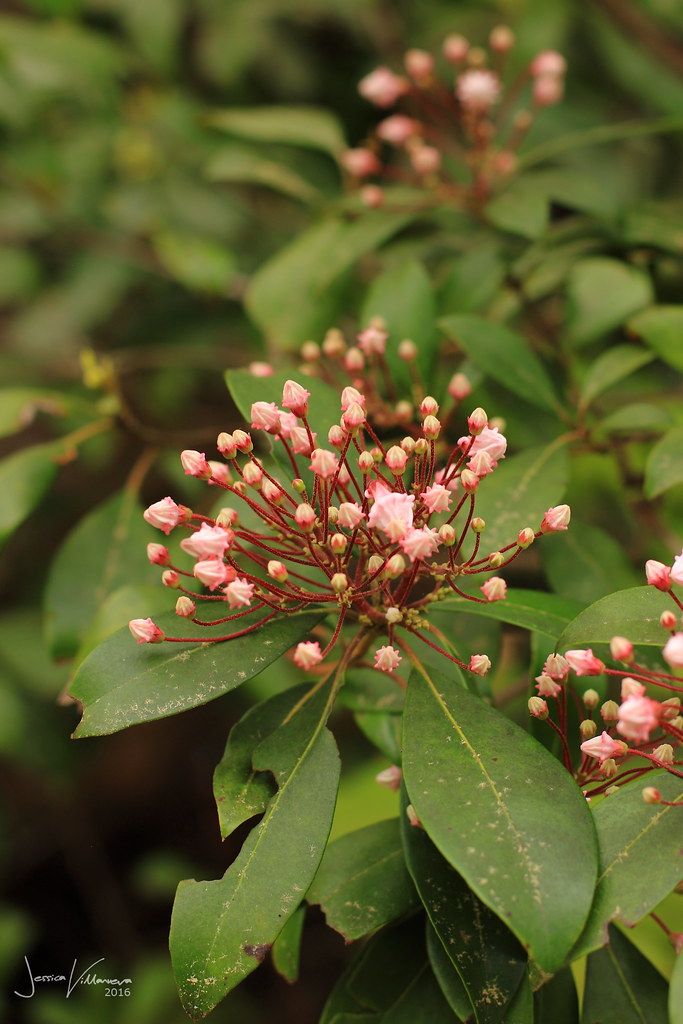
Kalmia Latifolia

Chattooga River Crayfish

James Hood

Silver Comet

Orange Glory

Feast for the Insects . . .
. . . and Visual Feast for the Cyclists

Out on a Leaf

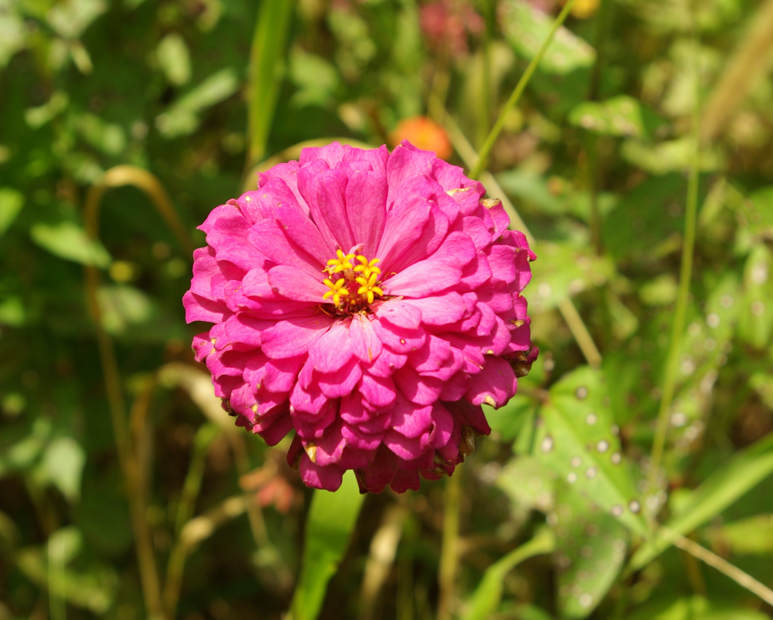
Crowned Center
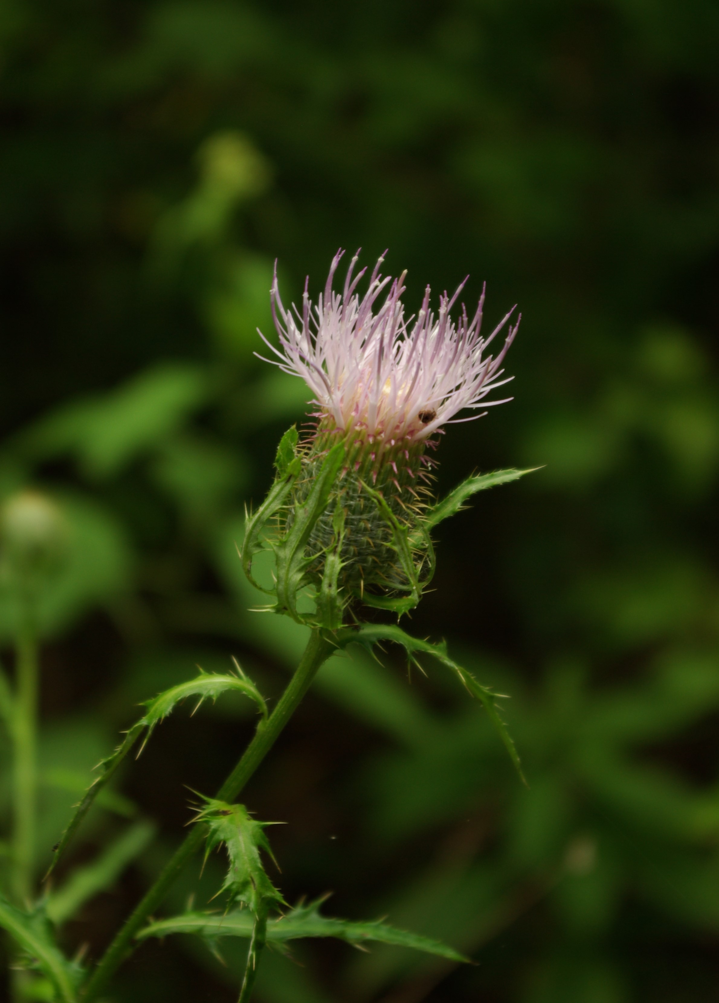
Cirsium altissimum

Tall or Roadside Thistle

Swallowtail & Thistle

Perennial Sweet Pea

Lathyrus latifolius

Highland Park

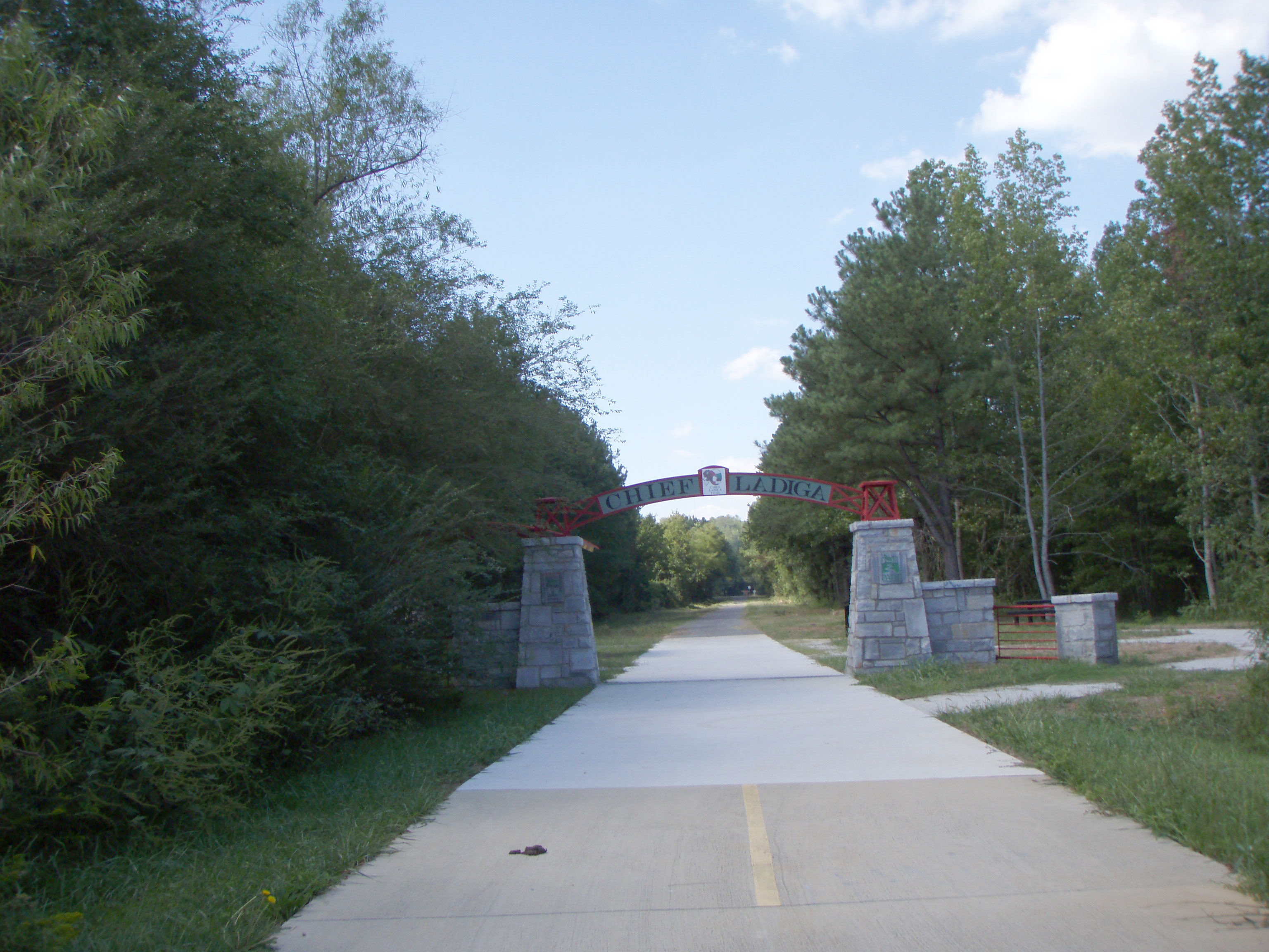
Across the Georgia State Line!
near Piedmont

Pleasant Gap Grist Mill
Topographic Map of US-, Piedmont, AL, USA
Find elevation by address:

Places near US-, Piedmont, AL, USA:
17 Hulsey Rd
Prior Station Rd, Cedartown, GA, USA
188 M C Beck Rd
County Rd 29, Piedmont, AL, USA
2201 Treat Mountain Rd
2022 Piedmont Hwy
Oak Level
13468 Co Rd 55
565 Duggar Mountain Rd
1100 Hanks Rd
726 Piedmont Hwy
Old Ladiga Rd N, Piedmont, AL, USA
County Rd 16, Centre, AL, USA
1443 Riddlespurgen Rd
Buchanan Hwy, Cedartown, GA, USA
19 Old Cedartown Rd, Cave Spring, GA, USA
Cave Spring
Cherokee County 34, Centre, AL, USA
251 Wray Mine Rd
Cedartown
Recent Searches:
- Elevation of Corso Fratelli Cairoli, 35, Macerata MC, Italy
- Elevation of Tallevast Rd, Sarasota, FL, USA
- Elevation of 4th St E, Sonoma, CA, USA
- Elevation of Black Hollow Rd, Pennsdale, PA, USA
- Elevation of Oakland Ave, Williamsport, PA, USA
- Elevation of Pedrógão Grande, Portugal
- Elevation of Klee Dr, Martinsburg, WV, USA
- Elevation of Via Roma, Pieranica CR, Italy
- Elevation of Tavkvetili Mountain, Georgia
- Elevation of Hartfords Bluff Cir, Mt Pleasant, SC, USA