Elevation of US-, Moultrie, GA, USA
Location: United States > Georgia > Colquitt County > Moultrie >
Longitude: -83.823638
Latitude: 31.0706739
Elevation: 89m / 292feet
Barometric Pressure: 100KPa
Elevation Map:
Satellite Map:
Related Photos:
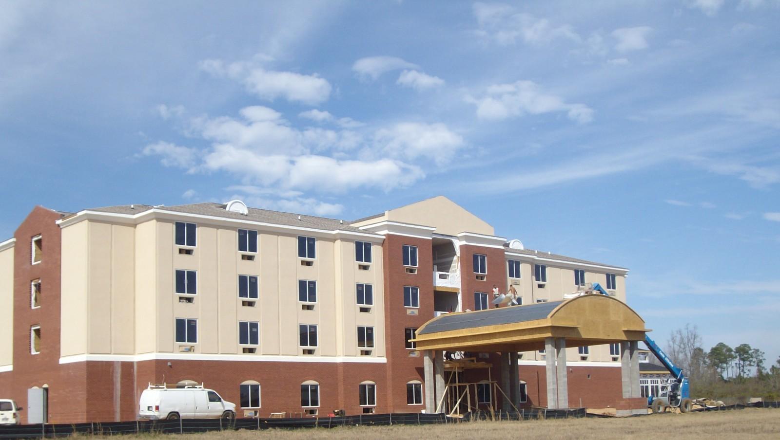
holiday inn moultrie Exterior01

Another View
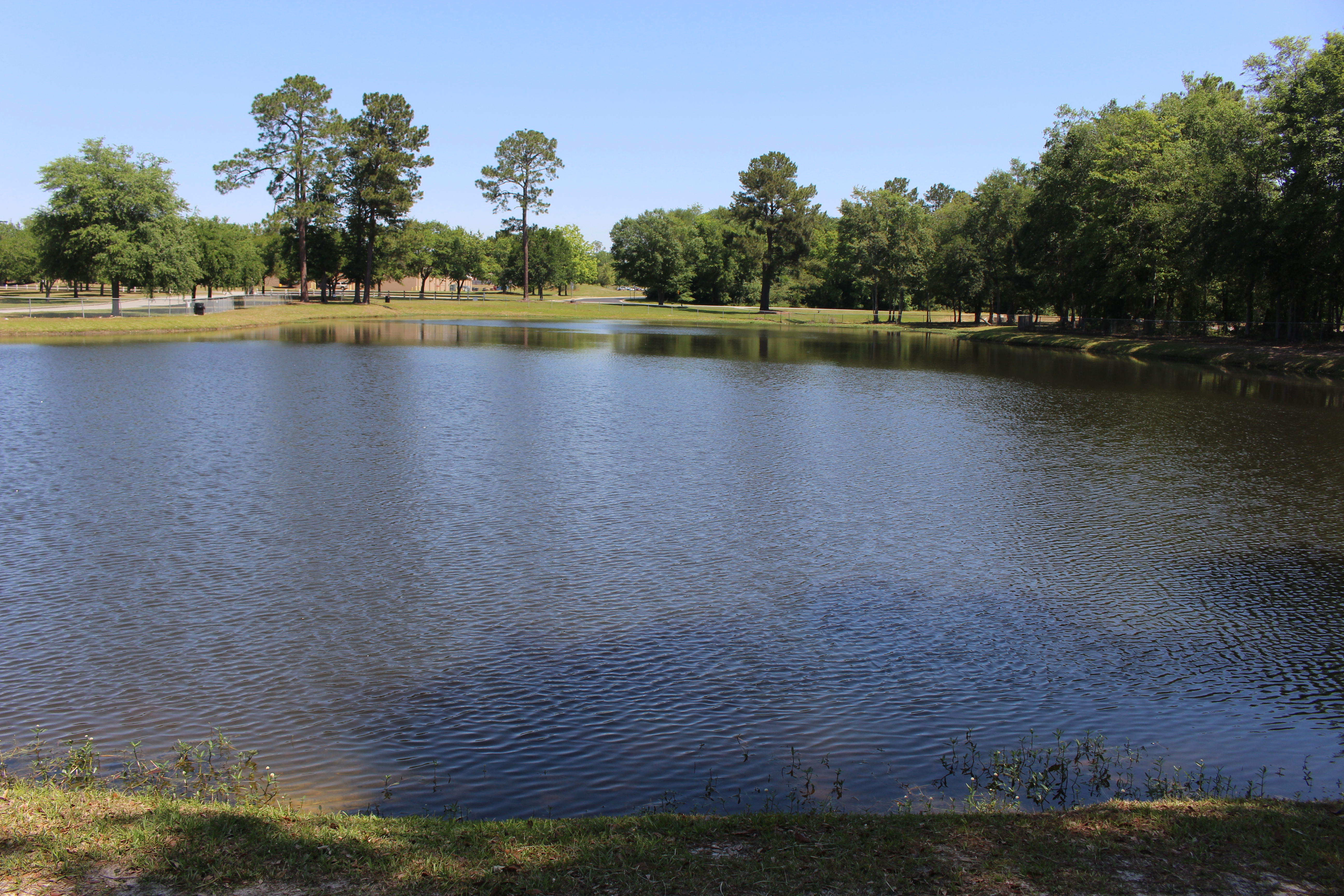
Magnolia Sports Complex, Pond from South
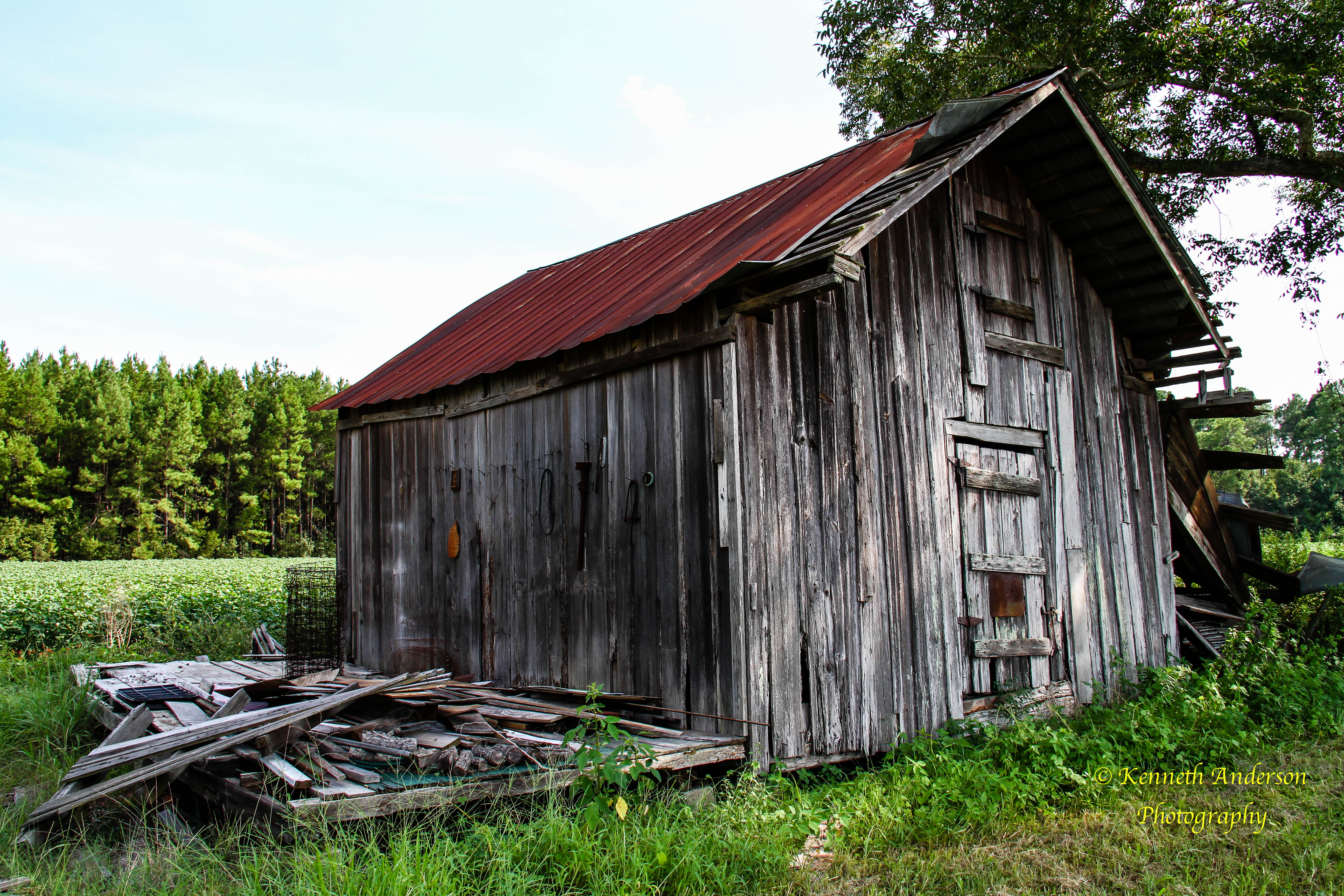
Thomas County-13

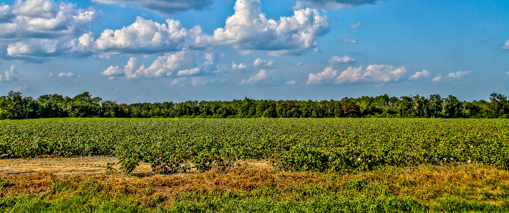
Thomas County Countryside-4

Magnolia Sports Complex, Pond Closed

IMG_4710.jpg

Thomas County-3.jpg

IMG_4711.jpg
IMG_4719.jpg

The office for today. #SouthGAShoot
IMG_4724.jpg

IMG_4718.jpg

IMG_4730.jpg
Topographic Map of US-, Moultrie, GA, USA
Find elevation by address:

Places near US-, Moultrie, GA, USA:
Murphy
Shade Murphy Road
Gene McQueen Rd, Moultrie, GA, USA
Coolidge
N Pine St, Coolidge, GA, USA
144 Bull Creek Rd
5th St SE, Moultrie, GA, USA
Lone Church Rd, Pavo, GA, USA
1137 Walden Rd
928 Walden Rd
W Central Ave, Moultrie, GA, USA
Moultrie
11655 Salem Rd
418 Dorminey Rd
Dillon Rd, Thomasville, GA, USA
Church St SW, Moultrie, GA, USA
2082 S Roberts St
Colquitt County
Pavo
200 Scites Ln
Recent Searches:
- Elevation of Congressional Dr, Stevensville, MD, USA
- Elevation of Bellview Rd, McLean, VA, USA
- Elevation of Stage Island Rd, Chatham, MA, USA
- Elevation of Shibuya Scramble Crossing, 21 Udagawacho, Shibuya City, Tokyo -, Japan
- Elevation of Jadagoniai, Kaunas District Municipality, Lithuania
- Elevation of Pagonija rock, Kranto 7-oji g. 8"N, Kaunas, Lithuania
- Elevation of Co Rd 87, Jamestown, CO, USA
- Elevation of Tenjo, Cundinamarca, Colombia
- Elevation of Côte-des-Neiges, Montreal, QC H4A 3J6, Canada
- Elevation of Bobcat Dr, Helena, MT, USA