Elevation of US Hwy 63, Licking, MO, USA
Location: United States > Missouri > Texas County > Sherrill Township > Licking >
Longitude: -91.869920
Latitude: 37.4301689
Elevation: 404m / 1325feet
Barometric Pressure: 97KPa
Elevation Map:
Satellite Map:
Related Photos:

The Falls at Dusk

2012-07-26 20.35.08

2012-04-07 11.45.20

First time mushroom hunting was a success! #morelmushrooms

LICKING.

LICKING.

LICKING.

Abandoned Gas Station

Abandoned Gas Station

Virginia Creeper

Rusted Station Pump

Abandoned Gas Station

Post Office 65555 (Raymondville, Missouri)

Texas County CH

Elishah Nickels - Farm Selfie

Elishah Nickels - Breakfast on the Tractor

Elishah Nickels - Pretty Bales

Donna Decker - Sneaky Snake

Post Office

Mitchell Insurance
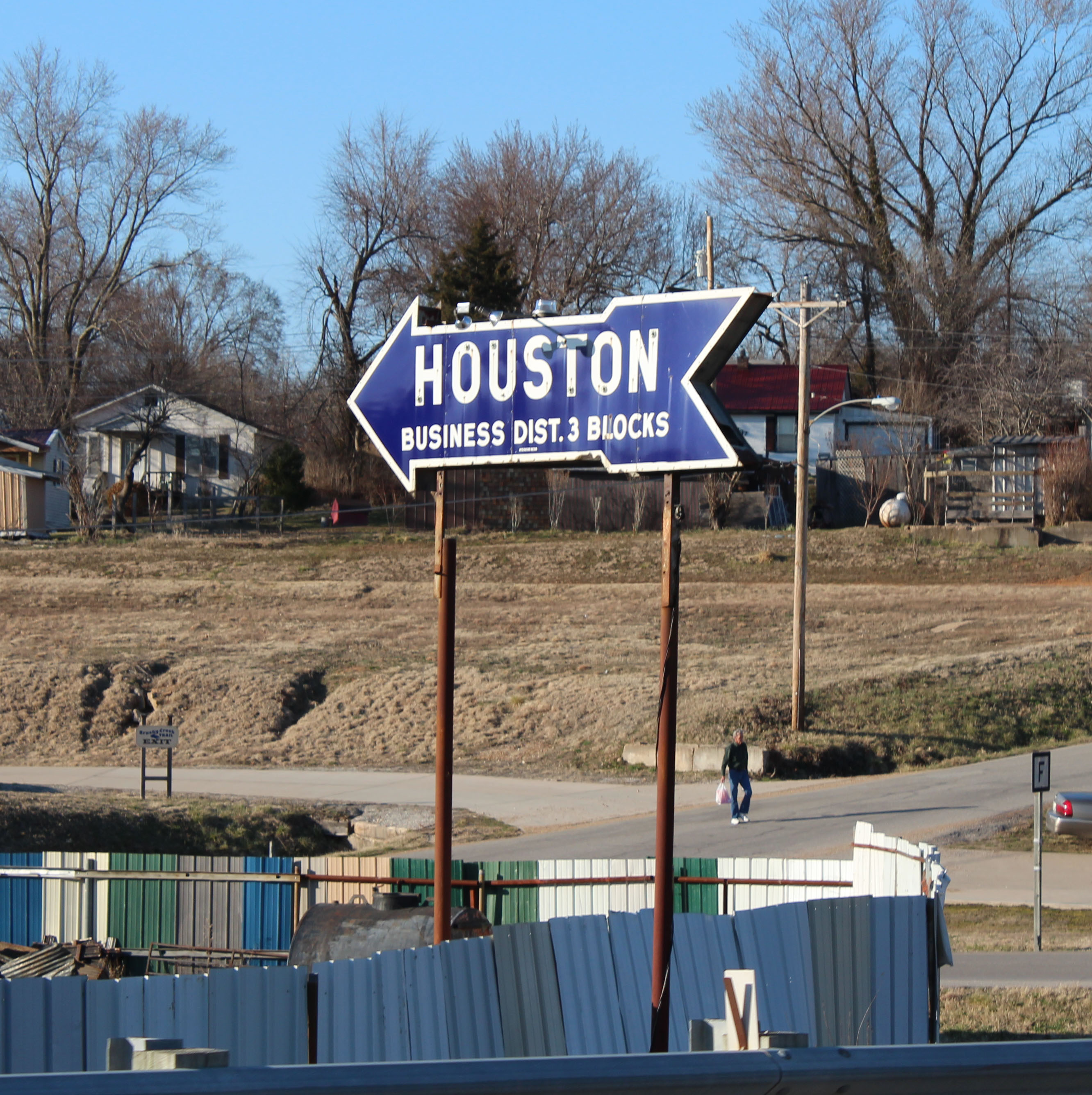
This-a-way

Main Theater

Texas County Memorial Building, Houston (Mo.), 12 September 2013

Texas County Memorial Building, Houston (Mo.), 12 September 2013
Topographic Map of US Hwy 63, Licking, MO, USA
Find elevation by address:

Places near US Hwy 63, Licking, MO, USA:
Licking
228 Mo-32
Texas County
18918 Mo-32
18918 Mo-32
11620 Slaughter Rd
16500 Cathcart Dr
Sherrill Township
Raymondville
12575 Kitchem Dr
Lynch Township
8398 Fisher Dr
Missouri 32
15856 Decker Rd
Jackson Township
26521 Hwy N
Houston
Kimble Rd, Licking, MO, USA
Hazelton Dr, Licking, MO, USA
10395 Prairie Rd
Recent Searches:
- Elevation of Leguwa, Nepal
- Elevation of County Rd, Enterprise, AL, USA
- Elevation of Kolchuginsky District, Vladimir Oblast, Russia
- Elevation of Shustino, Vladimir Oblast, Russia
- Elevation of Lampiasi St, Sarasota, FL, USA
- Elevation of Elwyn Dr, Roanoke Rapids, NC, USA
- Elevation of Congressional Dr, Stevensville, MD, USA
- Elevation of Bellview Rd, McLean, VA, USA
- Elevation of Stage Island Rd, Chatham, MA, USA
- Elevation of Shibuya Scramble Crossing, 21 Udagawacho, Shibuya City, Tokyo -, Japan