Elevation of US Highway 17 Bypass South, Myrtle Beach, SC, USA
Location: United States > South Carolina > Horry County > Myrtle Beach >
Longitude: -78.986973
Latitude: 33.6462636
Elevation: 8m / 26feet
Barometric Pressure: 101KPa
Elevation Map:
Satellite Map:
Related Photos:

Little golf getaway weekend. ????⛳
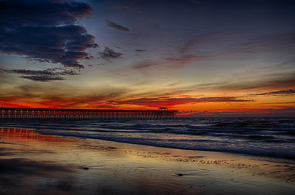
Myrtle Beach Sunset

The Atlantic

Feeling Blue

Night Skyline - Myrtle Beach (South Carolina)

Fishing at Dusk

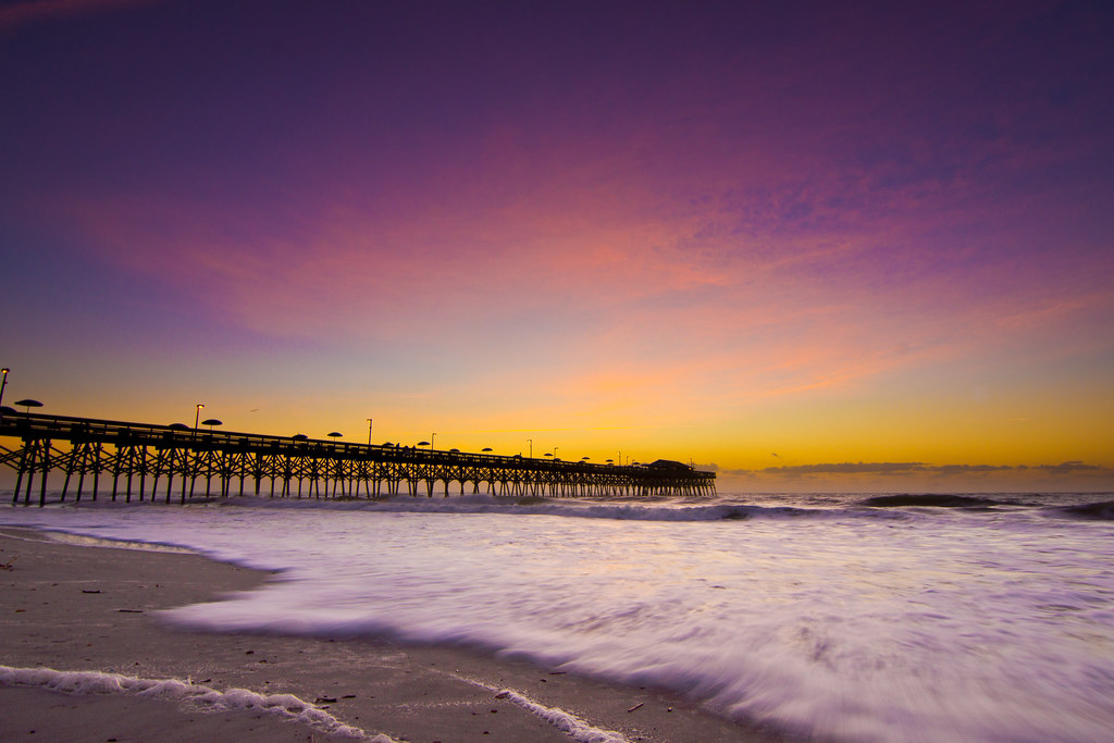
Myrtle Beach Sunset
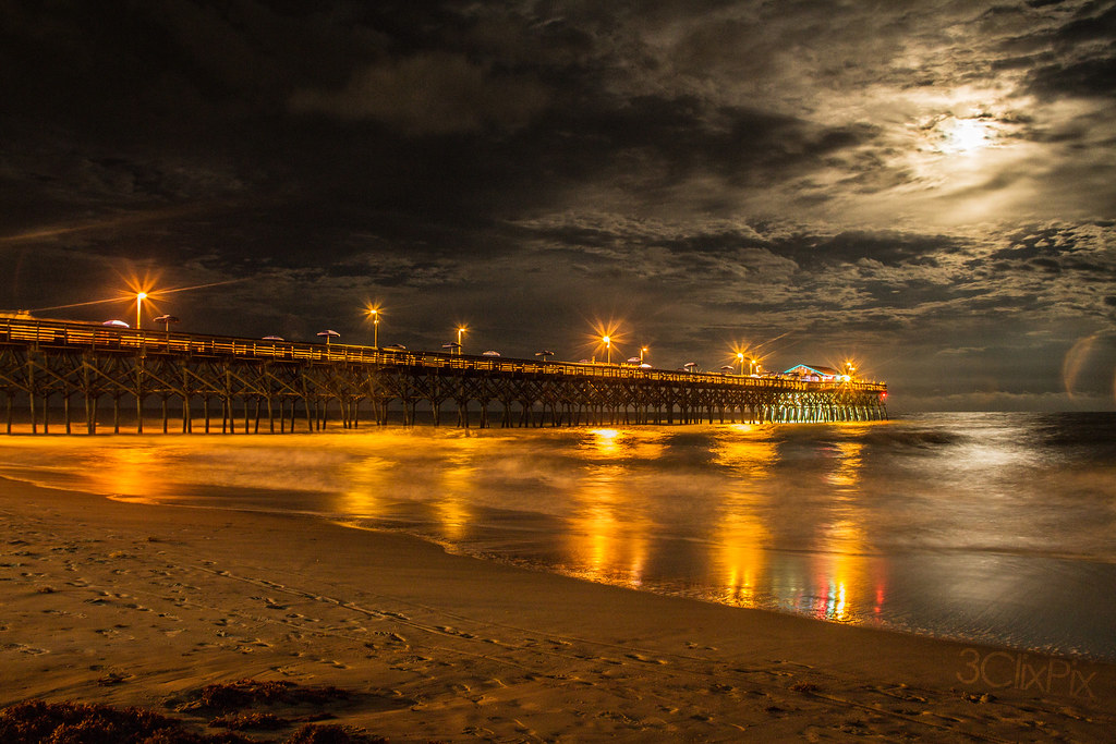
Moon Light
IMG_0438x3hdr.jpg
Rolling Tide

Atlantic Wave
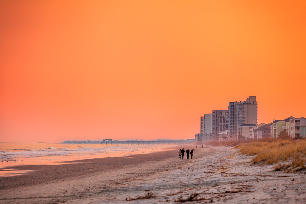
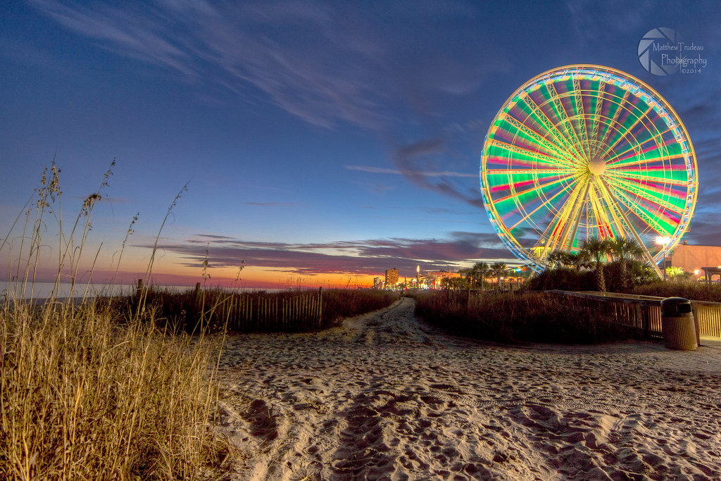
Orange Myrtle Beach

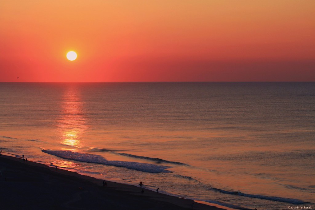
Early start to the day

Waving in the wind

Sea Oats
Dawn at the Beach

B&W Beach

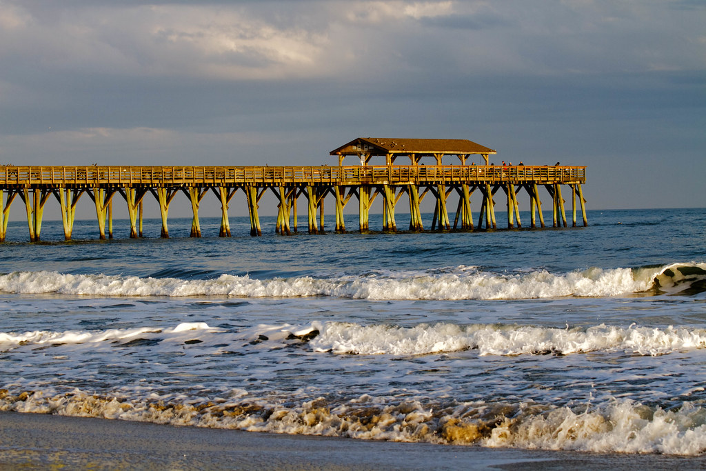
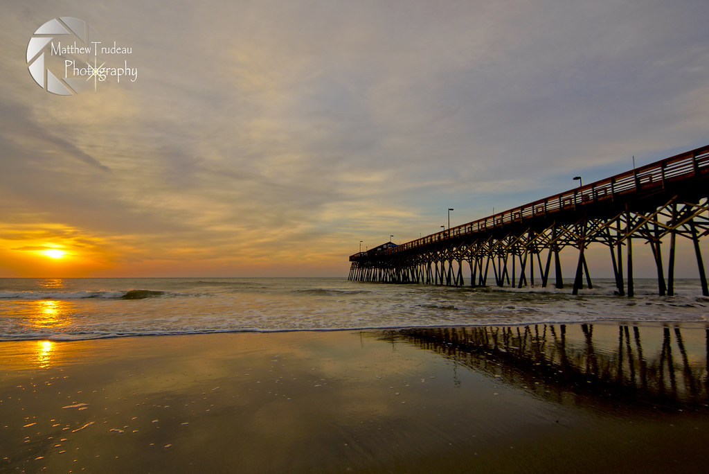
Sunrise at the Pier
_DSC1551 copy
Life's a Beach

Happy Fourth of July!
Topographic Map of US Highway 17 Bypass South, Myrtle Beach, SC, USA
Find elevation by address:

Places near US Highway 17 Bypass South, Myrtle Beach, SC, USA:
Ella Kinley Circle
101 Ella Kinley Cir
3745 Kingsley Dr
1559 Coventry Rd
Devon Estate Avenue
315 Deerfield Links Dr
3112 Dick Pond Rd
344 Deerfield Links Dr
1475 Westferry Crossing
8756 Us Highway 17 Bypass South
842 Devon Estate Ave
2160 Deerfield Ave
2120 Deerfield Ave
451 Deerfield Links Dr
2080 Cross Gate Blvd #103
1811 Wexford Ct
1916 Sandpiper Ln
2000 Cross Gate Blvd
1471 Gibson Ave
1741 Gibson Ave
Recent Searches:
- Elevation of Woodland Oak Pl, Thousand Oaks, CA, USA
- Elevation of Brownsdale Rd, Renfrew, PA, USA
- Elevation of Corcoran Ln, Suffolk, VA, USA
- Elevation of Mamala II, Sariaya, Quezon, Philippines
- Elevation of Sarangdanda, Nepal
- Elevation of 7 Waterfall Way, Tomball, TX, USA
- Elevation of SW 57th Ave, Portland, OR, USA
- Elevation of Crocker Dr, Vacaville, CA, USA
- Elevation of Pu Ngaol Community Meeting Hall, HWHM+3X7, Krong Saen Monourom, Cambodia
- Elevation of Royal Ontario Museum, Queens Park, Toronto, ON M5S 2C6, Canada