Elevation of US-, Double Springs, AL, USA
Location: United States > Alabama > Winston County > Double Springs >
Longitude: -87.329104
Latitude: 34.139893
Elevation: 220m / 722feet
Barometric Pressure: 99KPa
Elevation Map:
Satellite Map:
Related Photos:
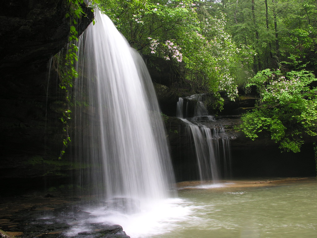
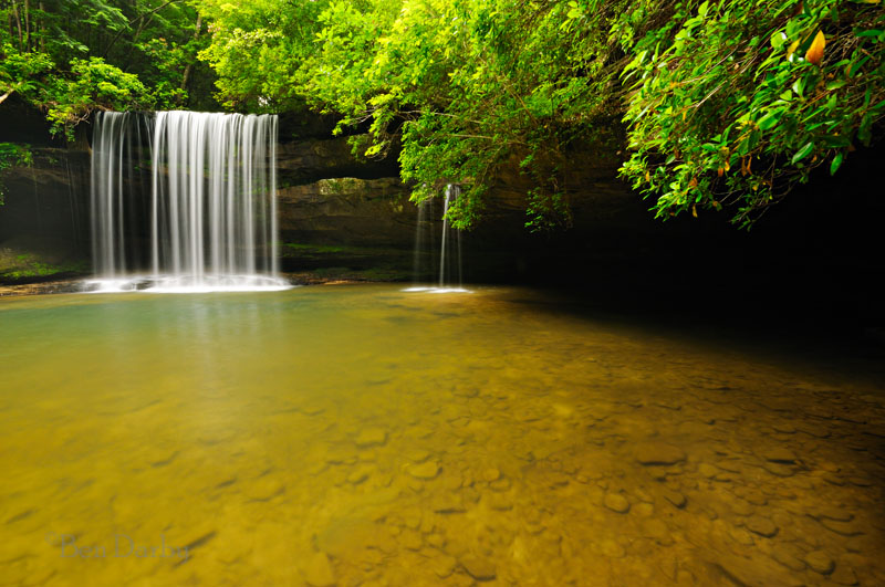
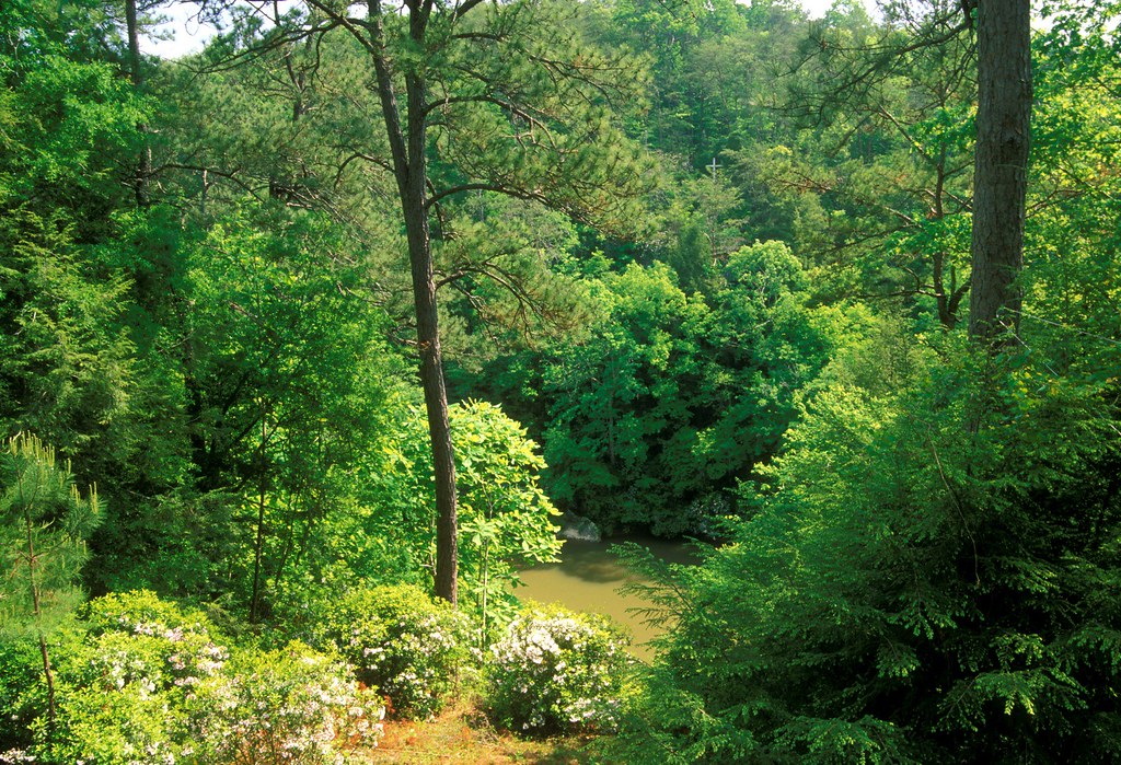
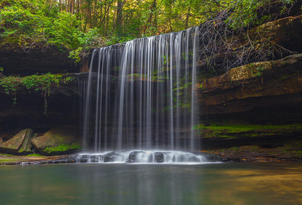
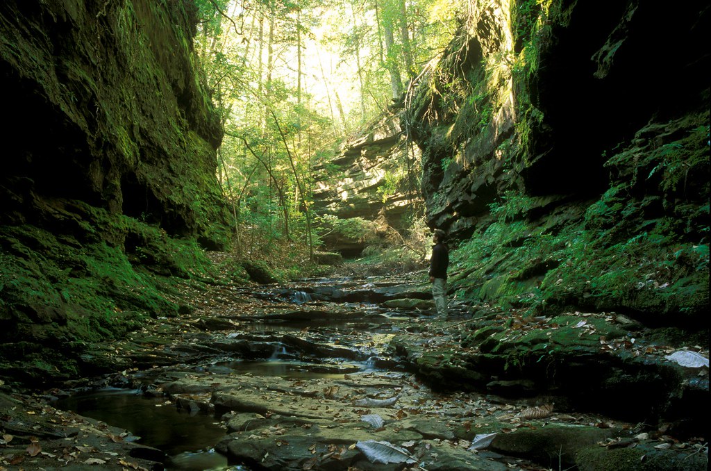
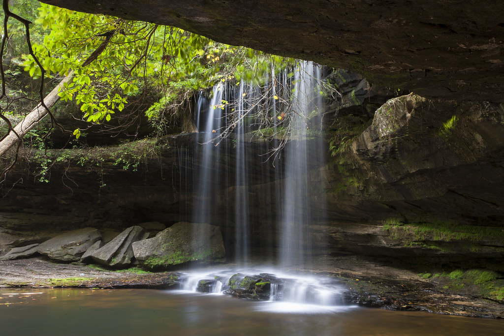
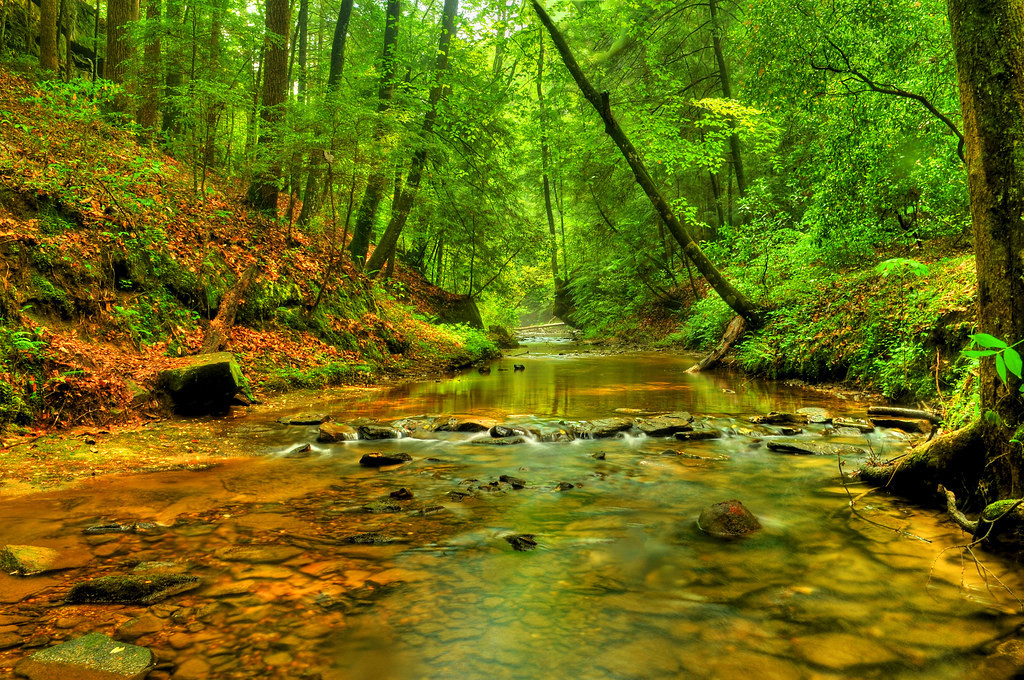
Upper Caney Creek Falls

My Kind of Place
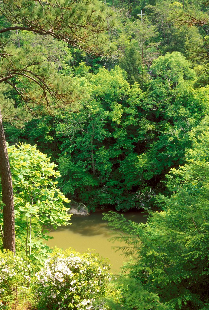
View from Eppes
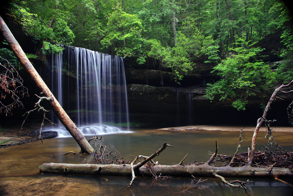
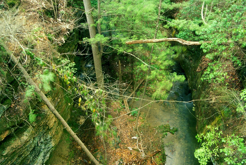
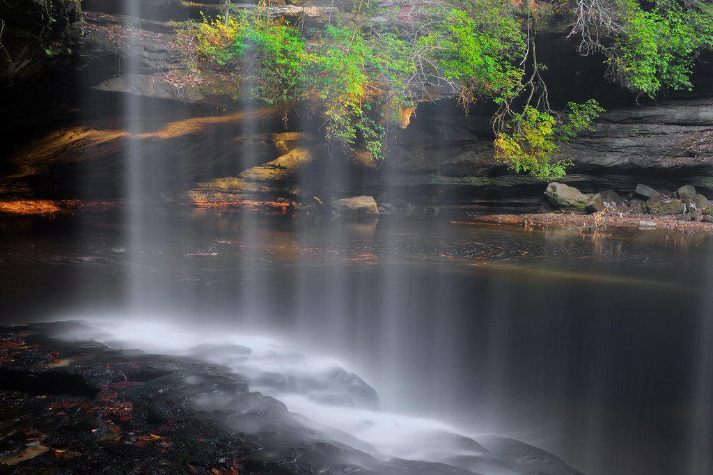
Caney Creek Falls & Logs
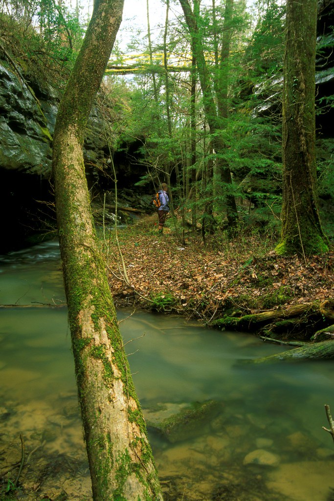
Return to Caney Creek
Minimalist Caney
IMG_0187-1
First impressions
Fall City
View from Eppes
Heatherbrook Canyon
Heatherbrook Canyon

One Fine Day!
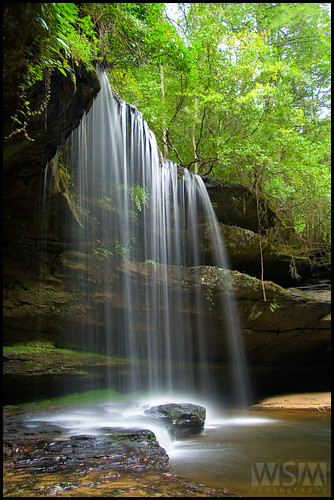
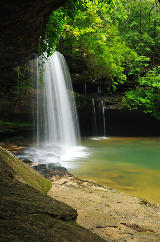
Caney Creek Upper Falls
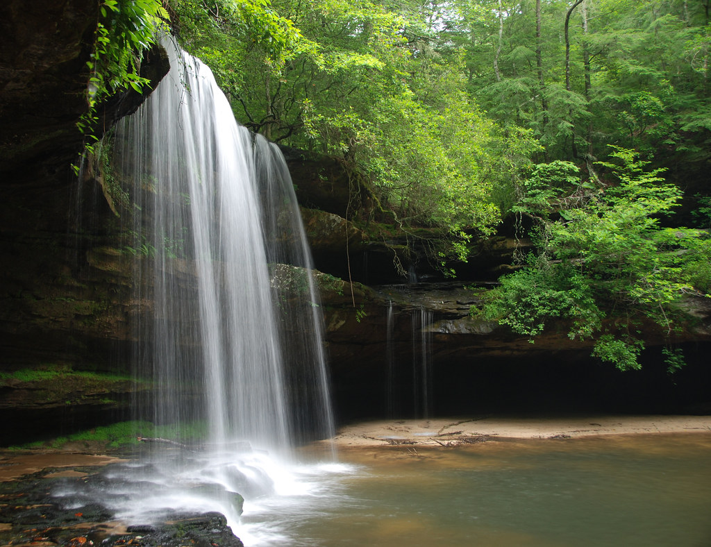
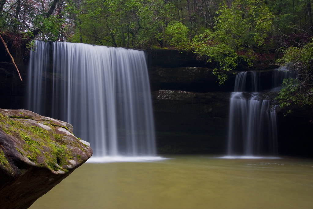
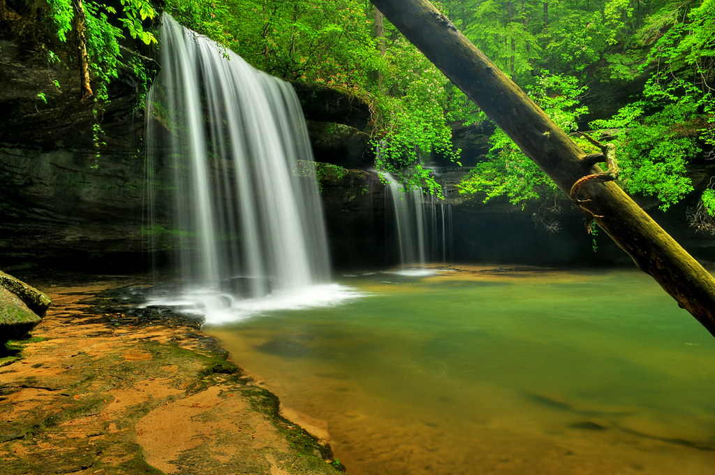
Caney Creek Falls
Sunrise at Upper Caney Creek Falls
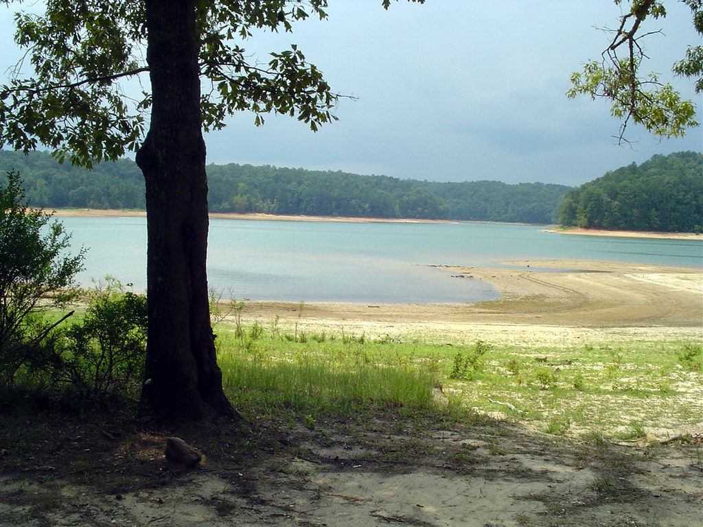
The Big Spill at Pleasant Hill
Caney Creek Falls

Caney Creek Falls...
Lethe Brook
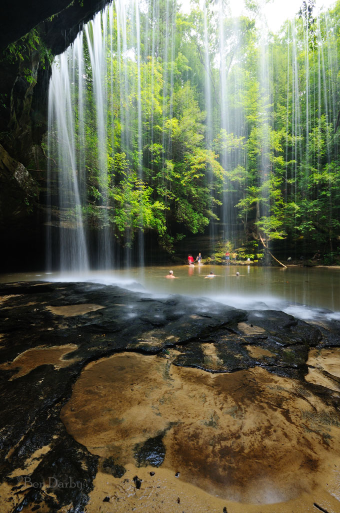
Swimming Hole
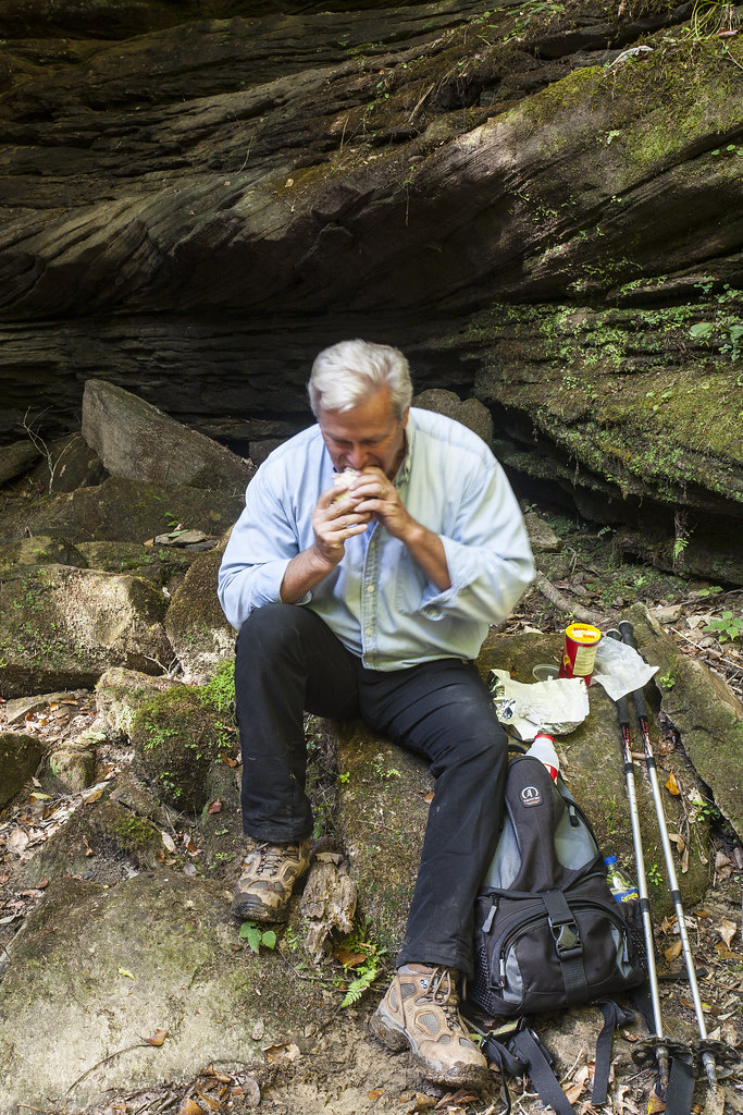
Caney Creek Repast

Heatherbrook Canyon
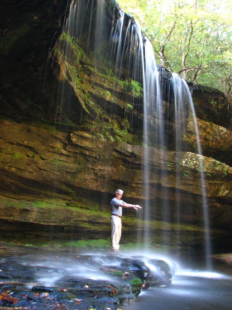
Caney Creek Codger
Picnic in the Park
Caney Falls
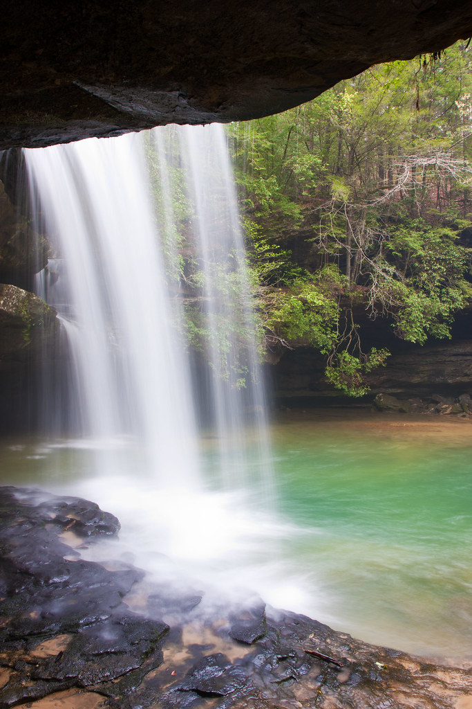
Upper Caney Creek Falls
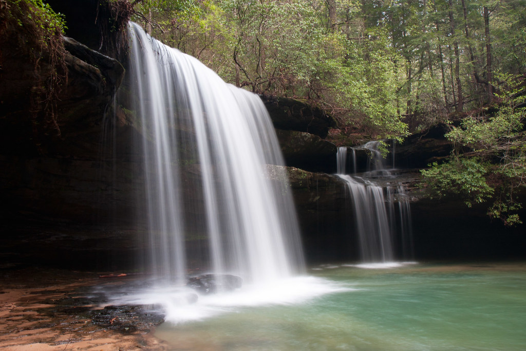
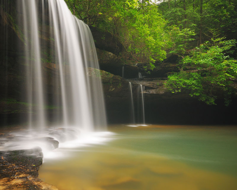
Caney Creek Falls

Caney Falls
Turkey Foot Creek
Topographic Map of US-, Double Springs, AL, USA
Find elevation by address:

Places near US-, Double Springs, AL, USA:
20401 Us-278
20401 Us-278
226 E Lakeshore Dr
364 E Lakeshore Dr
364 E Lakeshore Dr
364 E Lakeshore Dr
364 E Lakeshore Dr
364 E Lakeshore Dr
Winston County
30 County Rd 165
30 County Rd 165
Corinth Recreation Area (recgovnpsdata)
Campground Road
1094 Blake Dr
Houston
Double Springs
County Road 78
Dr. Andrea Batchlor
1193 Co Rd 78
Bankhead National Forest
Recent Searches:
- Elevation of Elwyn Dr, Roanoke Rapids, NC, USA
- Elevation of Congressional Dr, Stevensville, MD, USA
- Elevation of Bellview Rd, McLean, VA, USA
- Elevation of Stage Island Rd, Chatham, MA, USA
- Elevation of Shibuya Scramble Crossing, 21 Udagawacho, Shibuya City, Tokyo -, Japan
- Elevation of Jadagoniai, Kaunas District Municipality, Lithuania
- Elevation of Pagonija rock, Kranto 7-oji g. 8"N, Kaunas, Lithuania
- Elevation of Co Rd 87, Jamestown, CO, USA
- Elevation of Tenjo, Cundinamarca, Colombia
- Elevation of Côte-des-Neiges, Montreal, QC H4A 3J6, Canada