Elevation of US-, Bronte, TX, USA
Location: United States > Texas > Coke County > Bronte >
Longitude: -100.27800
Latitude: 31.9994007
Elevation: 637m / 2090feet
Barometric Pressure: 94KPa
Elevation Map:
Satellite Map:
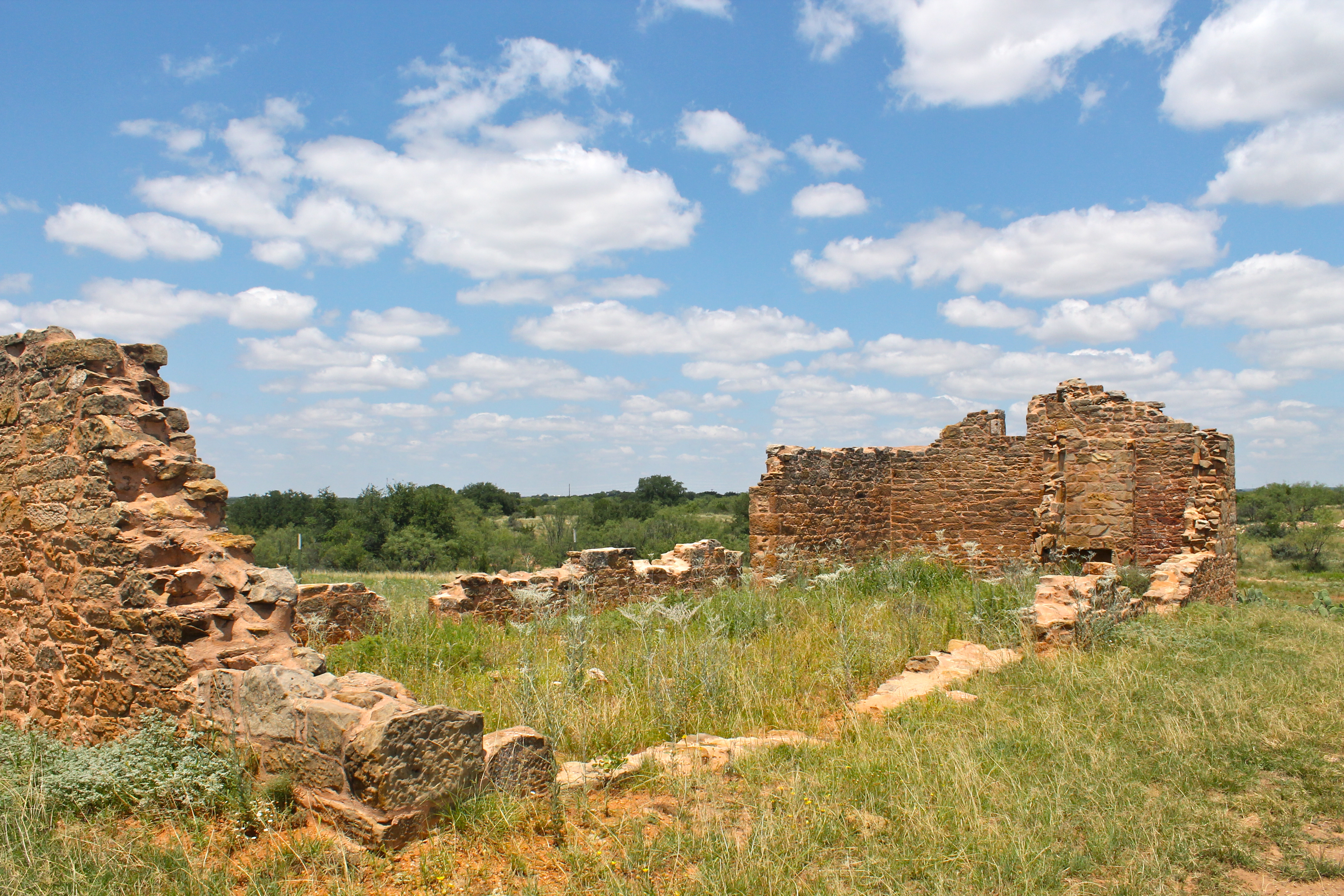
Related Photos:

snake country

About ten miles west of the center most point of Texas.
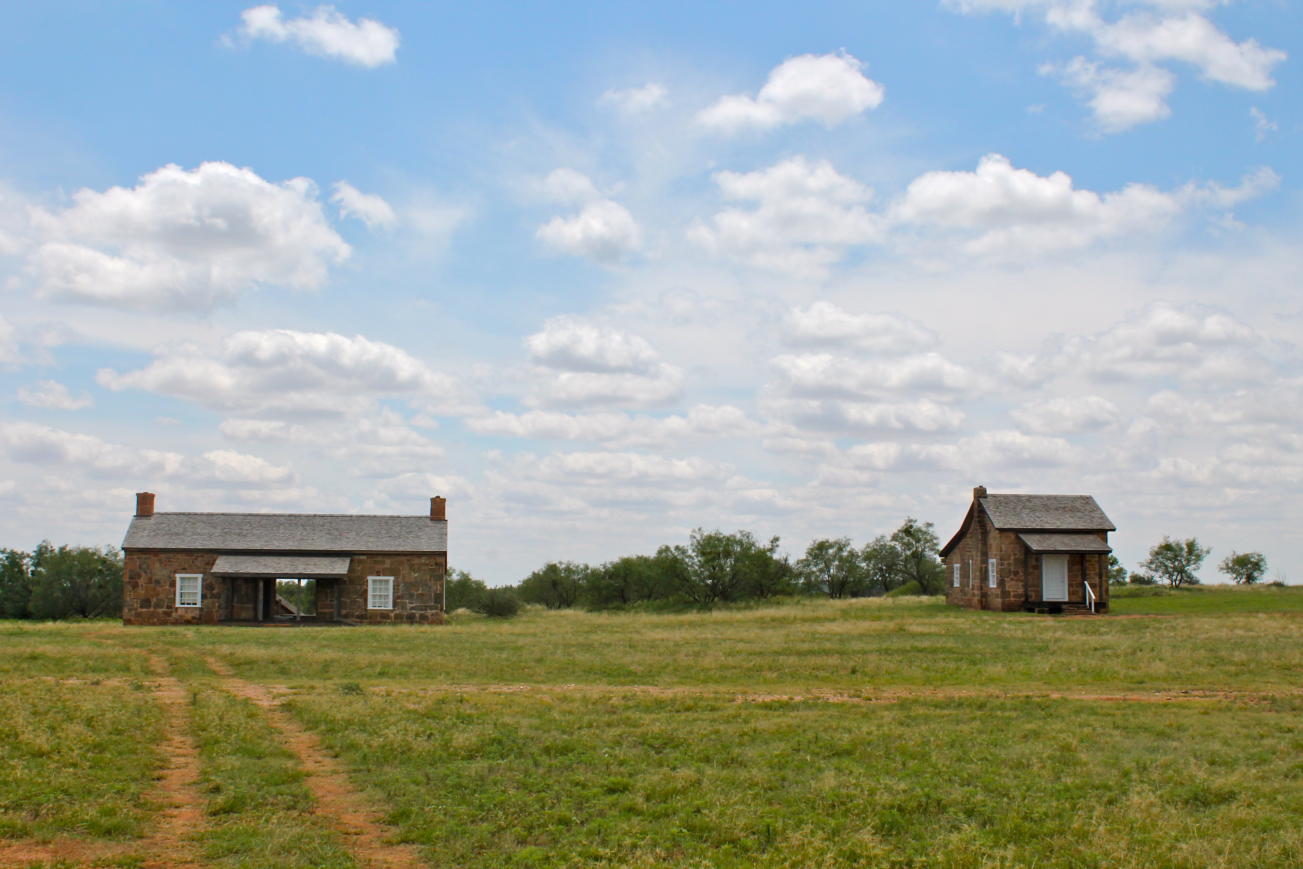
Officer's Quarters
Hospital Building
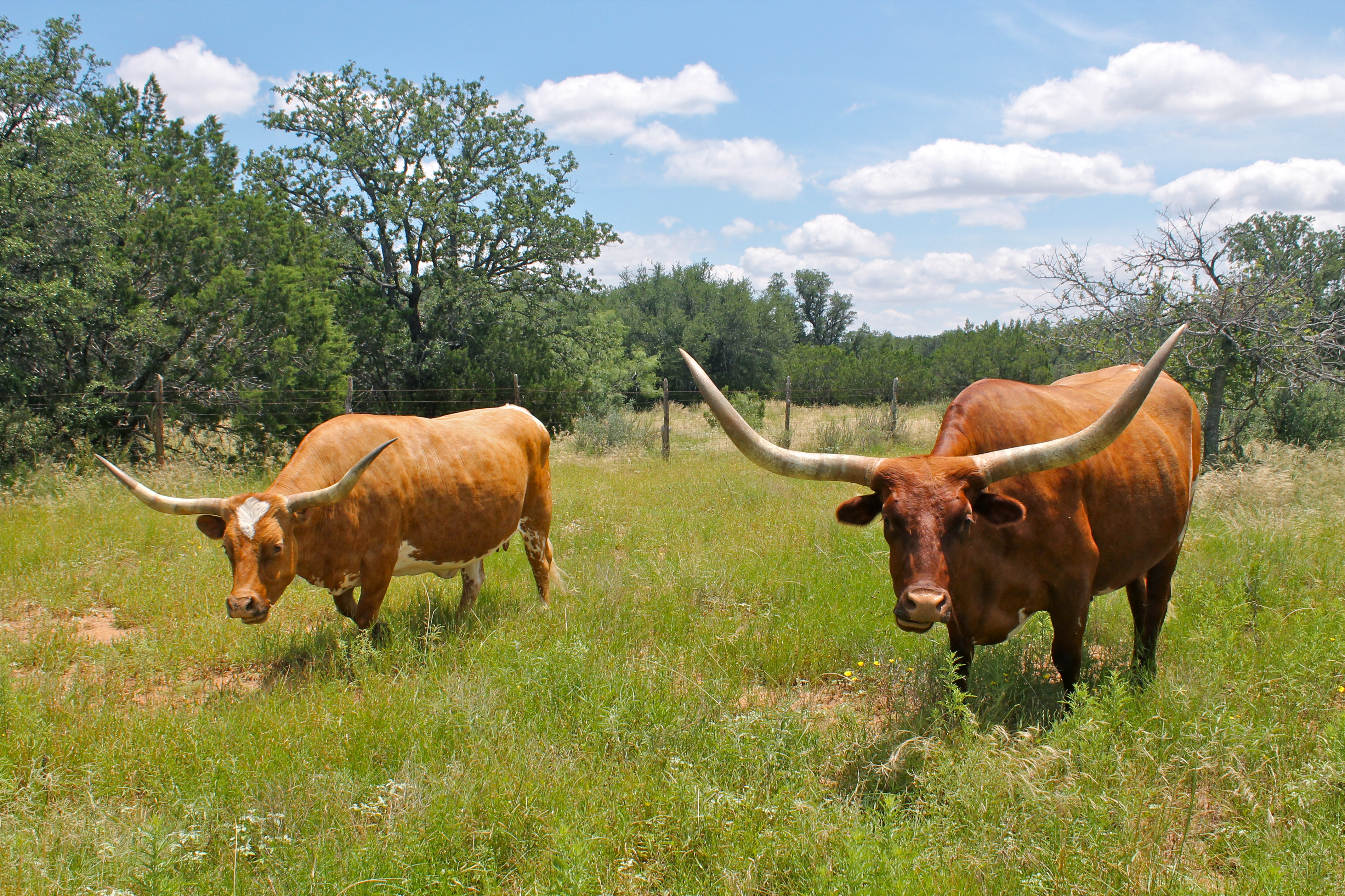
Texas Longhorn Cattle
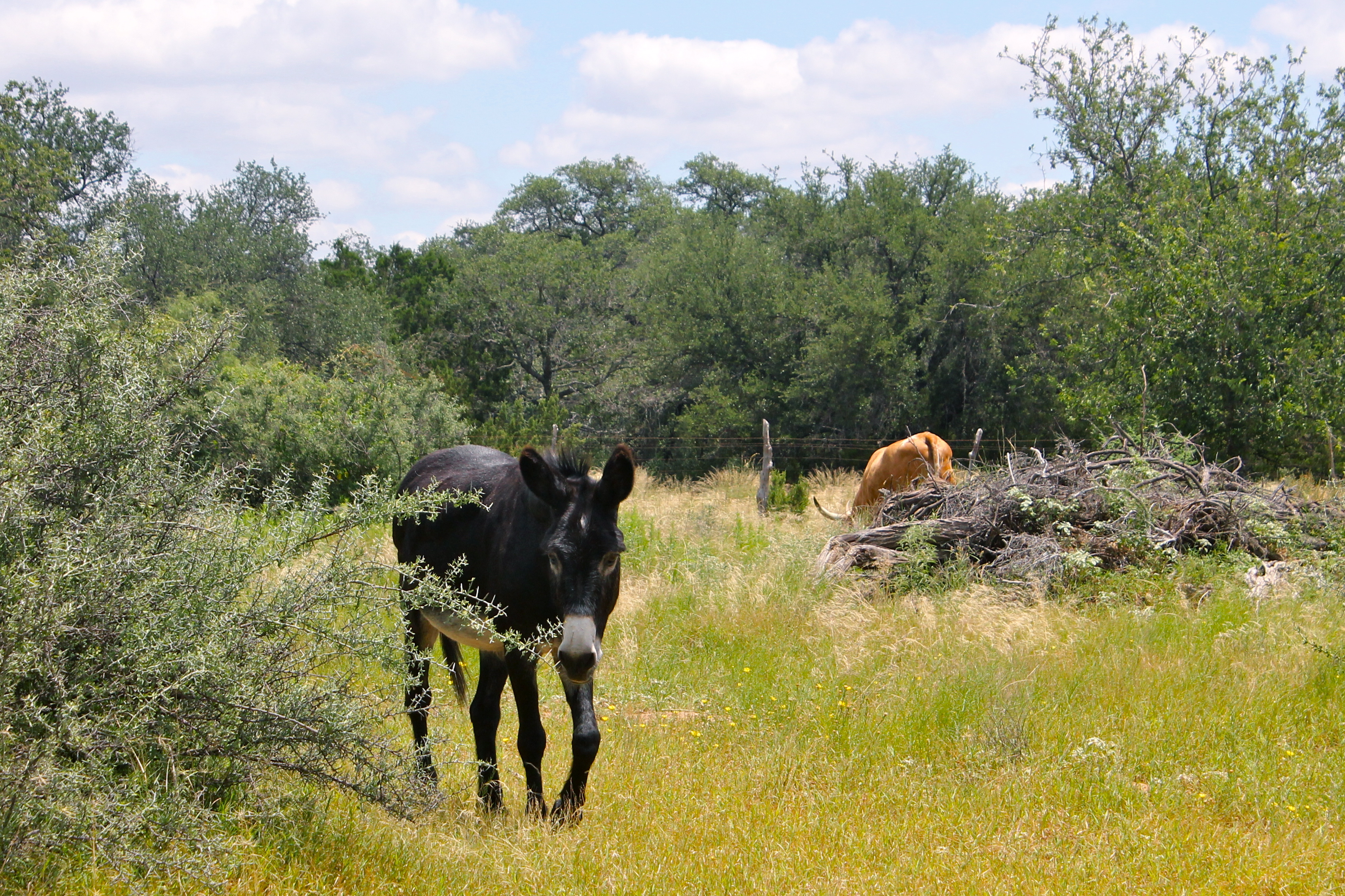
Black Mule
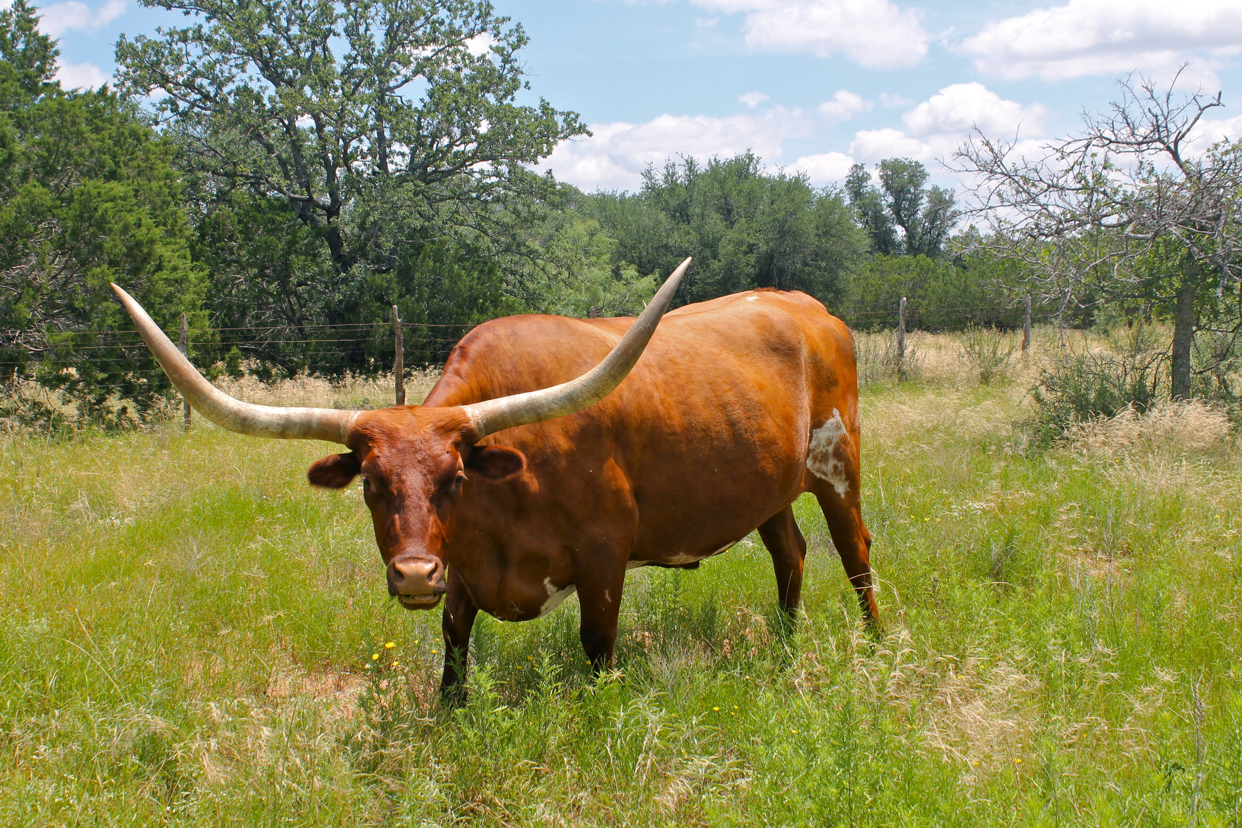
Texas Longhorn Cow
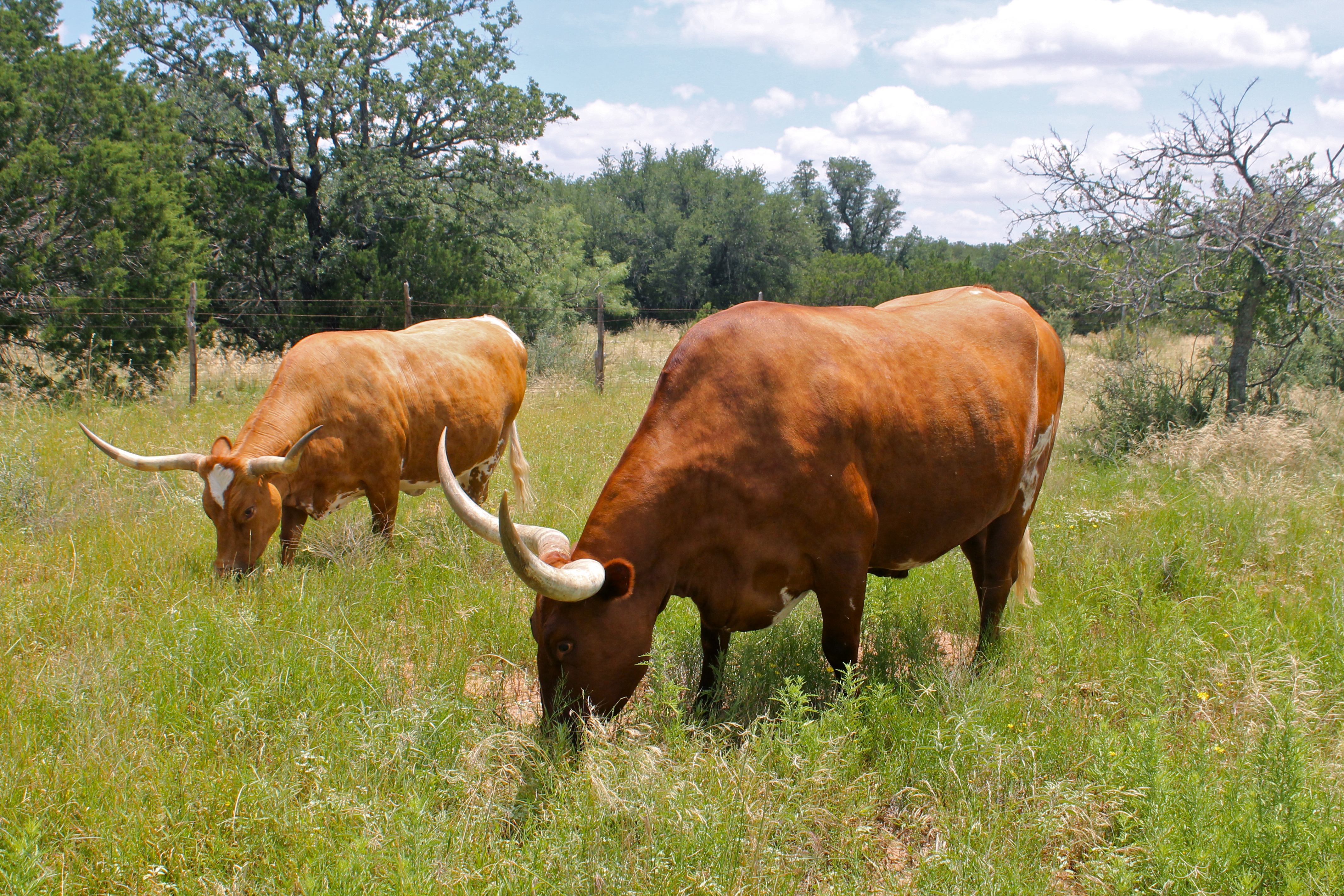
Texas Longhorn Cattle
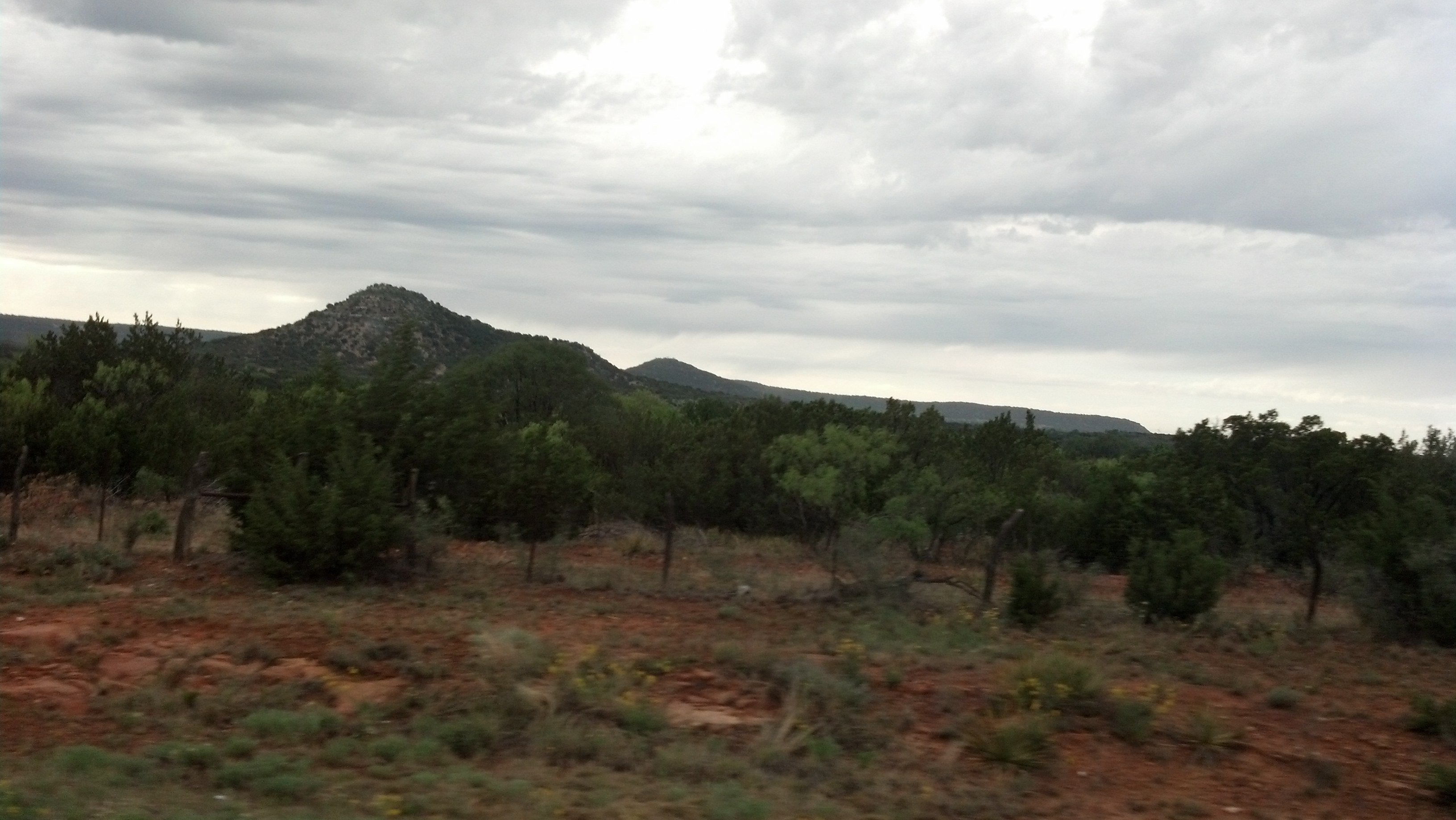
Runnels County, Texas
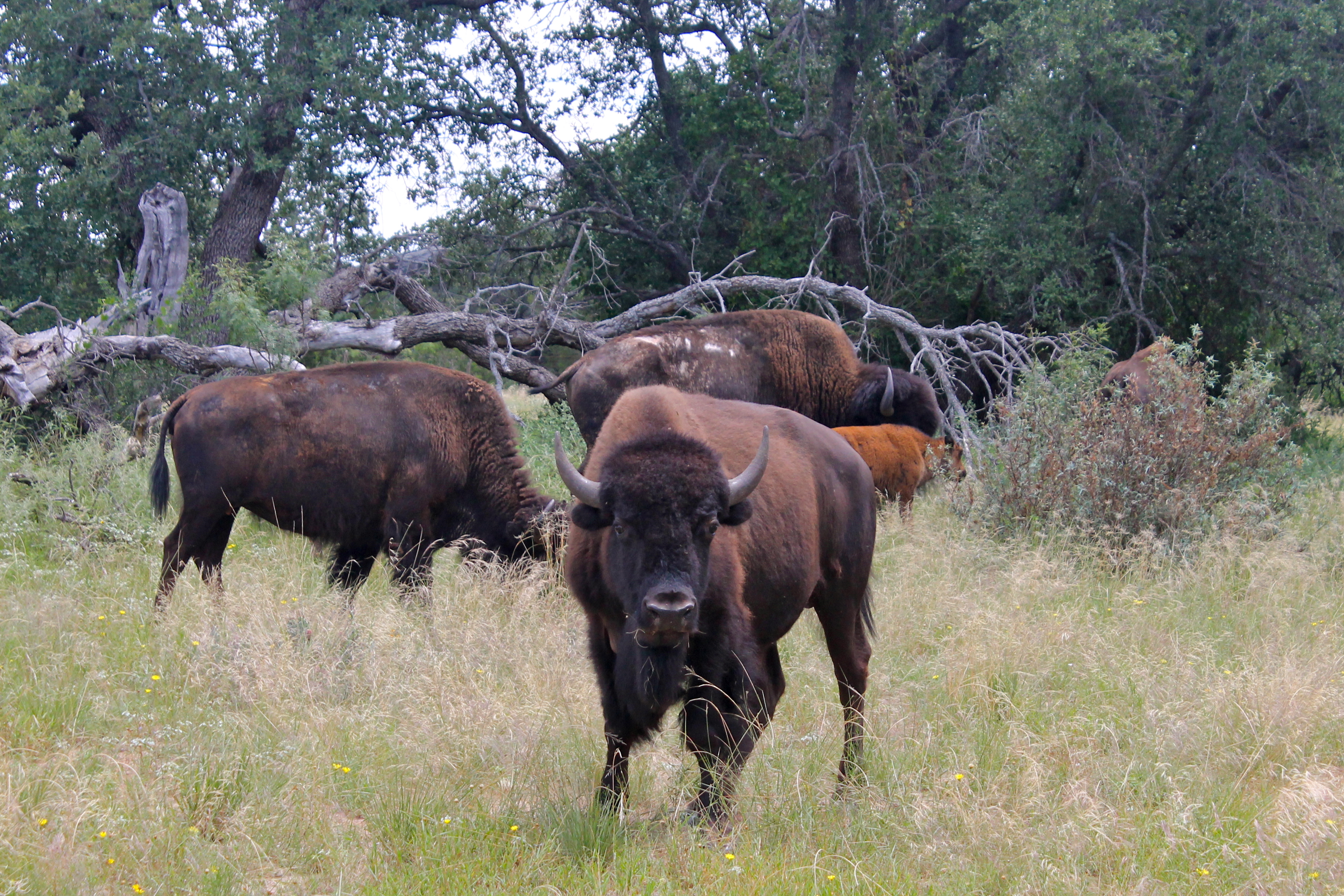
Buffalo Herd
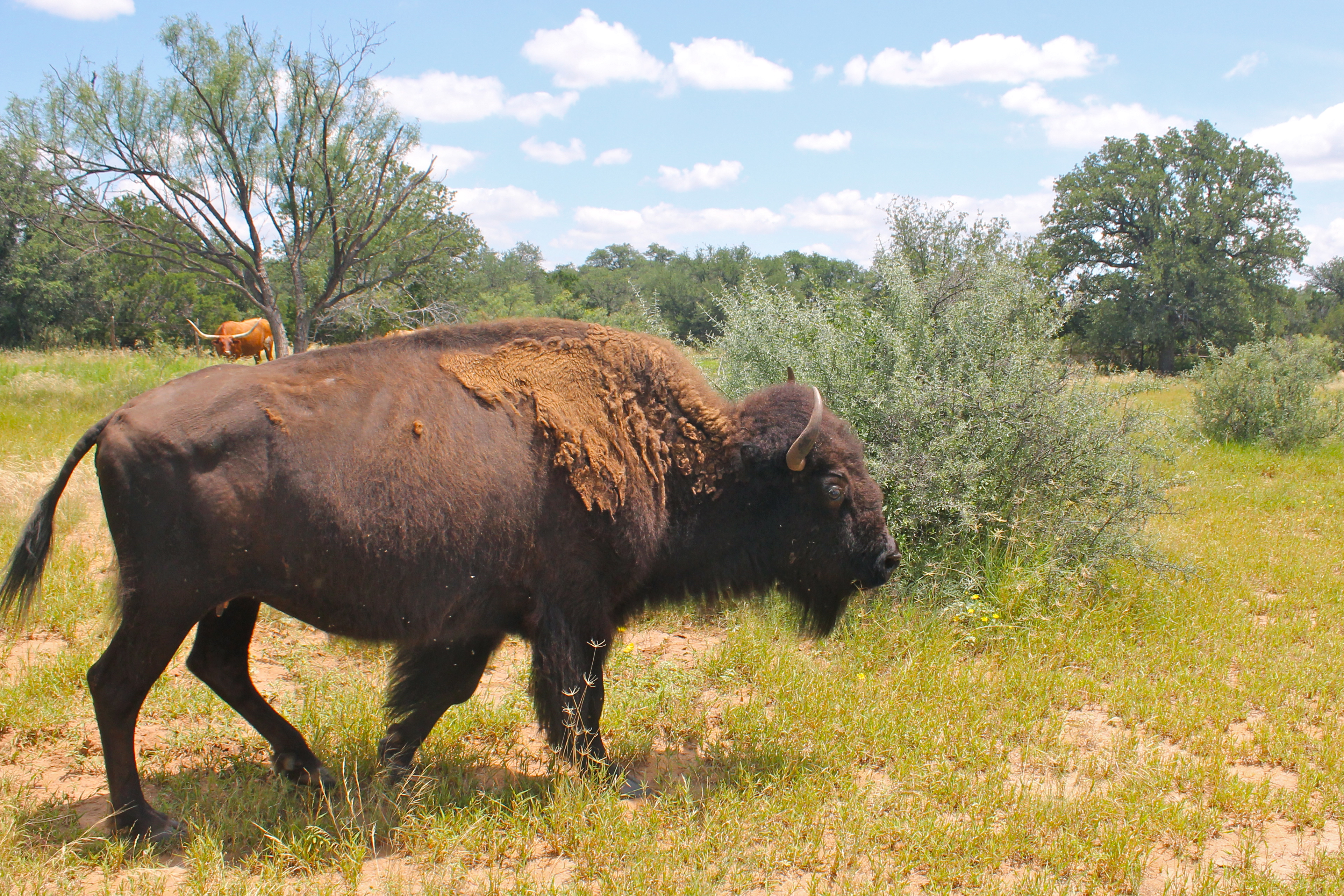
Buffalo Cow
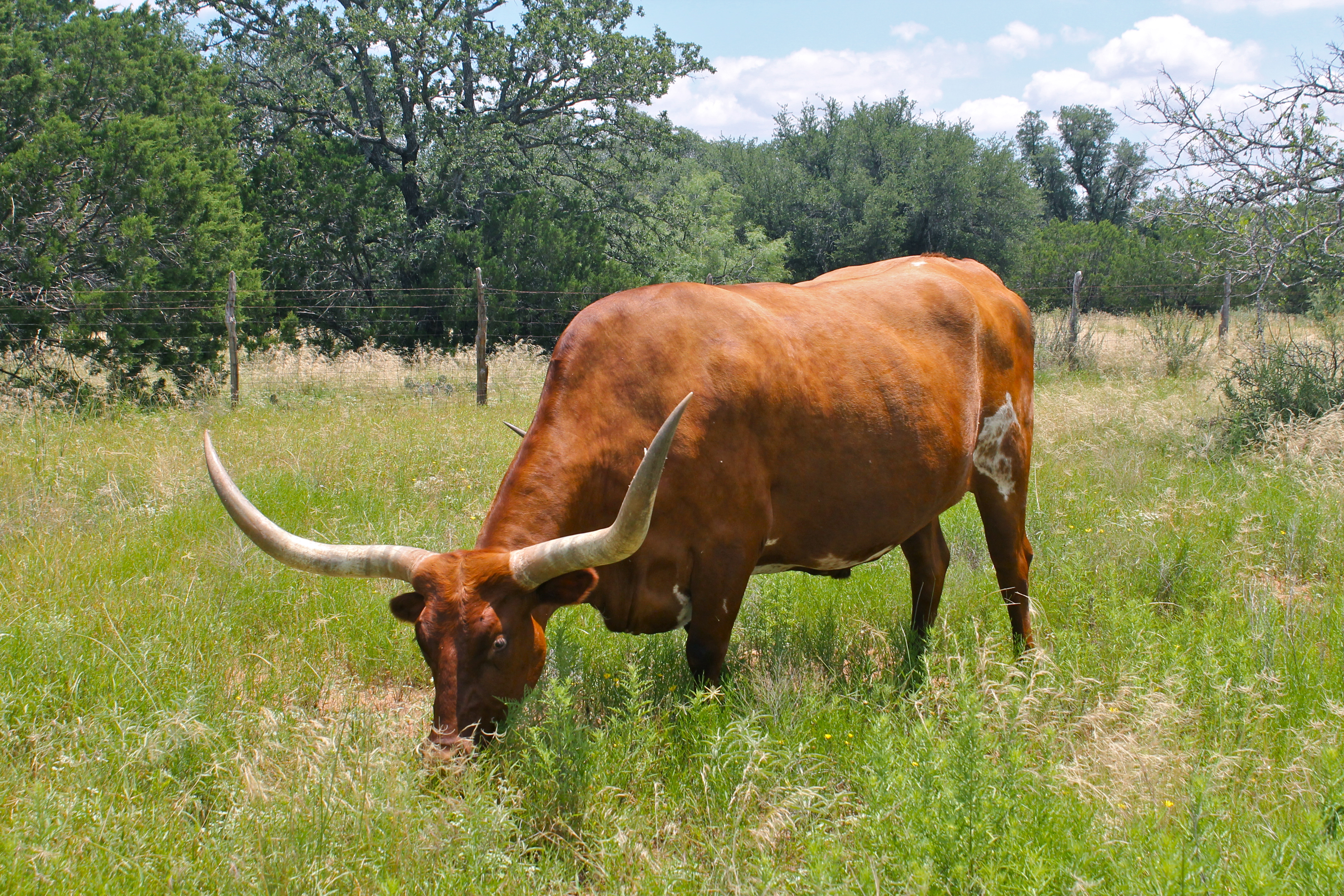
Texas Longhorn Cow
Topographic Map of US-, Bronte, TX, USA
Find elevation by address:

Places near US-, Bronte, TX, USA:
Blackwell
Bronte
Wingate
FM, Wingate, TX, USA
Robert Lee
Sanco
County Road
310 County Rd 231
Nolan
Maryneal
Coke County
FM, Winters, TX, USA
Runnels County
Winters
Edith
Texas
Miles
Parsons Heating And Air, Inc.
Ballinger
8269 Runion Rd
Recent Searches:
- Elevation of Côte-des-Neiges, Montreal, QC H4A 3J6, Canada
- Elevation of Bobcat Dr, Helena, MT, USA
- Elevation of Zu den Ihlowbergen, Althüttendorf, Germany
- Elevation of Badaber, Peshawar, Khyber Pakhtunkhwa, Pakistan
- Elevation of SE Heron Loop, Lincoln City, OR, USA
- Elevation of Slanický ostrov, 01 Námestovo, Slovakia
- Elevation of Spaceport America, Co Rd A, Truth or Consequences, NM, USA
- Elevation of Warwick, RI, USA
- Elevation of Fern Rd, Whitmore, CA, USA
- Elevation of 62 Abbey St, Marshfield, MA, USA