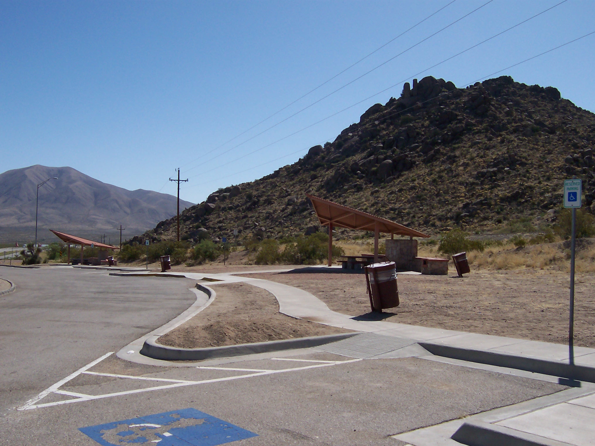
Elevation of US Border Patrol Checkpoint, I-10, Sierra Blanca, TX, USA
Location: United States > Texas > Hudspeth County > Sierra Blanca >
Longitude: -105.43001
Latitude: 31.1912975
Elevation: -10000m / -32808feet
Barometric Pressure: 295KPa
Elevation Map:
Satellite Map:
Related Photos:

Cactus Shack

Truck Stop

If You Can't Stand the Heat...

The Chuck Wagon

TRER Mine, Sierra Blanca

day16 630

Ca. 1960 rest stop along IH-10 frontage road (old Bankhead Highway) near Sierra Blanca.

Look a hill in Texas! It's gonna rock! #azsxsw @ooonanana @mranathema

West Texas Morning (116/365)

IMG_9446.jpg

West Of Sierra Blanca Texas

Rest Area - 008.10

Rest Area - 009

Interstate 10 Texas
Rest Area - 013
Topographic Map of US Border Patrol Checkpoint, I-10, Sierra Blanca, TX, USA
Find elevation by address:

Places near US Border Patrol Checkpoint, I-10, Sierra Blanca, TX, USA:
Sierra Blanca
Unnamed Road
Eagle Flat
Allamoore
1605 W Broadway St
Southern Star Rv Park
300 Park Dr
Van Horn
Salt Flat
Dell City
El Capitan
Guadalupe Peak
Shumard Peak
Bartlett Peak
Bush Mountain
Guadalupe Mountains National Park
Pine Springs
Pine Springs
Lost Peak
Culberson County
Recent Searches:
- Elevation of Pu Ngaol Community Meeting Hall, HWHM+3X7, Krong Saen Monourom, Cambodia
- Elevation of Royal Ontario Museum, Queens Park, Toronto, ON M5S 2C6, Canada
- Elevation of Groblershoop, South Africa
- Elevation of Power Generation Enterprises | Industrial Diesel Generators, Oak Ave, Canyon Country, CA, USA
- Elevation of Chesaw Rd, Oroville, WA, USA
- Elevation of N, Mt Pleasant, UT, USA
- Elevation of 6 Rue Jules Ferry, Beausoleil, France
- Elevation of Sattva Horizon, 4JC6+G9P, Vinayak Nagar, Kattigenahalli, Bengaluru, Karnataka, India
- Elevation of Great Brook Sports, Gold Star Hwy, Groton, CT, USA
- Elevation of 10 Mountain Laurels Dr, Nashua, NH, USA