Elevation of US-, Alturas, CA, USA
Location: United States > California > Modoc County > Alturas >
Longitude: -120.42548
Latitude: 41.575727
Elevation: 1407m / 4616feet
Barometric Pressure: 86KPa
Elevation Map:
Satellite Map:
Related Photos:

Our View

Our View
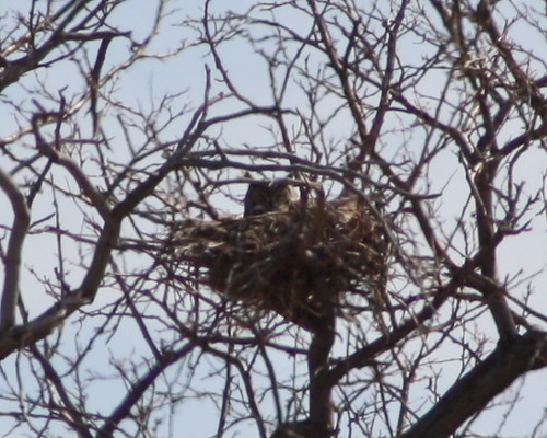
Great Horned Owl

804_1102.NEF
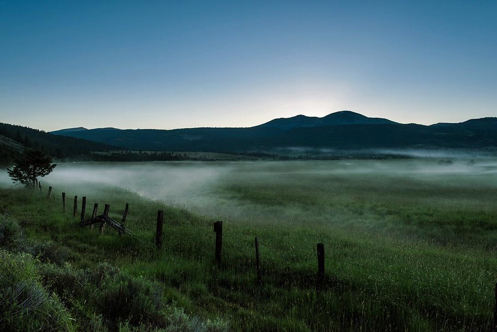
Misty morning in Modoc, CA.

MNRR going away Pit River Canyon

_8060206.NEF

_8060210.NEF
Alturas, California
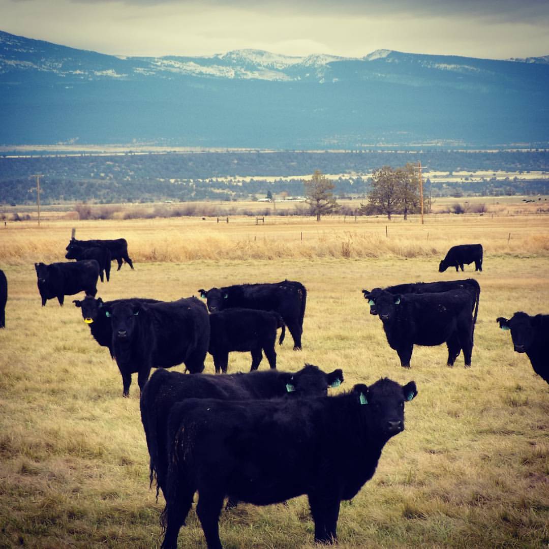
#Maintains and #Cows #hasselblad

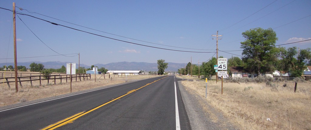
CA 299 in Alturas
Topographic Map of US-, Alturas, CA, USA
Find elevation by address:

Places near US-, Alturas, CA, USA:
434 Buffalo Dr
299 Pintail Dr
Lucilane Blvd, Alturas, CA, USA
421 E Modoc St
Alturas
Cedar Mountain
Payne Peak
Alturas, CA, USA
Bald Mountain
Davis Creek
Buck Mountain
Modoc County
Cedarville
Mcarthur
Warren Peak
Cedarville, CA, USA
Jess Valley Rd, Likely, CA, USA
1600 A
Likely
Likely Place
Recent Searches:
- Elevation of Jalan Senandin, Lutong, Miri, Sarawak, Malaysia
- Elevation of Bilohirs'k
- Elevation of 30 Oak Lawn Dr, Barkhamsted, CT, USA
- Elevation of Luther Road, Luther Rd, Auburn, CA, USA
- Elevation of Unnamed Road, Respublika Severnaya Osetiya — Alaniya, Russia
- Elevation of Verkhny Fiagdon, North Ossetia–Alania Republic, Russia
- Elevation of F. Viola Hiway, San Rafael, Bulacan, Philippines
- Elevation of Herbage Dr, Gulfport, MS, USA
- Elevation of Lilac Cir, Haldimand, ON N3W 2G9, Canada
- Elevation of Harrod Branch Road, Harrod Branch Rd, Kentucky, USA