Elevation of US-83, Zapata, TX, USA
Location: United States > Texas > Zapata County > Zapata >
Longitude: -99.125200
Latitude: 26.7850295
Elevation: 125m / 410feet
Barometric Pressure: 100KPa
Elevation Map:
Satellite Map:
Related Photos:

Wild Muscovy Duck

Bob's Nob palm - 7 cm x 4 cm
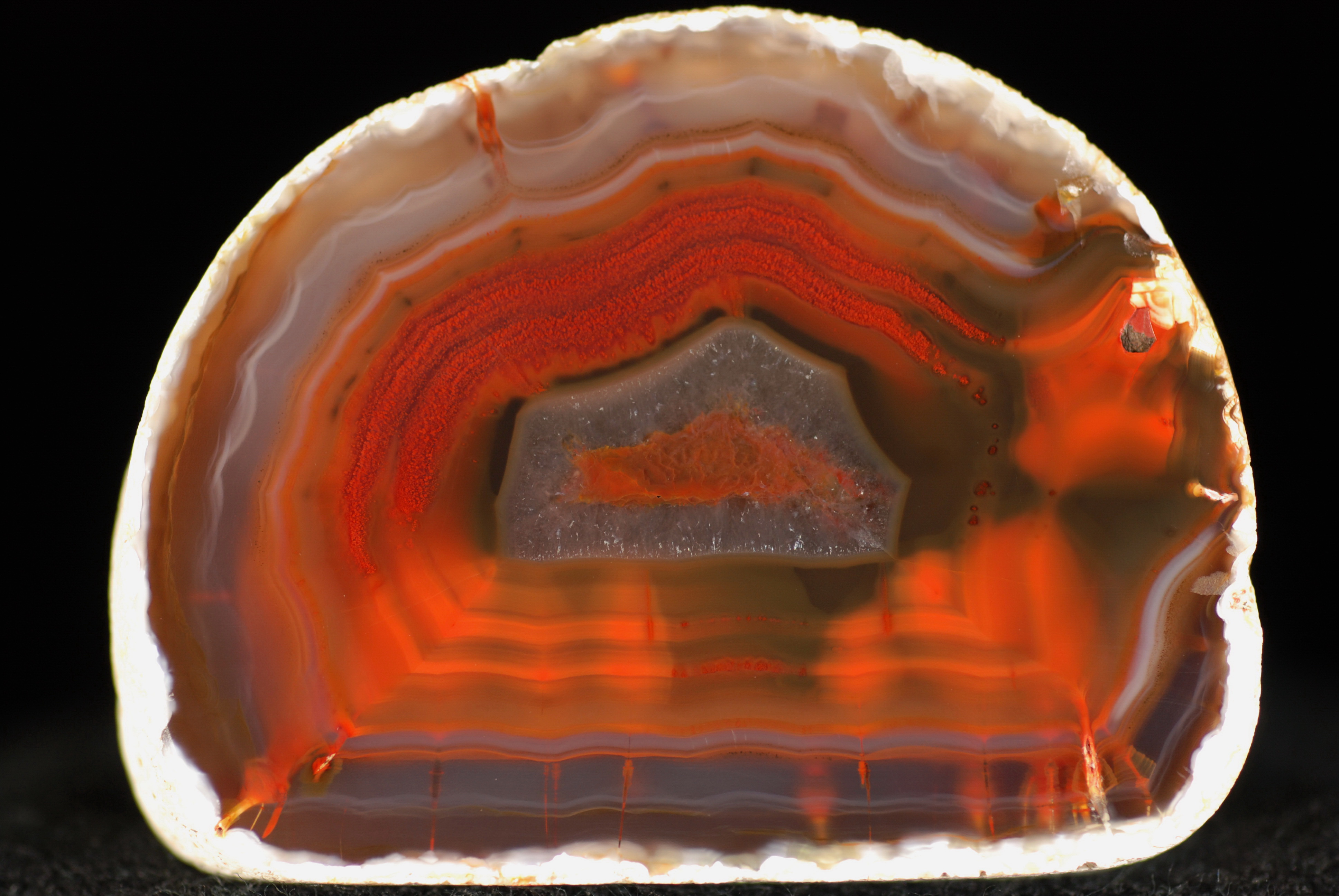
Falcon lake special (thanks for the guesses!)

more dendrites - 5 cm x 4.3 cm
Topographic Map of US-83, Zapata, TX, USA
Find elevation by address:

Places near US-83, Zapata, TX, USA:
US-83, Zapata, TX, USA
Lozano Rd, Zapata, TX, USA
Falcon Mesa
Sunshine Lane
Zapata County
Zapata
300 Lakeview Dr
147 Palm Pl
280 San Roman Rd
280 San Roman Rd
Guerra
297 Jennings Ranch Rd
297 Jennings Ranch Rd
297 Jennings Ranch Rd
Escobas
San Ygnacio
Jim Hogg County
FM, San Isidro, TX, USA
Santa Elena
Mirando City
Recent Searches:
- Elevation of Kootenai Trail Rd, Bonners Ferry, ID, USA
- Elevation of Hickory Blvd, Bonita Springs, FL, USA
- Elevation of Lalagbene, Bayelsa, Nigeria
- Elevation of Ogbosuware Health Centre, 2WWJ+4PJ, Lalagbene, Bayelsa, Nigeria
- Elevation of Duckhorn Ct, Las Vegas, NV, USA
- Elevation of Garretts Run Rd, Ford City, PA, USA
- Elevation of N WI-55, Freedom, WI, USA
- Elevation map of Hadiya, Ethiopia
- Elevation of Hosaina, Ethiopia
- Elevation of Verde Terrace, North Port, FL, USA