Elevation of US-80, Junction City, GA, USA
Location: United States > Georgia > Talbot County > Junction City >
Longitude: -84.399396
Latitude: 32.7048371
Elevation: 175m / 574feet
Barometric Pressure: 99KPa
Elevation Map:
Satellite Map:
Related Photos:

Mechanical Sunset

3 Tier Home

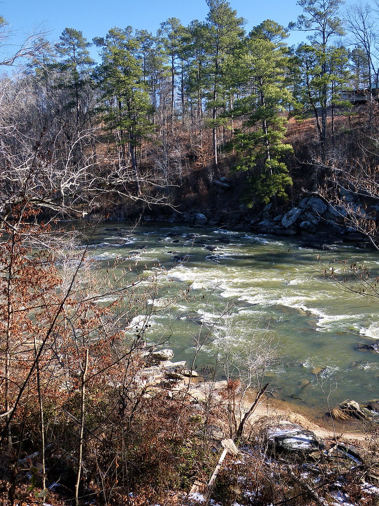
flint river
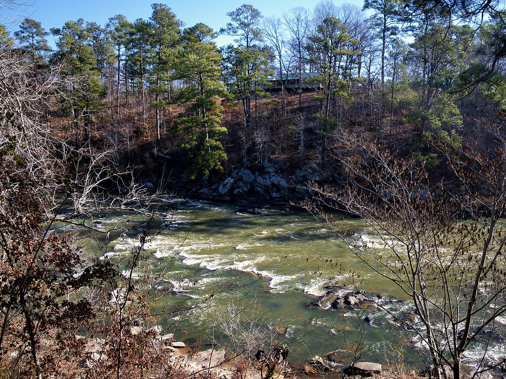
flint river
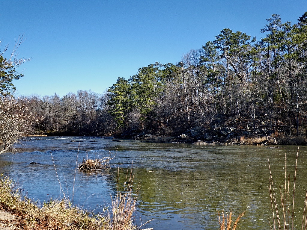
flint river

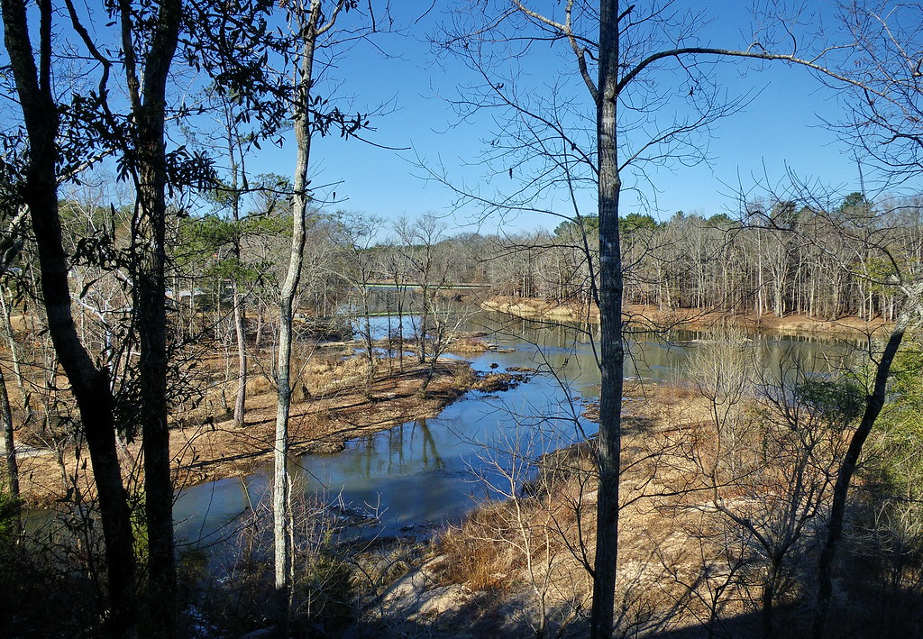
flint river
flint river
flint river

flint river

Camera Roll-42

flint river
N099 Northbound
Topographic Map of US-80, Junction City, GA, USA
Find elevation by address:

Places near US-80, Junction City, GA, USA:
Junction City
Talbot County
Talbotton
GA-41, Woodland, GA, USA
Zion Church Rd, Mauk, GA, USA
GA-36, Woodland, GA, USA
75 Double Bridge Rd
Woodland
Geneva
71 GA-96, Box Springs, GA, USA
Mauk
Thurston School Rd, Thomaston, GA, USA
515 Thurston School Rd
31 Ellerslie Hwy, Talbotton, GA, USA
GA-41, Shiloh, GA, USA
Crest Highway
Crest Hwy, Thomaston, GA, USA
2384 N Pickard Rd
5411 Crest Hwy
851 Pleasant Valley Rd
Recent Searches:
- Elevation of Unnamed Road, Respublika Severnaya Osetiya — Alaniya, Russia
- Elevation of Verkhny Fiagdon, North Ossetia–Alania Republic, Russia
- Elevation of F. Viola Hiway, San Rafael, Bulacan, Philippines
- Elevation of Herbage Dr, Gulfport, MS, USA
- Elevation of Lilac Cir, Haldimand, ON N3W 2G9, Canada
- Elevation of Harrod Branch Road, Harrod Branch Rd, Kentucky, USA
- Elevation of Wyndham Grand Barbados Sam Lords Castle All Inclusive Resort, End of Belair Road, Long Bay, Bridgetown Barbados
- Elevation of Iga Trl, Maggie Valley, NC, USA
- Elevation of N Co Rd 31D, Loveland, CO, USA
- Elevation of Lindever Ln, Palmetto, FL, USA