Elevation of US-80, Ellabell, GA, USA
Location: United States > Georgia > Bryan County > Ellabell >
Longitude: -81.438526
Latitude: 32.1976522
Elevation: 23m / 75feet
Barometric Pressure: 101KPa
Elevation Map:
Satellite Map:
Related Photos:

the best Xmas Eve viewing
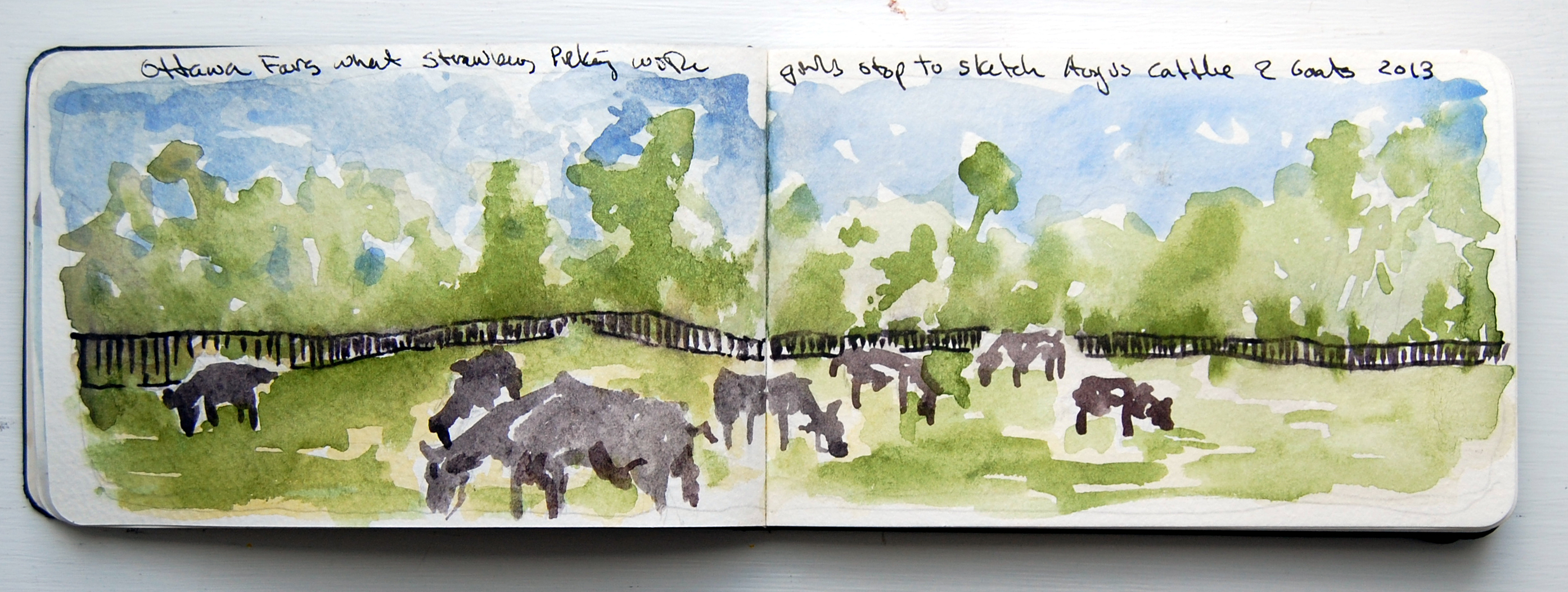
Ottawa Farms Bloomingdale GA

Another look at Black Creek

Ogeechee River swamp

Fluted Trunk and Knobby Knees

Light reached into the swamp.

Flowers in the front yard
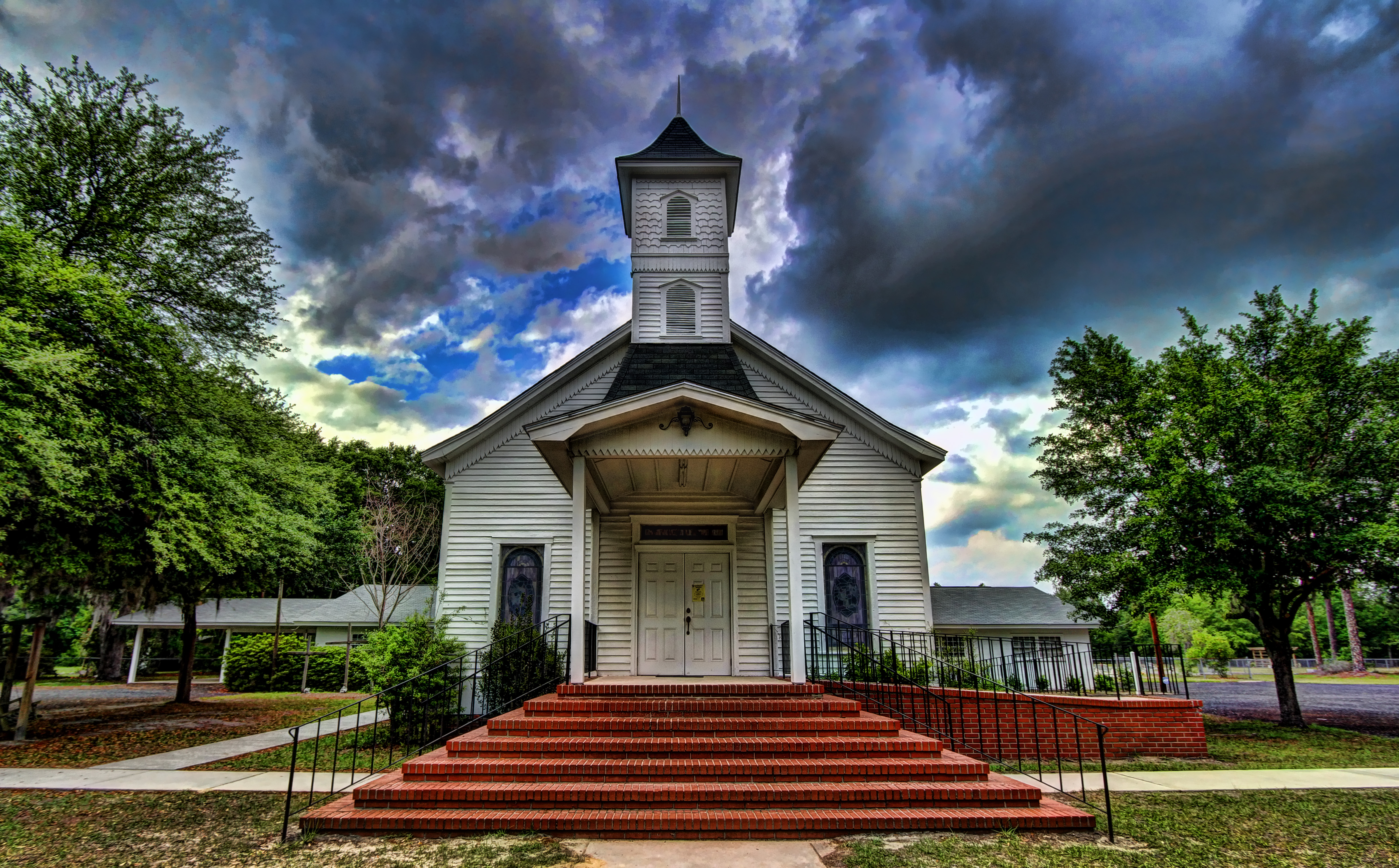
Ellabell Methodist
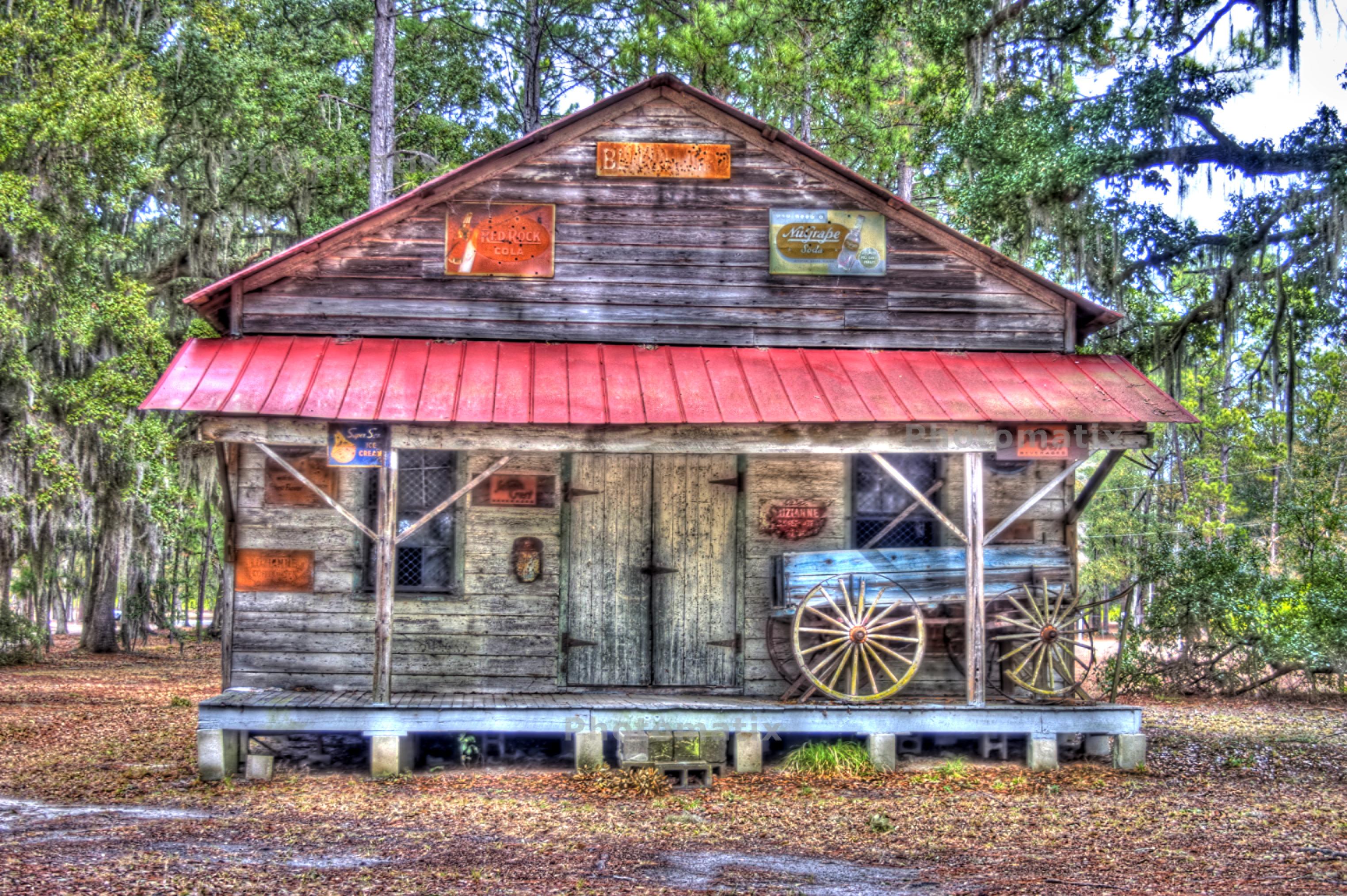
Old Brewton store

Farm House
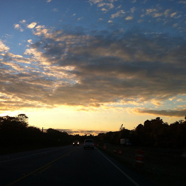
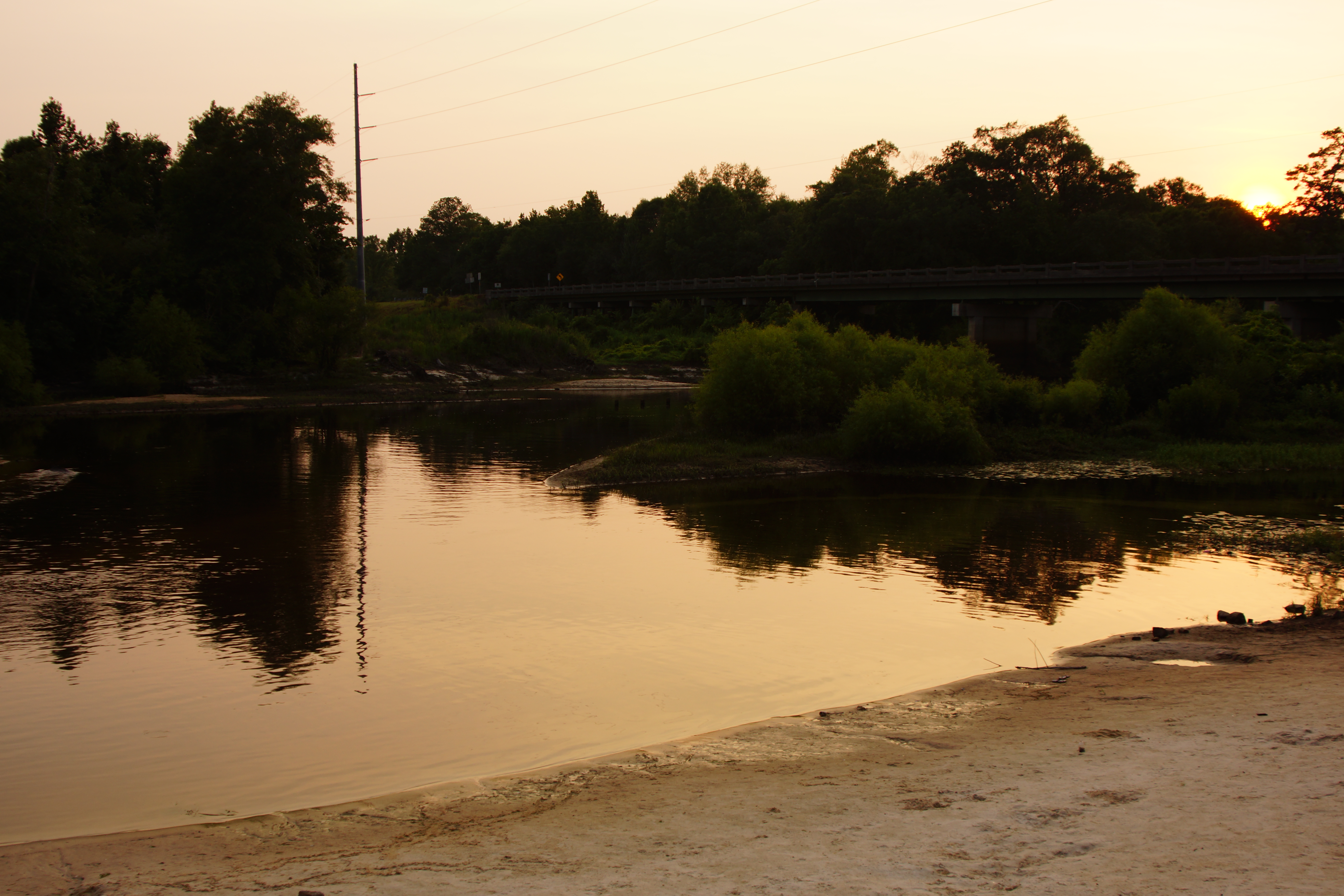
#sunset over the Ogeechee River on GA-80.

Ogeechee with LCU-10

Black Creek Fallen Tree
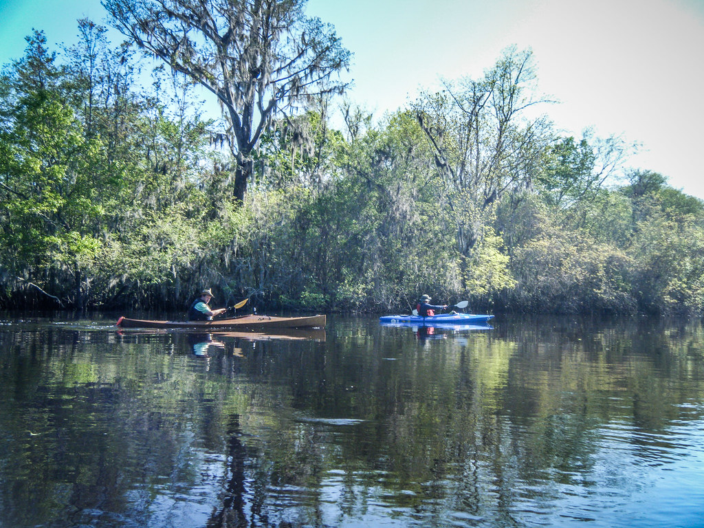
Ogeechee with LCU-6
The Ogeechee River
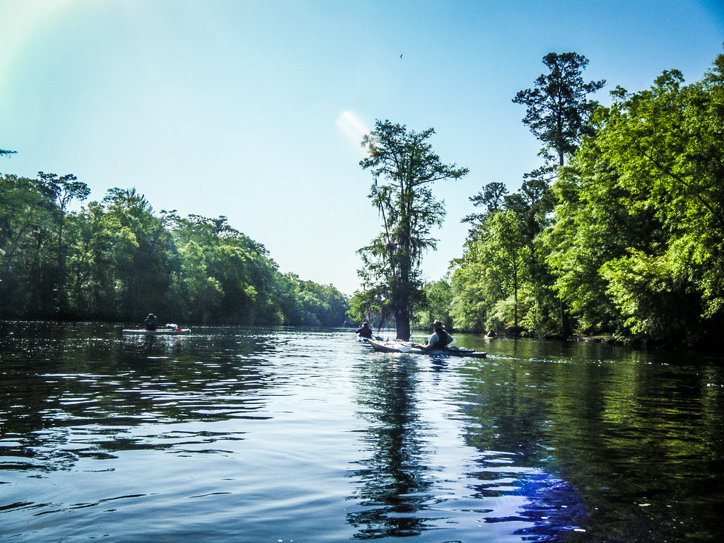
Ogeechee with LCU-2
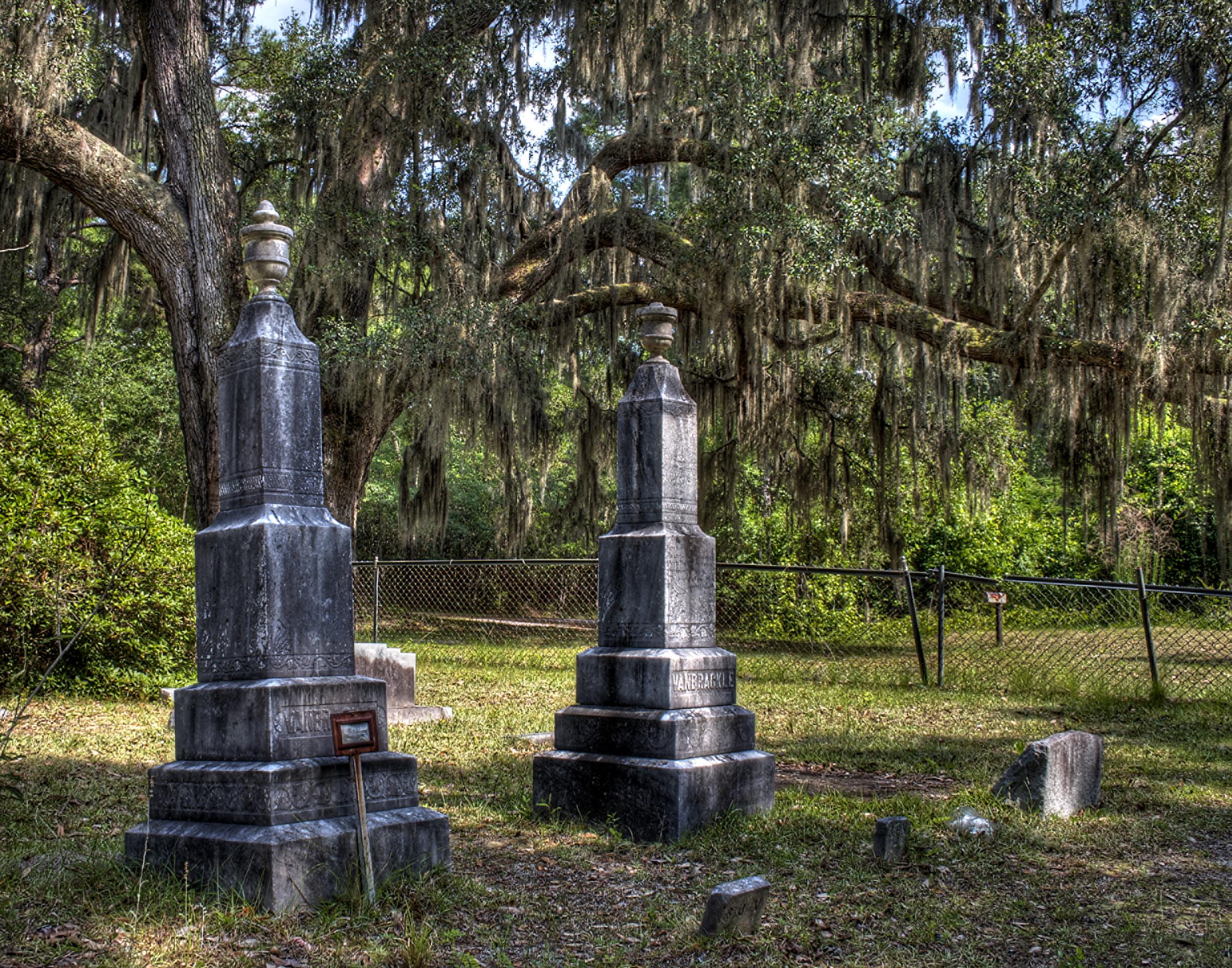
Double monuments
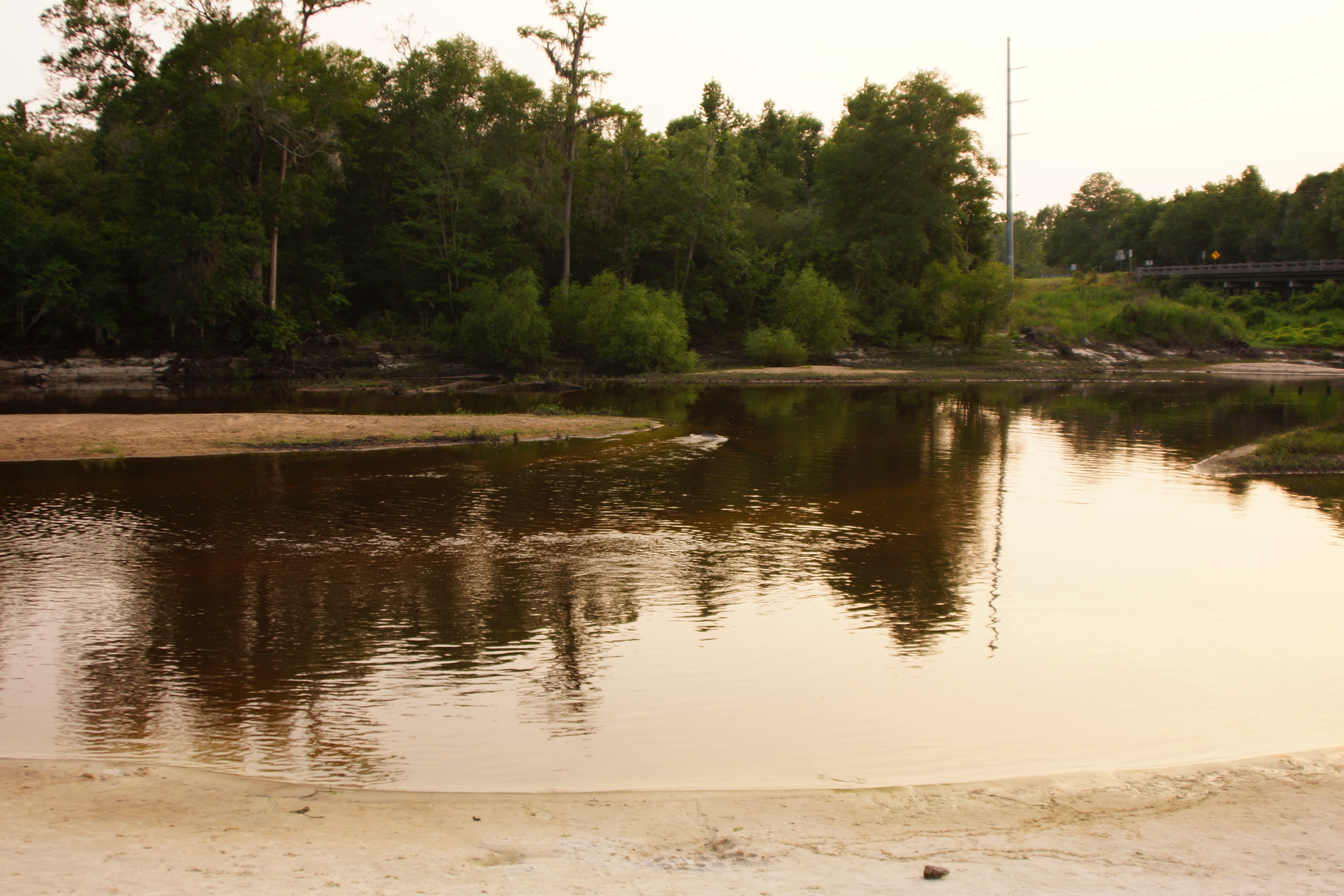
The Ogeechee River

Ogeechee with LCU-3
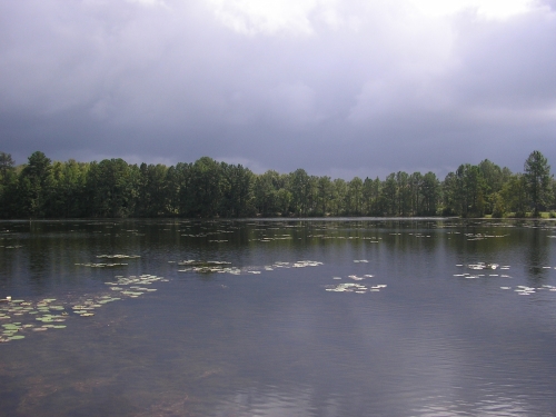
Bright and cloudy over the lake
Topographic Map of US-80, Ellabell, GA, USA
Find elevation by address:

Places near US-80, Ellabell, GA, USA:
345 Old Cuyler Rd
117 Ray Fetzer Dr
94 Ogeechee River Dr
Sand Hill Rd, Guyton, GA, USA
Eden, GA, USA
5809 Flemington Ln
5807 Flemington Ln
5807 Flemington Ln
5807 Flemington Ln
5805 Flemington Ln
5805 Flemington Ln
5805 Flemington Ln
5805 Flemington Ln
373 Creekwood Dr
97 Crestview Dr
Highway 119 North
190 Royal Oak Dr
200 Royal Oak Dr
198 Royal Oak Dr
120 Whirlwind Way
Recent Searches:
- Elevation of Jalan Senandin, Lutong, Miri, Sarawak, Malaysia
- Elevation of Bilohirs'k
- Elevation of 30 Oak Lawn Dr, Barkhamsted, CT, USA
- Elevation of Luther Road, Luther Rd, Auburn, CA, USA
- Elevation of Unnamed Road, Respublika Severnaya Osetiya — Alaniya, Russia
- Elevation of Verkhny Fiagdon, North Ossetia–Alania Republic, Russia
- Elevation of F. Viola Hiway, San Rafael, Bulacan, Philippines
- Elevation of Herbage Dr, Gulfport, MS, USA
- Elevation of Lilac Cir, Haldimand, ON N3W 2G9, Canada
- Elevation of Harrod Branch Road, Harrod Branch Rd, Kentucky, USA