Elevation of US-80, Demopolis, AL, USA
Location: United States > Alabama > Marengo County > Demopolis >
Longitude: -87.933522
Latitude: 32.4564964
Elevation: 36m / 118feet
Barometric Pressure: 101KPa
Elevation Map:
Satellite Map:
Related Photos:

Red Barn Restaurant, Demopolis, Alabama
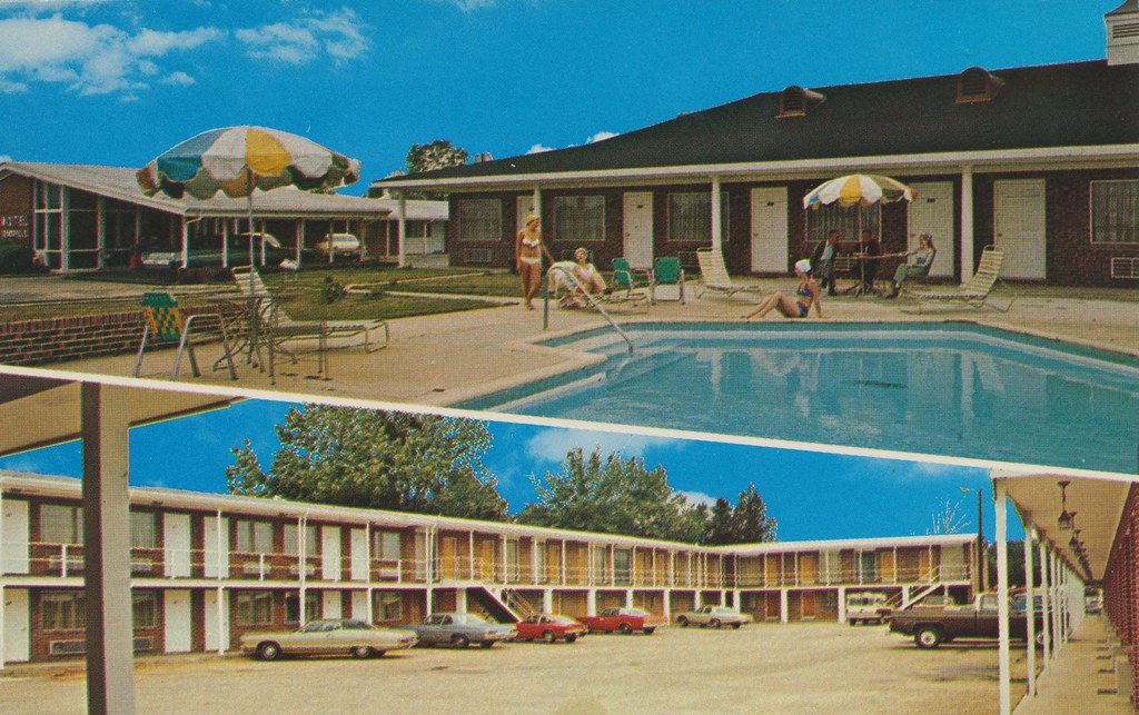
Motel Demopolis - Demopolis, Alabama
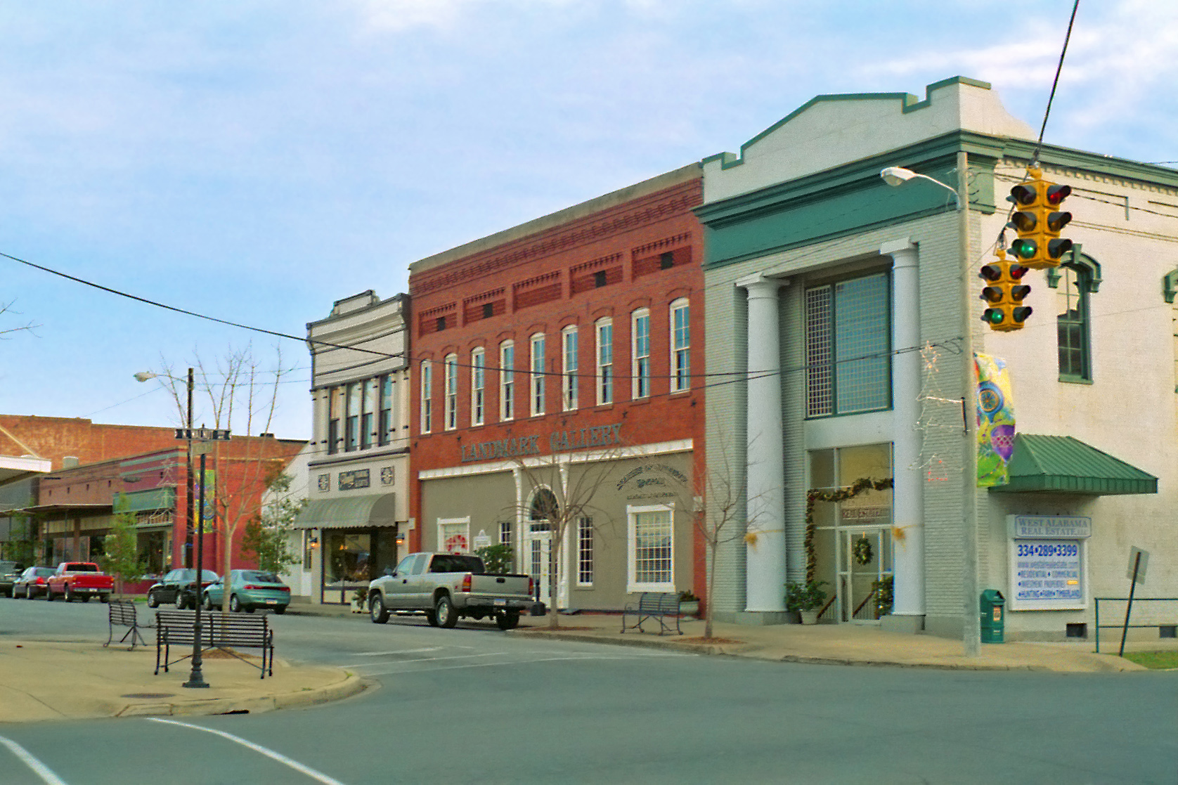
Demopolis Business District, Alabama

Demopolis, AL - Foscue Creek Park

Demopolis, AL - Foscue Creek Park
Day 26: Winter on the River

Demopolis, AL - Foscue Creek Park

Jefferson, AL - Hildreth Compton Simmons House (c. 1848)

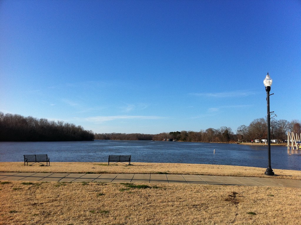
Tombigbee River, Demopolis
Tombigbee River, Demopolis

Tombigbee River, Demopolis

Tombigbee River, Demopolis
DSC_0214.jpg
Topographic Map of US-80, Demopolis, AL, USA
Find elevation by address:

Places near US-80, Demopolis, AL, USA:
Maria Ave, Demopolis, AL, USA
Demopolis
105 Old Locke 3 Rd
E Jefferson St, Demopolis, AL, USA
AL-28, Livingston, AL, USA
Co Hwy 2, Gallion, AL, USA
Co Rd 22, Livingston, AL, USA
Birdeye Park Rd, Forkland, AL, USA
30 Quarter Ln, York, AL, USA
Lilita Rd, Livingston, AL, USA
Emerald Ln, Boligee, AL, USA
1065 River Ranch Rd
Forkland
Bellamy
Co Rd 20, Forkland, AL, USA
Walnut St, Bellamy, AL, USA
56 Jackson Quarter, Forkland, AL, USA
Gallion
Power Plant Road
Co Rd 72, Boligee, AL, USA
Recent Searches:
- Elevation of Hercules Dr, Colorado Springs, CO, USA
- Elevation of Szlak pieszy czarny, Poland
- Elevation of Griffing Blvd, Biscayne Park, FL, USA
- Elevation of Kreuzburger Weg 13, Düsseldorf, Germany
- Elevation of Gateway Blvd SE, Canton, OH, USA
- Elevation of East W.T. Harris Boulevard, E W.T. Harris Blvd, Charlotte, NC, USA
- Elevation of West Sugar Creek, Charlotte, NC, USA
- Elevation of Wayland, NY, USA
- Elevation of Steadfast Ct, Daphne, AL, USA
- Elevation of Lagasgasan, X+CQH, Tiaong, Quezon, Philippines