Elevation of US-78, Pell City, AL, USA
Location: United States > Alabama > St. Clair County > Pell City >
Longitude: -86.398415
Latitude: 33.588661
Elevation: 169m / 554feet
Barometric Pressure: 99KPa
Elevation Map:
Satellite Map:
Related Photos:
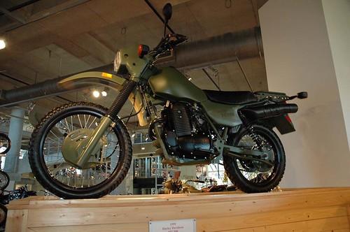
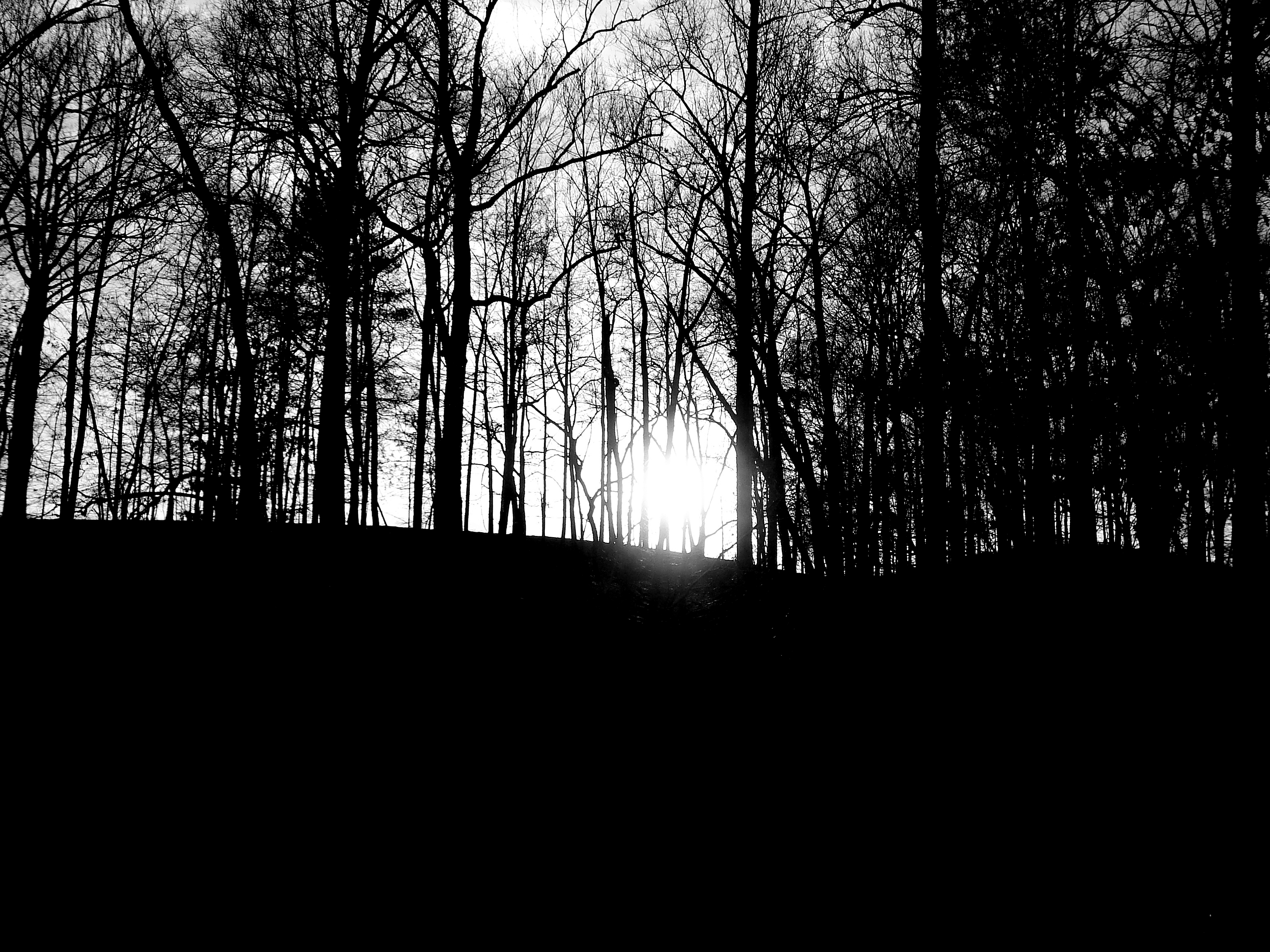
Military Harley Dirt Bike
Cub Haunted
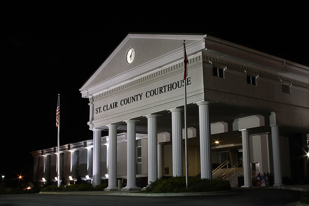
ST CLAIR COURTHOUSE - HDR

"Man Cave" Home Office, c.2016
Bethune Estate / P1983-0605a069-10
Picture 012

Beautiful sunset at work looking out the window! @garagecocustoms @lizard1951 @dixiedanger

Millcreek Motocross

Millcreek Reconstruction
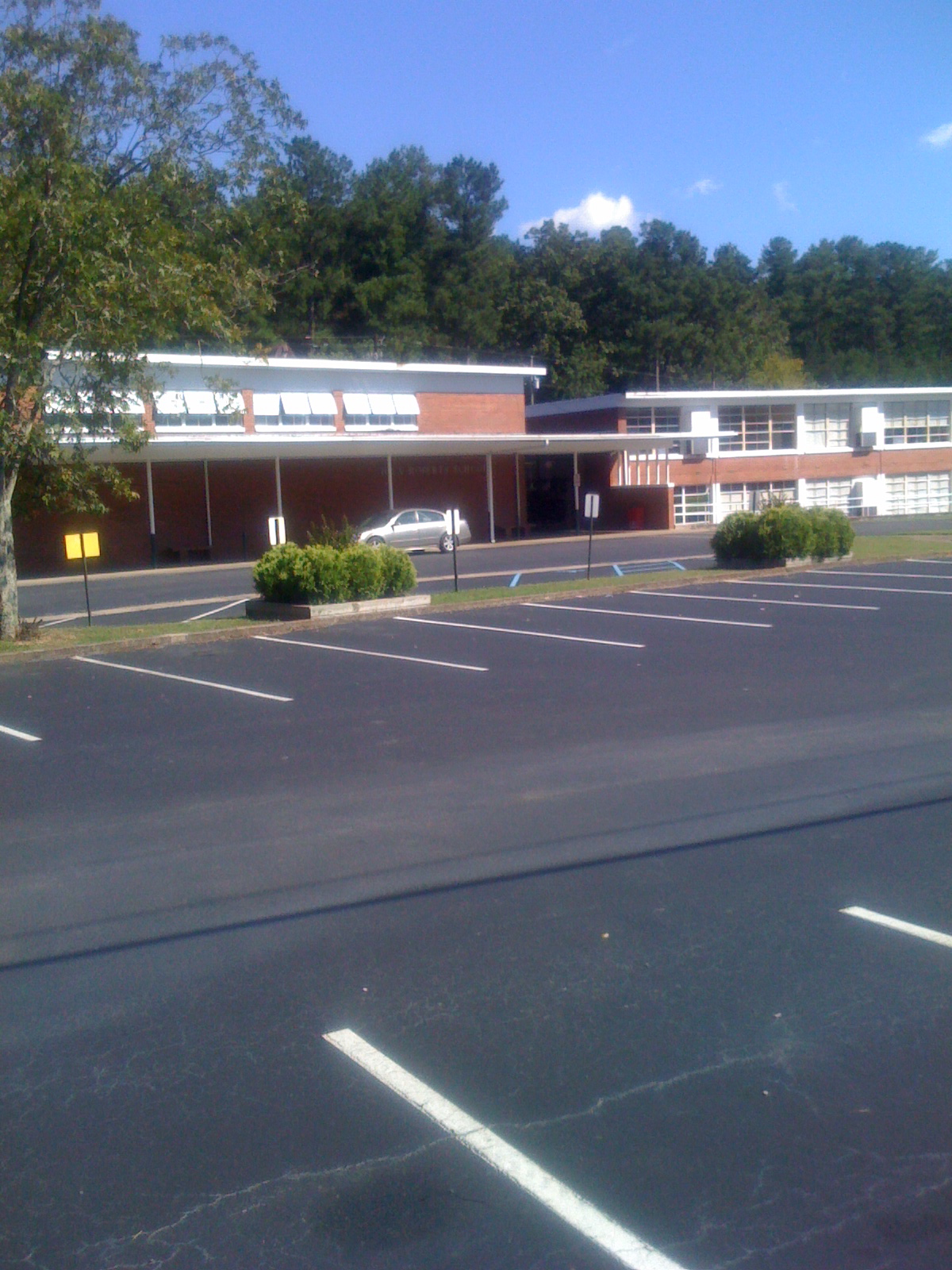
Iola Roberts Elementary School
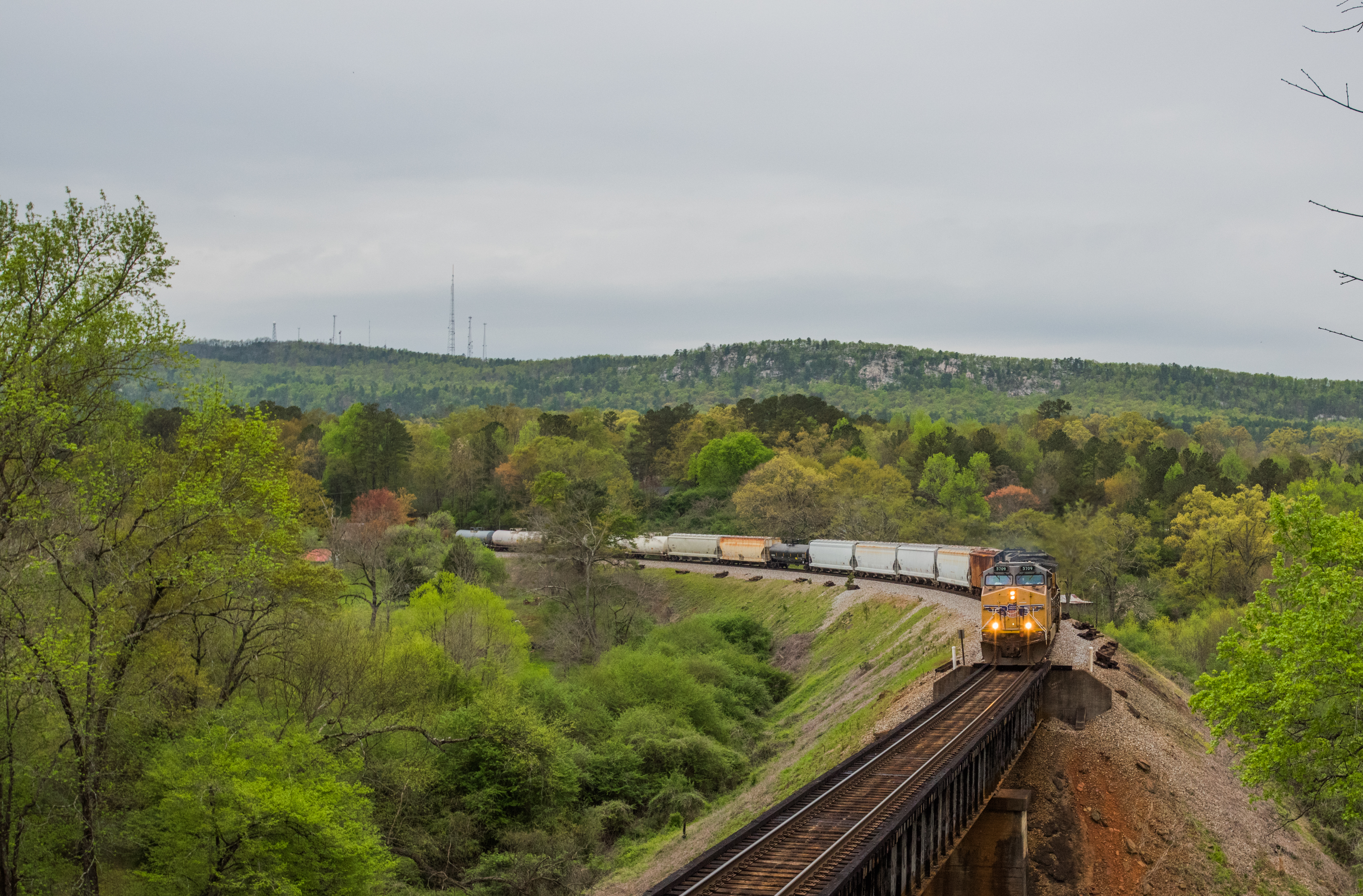
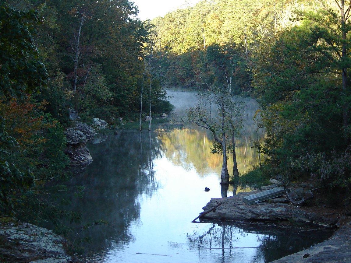
NS 172 Cook Springs Alabama
Topographic Map of US-78, Pell City, AL, USA
Find elevation by address:

Places near US-78, Pell City, AL, USA:
70 Mountain Olive Dr, Pell City, AL, USA
215 Chula Vista Mountain Rd
140 Kelly Creek Dr
Co Hwy 10, Moody, AL, USA
265 Davis Dr
Valley Bend Dr, Moody, AL, USA
121 Katheryn St
11090 Us-411
40 Page Cir, Branchville, AL, USA
Branchville
Moody Pkwy, Branchville, AL, USA
68 Pleasant Dr, Odenville, AL, USA
St Clair Forest Rd, Moody, AL, USA
Mineral Springs Rd, Pell City, AL, USA
St. Clair County
Odenville
1370 Sanie Rd
85 Appalachian Ln, Branchville, AL, USA
1st Ave S, Pell City, AL, USA
St. Clair County Extension Office
Recent Searches:
- Elevation of Zimmer Trail, Pennsylvania, USA
- Elevation of 87 Kilmartin Ave, Bristol, CT, USA
- Elevation of Honghe National Nature Reserve, QP95+PJP, Tongjiang, Heilongjiang, Jiamusi, Heilongjiang, China
- Elevation of Hercules Dr, Colorado Springs, CO, USA
- Elevation of Szlak pieszy czarny, Poland
- Elevation of Griffing Blvd, Biscayne Park, FL, USA
- Elevation of Kreuzburger Weg 13, Düsseldorf, Germany
- Elevation of Gateway Blvd SE, Canton, OH, USA
- Elevation of East W.T. Harris Boulevard, E W.T. Harris Blvd, Charlotte, NC, USA
- Elevation of West Sugar Creek, Charlotte, NC, USA