Elevation of US-71, Mountainburg, AR, USA
Location: United States > Arkansas > Crawford County > Porter Township >
Longitude: -94.138232
Latitude: 35.720011
Elevation: 525m / 1722feet
Barometric Pressure: 95KPa
Elevation Map:
Satellite Map:
Related Photos:
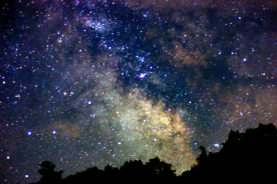
Summer Milky Way Full Frame at 50mm f/1.7
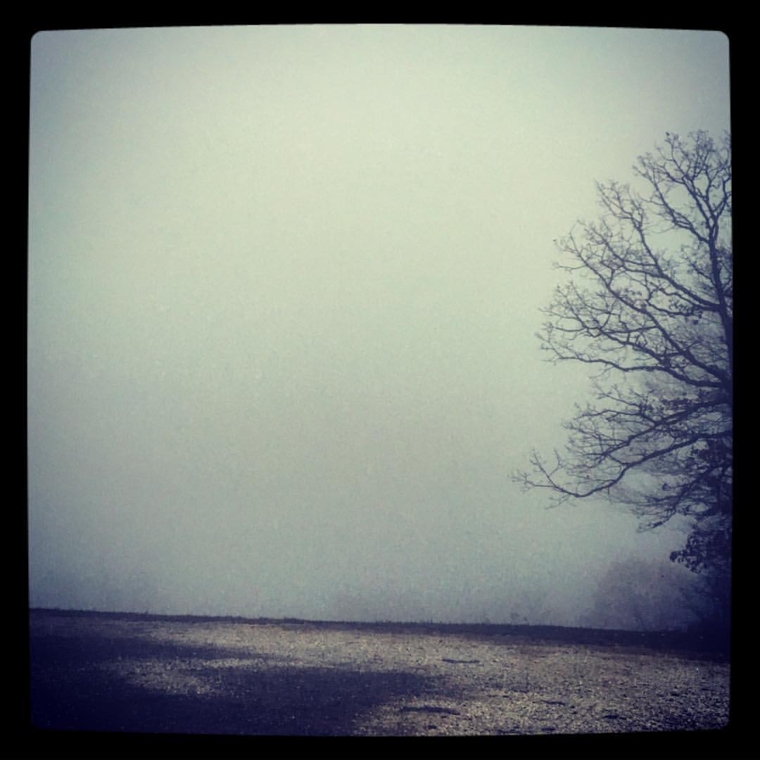
took the scenic route from Fayetteville to Ft. Smith so I could stop and take in my favorite view -- I got this fog and a scary drive instead. ????
Almost home... My jammies are calling. #triptophilly
I could hear the earth's chorus and all I could do was cry for the beauty and the pain.
Death is Like This & I'm Sorry for Them All (9-11 attacks were 11 years ago today).
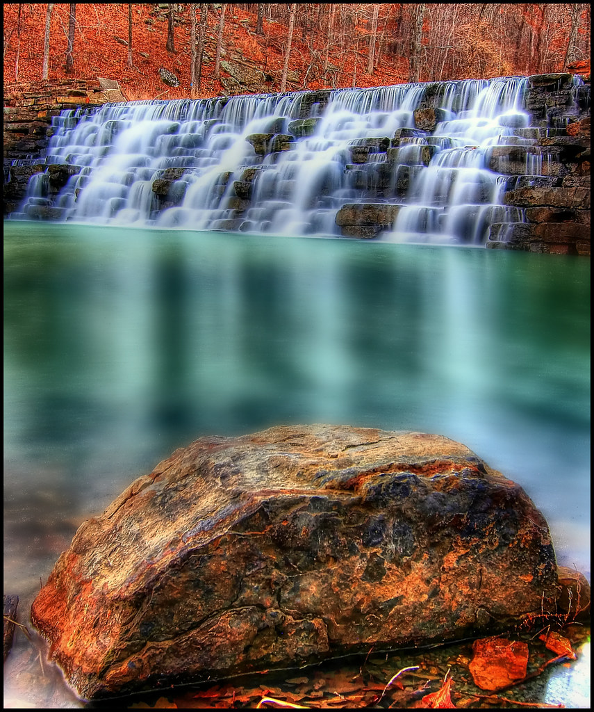
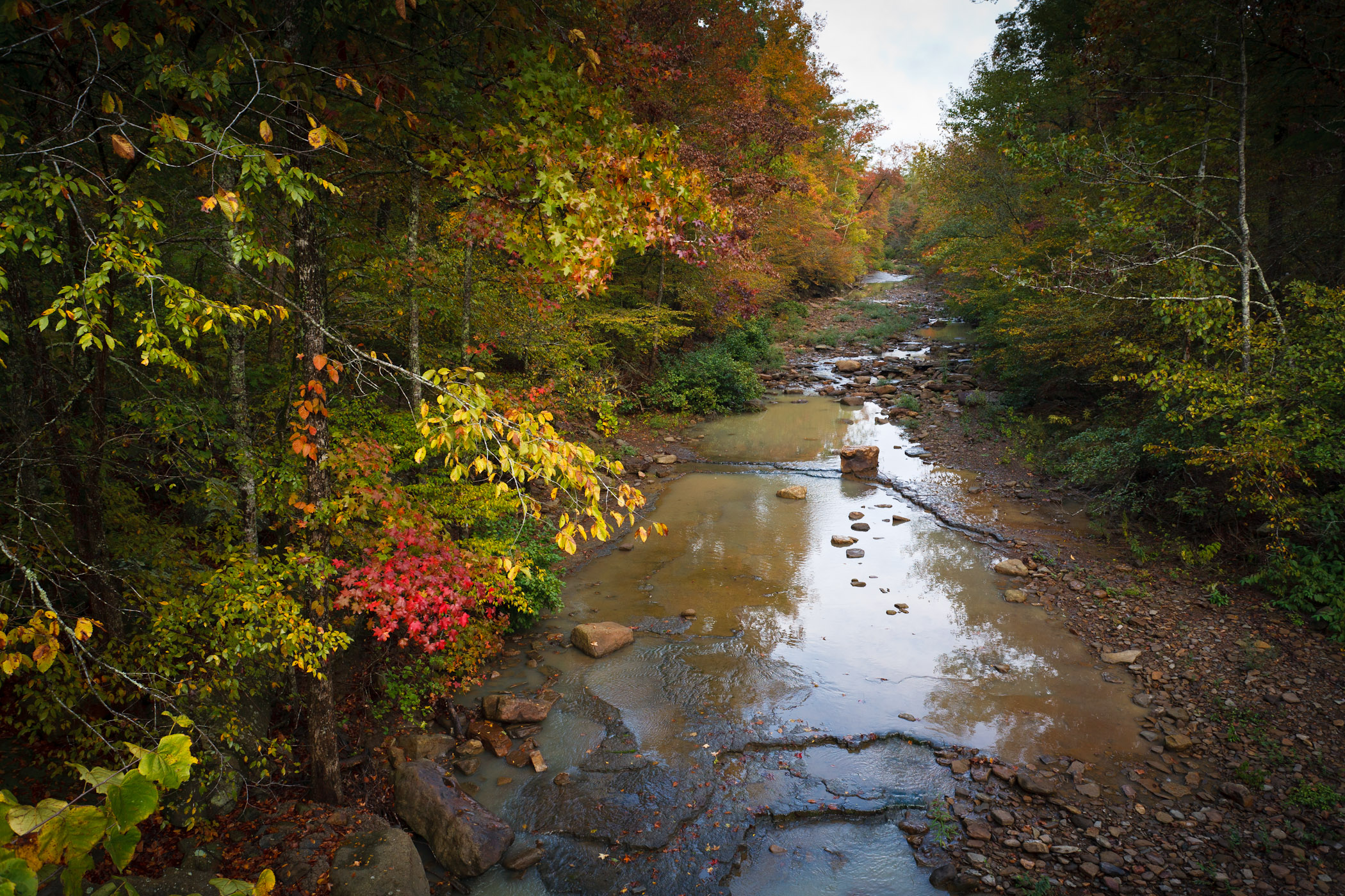
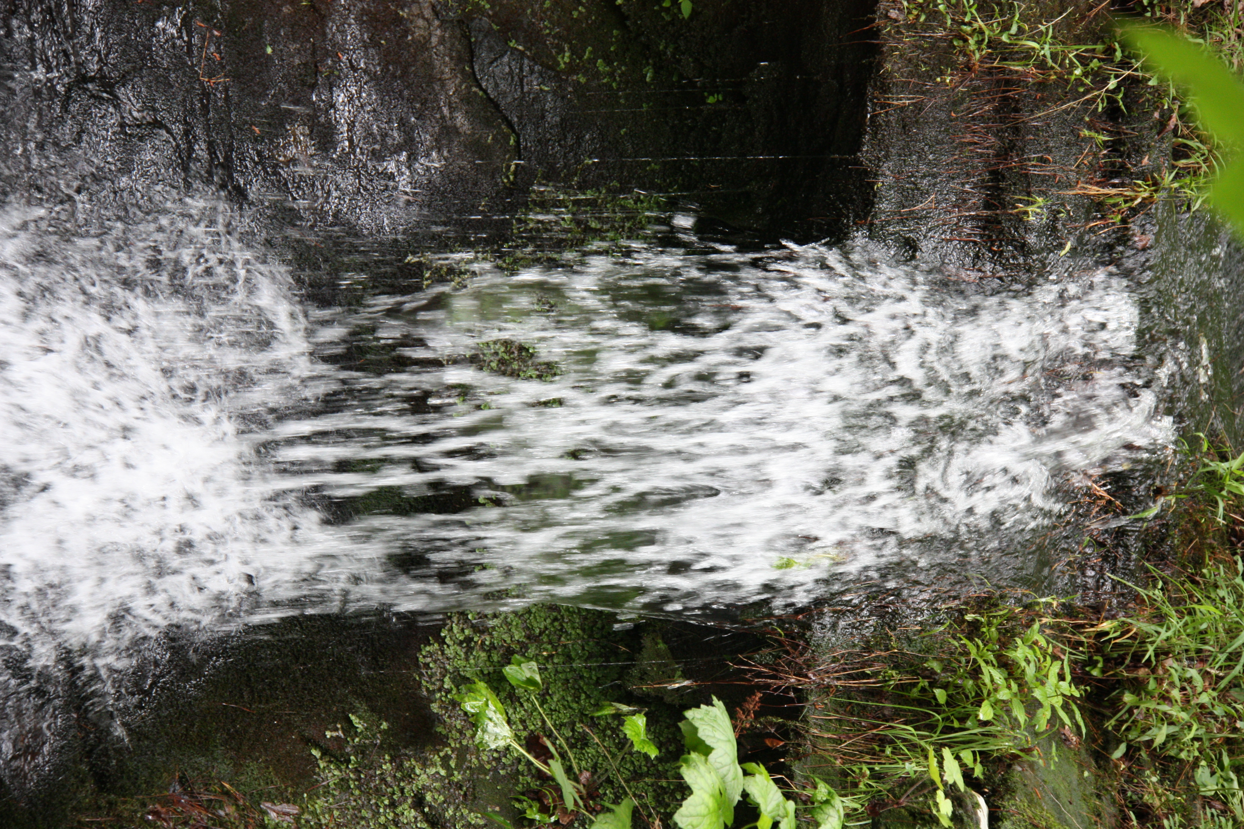
Devil's Den Spillway
IMG_1149.2
"It's gonna get a little smokey..."
Butterfield View
Panorama View of Lee Creek Vally at Yellow Rock Viewpoint
What a View
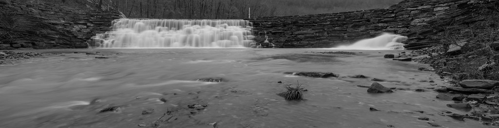
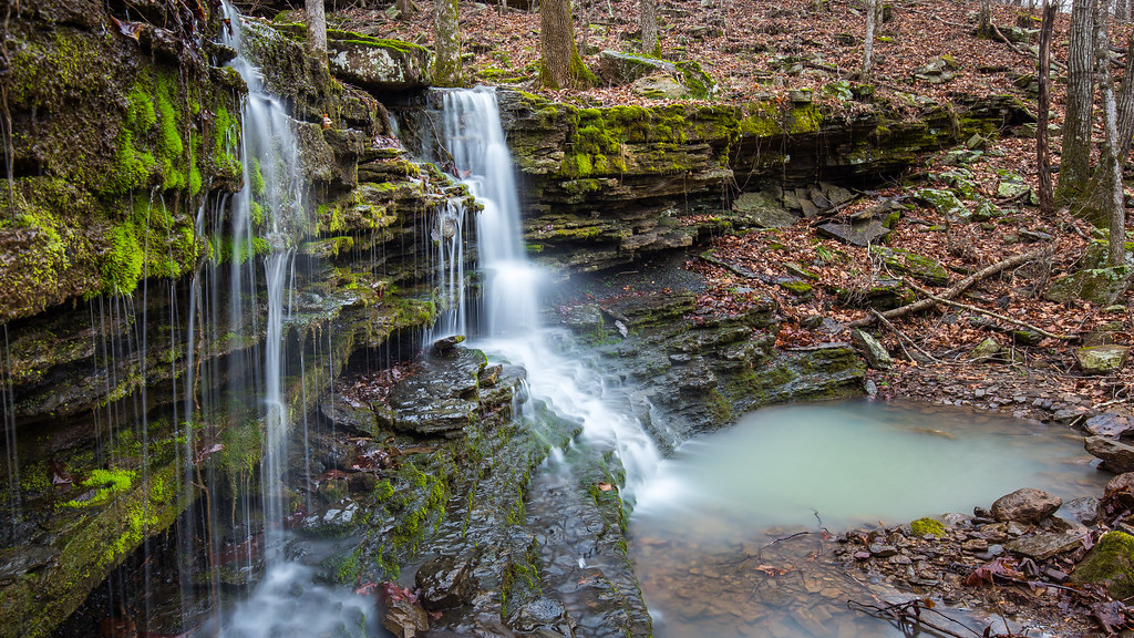
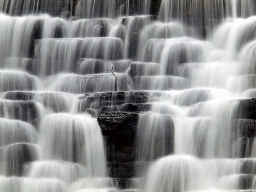
White Rock Creek Cascade (BW)
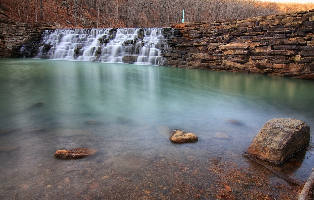
Devil's Den Spillway
Devils Hollow Mulberry, Arkansas
Still standing
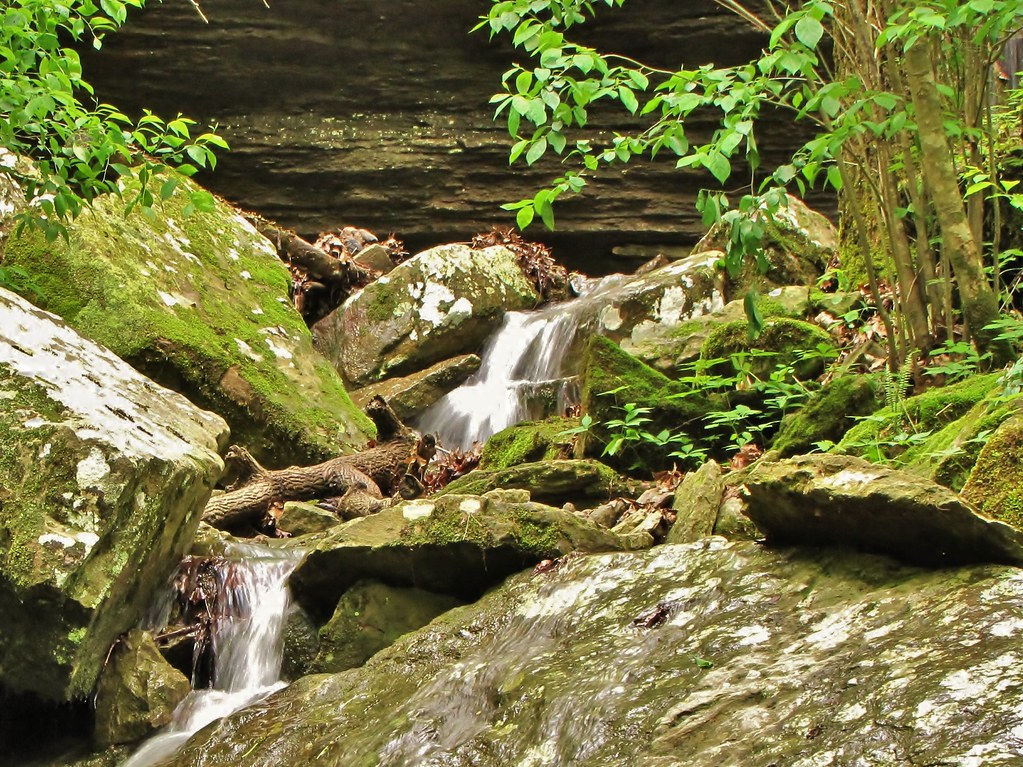
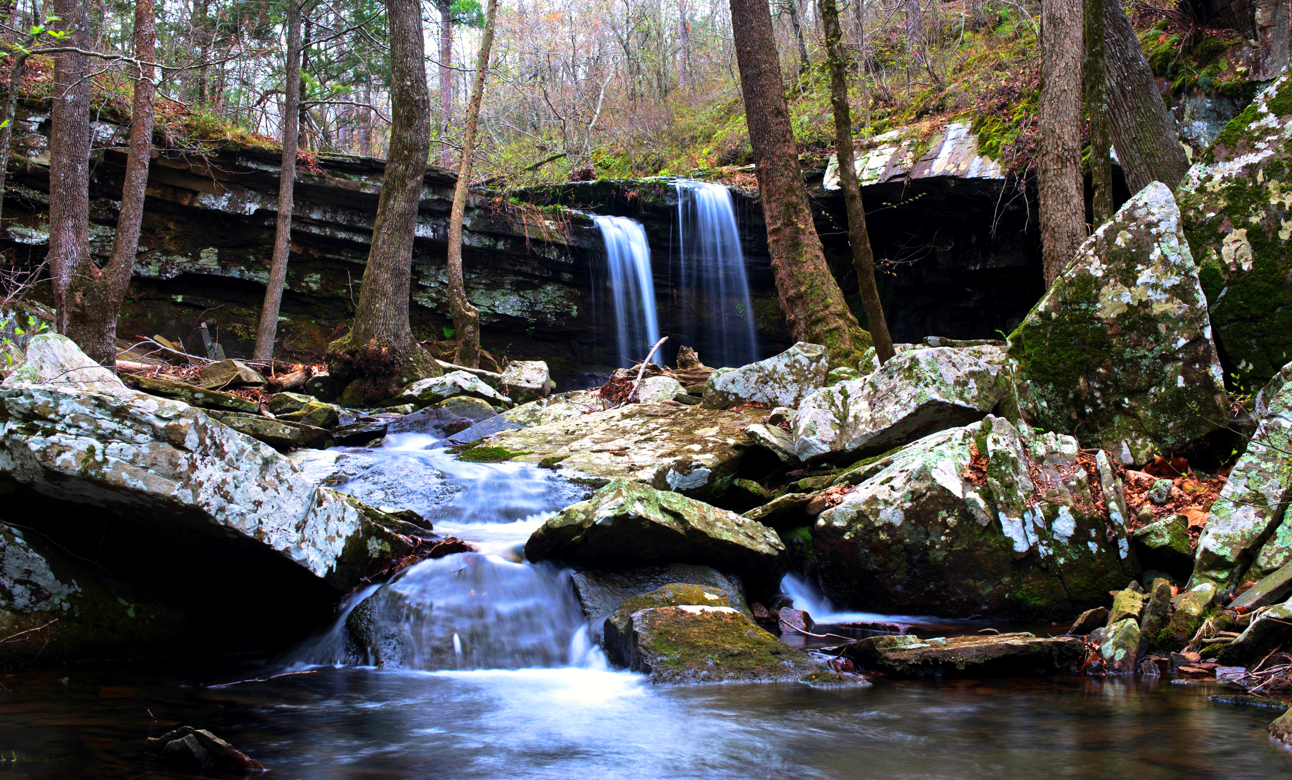
Lower unnamed falls #1 of Winfrey Valley
Two Rocks
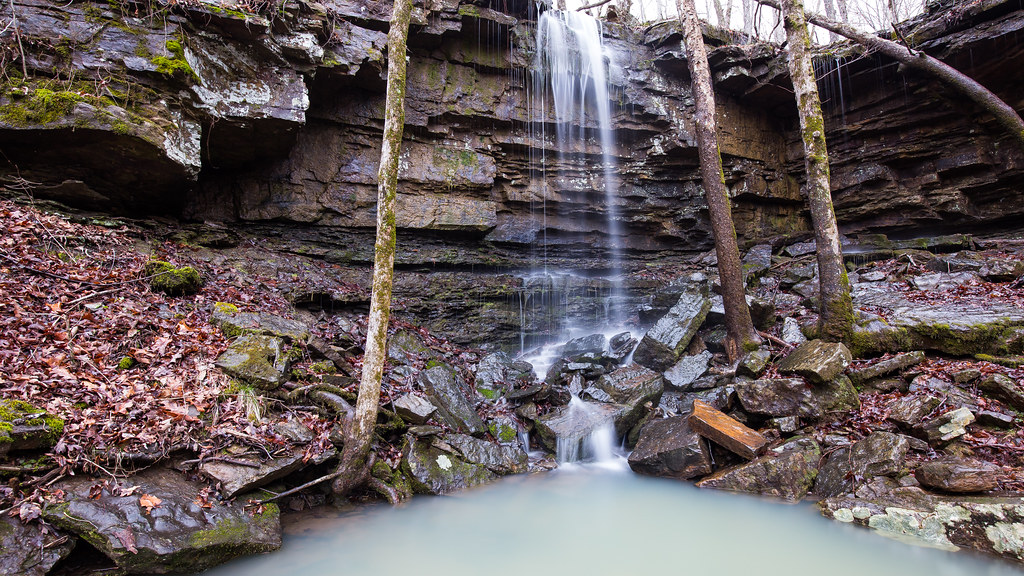
Upper unnamed falls #1 of Winfrey Valley
overprocessed overcooked overeverything
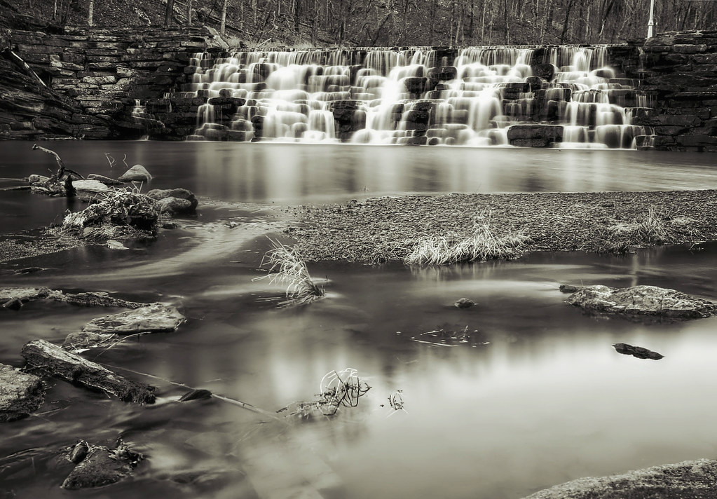
Devil's Den Spillway
Hurricane Creek
Lonely blossom
Foggy Trees
Deep Thought, Artist Point
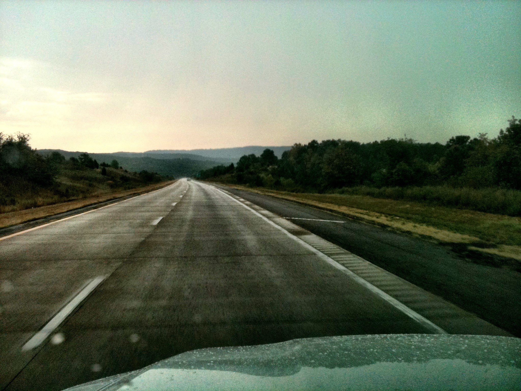
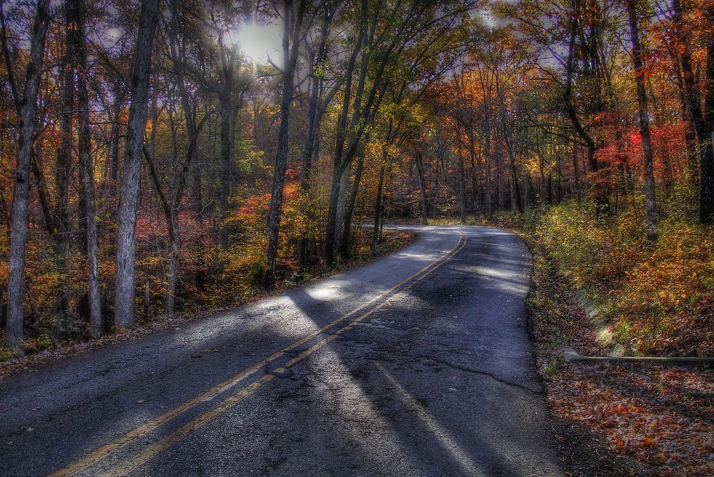
A Rainy Drive Home
White Rock Camping - May 2009
????????????
Devil's (Den) Advocate
morning sun
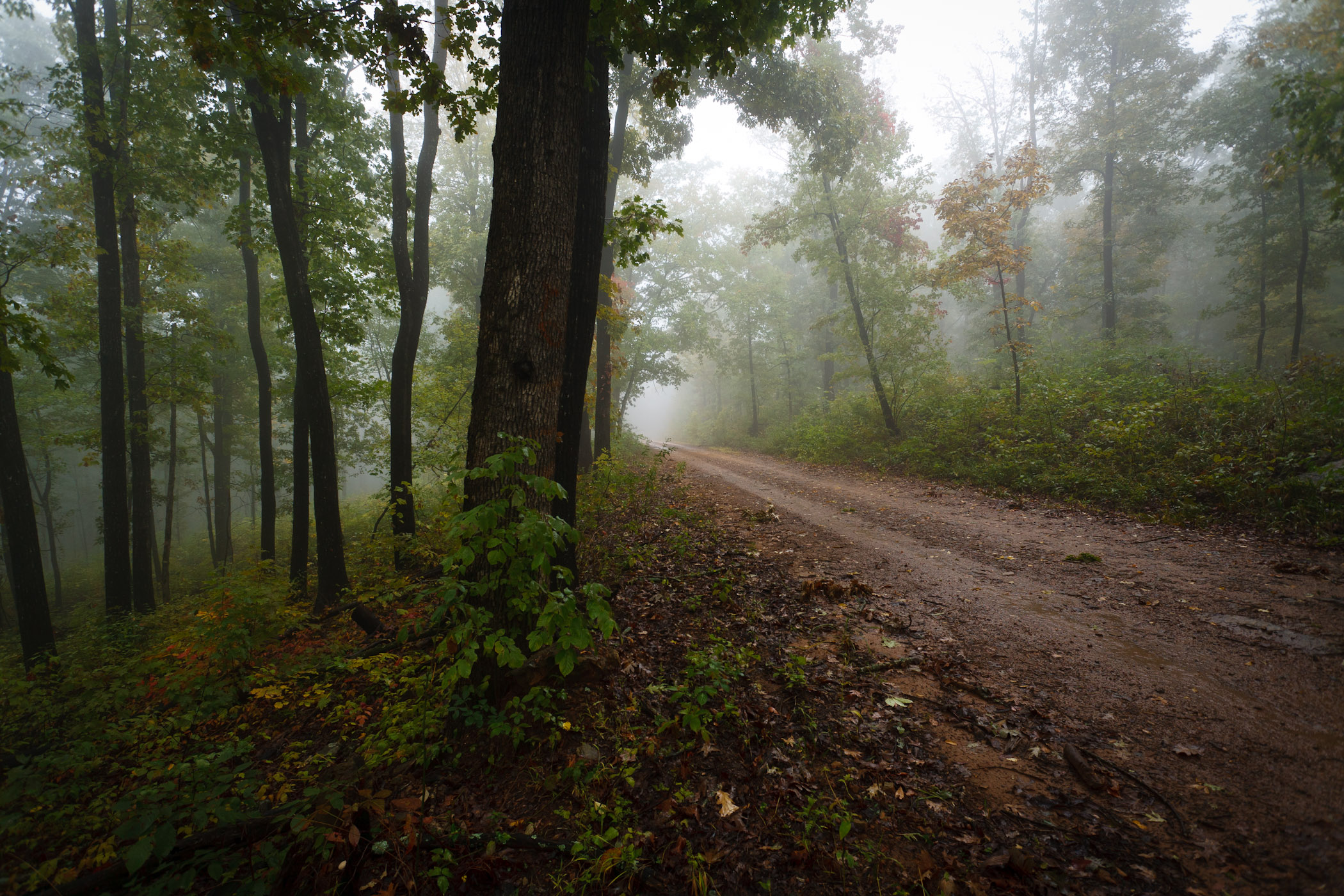
Foggy Road
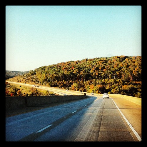
OZARK MOUNTAINS
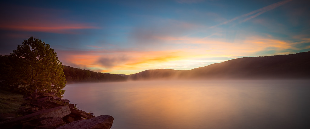
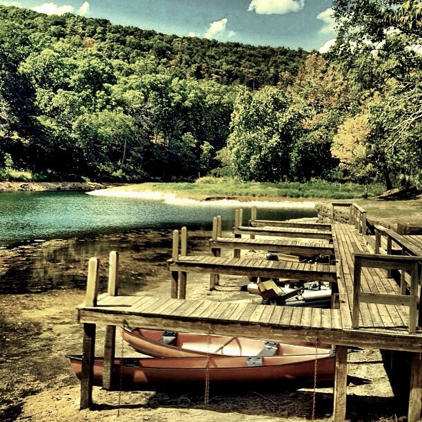
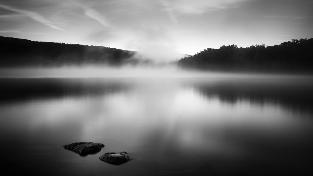
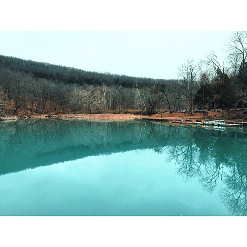
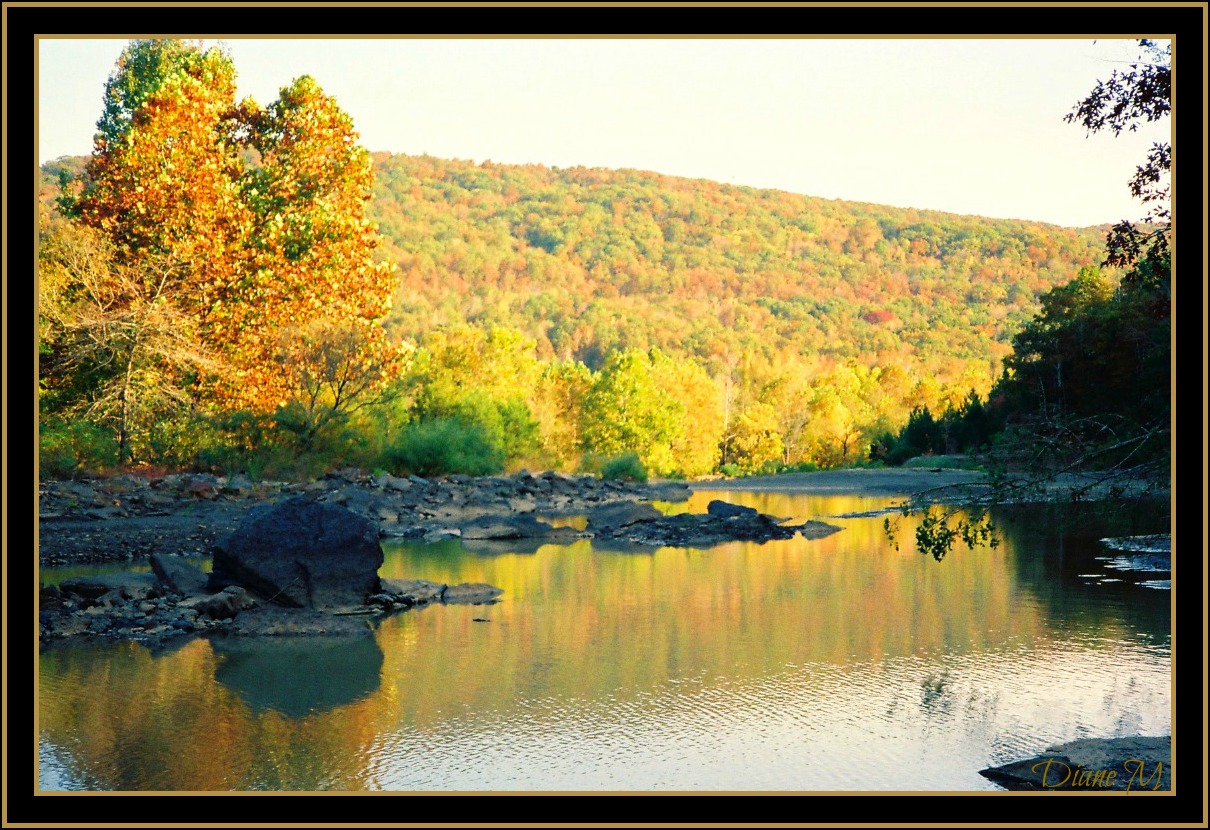
Lake Ft. Smith
Topographic Map of US-71, Mountainburg, AR, USA
Find elevation by address:

Places near US-71, Mountainburg, AR, USA:
Porter Township
17770 Us-71
21908 Mt Gaylor Point
Mount Gaylor
Bidville Rd, Winslow, AR, USA
22406 N Hwy 71
22406 N Hwy 71
22406 N Hwy 71
22406 N Hwy 71
22406 N Hwy 71
22406 N Hwy 71
11757 Bunyard Rd
Winfrey Township
13212 Bunyard Rd
22723 Winfrey Valley Rd
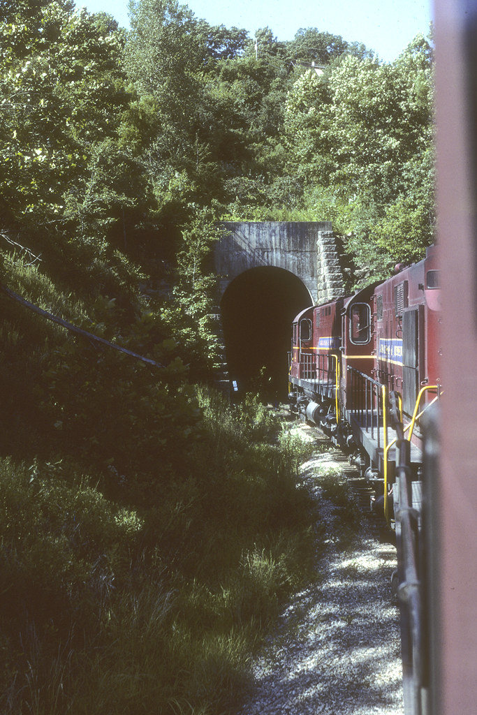
Bobby Hopper Tunnel
285 W Van Buren Ave
525 W Van Buren Ave
Bunyard Rd, Winslow, AR, USA
Winslow Township
Recent Searches:
- Elevation of Corso Fratelli Cairoli, 35, Macerata MC, Italy
- Elevation of Tallevast Rd, Sarasota, FL, USA
- Elevation of 4th St E, Sonoma, CA, USA
- Elevation of Black Hollow Rd, Pennsdale, PA, USA
- Elevation of Oakland Ave, Williamsport, PA, USA
- Elevation of Pedrógão Grande, Portugal
- Elevation of Klee Dr, Martinsburg, WV, USA
- Elevation of Via Roma, Pieranica CR, Italy
- Elevation of Tavkvetili Mountain, Georgia
- Elevation of Hartfords Bluff Cir, Mt Pleasant, SC, USA