Elevation of US-5, Windsor, VT, USA
Location: United States > Vermont > Windsor County > Windsor >
Longitude: -72.406997
Latitude: 43.4081701
Elevation: 126m / 413feet
Barometric Pressure: 100KPa
Elevation Map:
Satellite Map:
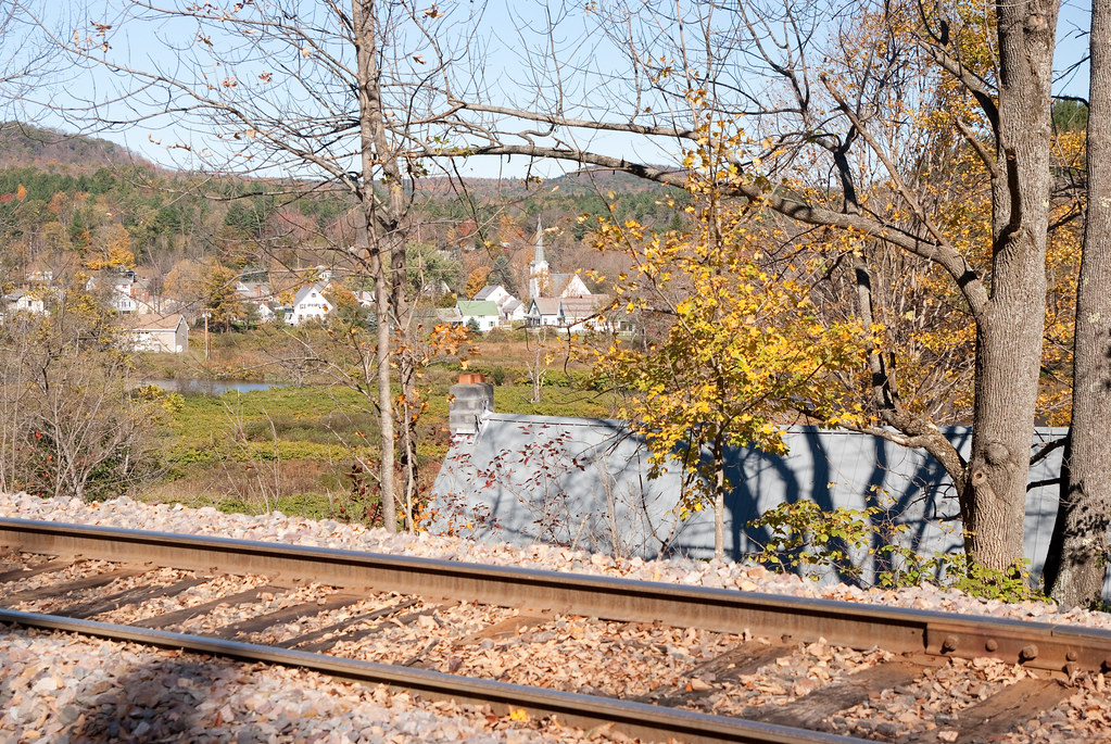
Related Photos:
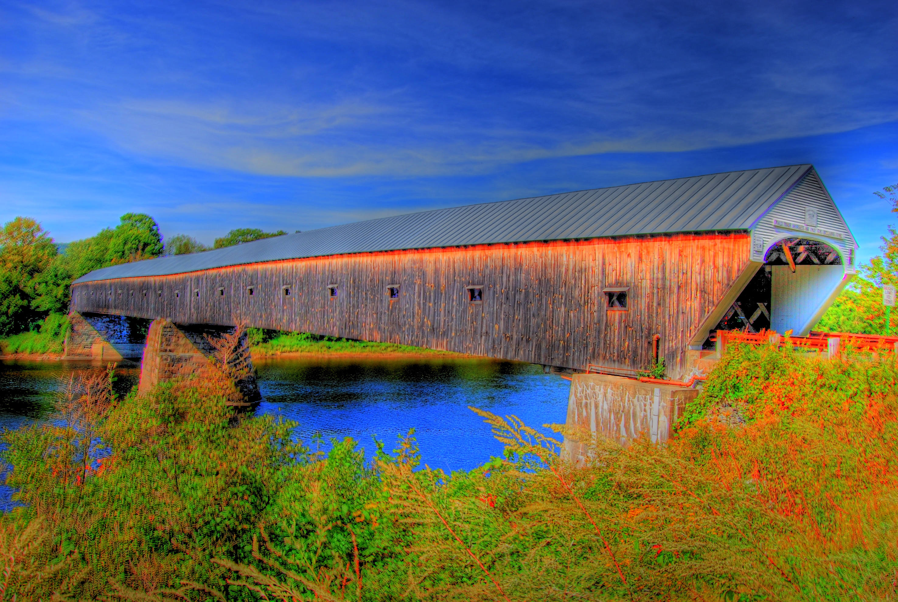
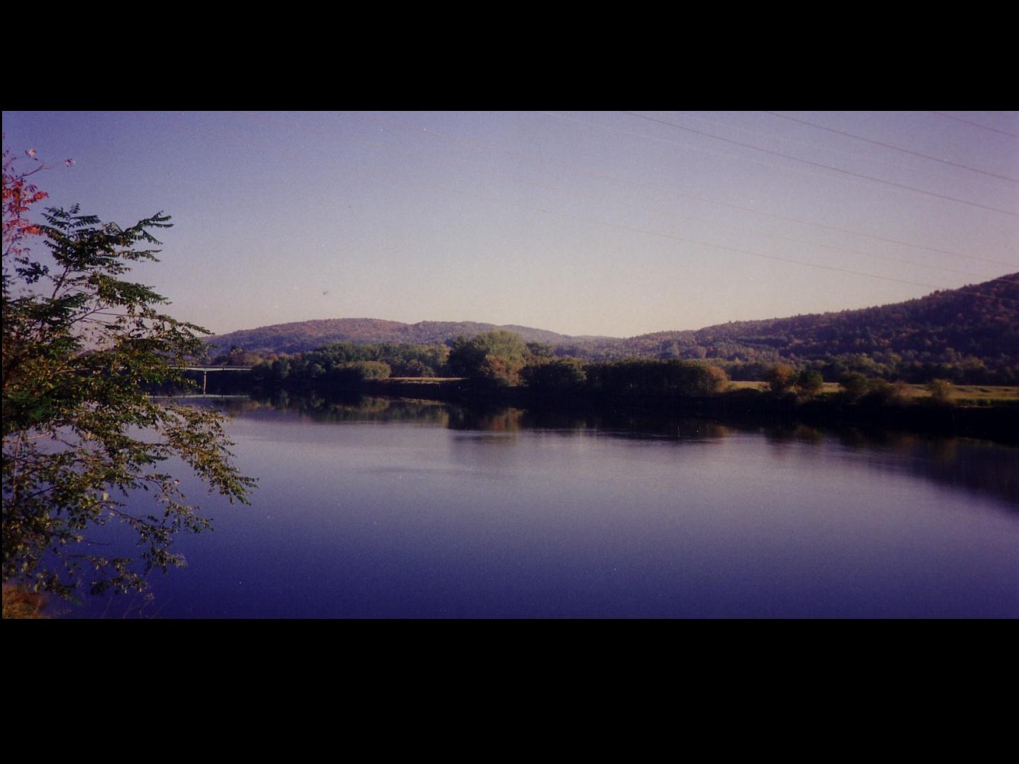
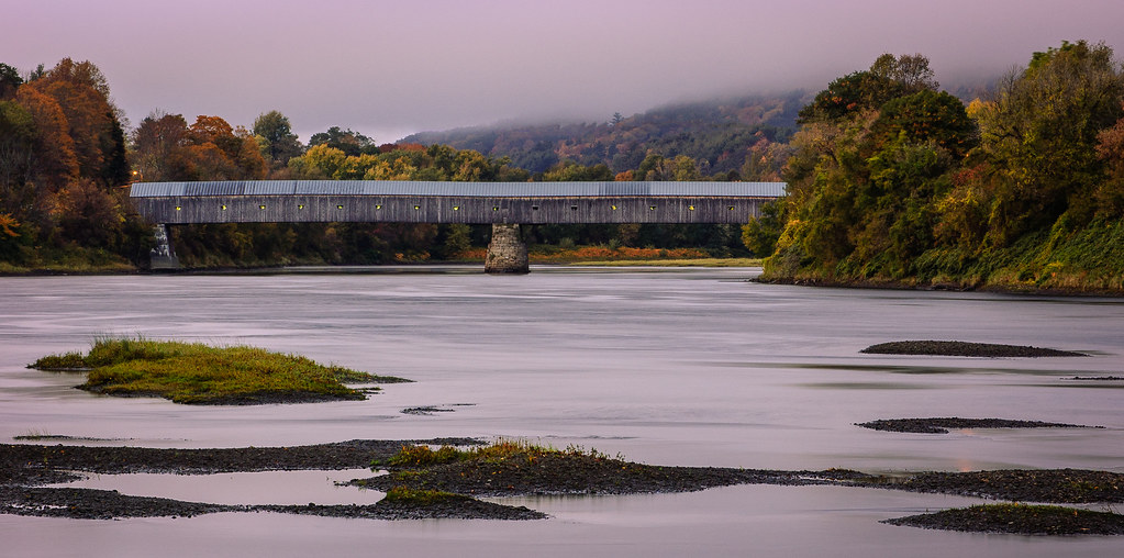
The Cornish-Windsor Covered Bridge
hassy view

The view from Brownsville Rock, Mt...

The Common Man Inn

Spine of the Green Mountains

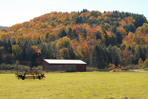
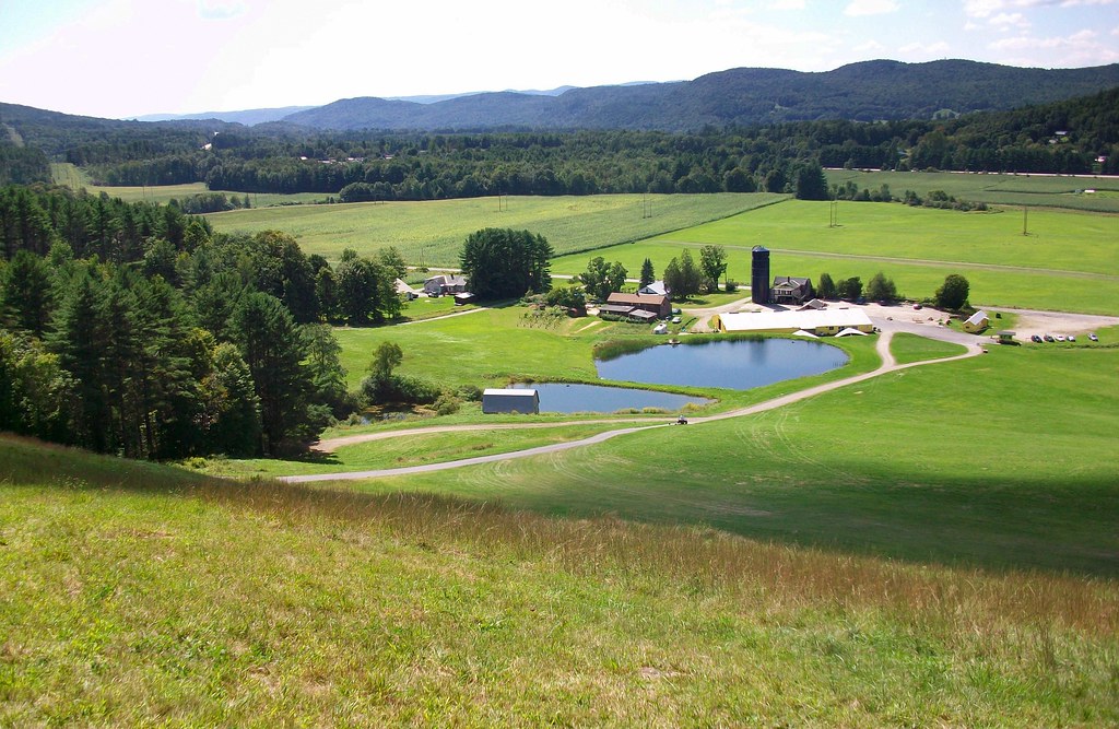
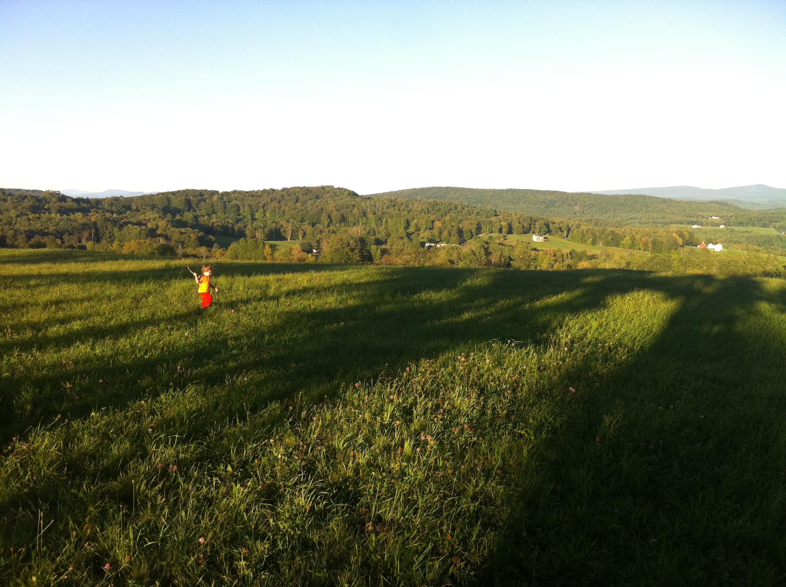
View from Cherry Hill Farm Springfield Vermont
Bridge Suite Morning View - Bottom Floor
Crack in the Door

Pilings at the abandoned Norcross Quarry...

View North
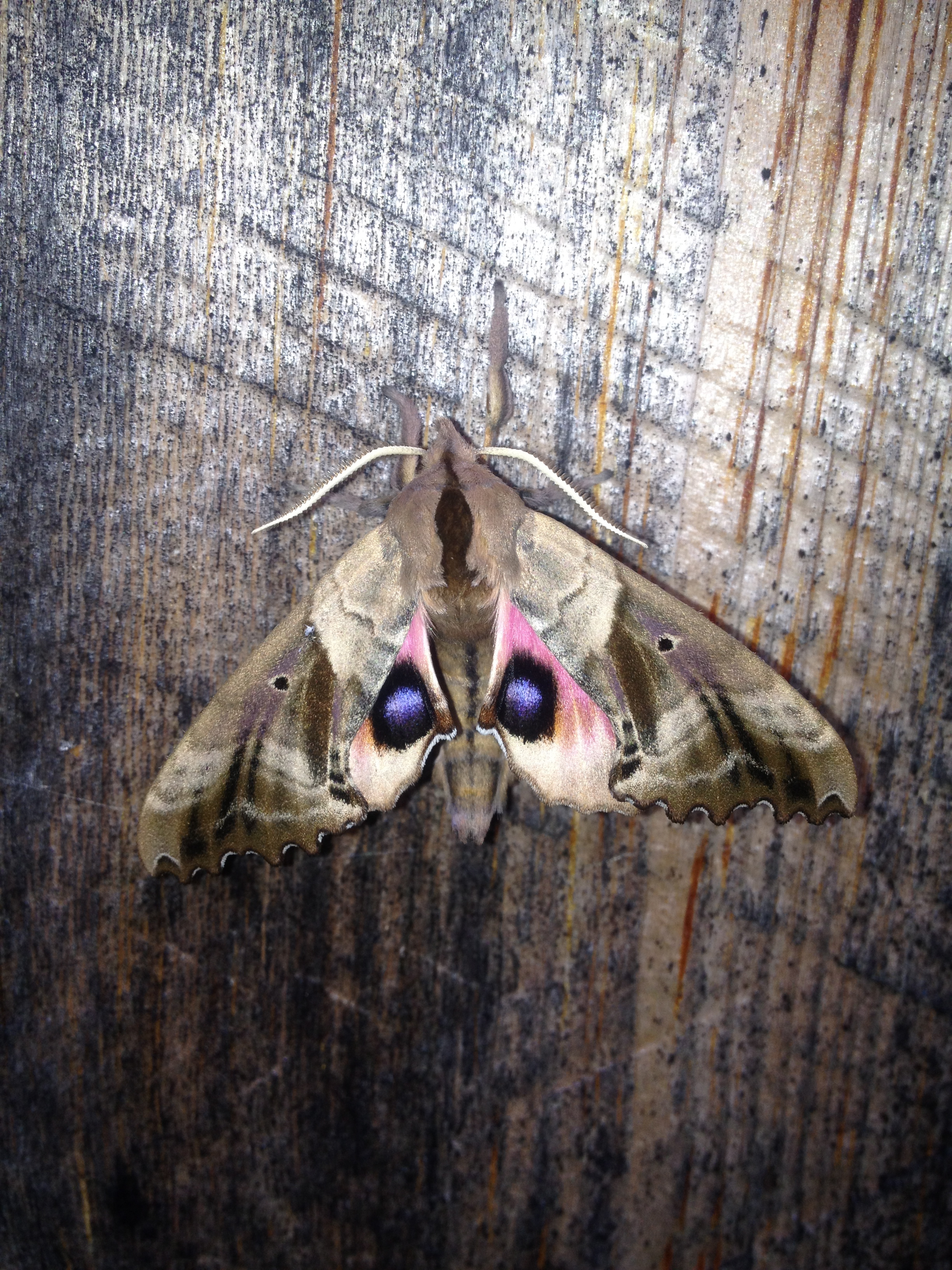
Don't Make the Moth Angry

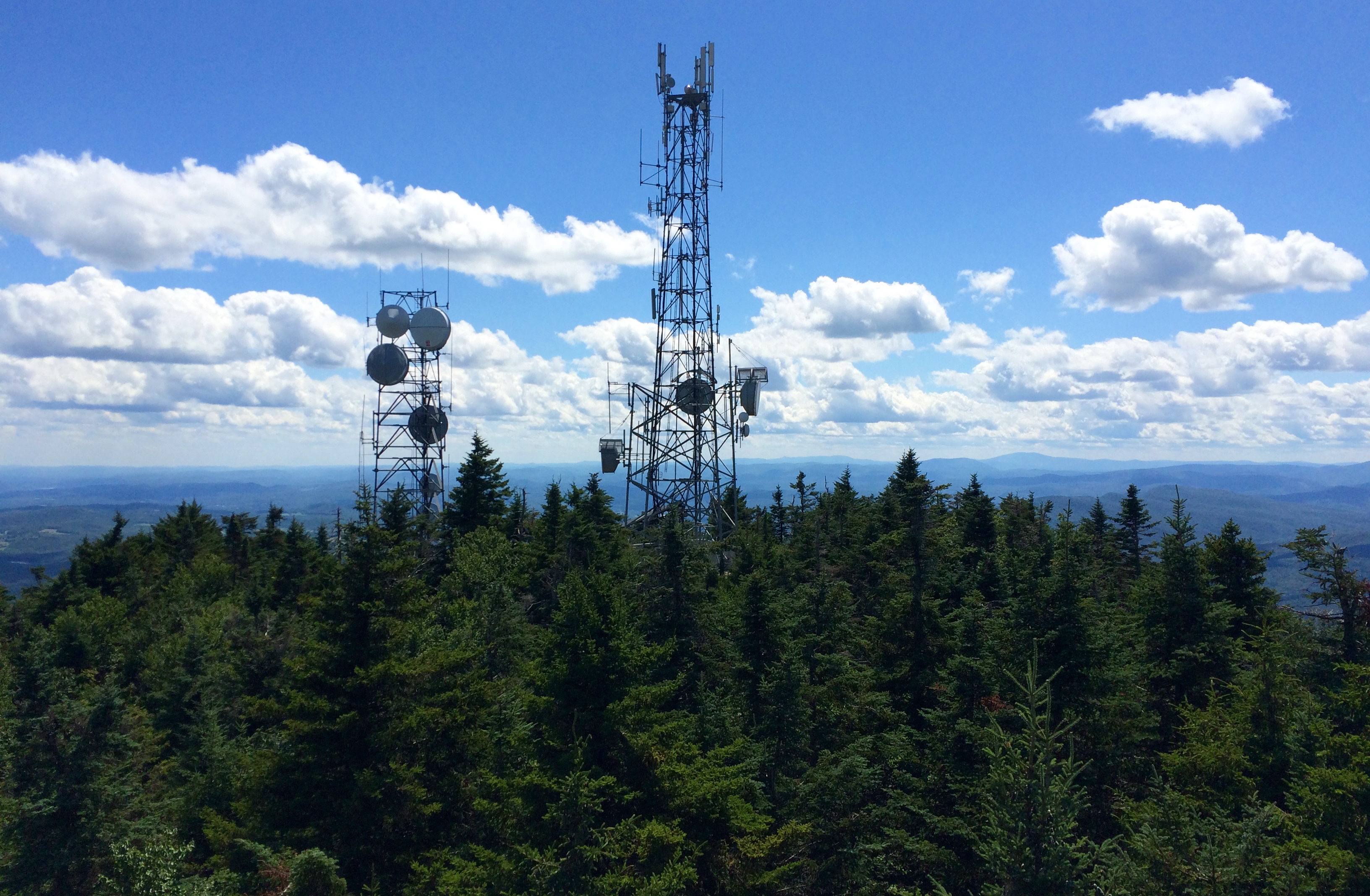
The Summit
View from Bests Covered Bridge, near Reading, Vermont
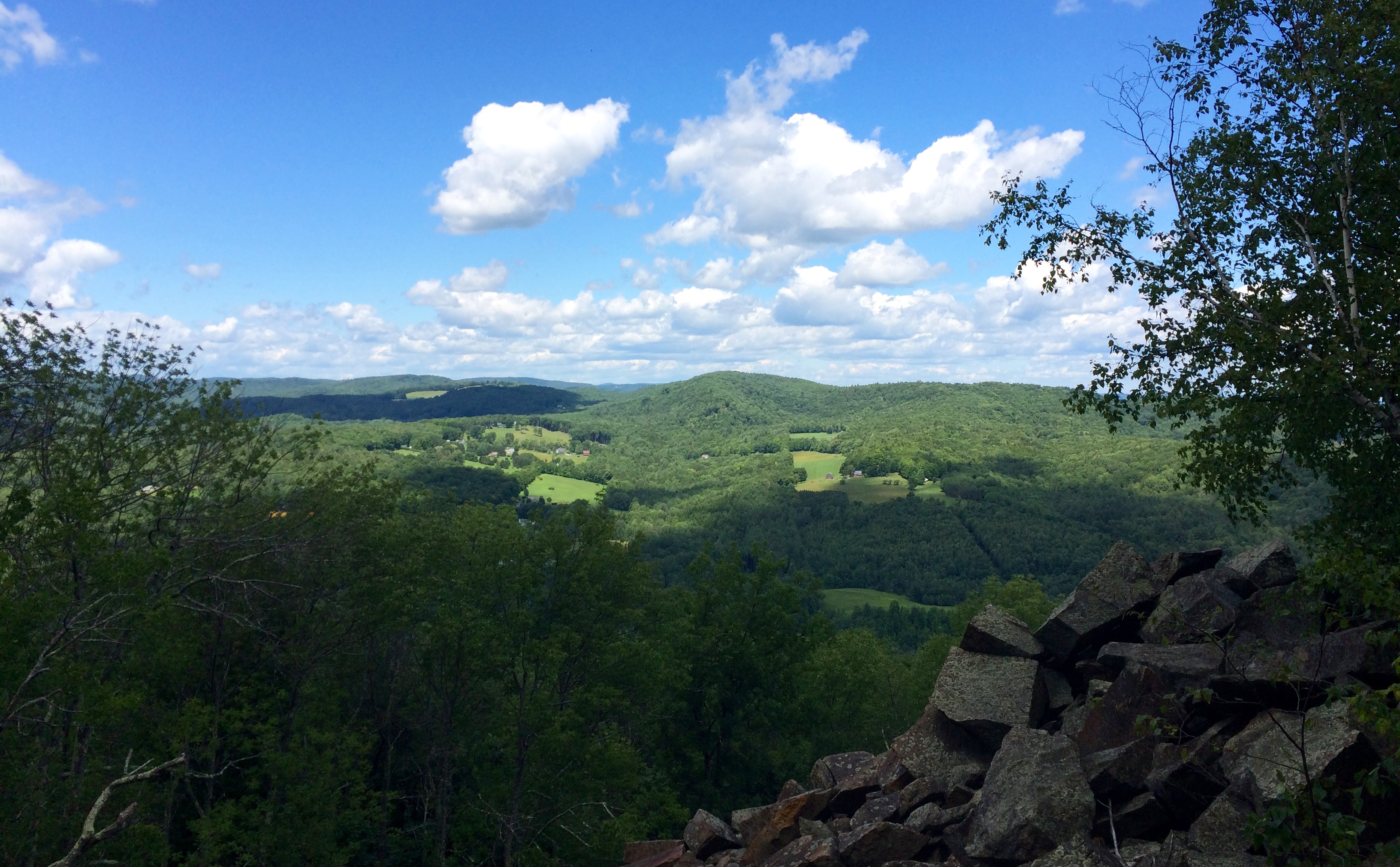
South View
View from Quarry
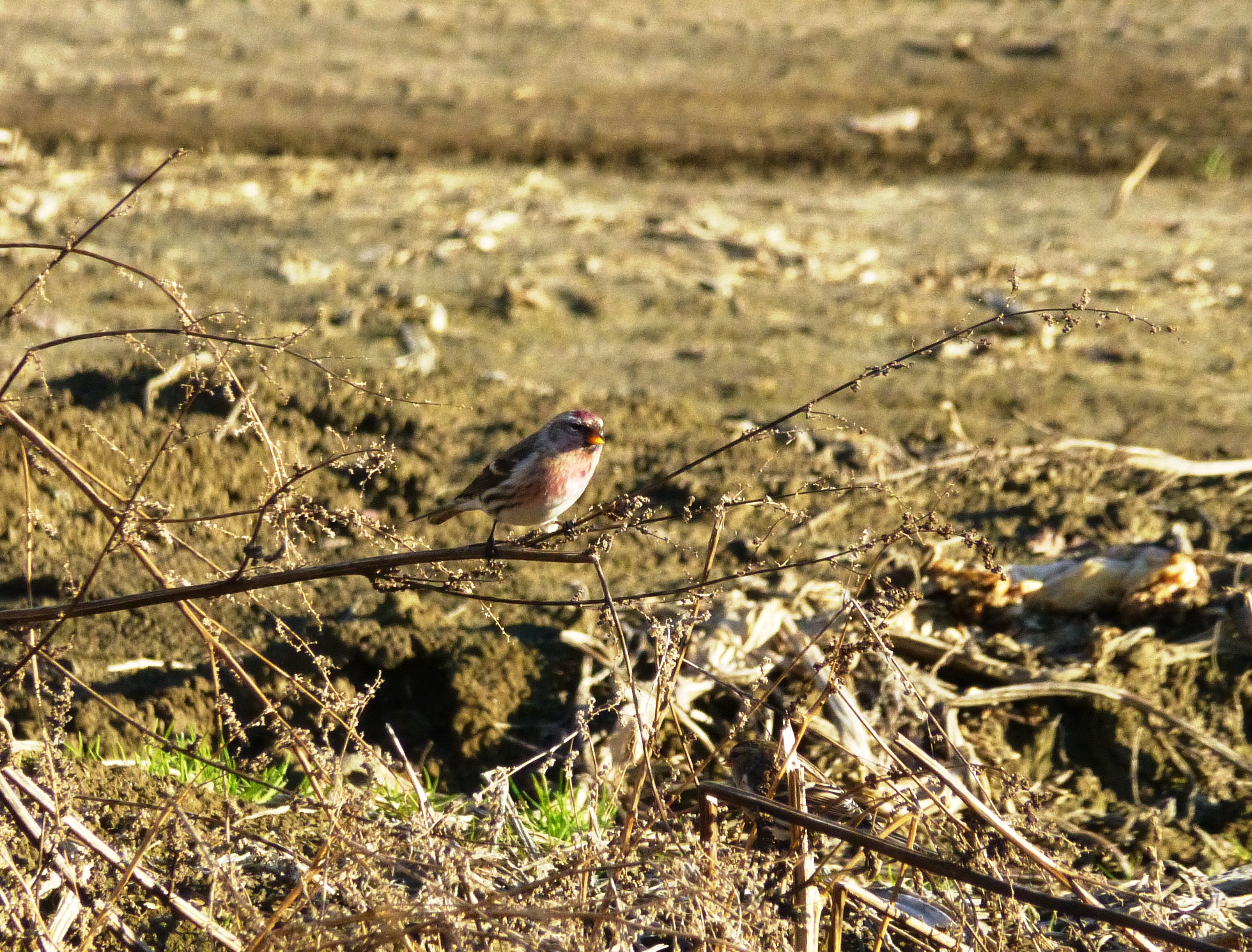
A Particularly Red Common Redpoll
Morningside Flight Park
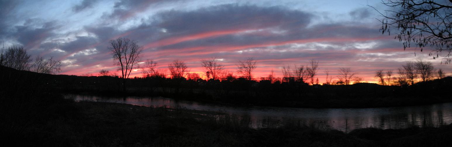
Sangria Pink Claremont Sunset

No Camping on Path
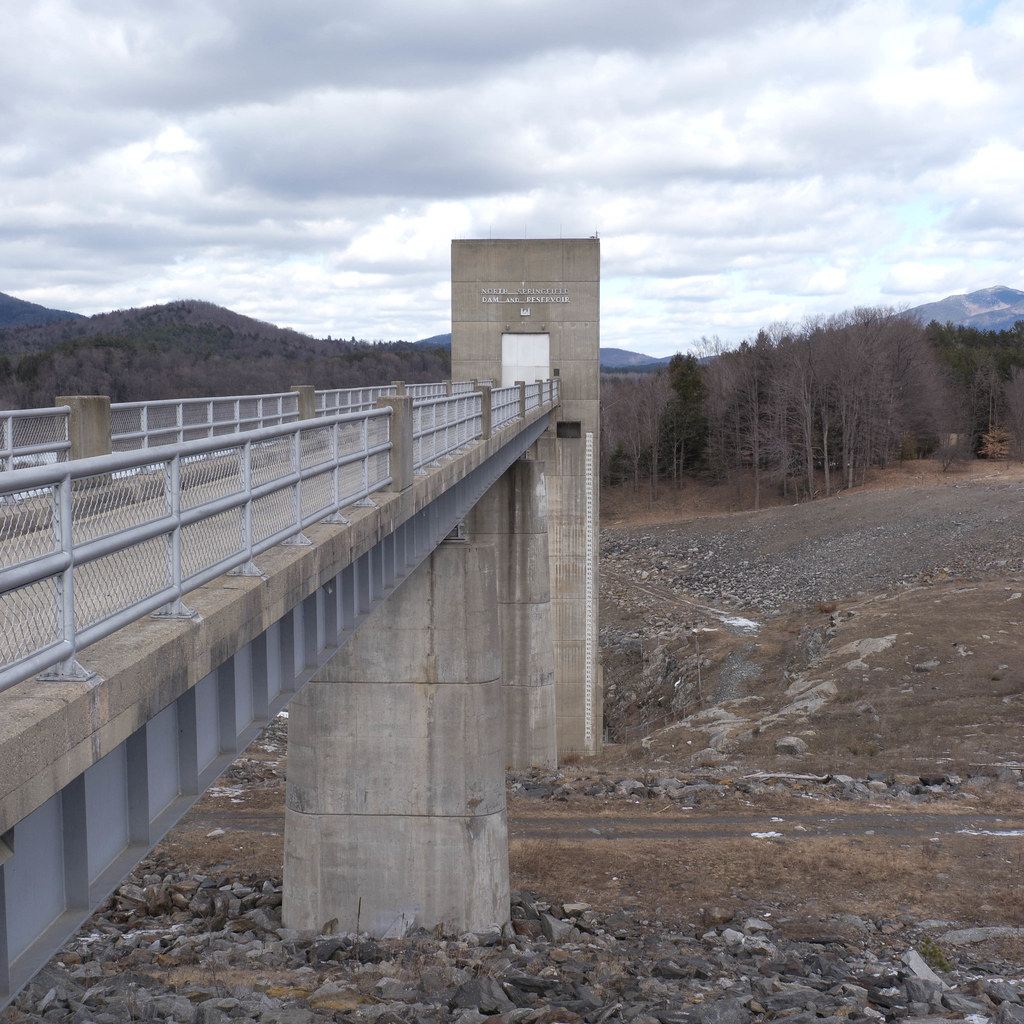
springfield dam-1020187
Phineas Gage accident site
Hello sun. I'm going to bed now.
Those people camped?!
Gorgeous afternoon
Wilgus SP- VT (2)
The Mystery of the Hearafter... beyond joy and pain
An Old Friend
Jasper Runs through Grandma's field.

West Springfield Resevoir - Perkinsville, VT

Cornish Windsor Bridge II

West Peak Portrait 1
Ascutney Mountain

Waterfall, Mt. Ascutney, Vermont
Green Mountain State

Feeling Spring

icy water under the covered bridge
Cornish-Windsor Bridge
Waterfall at Monadnock Mill, Claremont, NH

Sugar River Falls

the edge of the field in front of my folk's house in winter.
Topographic Map of US-5, Windsor, VT, USA
Find elevation by address:

Places near US-5, Windsor, VT, USA:
Weathersfield
86 Windy Hill Rd
4 Grannis St
32 Grannis St
1013 Us-5
4 Marcotte Ave
14 Front St, Claremont, NH, USA
Claremont
Piper Hill Road
Bible Hill Road
Morningside Lane
37 W Unity Rd
1164 Connecticut River Rd
Hemingway Farms
148 County Farm Rd
Michael Avenue
64 Emile Ave
Unity
2nd Nh Turnpike
2nd Nh Turnpike
Recent Searches:
- Elevation of Lampiasi St, Sarasota, FL, USA
- Elevation of Elwyn Dr, Roanoke Rapids, NC, USA
- Elevation of Congressional Dr, Stevensville, MD, USA
- Elevation of Bellview Rd, McLean, VA, USA
- Elevation of Stage Island Rd, Chatham, MA, USA
- Elevation of Shibuya Scramble Crossing, 21 Udagawacho, Shibuya City, Tokyo -, Japan
- Elevation of Jadagoniai, Kaunas District Municipality, Lithuania
- Elevation of Pagonija rock, Kranto 7-oji g. 8"N, Kaunas, Lithuania
- Elevation of Co Rd 87, Jamestown, CO, USA
- Elevation of Tenjo, Cundinamarca, Colombia