Elevation of US-41, Rosedale, IN, USA
Location: United States > Indiana > Parke County > Florida Township > Rosedale >
Longitude: -87.371288
Latitude: 39.608882
Elevation: 157m / 515feet
Barometric Pressure: 99KPa
Elevation Map:
Satellite Map:
Related Photos:

Rail Car Graffiti
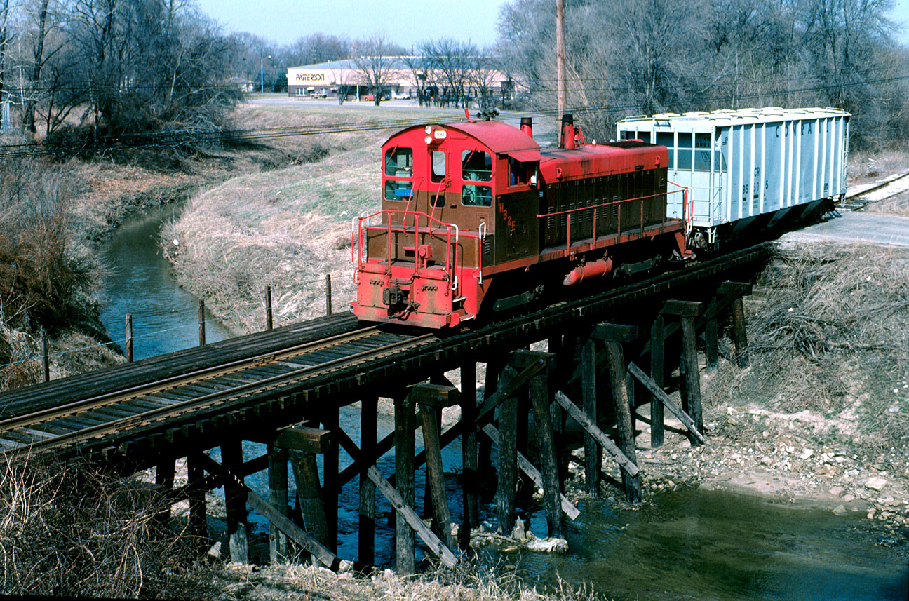
TBER 100 at Lost Creek
Stainless Tangle
Avenue and fountain - view from Foley
An XL (lent!) Chase Part 18

Franey General Council, 1948-1953
View from Mecca Covered Bridge, east of Mecca IN

Haley Tower, Terre Haute - B&W

1940 Henney Packard Hearse
RH Spring Morning
Through my window

The Rails' Rails
1940 Henney Packard Hearse

1940 Henney Packard Hearse
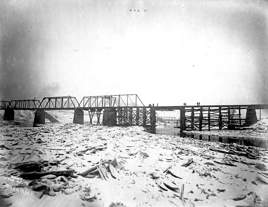
Wabash River Big 4 bridge collapse 1900
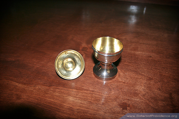
Silver ciborium inside
recharge the batteries
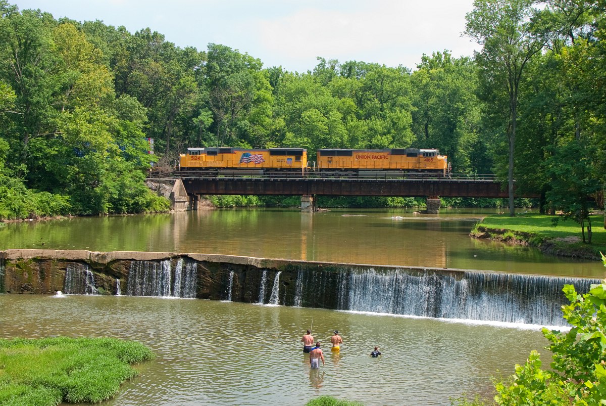
UP 4165 CSX Q131 North Terre Haute IN 09 July 2011
Former Ritz Plaza Motel

Pater familias

Pipe Dreams

Double Barn
grasping the waning moments of the day
Water in the Clouds
keep going
where do we go from here?

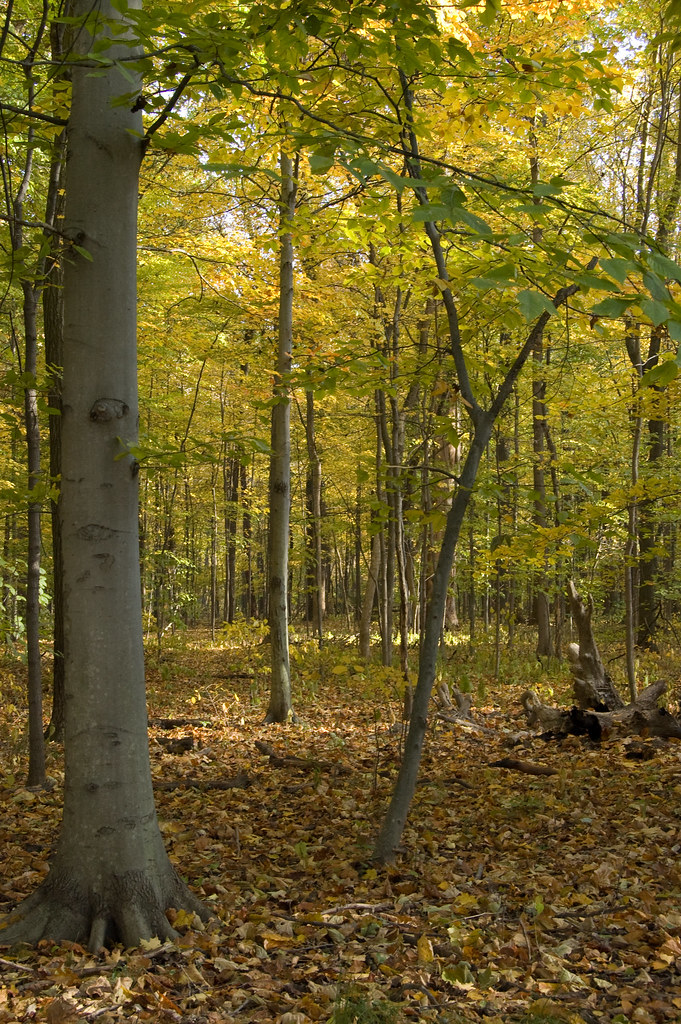
jamie s grimes folder 2 nature shots 004

Early spring sunset on the wabash river -photography by jamie s grimes
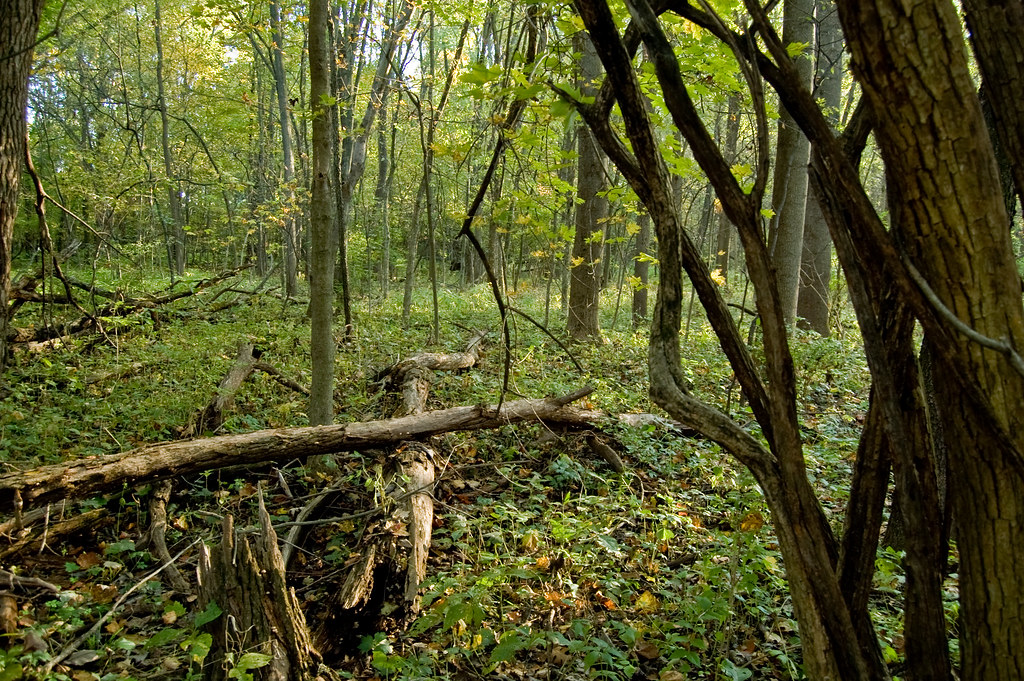
el bosque
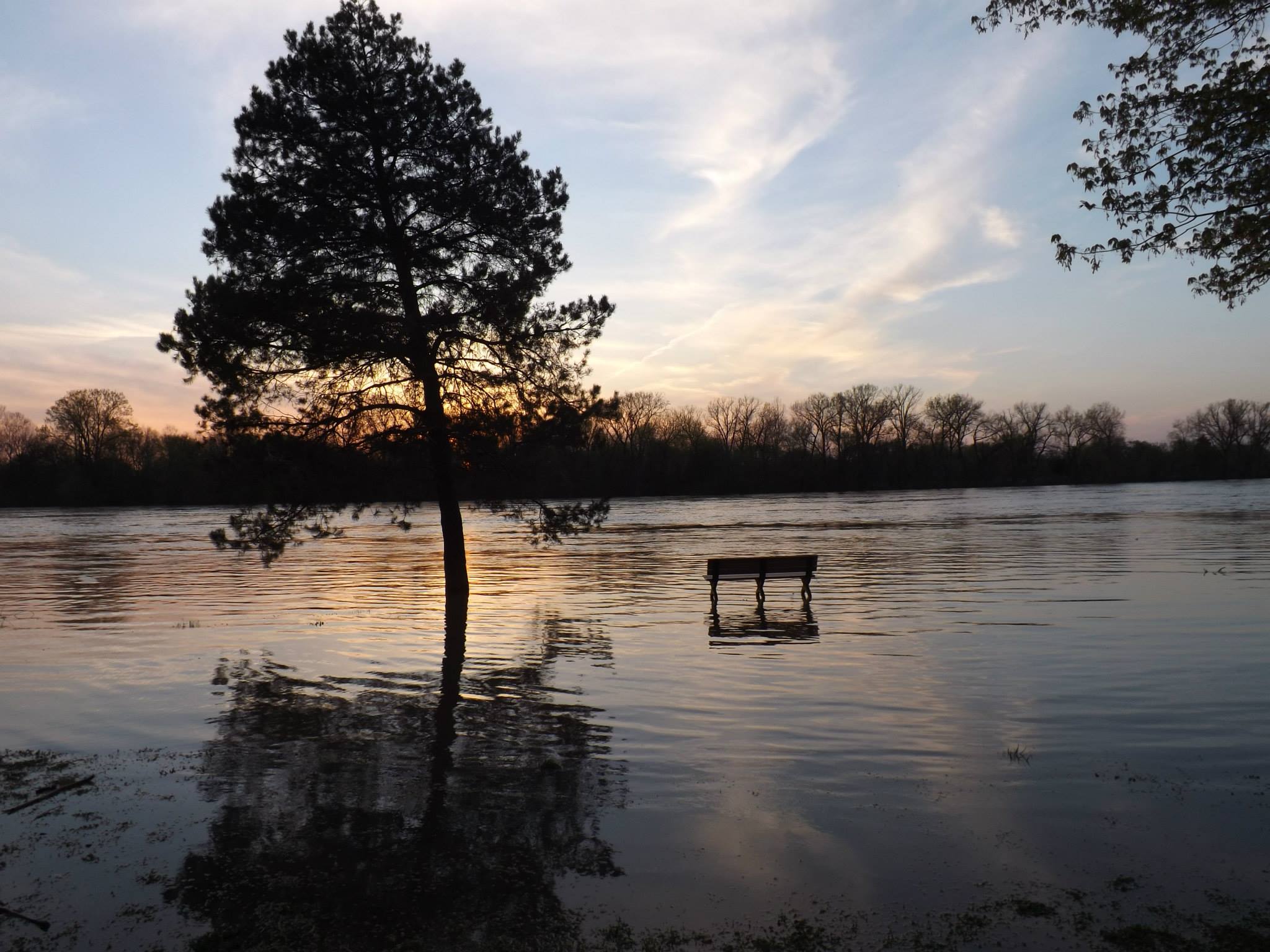
sunset on the flooded wabash river in terre haute indiana -by jamie s grimes

Deming Park HDR - Take 2
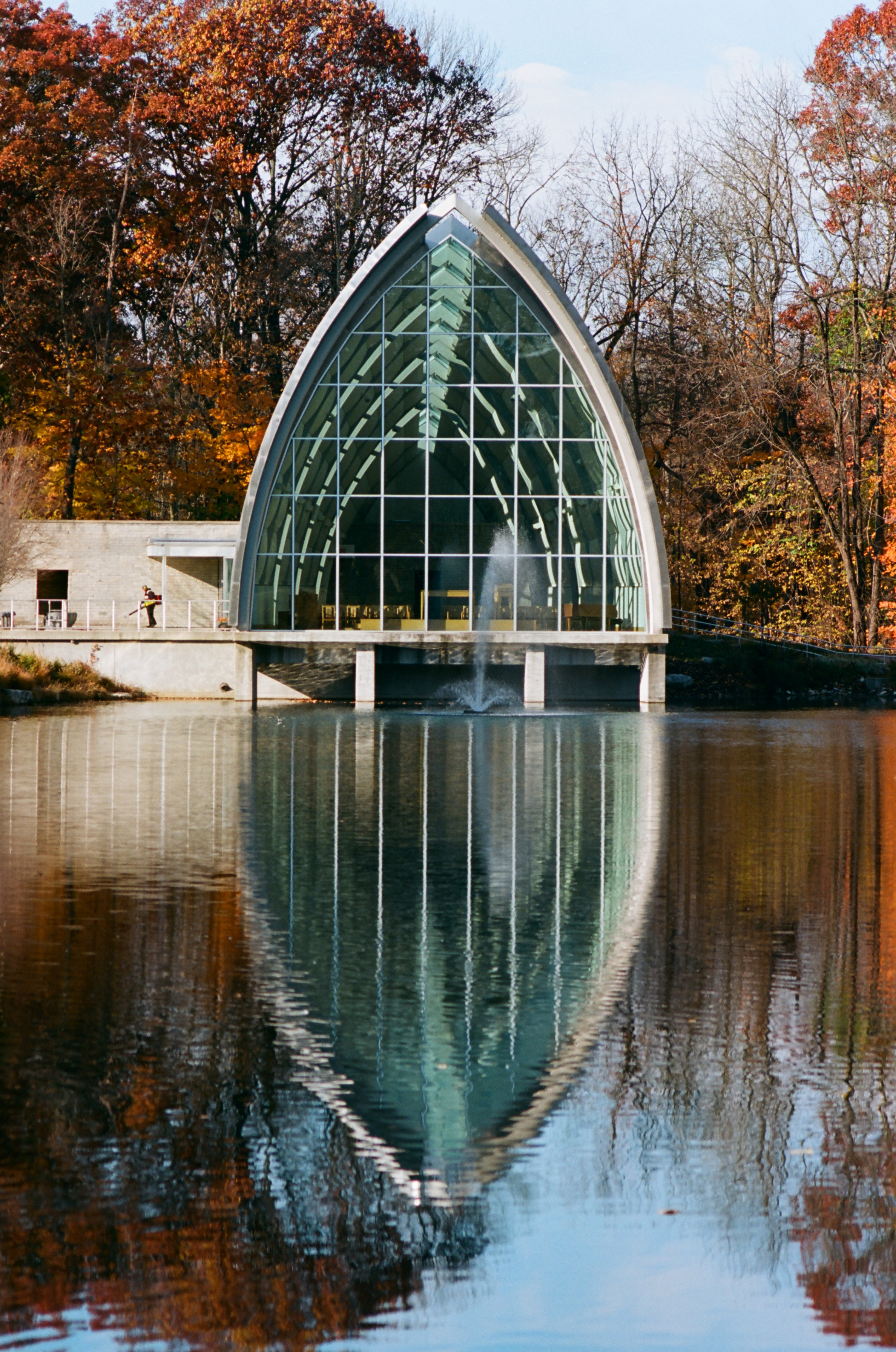
White Chapel
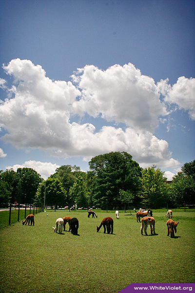
White Violet Farm Alpacas

Where do they lead to ?
good afternoon!
Flowers, sky.
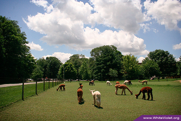
White Violet Farm Alpacas
St. Joseph Lake
White Violet Center garden
Otter Creek
Snow March 2013
Topographic Map of US-41, Rosedale, IN, USA
Find elevation by address:

Places near US-41, Rosedale, IN, USA:
W S, Rosedale, IN, USA
6th St, Rosedale, IN, USA
S Rhodes Cir, Clinton, IN, USA
Otter Creek Township
6477 Lambert Ave
Clinton
Florida Township
E Rio Grande Ave, Terre Haute, IN, USA
Durkees Ferry Rd, West Terre Haute, IN, USA
SW Vine St, Clinton, IN, USA
Clinton St, Clinton, IN, USA
Rosedale
3733 S 600 W
Clinton Township
S Summit Grove Dr, Clinton, IN, USA
Fayette Township
N Lenderman Pl, West Terre Haute, IN, USA
Catlin Rd, Rosedale, IN, USA
Wabash Township
N Borman Pl, West Terre Haute, IN, USA
Recent Searches:
- Elevation of Crystal Cir, Birmingham, AL, USA
- Elevation of N Railroad Ave, West Palm Beach, FL, USA
- Elevation of 55 Cassick Valley Rd, Wellfleet, MA, USA
- Elevation of Ironwood Dr, Minden, NV, USA
- Elevation of 高尾山口駅, Takaomachi, Hachioji, Tokyo -, Japan
- Elevation of 15 Victory Ave, Greenville, SC, USA
- Elevation of Kota Ternate Utara, Ternate City, North Maluku, Indonesia
- Elevation of Allon St, Oceanside, NY, USA
- Elevation of Carroll Creek Rd, Custer, SD, USA
- Elevation of Lust Road, Lust Rd, Florida, USA