Elevation of US-33, Albion, IN, USA
Location: United States > Indiana > Noble County > Noble Township >
Longitude: -85.434868
Latitude: 41.2872426
Elevation: 285m / 935feet
Barometric Pressure: 98KPa
Elevation Map:
Satellite Map:
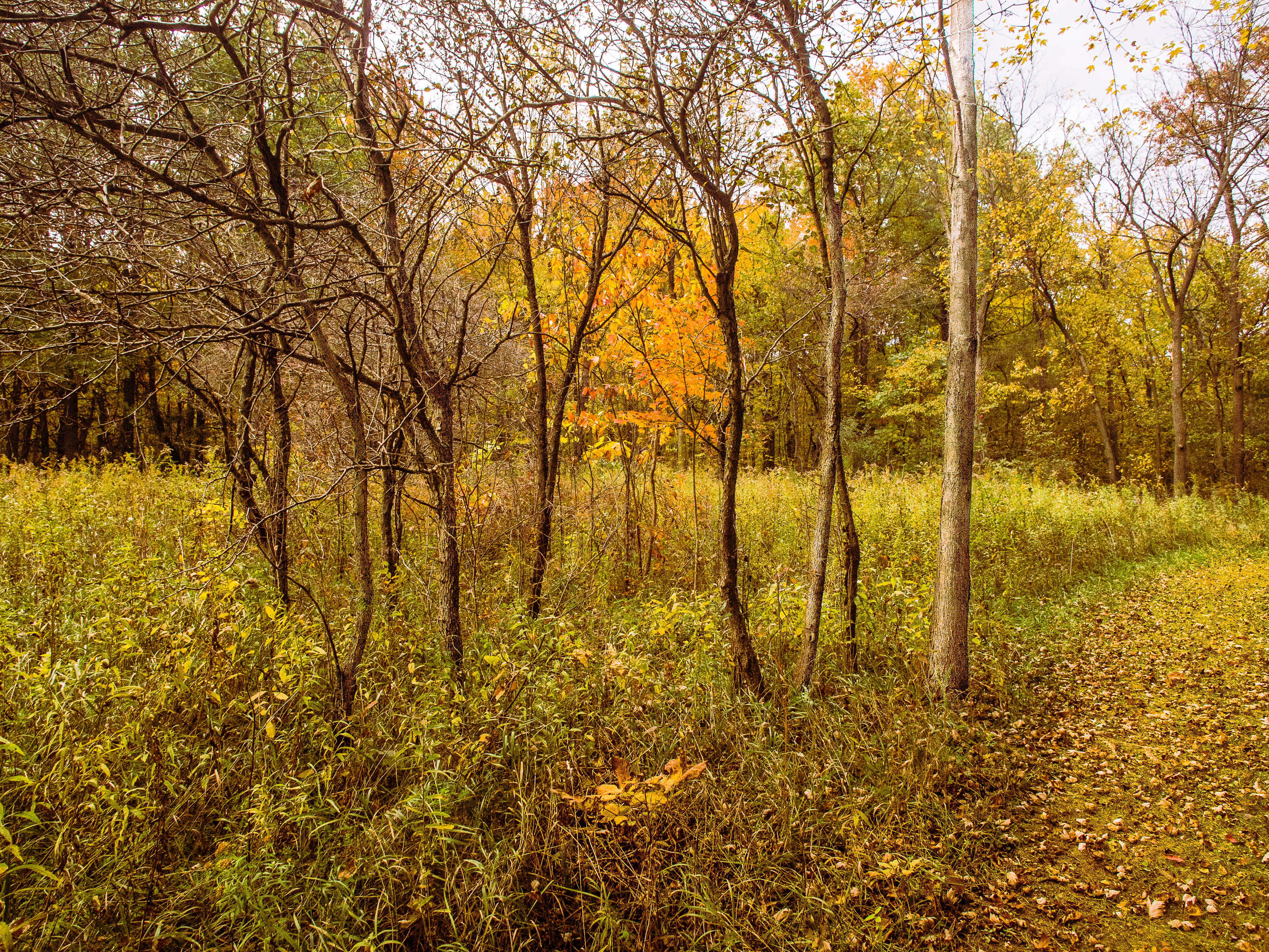
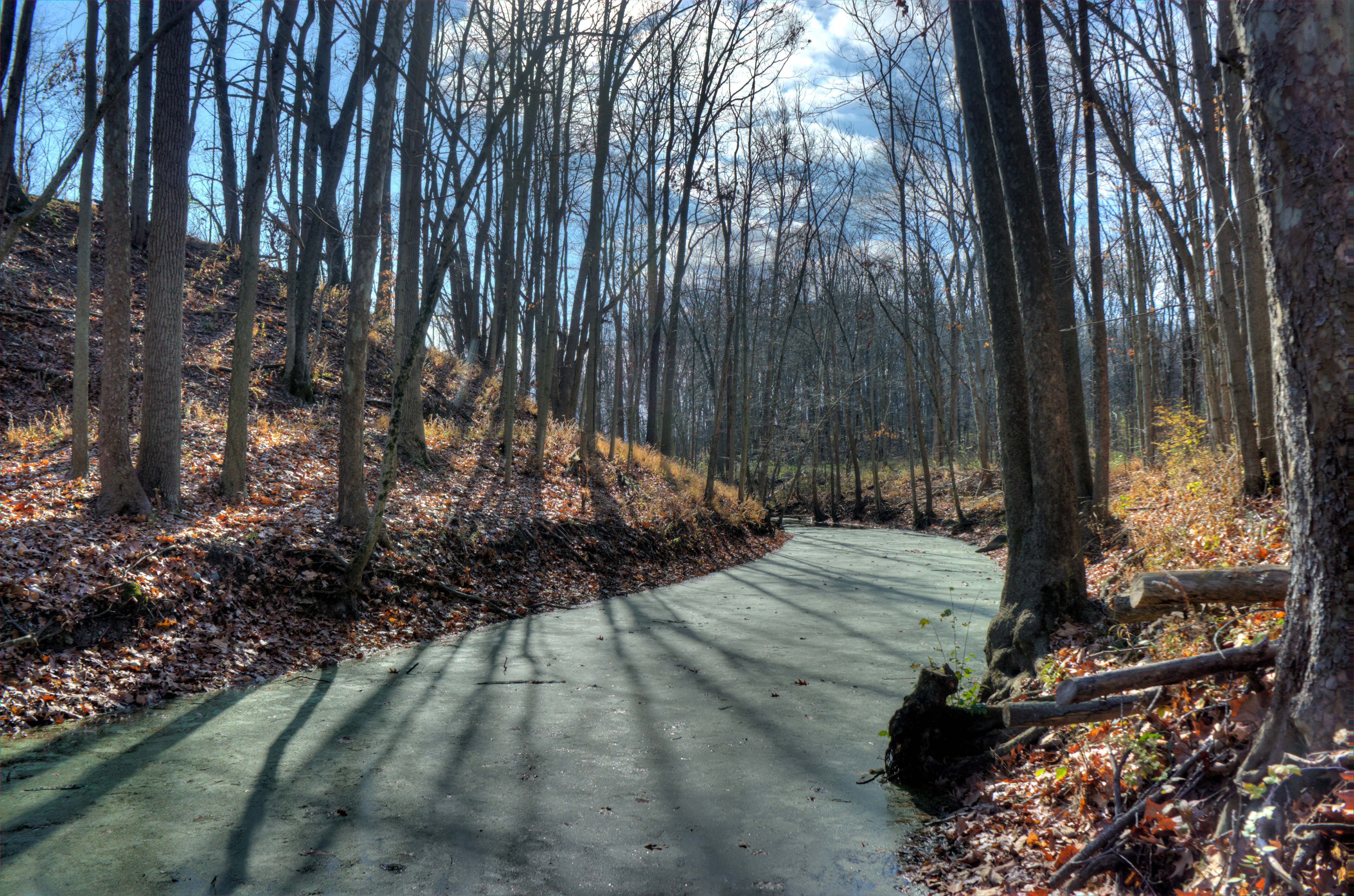
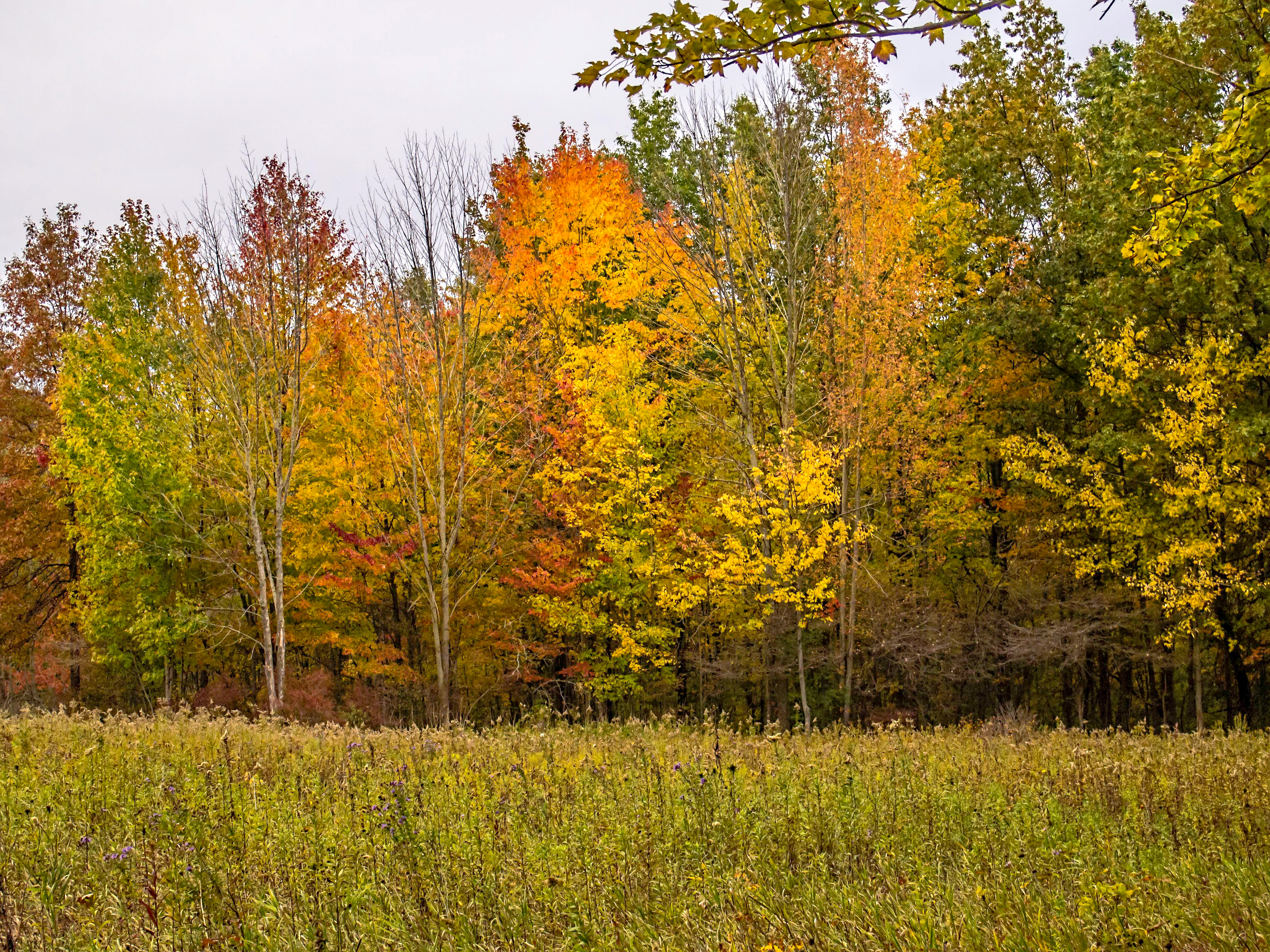
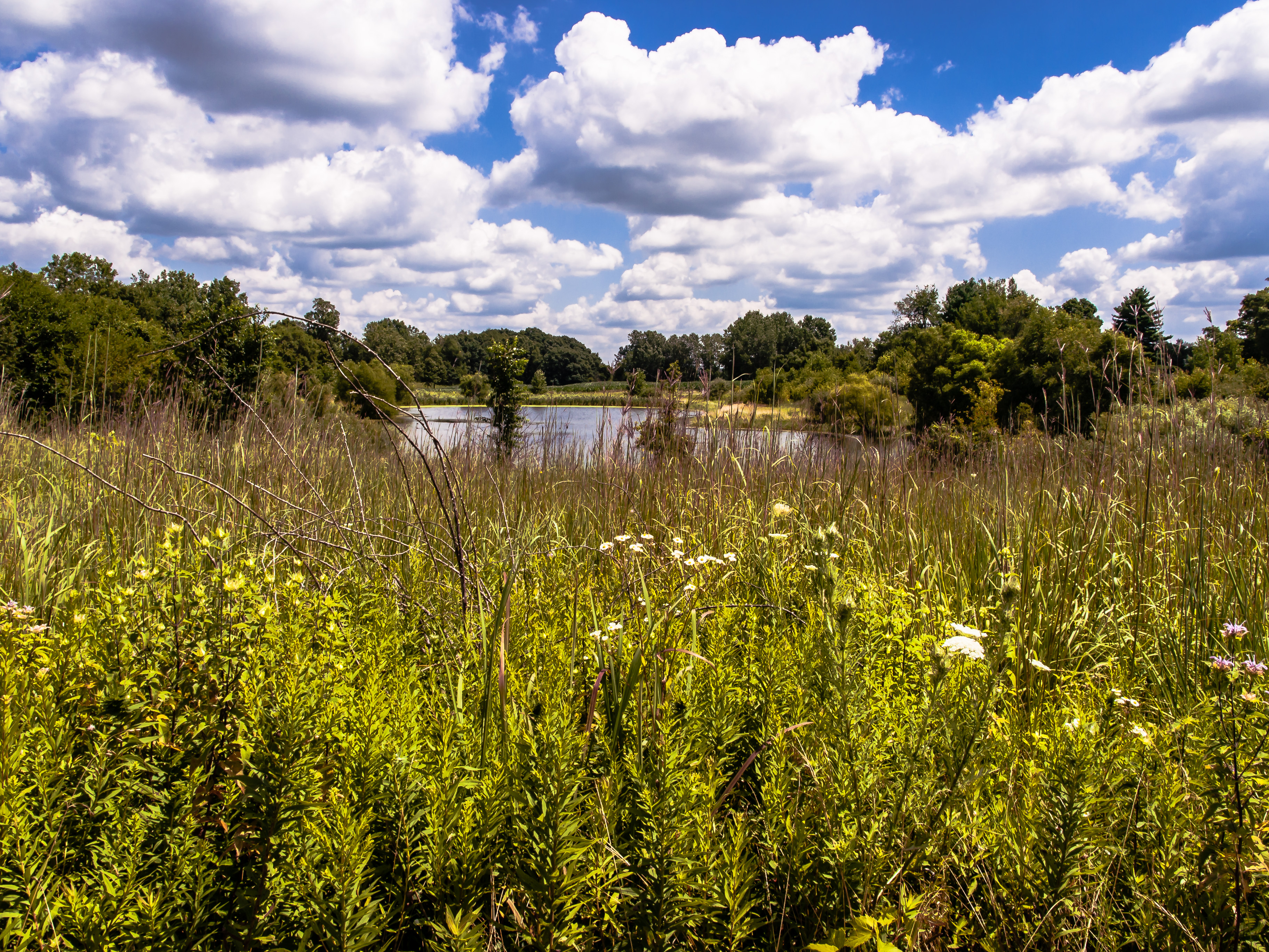
Related Photos:

The view from here.

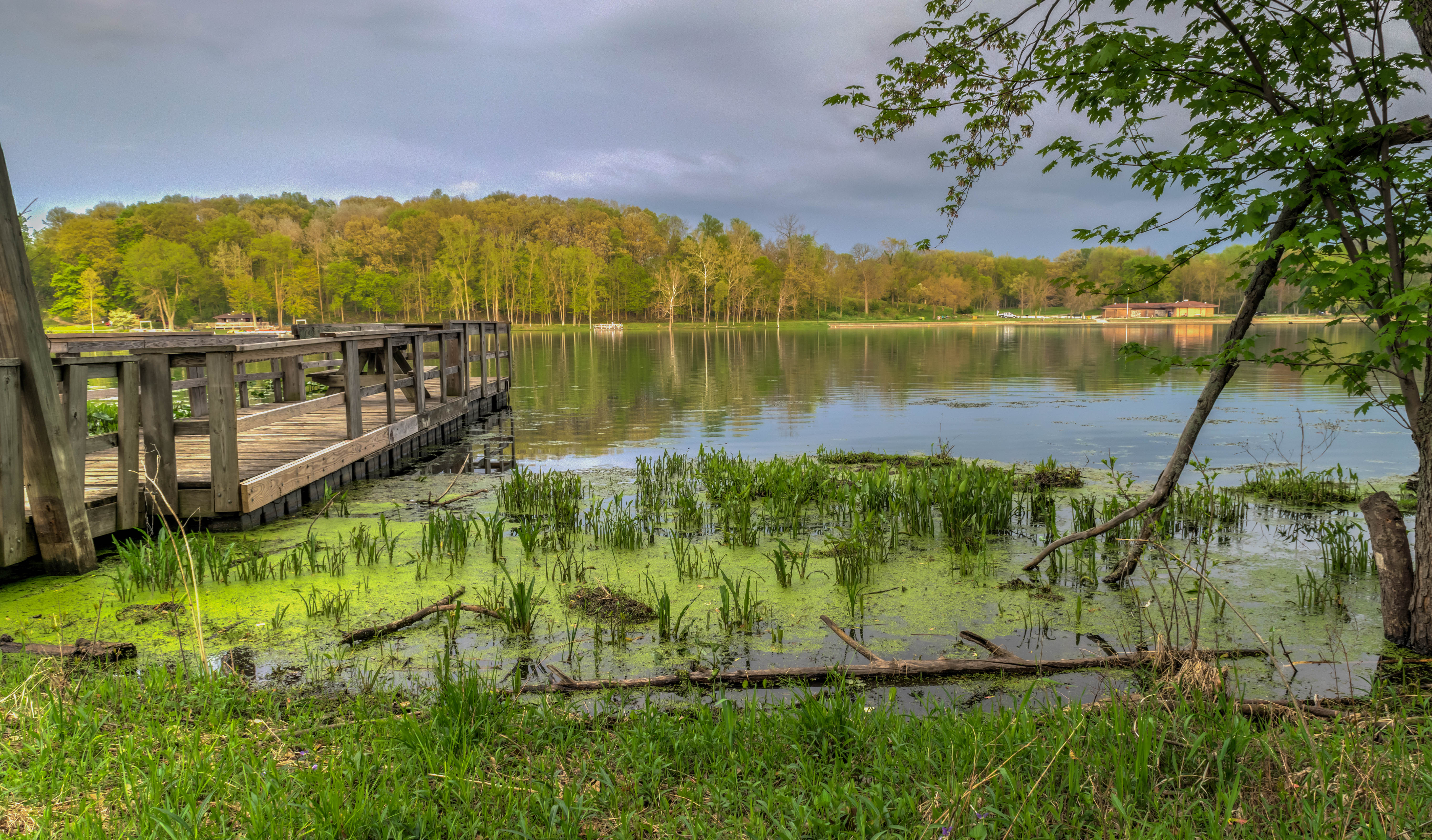
Spring Repose

Dogs Eye View
A golden view

School Desk
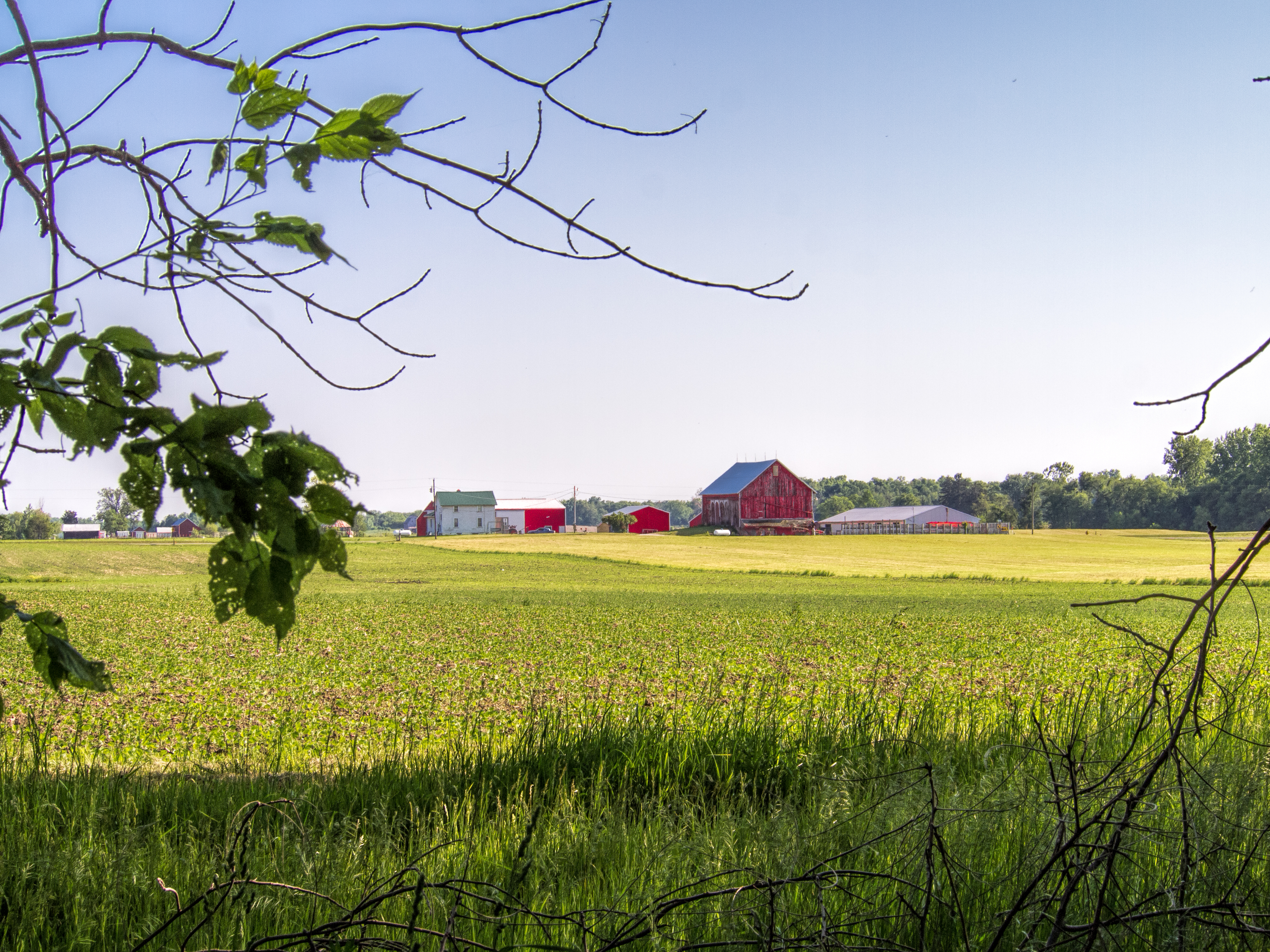
Indiana Farm at 5:38 pm

Killer Lightning Bug

Yellow on purple
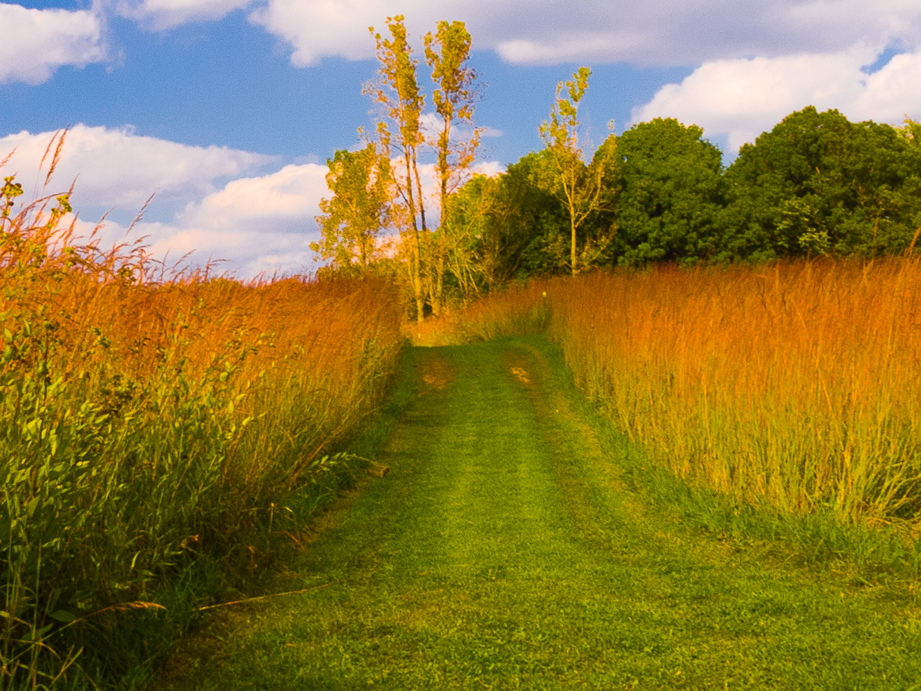
Golden Pathway

Kesling Wetland and Farmstead
Luckey's Lane of Merry Lea Center
The Other Side

Bear Lake Prairie on Trail K

Back to Kesling
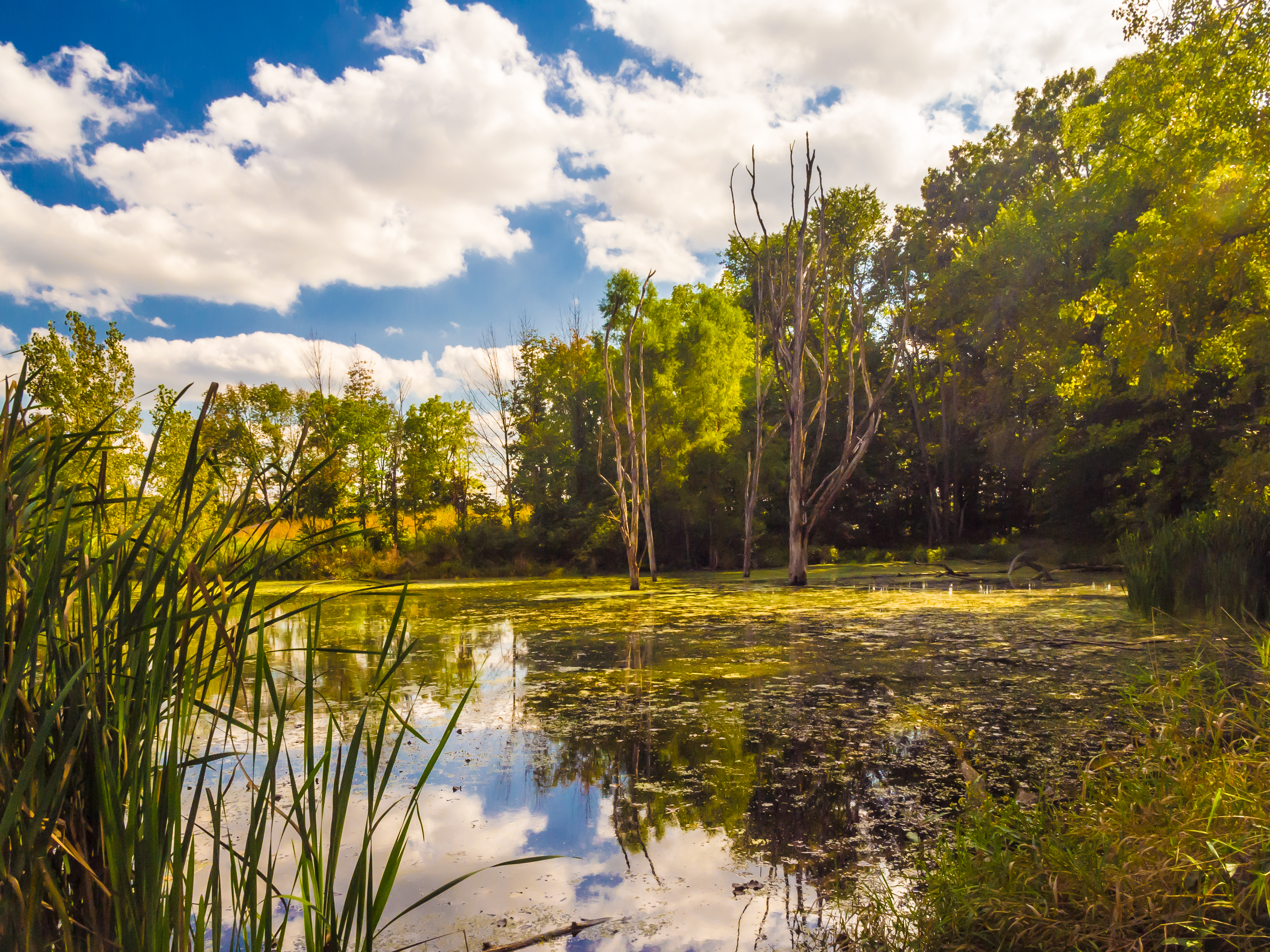
Kesling Wetland

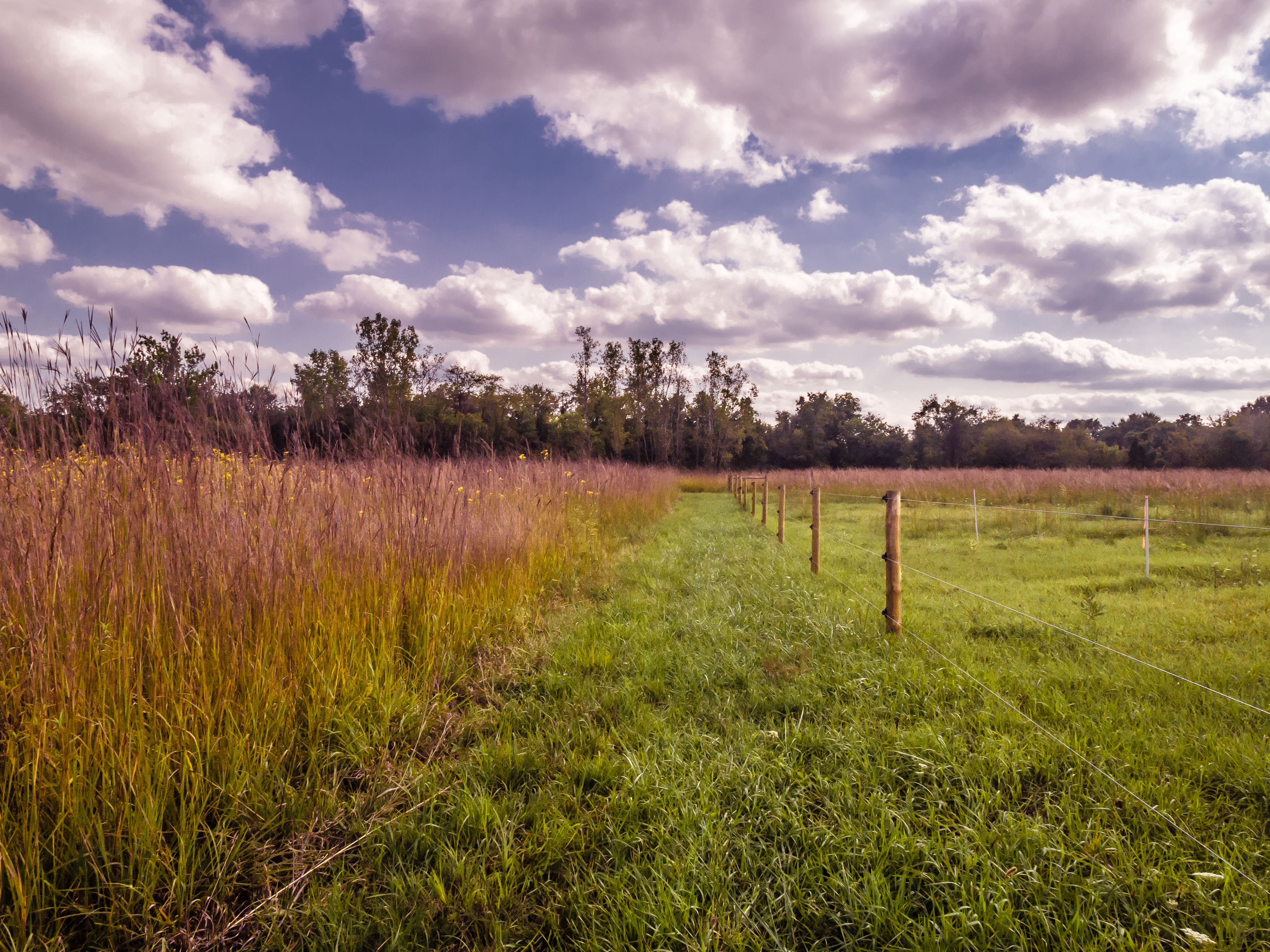
Fenced Meadow
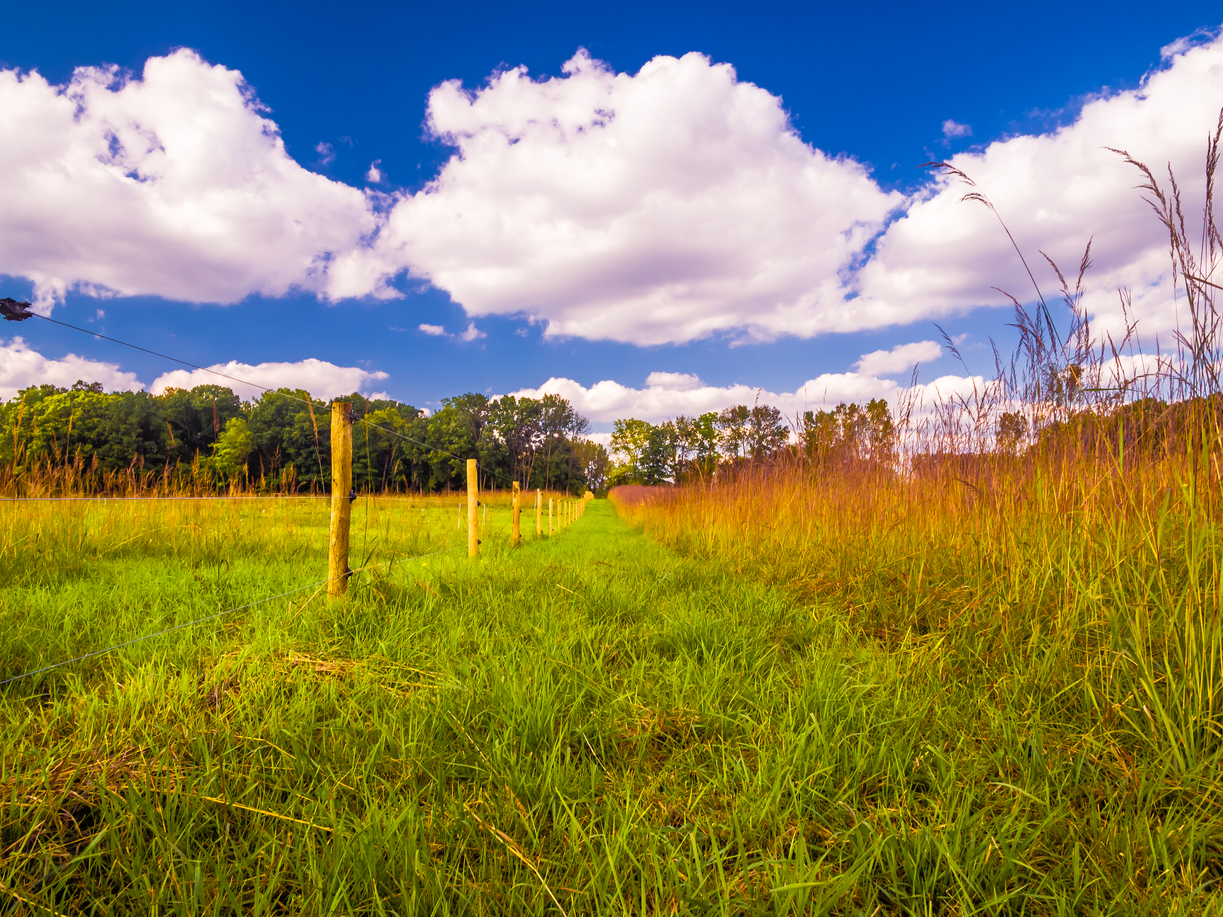
Prairie Grass
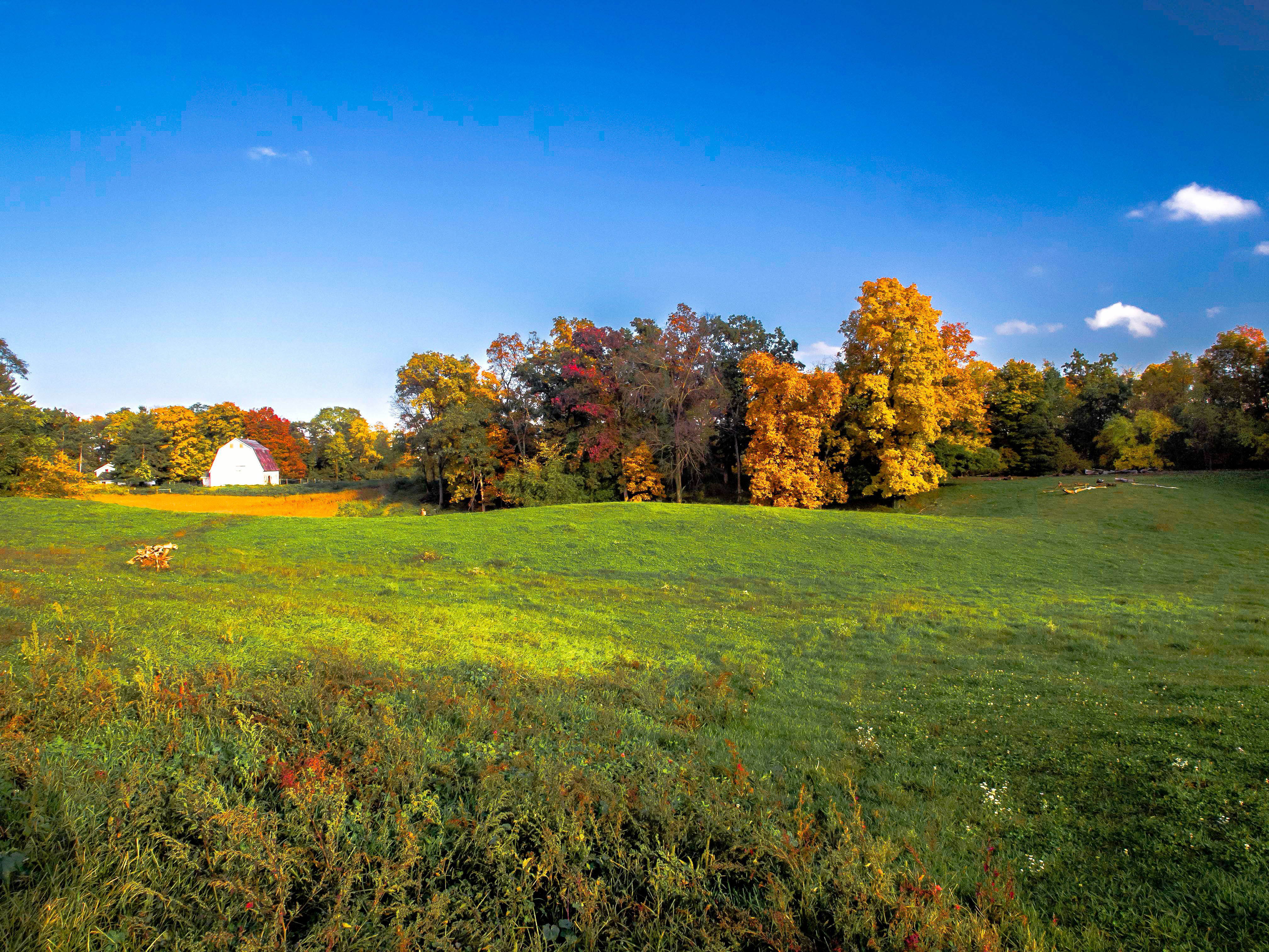
Fall Evening at the Farm
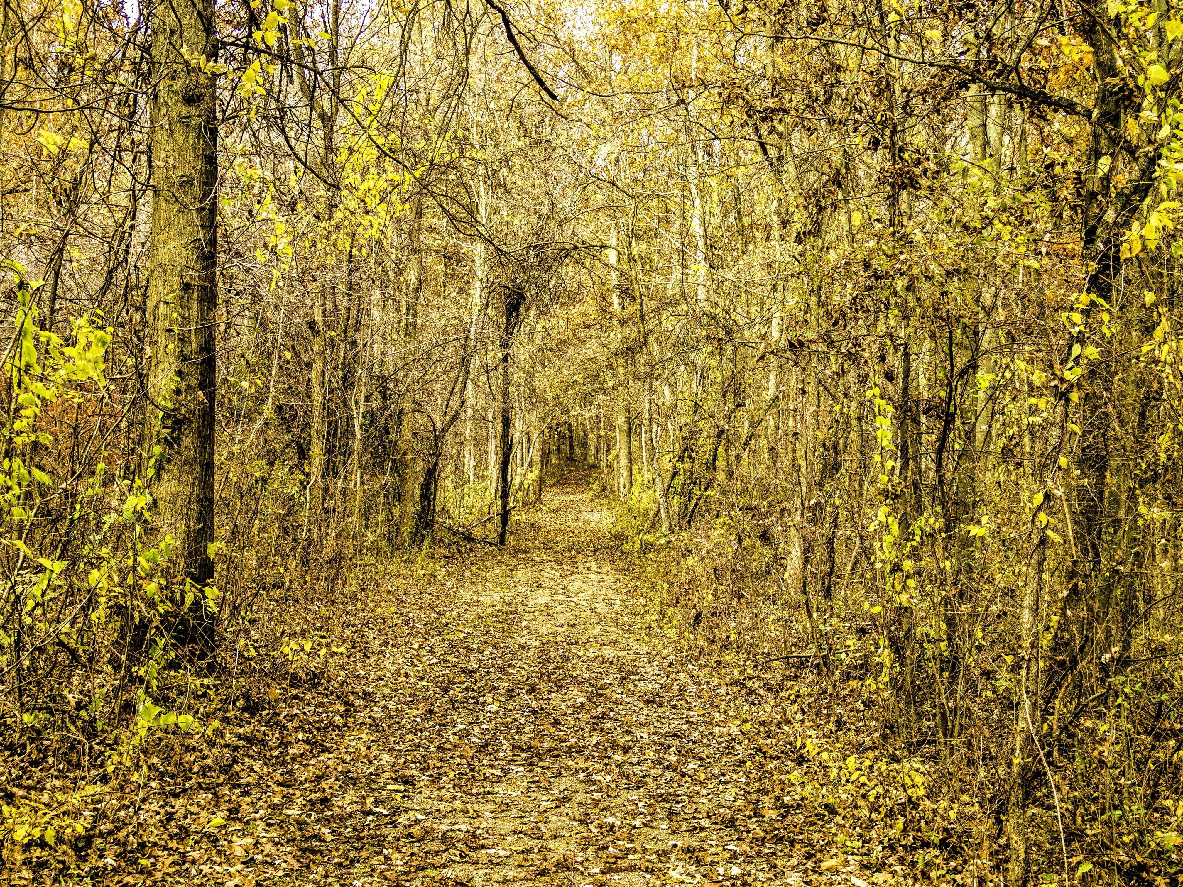
Leaves by the Hundreds Came

Afternoon Farm in Indiana

Merry Lea Farmstead

Gold and Blue

Sky, Sun and Field
Chain O Lakes
Mary's Meadow and Forest
Nature's expanse...
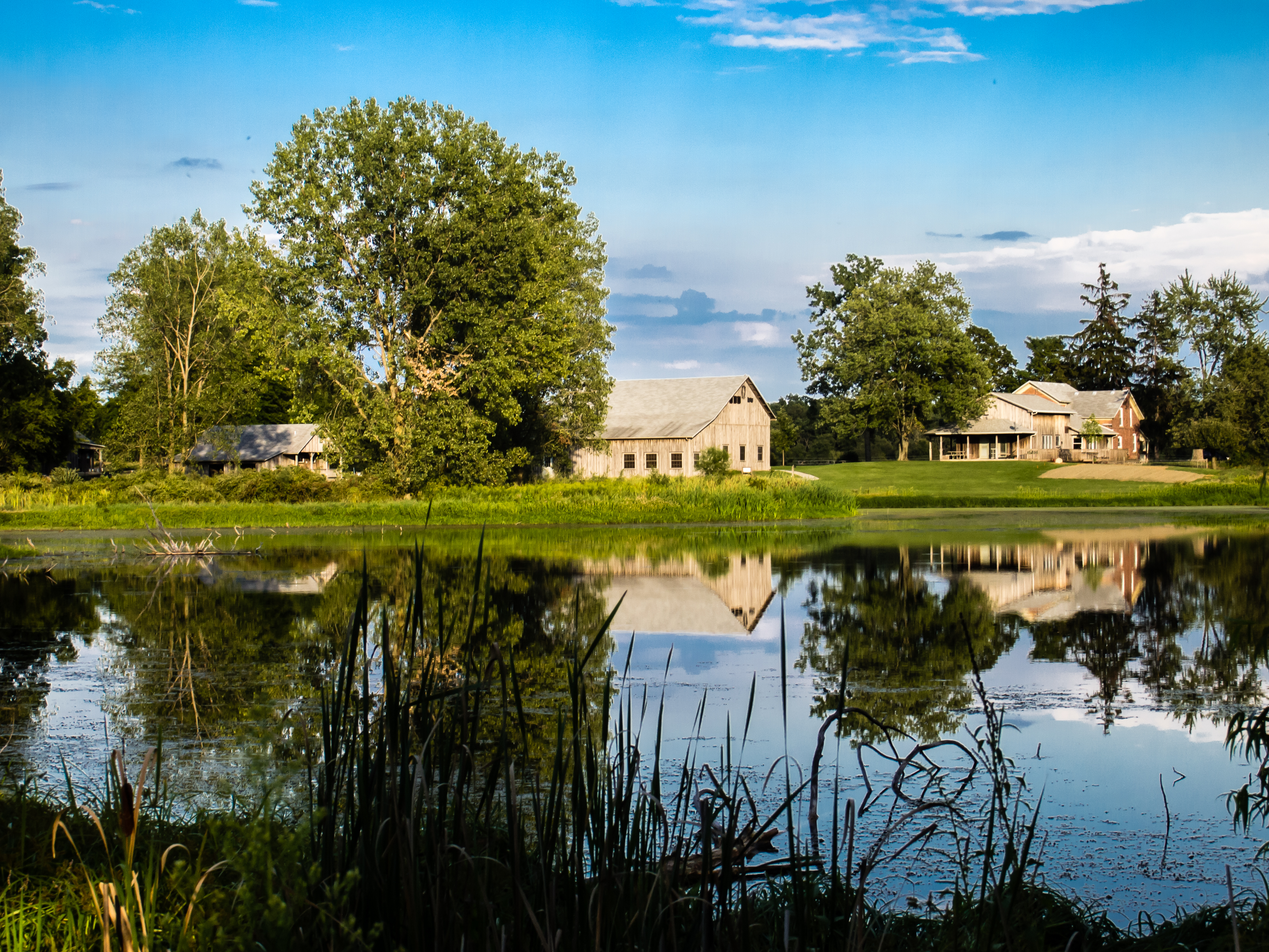
Merry Lea Environmental Center Farmstead
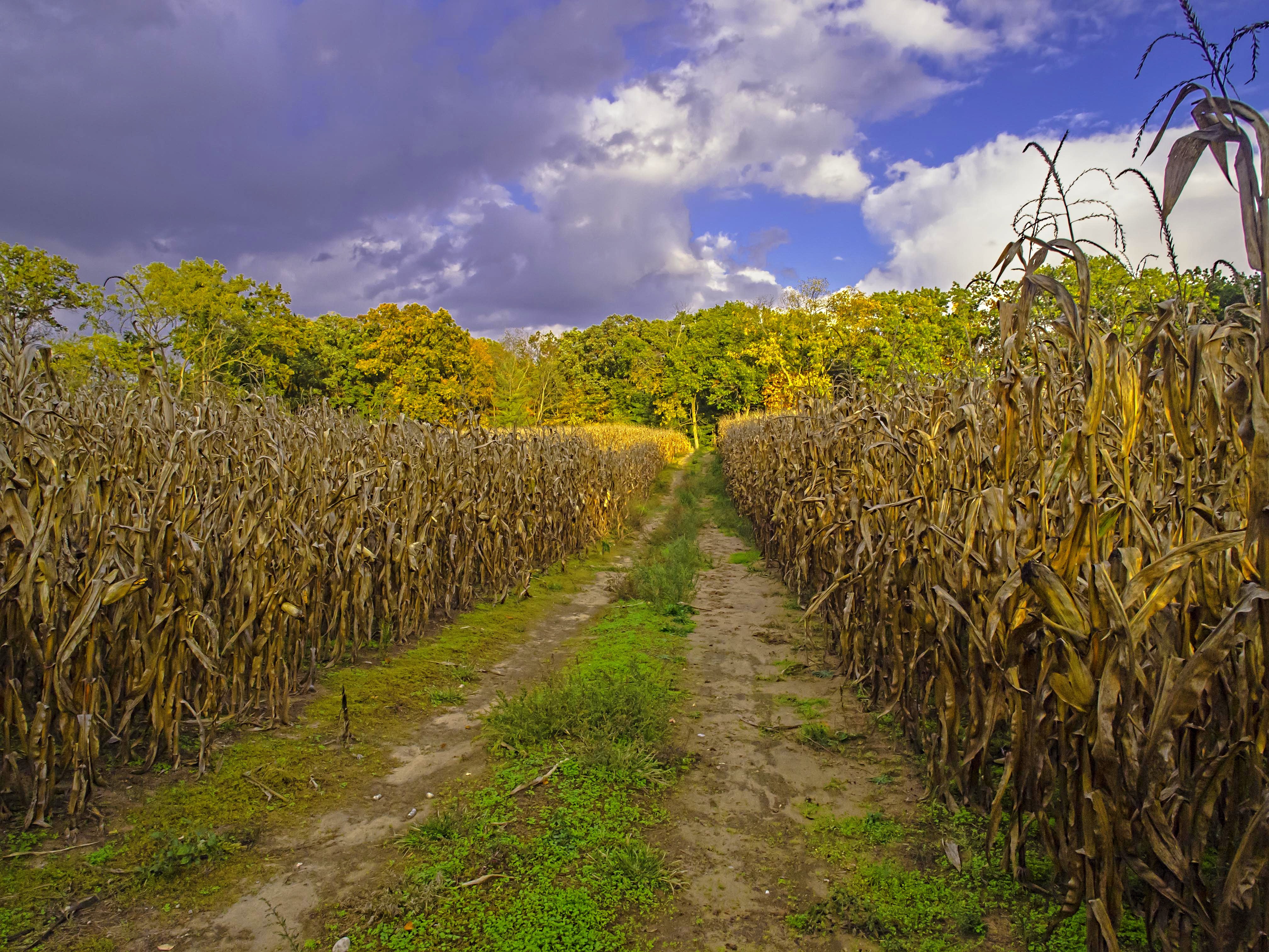
Autumn Harvest
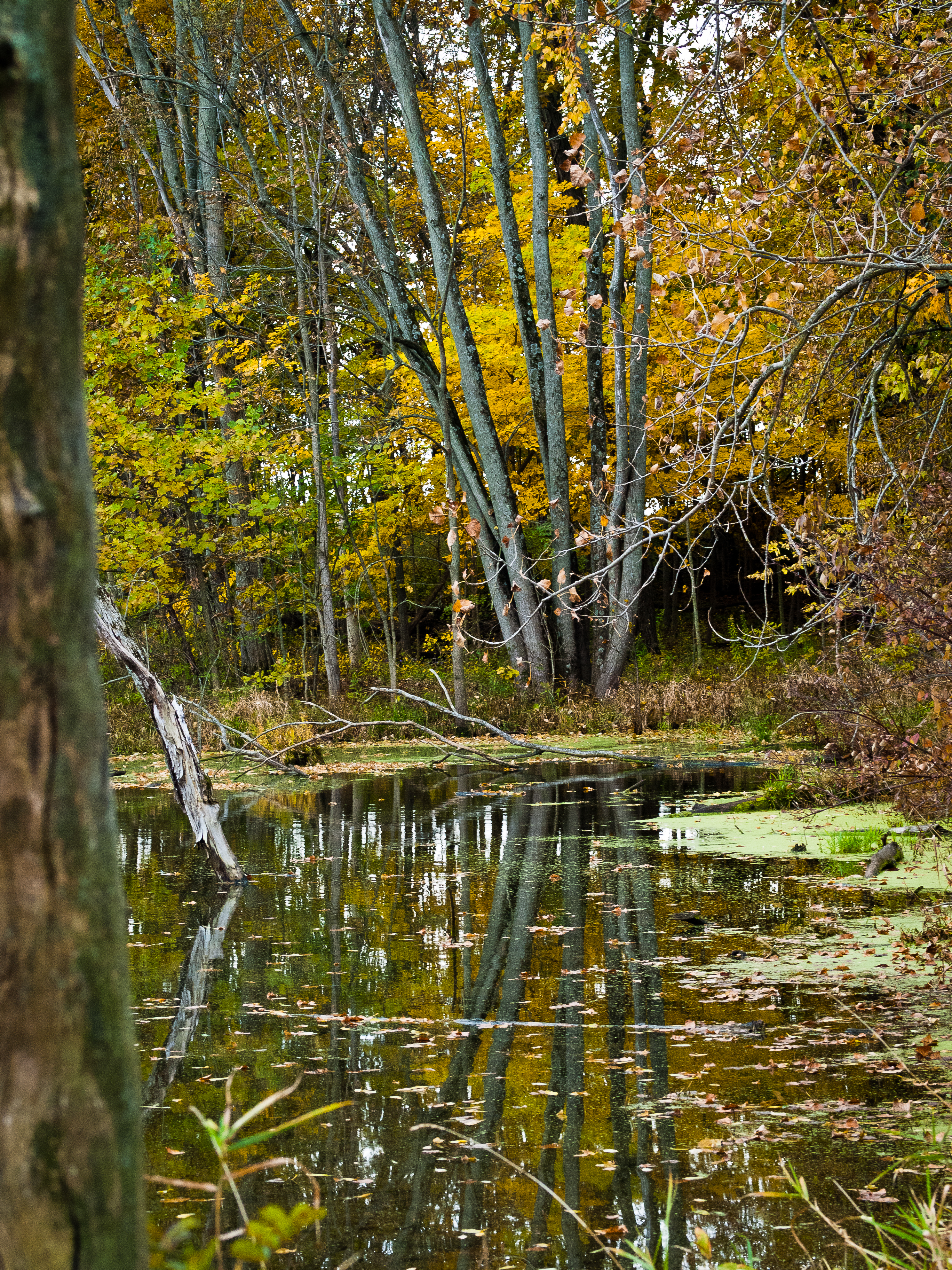
Reflecting...
Topographic Map of US-33, Albion, IN, USA
Find elevation by address:

Places near US-33, Albion, IN, USA:
Noble Township
3828 W Lakeshore Dr-57
W N-92, Columbia City, IN, USA
N Main St, Columbia City, IN, USA
Columbia City
N W, Columbia City, IN, USA
Etna-troy Township
Columbia Township
4380 W 200 S
Richland Township
Larwill
Center St, Larwill, IN, USA
53 EMS B11 Ln, Pierceton, IN, USA
Tippecanoe Township
E South Barbee Dr, Pierceton, IN, USA
N Barbee Rd, Warsaw, IN, USA
Washington Township
Pierceton
N 1st St, Pierceton, IN, USA
26 Ems B40e Ln
Recent Searches:
- Elevation of Rojo Ct, Atascadero, CA, USA
- Elevation of Flagstaff Drive, Flagstaff Dr, North Carolina, USA
- Elevation of Avery Ln, Lakeland, FL, USA
- Elevation of Woolwine, VA, USA
- Elevation of Lumagwas Diversified Farmers Multi-Purpose Cooperative, Lumagwas, Adtuyon, RV32+MH7, Pangantucan, Bukidnon, Philippines
- Elevation of Homestead Ridge, New Braunfels, TX, USA
- Elevation of Orchard Road, Orchard Rd, Marlborough, NY, USA
- Elevation of 12 Hutchinson Woods Dr, Fletcher, NC, USA
- Elevation of Holloway Ave, San Francisco, CA, USA
- Elevation of Norfolk, NY, USA