Elevation of US-29, Amherst, VA, USA
Location: United States > Virginia > Amherst County > >
Longitude: -79.018296
Latitude: 37.6105118
Elevation: 211m / 692feet
Barometric Pressure: 99KPa
Elevation Map:
Satellite Map:
Related Photos:
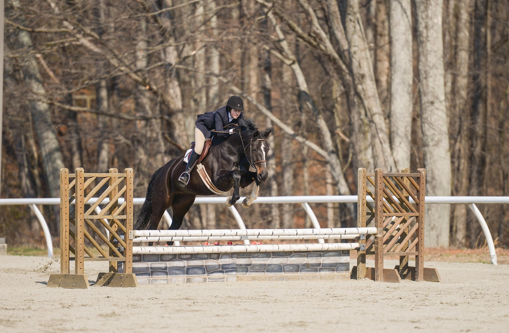
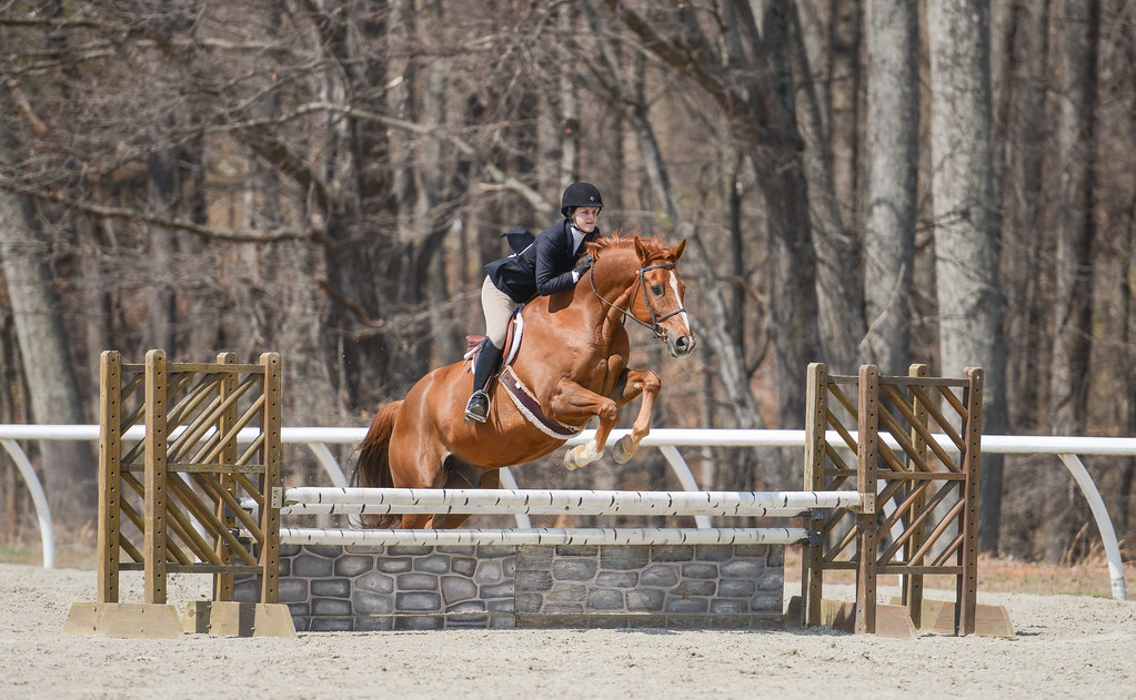
Madeline Coleman - Tina
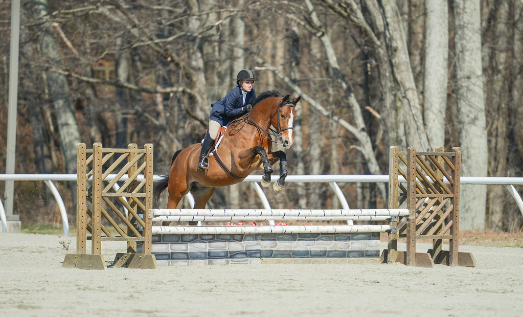
Allison Renzulli – Clean Slate
Allison Renzulli – Clean Slate
View from my Deck

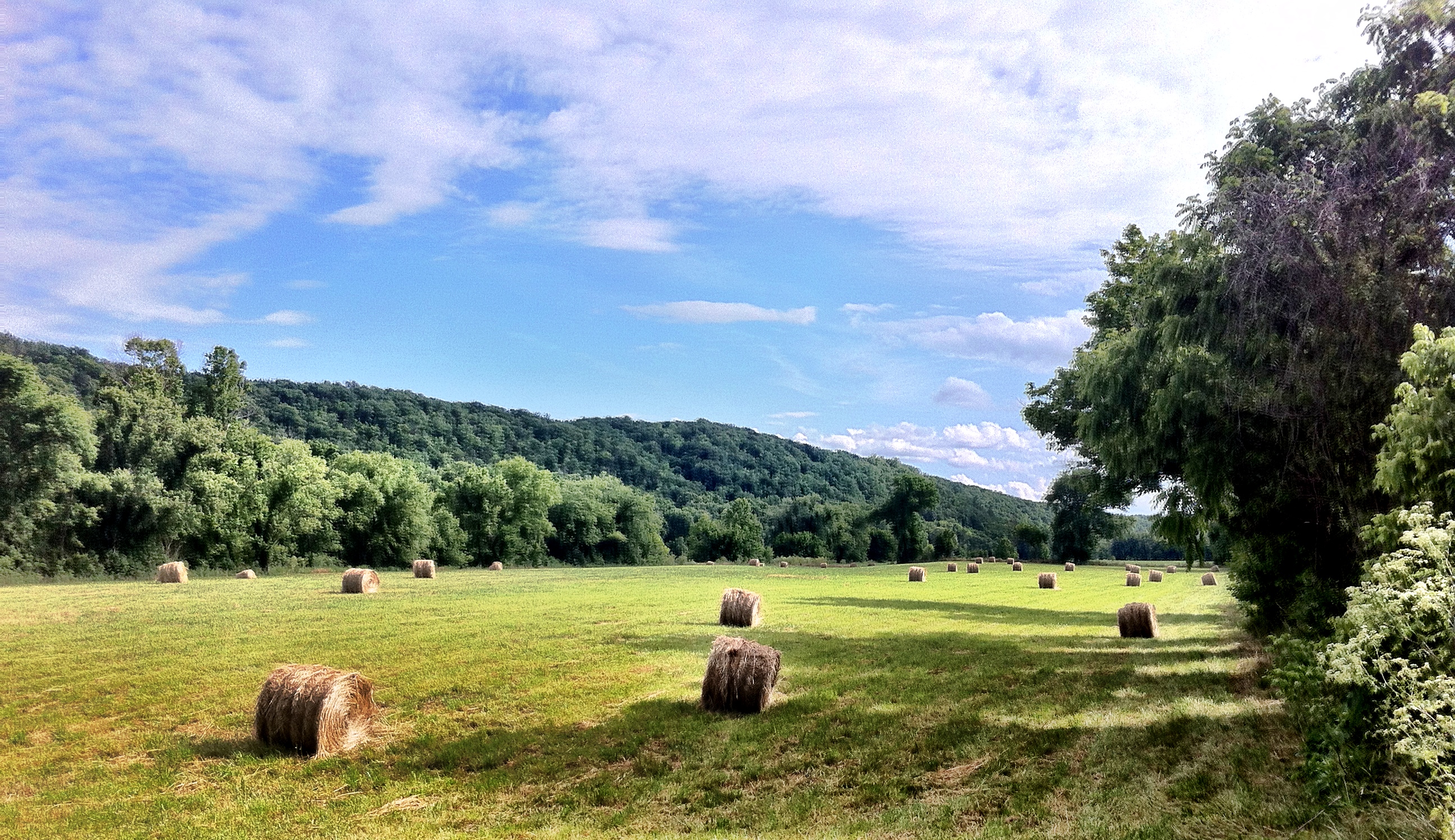
Fall view of the back "yard"

Peephole View of the Reading Room,1959

bloom, spring concept II

The Reading Room, 1933

Peephole View of the Reading Room, circa 1970
View from my Deck
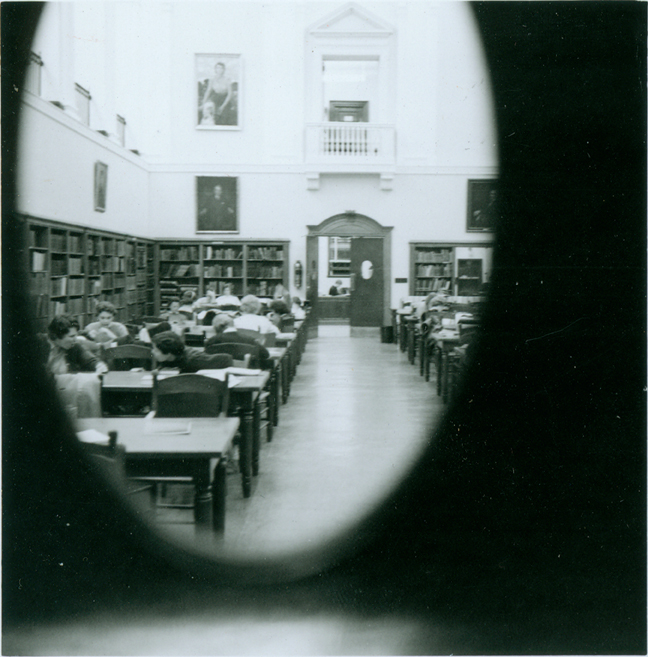
Peephole View of the Reading Room, February 1959
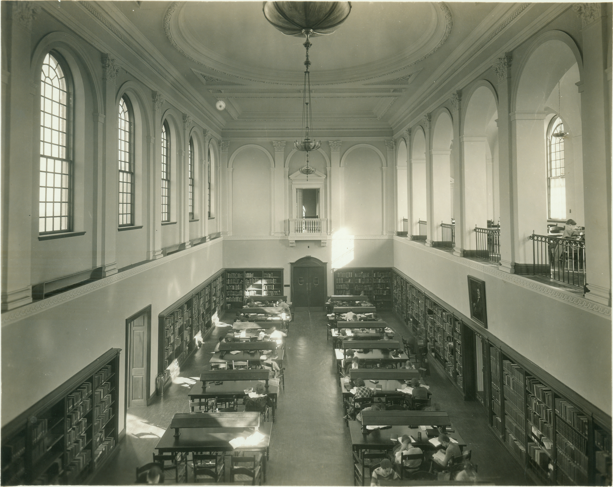
Reading Room -- 1935

Foggy Bottom

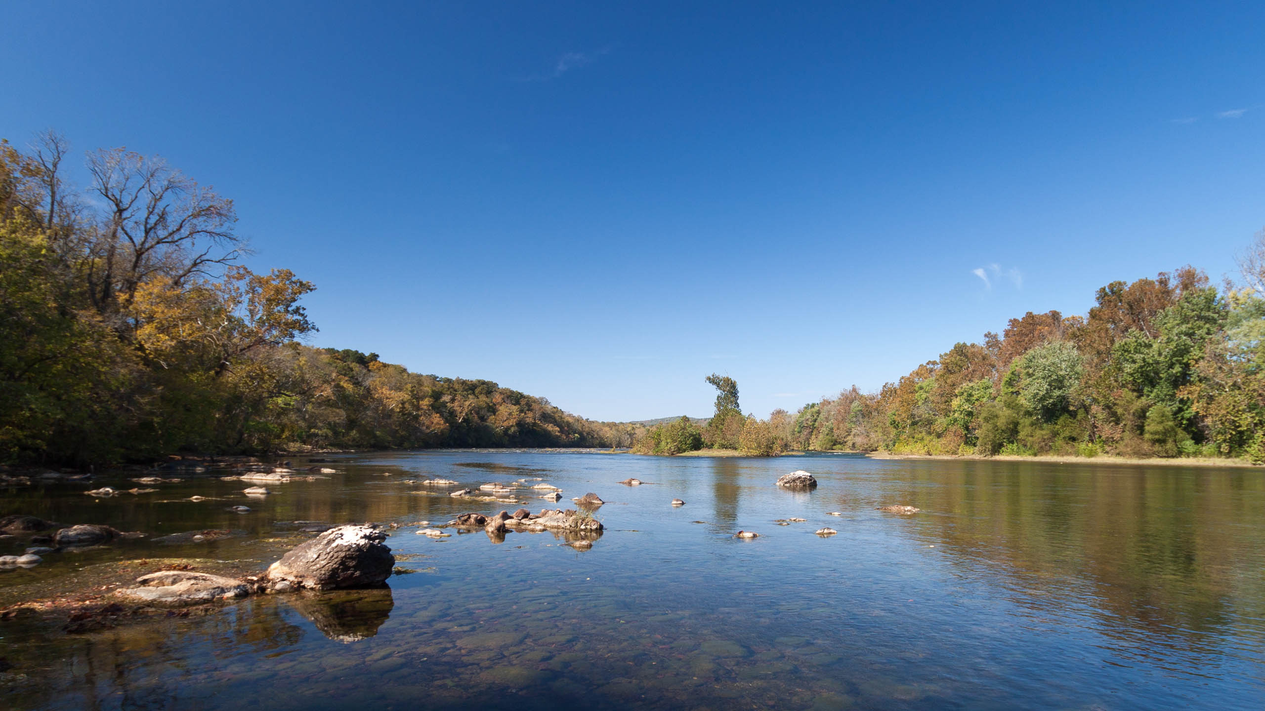
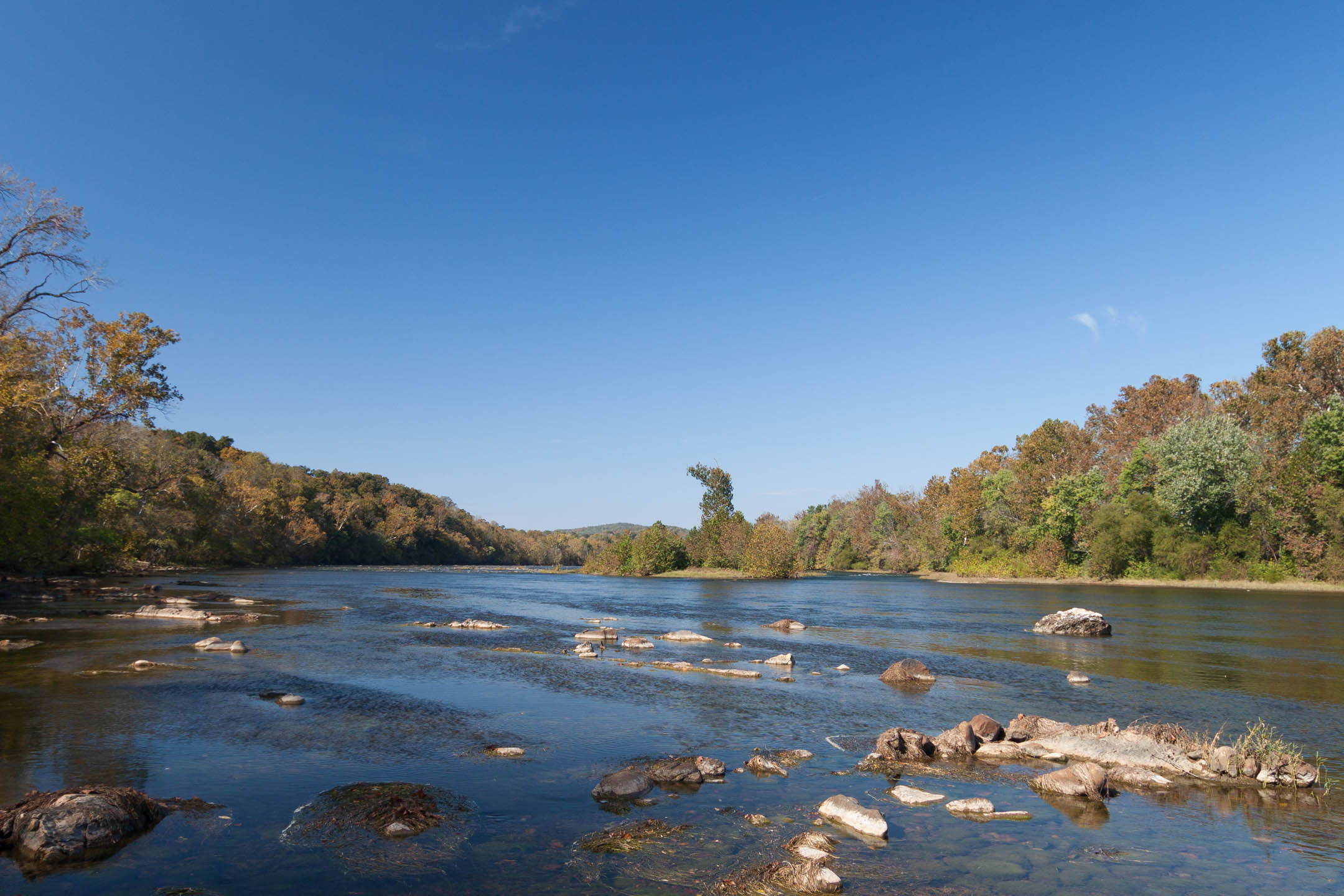
Upstream river view
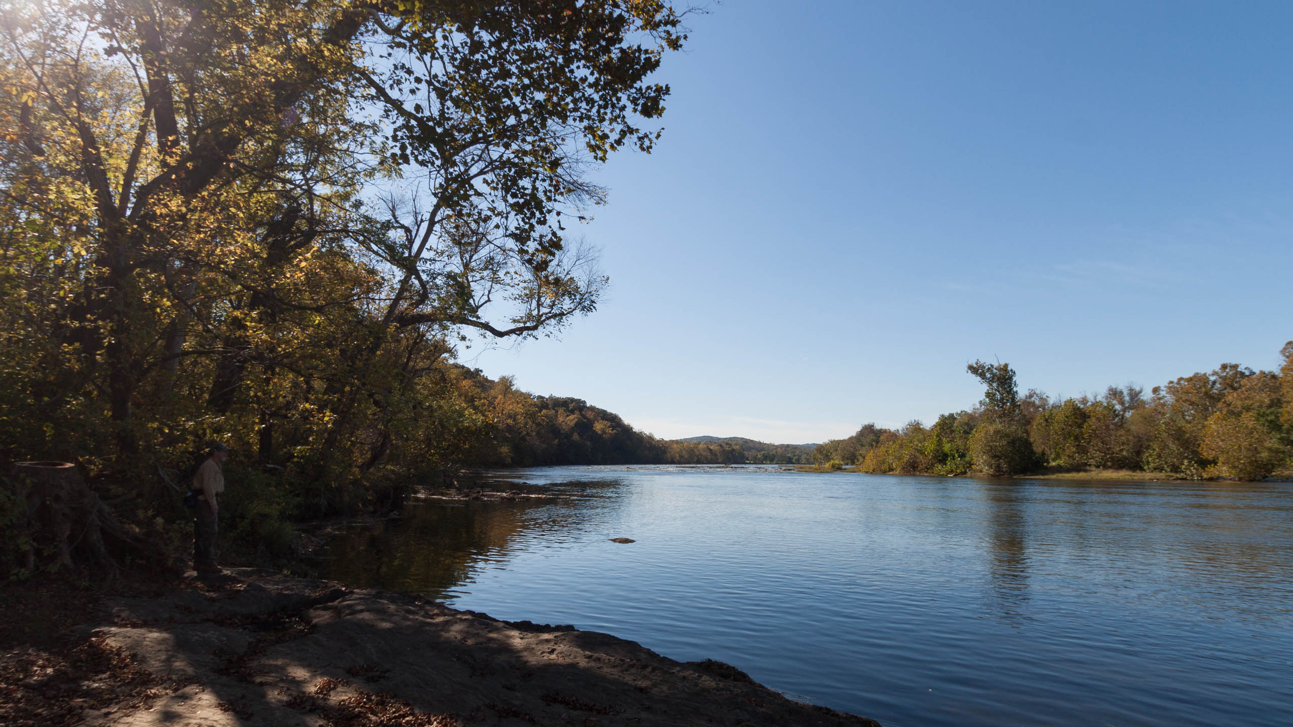
First view of the river
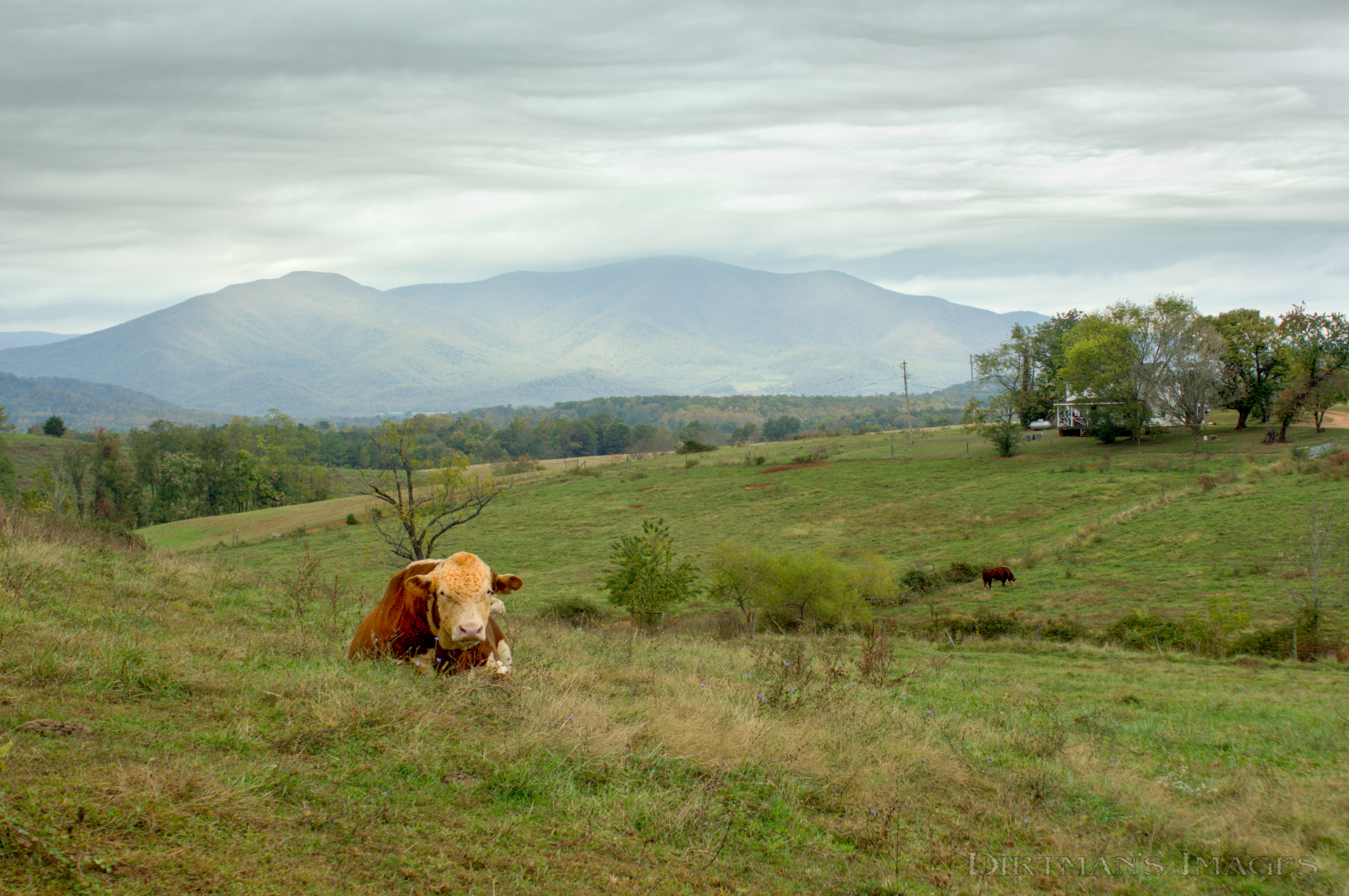
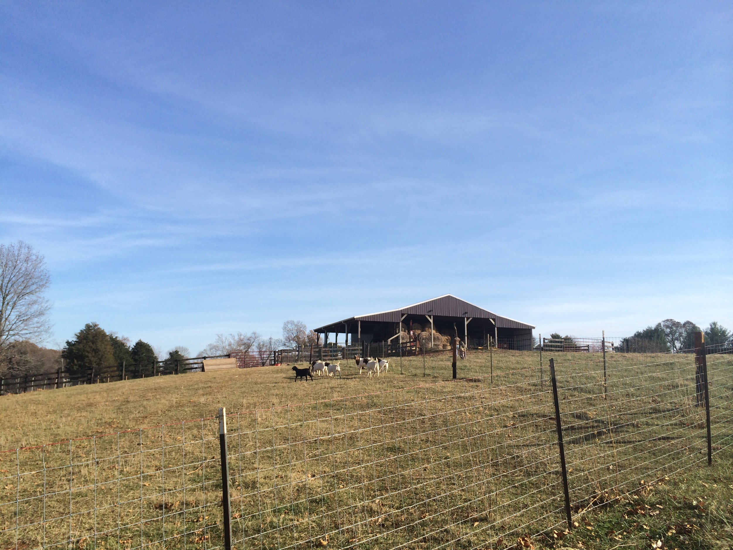
No Bull View
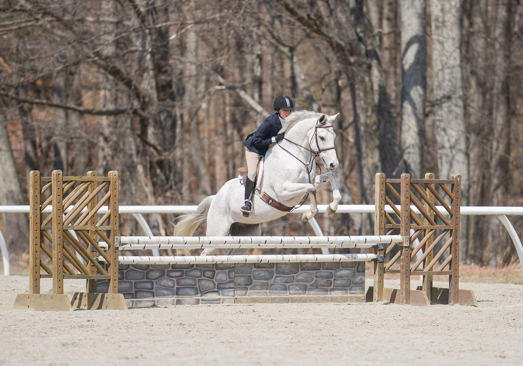
Annabel Voorhees – Mel
Cristina Thomas - Allow Me

Kathleen Drake – Oh So Fine
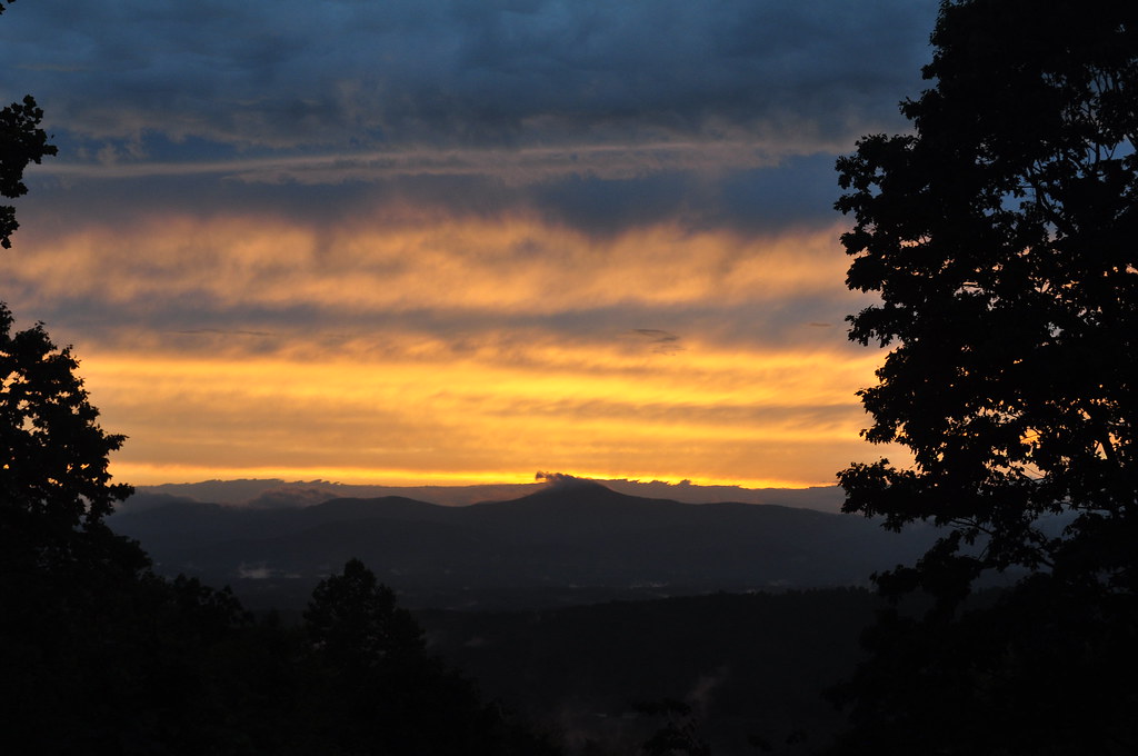
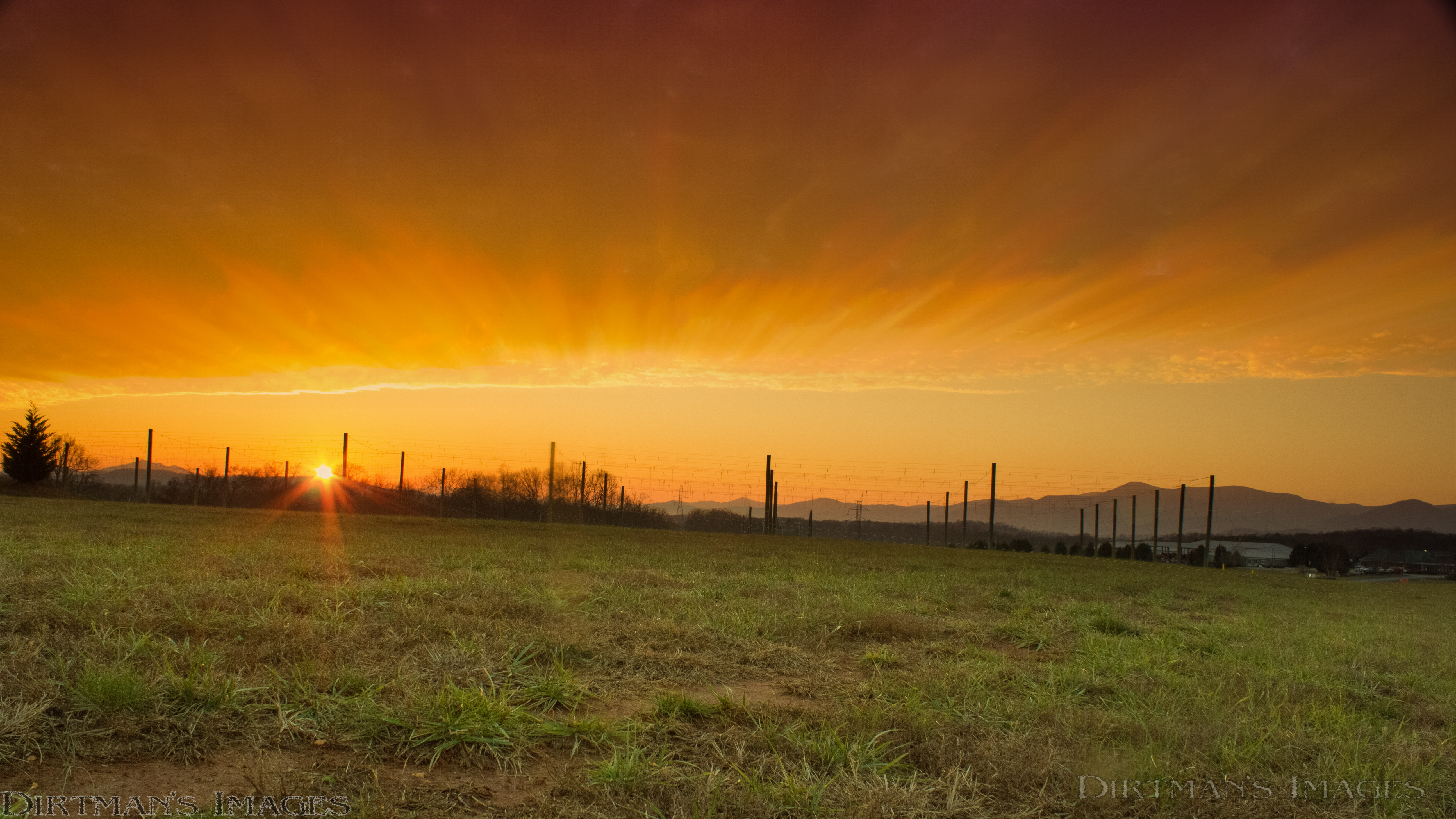
May Sunset
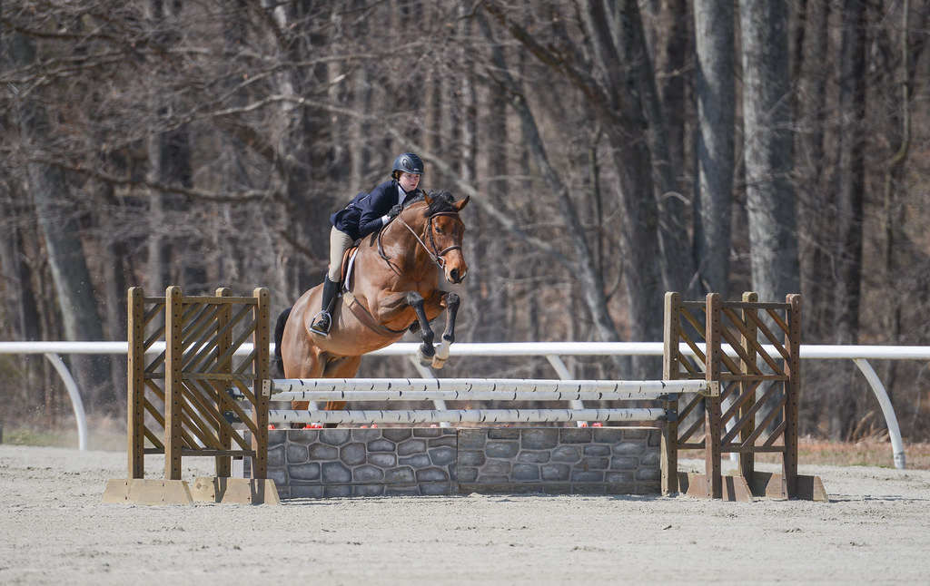
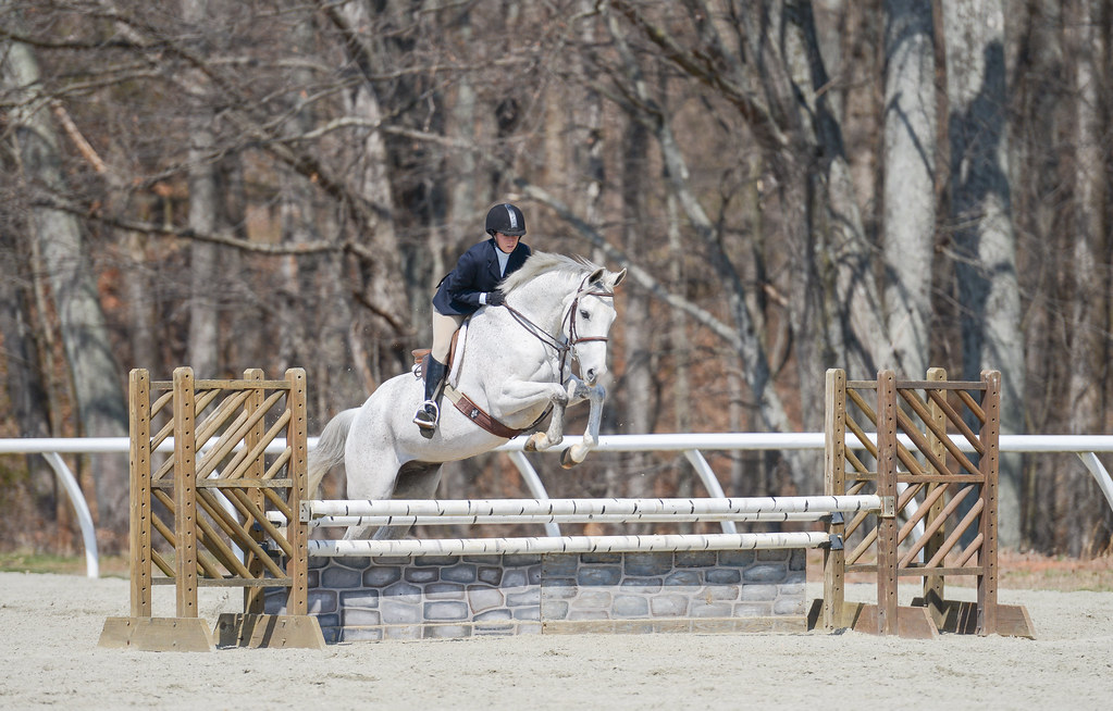
Ali Davidson - Theodore
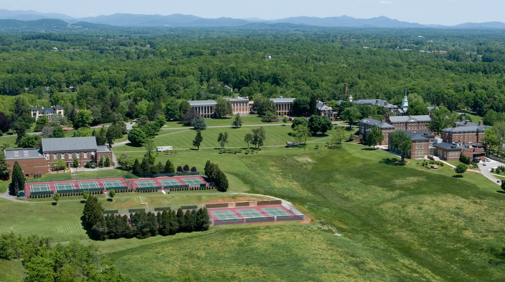
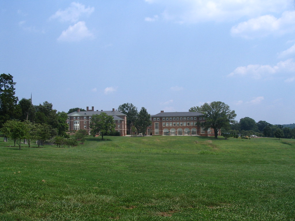
Sweet Briar College
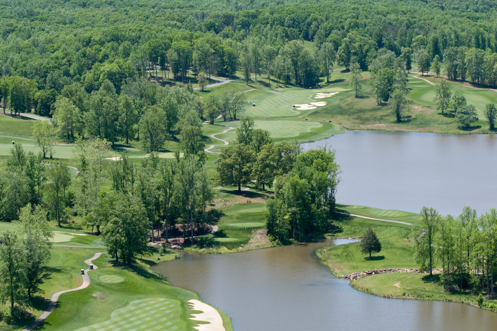
Poplar Grove Golf Course
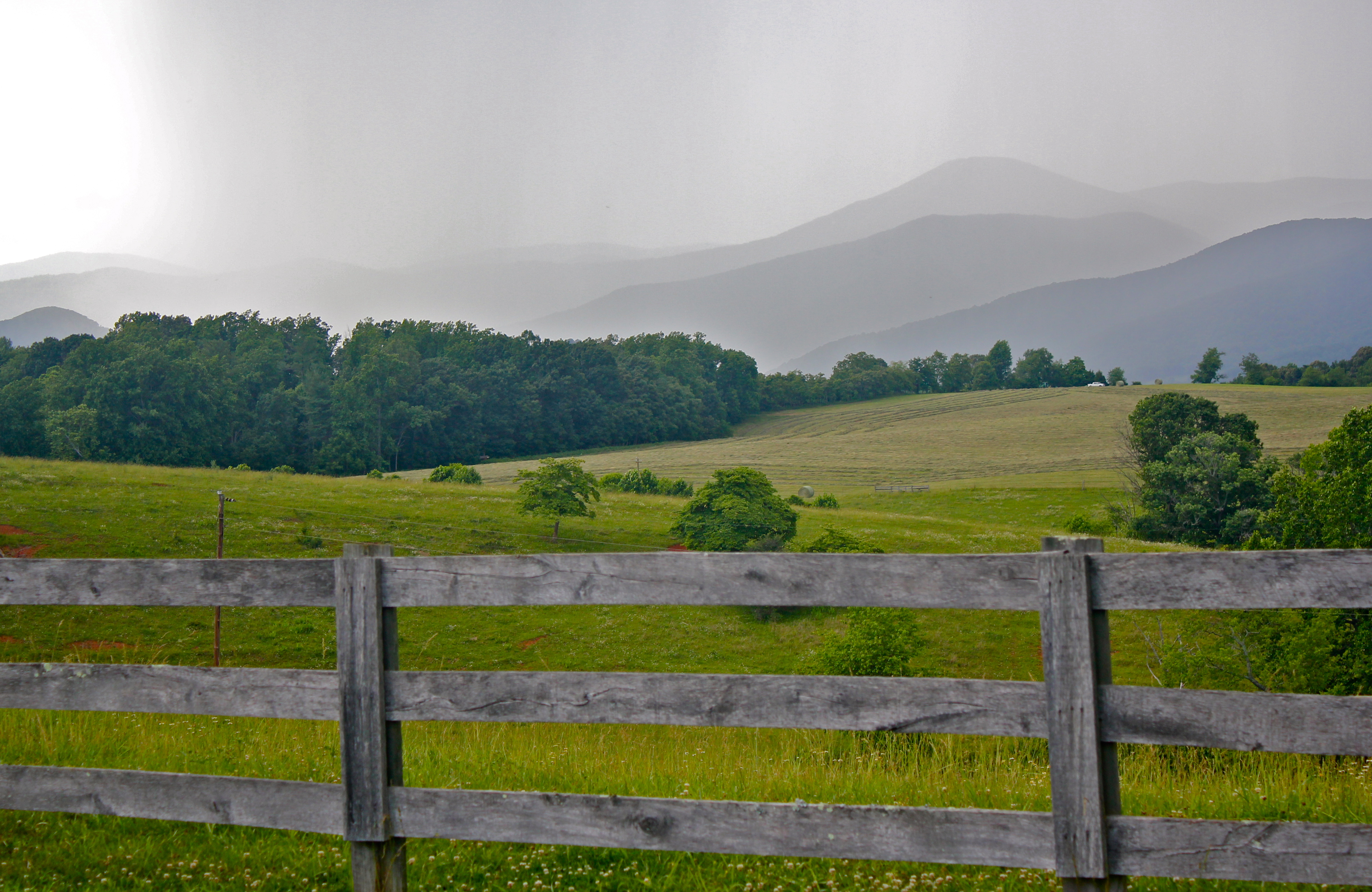
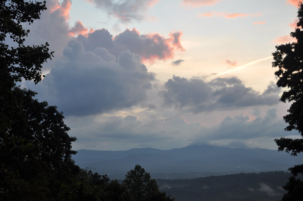
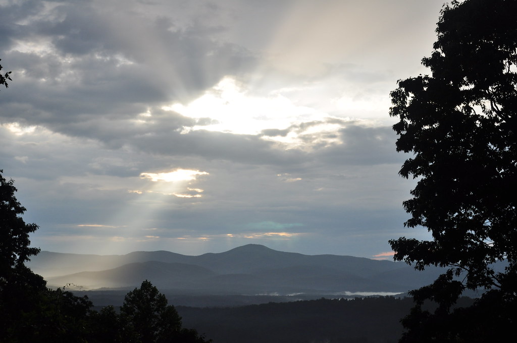
Rain coming in over the Blue Ridge Mountains
R6-045-21
Funky rocks
Muddy Lake

Creative Writing Hike
Trees for forest, forest for trees

On fall foliage assignment. Crabtree Falls > The Priest > Spy Rock 17.3 mile loop on the AT. Sleeping at The Priest ridge tonight #hiregfp #photographer #editorial #fall #virginia #hiker #appalachiantrail #at #lowepro #photosport #30L
Camera Roll-639
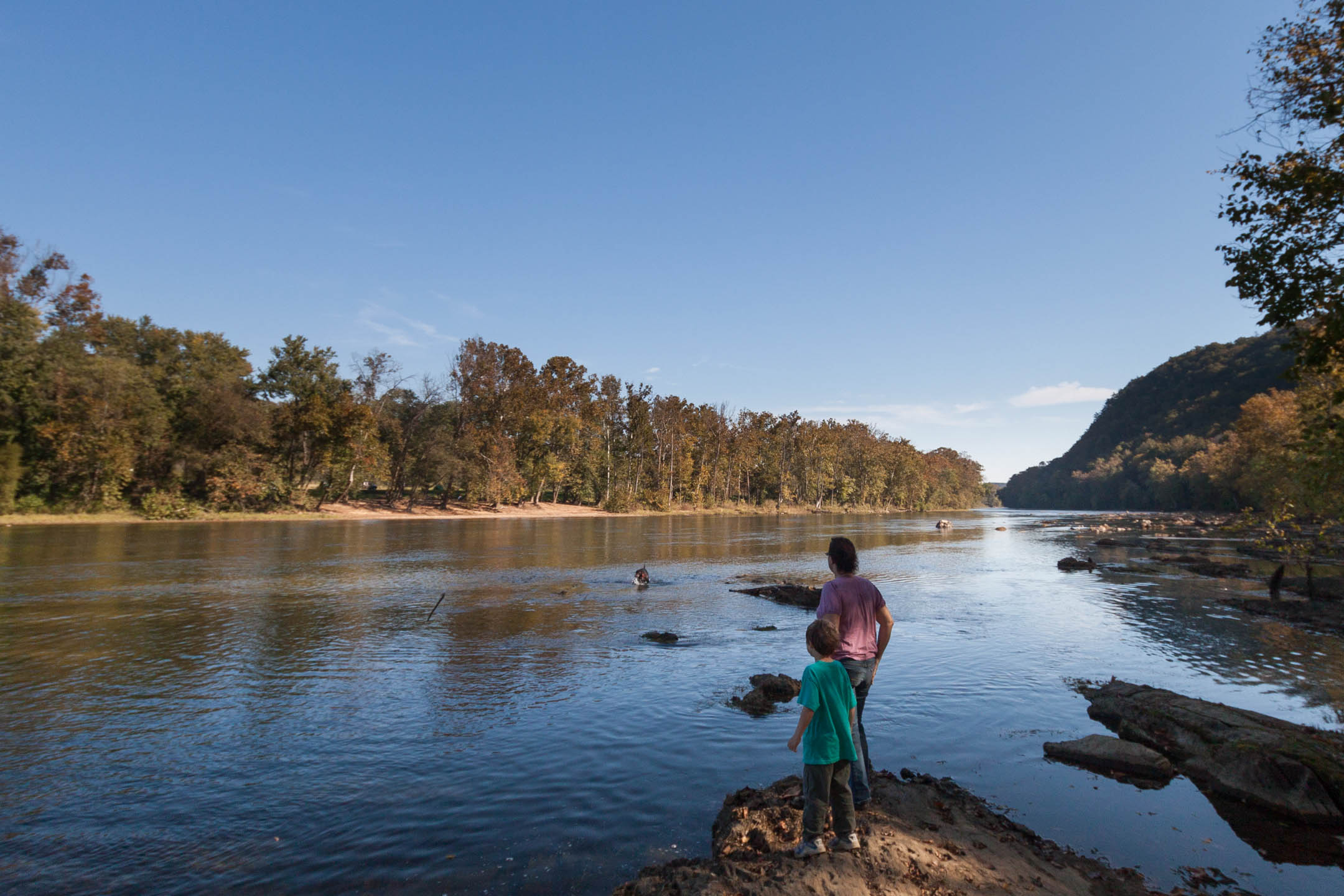
Down the river
Camera Roll-640
Sam goes fishing

Camera Roll-633
Barrel House Burn
Clean Cut
SBC 7
Sweet Briar Women's College - from the greens
Down the river
Topographic Map of US-29, Amherst, VA, USA
Find elevation by address:

Places near US-29, Amherst, VA, USA:
3 Dogwood St
Amherst
S Main St, Amherst, VA, USA
215 Garland Ave
Lexington Turnpike
170 Foxfield Run
Sweet Briar College
1, VA, USA
304 Covey Rd
187 Cabin Rd
454 Hayshed Rd
State Rte, Madison Heights, VA, USA
2554 Stapleton Rd
4, VA, USA
505 Wesley Dr
505 Wesley Dr
581 Tin Top Pl
Gladstone
Norwood Road
445 Abbitt Branch Rd
Recent Searches:
- Elevation of Luther Road, Luther Rd, Auburn, CA, USA
- Elevation of Unnamed Road, Respublika Severnaya Osetiya — Alaniya, Russia
- Elevation of Verkhny Fiagdon, North Ossetia–Alania Republic, Russia
- Elevation of F. Viola Hiway, San Rafael, Bulacan, Philippines
- Elevation of Herbage Dr, Gulfport, MS, USA
- Elevation of Lilac Cir, Haldimand, ON N3W 2G9, Canada
- Elevation of Harrod Branch Road, Harrod Branch Rd, Kentucky, USA
- Elevation of Wyndham Grand Barbados Sam Lords Castle All Inclusive Resort, End of Belair Road, Long Bay, Bridgetown Barbados
- Elevation of Iga Trl, Maggie Valley, NC, USA
- Elevation of N Co Rd 31D, Loveland, CO, USA