Elevation of US-17, Arcadia, FL, USA
Location: United States > Florida > Desoto County > Arcadia >
Longitude: -81.878331
Latitude: 27.1678859
Elevation: 6m / 20feet
Barometric Pressure: 101KPa
Elevation Map:
Satellite Map:
Related Photos:
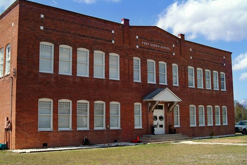
Fort Ogden School in the Ghost Town of Fort Ogden

Cowboy Bart

Enchanted Forest
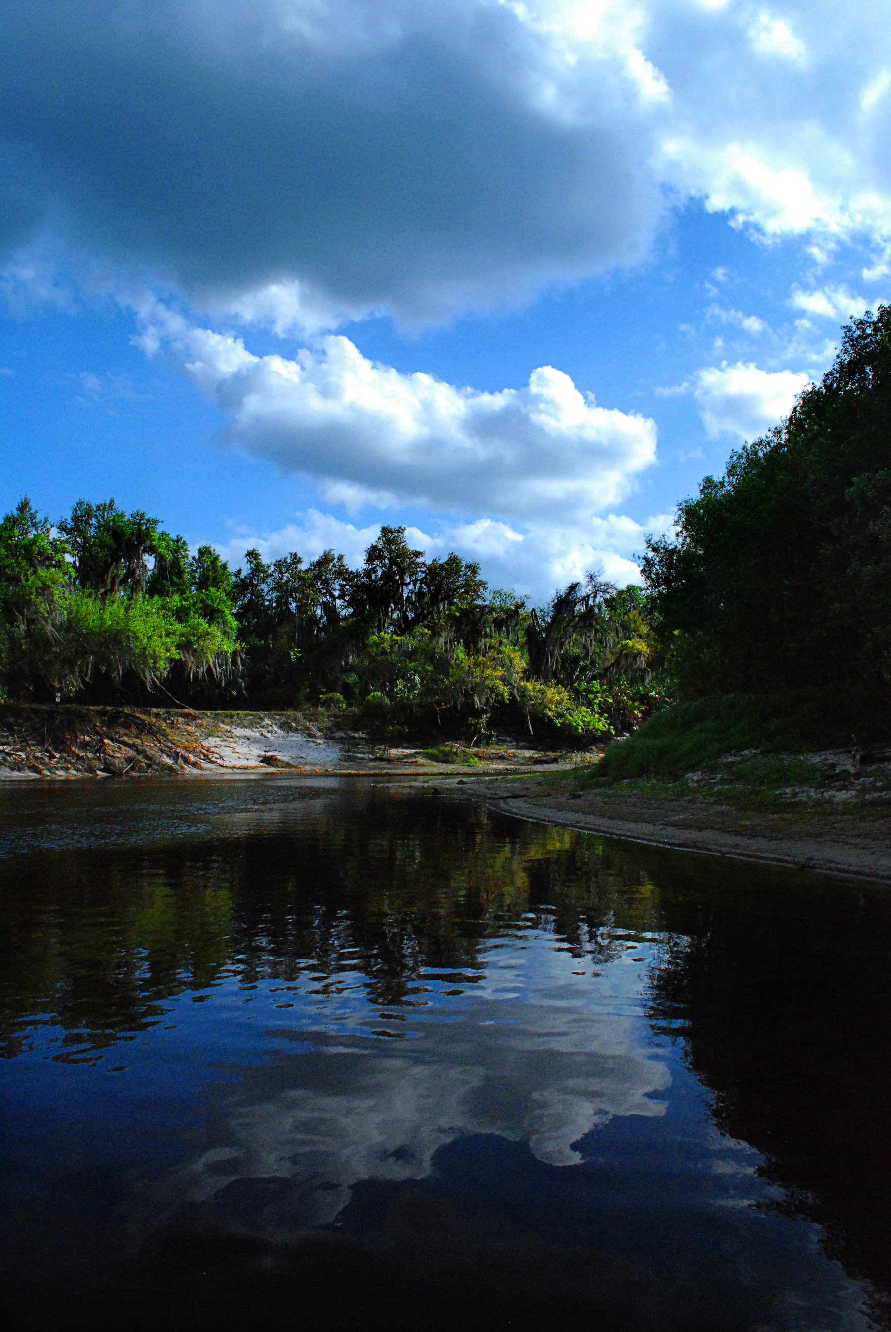
Peace River in March
peace river 2

#photo #tagged to Team #airboataddicts by and go #follow @boggy_creek_airboat_rides What a #sunset via the #airboat #blowboat in #kissimmee #kissimmeechainoflakes to get #outdoors to #ridetoslide to go #aiboatin #nature #wildlife to live this #airboatlife
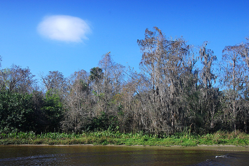
Peace River Landscape, Florida
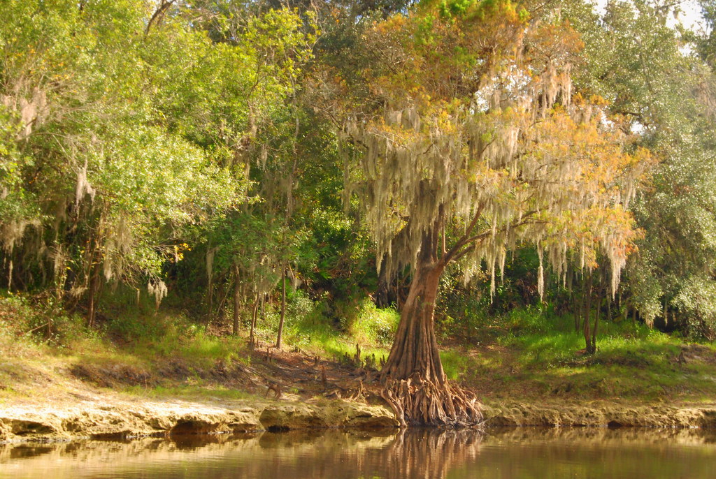
Peace River Landscape, Florida

Florida Orange Grove (DeSoto County, Florida)

Florida Orange Grove (DeSoto County, Florida)

On Volusia Avenue, Arcadia, FL
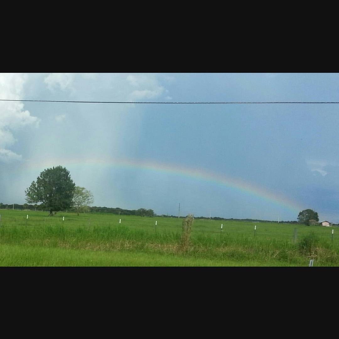
???? ???? #rainbow
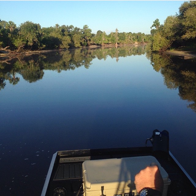
#photo #tagged to us by and go #follow this #girlofthemarsh @kayla_whittt the #peaceriver #desotocounty #nocatee #fl #arcadia to go #airboatin #airboating to #ride2slide #ridetoslide already #addicted to this #airboatlife #lakelife #riverlife with Teams #
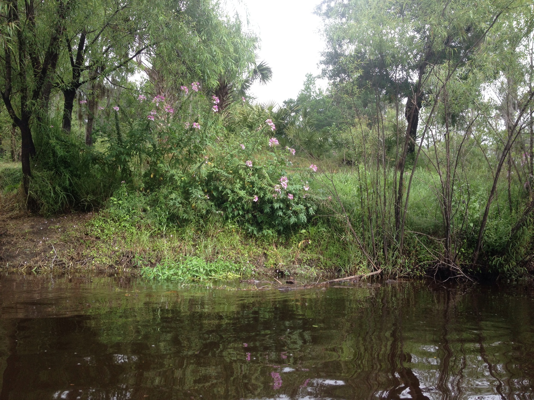
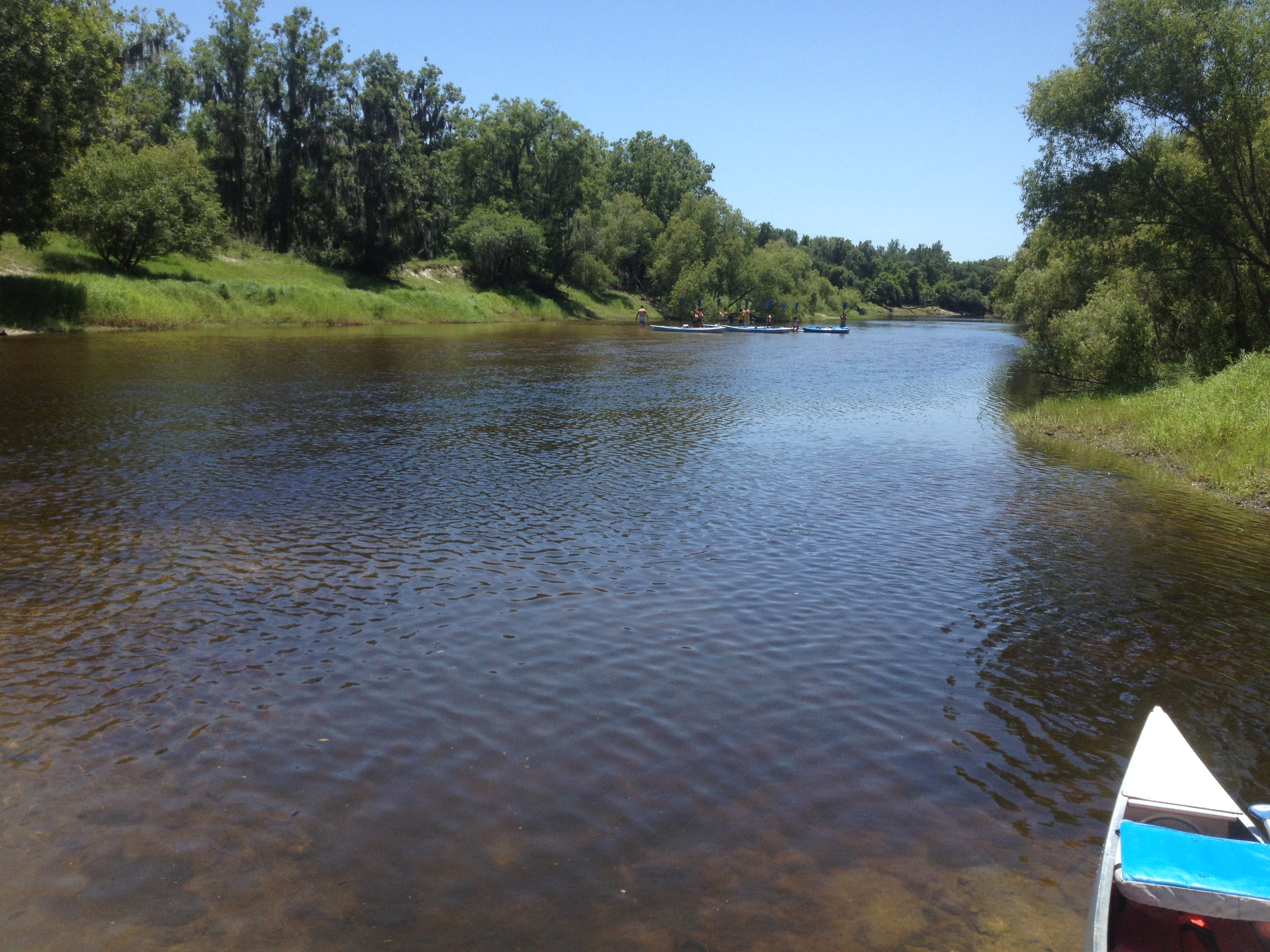
Canoe Trip Mar 2014
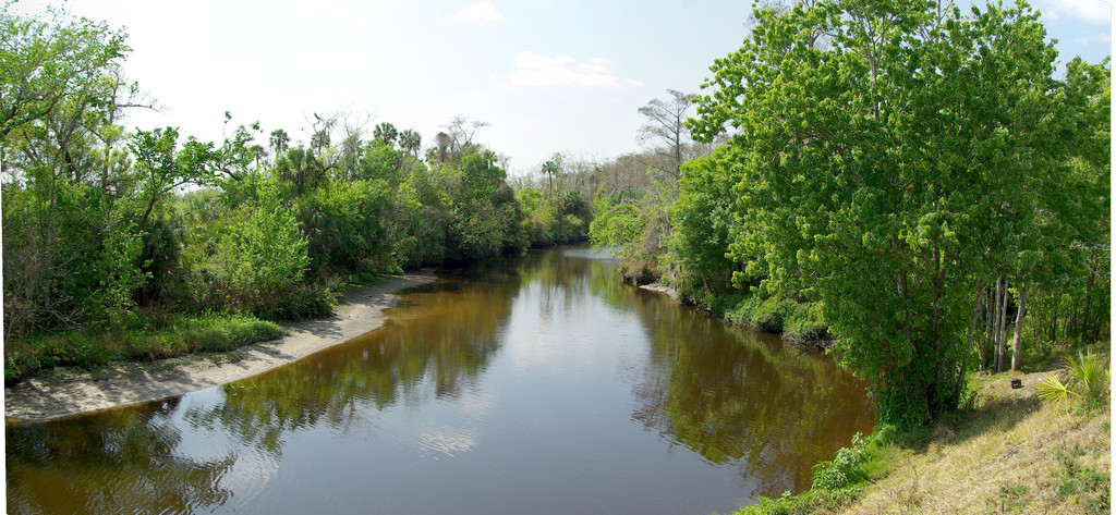
Peace River
Topographic Map of US-17, Arcadia, FL, USA
Find elevation by address:

Places near US-17, Arcadia, FL, USA:
1847 S W Fletcher St
3491 Sw 8th Ave
Southwest Highway 17, Arcadia, FL, USA
South West Fletcher Street
2145 Reynolds St
Southeast Arcadia
2845 Southeast Airport Road
1401 Sw M.l.k. Jr St
2279 Se Reynolds St
22 S Watson Ave
143 S Pasco Ave
125 S Robert Ave
2 W Oak St
Arcadia
2347 Fl-70
FL-31, Arcadia, FL, USA
First State Bank Of Arcadia Drive Thru
416 N Volusia Ave
5692 Co Rd 763
Environmental Learning Center
Recent Searches:
- Elevation of Steadfast Ct, Daphne, AL, USA
- Elevation of Lagasgasan, X+CQH, Tiaong, Quezon, Philippines
- Elevation of Rojo Ct, Atascadero, CA, USA
- Elevation of Flagstaff Drive, Flagstaff Dr, North Carolina, USA
- Elevation of Avery Ln, Lakeland, FL, USA
- Elevation of Woolwine, VA, USA
- Elevation of Lumagwas Diversified Farmers Multi-Purpose Cooperative, Lumagwas, Adtuyon, RV32+MH7, Pangantucan, Bukidnon, Philippines
- Elevation of Homestead Ridge, New Braunfels, TX, USA
- Elevation of Orchard Road, Orchard Rd, Marlborough, NY, USA
- Elevation of 12 Hutchinson Woods Dr, Fletcher, NC, USA