Elevation of US-17 ALT, Bonneau, SC, USA
Location: United States > South Carolina > Berkeley County > Bonneau >
Longitude: -79.898576
Latitude: 33.27016
Elevation: 9m / 30feet
Barometric Pressure: 101KPa
Elevation Map:
Satellite Map:
Related Photos:

LCS Sweeping

LCS Dockside
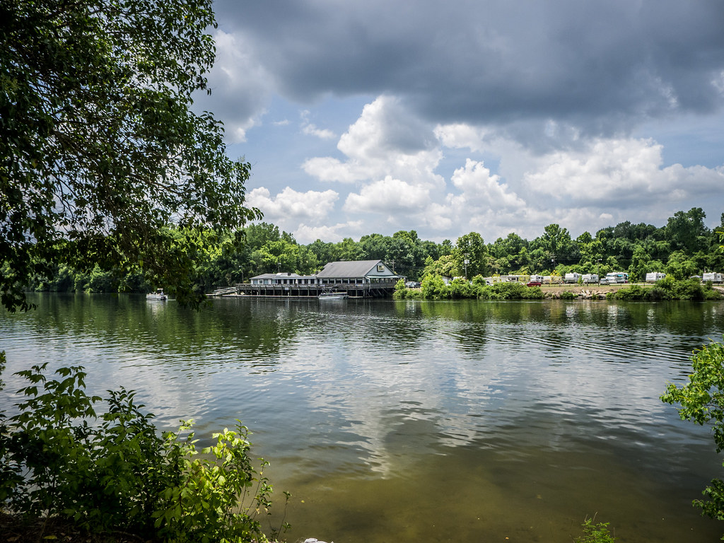
LCS Lake Moultrie 4

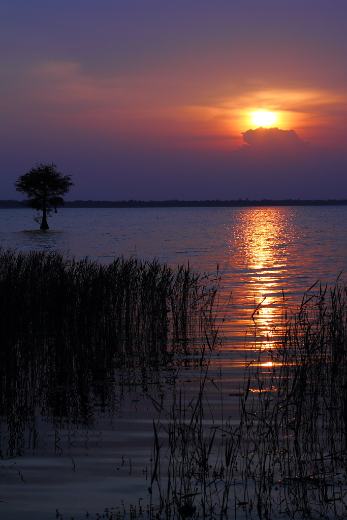
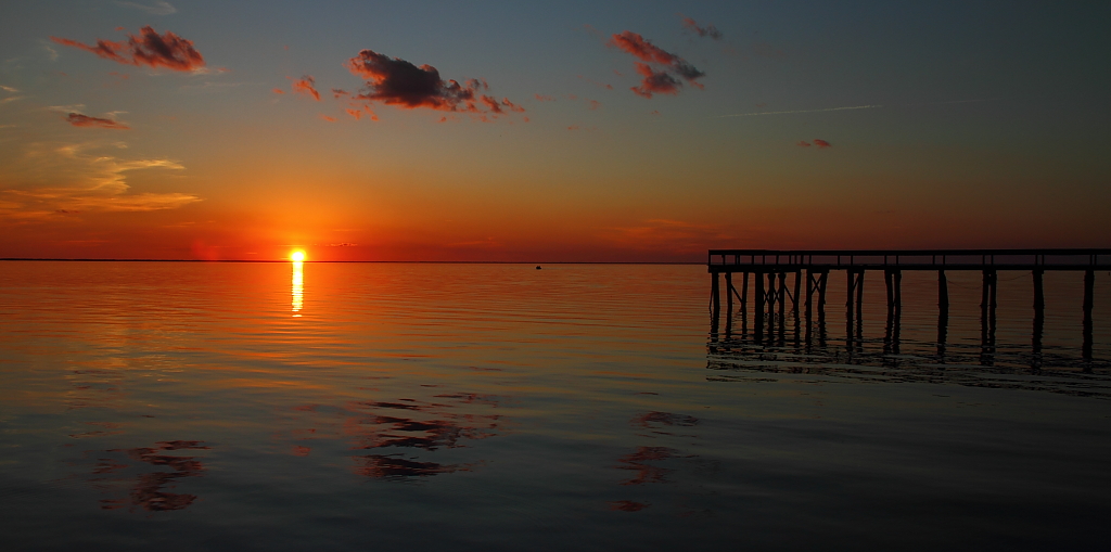
Sunset Reflections

LCS Tentacles
LCS Tungsten Dock

LCS Deep II
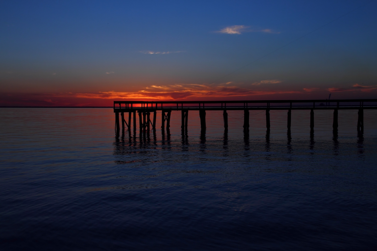
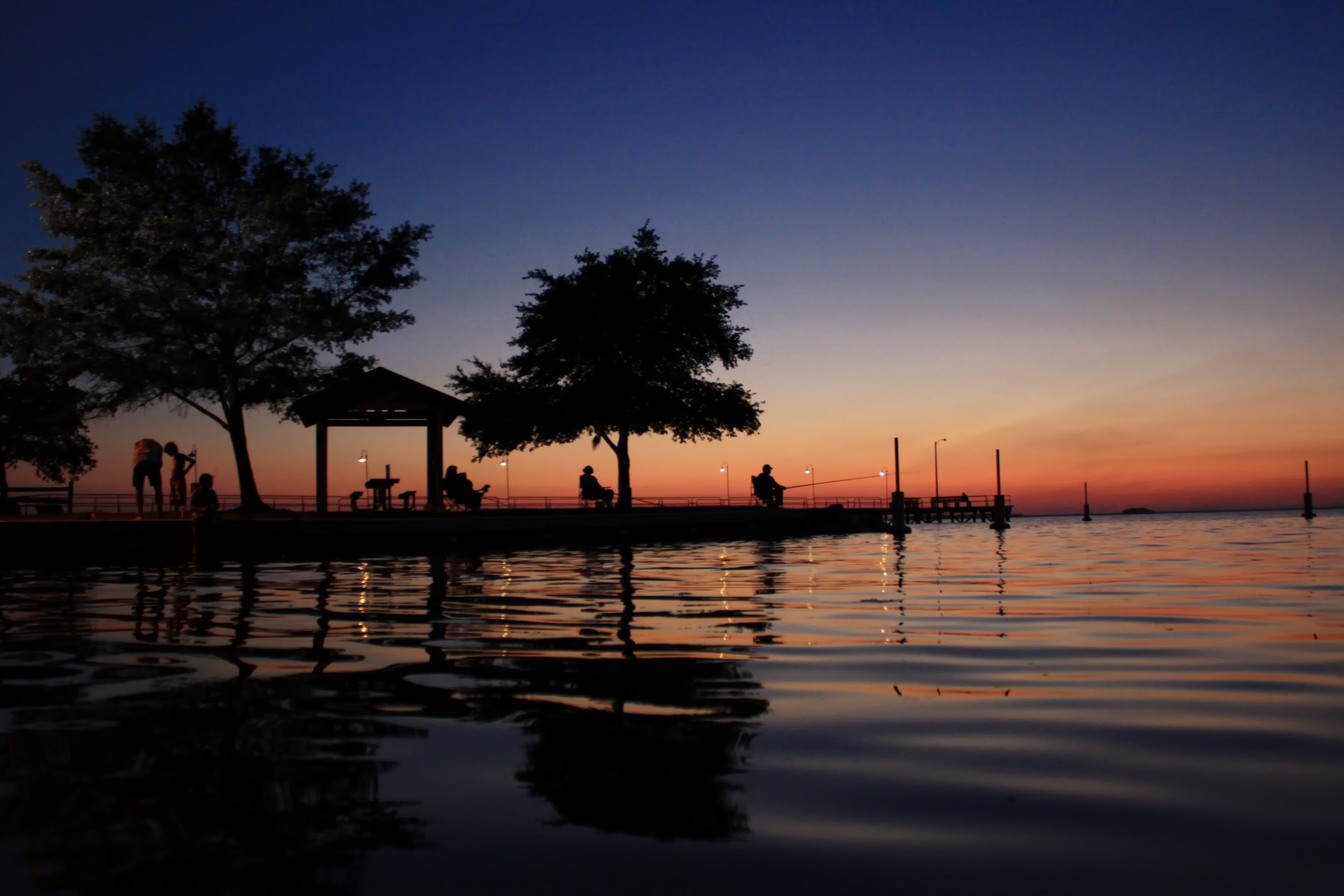
Sunset at Bonneau

Lake Moultrie

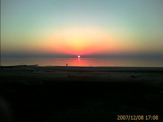
Bonneau Beach

Avena sativa (Oats)
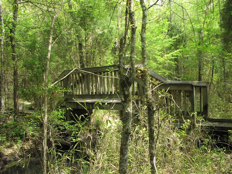
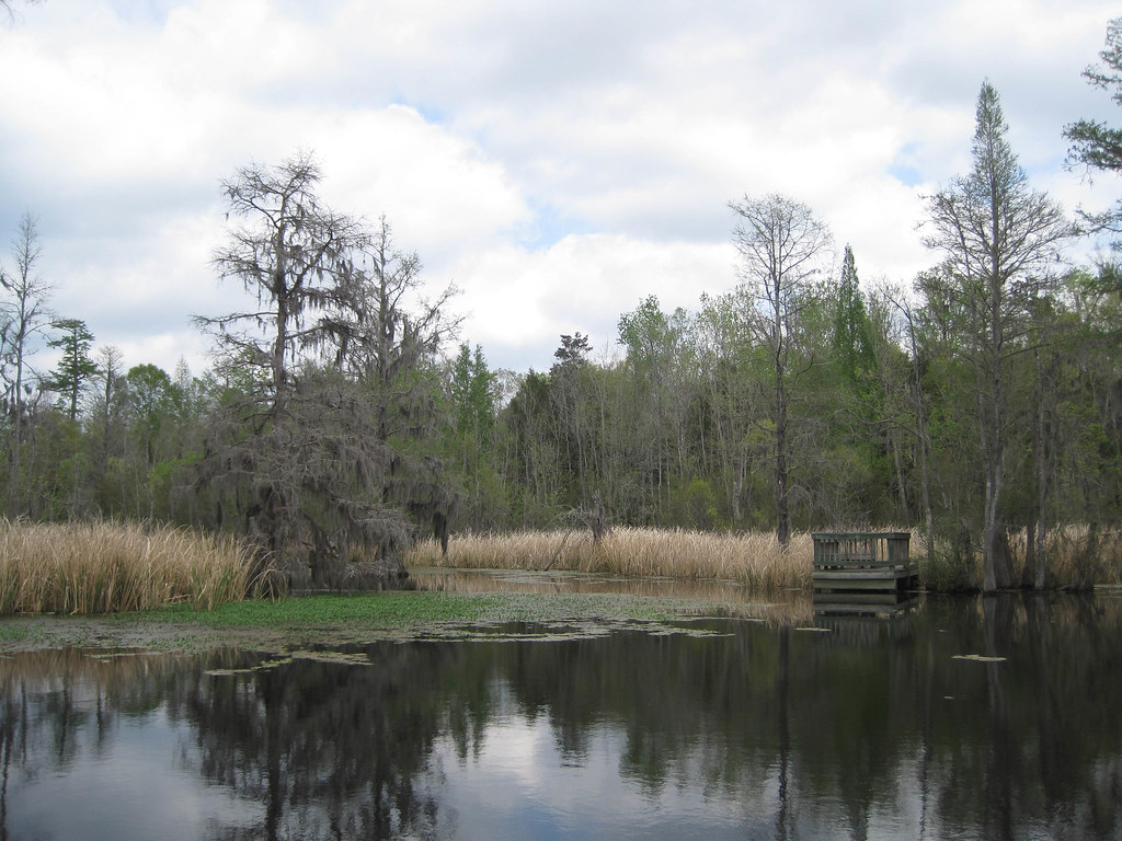
Nature Trail
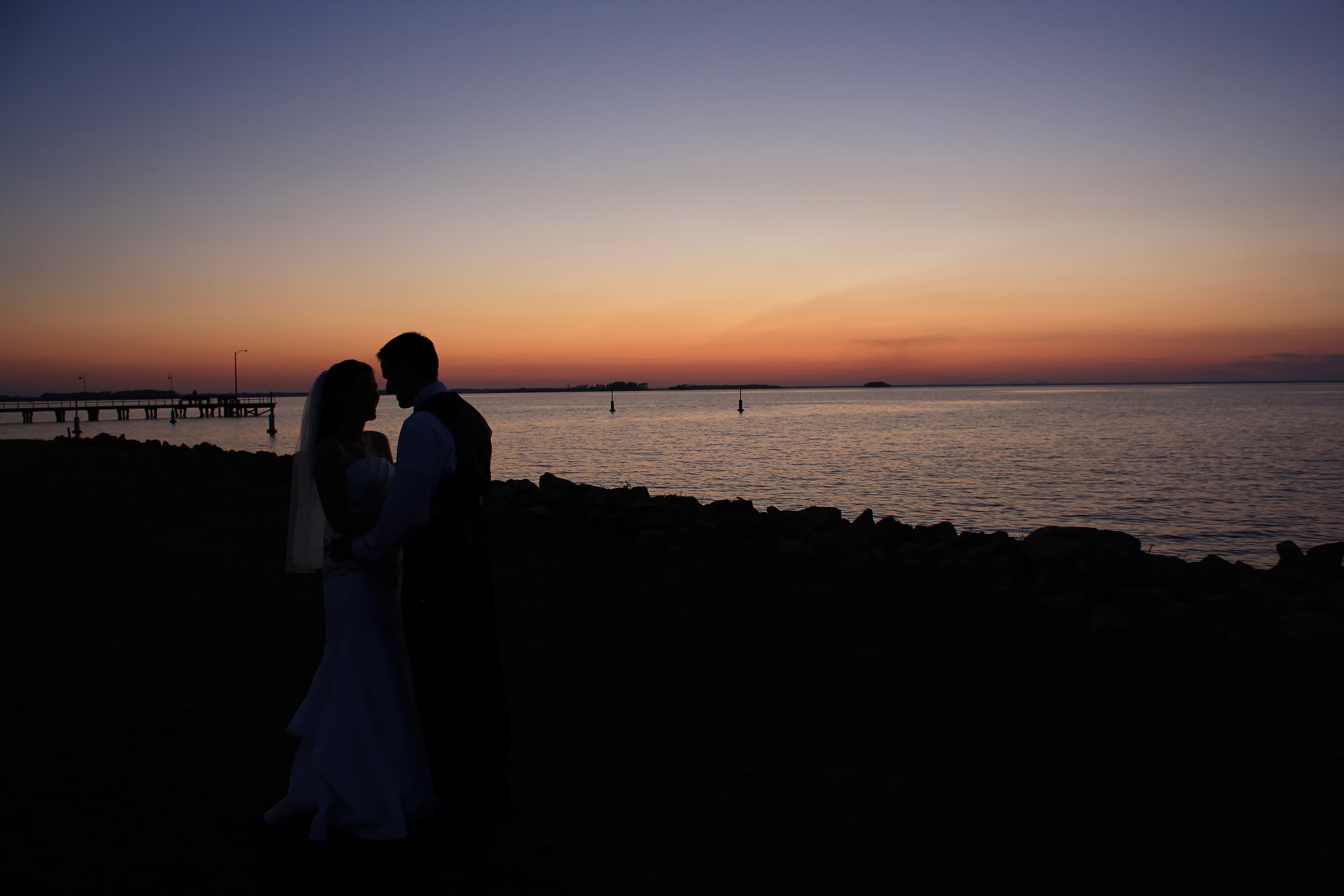
Sunset Kiss
Old Santee Canal
Lake Reflections

South Carolina: Near the Pee Dee River
LCS Dropping In
Tailrace Canal-002

Old Santee Canal

Lolium perenne var. aristatum (Annual Rye grass)
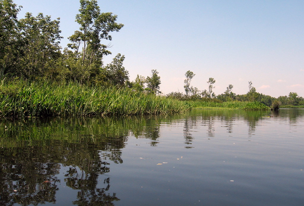
Reflections of plants
Topographic Map of US-17 ALT, Bonneau, SC, USA
Find elevation by address:

Places near US-17 ALT, Bonneau, SC, USA:
226 Robins Nest Way
Bethera Road
Black Oak Rd, Bonneau, SC, USA
Bonneau
250 Harris Ln
117 Pilson Pl
Forty-One Rd, St Stephen, SC, USA
Dennis Blvd, Moncks Corner, SC, USA
736 General Moultrie Dr
713 General Moultrie Dr
135 Canal St
Alvin
265 Kitfield Rd
Vandross Road
669 Calestown Rd
Old U.s. 52
Moncks Corner
Saint Stephen
322 Hickorywood Dr
Cordesville
Recent Searches:
- Elevation of Unnamed Road, Respublika Severnaya Osetiya — Alaniya, Russia
- Elevation of Verkhny Fiagdon, North Ossetia–Alania Republic, Russia
- Elevation of F. Viola Hiway, San Rafael, Bulacan, Philippines
- Elevation of Herbage Dr, Gulfport, MS, USA
- Elevation of Lilac Cir, Haldimand, ON N3W 2G9, Canada
- Elevation of Harrod Branch Road, Harrod Branch Rd, Kentucky, USA
- Elevation of Wyndham Grand Barbados Sam Lords Castle All Inclusive Resort, End of Belair Road, Long Bay, Bridgetown Barbados
- Elevation of Iga Trl, Maggie Valley, NC, USA
- Elevation of N Co Rd 31D, Loveland, CO, USA
- Elevation of Lindever Ln, Palmetto, FL, USA