Elevation of US-14 ALT, Dayton, WY, USA
Location: United States > Wyoming > Sheridan County > Dayton >
Longitude: -107.5288286
Latitude: 44.768093
Elevation: 2457m / 8061feet
Barometric Pressure: 0KPa
Related Photos:
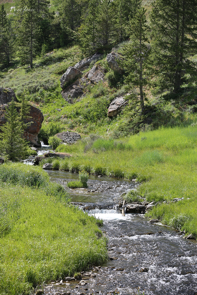
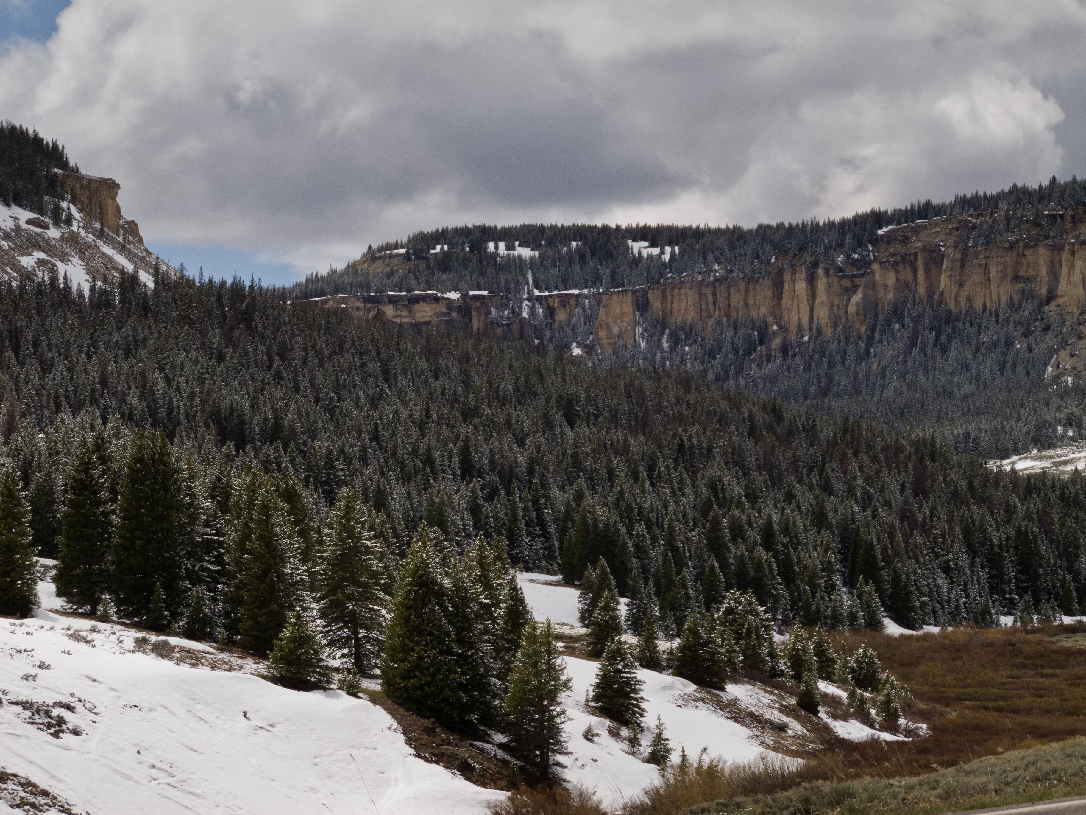
The Dry Fork
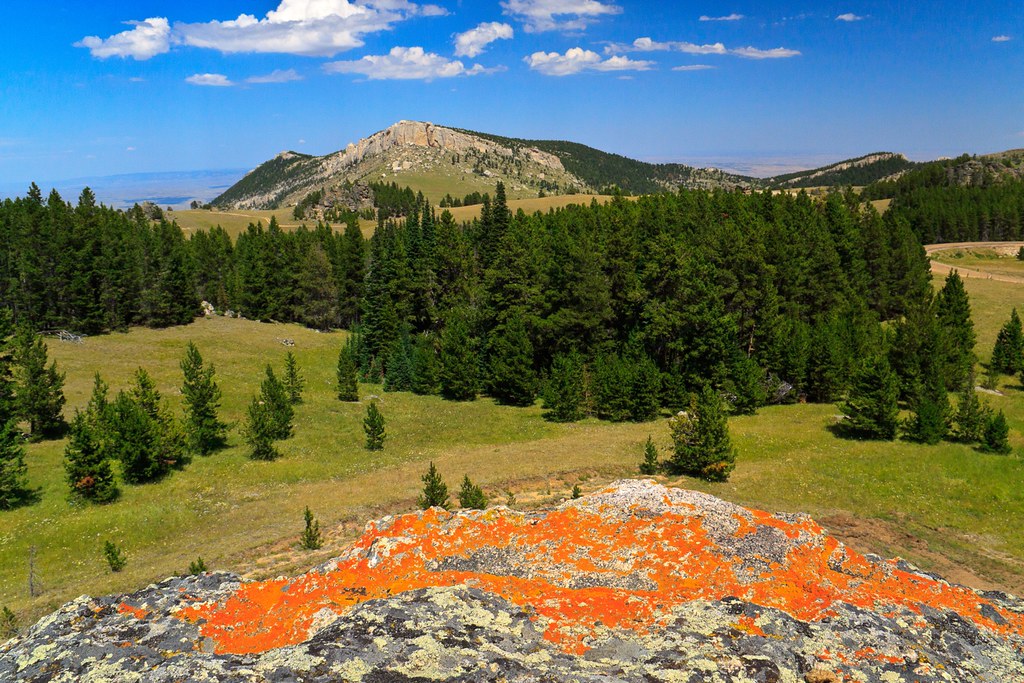
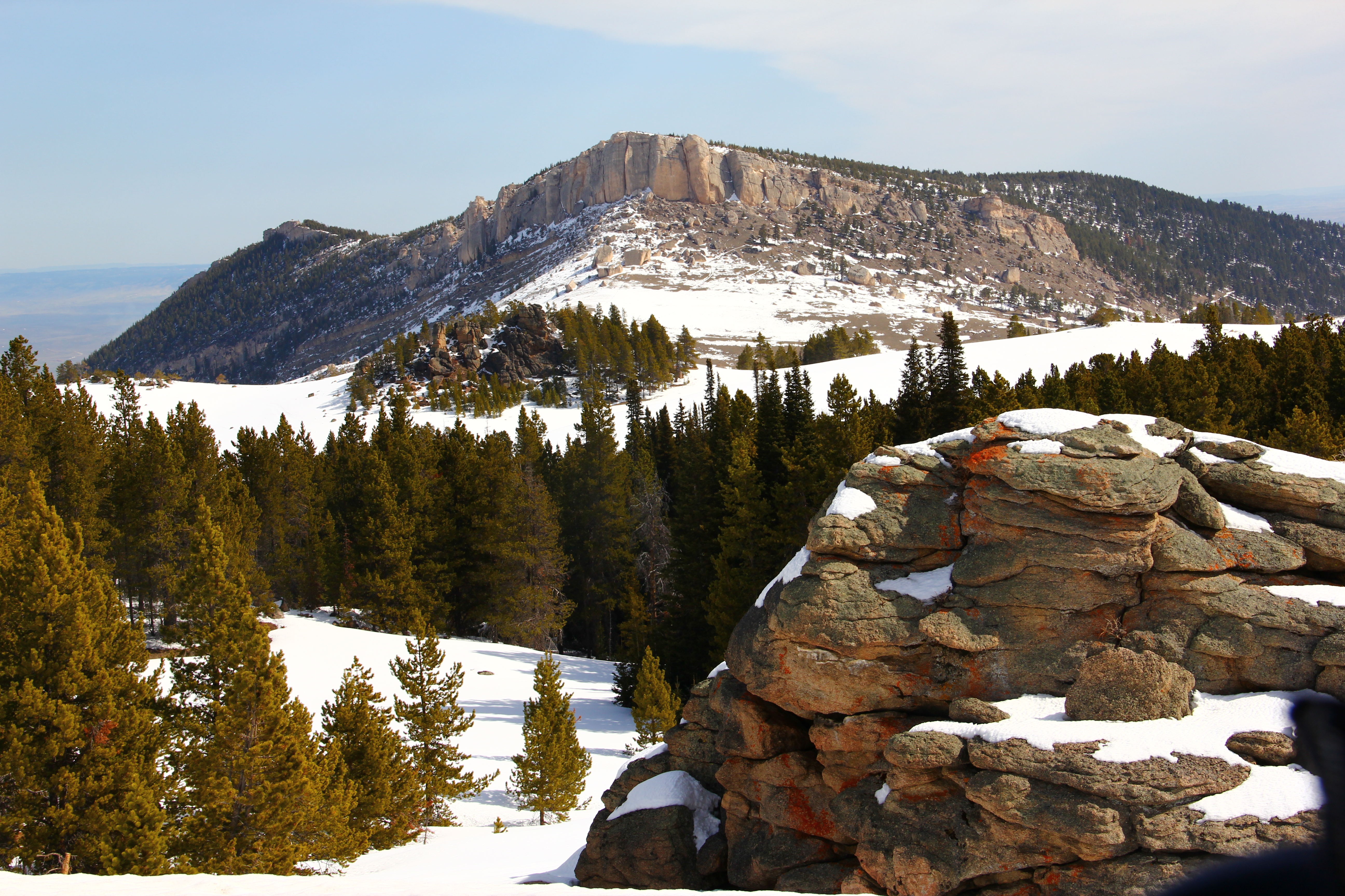
Bighorn National Forest
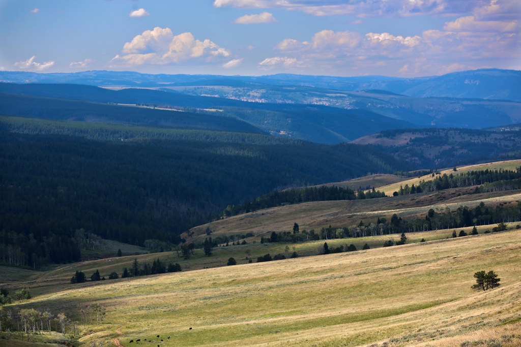
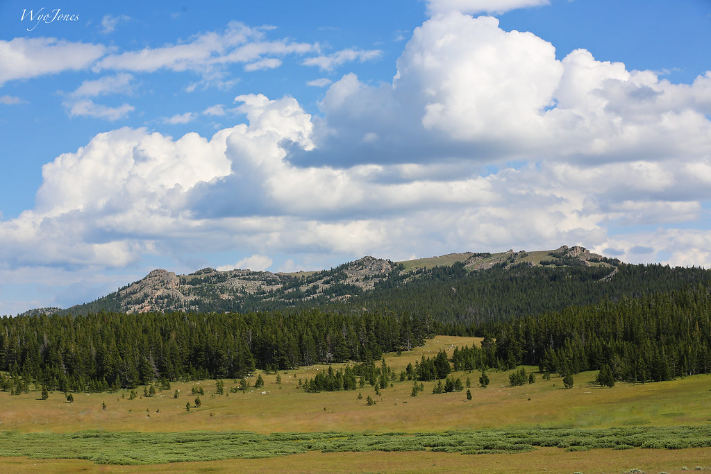
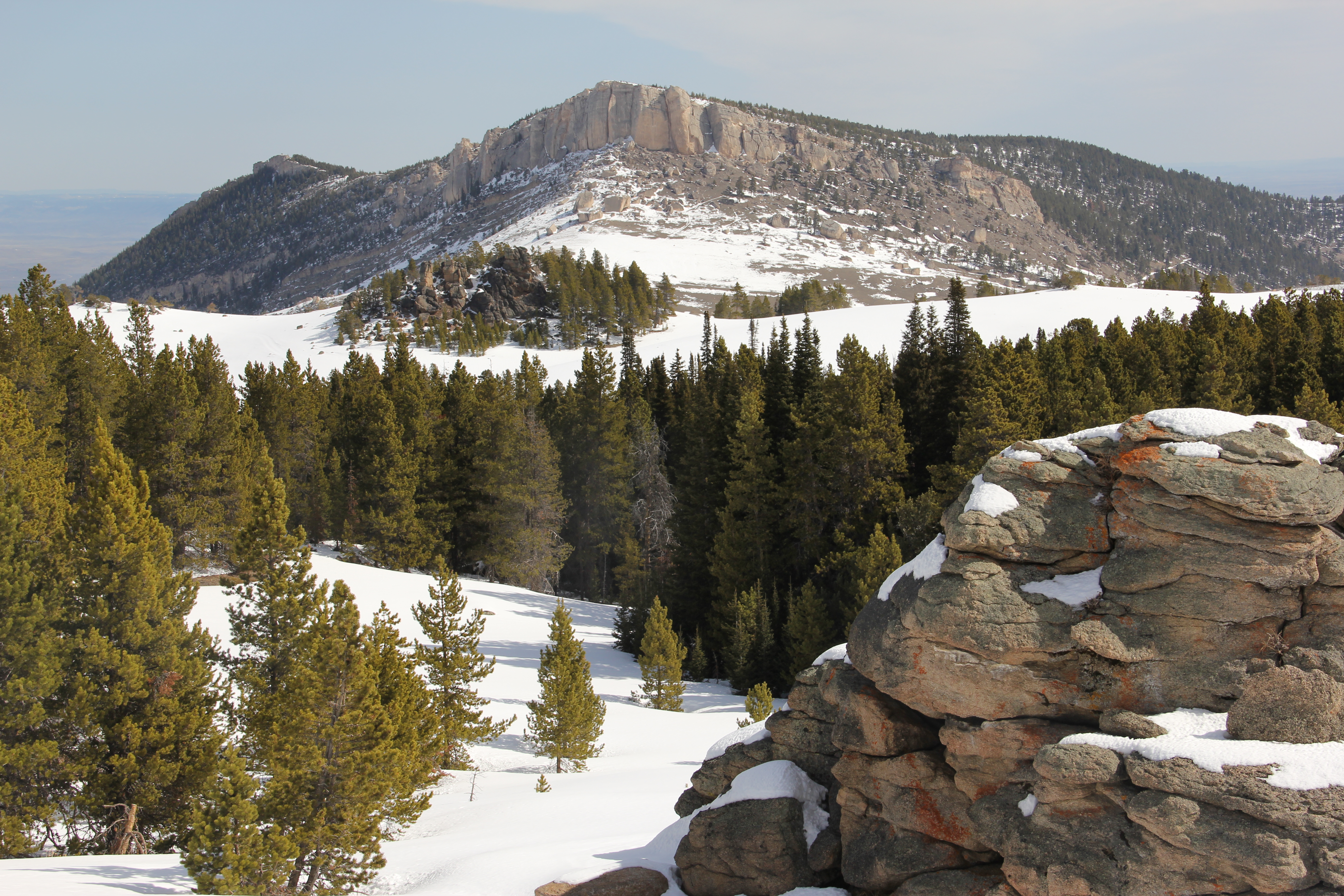
Observation Point View
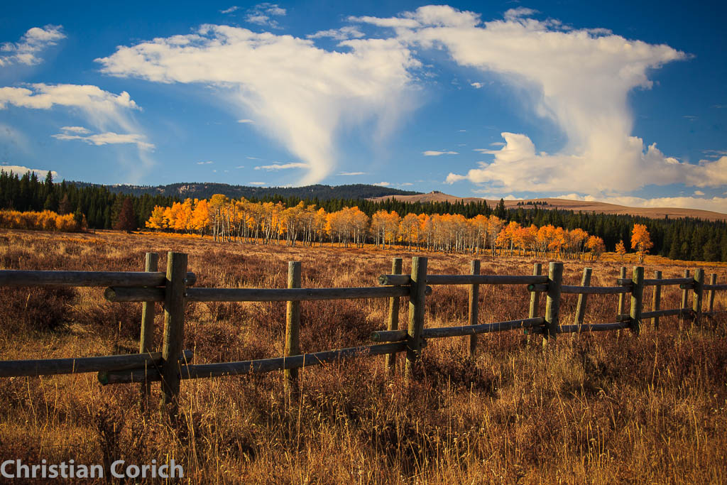
Country Side View

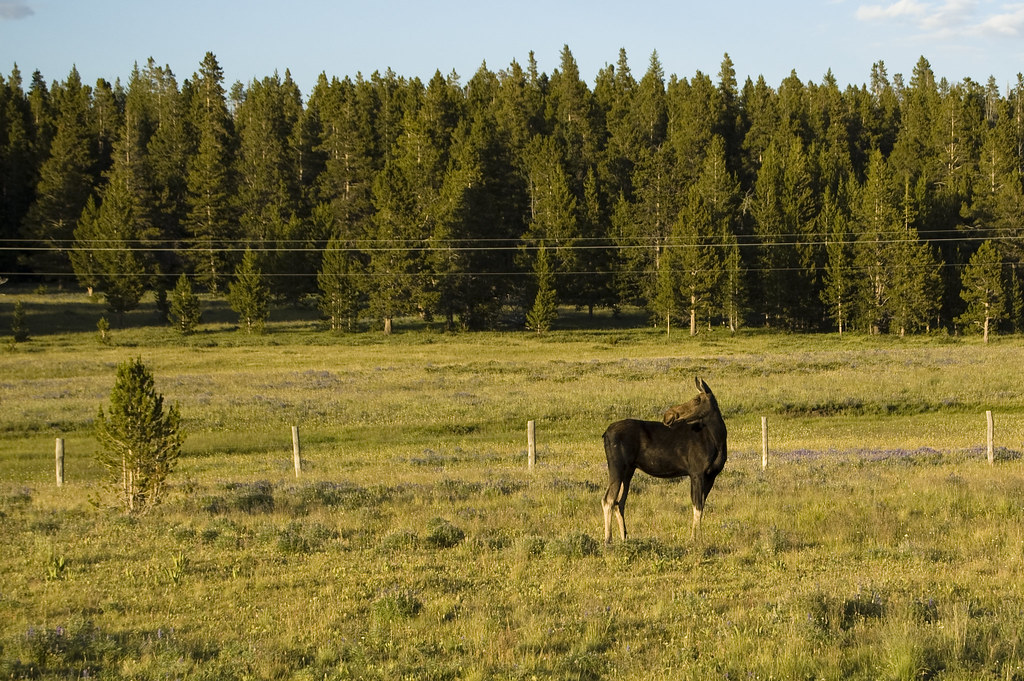
Crazed Wild Moose
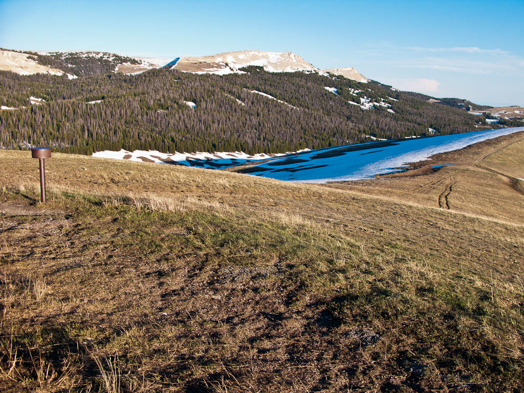
Observation Point View
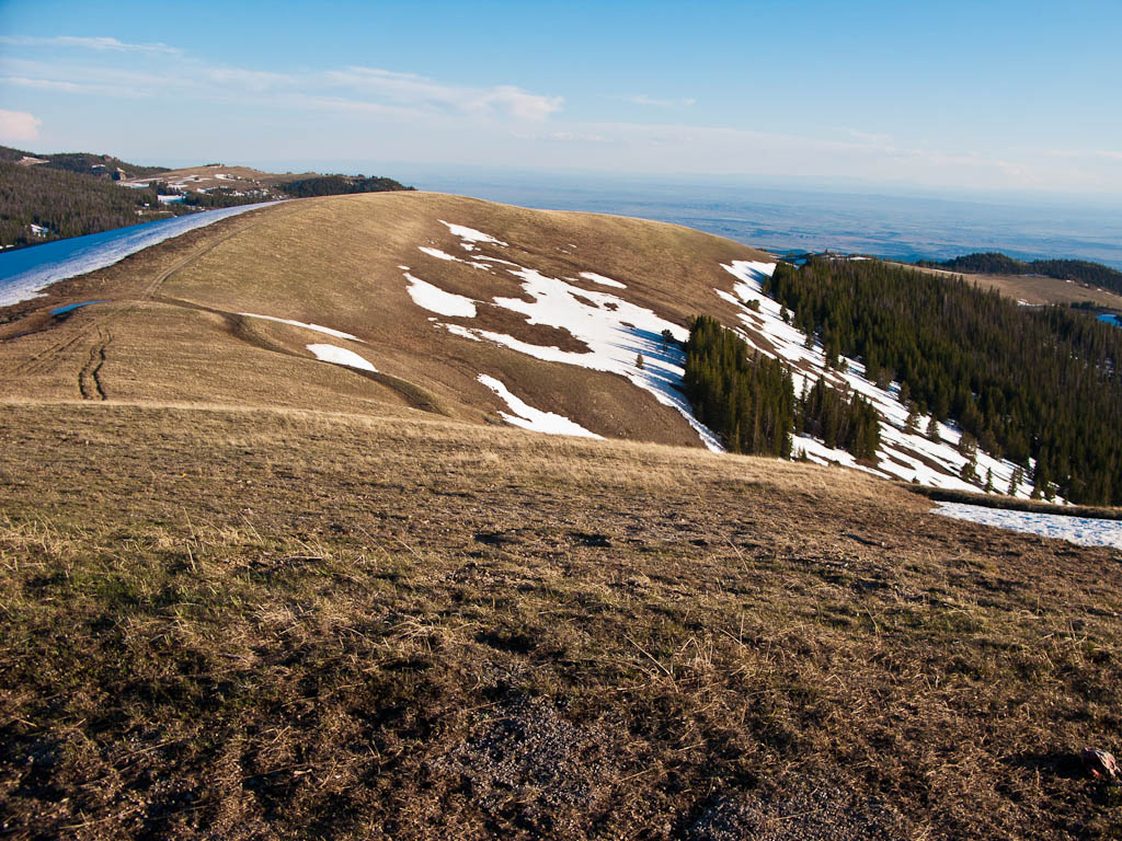
Observation Point View
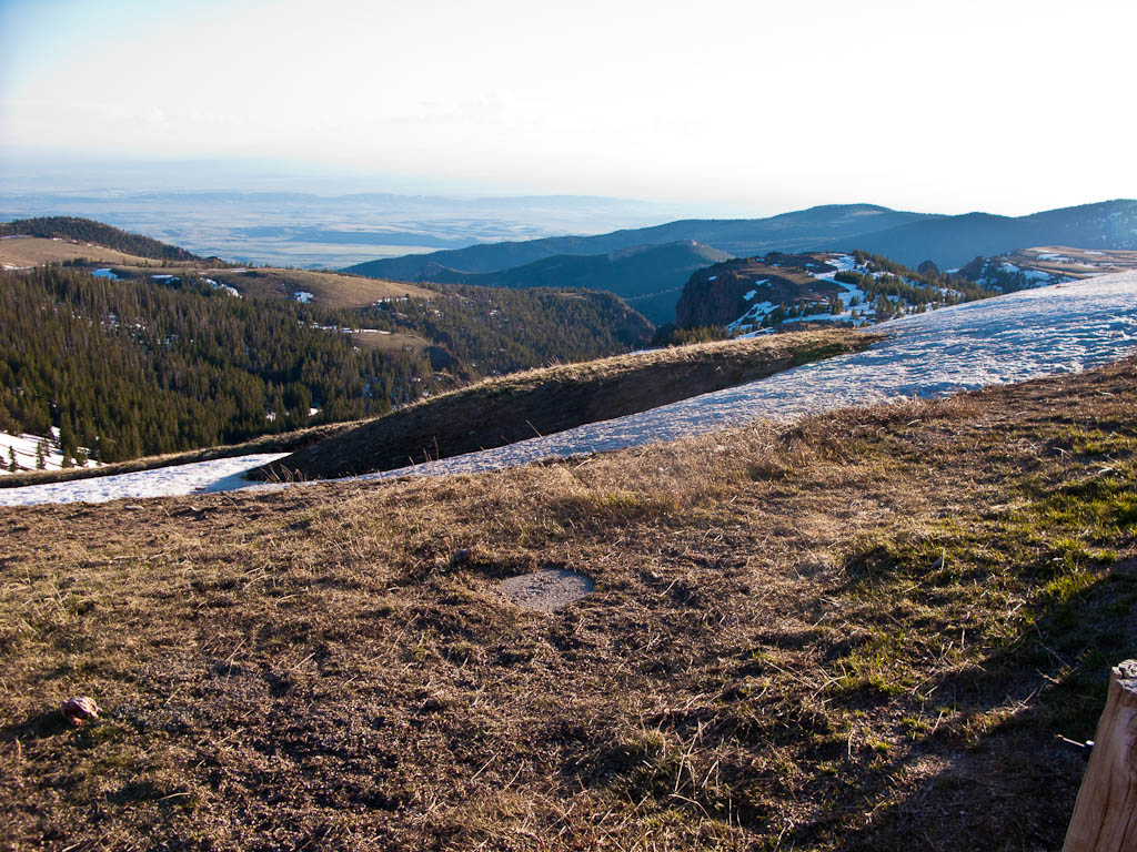
Observation Point View
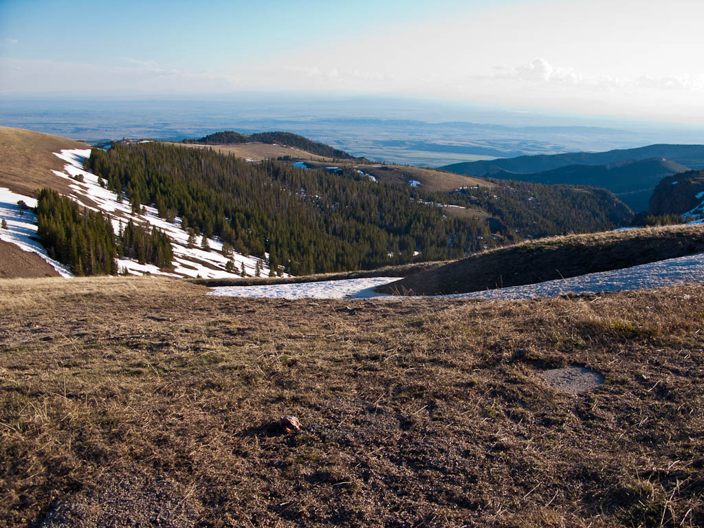
Observation Point View
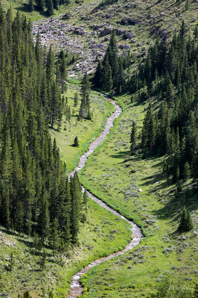
Fool Creek

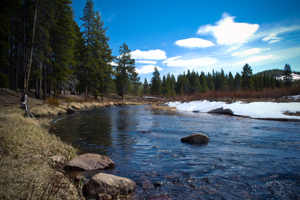
North Tongue River
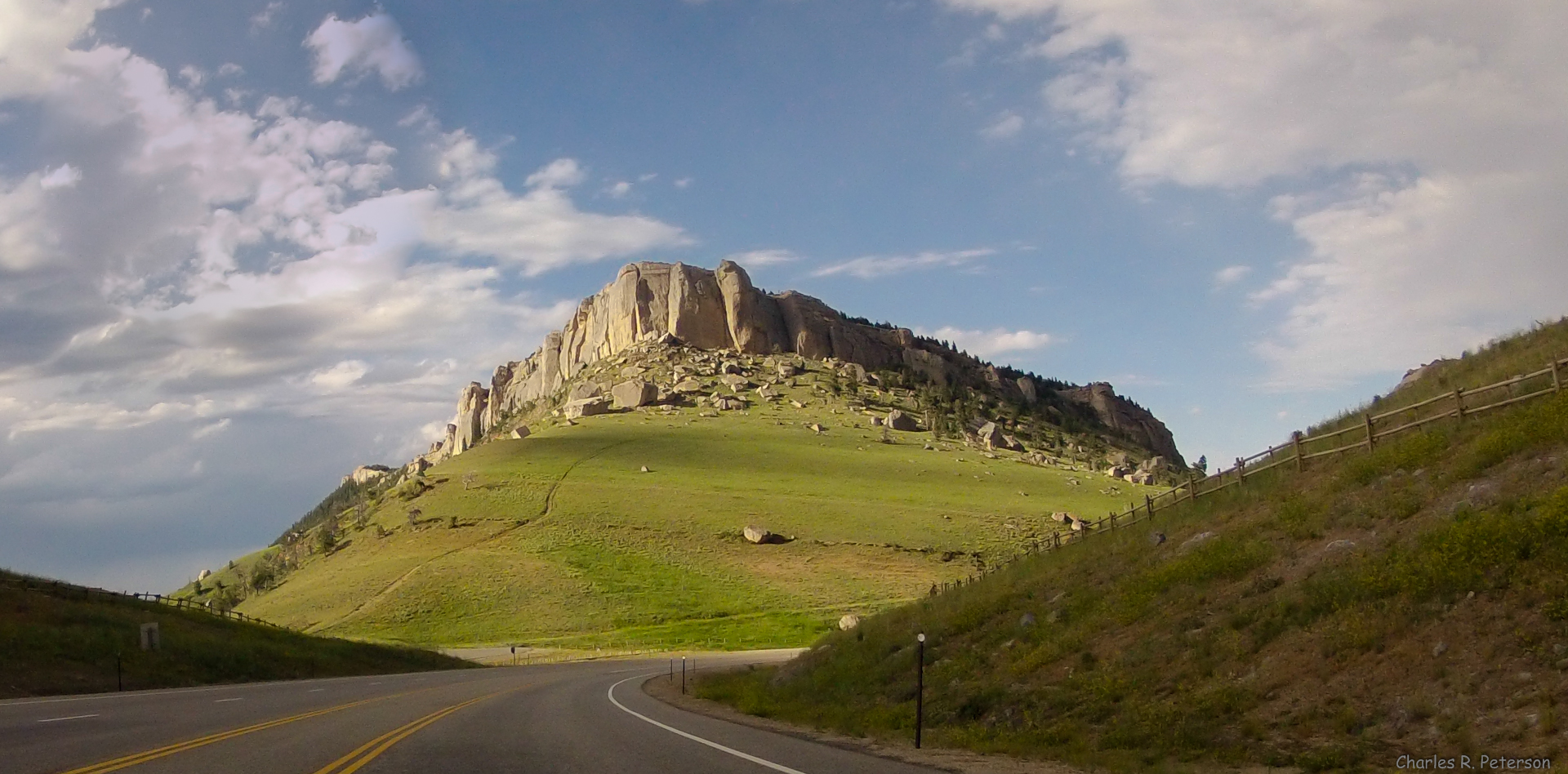
Steamboat Point - Wyoming
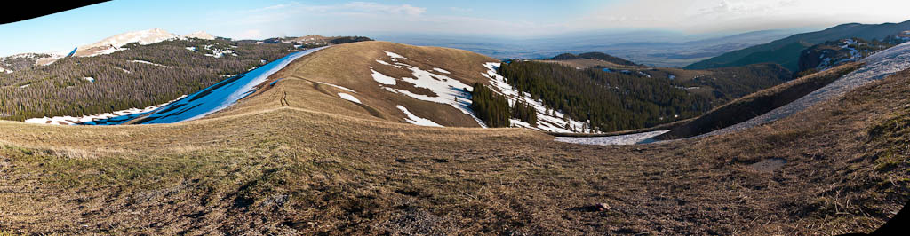
Fool Creek Basin

DSC_1423_2013-08-24_09-27-54
Don't Speak (2012)
Steamboat Point
_MG_1257.jpg
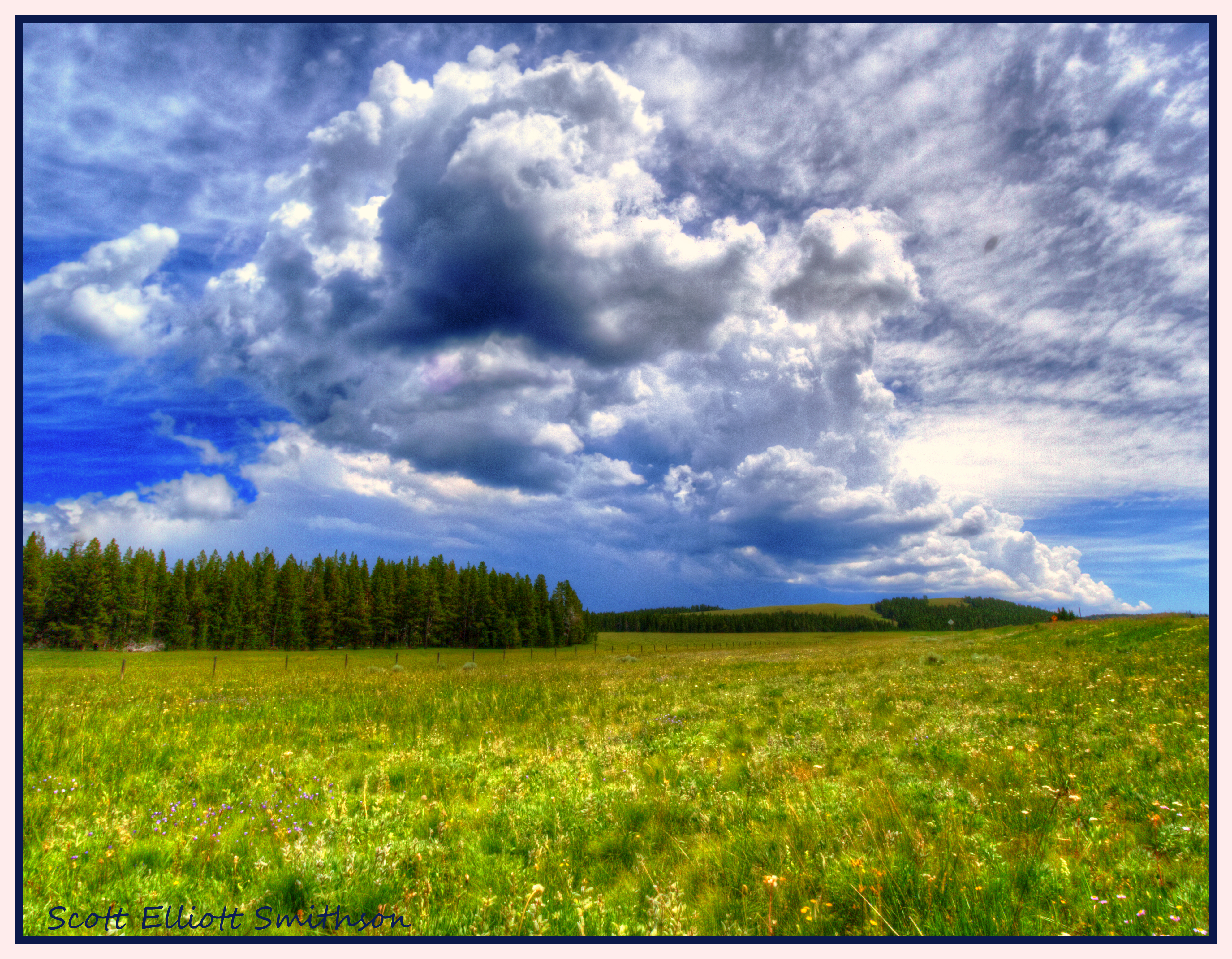
Big Horn Sky
Bruce Mountain

Steamboat Point

Steamboat Point
Steamboat Point

Camp Creek

Passing Over the Mountains
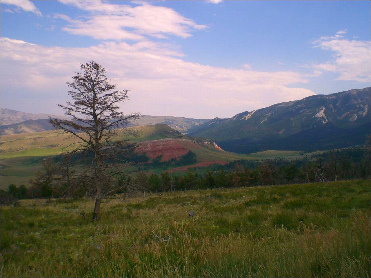
Landscape along US 14 A, WY

Big Horn Canyon

2005-07-13 at 15-58-07 - IMG_0992.JPG
Moose Spotting in Bighorn National Forest
Topographic Map of US-14 ALT, Dayton, WY, USA
Find elevation by address:

Places near US-14 ALT, Dayton, WY, USA:
Bear Lodge Resort
Burgess Junction
Prune Creek
Sibley Lake Campground
291 Tongue Canyon Rd
294 Tongue Canyon Rd
Bighorn National Forest
1891 Us-14
Dayton
The Hideout Lodge & Guest Ranch
Wyoming High Country Lodge
Shell
Main St, Shell, WY, USA
South Big Horn County-gey
Ranchester
Big Goose Rd, Sheridan, WY, USA
Co Rd 36, Greybull, WY, USA
75 Beaver Creek Rd
44 Monarch Rd, Ranchester, WY, USA
Cloud Peak
Recent Searches:
- Elevation map of Greenland, Greenland
- Elevation of Sullivan Hill, New York, New York, 10002, USA
- Elevation of Morehead Road, Withrow Downs, Charlotte, Mecklenburg County, North Carolina, 28262, USA
- Elevation of 2800, Morehead Road, Withrow Downs, Charlotte, Mecklenburg County, North Carolina, 28262, USA
- Elevation of Yangbi Yi Autonomous County, Yunnan, China
- Elevation of Pingpo, Yangbi Yi Autonomous County, Yunnan, China
- Elevation of Mount Malong, Pingpo, Yangbi Yi Autonomous County, Yunnan, China
- Elevation map of Yongping County, Yunnan, China
- Elevation of North 8th Street, Palatka, Putnam County, Florida, 32177, USA
- Elevation of 107, Big Apple Road, East Palatka, Putnam County, Florida, 32131, USA
- Elevation of Jiezi, Chongzhou City, Sichuan, China
- Elevation of Chongzhou City, Sichuan, China
- Elevation of Huaiyuan, Chongzhou City, Sichuan, China
- Elevation of Qingxia, Chengdu, Sichuan, China
- Elevation of Corso Fratelli Cairoli, 35, Macerata MC, Italy
- Elevation of Tallevast Rd, Sarasota, FL, USA
- Elevation of 4th St E, Sonoma, CA, USA
- Elevation of Black Hollow Rd, Pennsdale, PA, USA
- Elevation of Oakland Ave, Williamsport, PA, USA
- Elevation of Pedrógão Grande, Portugal