Elevation of US-12, Black River Falls, WI, USA
Location: United States > Wisconsin > Jackson County > Millston >
Longitude: -90.648040
Latitude: 44.1934169
Elevation: 282m / 925feet
Barometric Pressure: 98KPa
Elevation Map:
Satellite Map:
Related Photos:

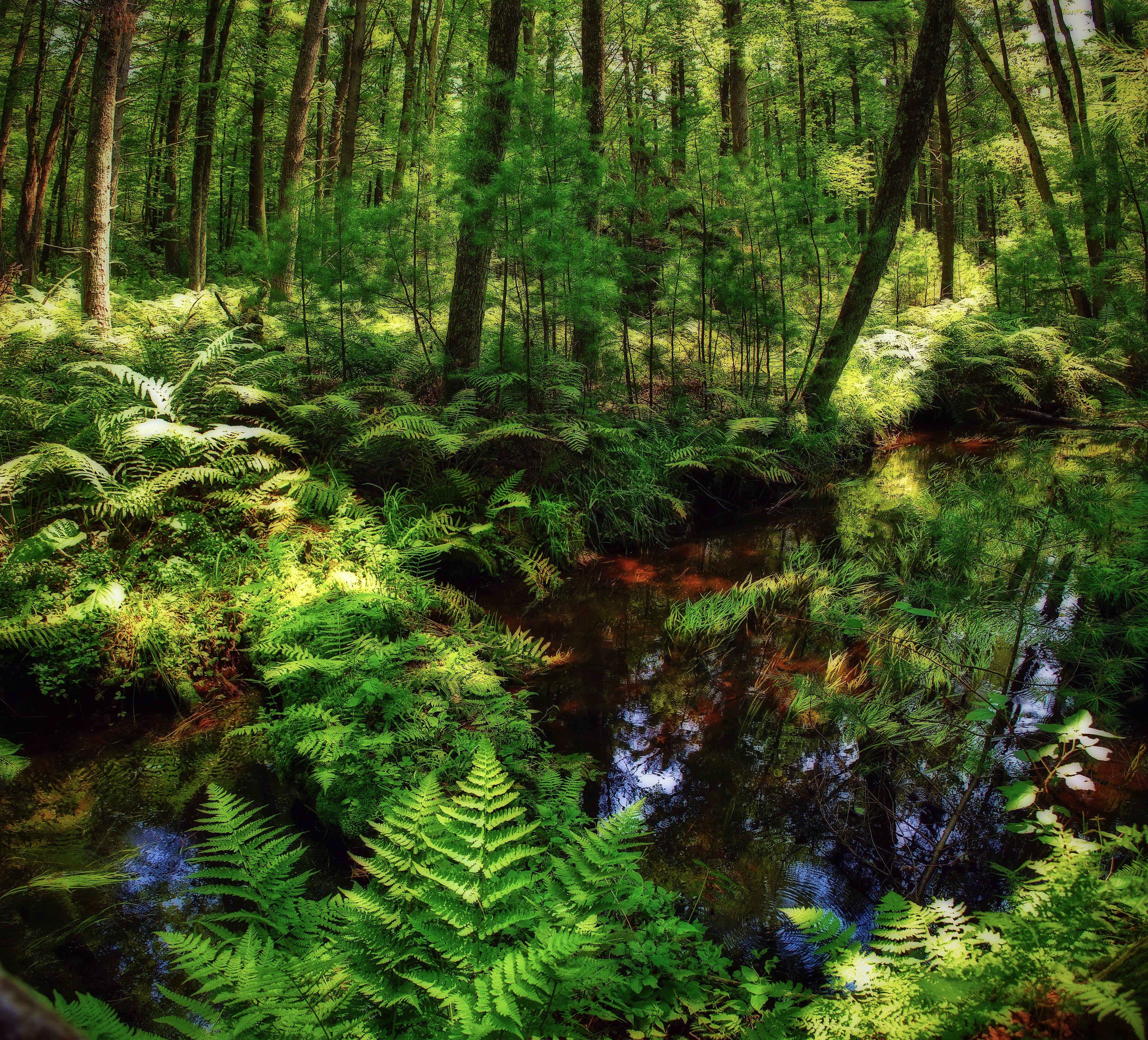
Overgrown scenic view
Knapp Mound Fire Tower Panorama, Jackson Co., WI
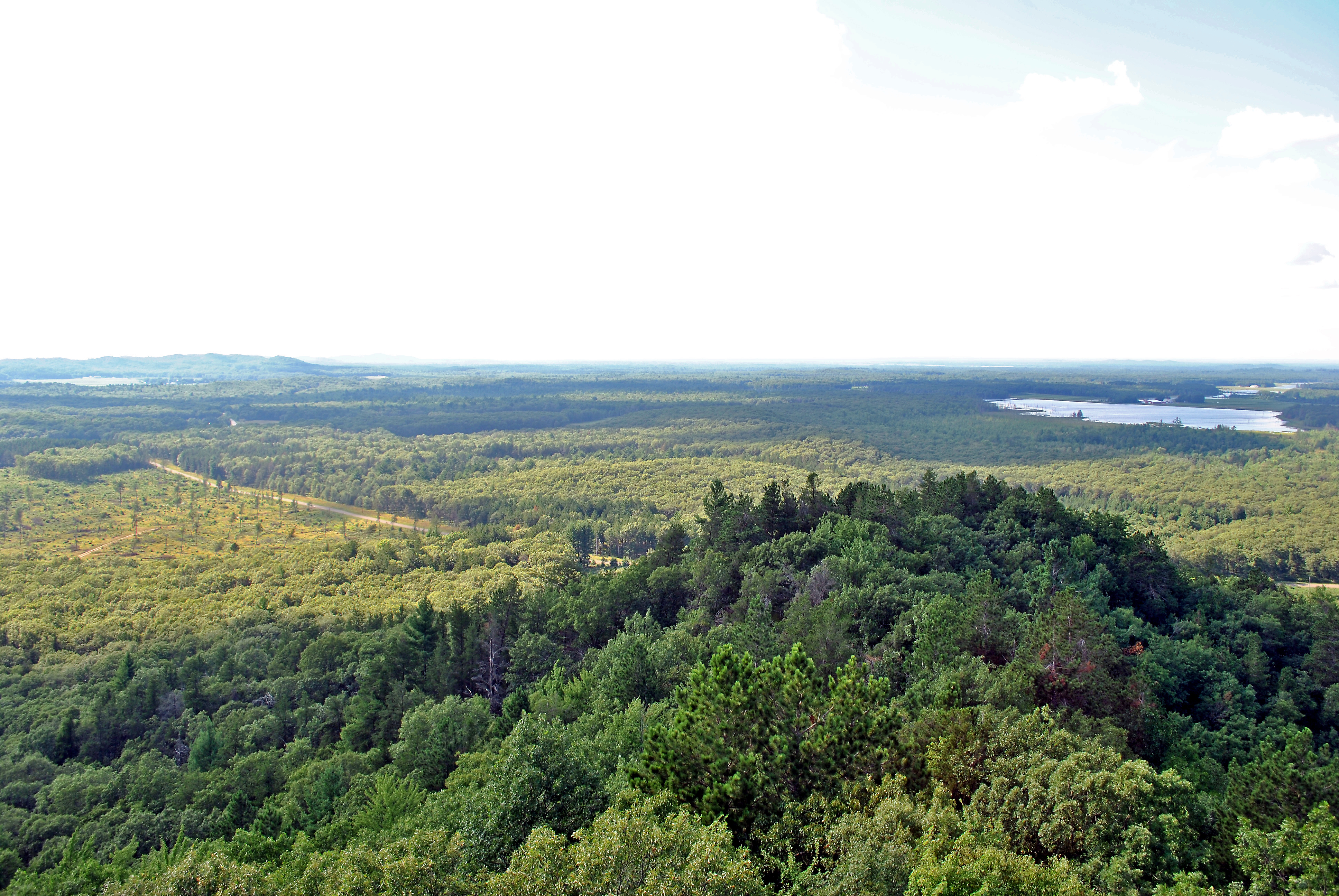
View from the Knapp Mound fire tower, Jackson Co., WI
View from the Knapp Mound fire tower, Jackson Co., WI
View from the Knapp Mound fire tower, Jackson Co., WI
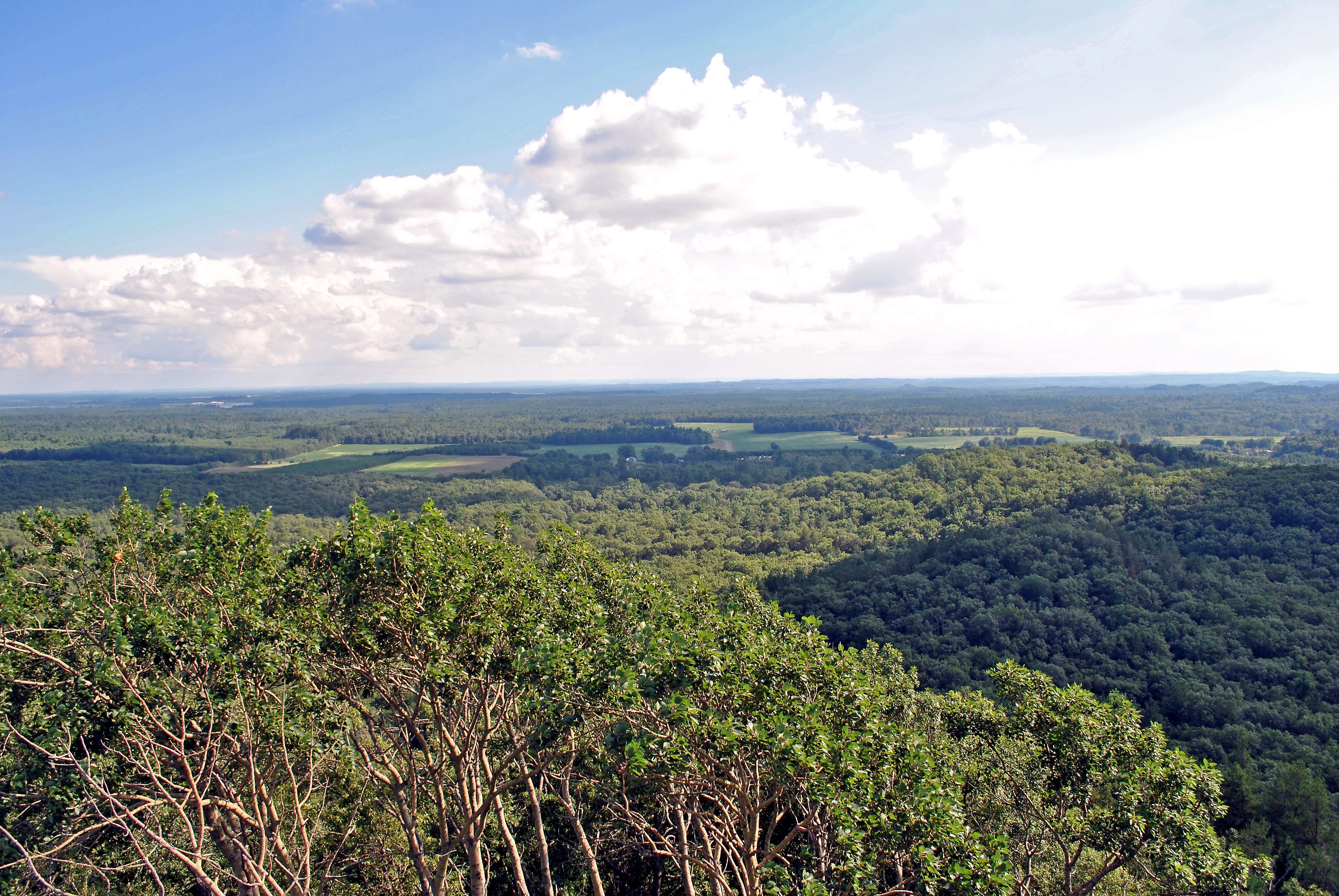
View from the Knapp Mound fire tower, Jackson Co., WI
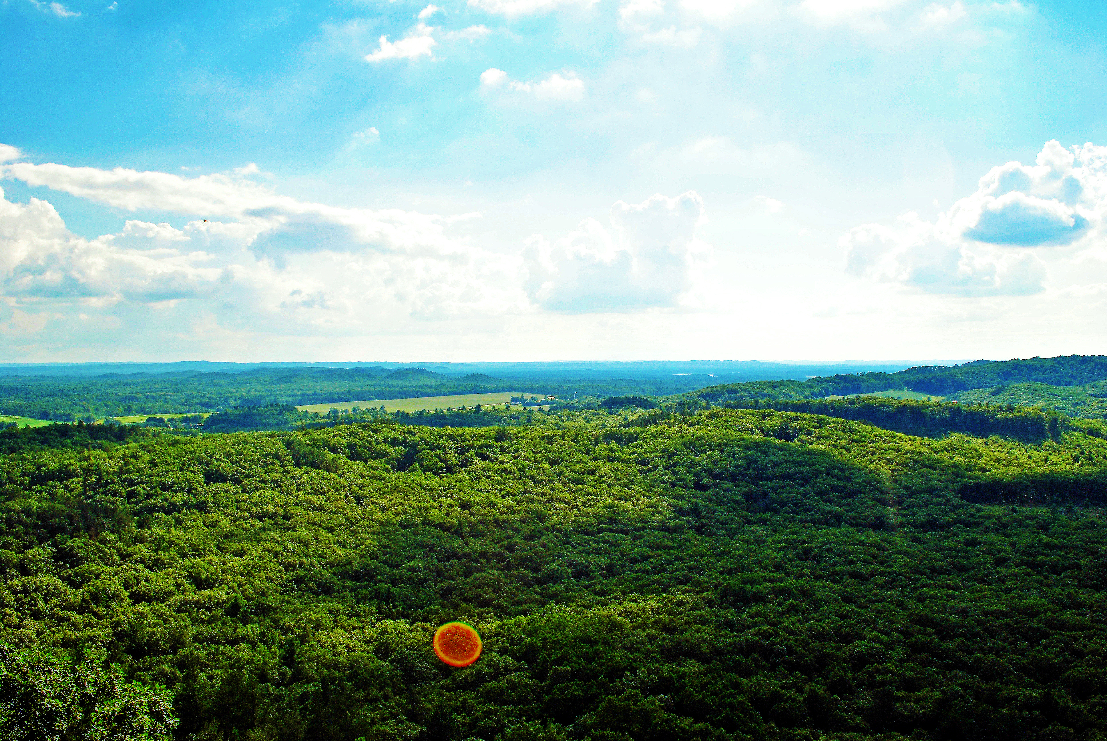
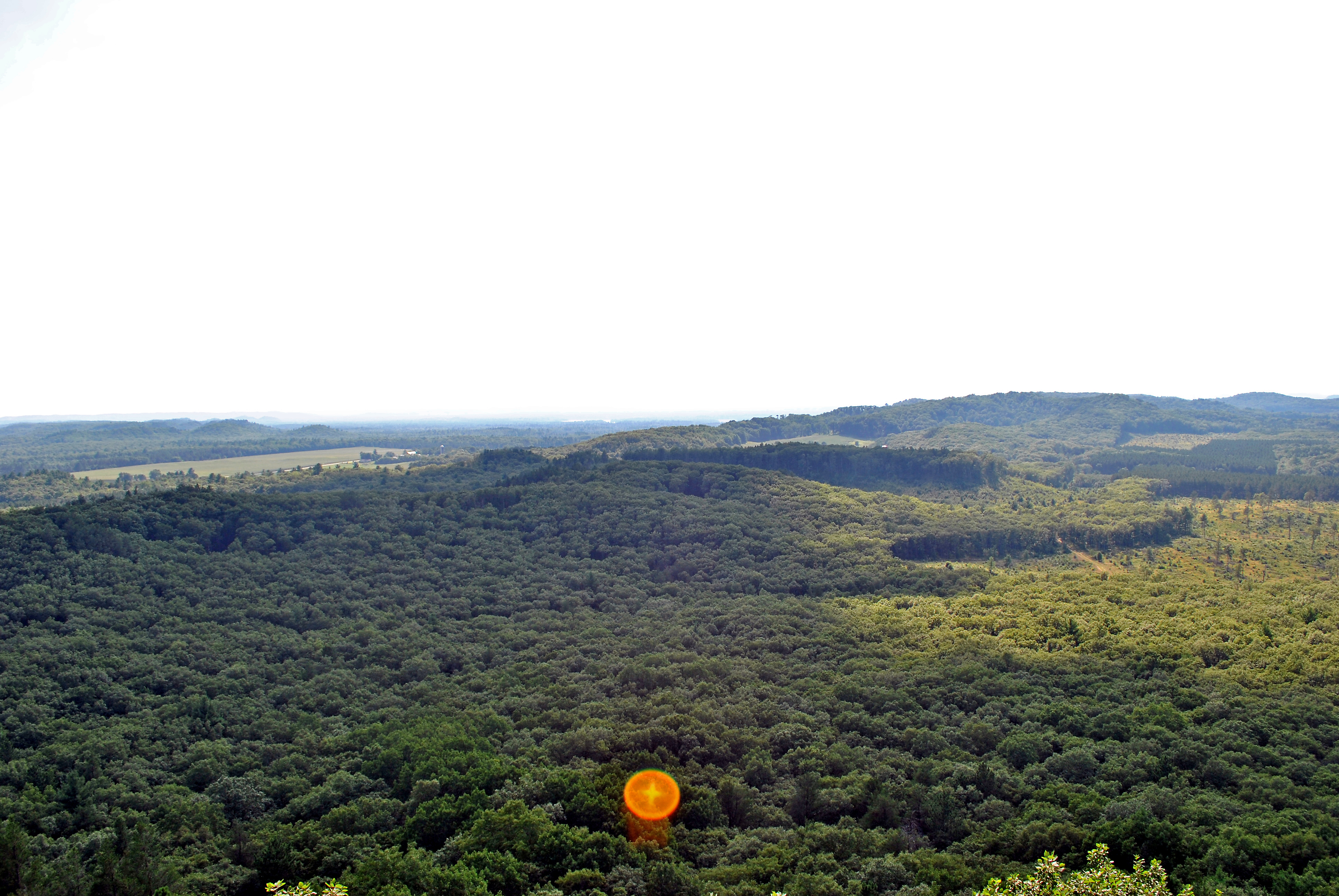
View from the Knapp Mound fire tower, Jackson Co., WI
View from the Knapp Mound fire tower, Jackson Co., WI
View from the Knapp Mound fire tower, Jackson Co., WI
View from the Knapp Mound fire tower, Jackson Co., WI
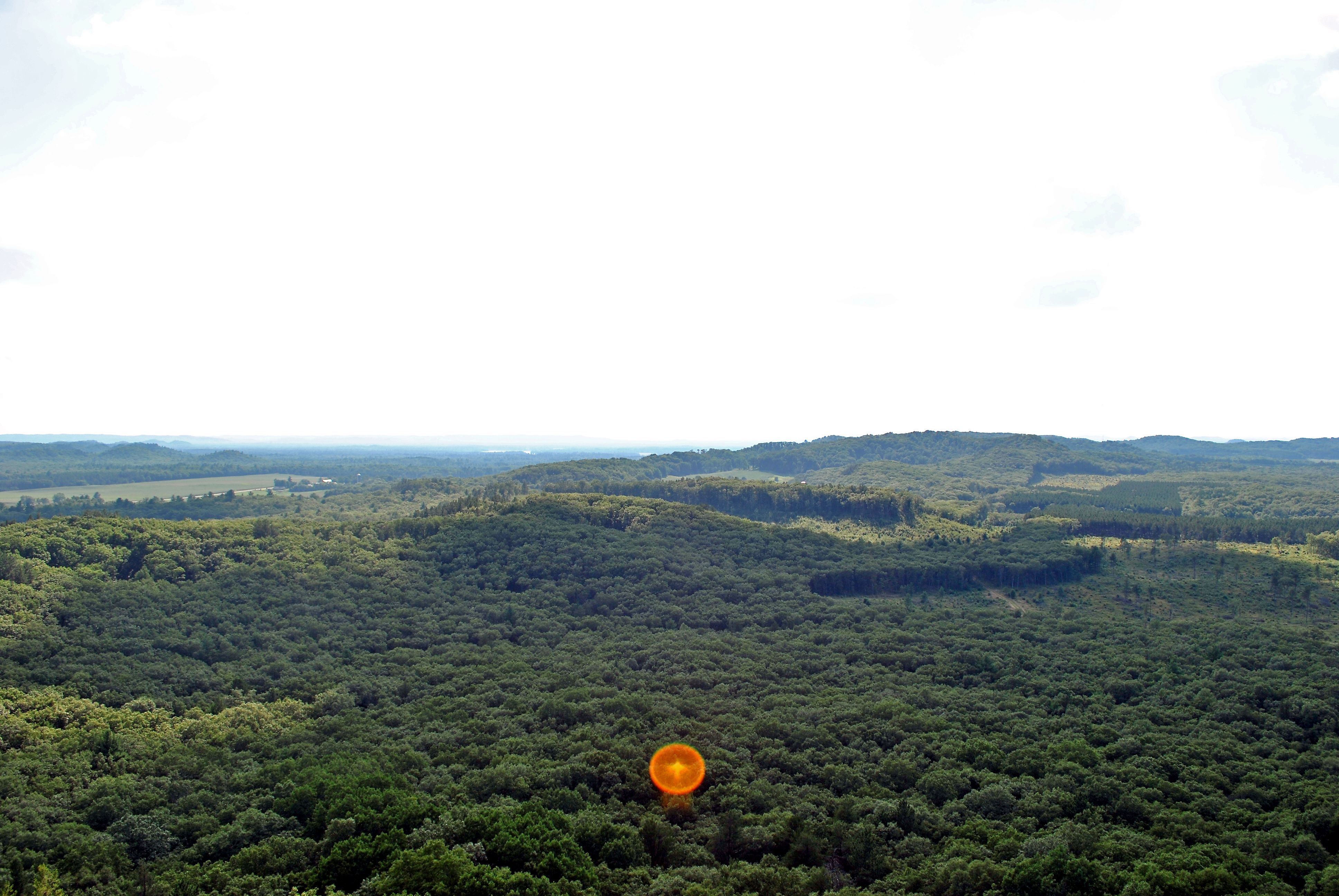
View from the Knapp Mound fire tower, Jackson Co., WI
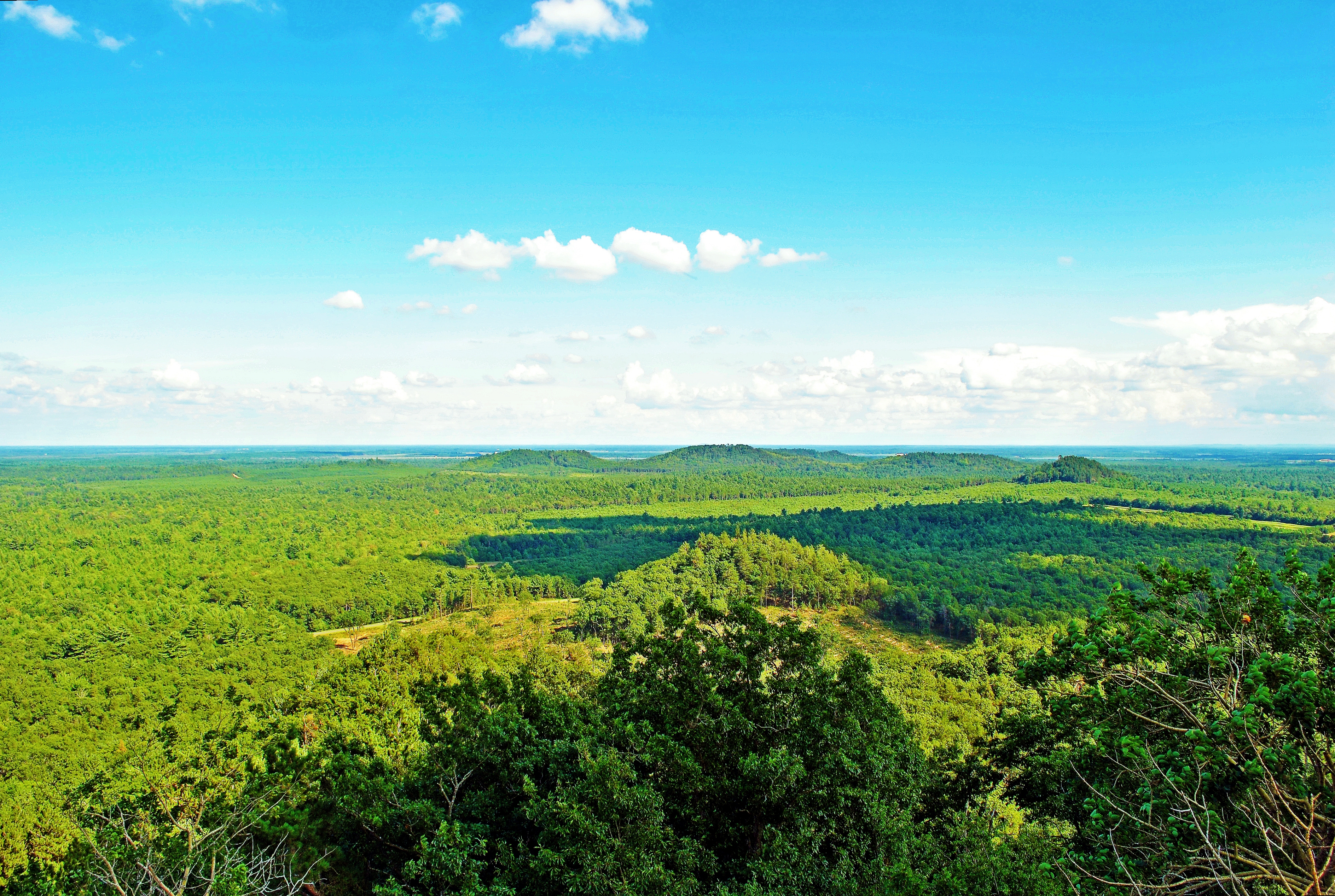
View from the Knapp Mound fire tower, Jackson Co., WI
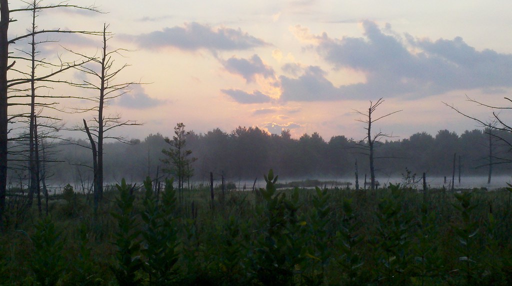
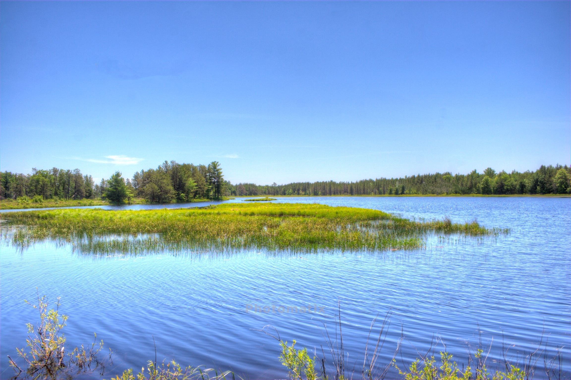
Aug 5 2011 sawdust marsh
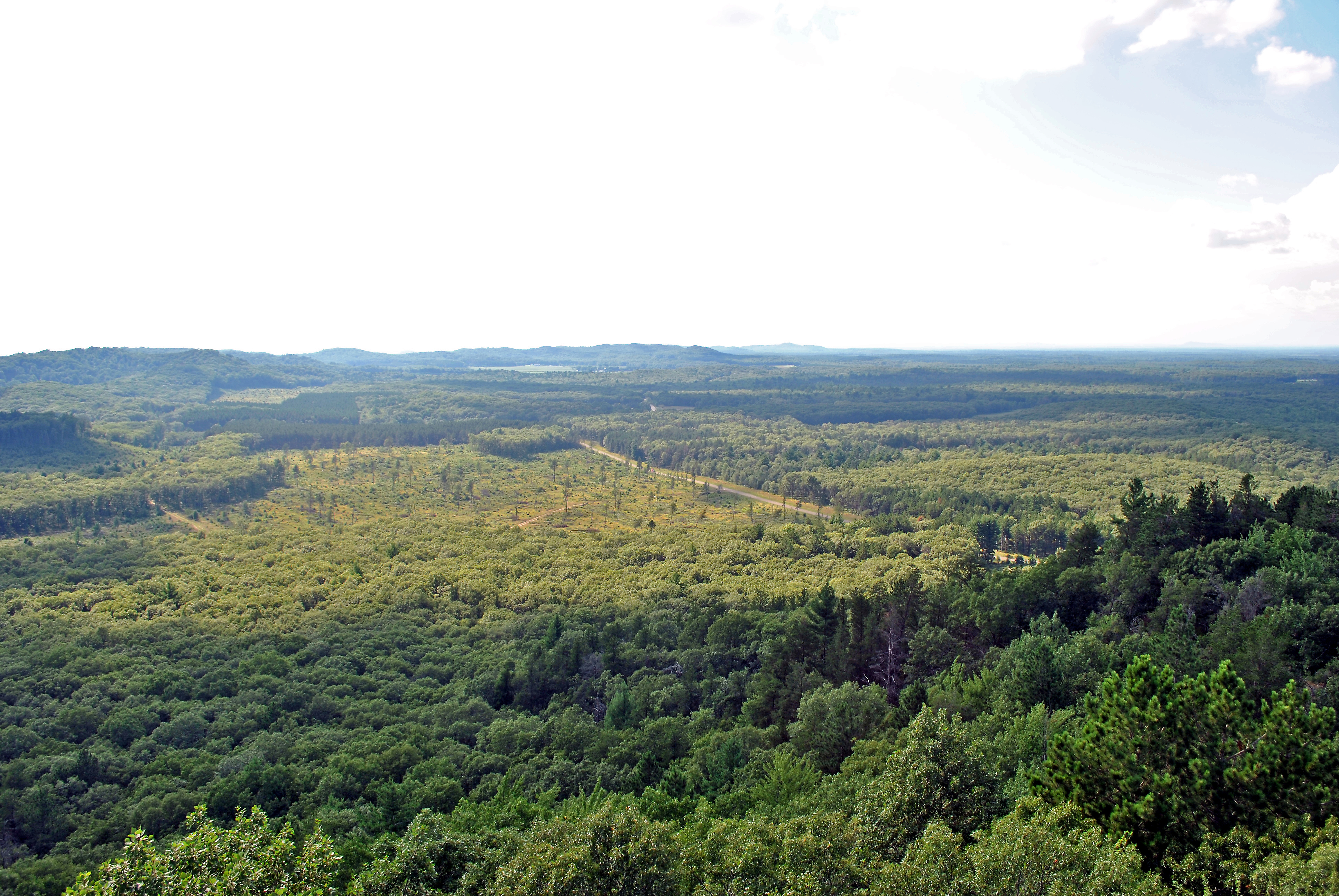
View from the Knapp Mound fire tower, Jackson Co., WI
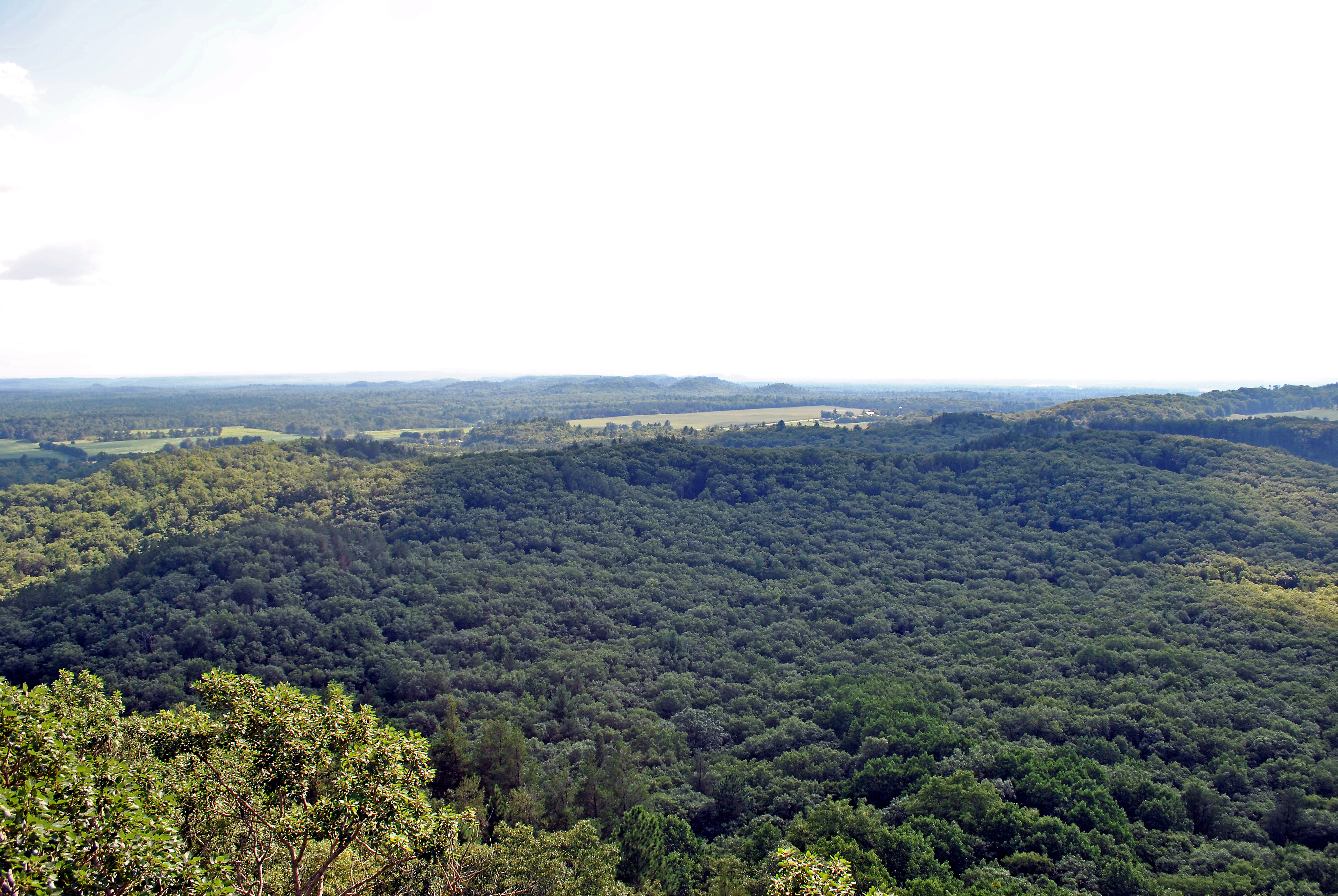
View from the Knapp Mound fire tower, Jackson Co., WI
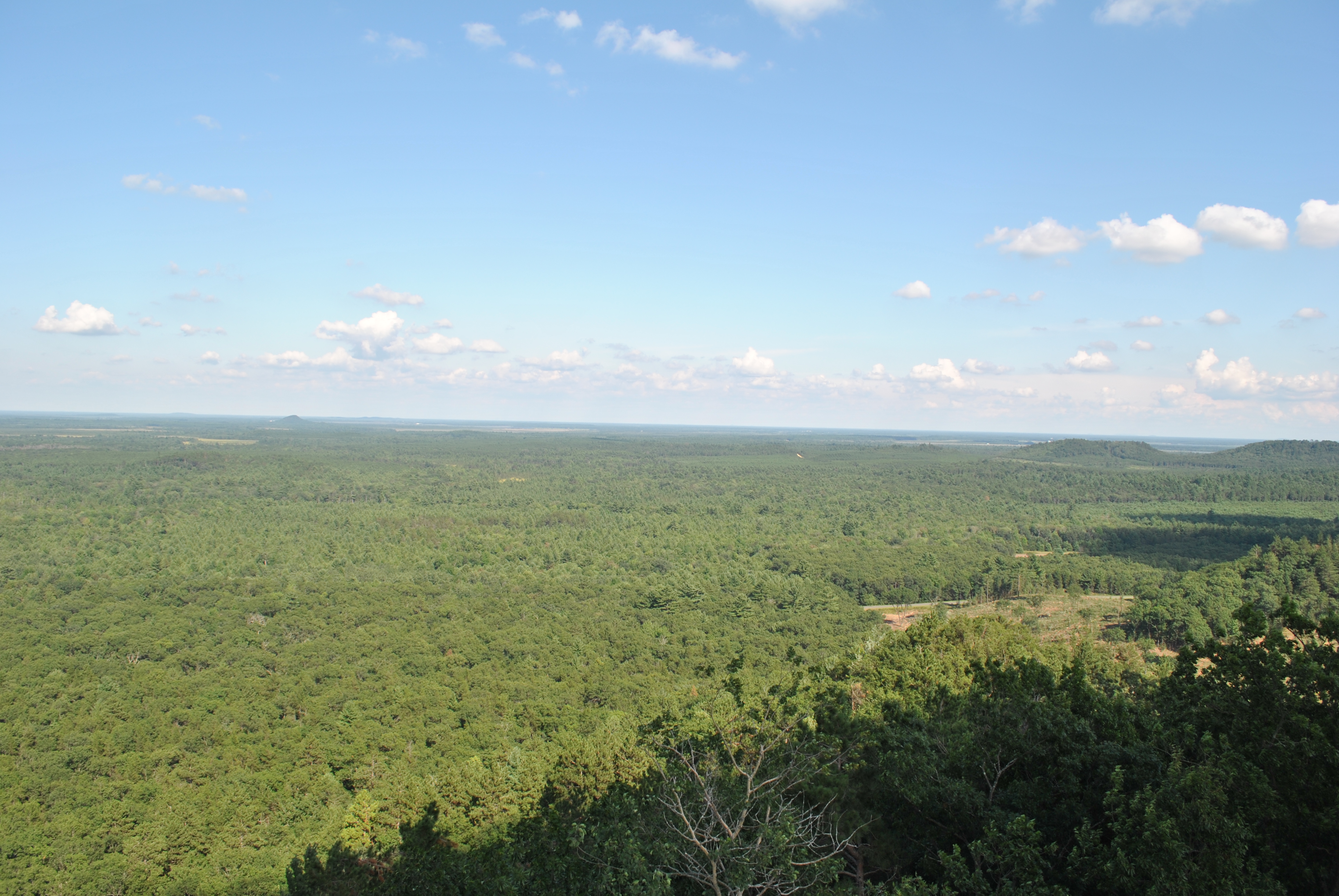
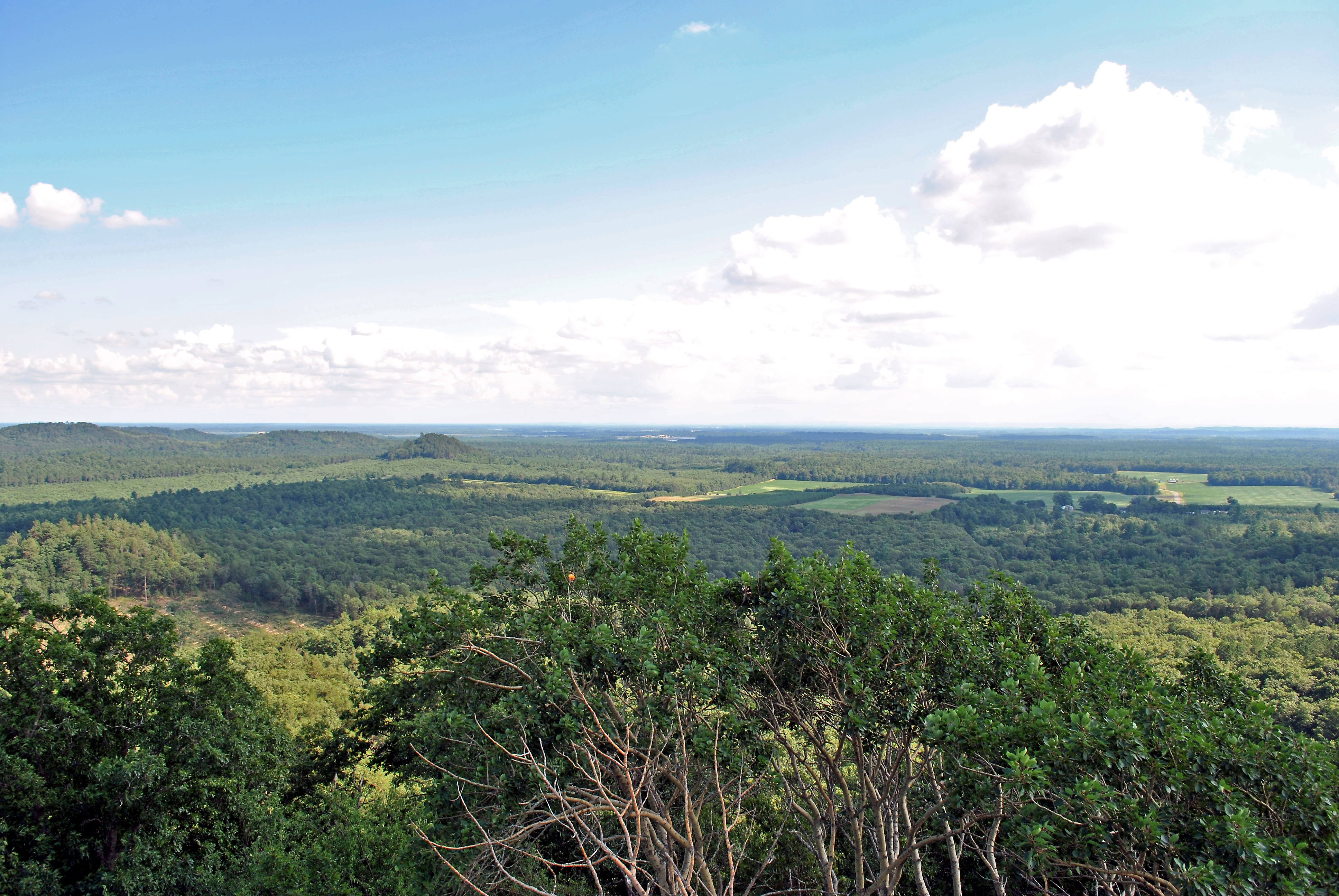
View from the Knapp Mound fire tower, Jackson Co., WI

Geocaching at an I-94 rest area
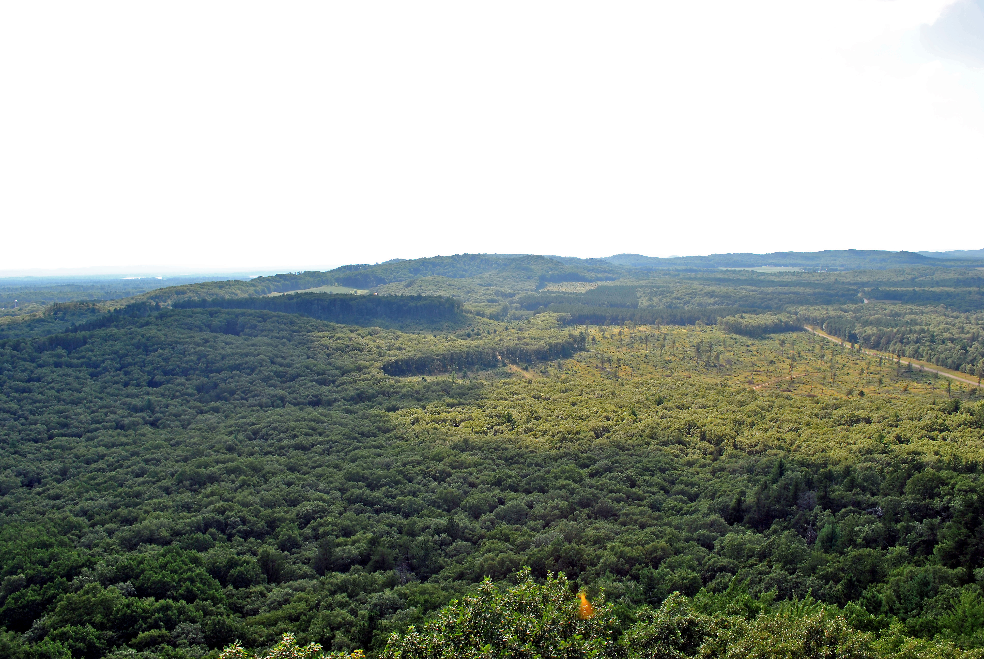
View from the Knapp Mound fire tower, Jackson Co., WI

Geocaching at an I-94 rest area
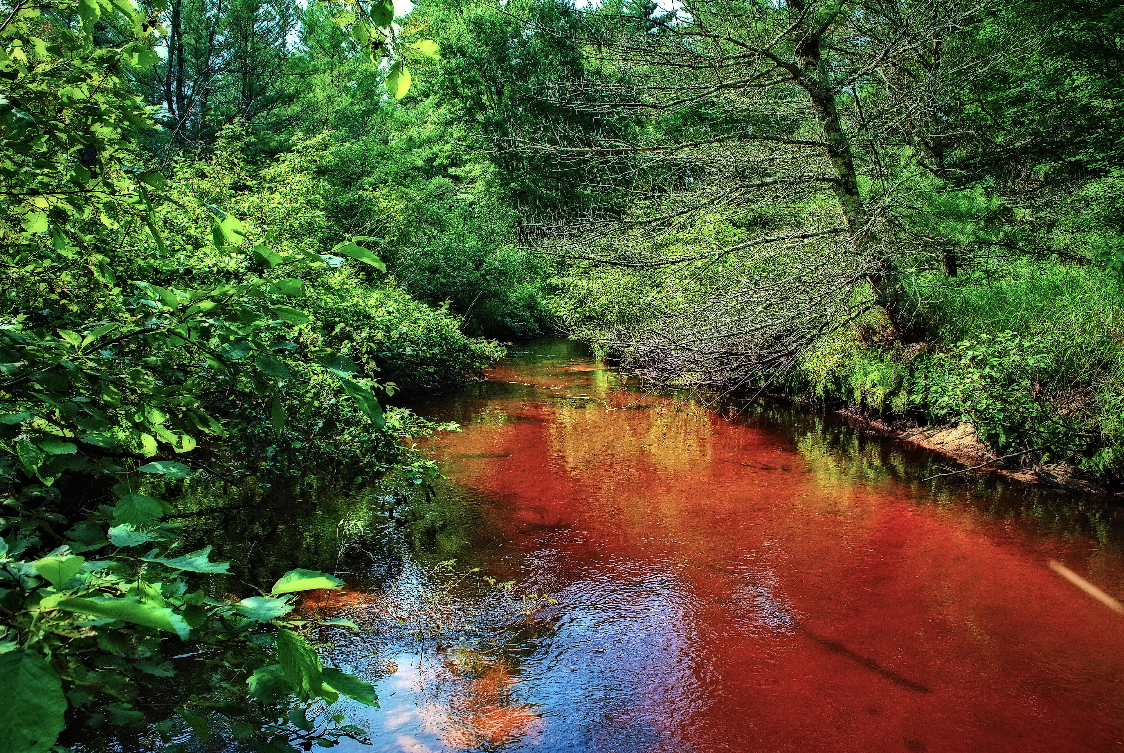
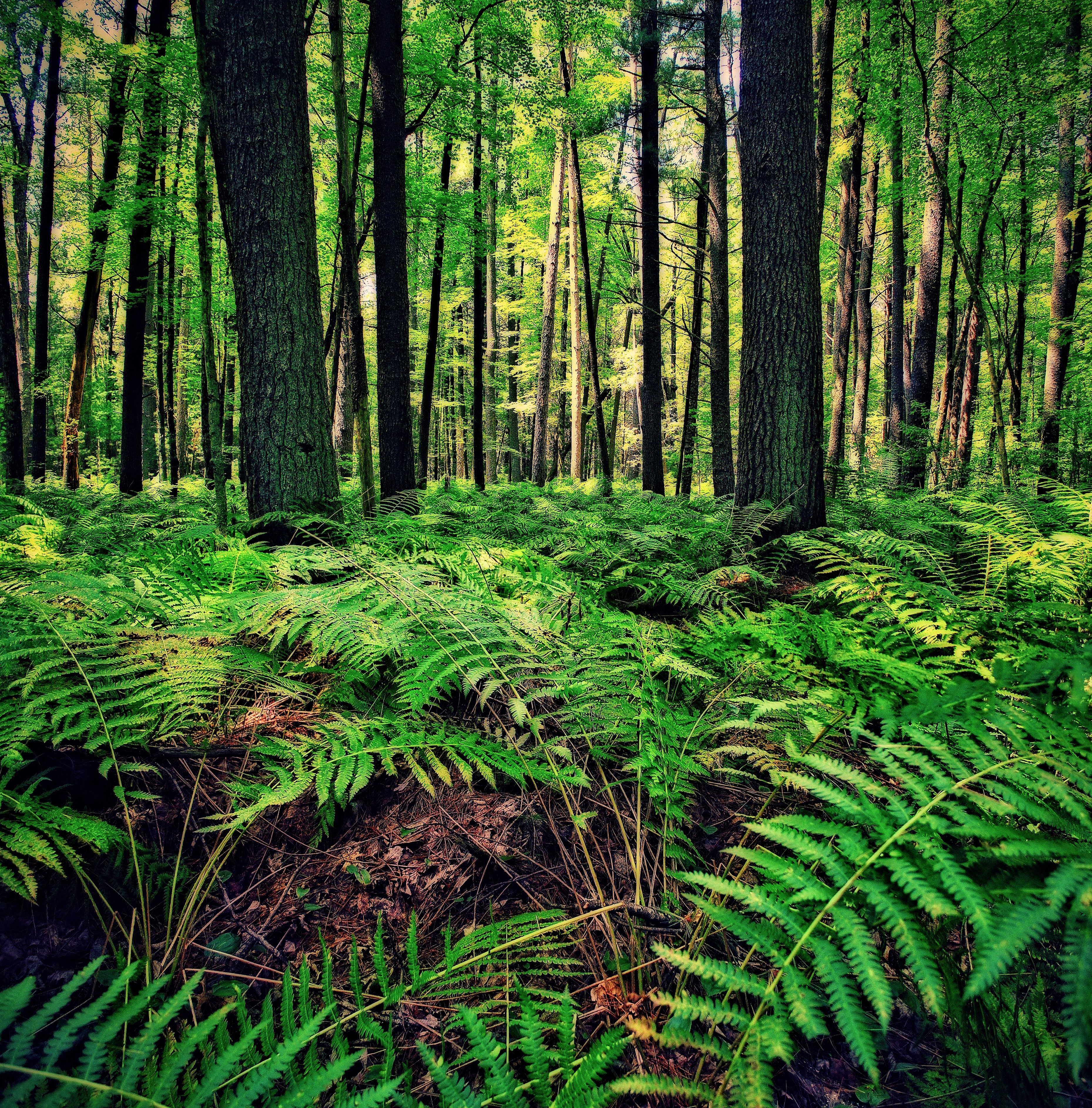
Robinson Creek Pines State Natural Area
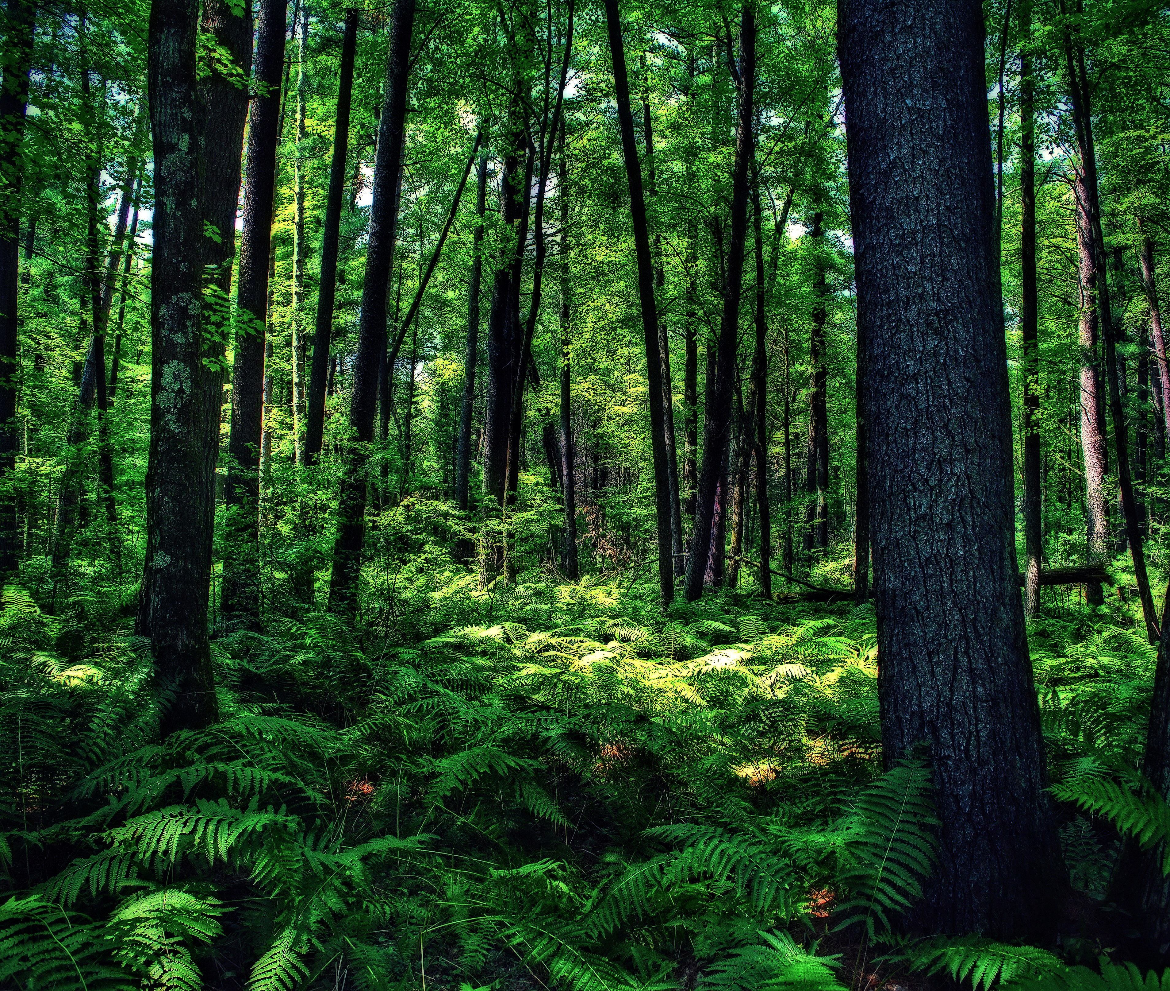
Jay Creek Pine Forest State Natural Area
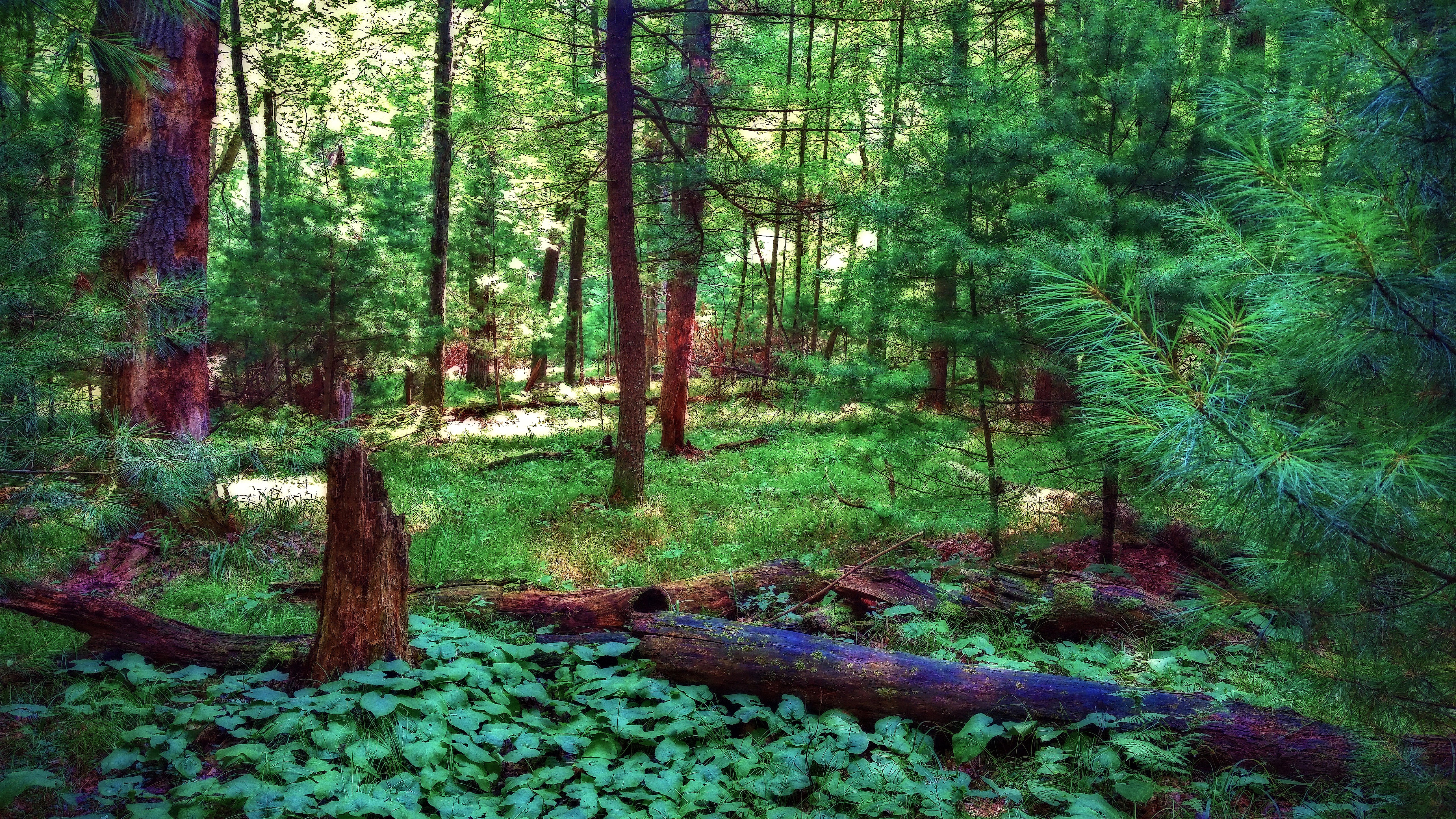
Jay Creek Pine Forest State Natural Area
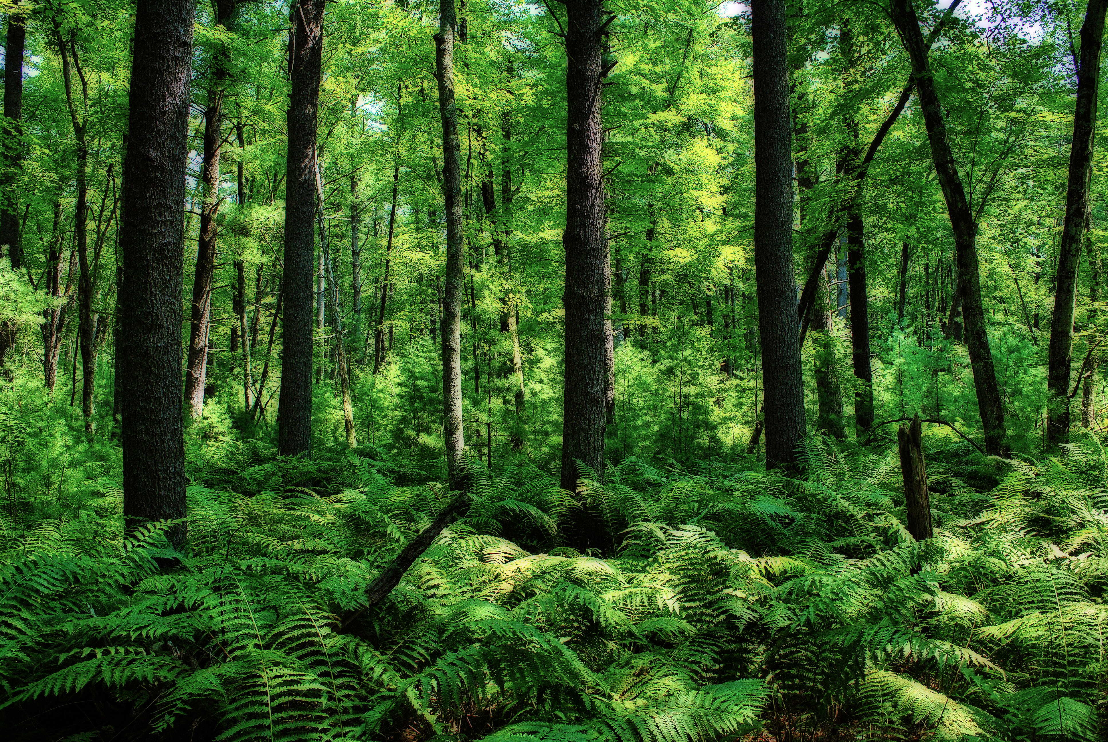
Jay Creek Pine Forest State Natural Area
Jay Creek Pine Forest State Natural Area
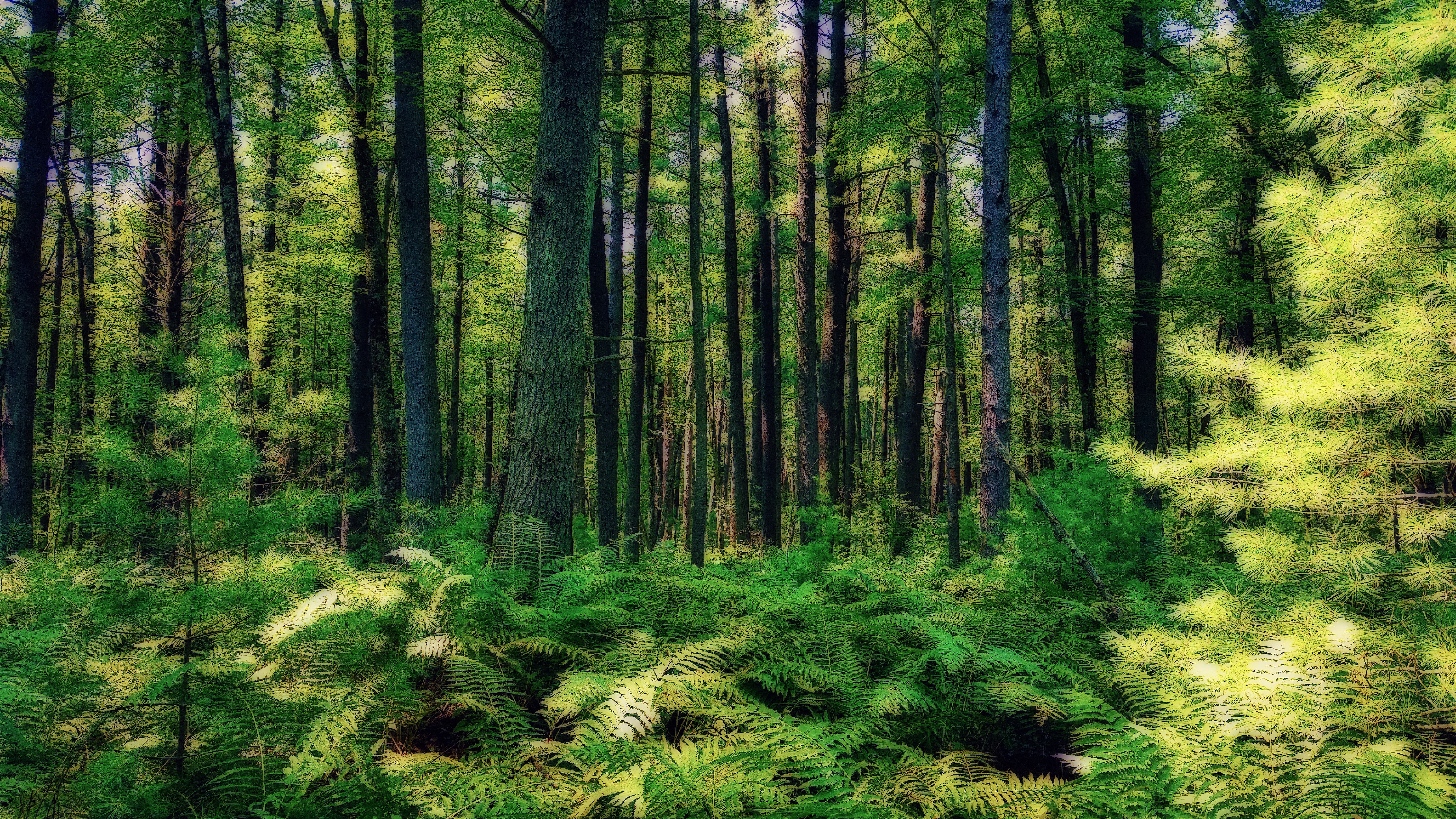
Jay Creek Pine Forest State Natural Area
HDR Photos-35
Jay Creek Pine Forest State Natural Area
Day 004
Topographic Map of US-12, Black River Falls, WI, USA
Find elevation by address:

Places near US-12, Black River Falls, WI, USA:
7961 County Rd O
Millston
Manchester
Warrens
Brockway
Lafayette
Fort Mccoy
W8813
WI-21, Tomah, WI, USA
N3595
W10003
Flaten Ave, Tomah, WI, USA
620 Gebhardt Rd
21768 Co Hwy Et
Canton Rd, Sparta, WI, USA
Jackson County
Black River Falls
405 Wi-54 Trunk
La Grange
815 N Superior Ave
Recent Searches:
- Elevation of Corso Fratelli Cairoli, 35, Macerata MC, Italy
- Elevation of Tallevast Rd, Sarasota, FL, USA
- Elevation of 4th St E, Sonoma, CA, USA
- Elevation of Black Hollow Rd, Pennsdale, PA, USA
- Elevation of Oakland Ave, Williamsport, PA, USA
- Elevation of Pedrógão Grande, Portugal
- Elevation of Klee Dr, Martinsburg, WV, USA
- Elevation of Via Roma, Pieranica CR, Italy
- Elevation of Tavkvetili Mountain, Georgia
- Elevation of Hartfords Bluff Cir, Mt Pleasant, SC, USA