Elevation of Urou-et-Crennes, France
Location: France > Normandy > Orne >
Longitude: 0.0159558
Latitude: 48.7542888
Elevation: 174m / 571feet
Barometric Pressure: 99KPa
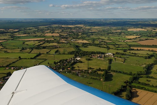
Elevation Map:
Satellite Map:
Related Photos:
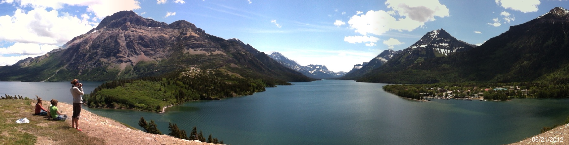
GNP: Waterton Lakes National Park

Copenhagen Nyhavn Street South

Through Argentan station
View from Hill 262 North
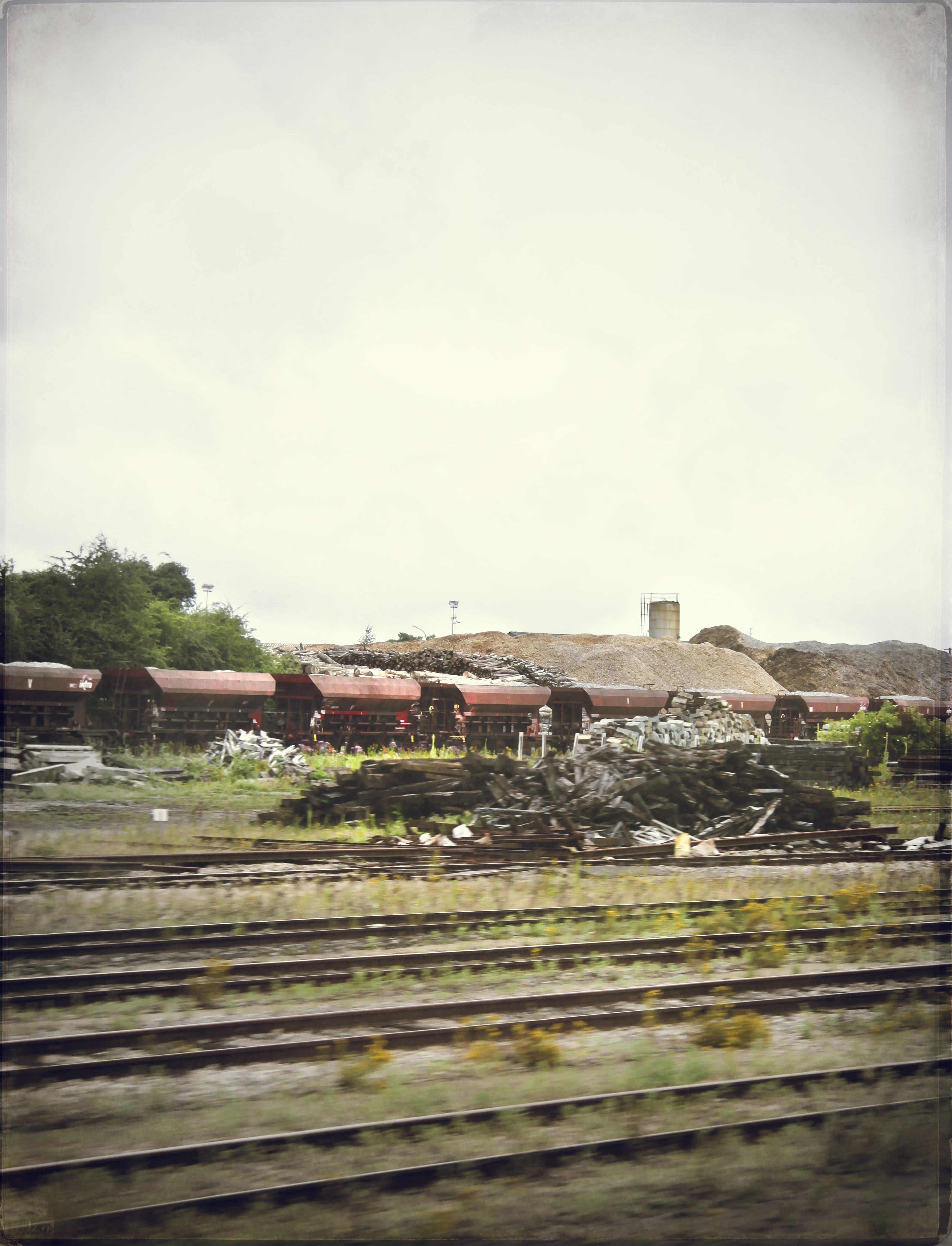
Through Argentan station
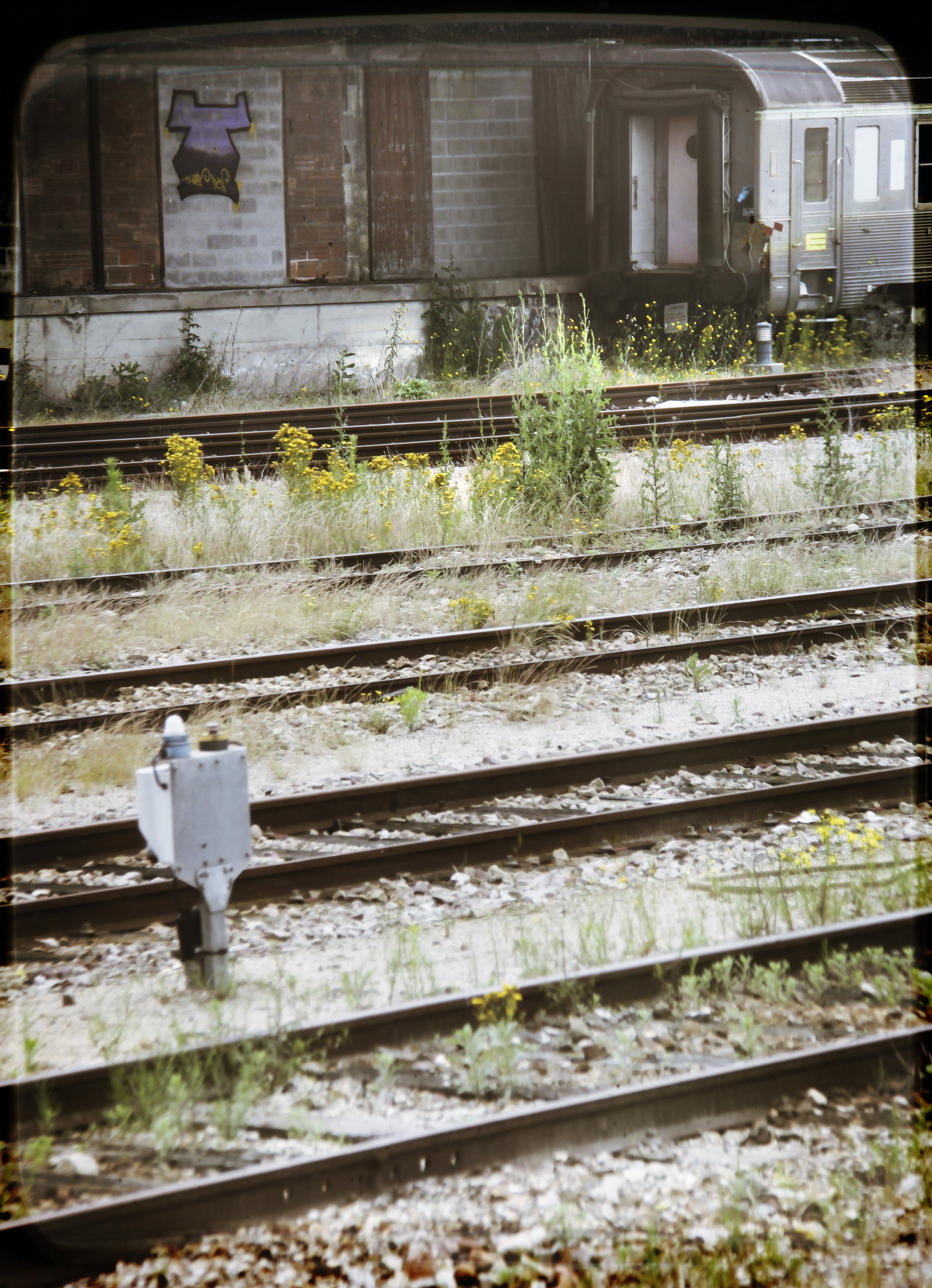
Through Argentan station
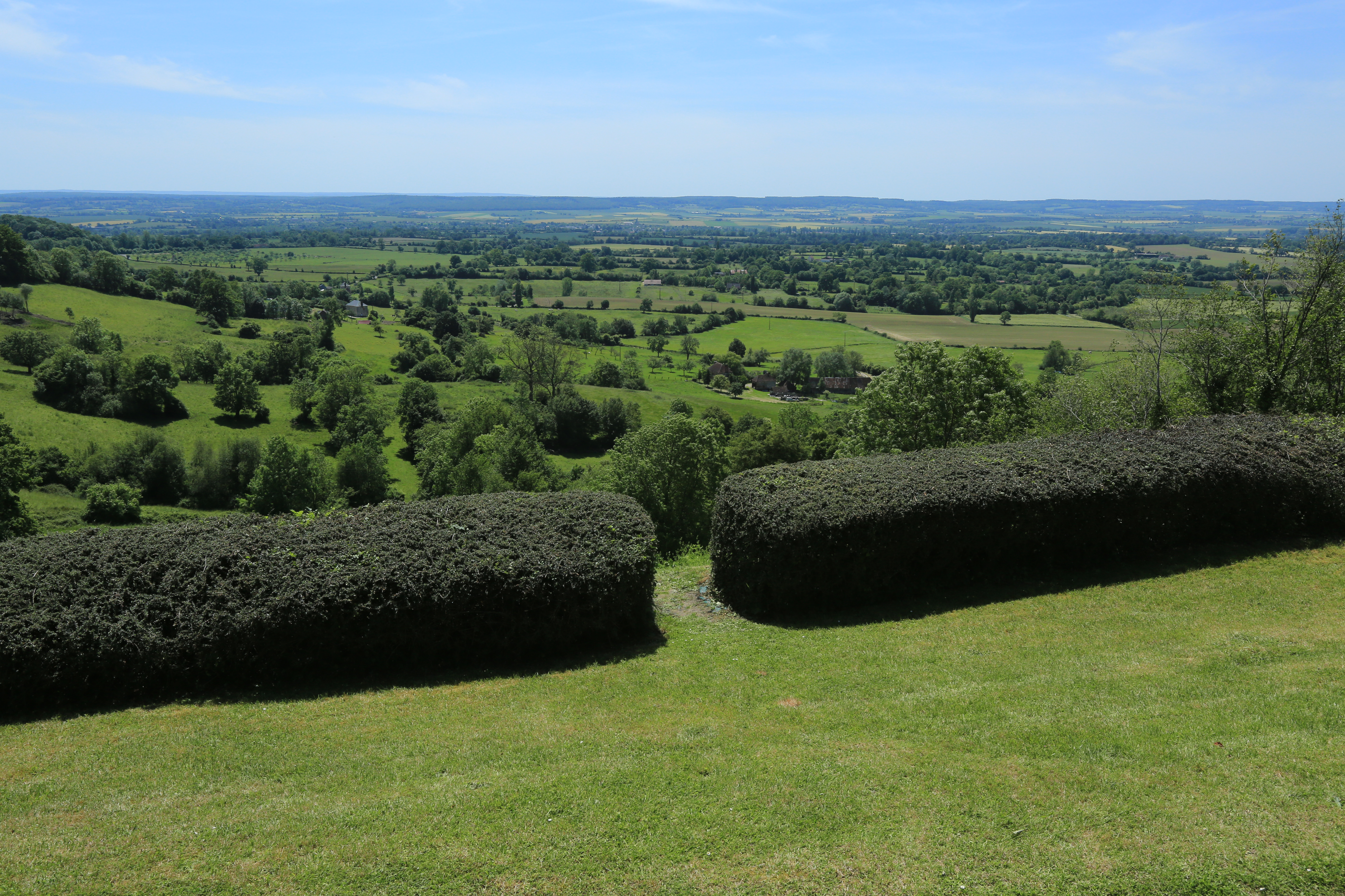
Bocage normand

Through Argentan station
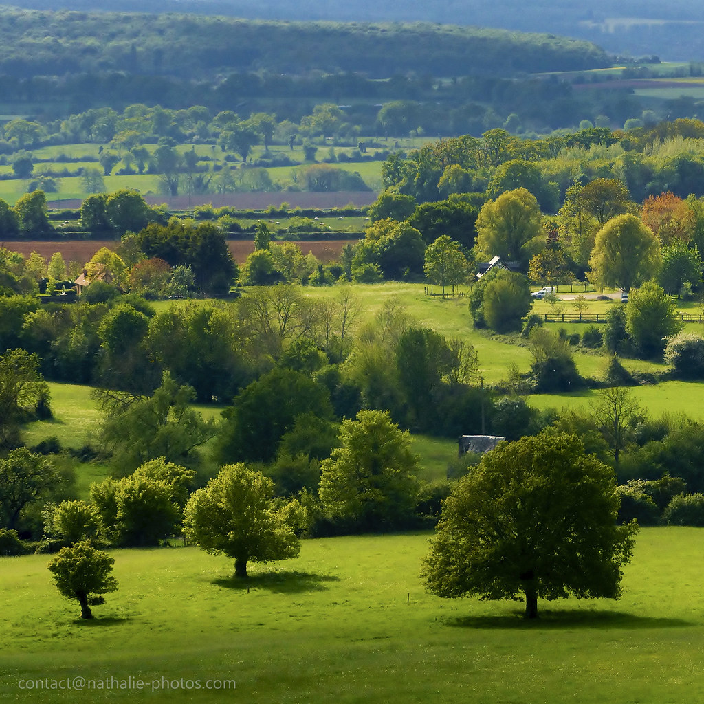
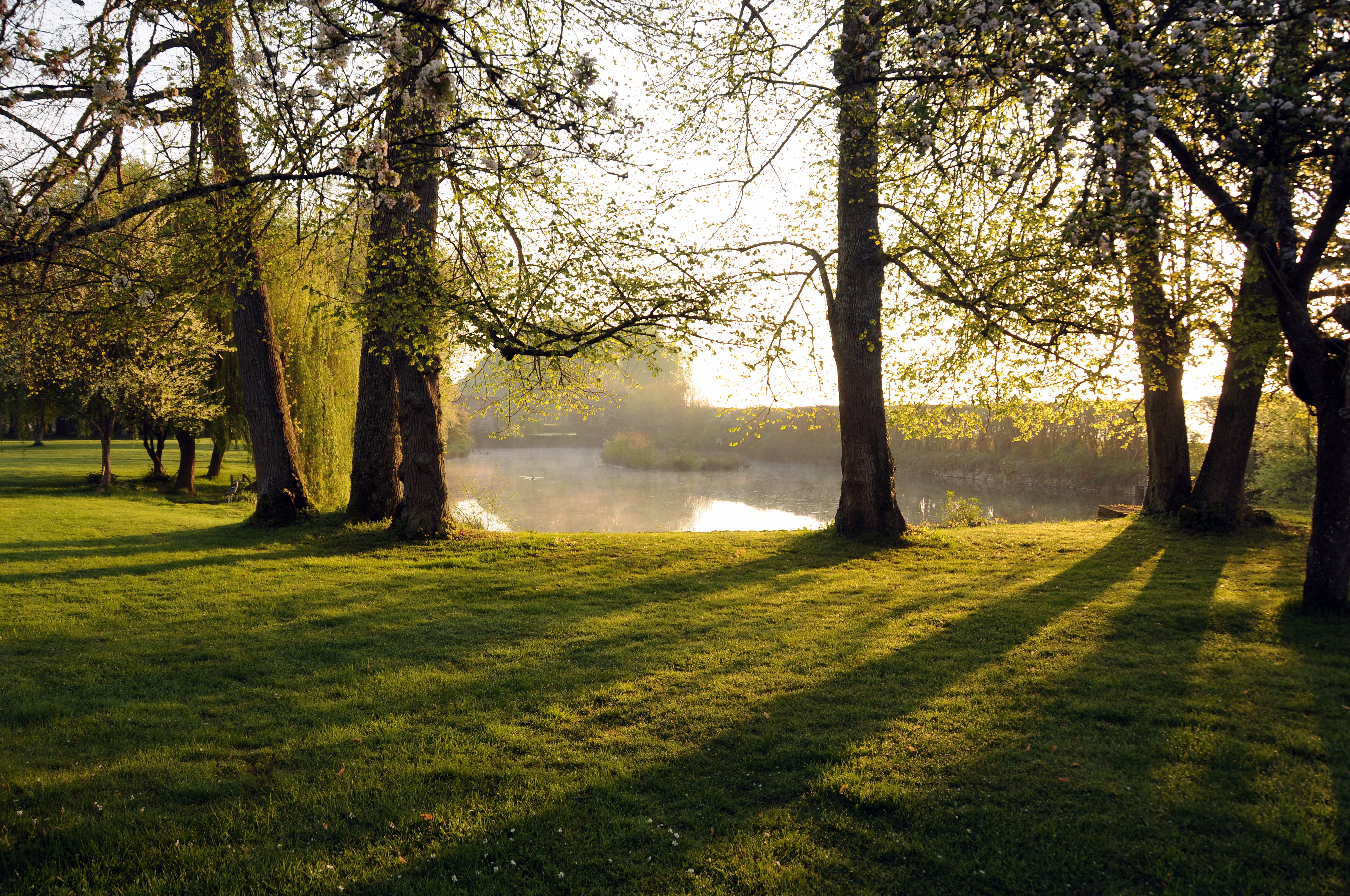
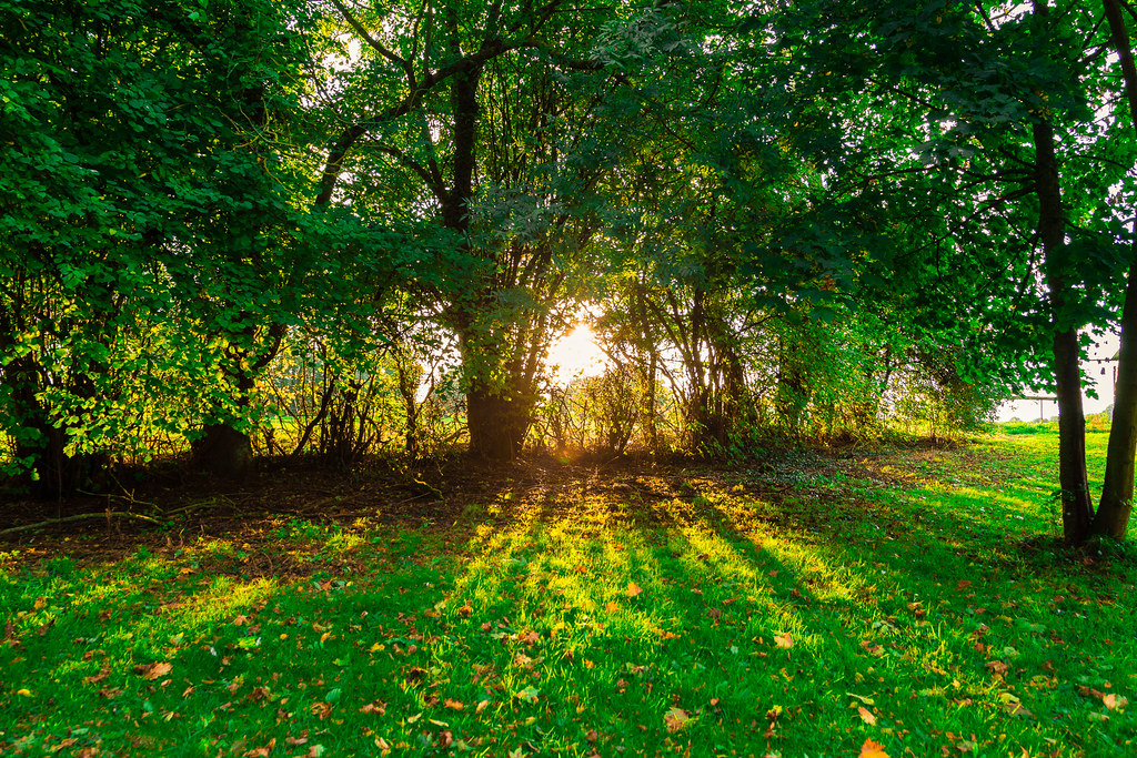
Normandy Green Landscape

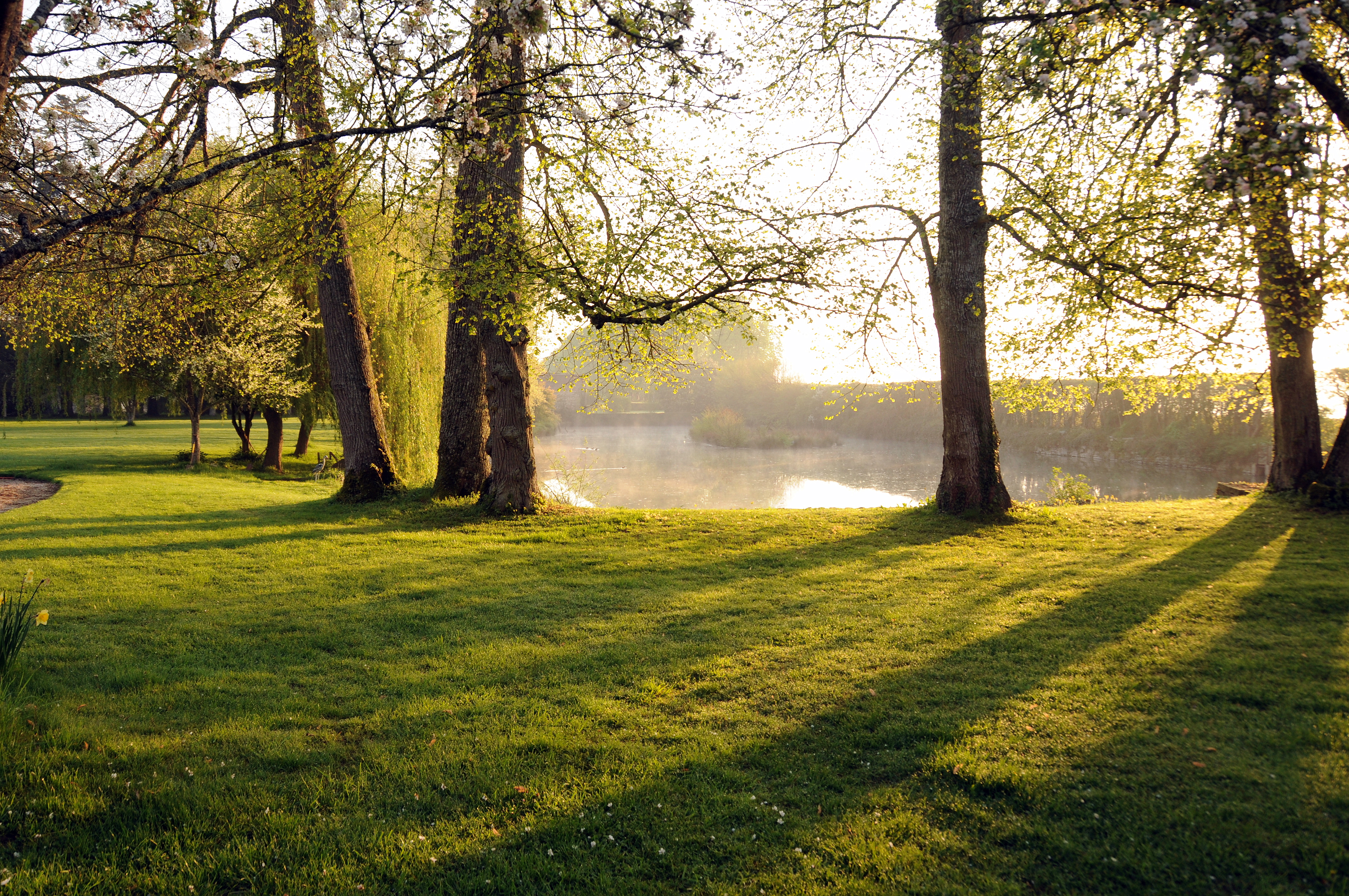
Normandy Sunrise

Sunrise Magic Colors
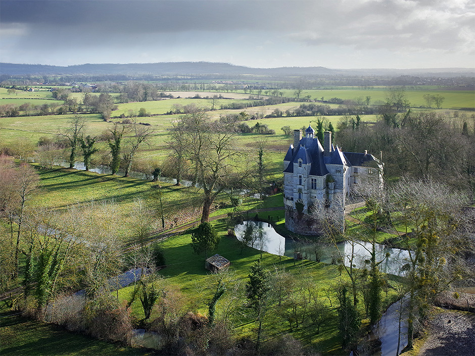
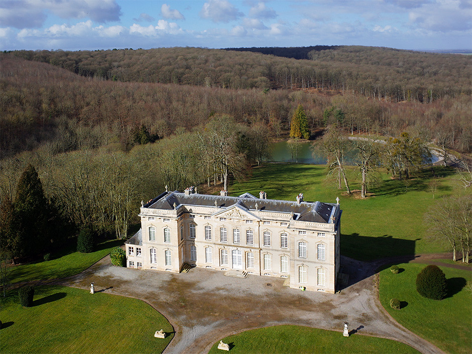
Château d'Aubry-en-Exmes (Orne-FR)

First Sunset 2015

16 août 2011 x 4776 Train 766243 Alençon -> Argentan Argentan (61)
Interesting weather

Hazel tree, noisetier tortueux
Normandy 12-04-2011 8-08-20 a.m..JPG
Normandy 10-04-2011 4-07-53 p.m..JPG
Sevrai Chevaux couleurs IMG_5604

Normandy Landscape
Normandy 12-04-2011 8-08-39 a.m..JPG

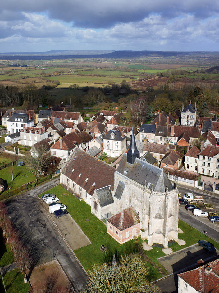
Eglise Saint-Martin de la Courbe (Orne-FR)

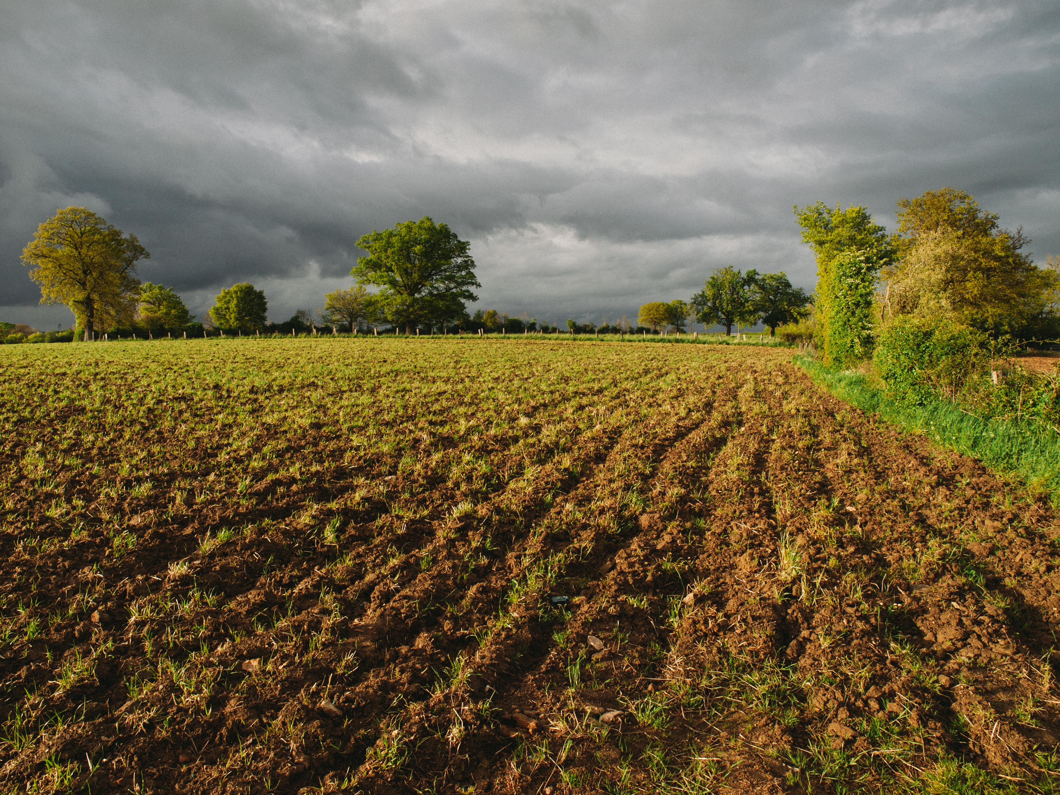
Field, Normandy
Château du Bourg Saint Leonard (Orne-FR)
Sun Rays
Eglise Saint André à Exmes (Orne-FR)
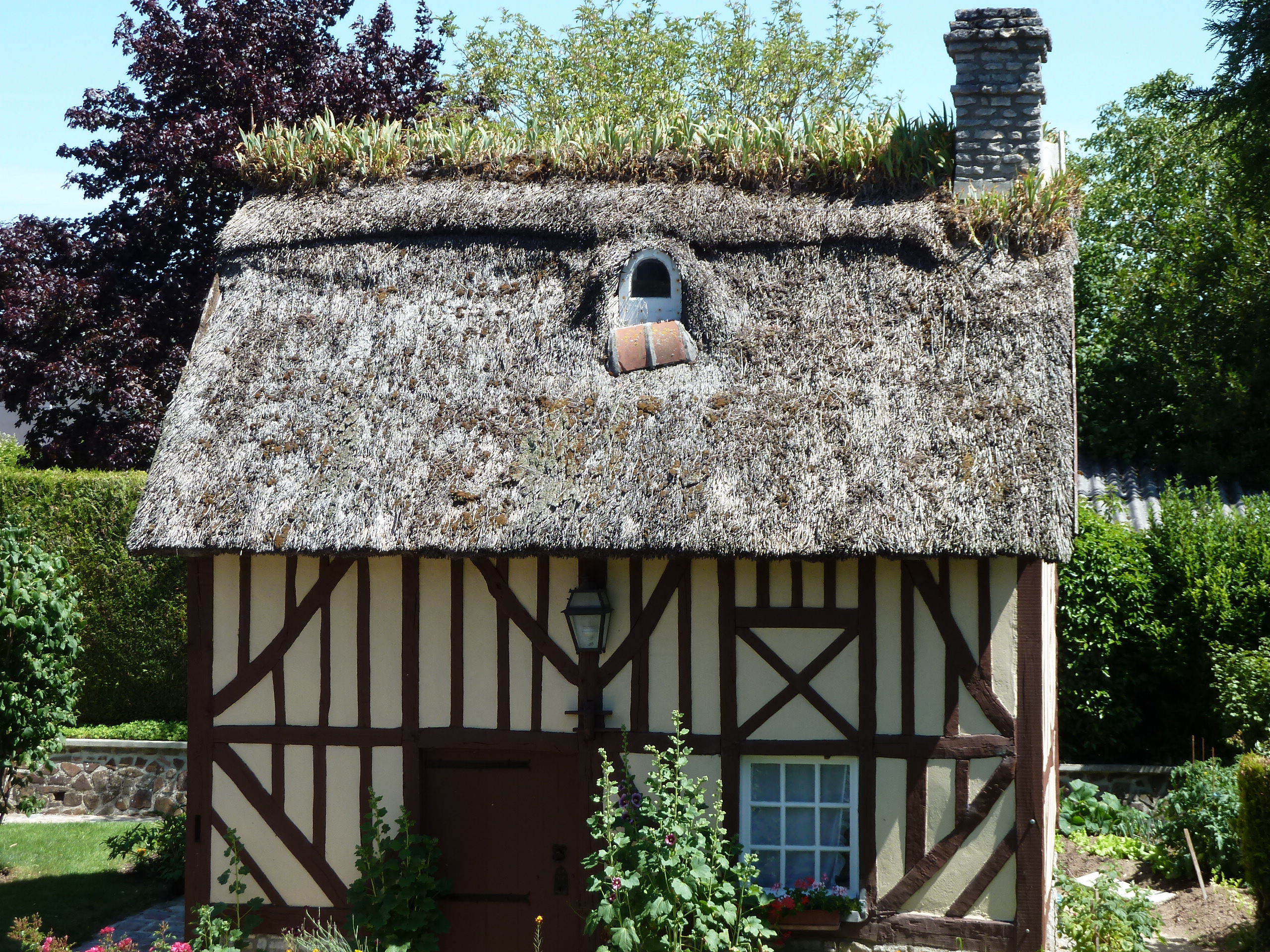
Maison normande d'Argentan
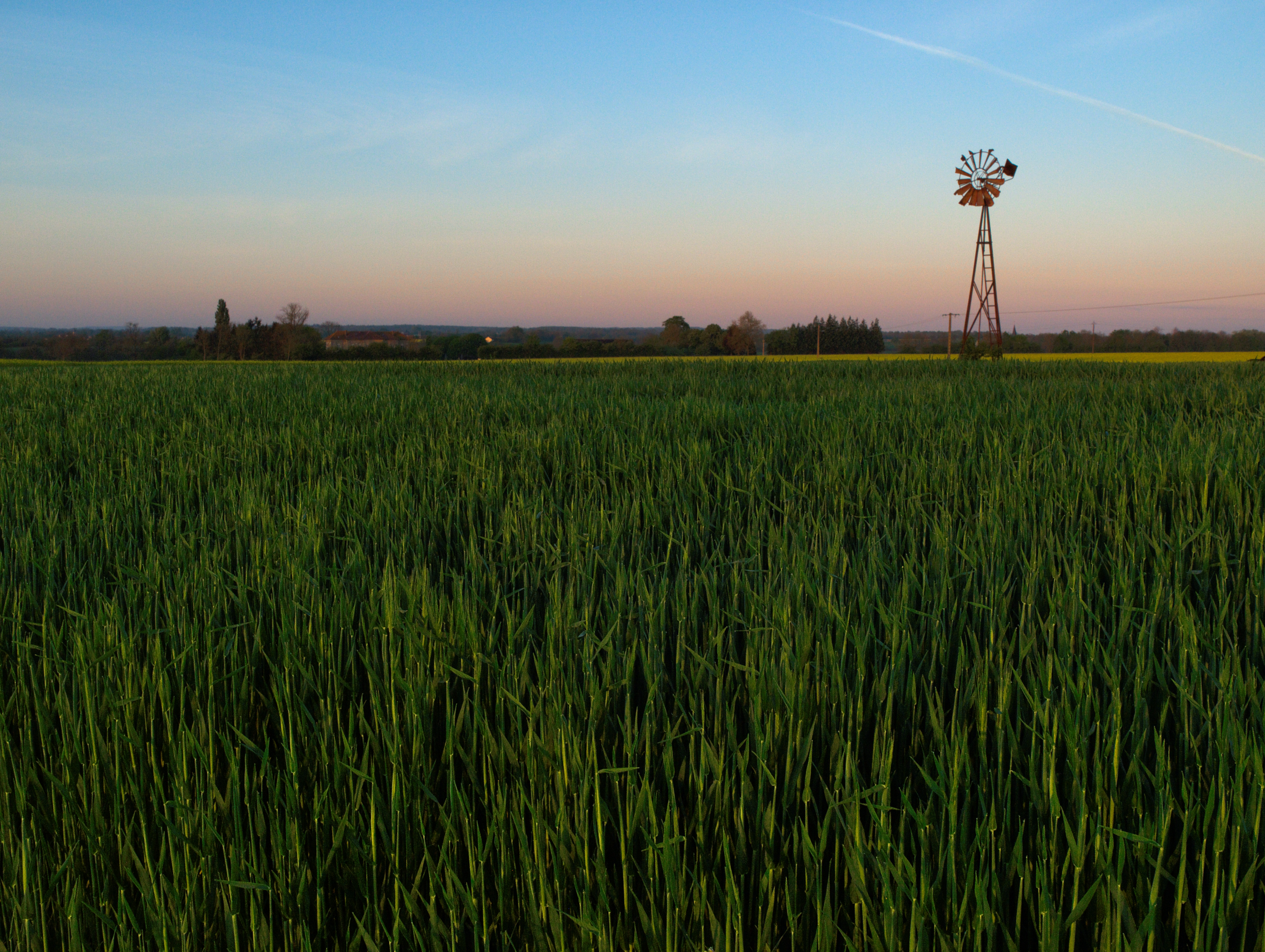
Windpump at sunrise
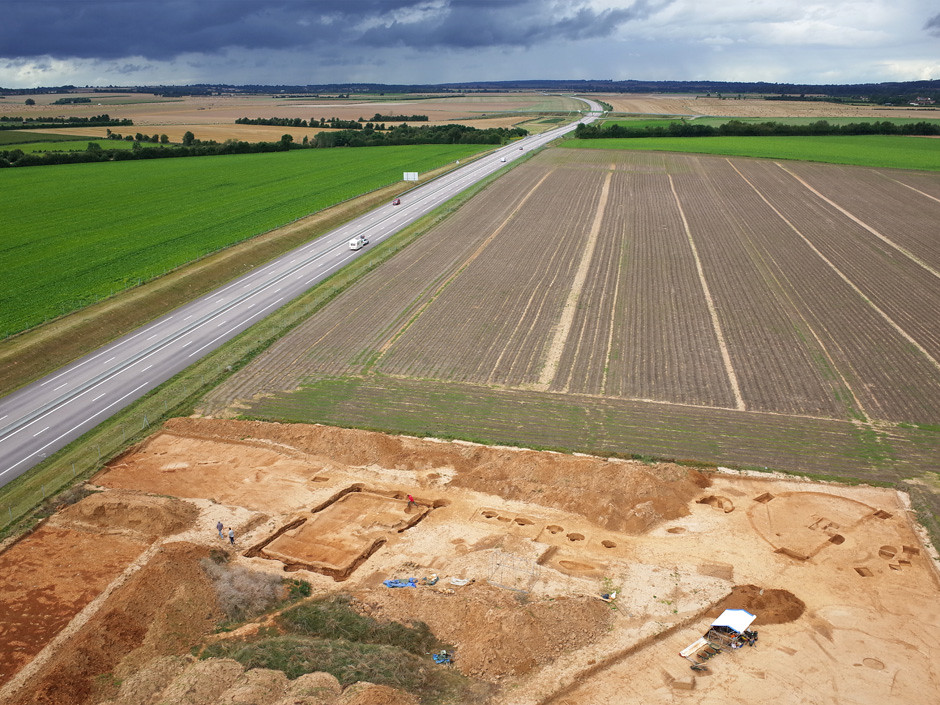
Chantier archéologique à Goulet (Orne-FR)
Topographic Map of Urou-et-Crennes, France
Find elevation by address:

Places in Urou-et-Crennes, France:
Places near Urou-et-Crennes, France:
1 Chemin de l'Église, Urou-et-Crennes, France
Orne
Normandy
Camembert
92 La Roussière, Canapville, France
Livarot
Boitron
Canapville
La Cour de Boitron, Boitron, France
Chaumont
Cerisé
La Cour, Cerisé, France
Le Chevain
A28
Saint Paterne - Le Chevain
19 Launay, Chaumont, France
Les Monceaux
Villeneuve-en-perseigne
Cambremer
2 Le Bourg, Villeneuve-en-Perseigne, France
Recent Searches:
- Elevation of Rojo Ct, Atascadero, CA, USA
- Elevation of Flagstaff Drive, Flagstaff Dr, North Carolina, USA
- Elevation of Avery Ln, Lakeland, FL, USA
- Elevation of Woolwine, VA, USA
- Elevation of Lumagwas Diversified Farmers Multi-Purpose Cooperative, Lumagwas, Adtuyon, RV32+MH7, Pangantucan, Bukidnon, Philippines
- Elevation of Homestead Ridge, New Braunfels, TX, USA
- Elevation of Orchard Road, Orchard Rd, Marlborough, NY, USA
- Elevation of 12 Hutchinson Woods Dr, Fletcher, NC, USA
- Elevation of Holloway Ave, San Francisco, CA, USA
- Elevation of Norfolk, NY, USA