Elevation of Upper Plains Rd, Salisbury, VT, USA
Location: United States > Vermont > Addison County > Salisbury >
Longitude: -73.07666
Latitude: 43.957458
Elevation: 235m / 771feet
Barometric Pressure: 99KPa
Elevation Map:
Satellite Map:
Related Photos:

Milky Way over Silver Lake (re-process)
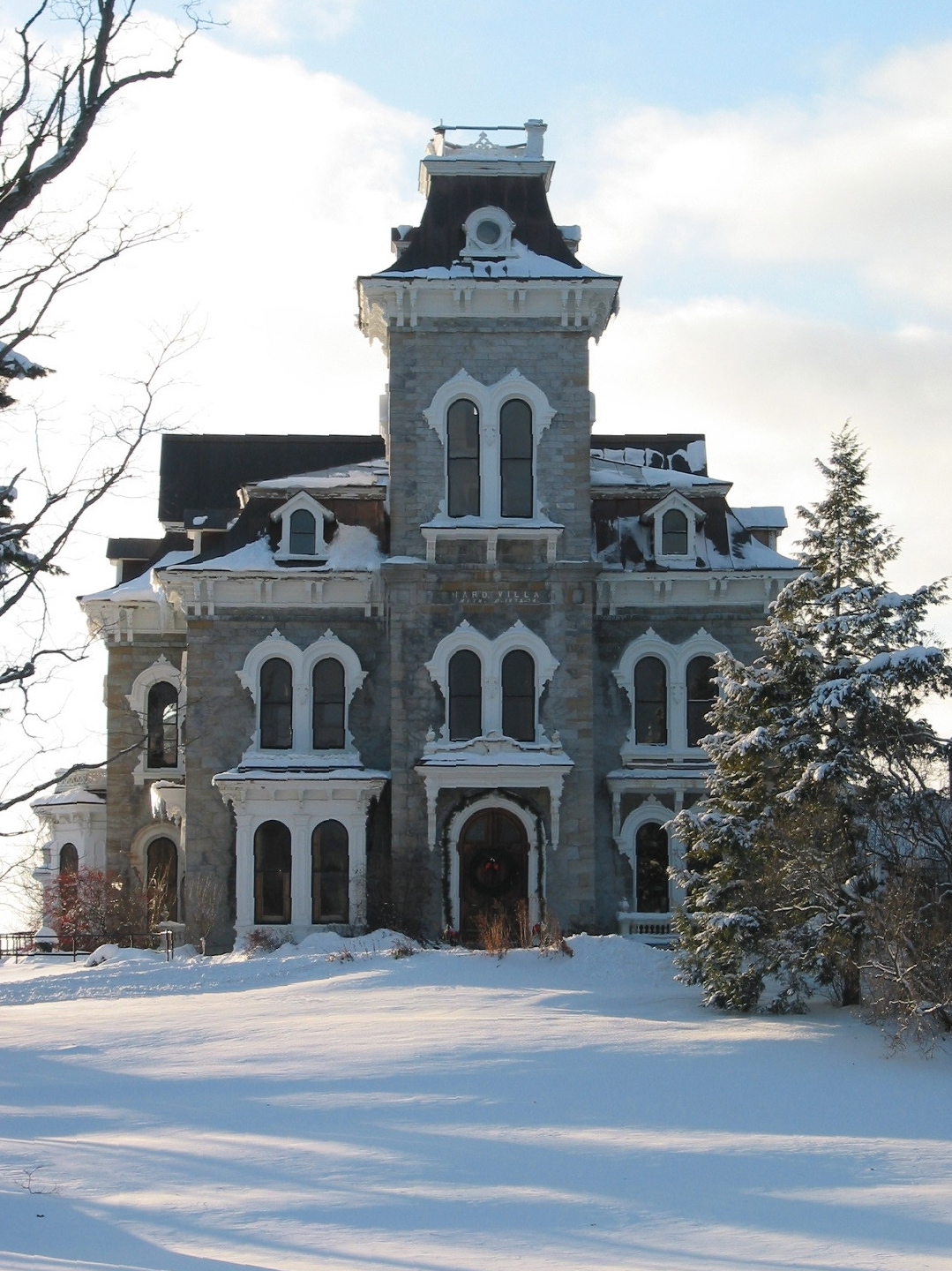
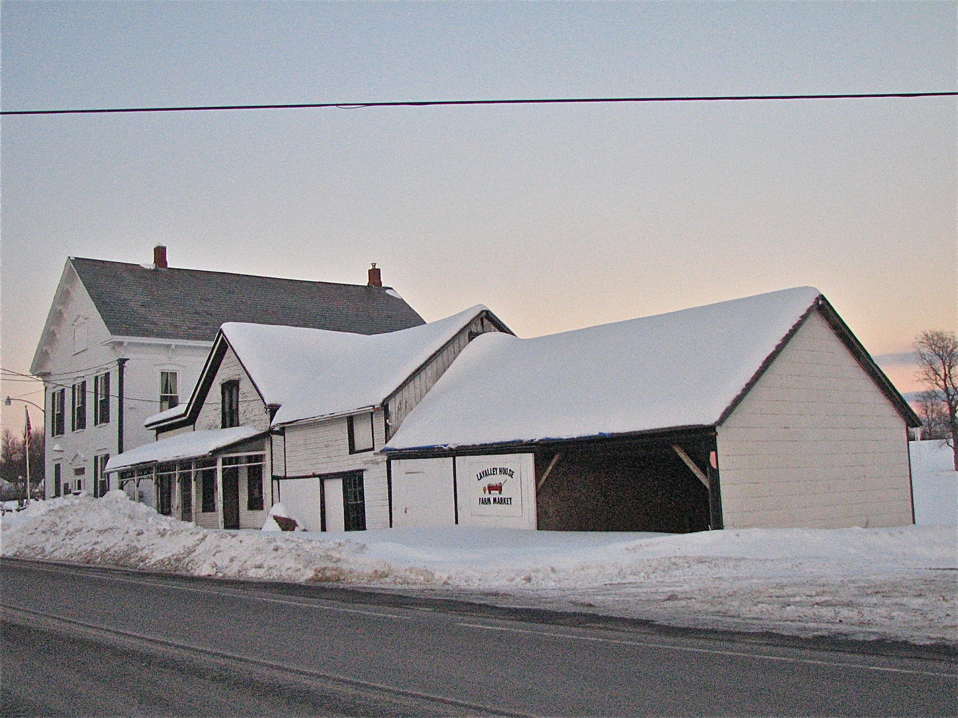
Shard Villa (1872-1874) – Winter views
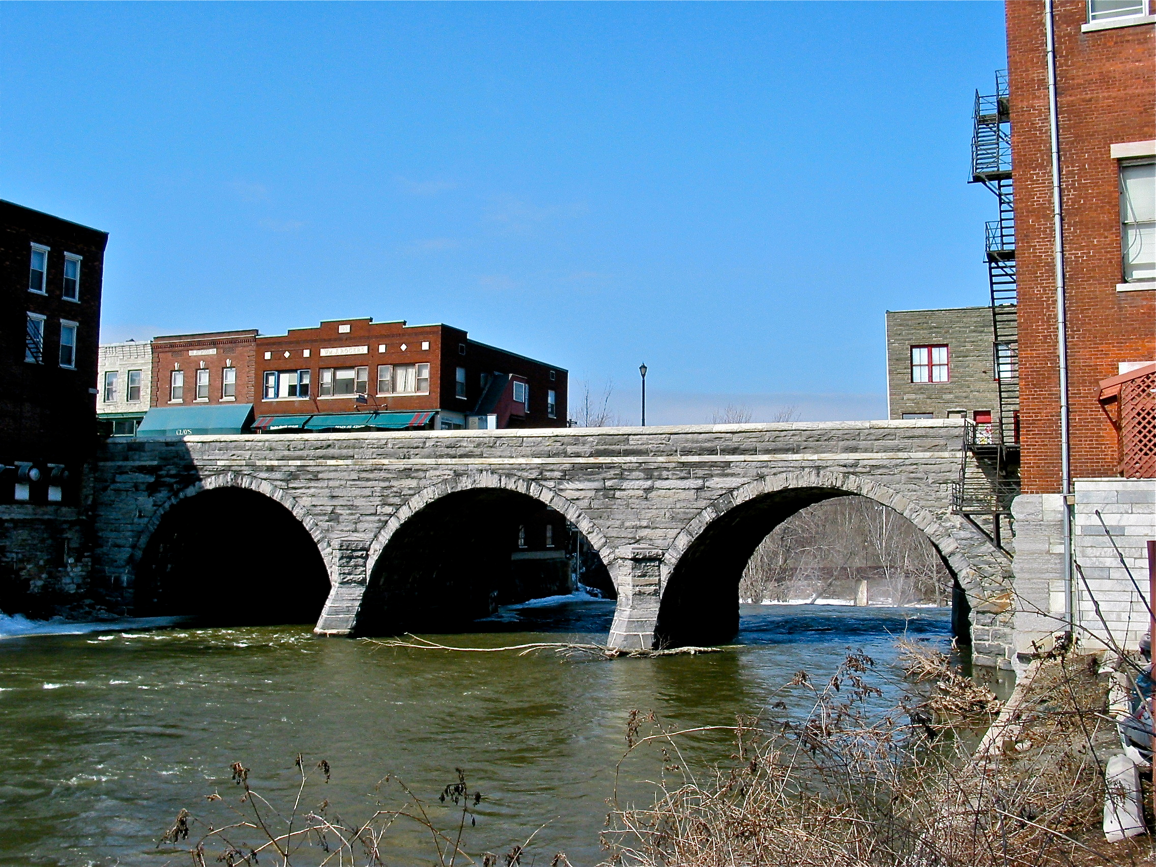
Battell Bridge (1892) – view of the westside
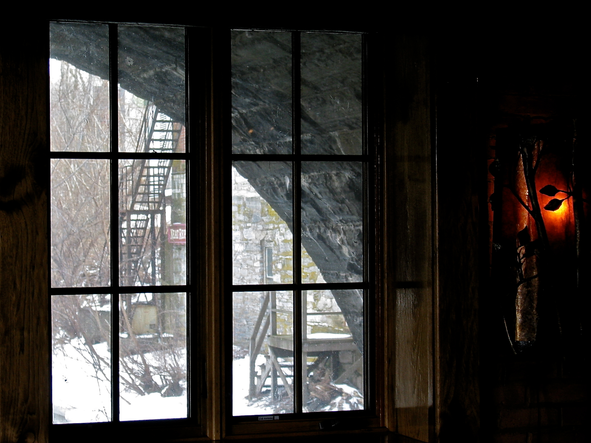
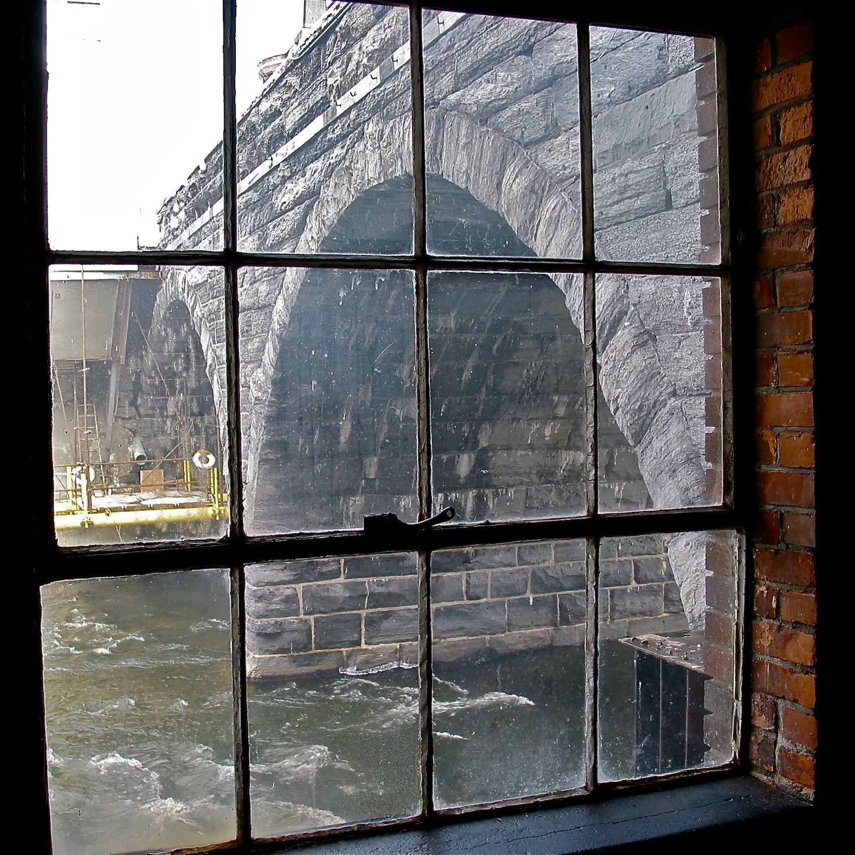
Battell Bridge (1892) – partial view of the south arch
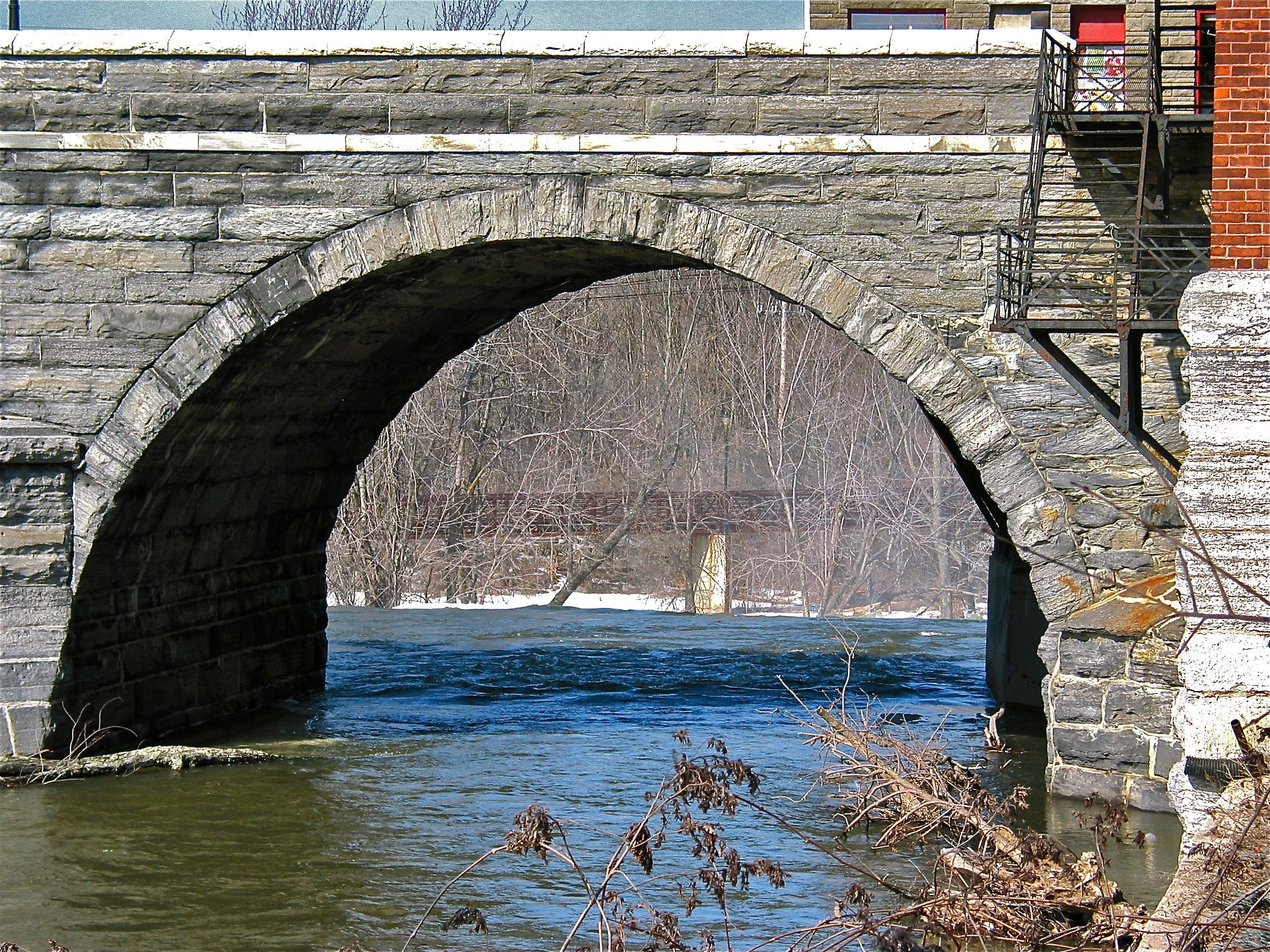
Battell Bridge (1892) – view of the northmost of the three arches, from the westside
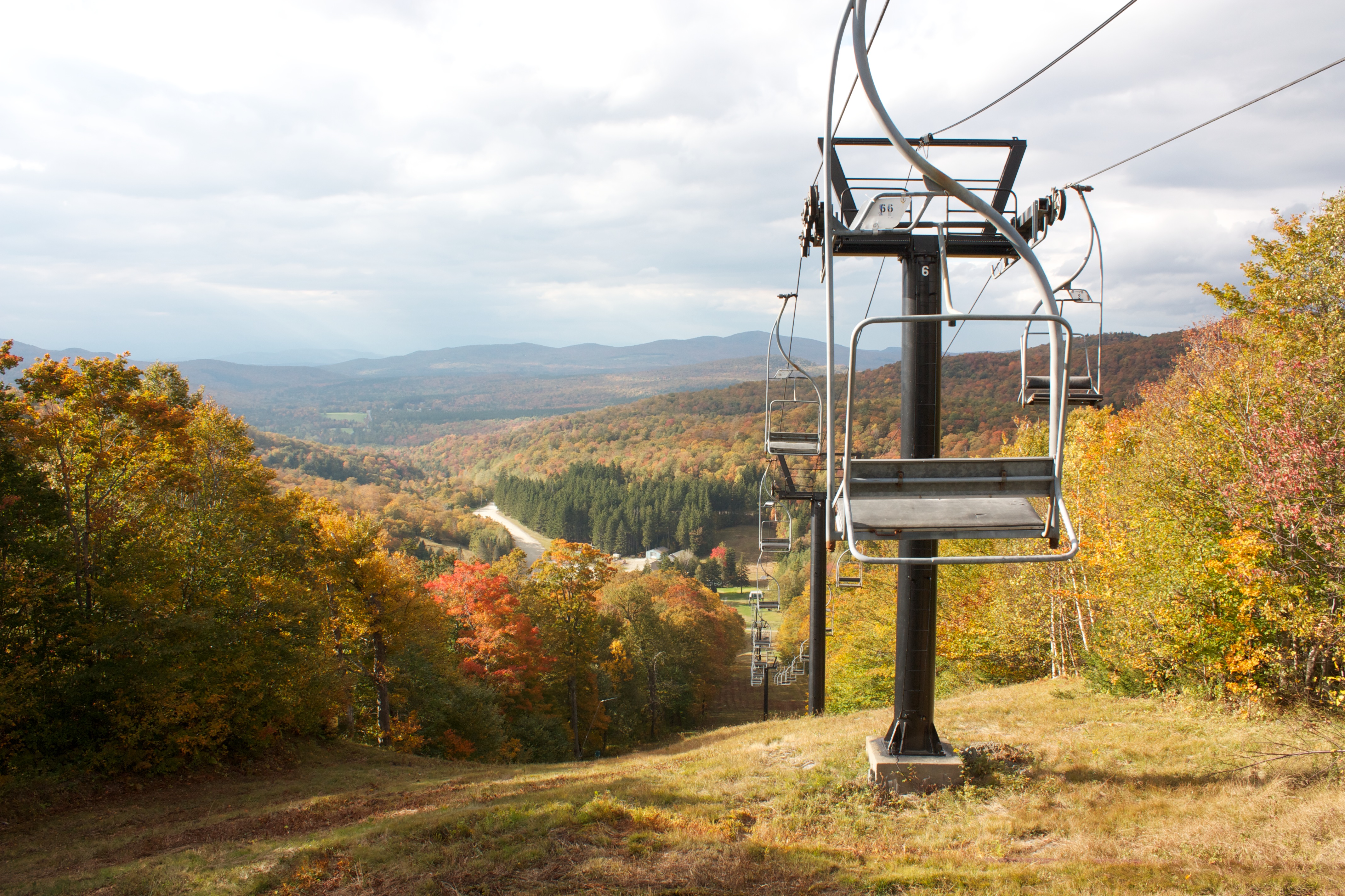
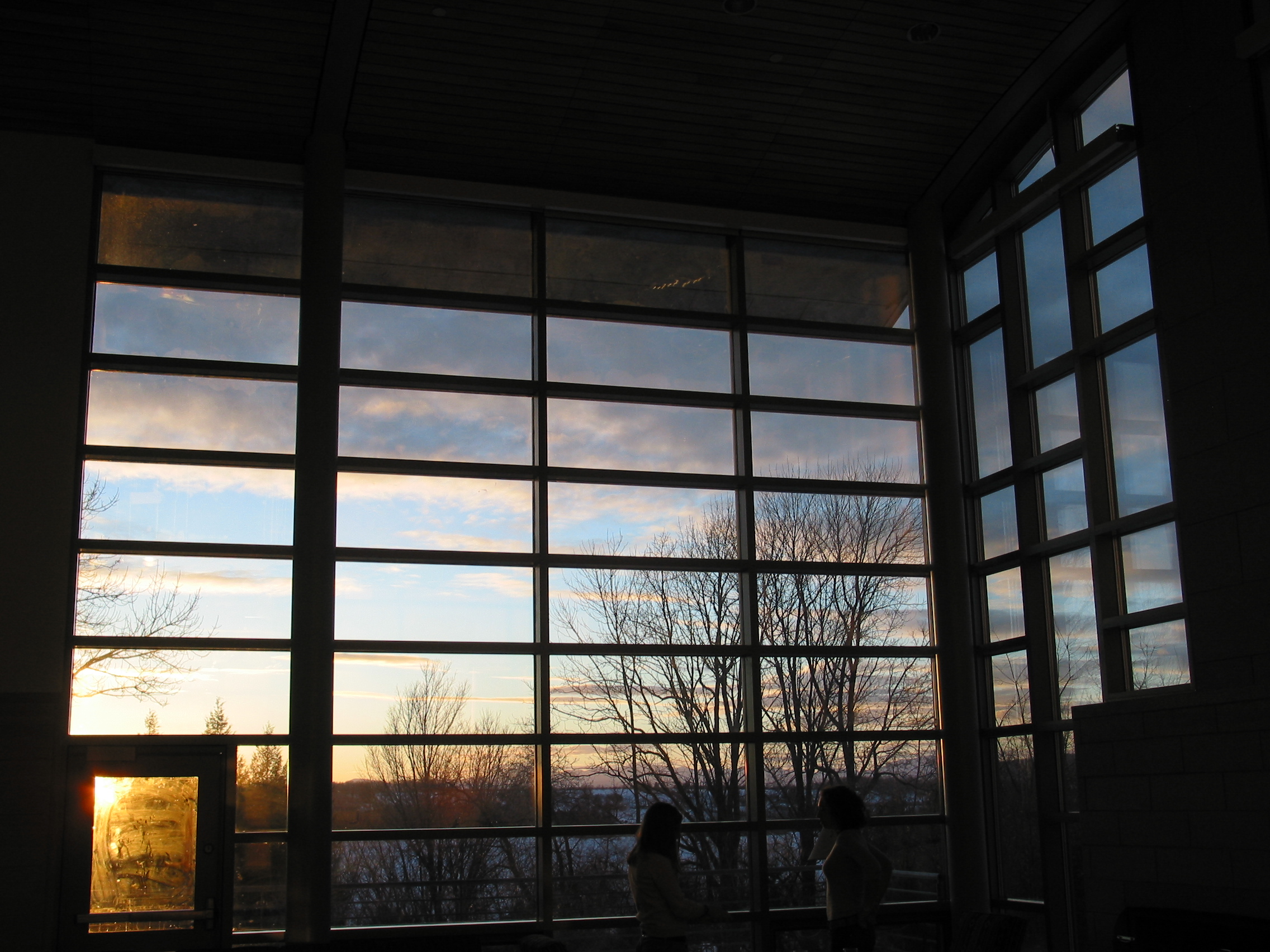
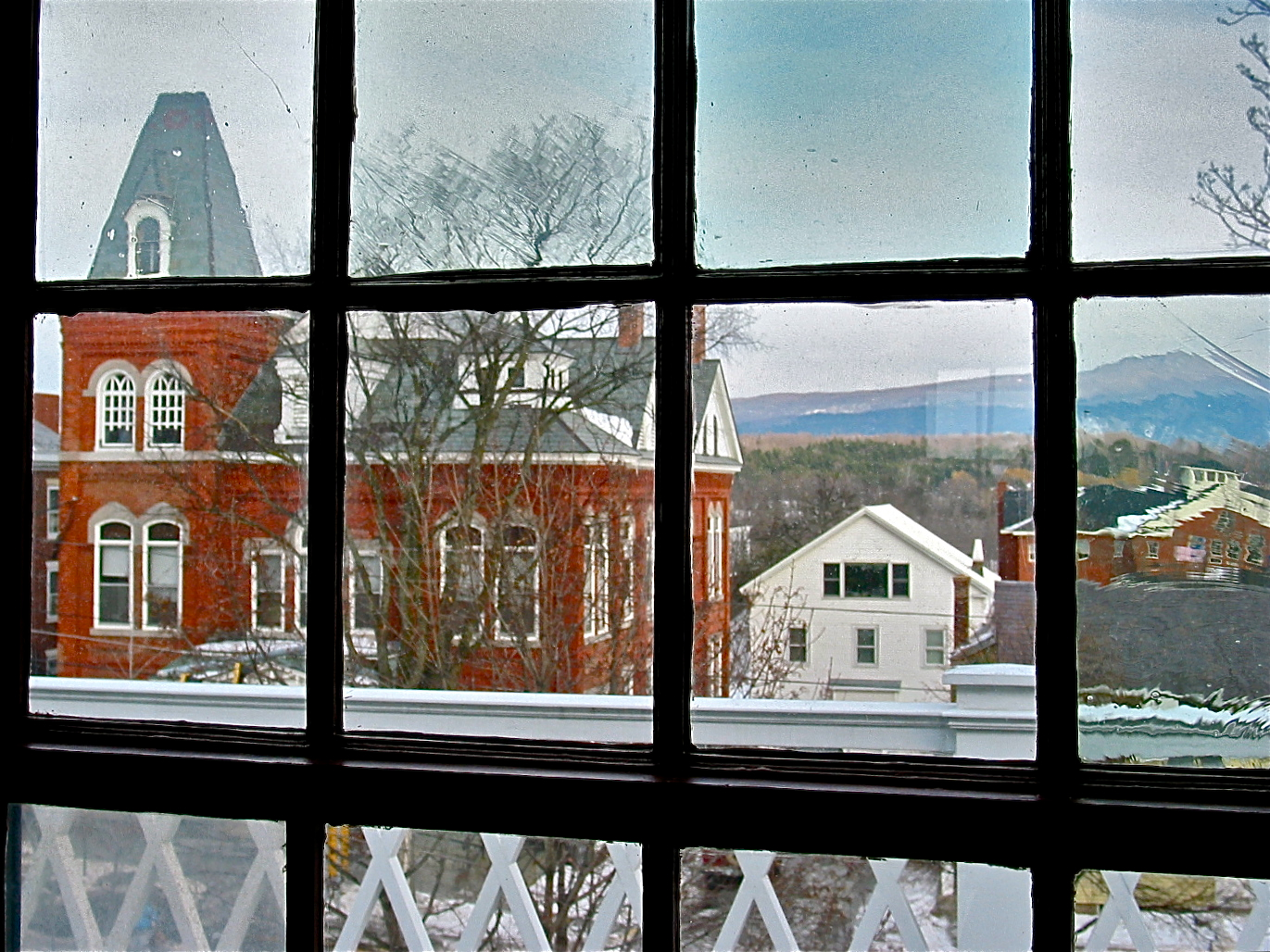
268/365: Transition Time
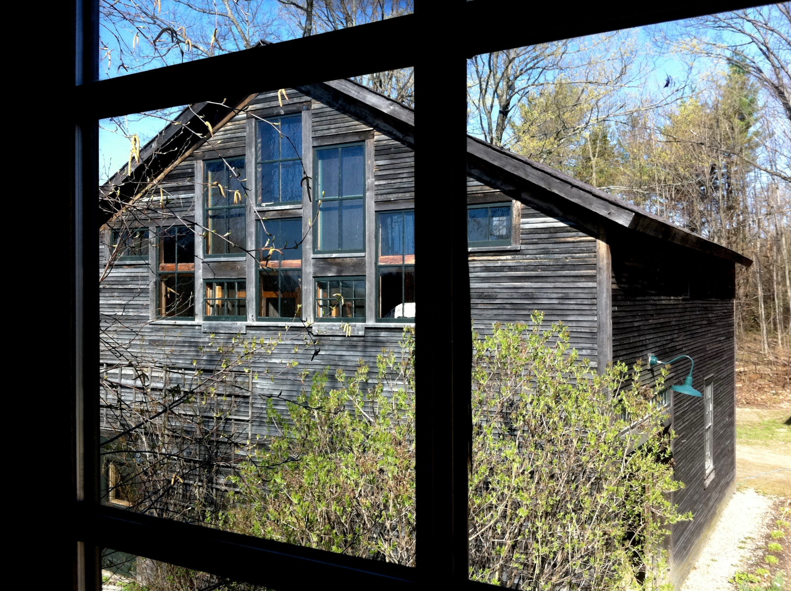
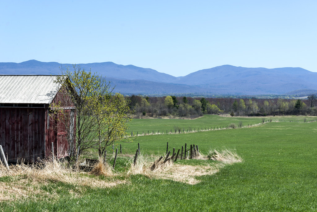
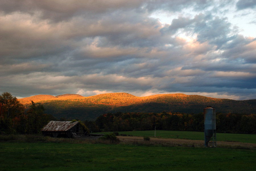
The Barn

35.27
Battell Bridge (1892) – partial view of the center and north arch
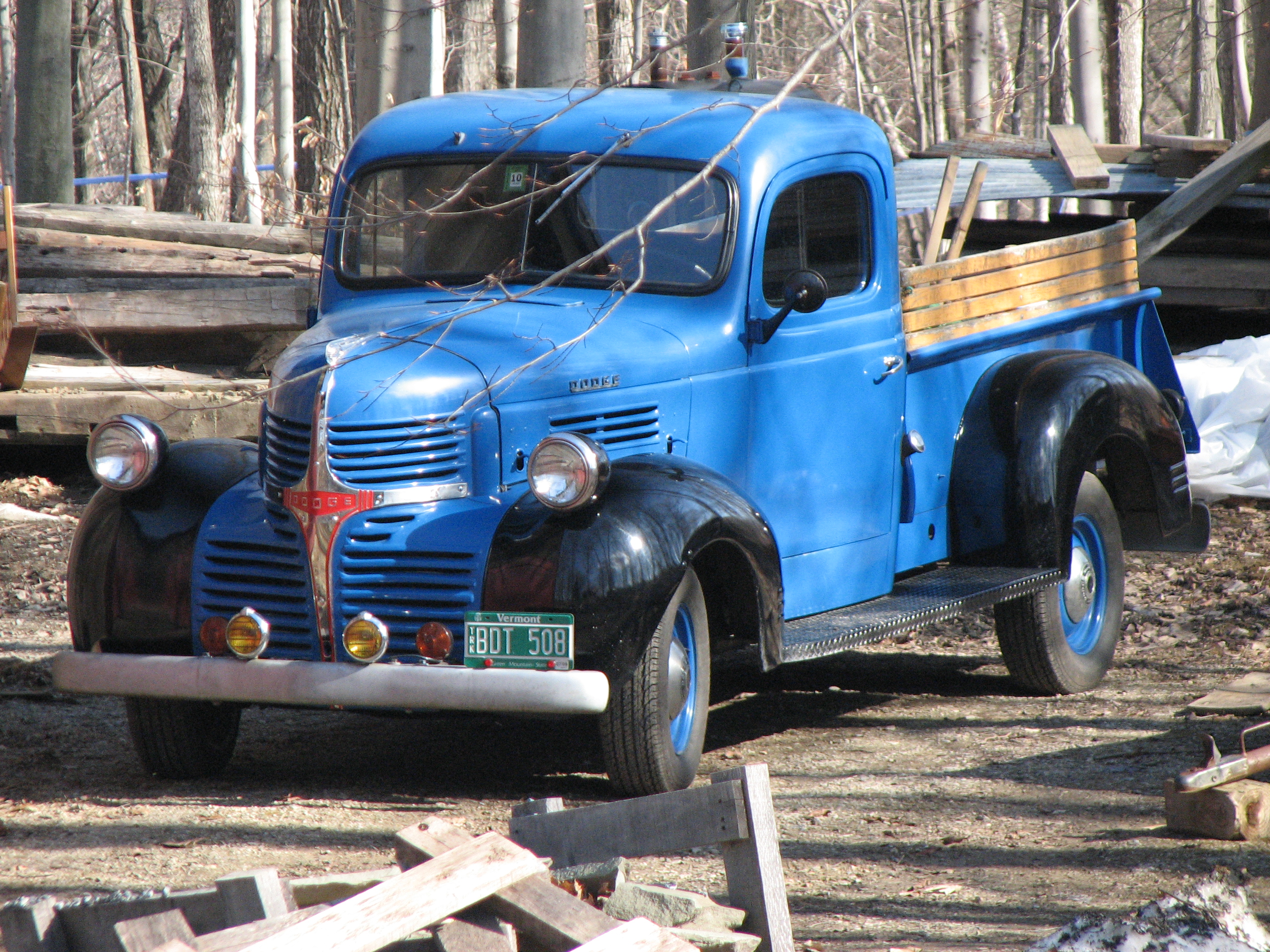
Breadloaf Mountain View Farm (2009) – antique Dodge truck
Cornwall General Store (1880) – winter view
Middlebury College - Ross Commons
Shard Villa (1872-1874) - west view with elder care wing in front
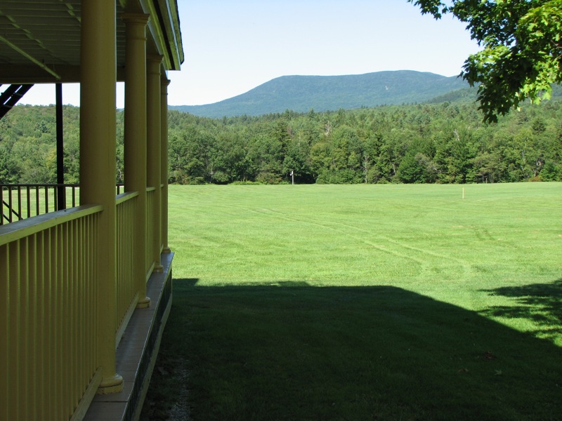
Bread Loaf Dormitory (1935) – view of Bread Loaf Mountain

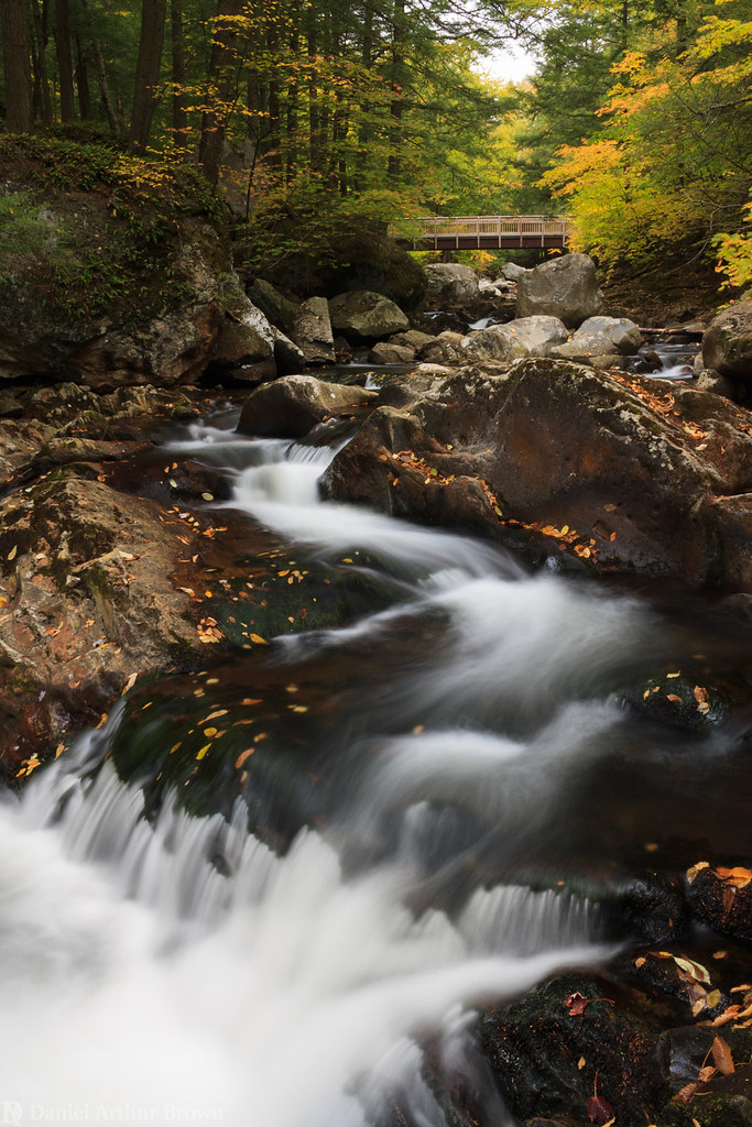
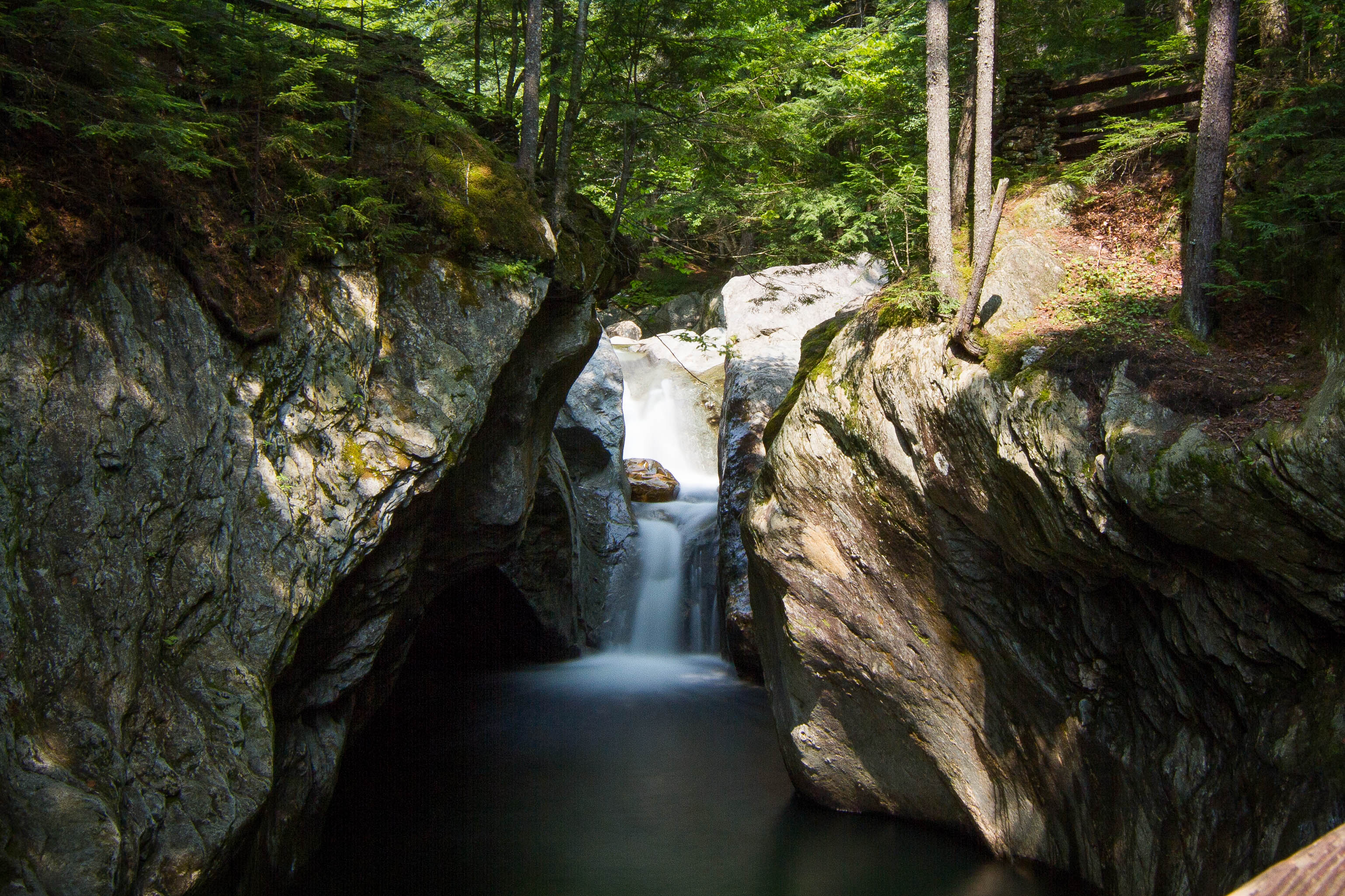
Falls of Lana - Vermont

Big Mountain View to Brandon
Taking a stand
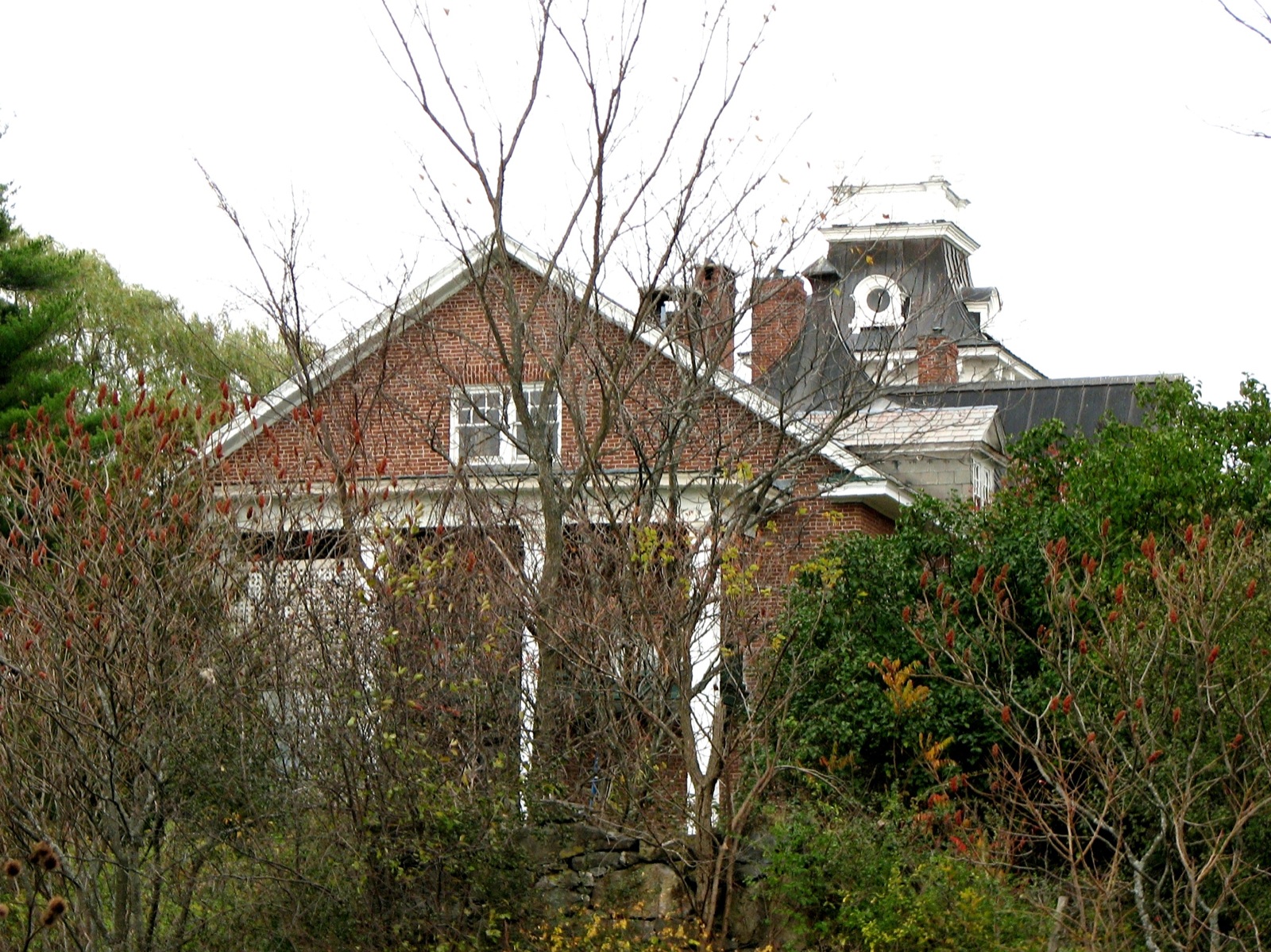
Gamaliel Painter House (1802 / c.1835) – third floor view

We've got a beautiful view of the super moon! #danilasmithwedding #vermontbound #vermont #supermoon

Red-tailed Hawk-VT Rt S 116-4386

Overlooking Lake Dunmore
Rapids on Sucker Brook, Branbury State Park, Vermont

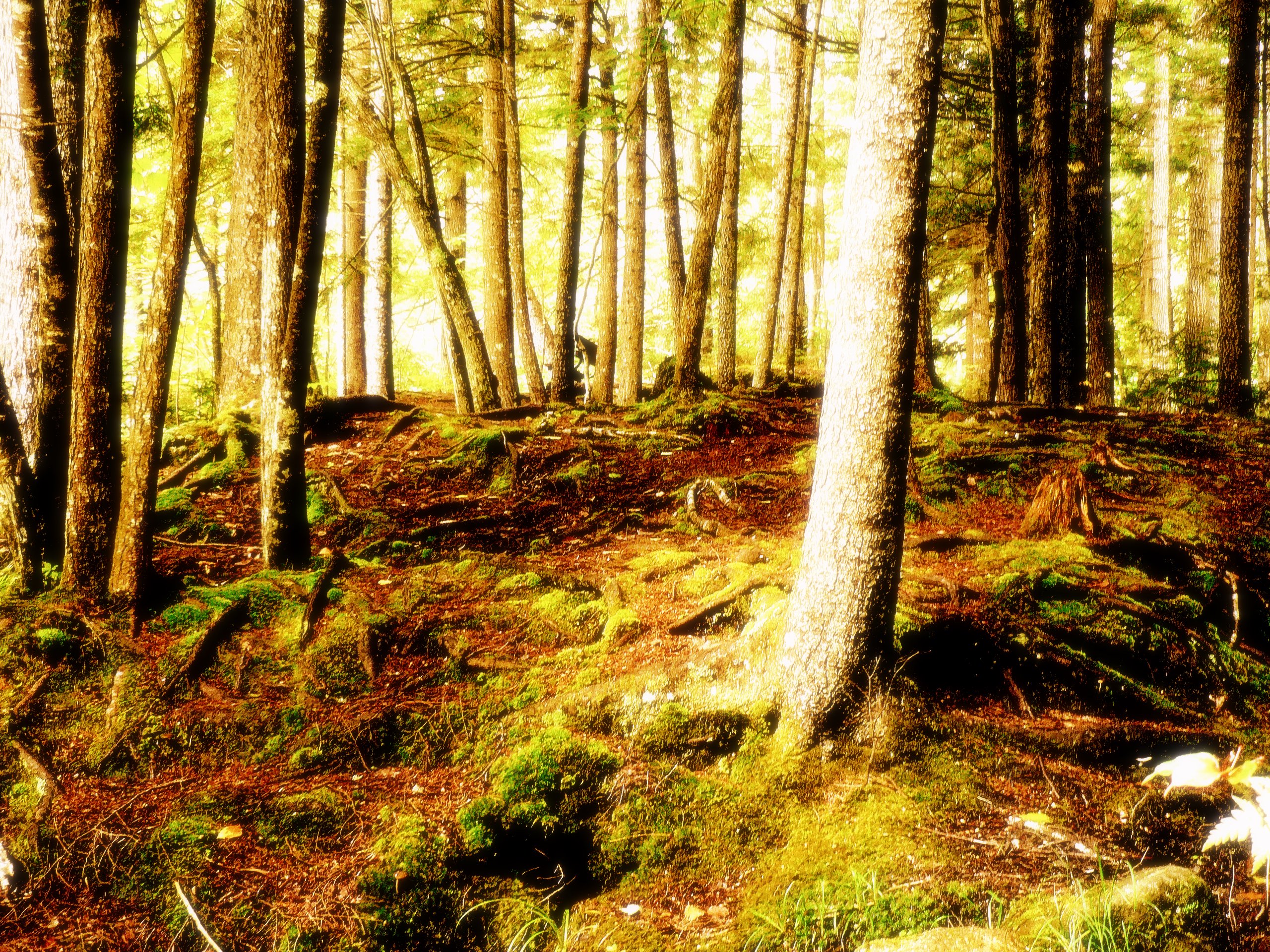
I don't mind getting lost here

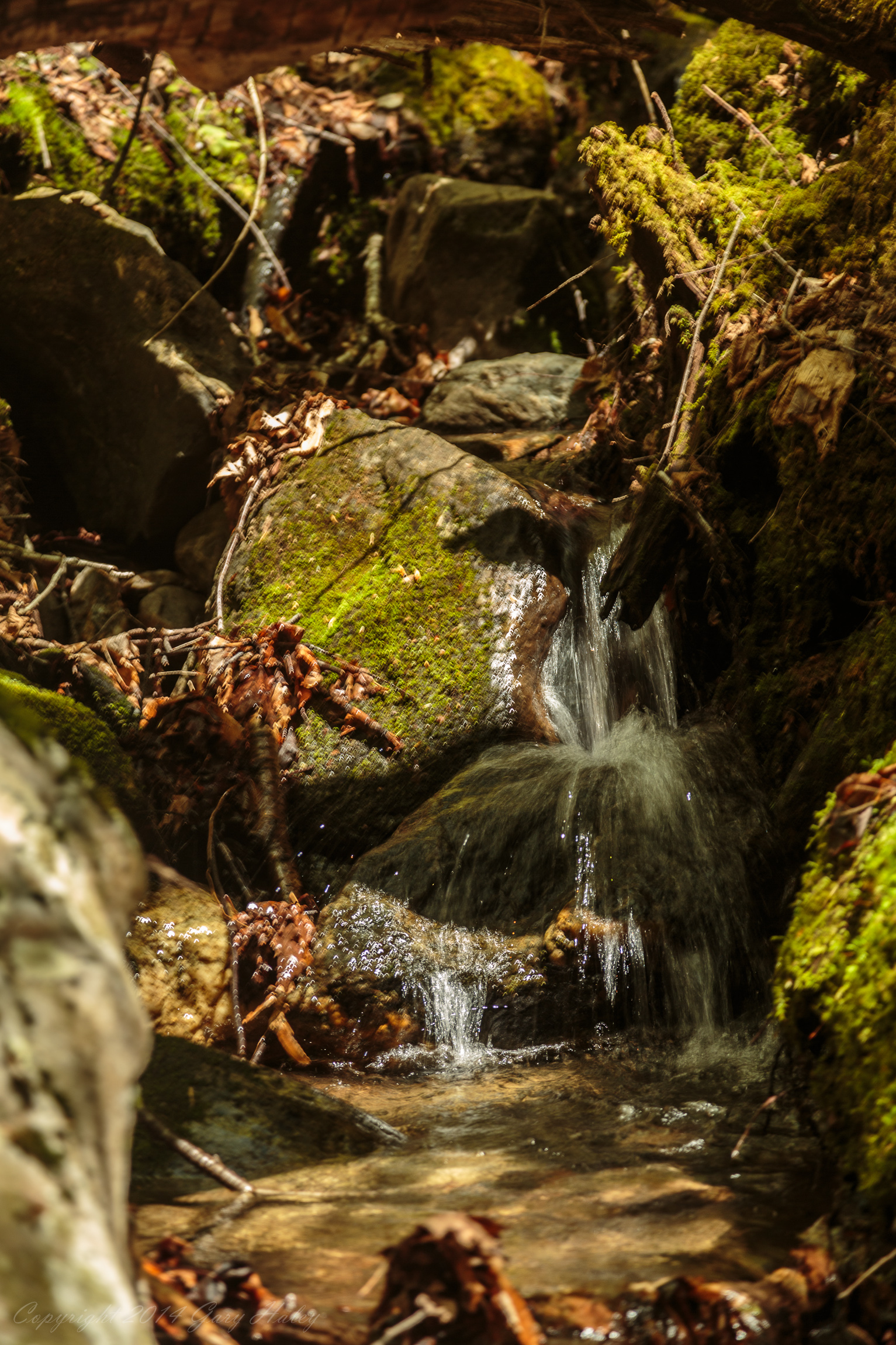
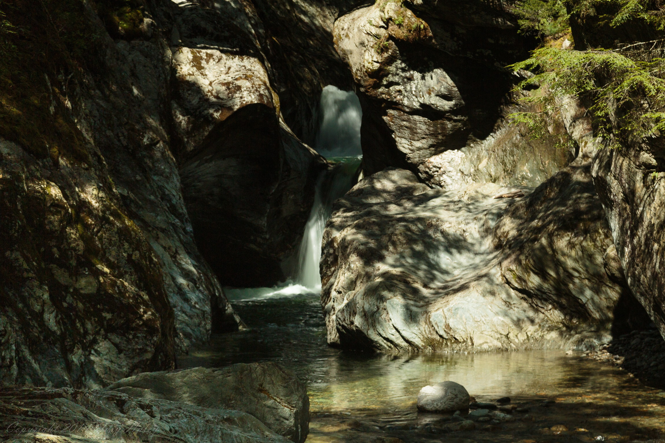
Water Falling over Rocks 2.

Skylight Pond, Green Mountain National Forest, Vermont
keep it wispy
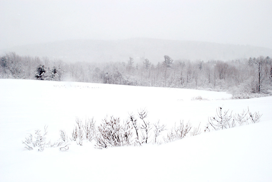
morning in white
VT_Waterfalls-1232
at the edge of light

Bread Loaf Gate
fire under the clouds
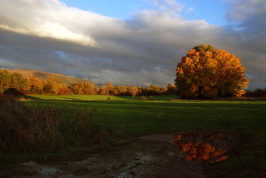
Green Grass of Home
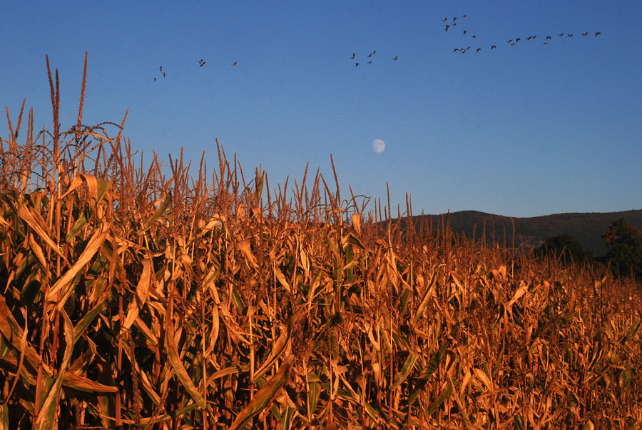
as the geese fly over the moon

Falls of Lana

Brandon Gap
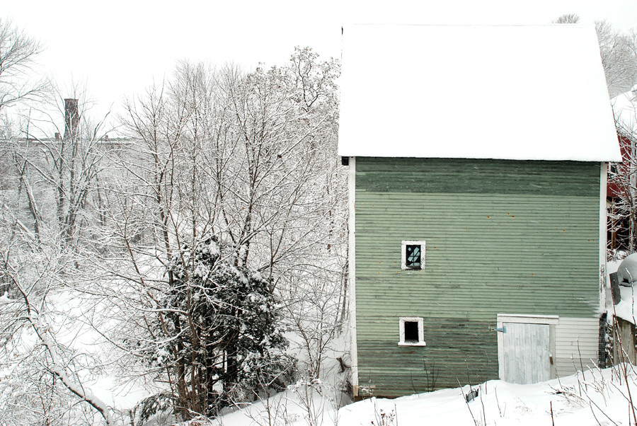
the green barn
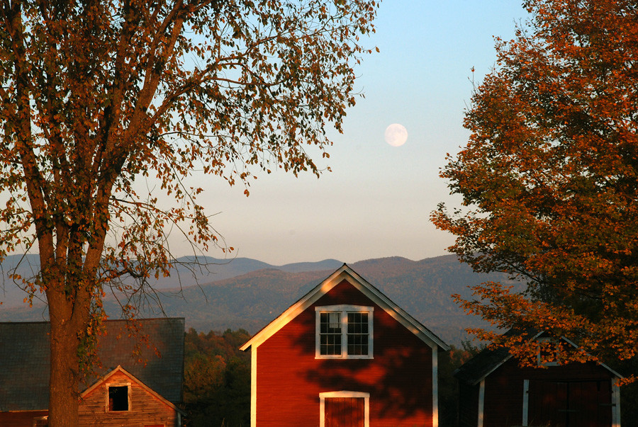
moon rise over the red barns
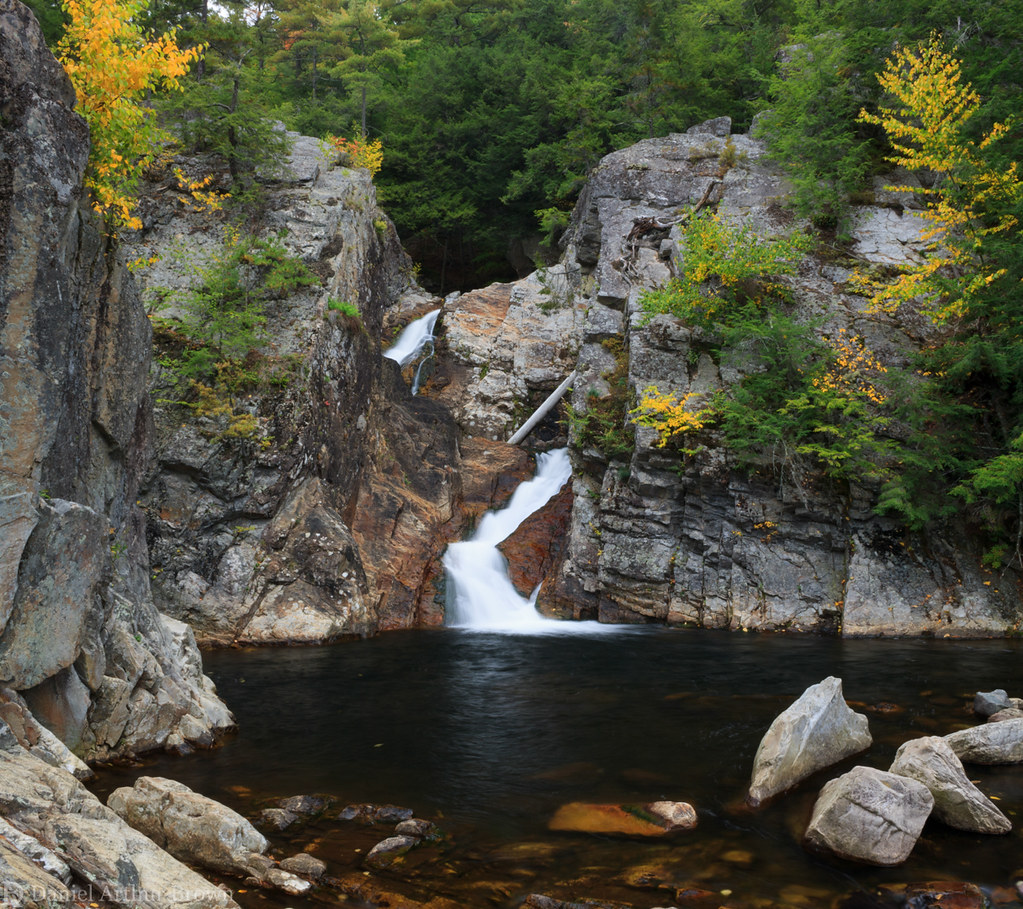
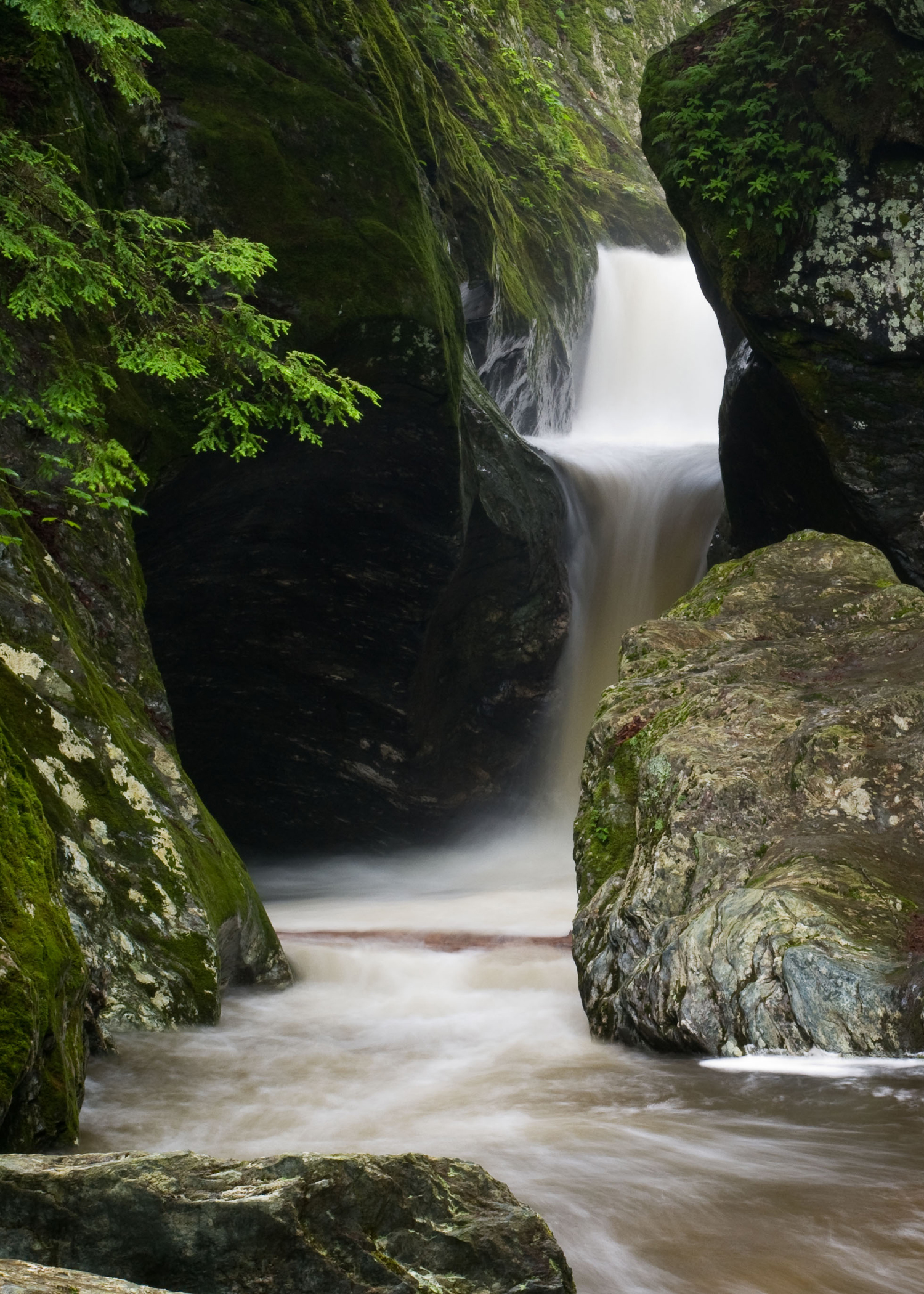
Falls of Lana, Upper Tier, Branbury State Park, Salisbury, Vermont
Texas Falls
VT_Waterfalls-1189
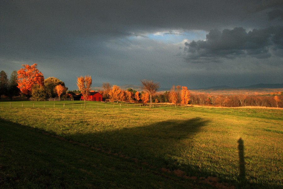
the hills are ablaze
Topographic Map of Upper Plains Rd, Salisbury, VT, USA
Find elevation by address:

Places near Upper Plains Rd, Salisbury, VT, USA:
3707 Us-7
Middlebury Antiques Center
Ripton
Dragon Brook Road
Dragon Brook Road
28 Fire Brook Rd
Bread Loaf
Vermont 125
3087 Natural Turnpike
49 Bristol Cliffs Dr
125 Sherman Ln
1746 York Hill Rd
1704 York Hill Rd
1386 S Lincoln Rd
583 East St
50 Clark Rd
Lincoln
Lincoln Gap
Lincoln Gap Rd, Lincoln, VT, USA
West Hill Road
Recent Searches:
- Elevation of Foligno, Province of Perugia, Italy
- Elevation of Blauwestad, Netherlands
- Elevation of Bella Terra Blvd, Estero, FL, USA
- Elevation of Estates Loop, Priest River, ID, USA
- Elevation of Woodland Oak Pl, Thousand Oaks, CA, USA
- Elevation of Brownsdale Rd, Renfrew, PA, USA
- Elevation of Corcoran Ln, Suffolk, VA, USA
- Elevation of Mamala II, Sariaya, Quezon, Philippines
- Elevation of Sarangdanda, Nepal
- Elevation of 7 Waterfall Way, Tomball, TX, USA