Elevation of Upland Ct, Canyon Lake, TX, USA
Location: United States > Texas > Comal County > Canyon Lake >
Longitude: -98.323011
Latitude: 29.8306459
Elevation: 360m / 1181feet
Barometric Pressure: 97KPa
Elevation Map:
Satellite Map:
Related Photos:

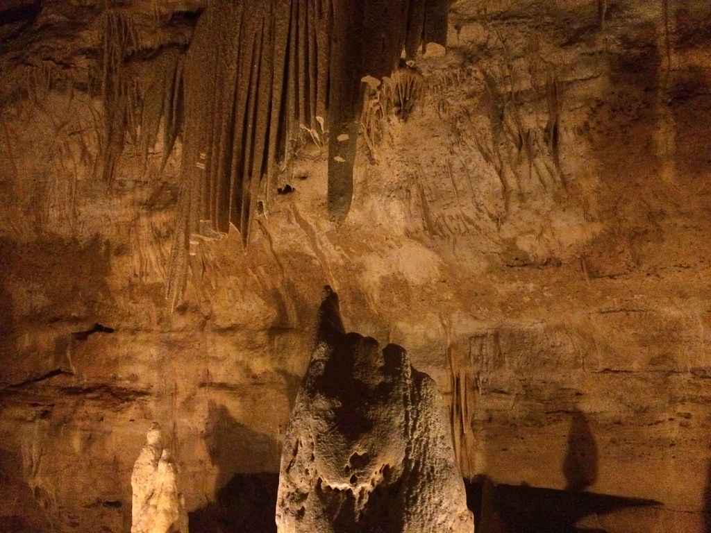
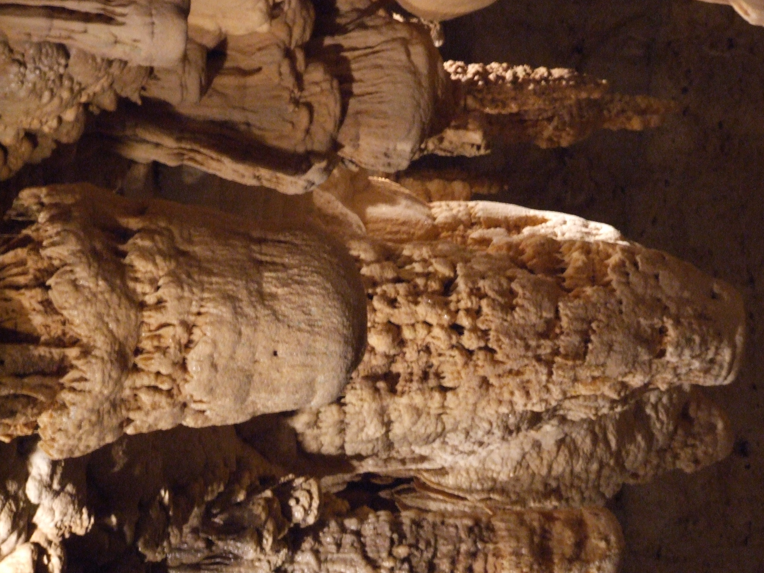
Natural Bridge Cavern, San Antonio, TX

cannon lake 4

Natural Bridge Caverns - I See Faces...
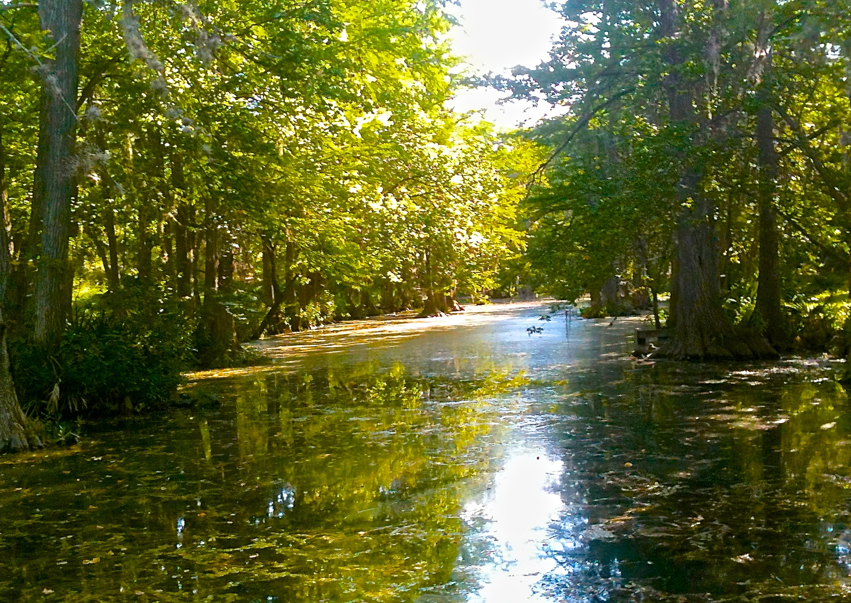
Rebecca Creek

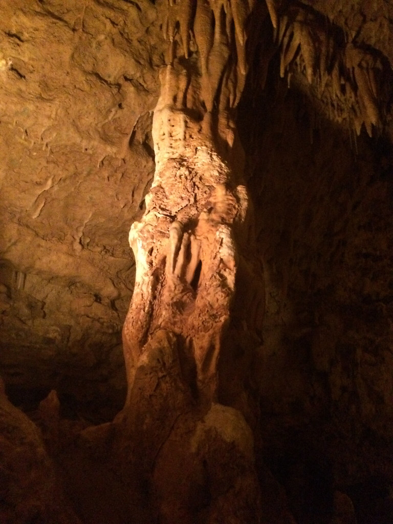
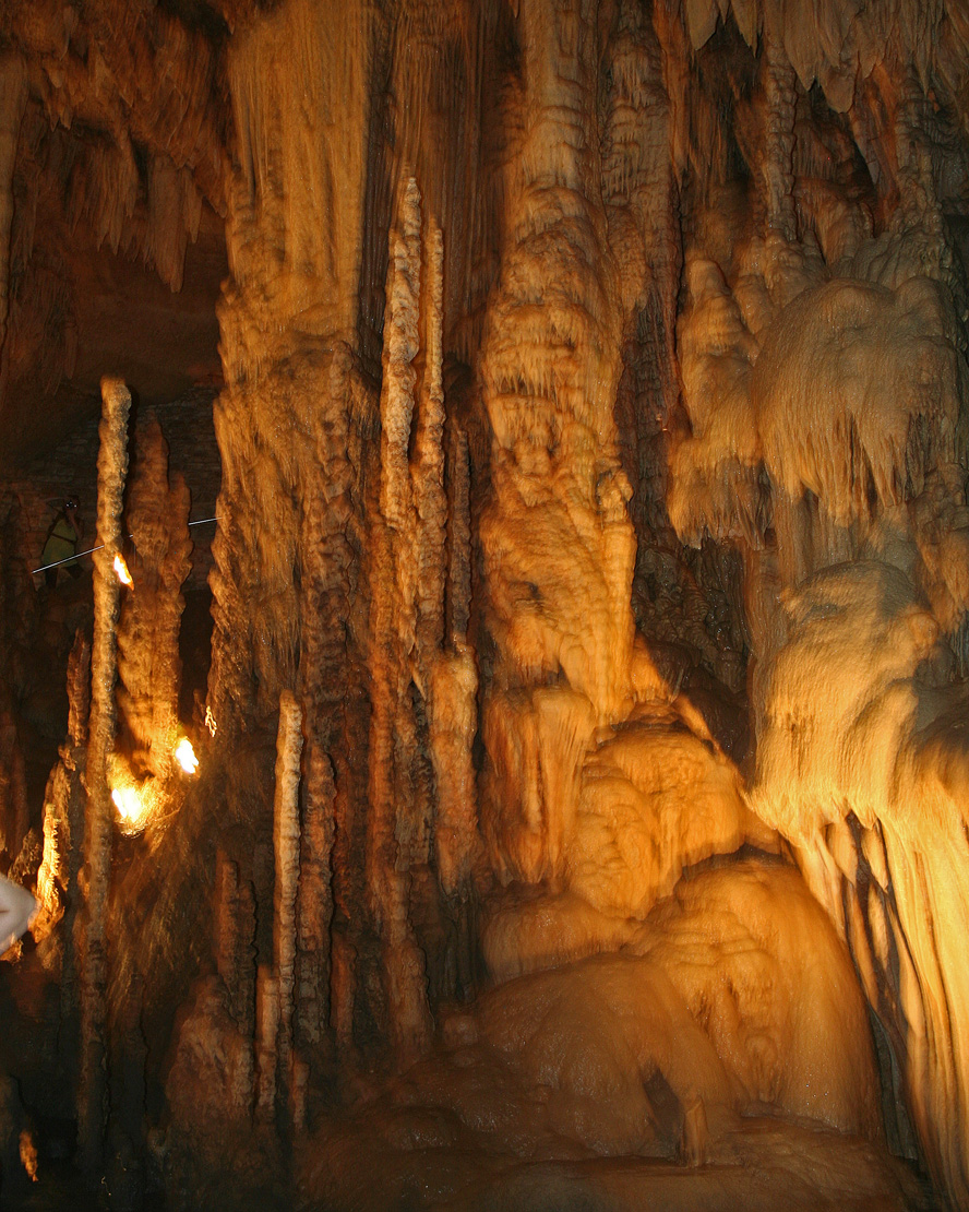
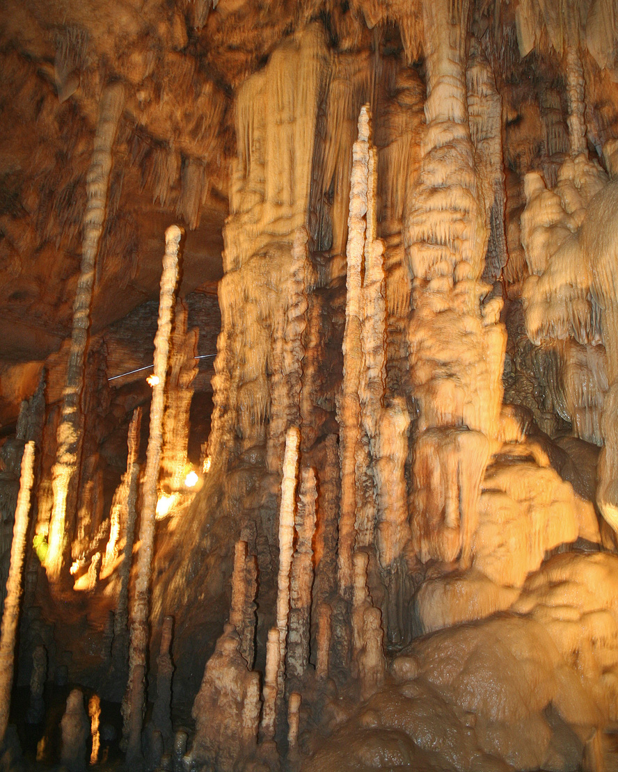
Natural Bridge Caverns - Stalagmites
All Photos-27
All Photos-61
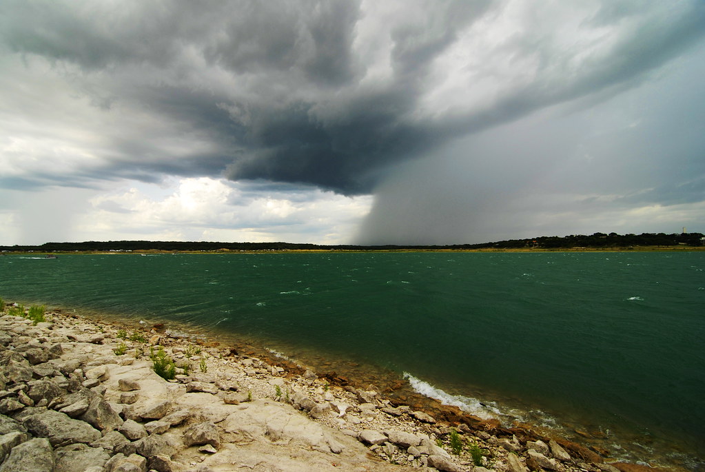
Rainy Waters

Sunrise Doe
DSCF7545.JPG
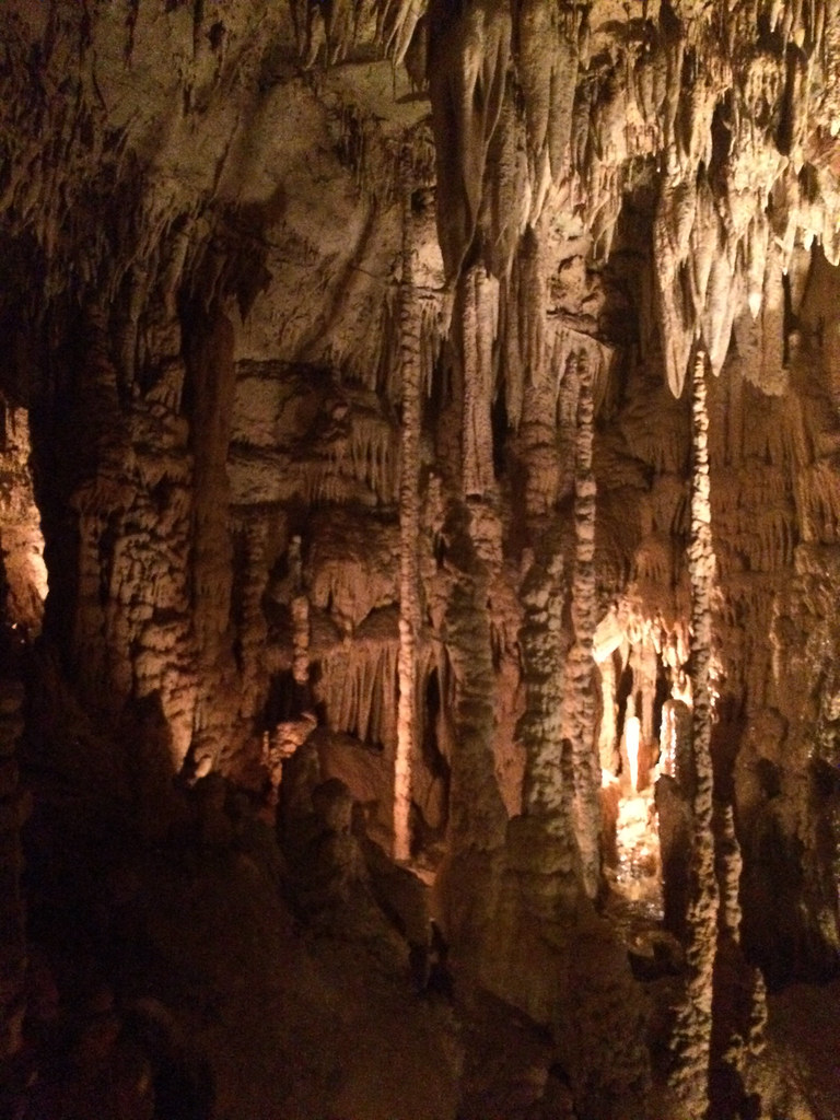
Natural Bridge Caverns
Natural Bridge Caverns

Natural Bridge Cavern, San Antonio, TX
All Photos-70

Canyon Lake Texas: and the lights go out...
Topographic Map of Upland Ct, Canyon Lake, TX, USA
Find elevation by address:

Places near Upland Ct, Canyon Lake, TX, USA:
111 Flat Creek
2163 Stagecoach Way
330 Sheridan Dr
1185 Homestead Ridge
679 Scott Way
679 Scott Way
679 Scott Way
679 Scott Way
1064 Ranger Ridge
1371 Spiraglio
15132 Cranes Mill Rd
206 Arroyo Way
15132 Cranes Mill Rd
Portsmouth Drive
Portsmouth Drive
119 Arroyo Way
Portsmouth Drive & Exeter Avenue
578 Firefly Dr
578 Firefly Dr
578 Firefly Dr
Recent Searches:
- Elevation of Elwyn Dr, Roanoke Rapids, NC, USA
- Elevation of Congressional Dr, Stevensville, MD, USA
- Elevation of Bellview Rd, McLean, VA, USA
- Elevation of Stage Island Rd, Chatham, MA, USA
- Elevation of Shibuya Scramble Crossing, 21 Udagawacho, Shibuya City, Tokyo -, Japan
- Elevation of Jadagoniai, Kaunas District Municipality, Lithuania
- Elevation of Pagonija rock, Kranto 7-oji g. 8"N, Kaunas, Lithuania
- Elevation of Co Rd 87, Jamestown, CO, USA
- Elevation of Tenjo, Cundinamarca, Colombia
- Elevation of Côte-des-Neiges, Montreal, QC H4A 3J6, Canada