Elevation of Unterassling 39, Unterassling, Austria
Location: Austria > Tyrol > East Tyrol > Gemeinde Assling > Unterassling >
Longitude: 12.6419064
Latitude: 46.7875591
Elevation: 1157m / 3796feet
Barometric Pressure: 88KPa
Elevation Map:
Satellite Map:
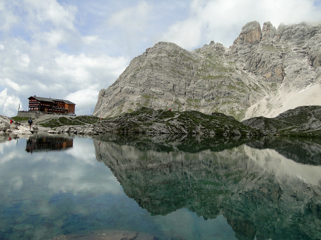
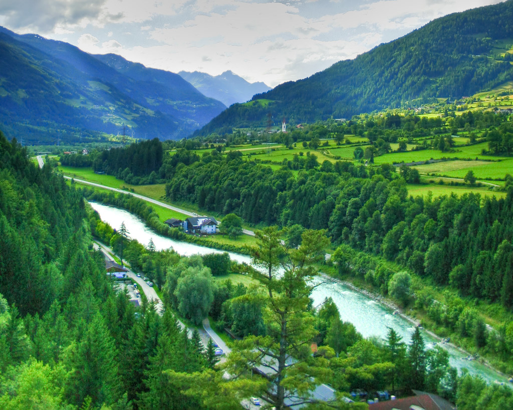
Related Photos:

the autumn is going to end

LIENZ 2009-07 (2)
Scenic view Drauzug mountain

nel verde
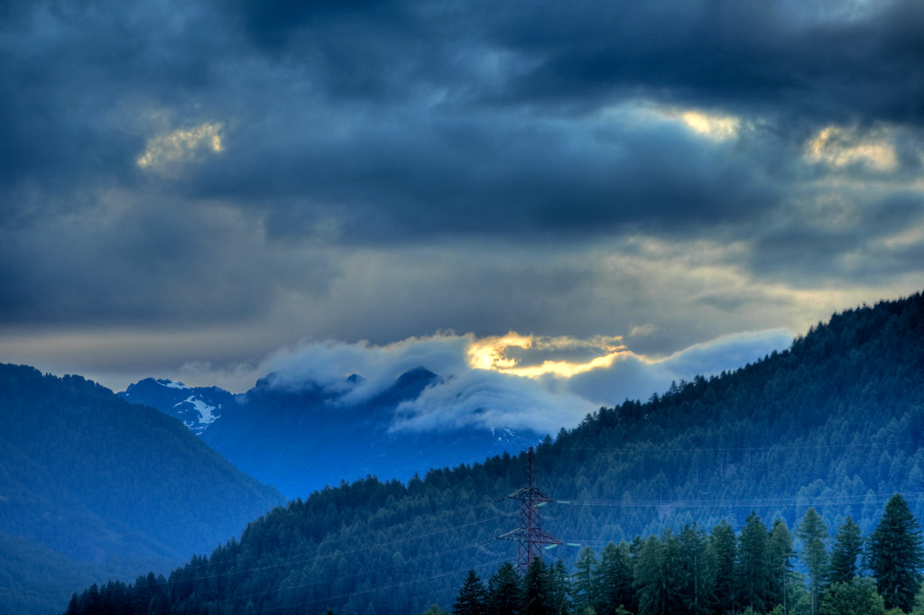
Clouds over Lienz III

LIENZ 2009-07 (11)
View from Schloss Bruck (Bruck Castle) Tower
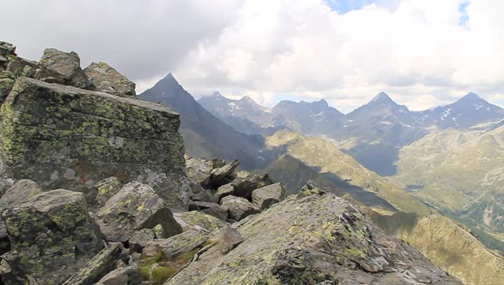
Rundblick vom Sattelkopf

Het Hollbrucker dal (View from the the Hollbruck valley)

Kamer uitkijk (view from the room)
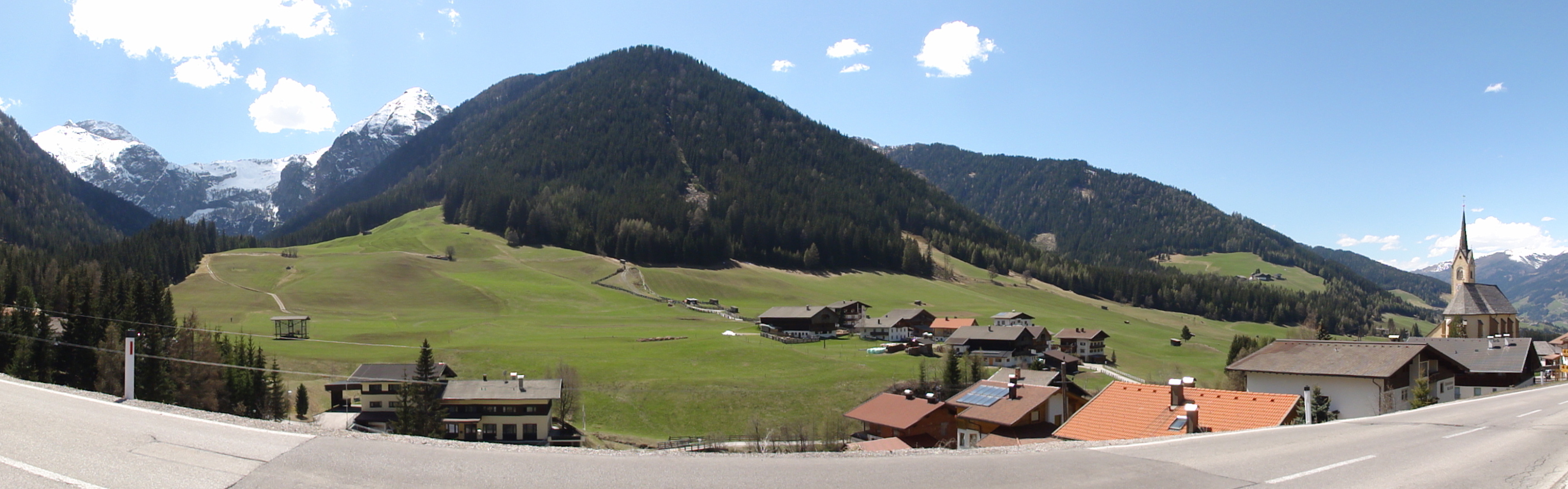
view of Tyrol AT 02
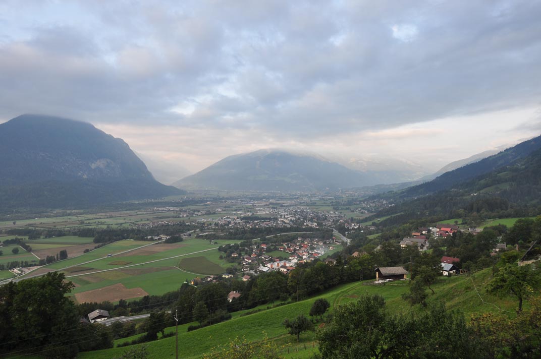
20090925_082324_Obergöriach_room_view
Topographic Map of Unterassling 39, Unterassling, Austria
Find elevation by address:

Places near Unterassling 39, Unterassling, Austria:
Gemeinde Assling
Unterassling
Thal-wilfern
Thal-Wilfern 43, Thal-Wilfern, Austria
.34
Herol
Anras
St. Johann Im Walde 48, St. Johann im Walde, Austria
Abfaltersbach
Sankt Johann Im Walde
Plon, Plon, Austria
Plon
Görtschach 45, Görtschach, Austria
Innervillgraten
Tönig
Kalkstein, Innervillgraten, Austria
.208
Defereggen
Innerrotte
Gemeinde Sankt Jakob In Defereggen
Recent Searches:
- Elevation of Corso Fratelli Cairoli, 35, Macerata MC, Italy
- Elevation of Tallevast Rd, Sarasota, FL, USA
- Elevation of 4th St E, Sonoma, CA, USA
- Elevation of Black Hollow Rd, Pennsdale, PA, USA
- Elevation of Oakland Ave, Williamsport, PA, USA
- Elevation of Pedrógão Grande, Portugal
- Elevation of Klee Dr, Martinsburg, WV, USA
- Elevation of Via Roma, Pieranica CR, Italy
- Elevation of Tavkvetili Mountain, Georgia
- Elevation of Hartfords Bluff Cir, Mt Pleasant, SC, USA