Elevation map of Unnao, Uttar Pradesh, India
Location: India > Uttar Pradesh >
Longitude: 80.543845
Latitude: 26.5761015
Elevation: 128m / 420feet
Barometric Pressure: 100KPa
Elevation Map:
Satellite Map:
Related Photos:
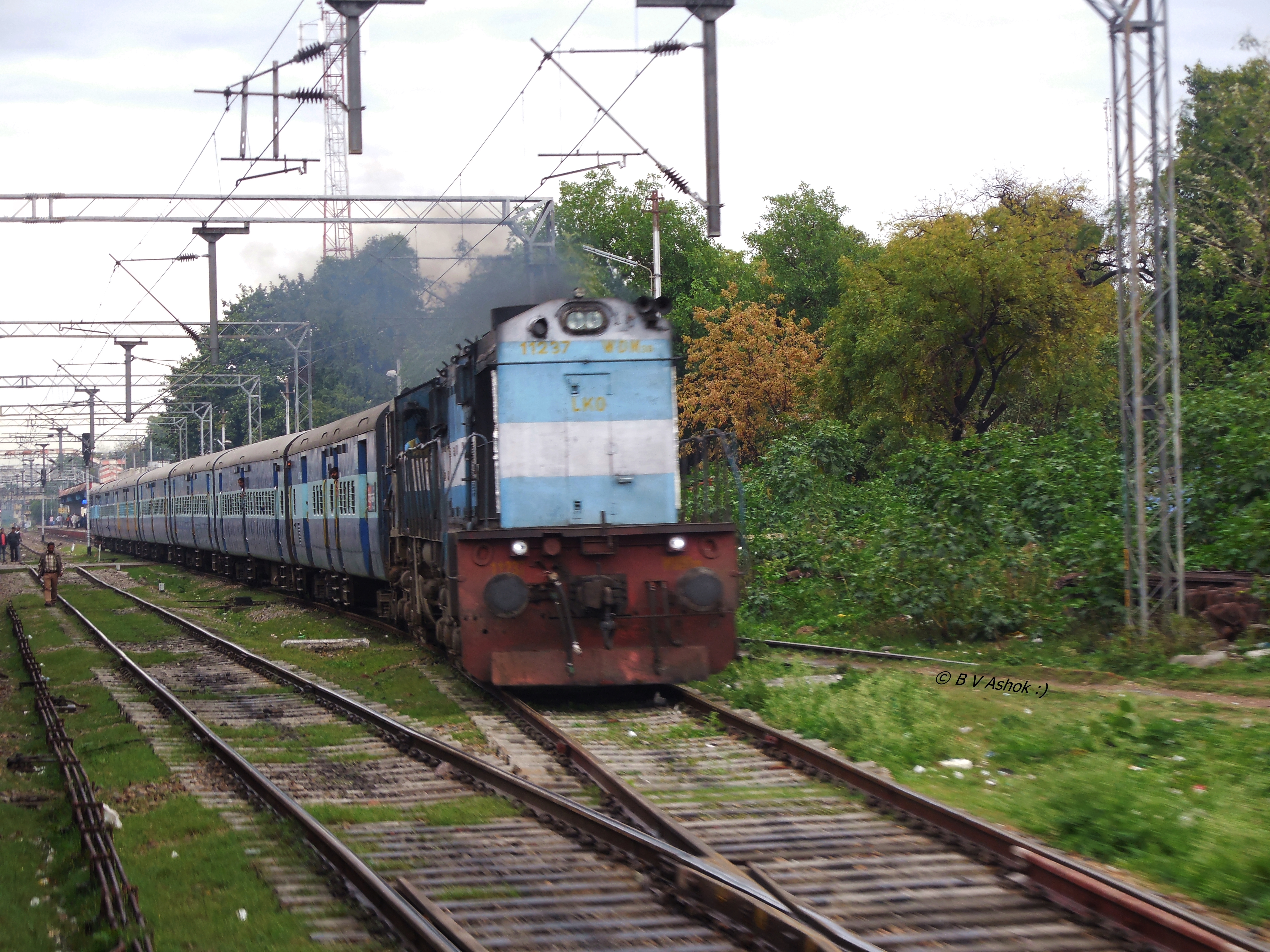
RBL - CNB Pass.
2015-03-09_04-46-18
Drawing room

shehzada e safipur shah syed hasnain baqai aarfi

40 years before mr and my wife

shehzada e safipur hazrat syed hasnain miyan baqai safipur sharif

Night dinner

Nawabganj Bird Sanctuary
Topographic Map of Unnao, Uttar Pradesh, India
Find elevation by address:

Places in Unnao, Uttar Pradesh, India:
Places near Unnao, Uttar Pradesh, India:
Unnao
Netua Grameen
Ganga Ghat
Shuklaganj New Bridge
Katarijiyora Nawab Ganj
Ganga Barrage
Kanpur
Miyaganj
Kanpur Nagar
Ghatampur
Fatehpur
Raebareli
Rae Bareli
Fatehpur
Bharwari
Kaushambi
Recent Searches:
- Elevation of Spaceport America, Co Rd A, Truth or Consequences, NM, USA
- Elevation of Warwick, RI, USA
- Elevation of Fern Rd, Whitmore, CA, USA
- Elevation of 62 Abbey St, Marshfield, MA, USA
- Elevation of Fernwood, Bradenton, FL, USA
- Elevation of Felindre, Swansea SA5 7LU, UK
- Elevation of Leyte Industrial Development Estate, Isabel, Leyte, Philippines
- Elevation of W Granada St, Tampa, FL, USA
- Elevation of Pykes Down, Ivybridge PL21 0BY, UK
- Elevation of Jalan Senandin, Lutong, Miri, Sarawak, Malaysia