Elevation of Unnan, Shimane Prefecture, Japan
Location: Japan > Shimane Prefecture >
Longitude: 132.900299
Latitude: 35.3077257
Elevation: 39m / 128feet
Barometric Pressure: 101KPa
Elevation Map:
Satellite Map:
Related Photos:
IMG_2482-EFFECTS
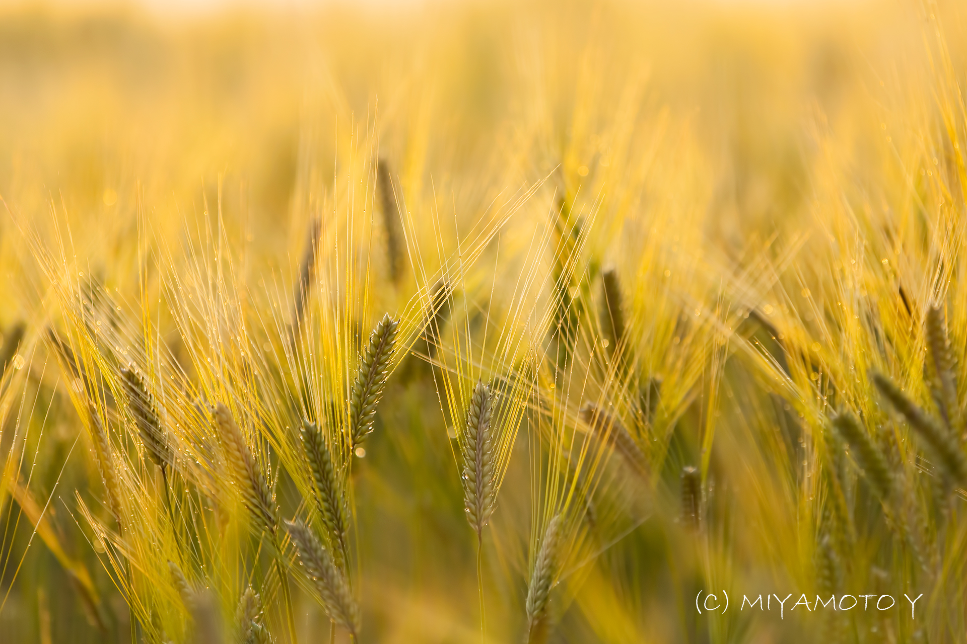
Barley with morning dew
Izumo City

赤川河川敷

赤川河川敷
Thick clouds rising. (The harvest season No.3.)
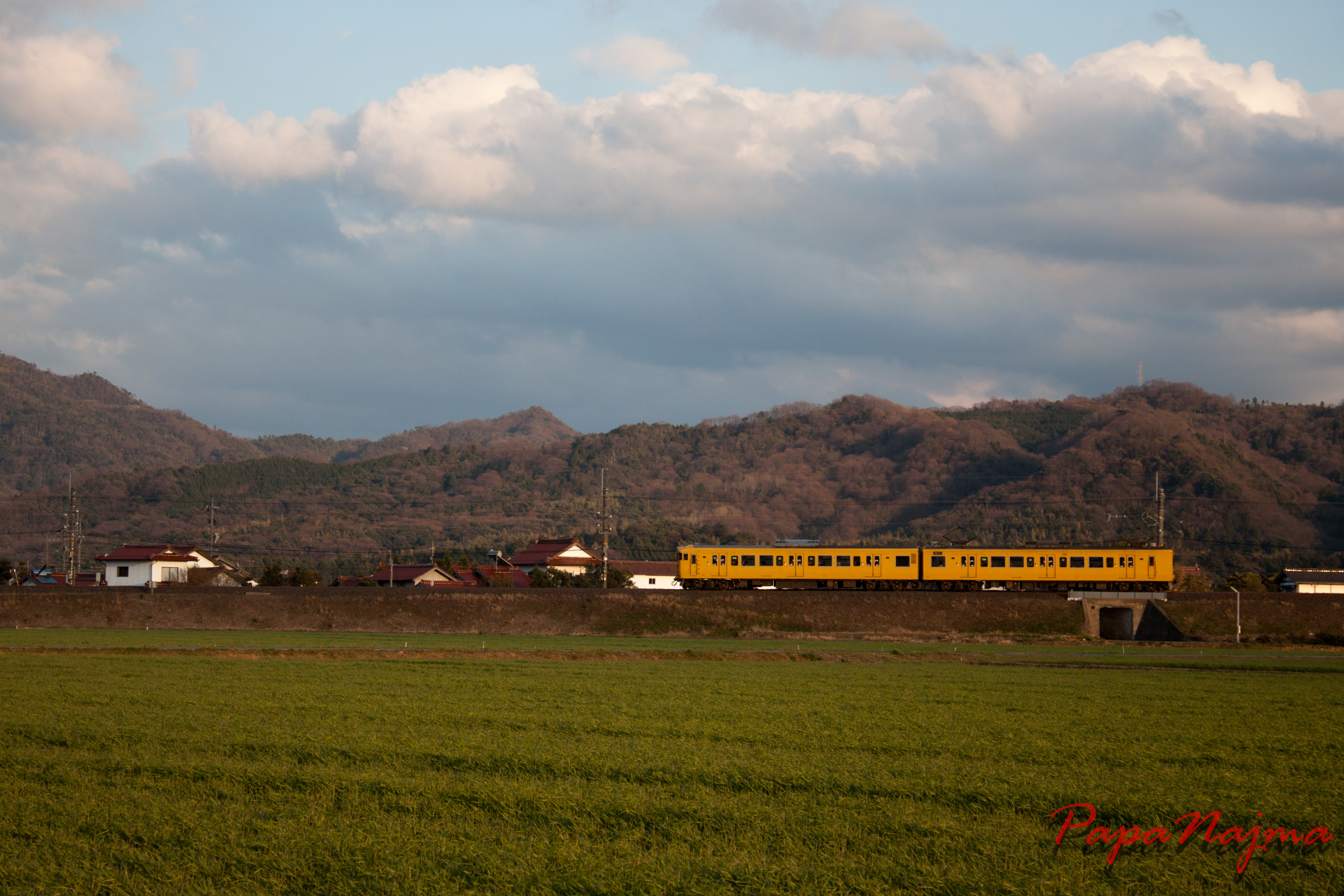
夕景山から平田へ
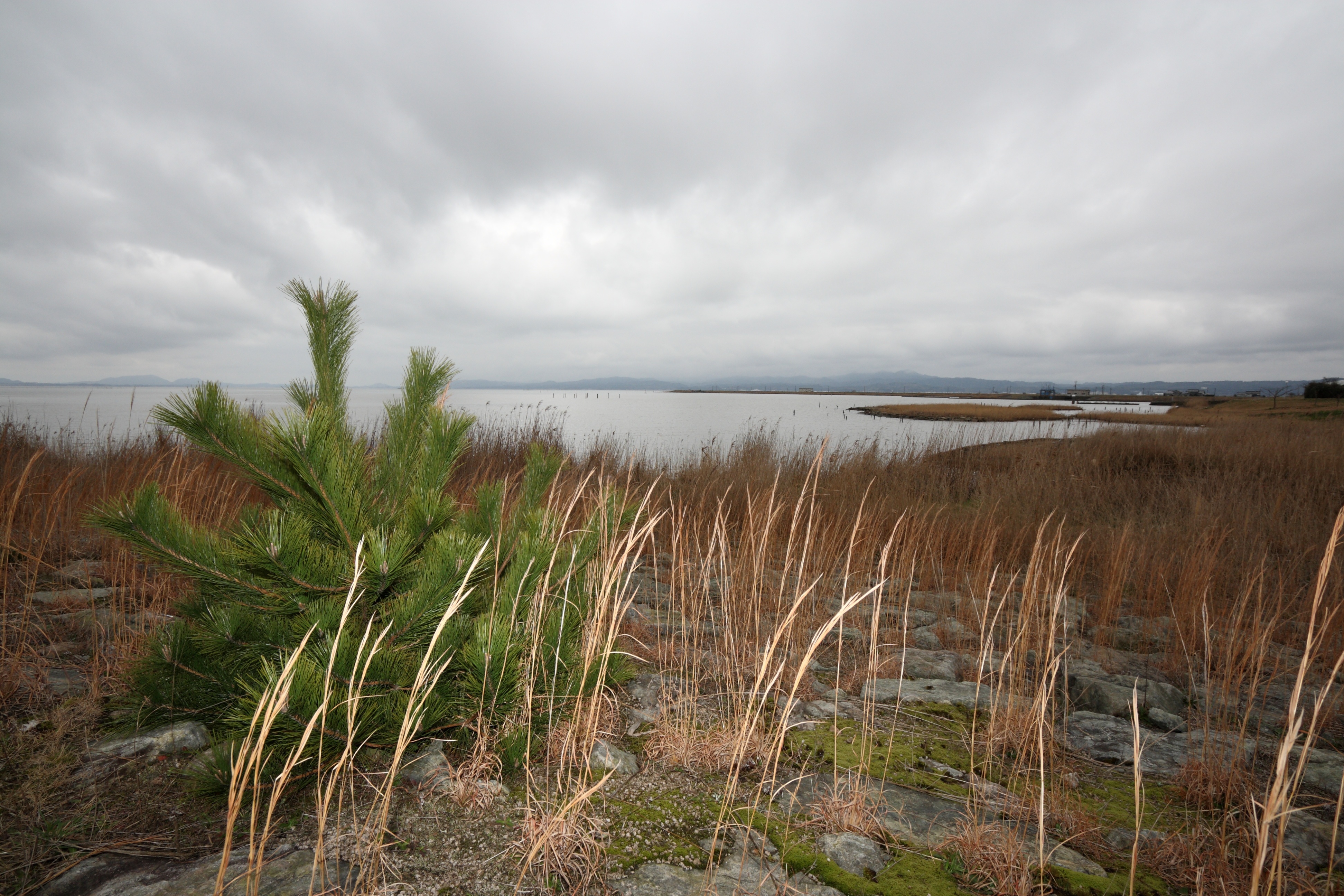
Pine Tree in front of Lake Shinji

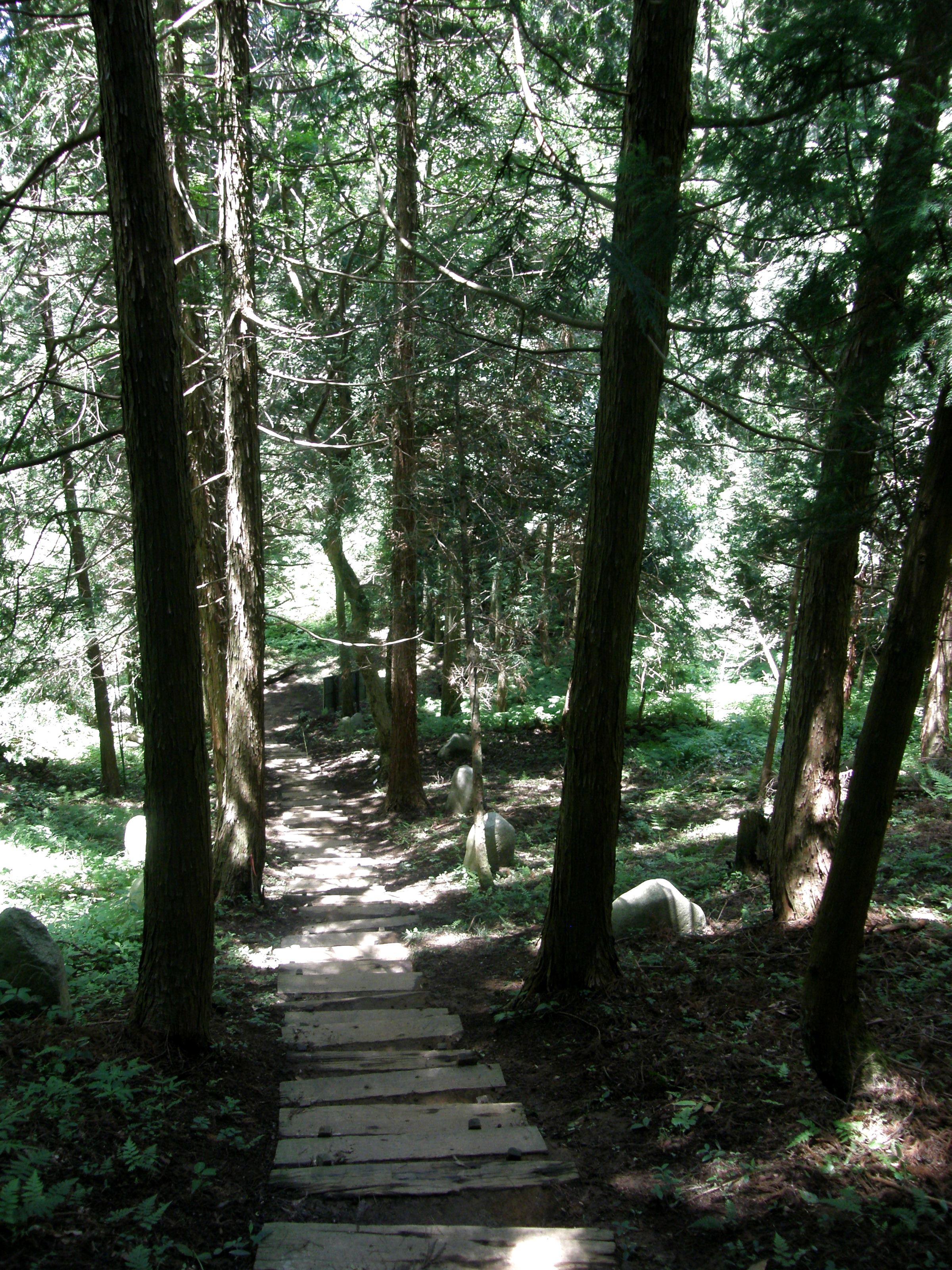
山内生活伝承館
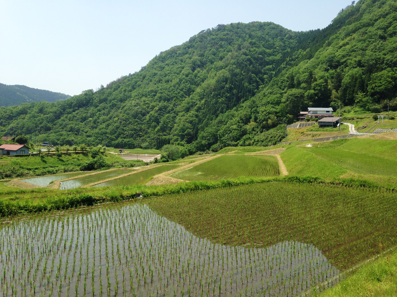
さくらおろち湖農地

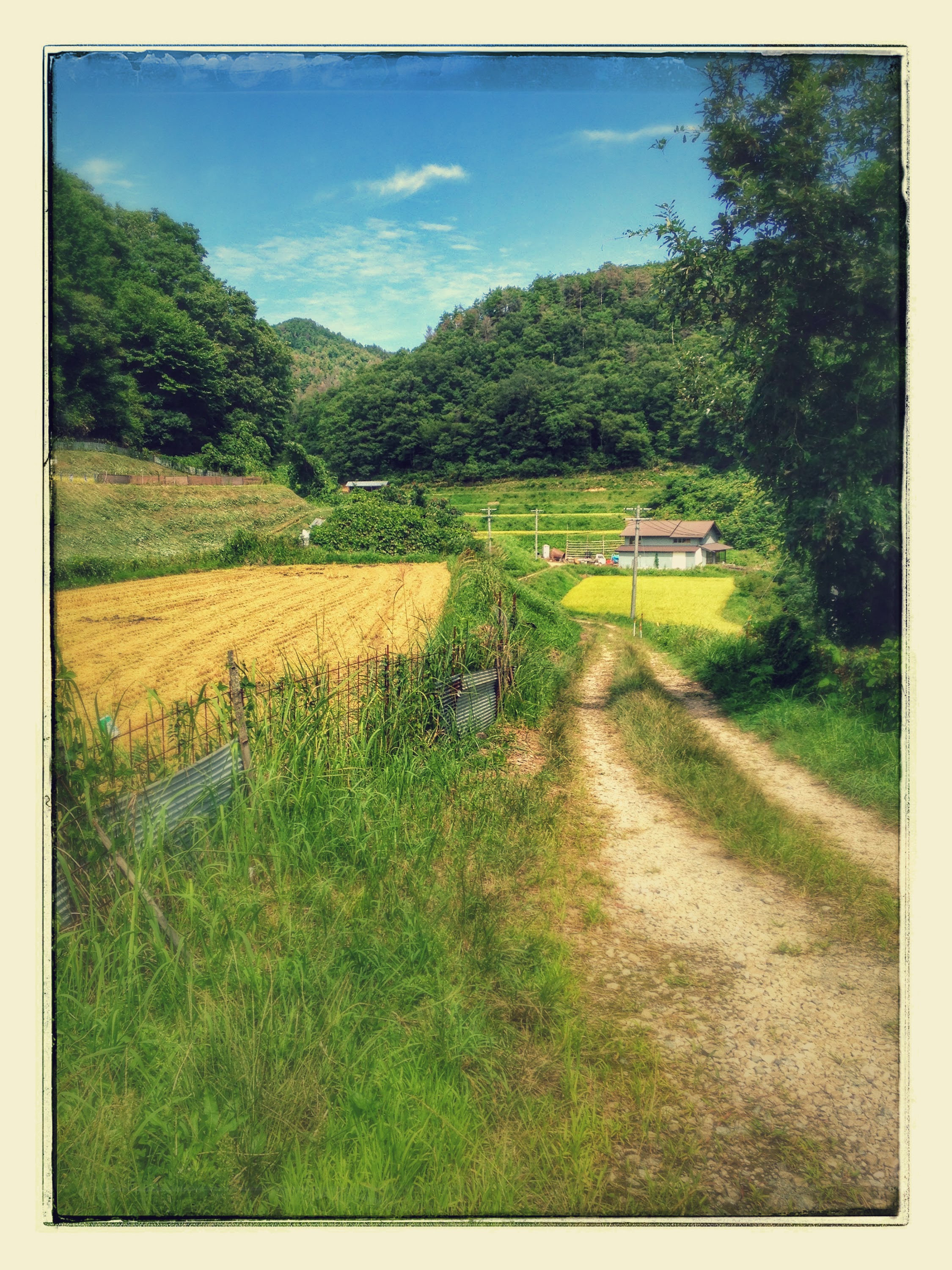
赤川河川敷
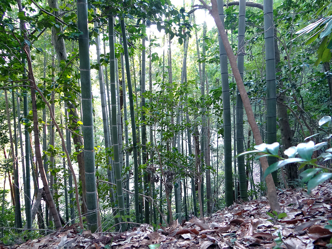
みざわの館の竹林04
Izumo-shi
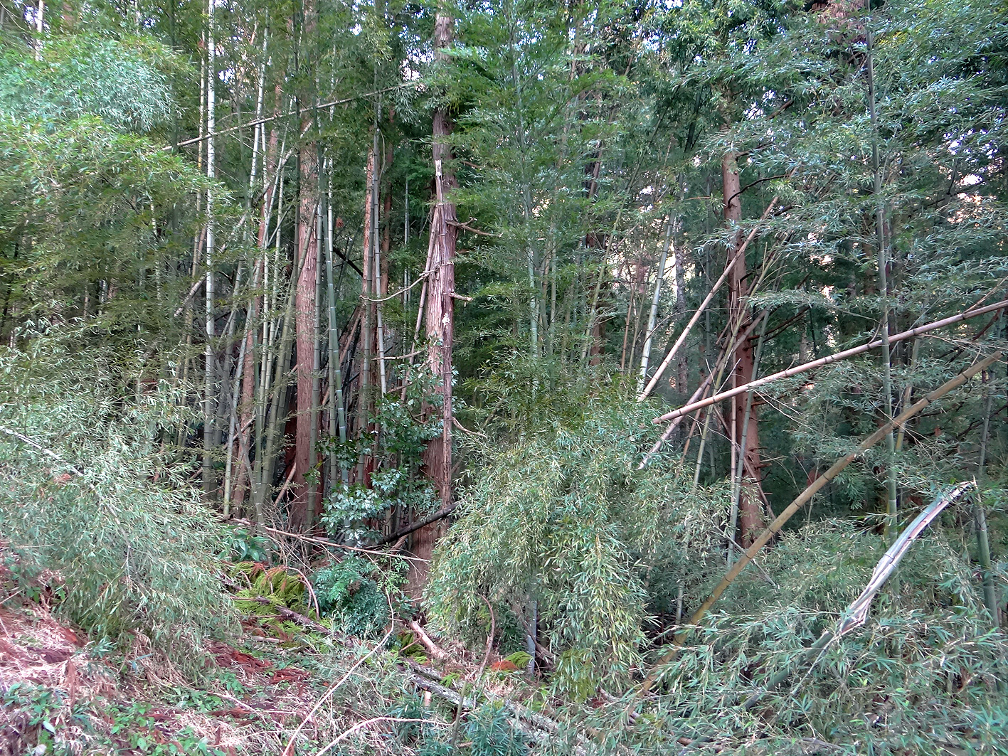
みざわの館竹林01
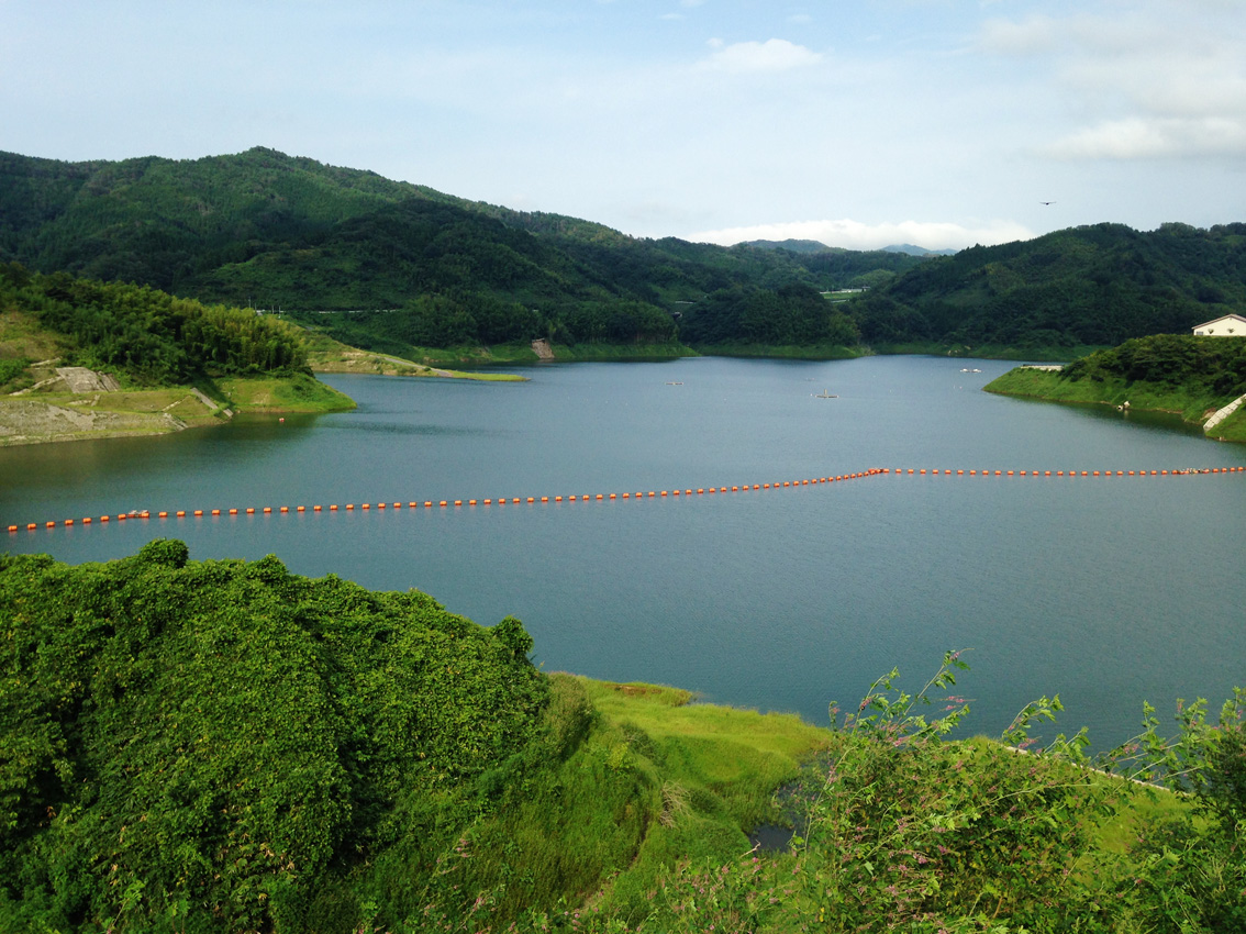
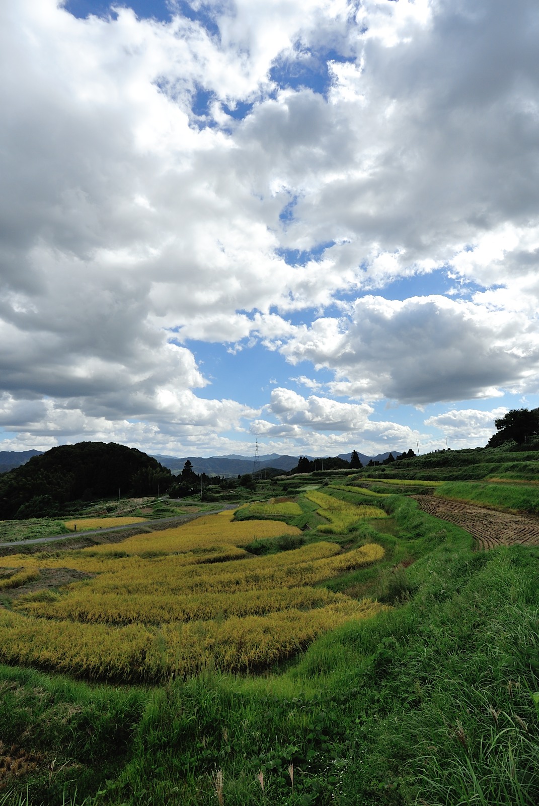
20140902さくらおろち湖
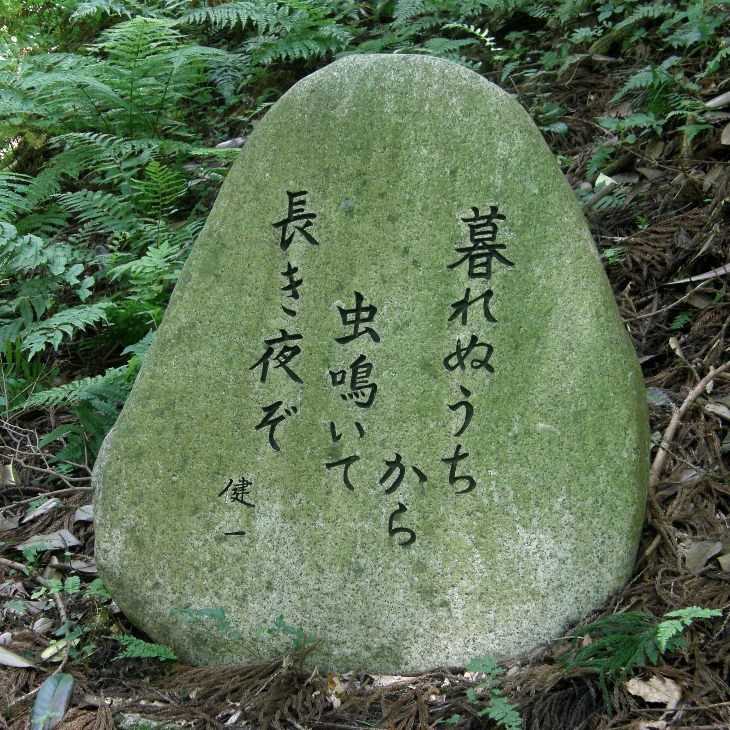
#1170 haiku (17-syllable) poem
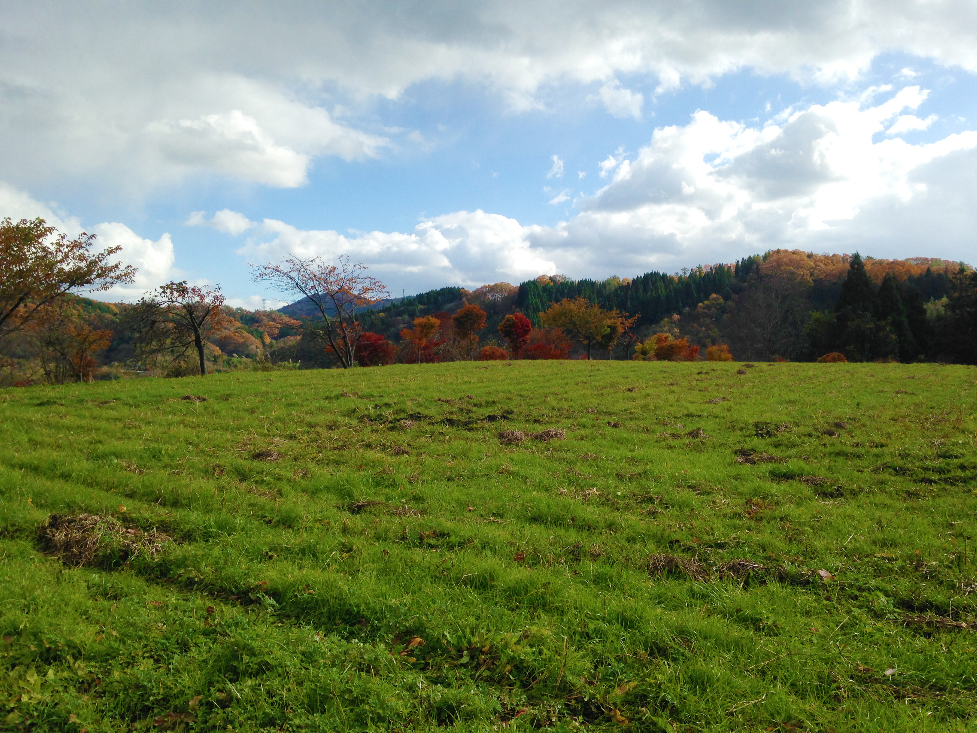
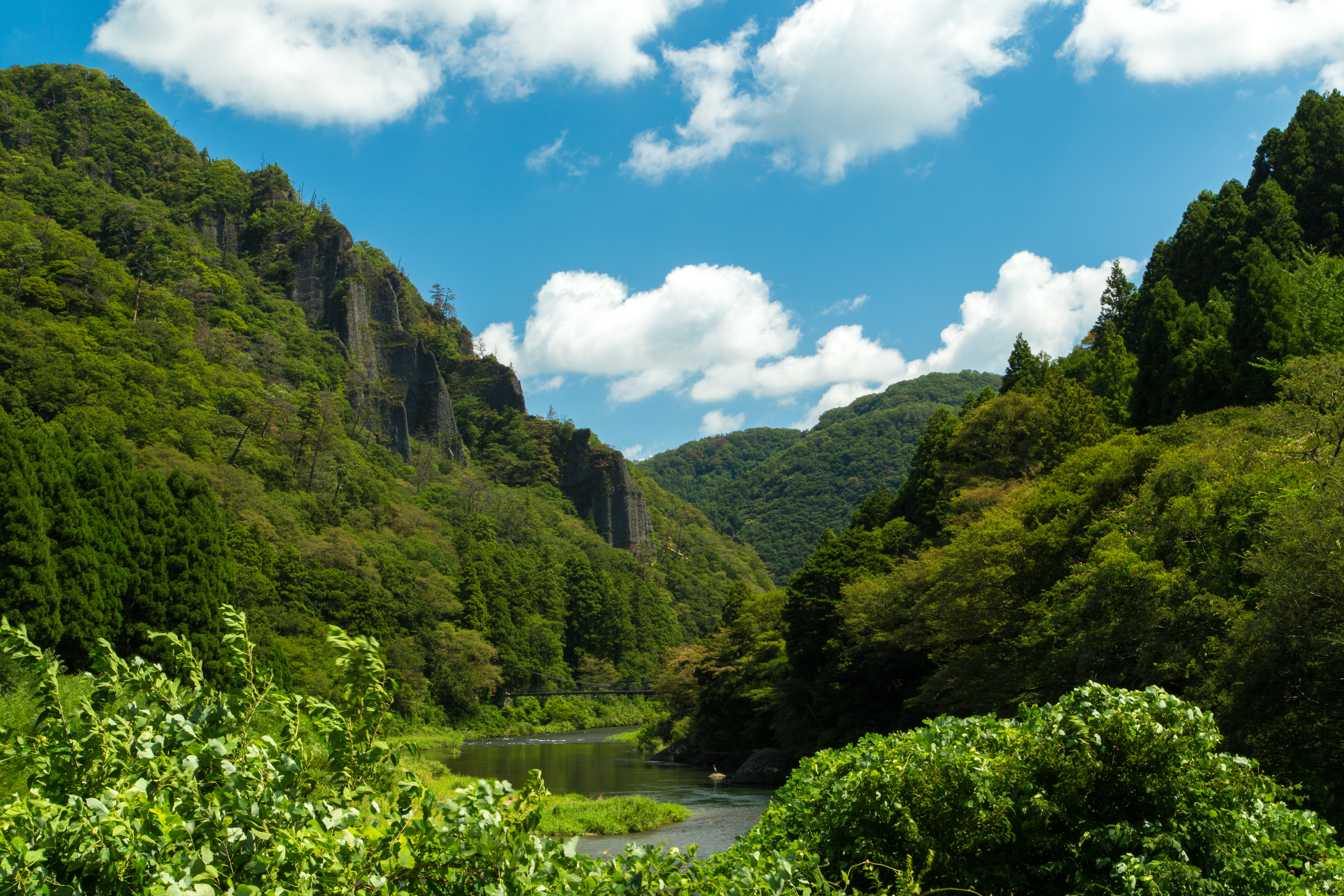
2014春の山方

菅谷たたら

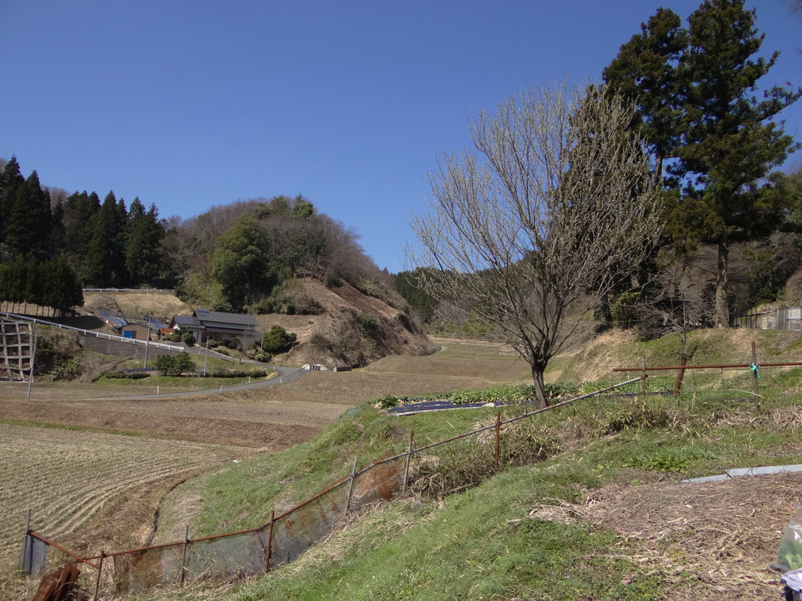
赤川河川敷
#1168 final slope, from above

赤川河川敷
Topographic Map of Unnan, Shimane Prefecture, Japan
Find elevation by address:

Places in Unnan, Shimane Prefecture, Japan:
-2 Kisukichō Kisuki, Unnan-shi, Shimane-ken -, Japan
Kisukichō Hirata, Unnan-shi, Shimane-ken -, Japan
Kakeyachō Kakeya, Unnan-shi, Shimane-ken -, Japan
Places near Unnan, Shimane Prefecture, Japan:
-2 Kisukichō Kisuki, Unnan-shi, Shimane-ken -, Japan
Kisukichō Hirata, Unnan-shi, Shimane-ken -, Japan
Kakeyachō Kakeya, Unnan-shi, Shimane-ken -, Japan
7 Chome-39 Ōtsushinzakichō, Izumo-shi, Shimane-ken -, Japan
-1 Minari, Okuizumo-chō, Nita-gun, Shimane-ken -, Japan
Okuizumo
Izumoshi Station
Ekikitamachi
Izumo
Okamotochō, Matsue-shi, Shimane-ken -, Japan
Otsutachichō, Izumo-shi, Shimane-ken -, Japan
Nita District
Yokota
Matsue
Shimane Prefecture
Tonomachi
Matsue Castle
-48 Higashiizumochō Adakae, Matsue-shi, Shimane-ken -, Japan
878-2 Yasugichō
Yasugi
Recent Searches:
- Elevation of Tenjo, Cundinamarca, Colombia
- Elevation of Côte-des-Neiges, Montreal, QC H4A 3J6, Canada
- Elevation of Bobcat Dr, Helena, MT, USA
- Elevation of Zu den Ihlowbergen, Althüttendorf, Germany
- Elevation of Badaber, Peshawar, Khyber Pakhtunkhwa, Pakistan
- Elevation of SE Heron Loop, Lincoln City, OR, USA
- Elevation of Slanický ostrov, 01 Námestovo, Slovakia
- Elevation of Spaceport America, Co Rd A, Truth or Consequences, NM, USA
- Elevation of Warwick, RI, USA
- Elevation of Fern Rd, Whitmore, CA, USA