Elevation of Unnamed Road, Muyira, Rwanda
Location: Rwanda > Southern Province > Nyanza >
Longitude: 29.8564367
Latitude: -2.33319
Elevation: 1582m / 5190feet
Barometric Pressure: 84KPa
Elevation Map:
Satellite Map:
Related Photos:
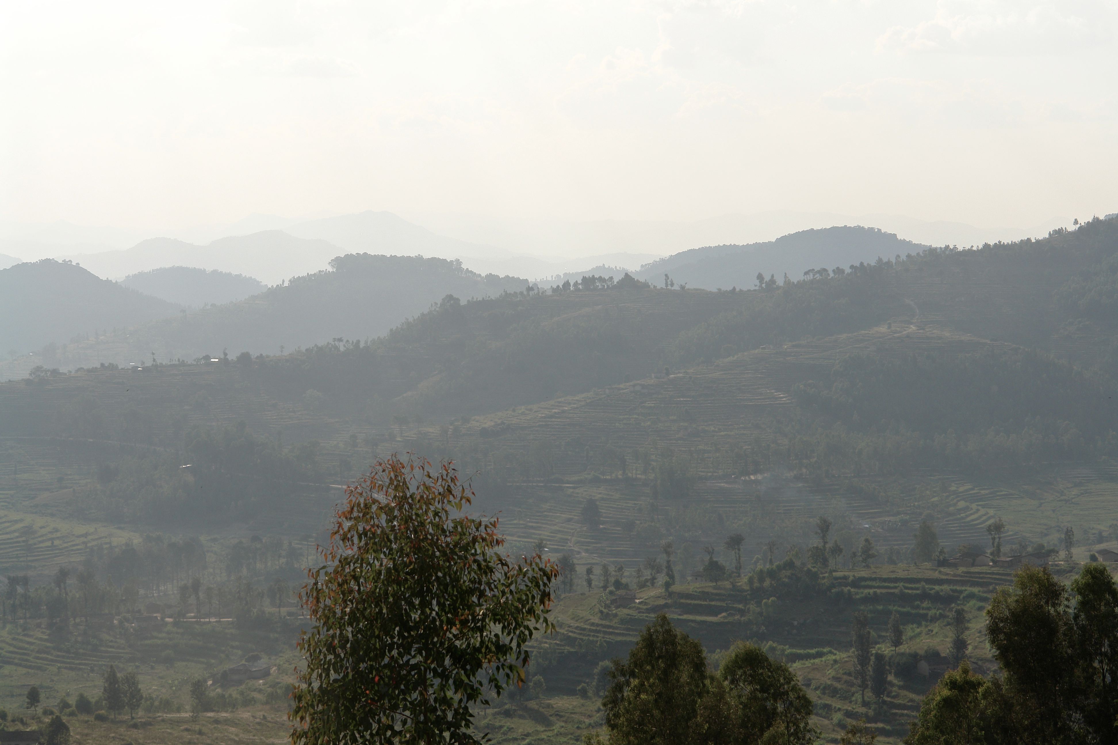
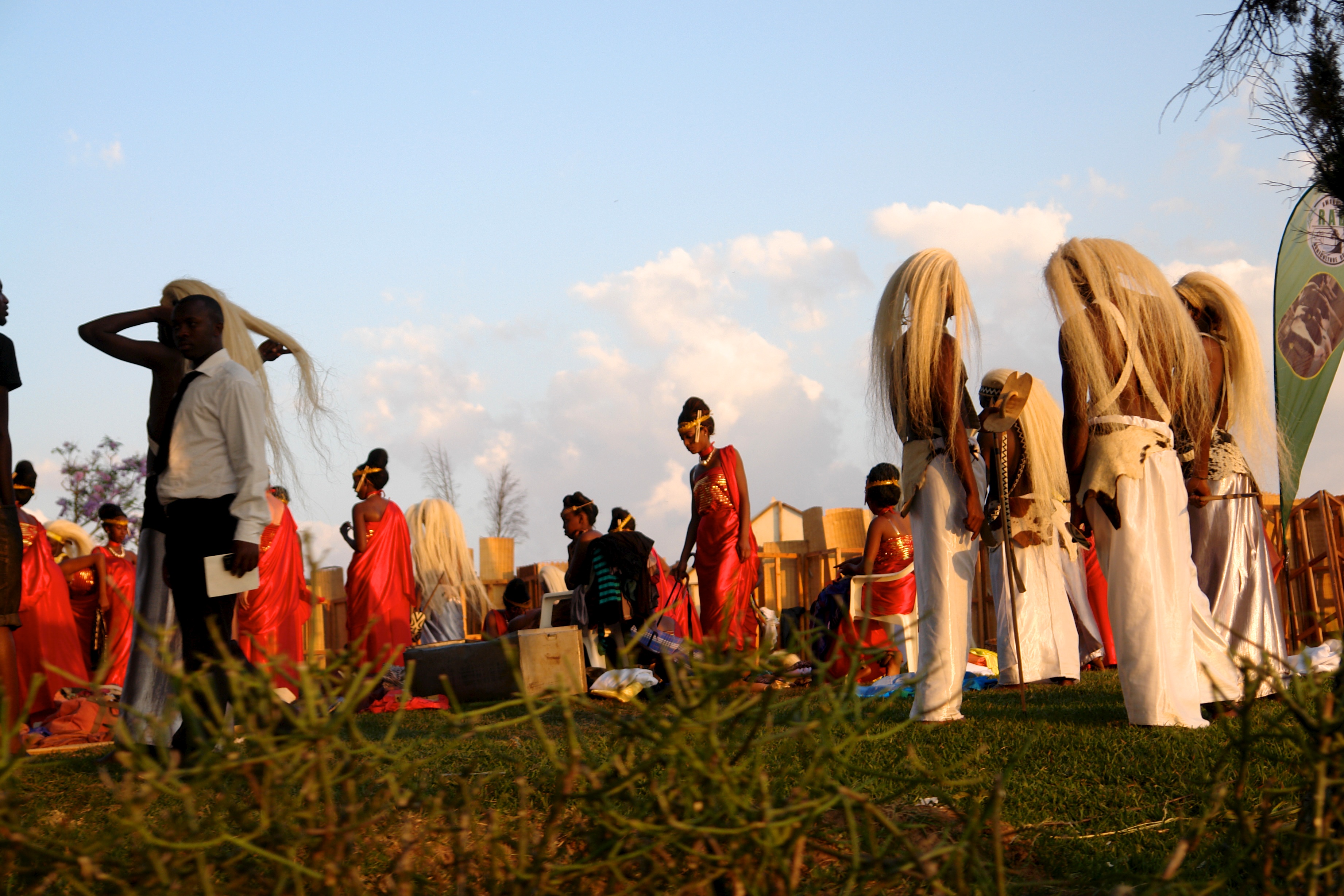
Nyanza Hills
Nyanza Sun

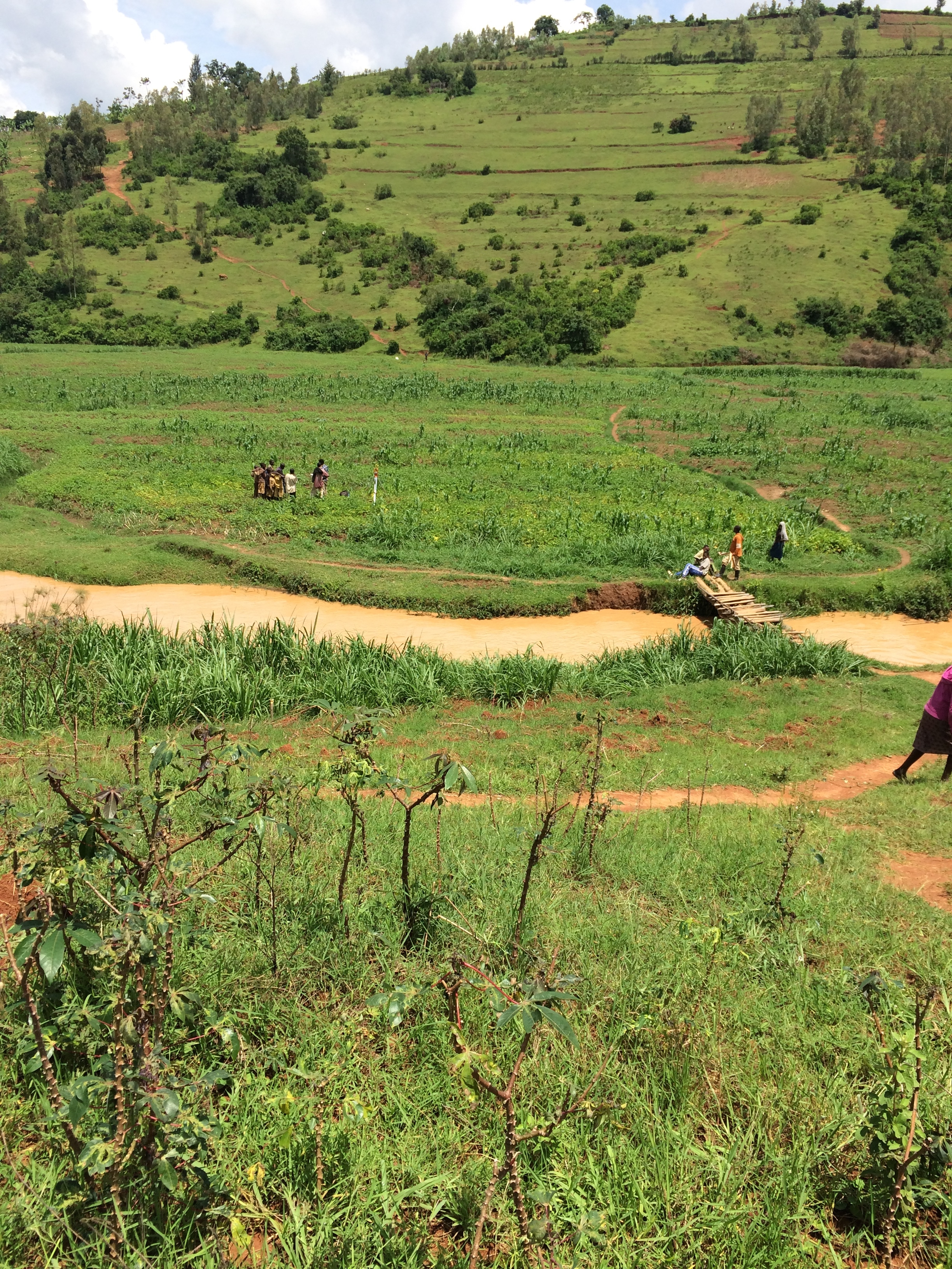
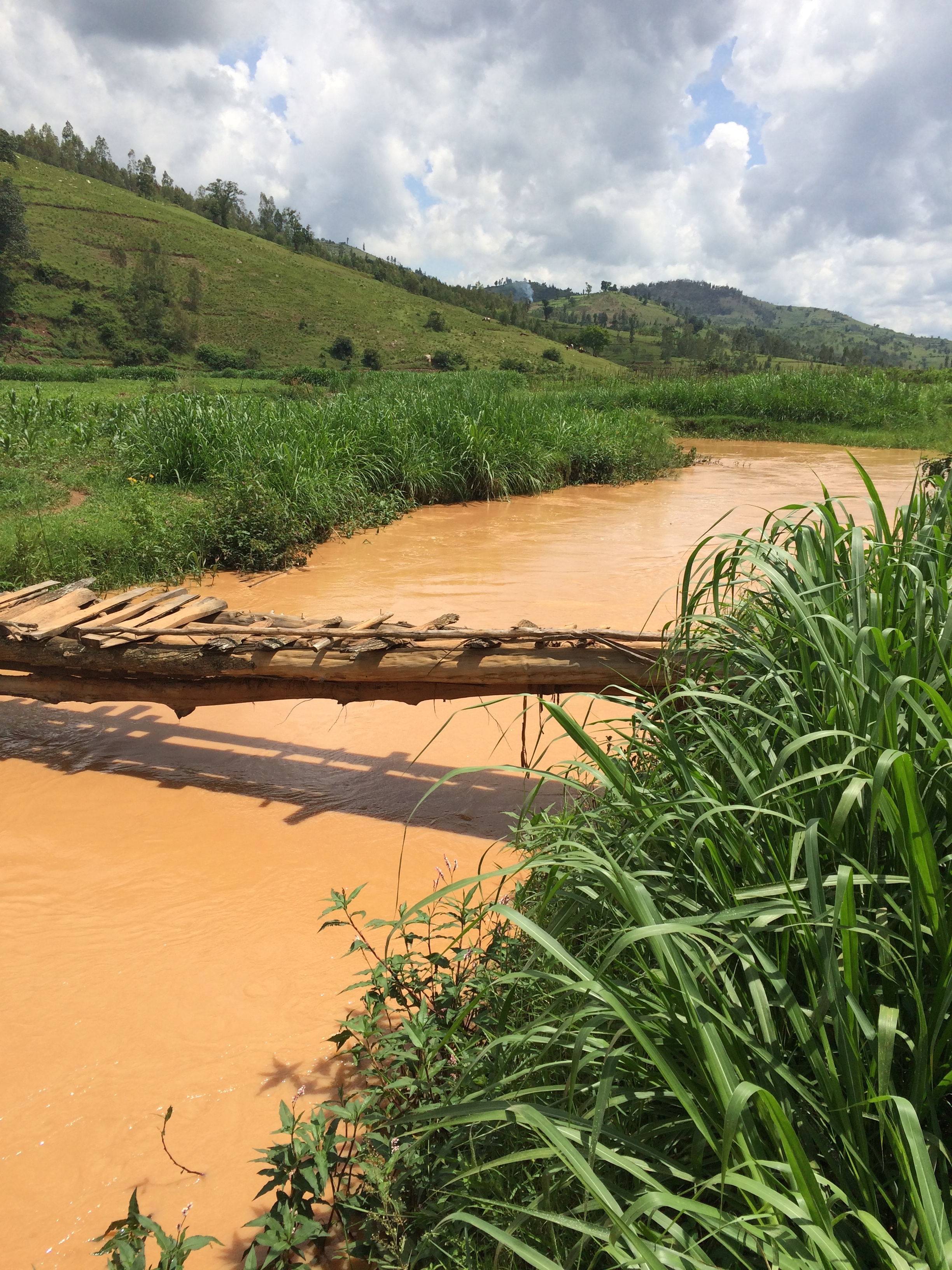
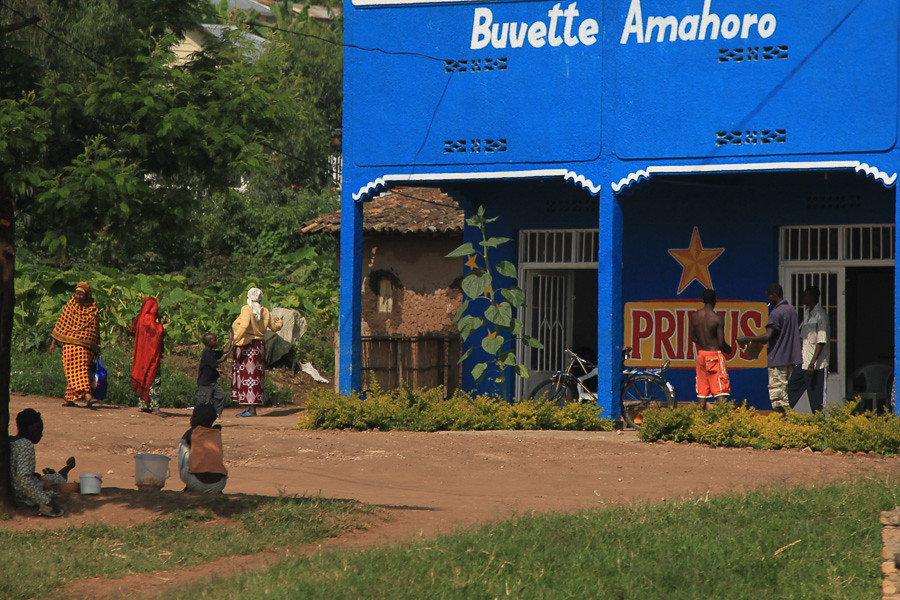
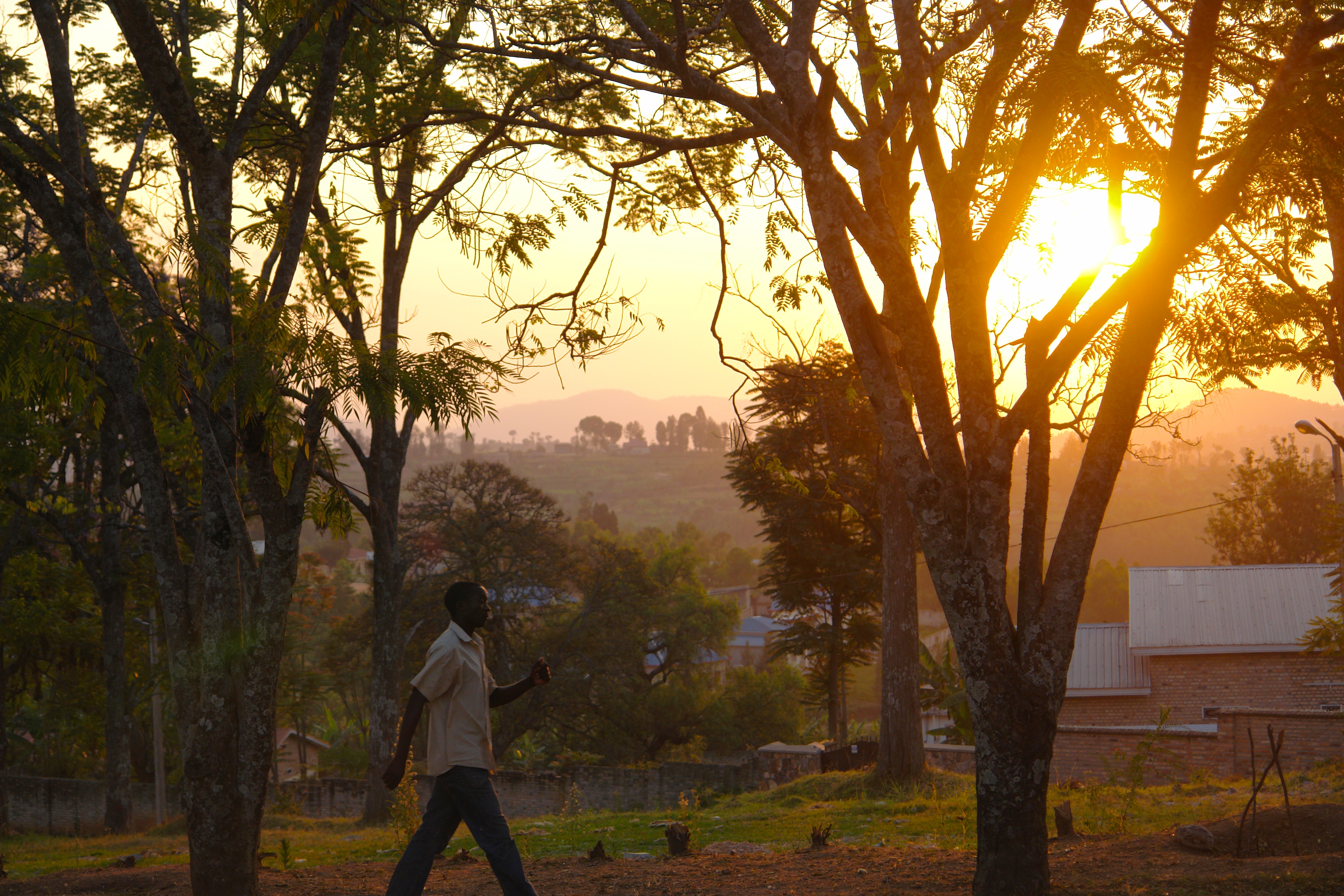
The Rural Scene of Rwanda
03 Left Top of Bank (Towards)
05 Upstream
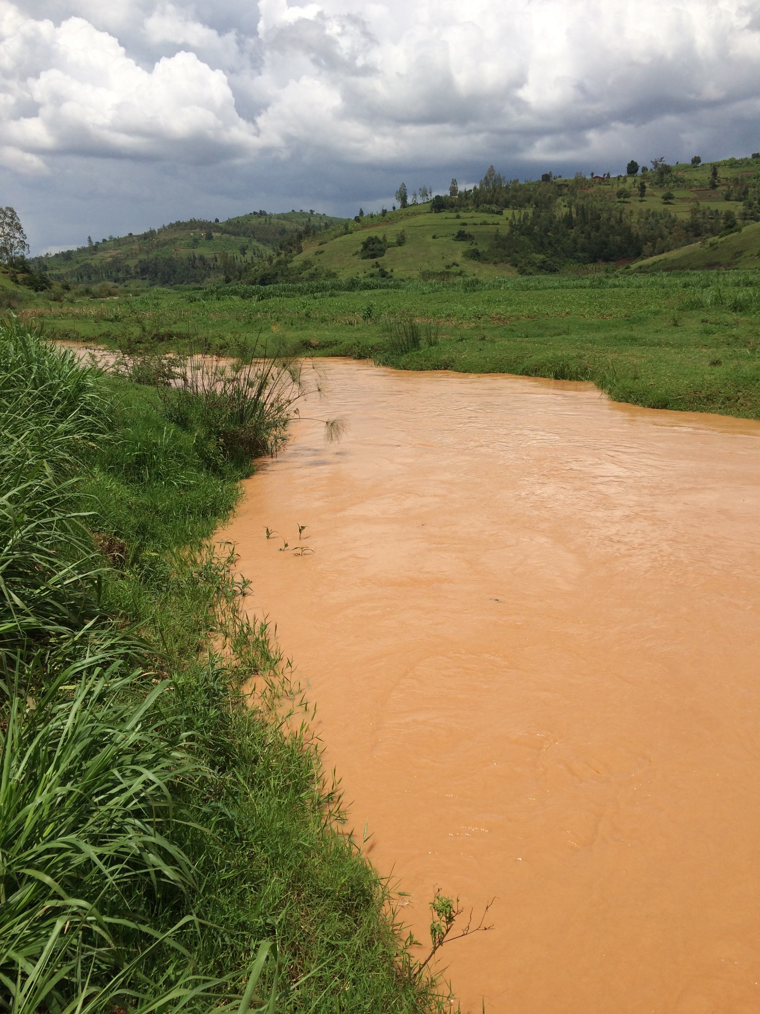
06 Downstream (1)

10a Right Survey Limit (Towards)
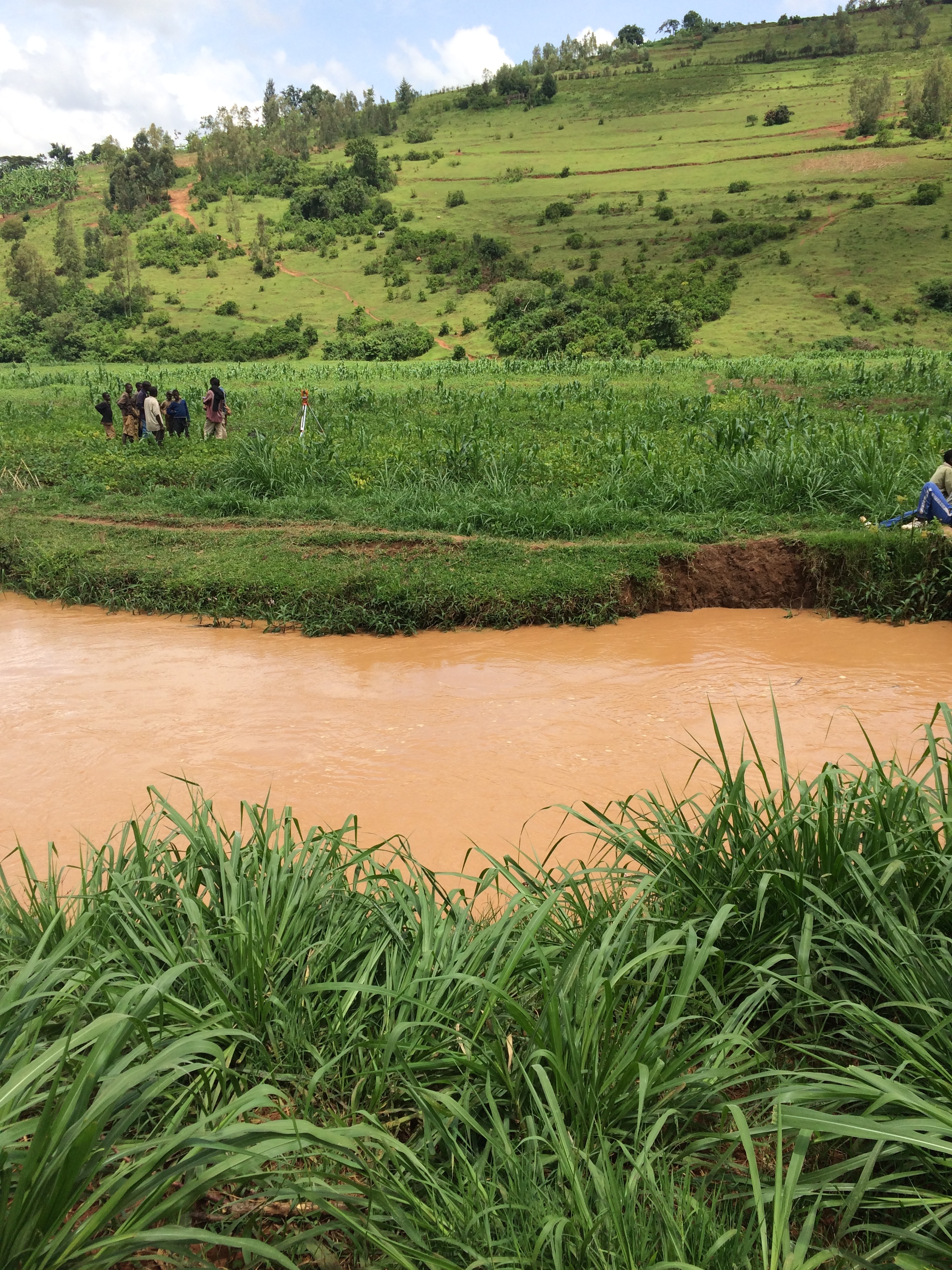
07 Left Bank (Looking towards Right Bank)

2013.08.07 IMG_8621
Harvest Day
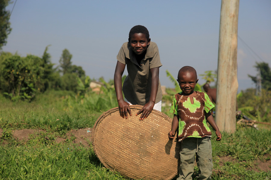
Rwandan Boys

RW-008-def
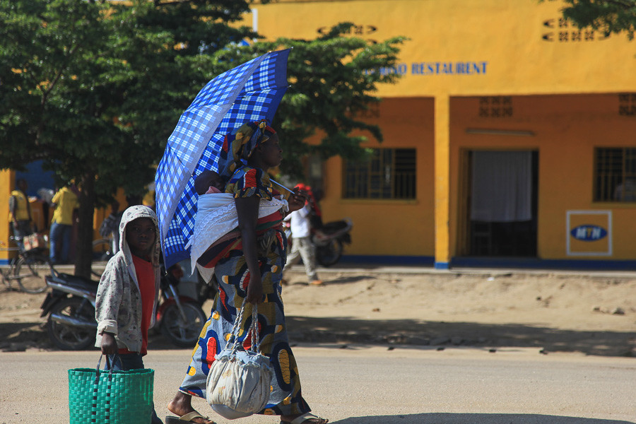
The Rural Scene of Rwanda
The Rural Scene of Rwanda
20130615_124319 - Copy

20130614_180358 - Copy
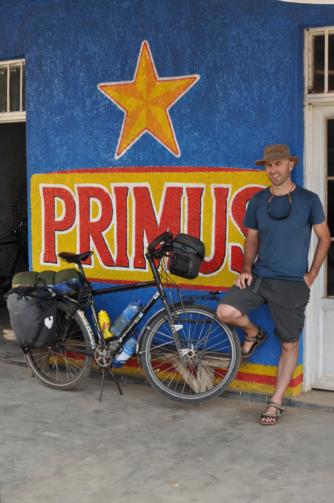
Peter Gostelow
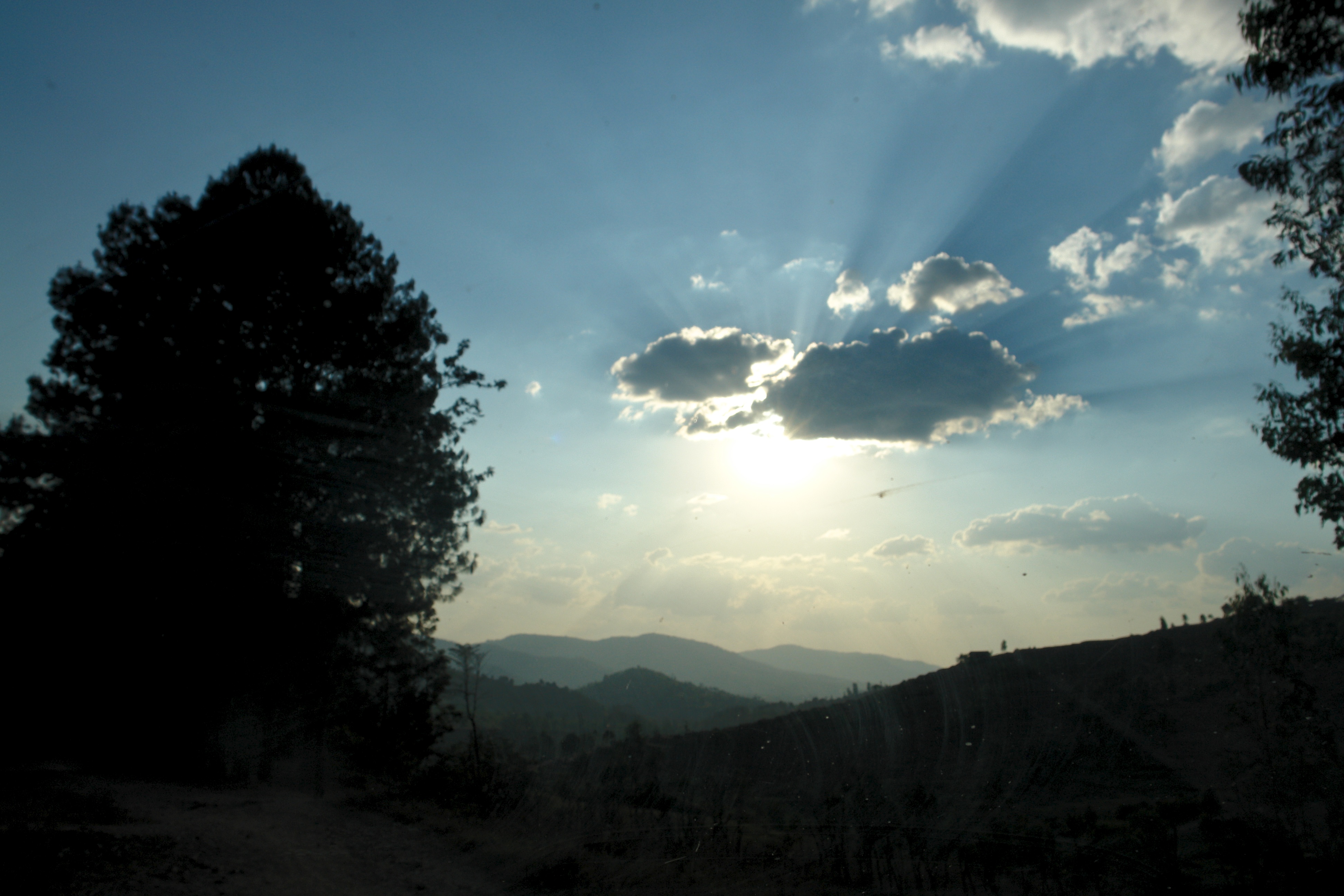
Nyanza Dusk
Building climate services capacity in Rwanda

2013.08.07 DSC01238

2013.08.07 DSC01238
Topographic Map of Unnamed Road, Muyira, Rwanda
Find elevation by address:

Places near Unnamed Road, Muyira, Rwanda:
Unnamed Road
Unnamed Road
Nyanza
Unnamed Road
Akanyaru
Unnamed Road
Unnamed Road
Unnamed Road
Huye
Bugesera
3b
Mushubati
3a
Mpira
Gisagara
Unnamed Road
Southern Province
Kirehe
Nyarugenge
Rwanda
Recent Searches:
- Elevation of N 82nd Pl, Mesa, AZ, USA
- Elevation of Snake Hill Rd, North Scituate, RI, USA
- Elevation of Lake Shore Dr, Warwick, RI, USA
- Elevation of E Brightview Ave, Pittsburgh, PA, USA
- Elevation of Cavendish Rd, Harringay Ladder, London N4 1RR, UK
- Elevation of 1 Zion Park Blvd, Springdale, UT, USA
- Elevation of Ganderbal
- Elevation map of Konkan Division, Maharashtra, India
- Elevation of Netaji Nagar, Hallow Pul, Kurla, Mumbai, Maharashtra, India
- Elevation of Uralsk, Kazakhstan